
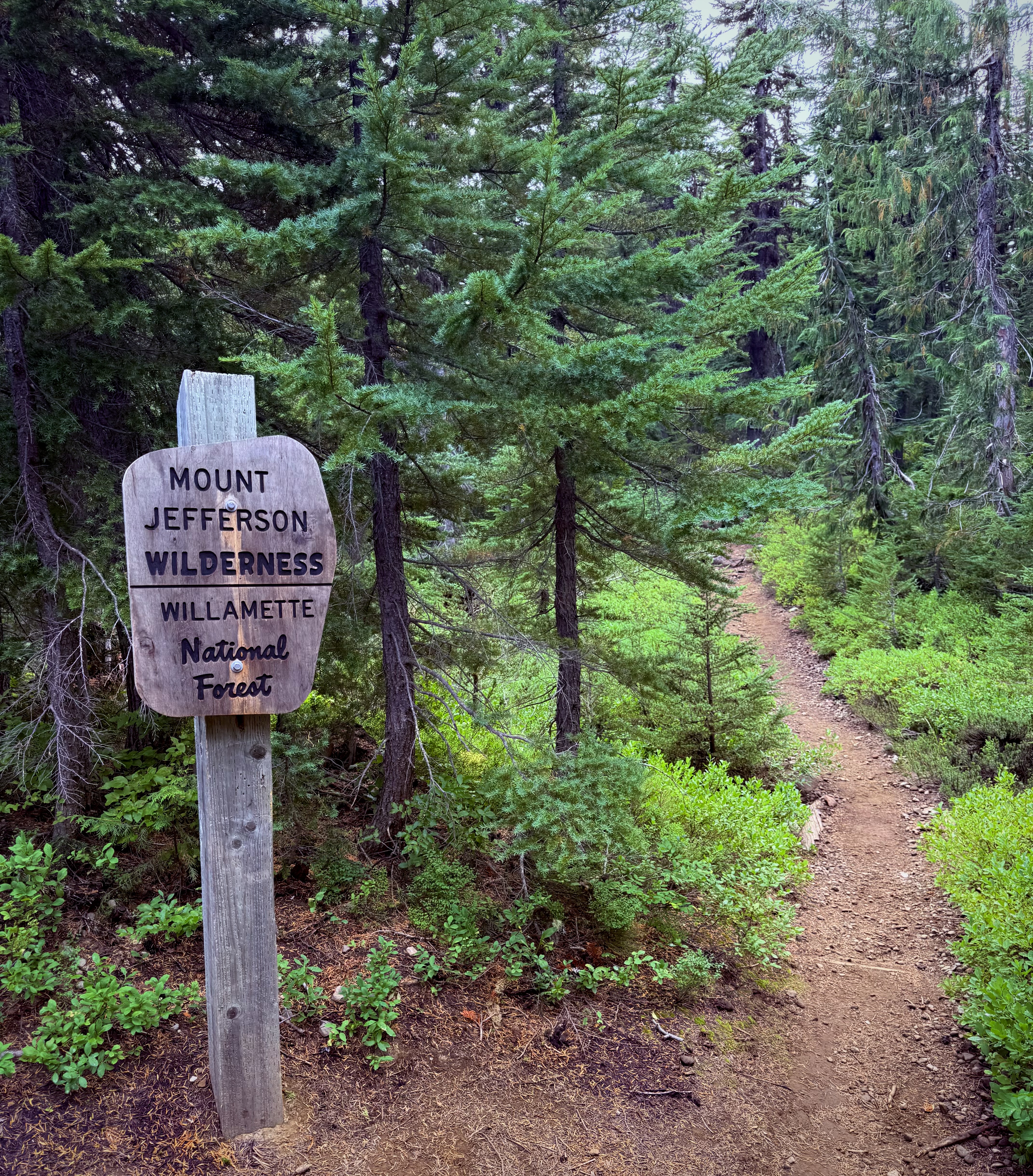
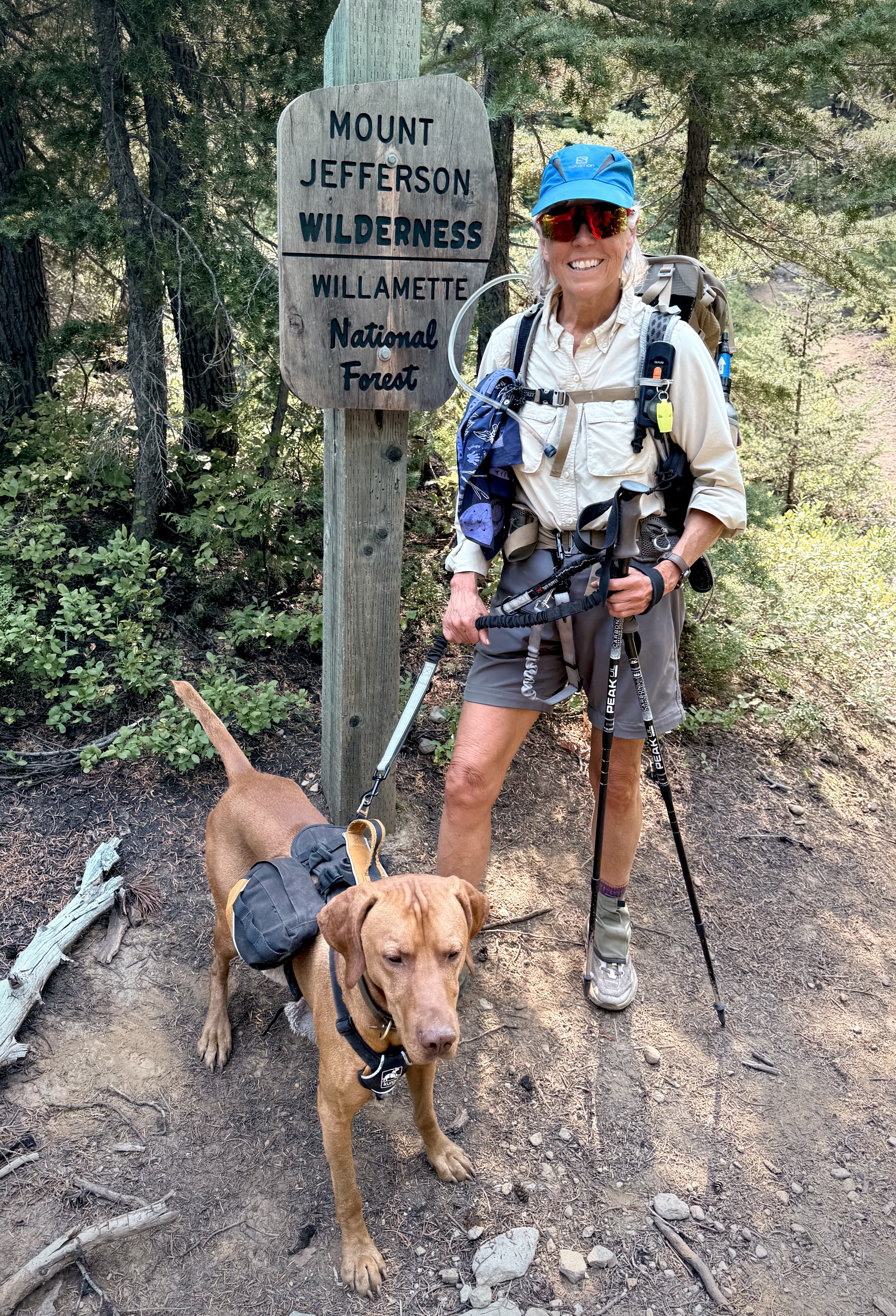
MOUNT JEFFERSON WILDERNESS
MOUNT HOOD NATIONAL FOREST
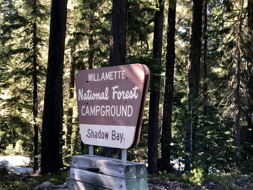
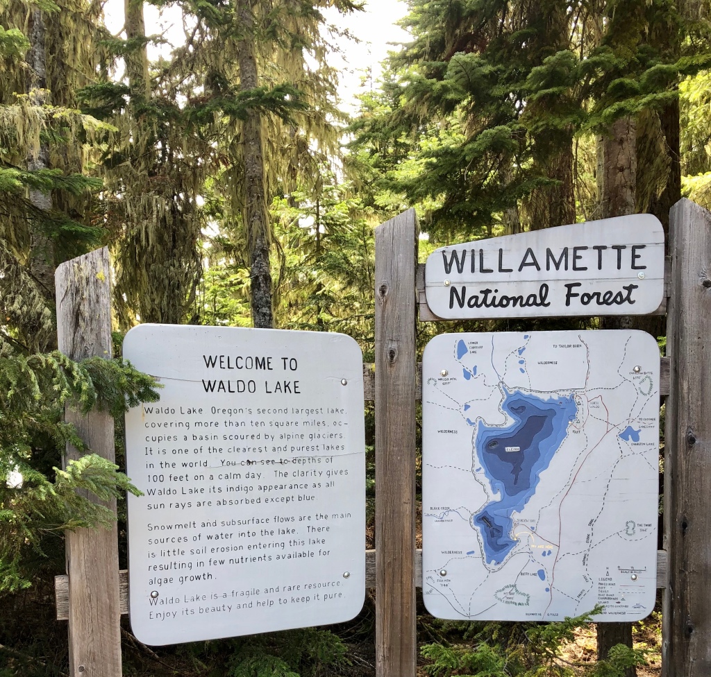
WILLAMETTE NATIONAL FOREST
Activity: Backpacking
41 miles, 7,014 elevation gain, 21 hours moving time, rated Moderate to Hard
Date: 8/25-30/25
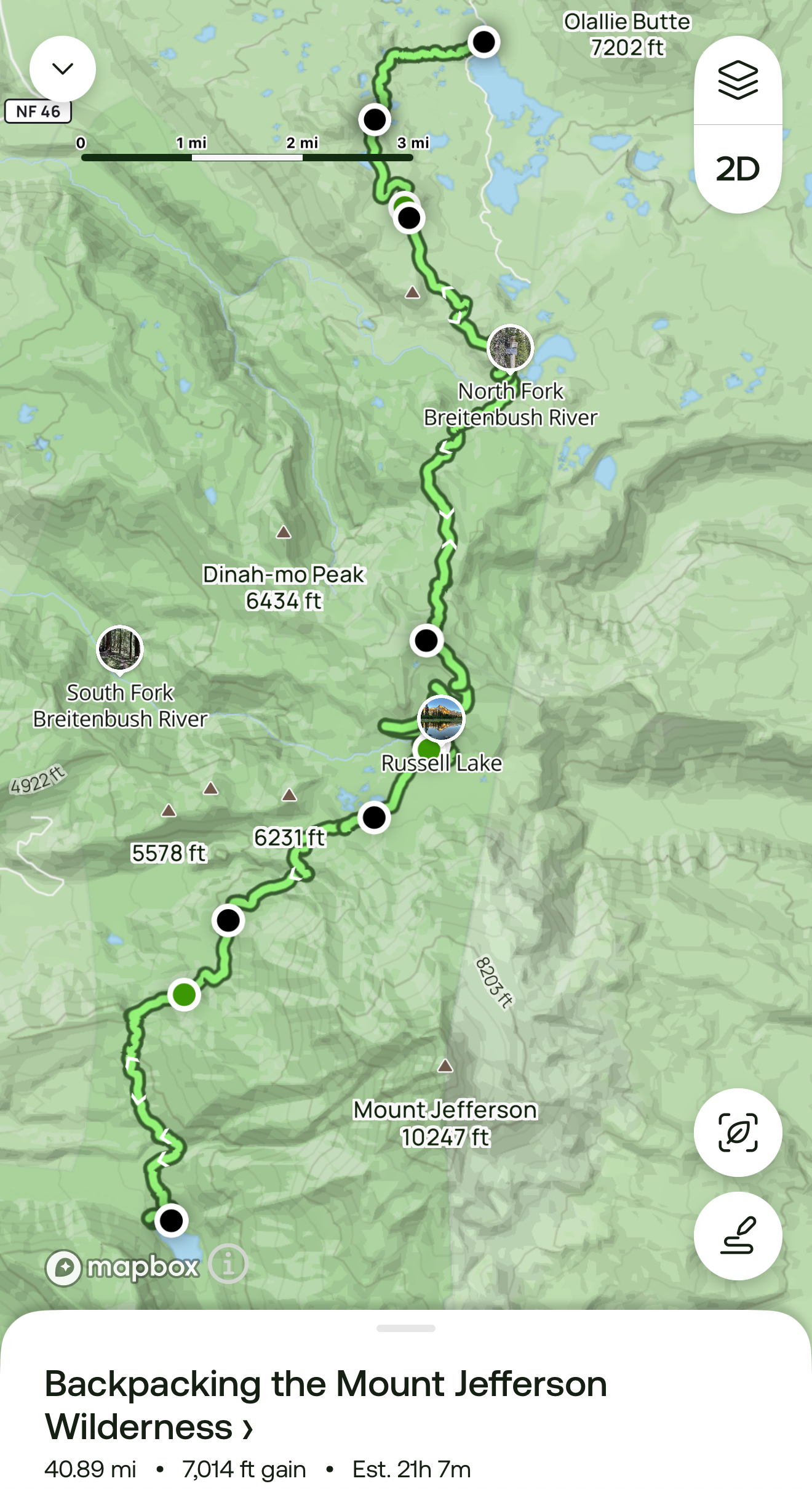
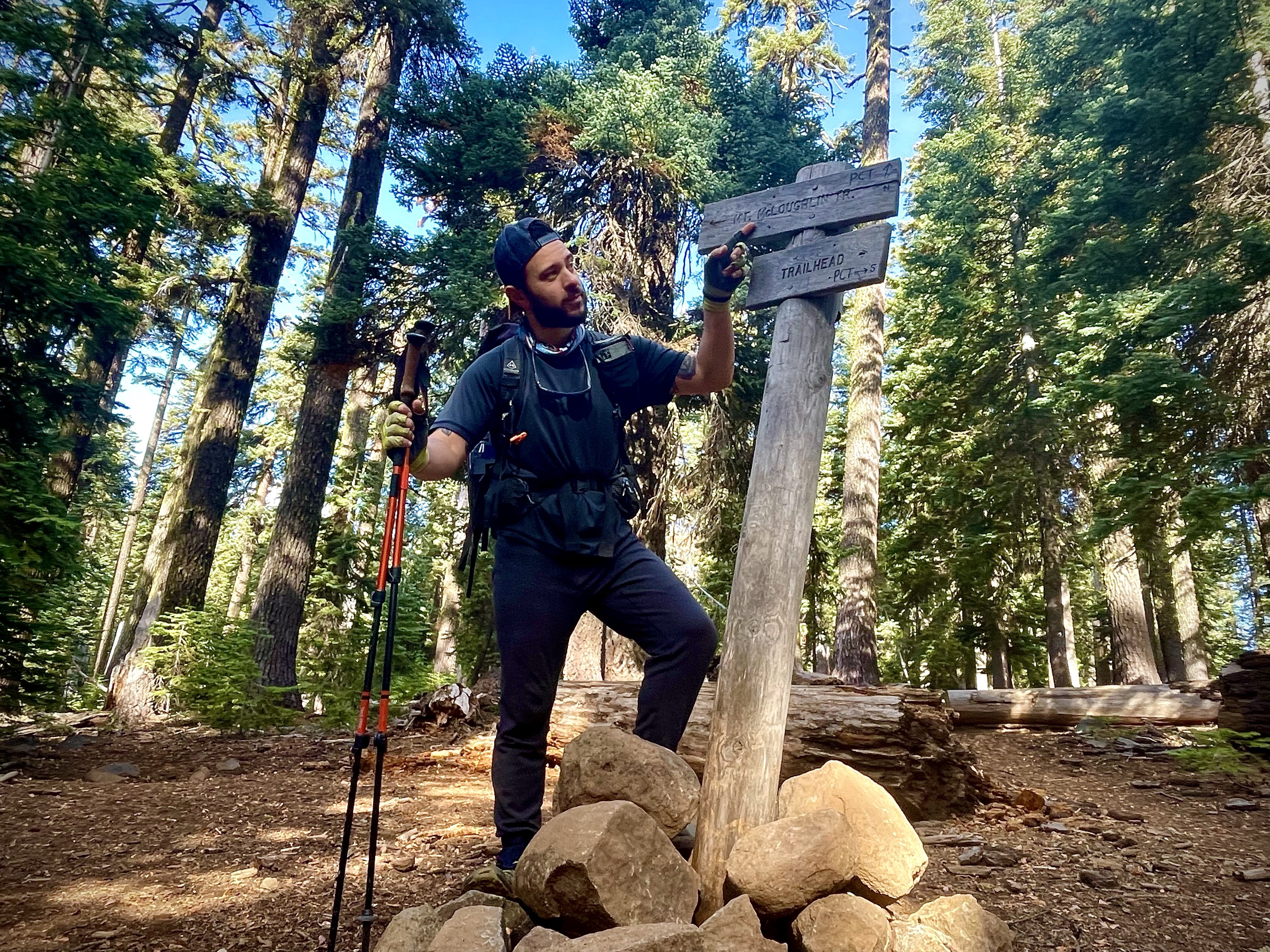
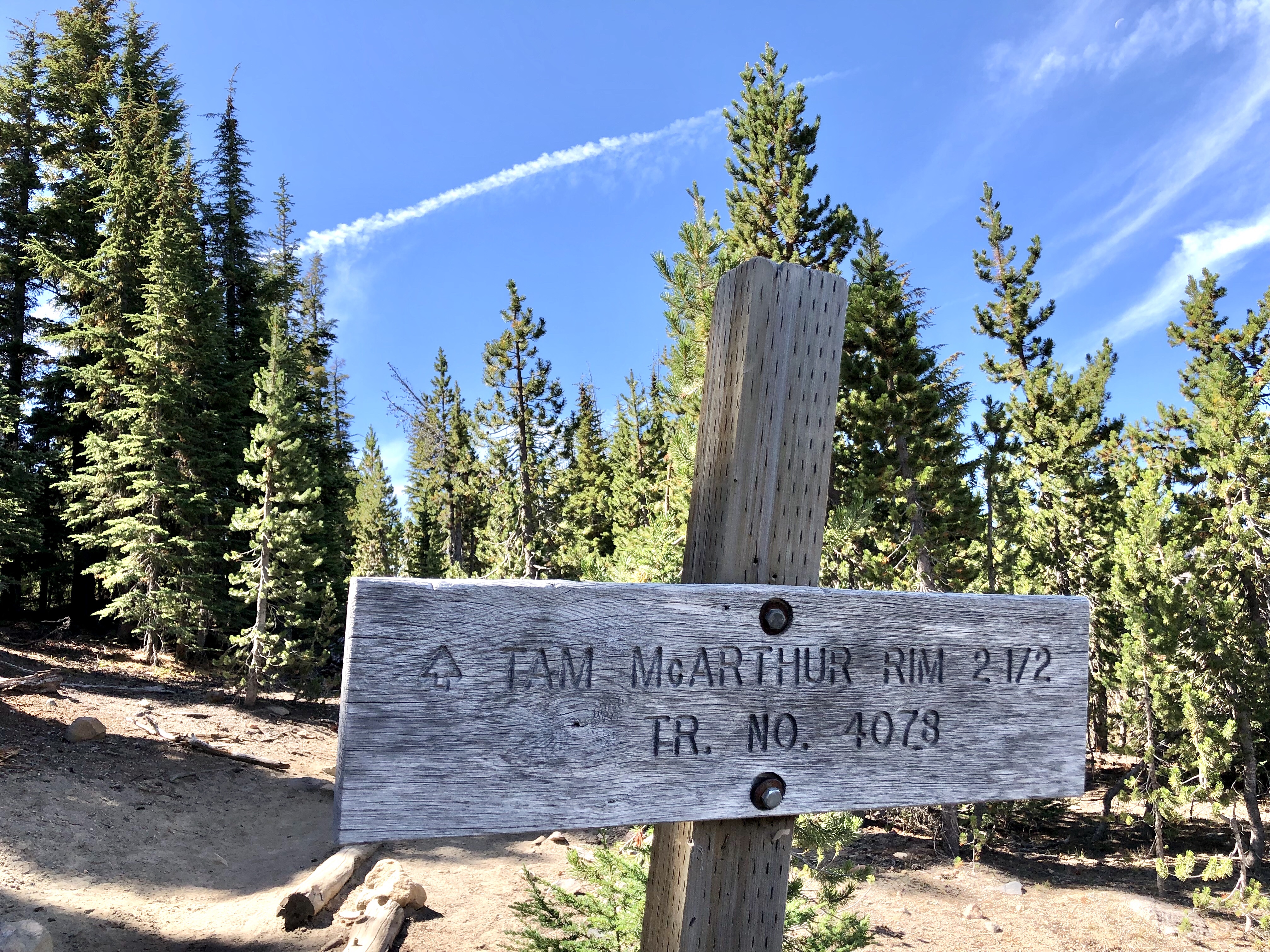
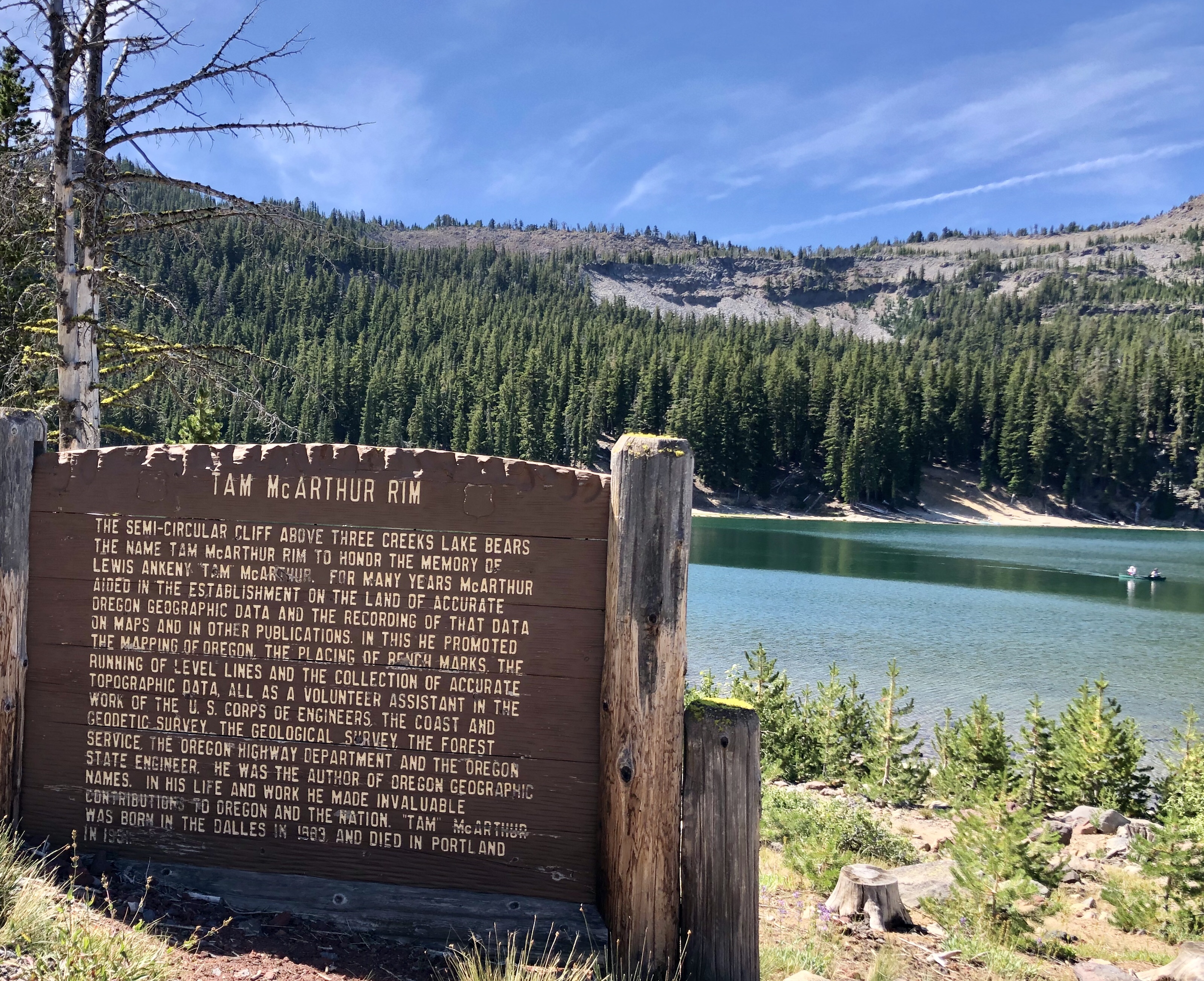
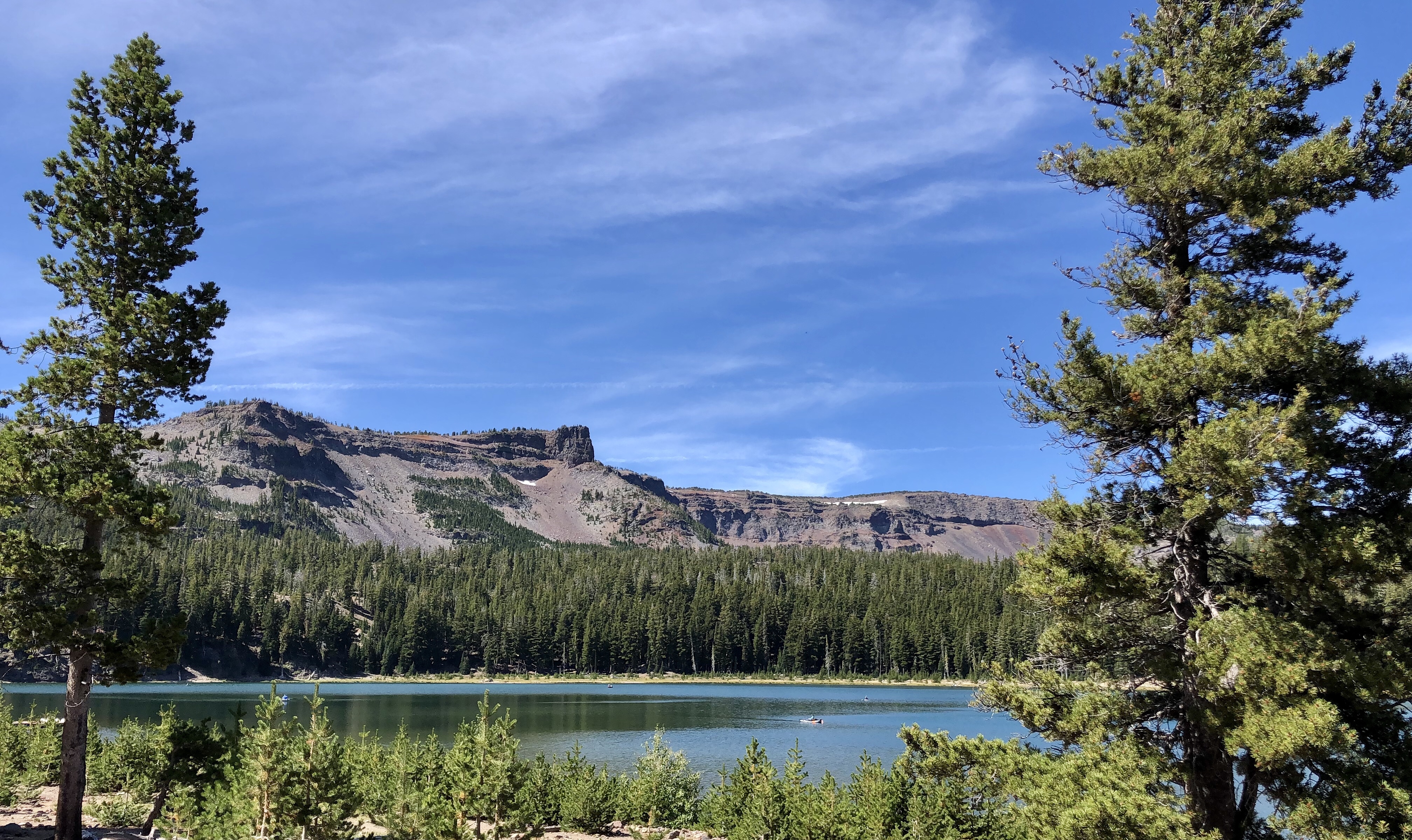
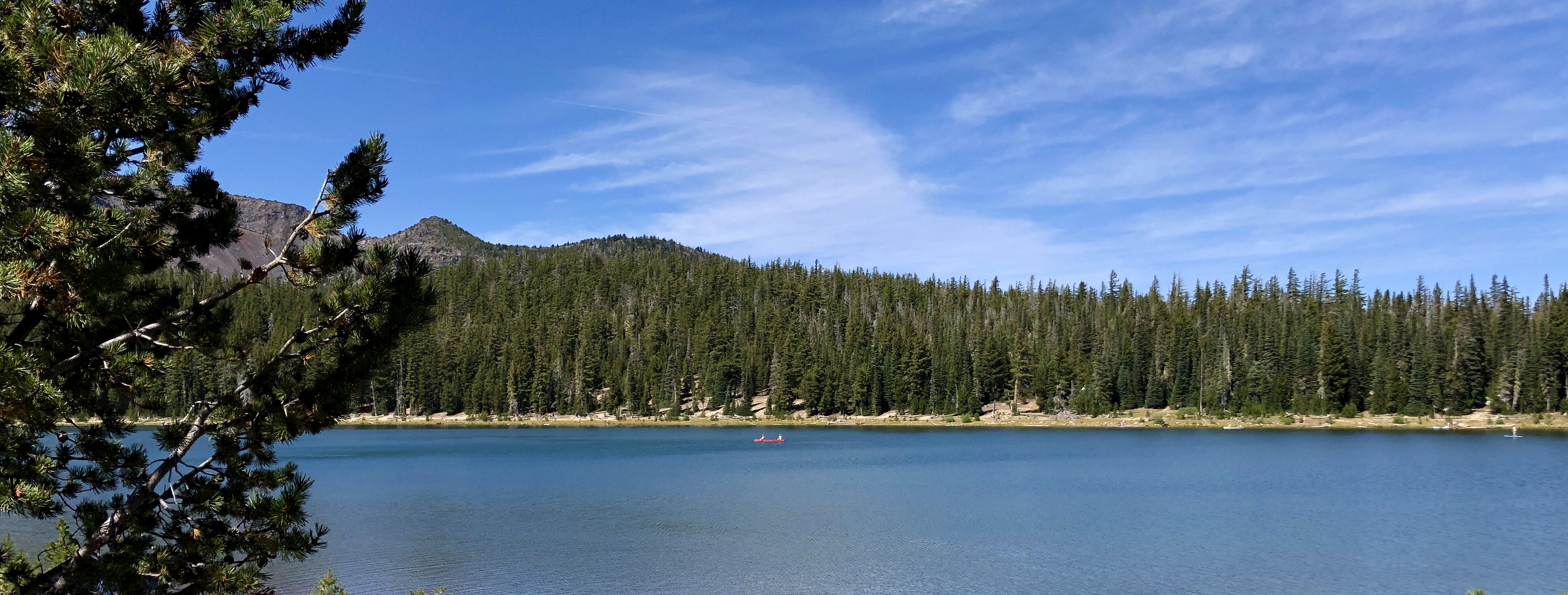
Day 4 & 5: Russell Lake – Cigar Lake – Olallie Lake
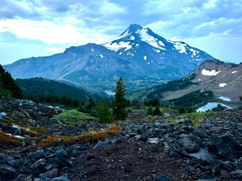
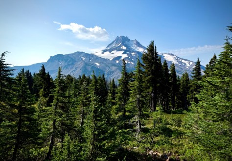
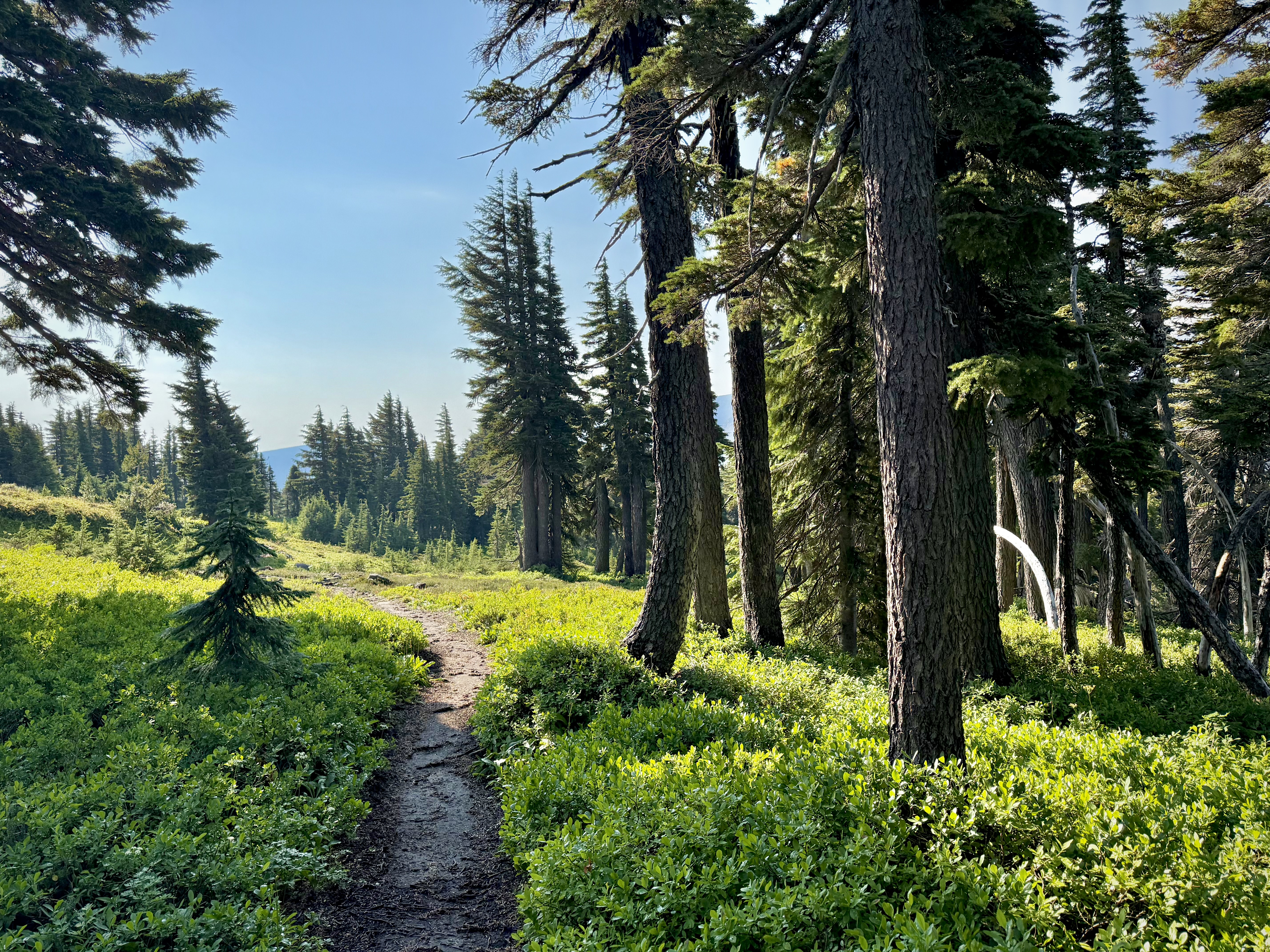
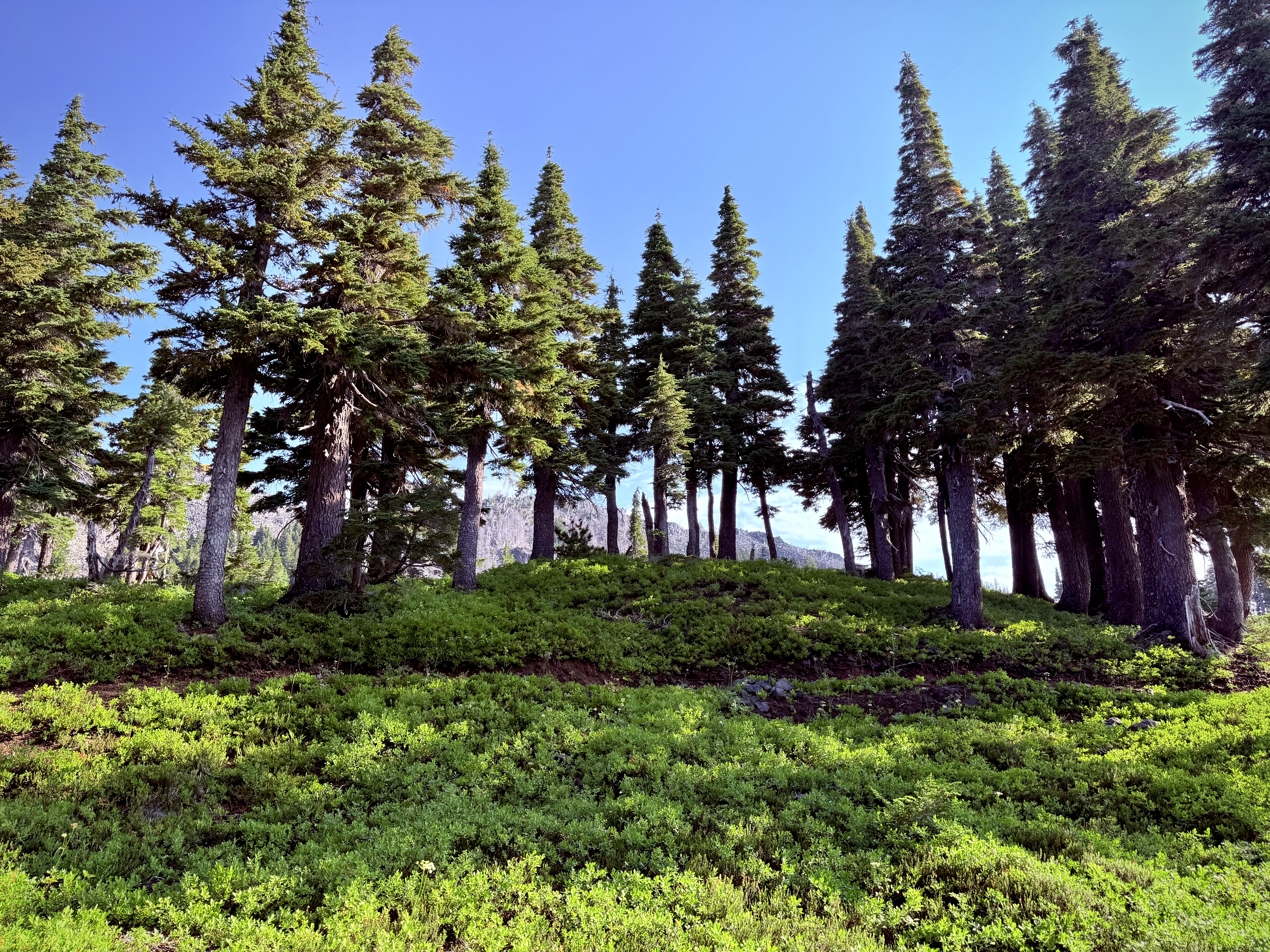
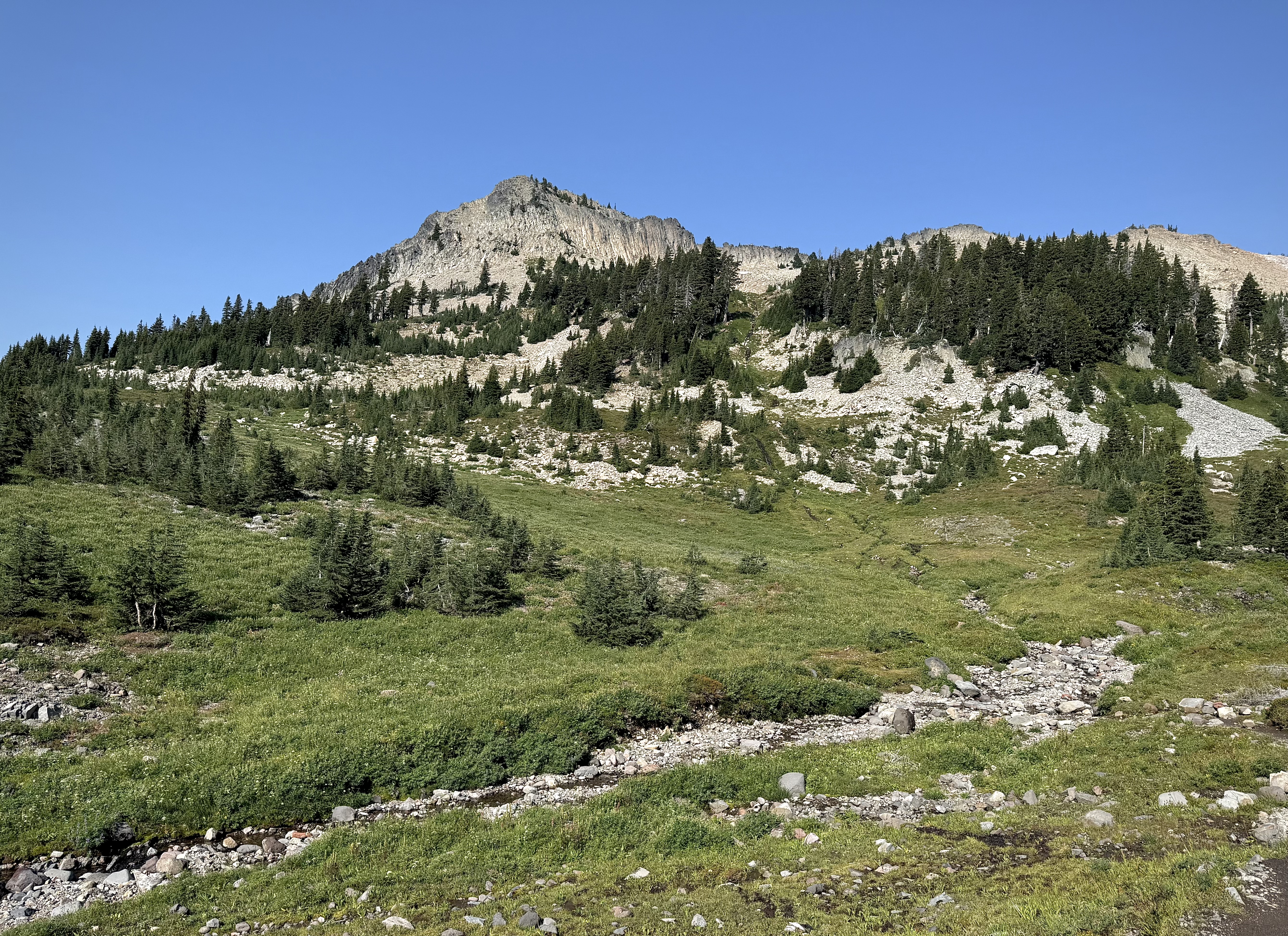
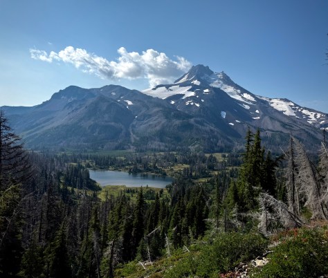
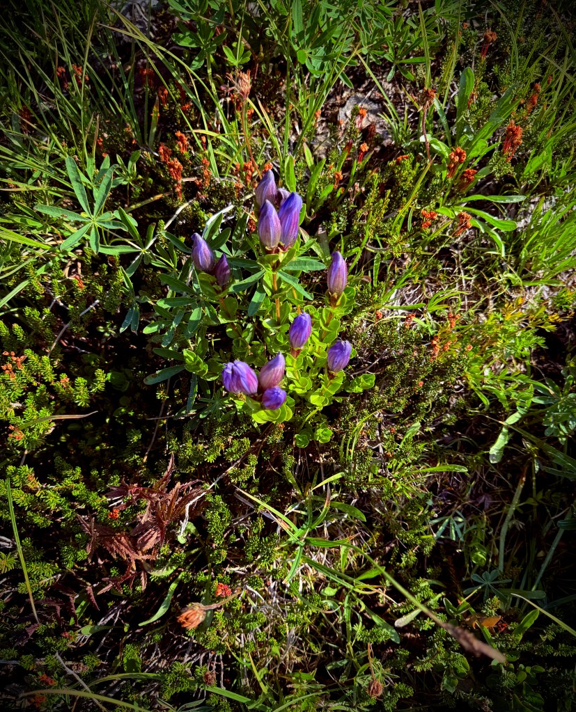
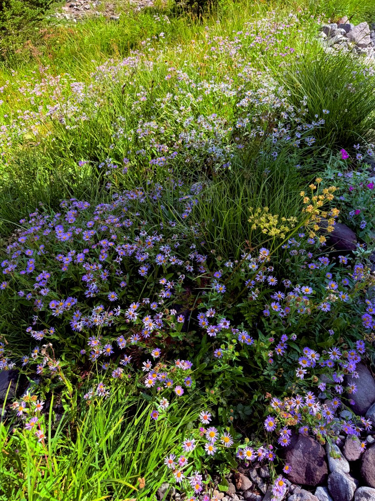
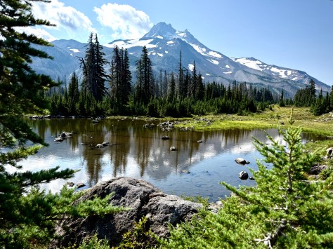
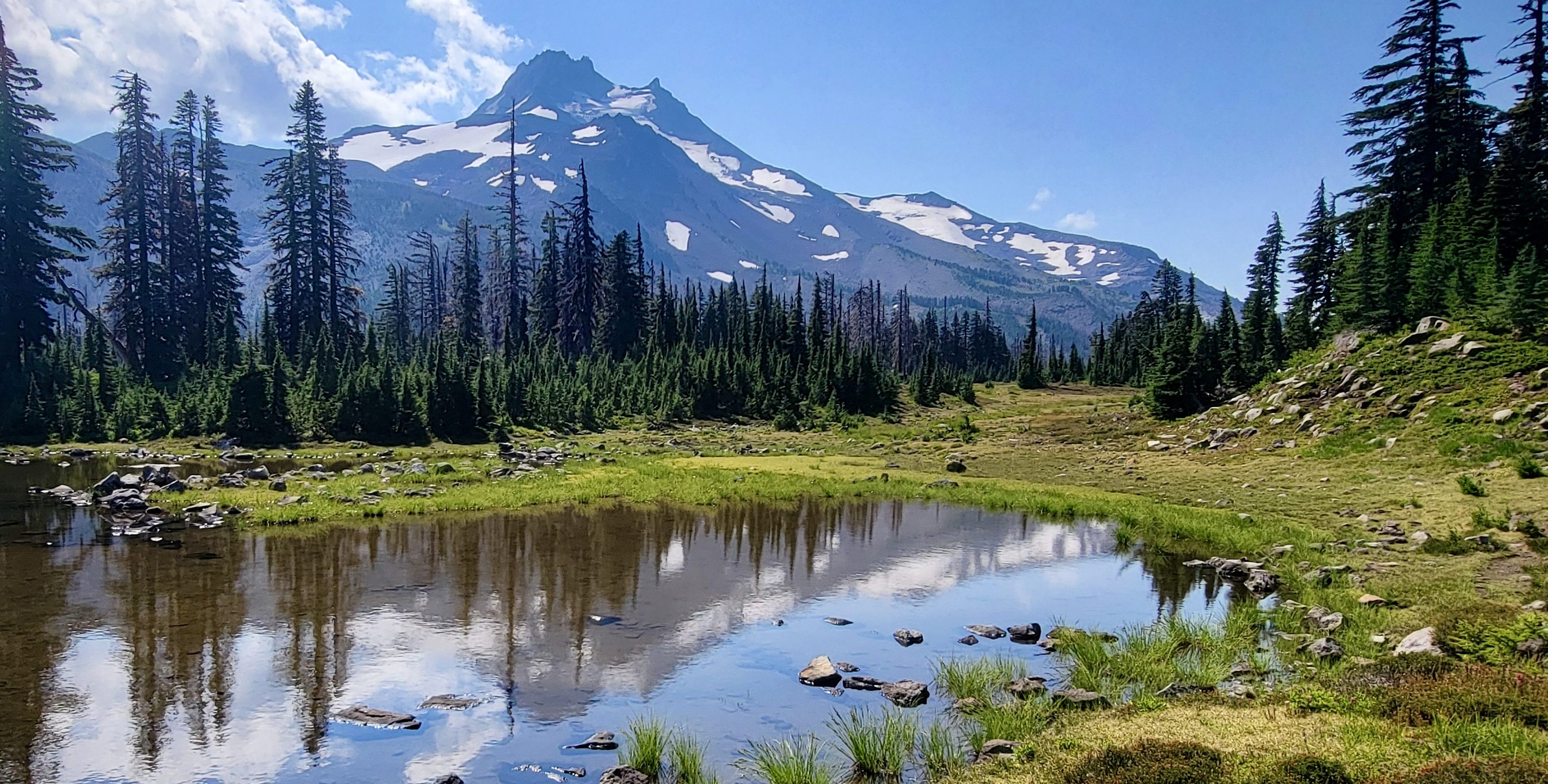
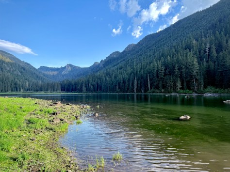
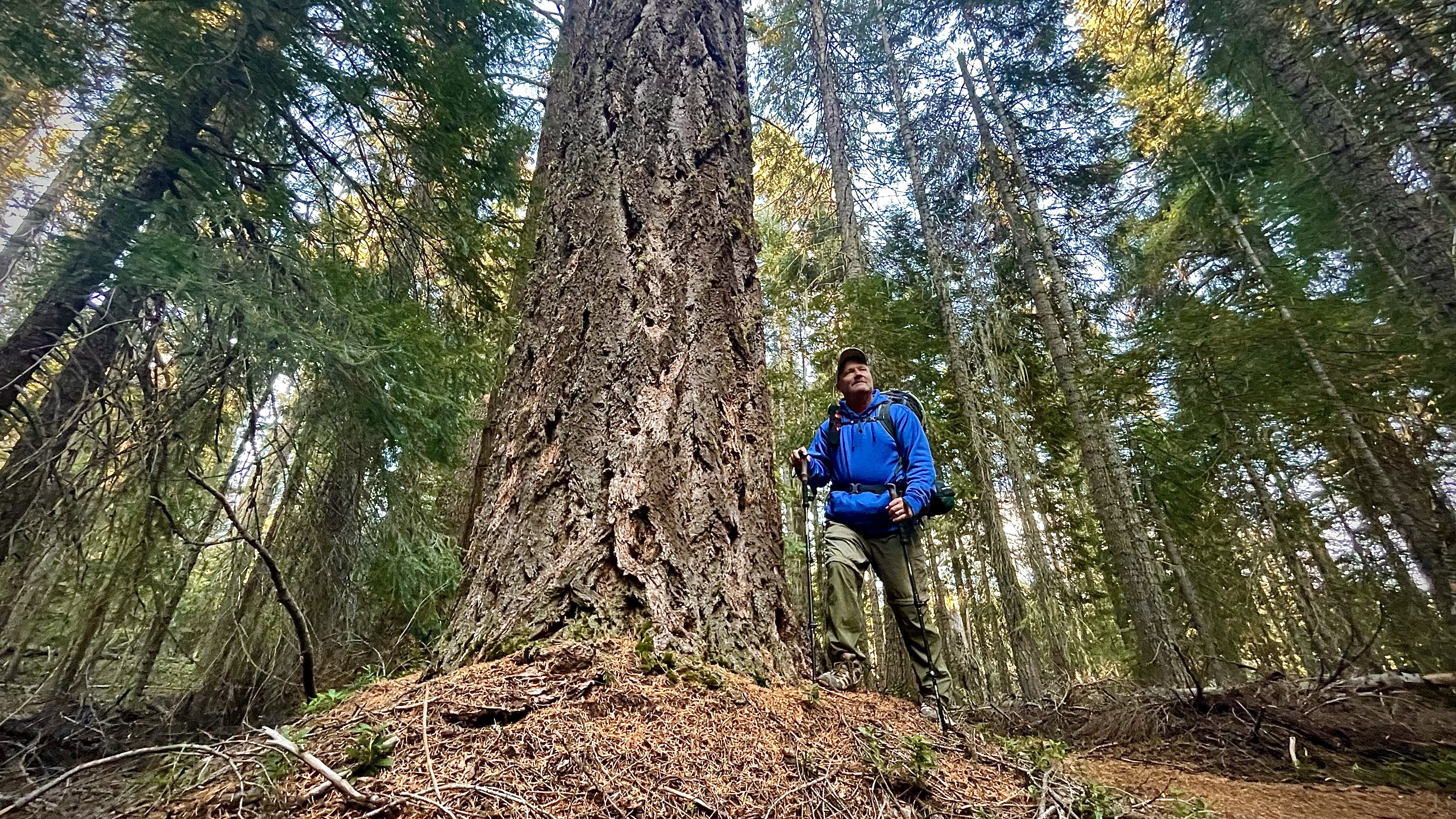
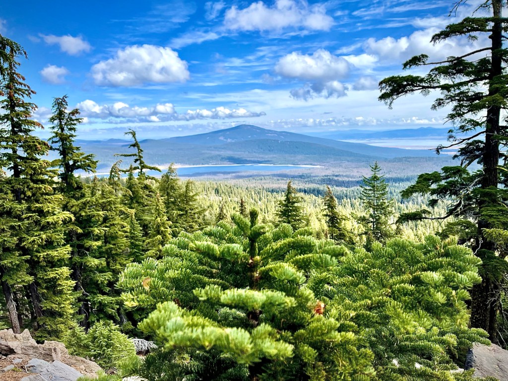
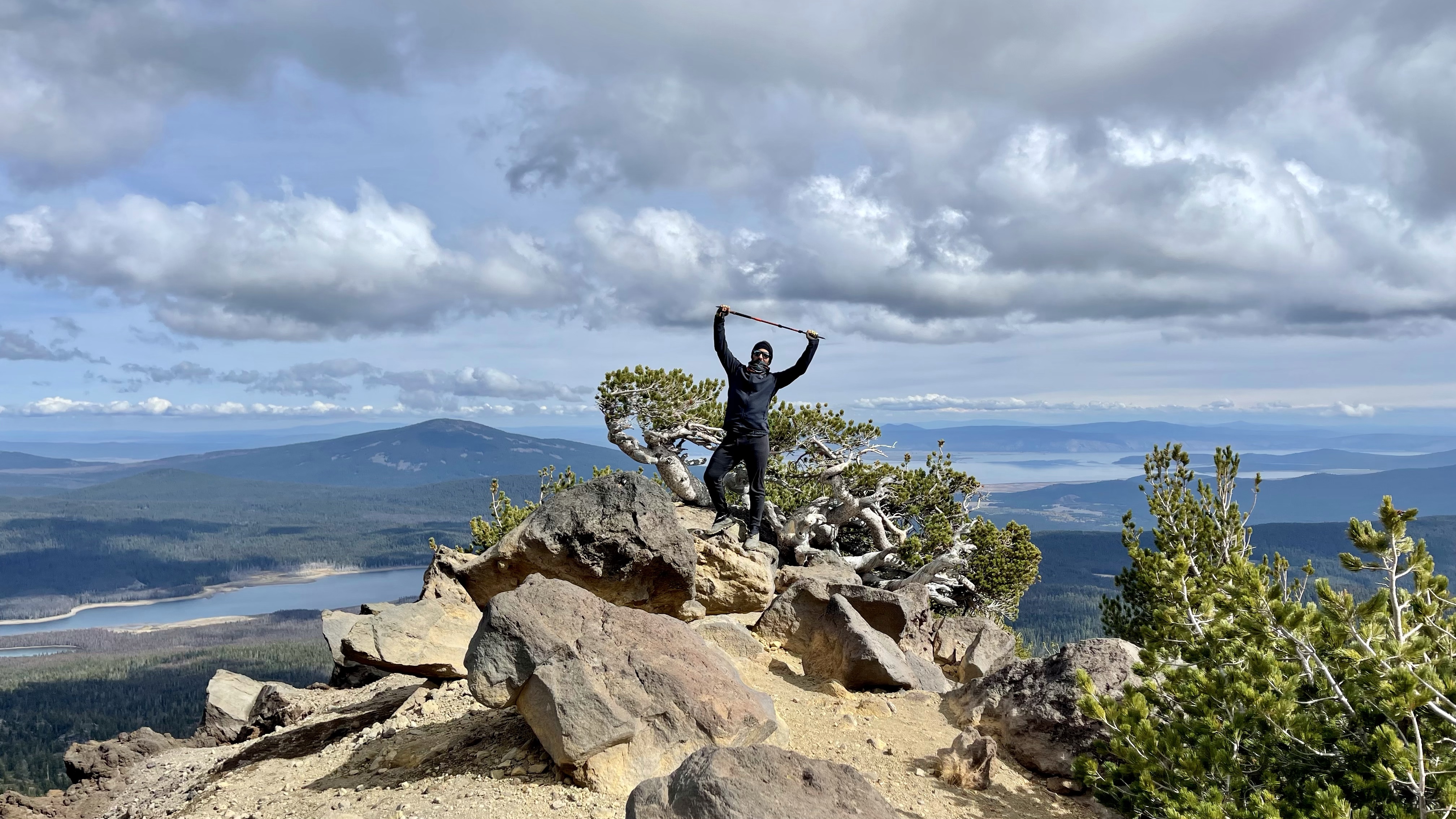
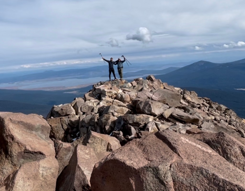
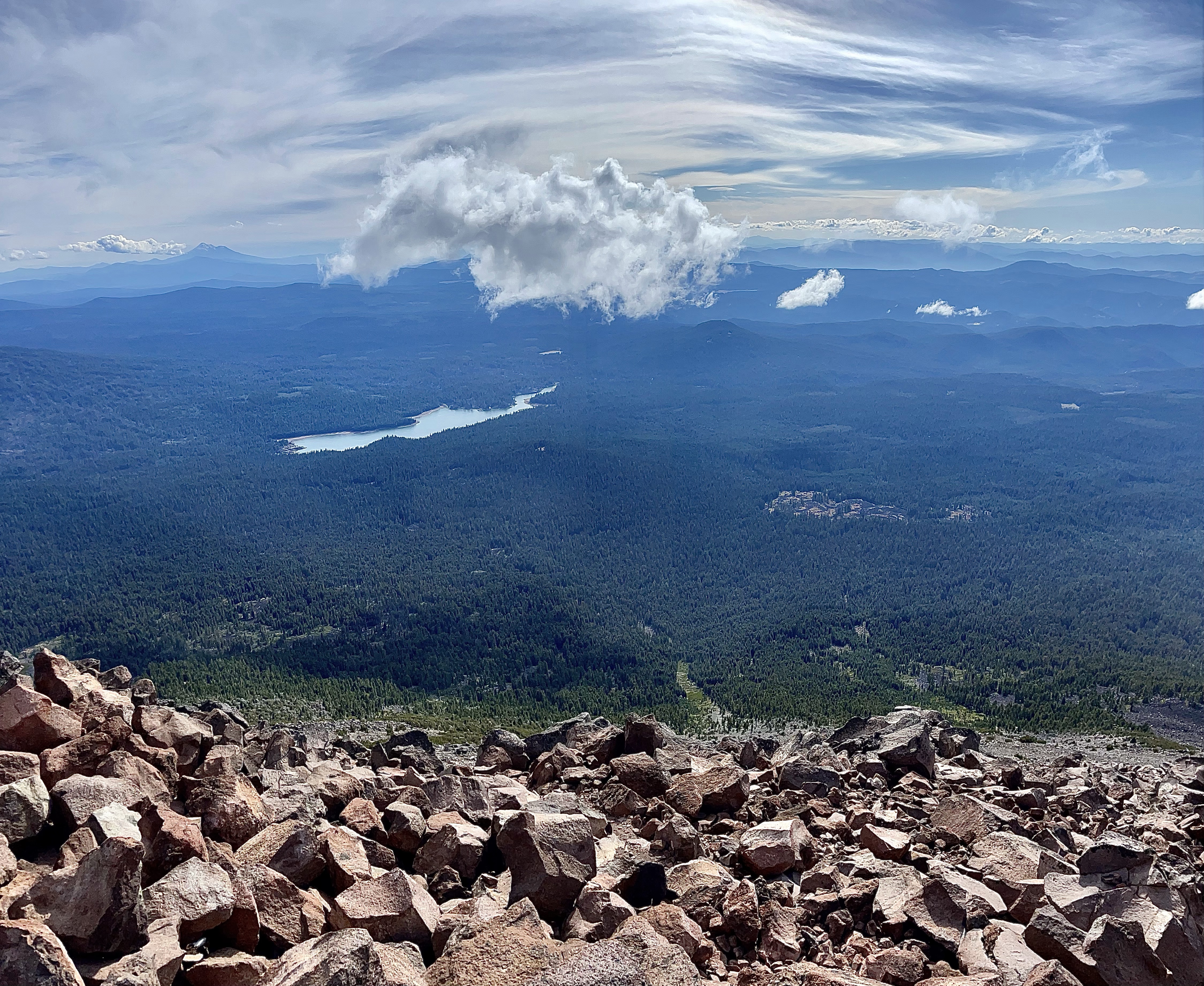
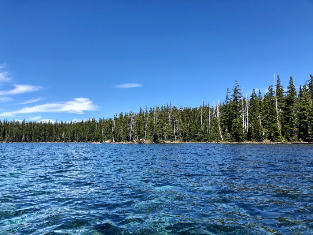
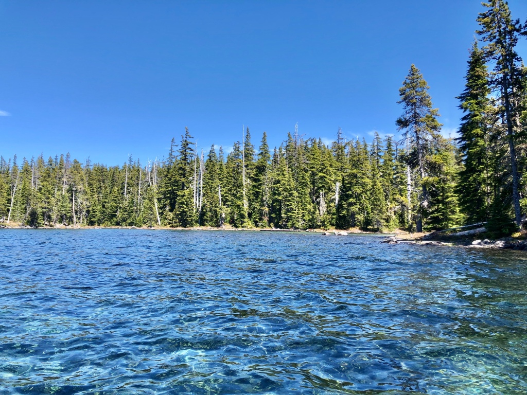
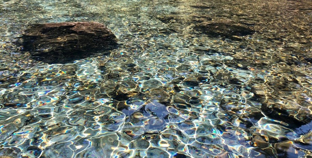
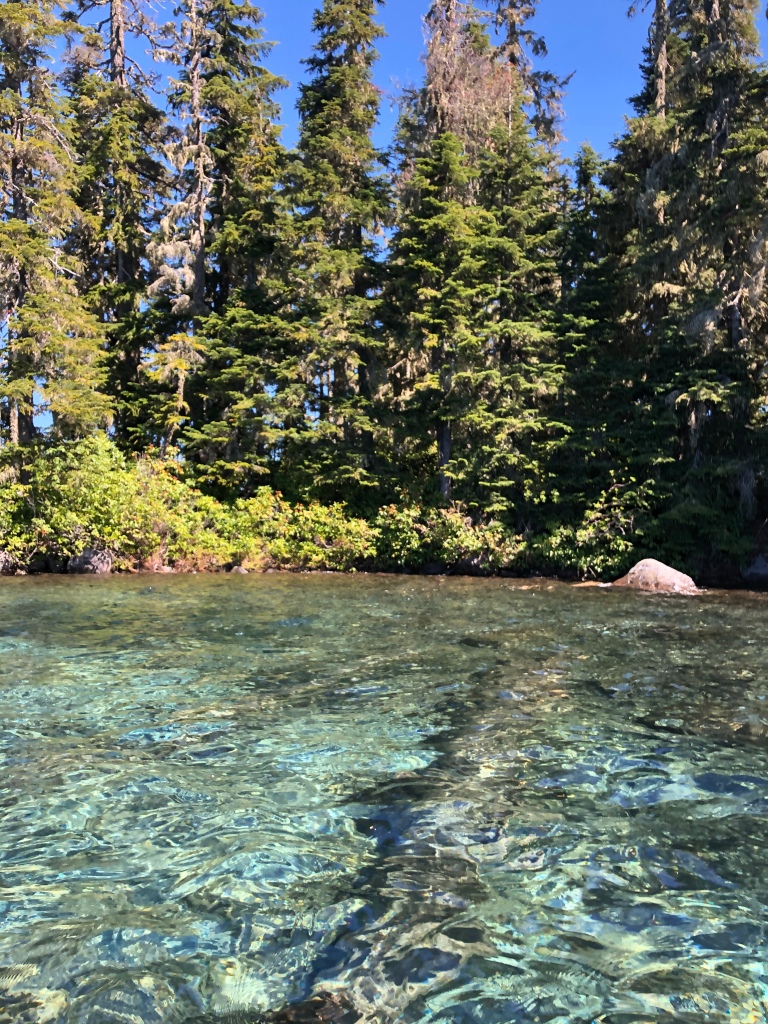
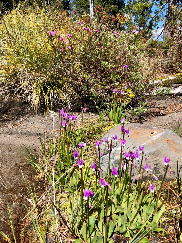
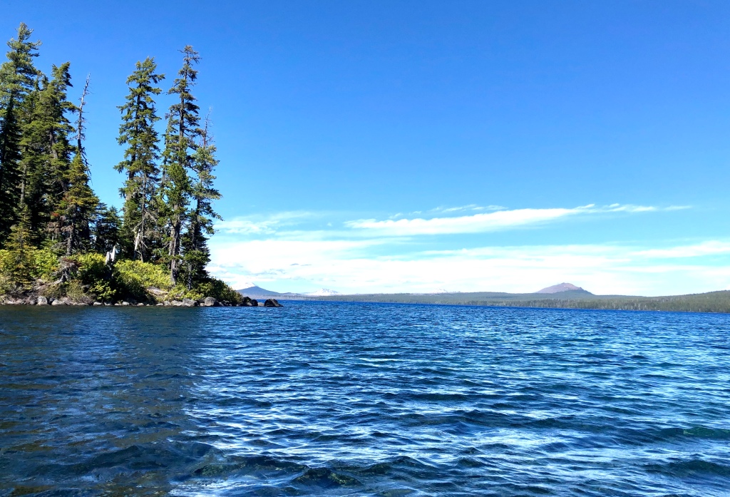
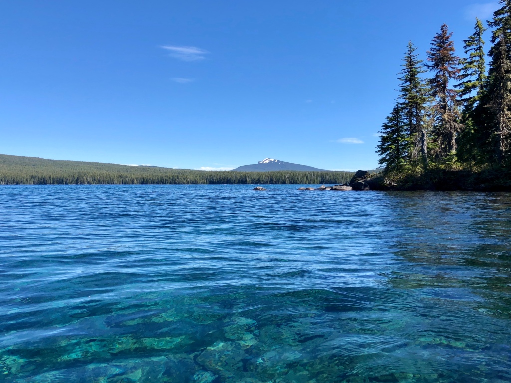
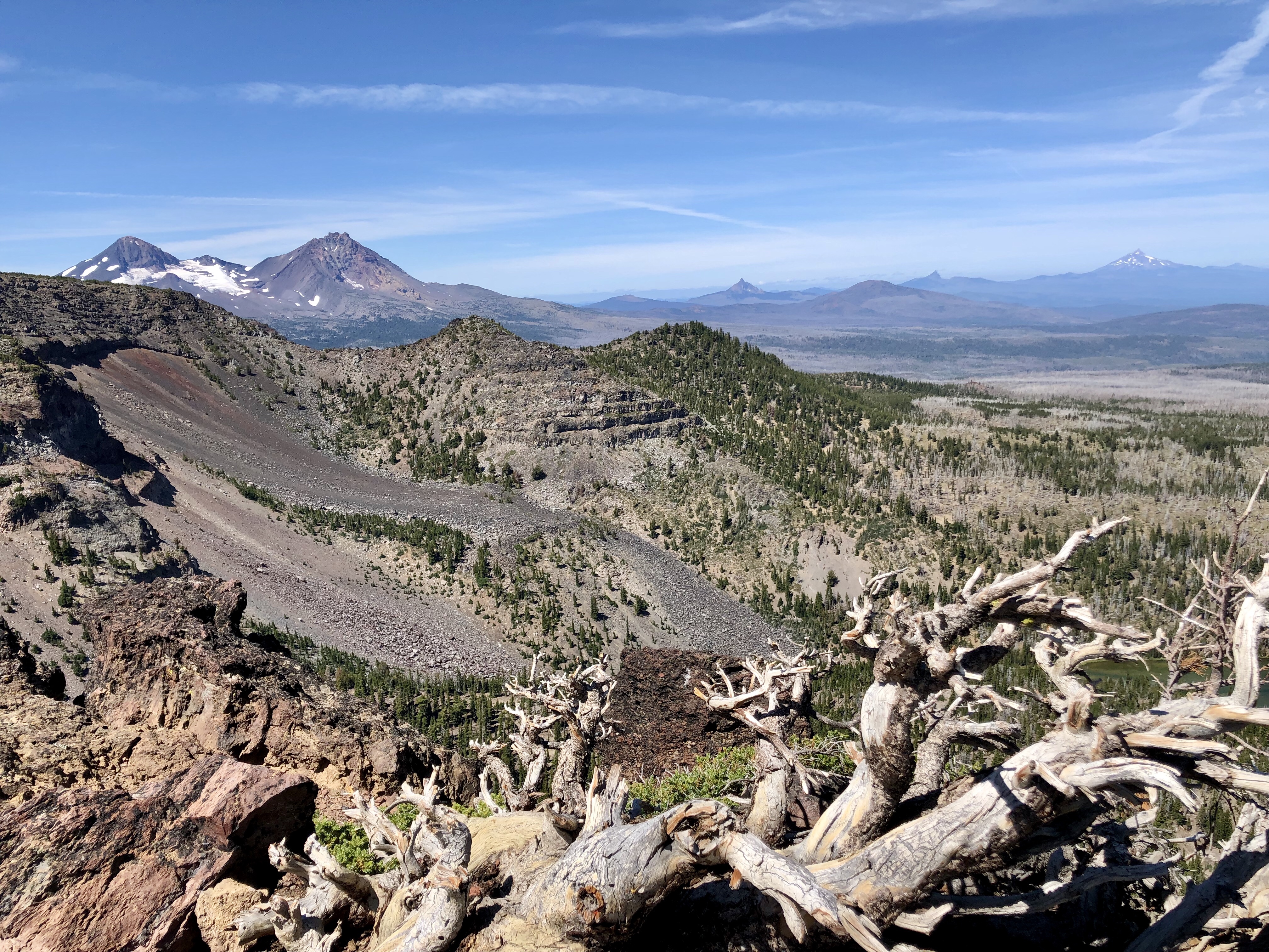
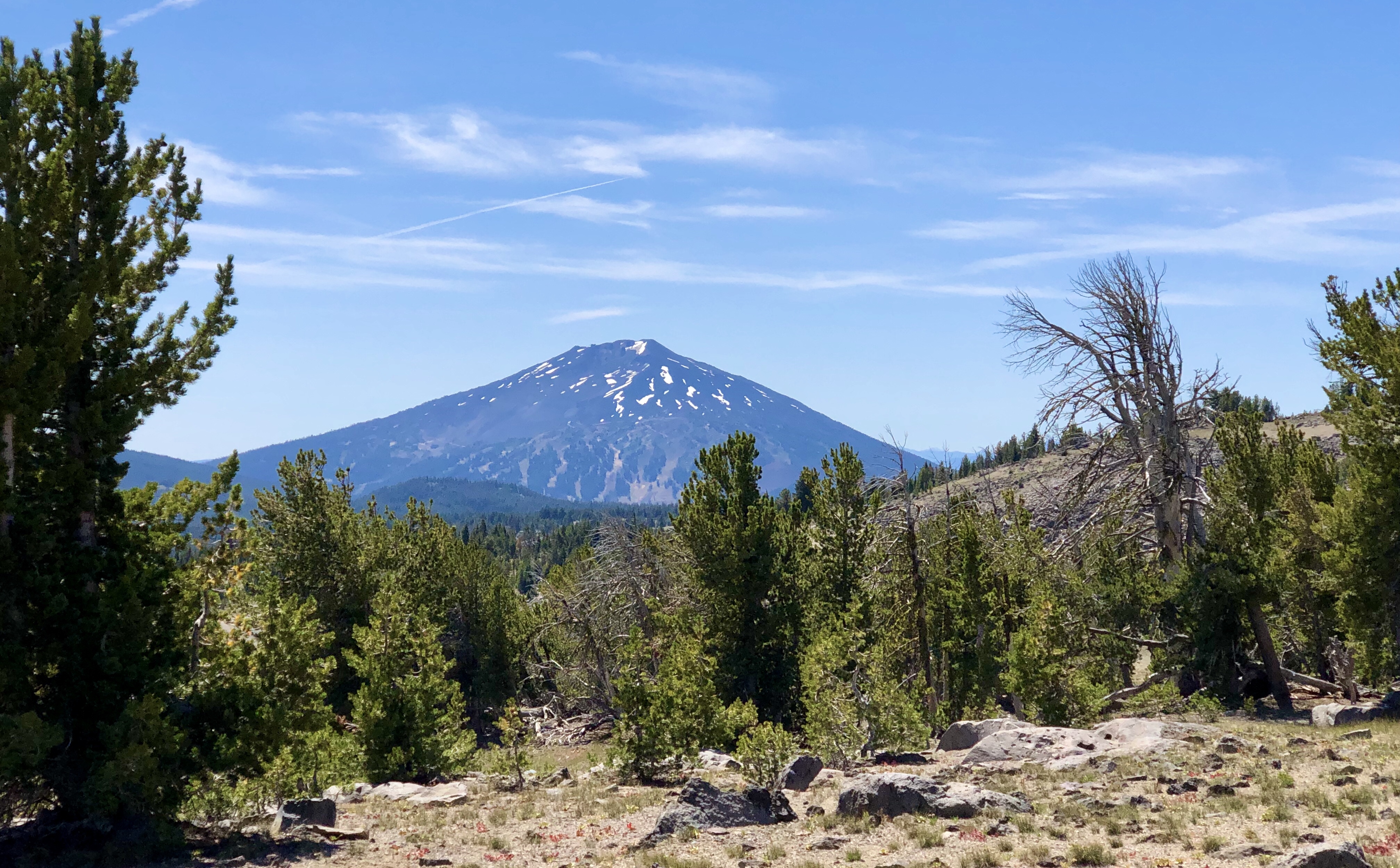
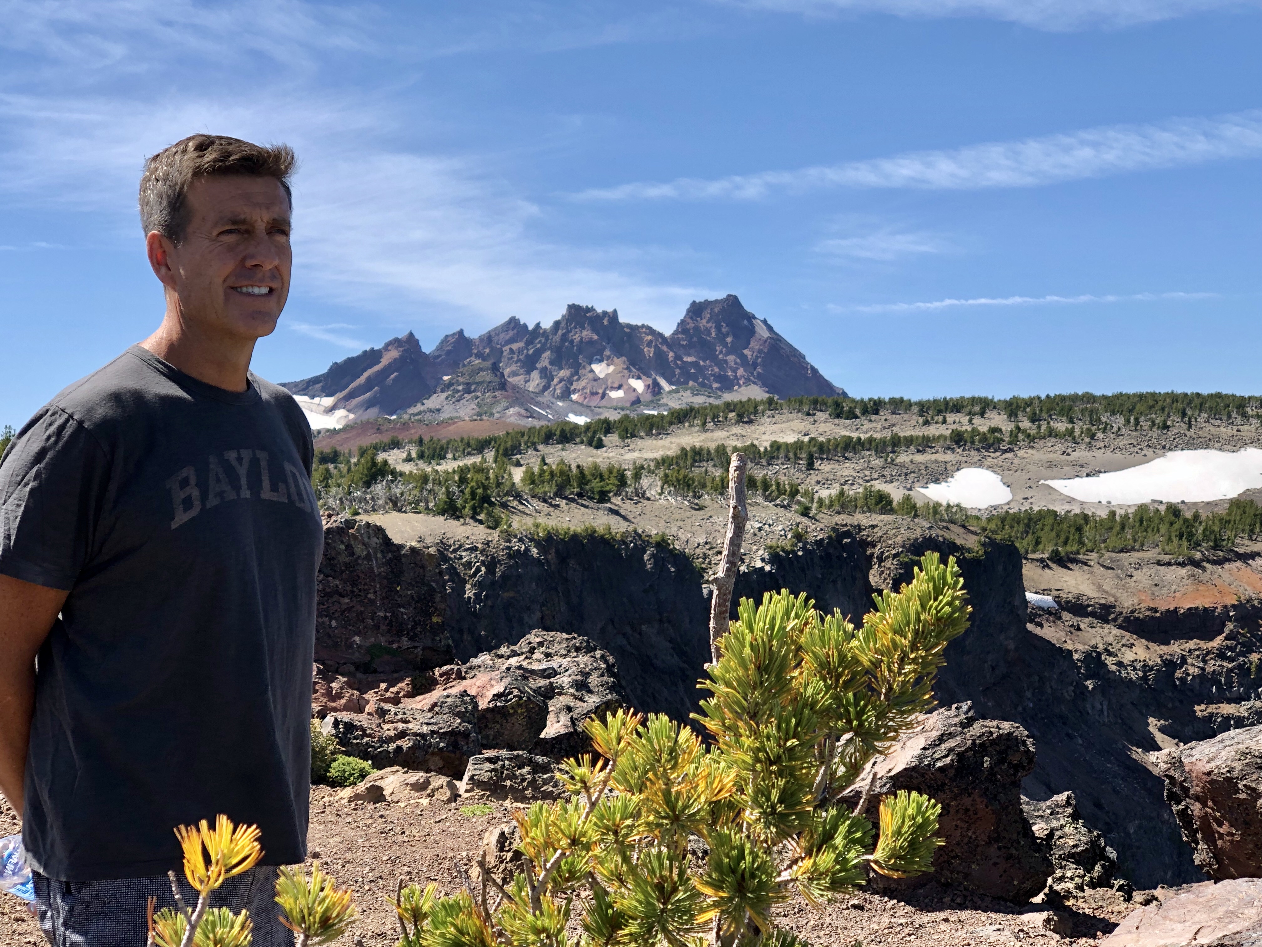
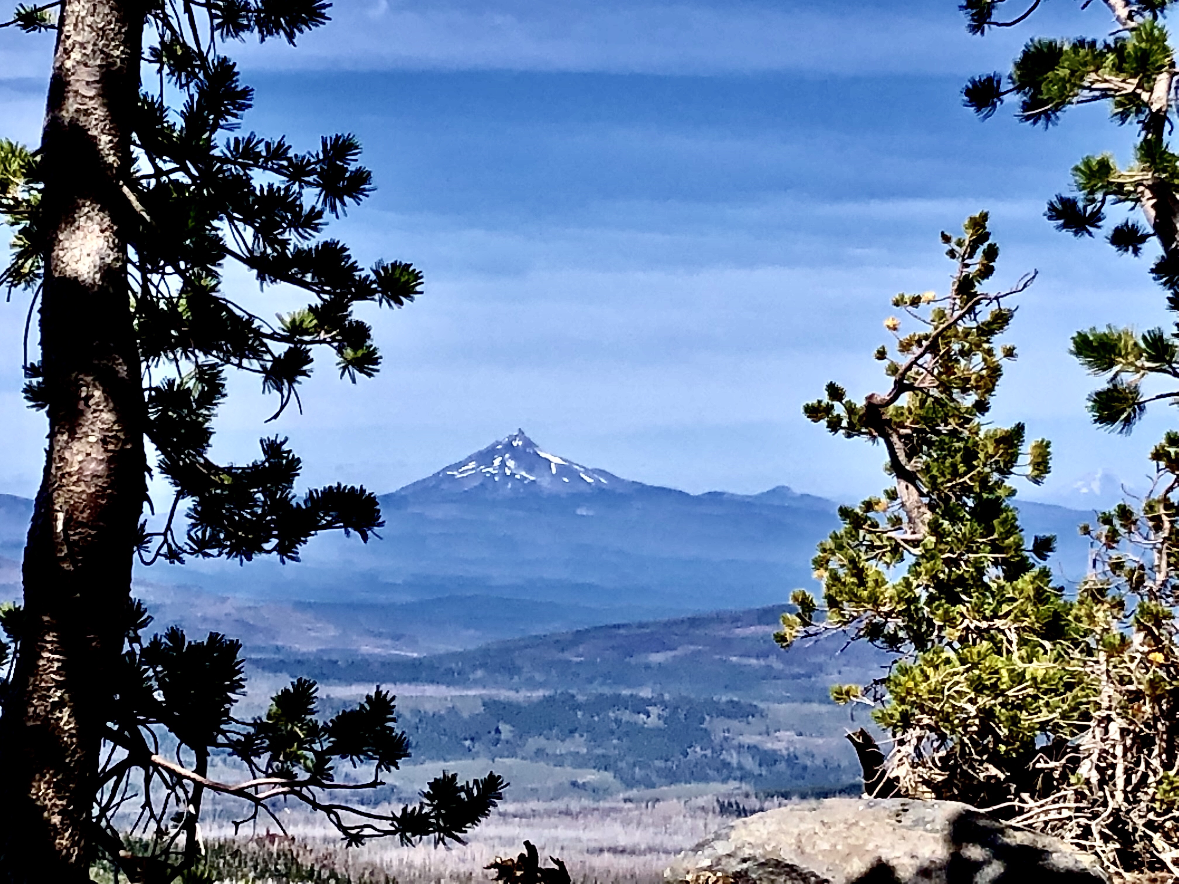
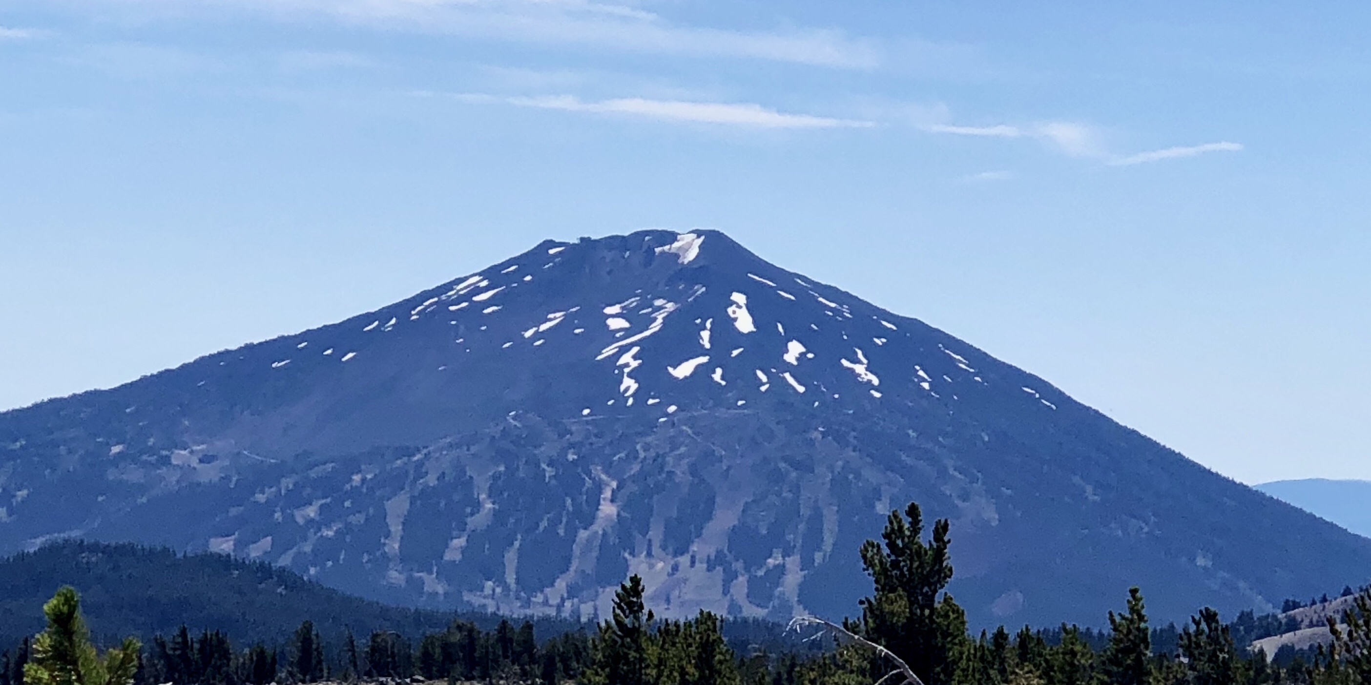
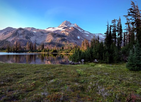
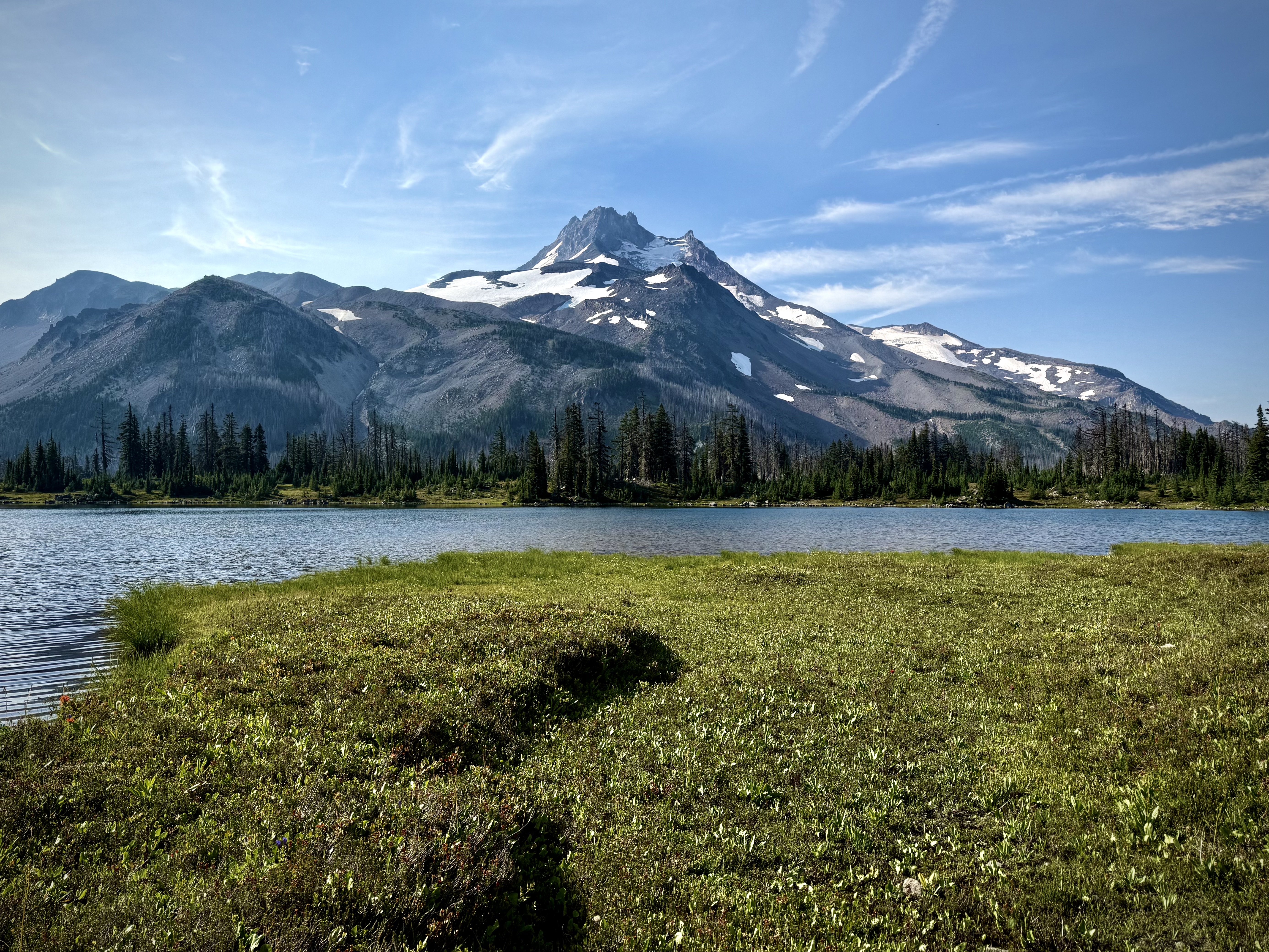
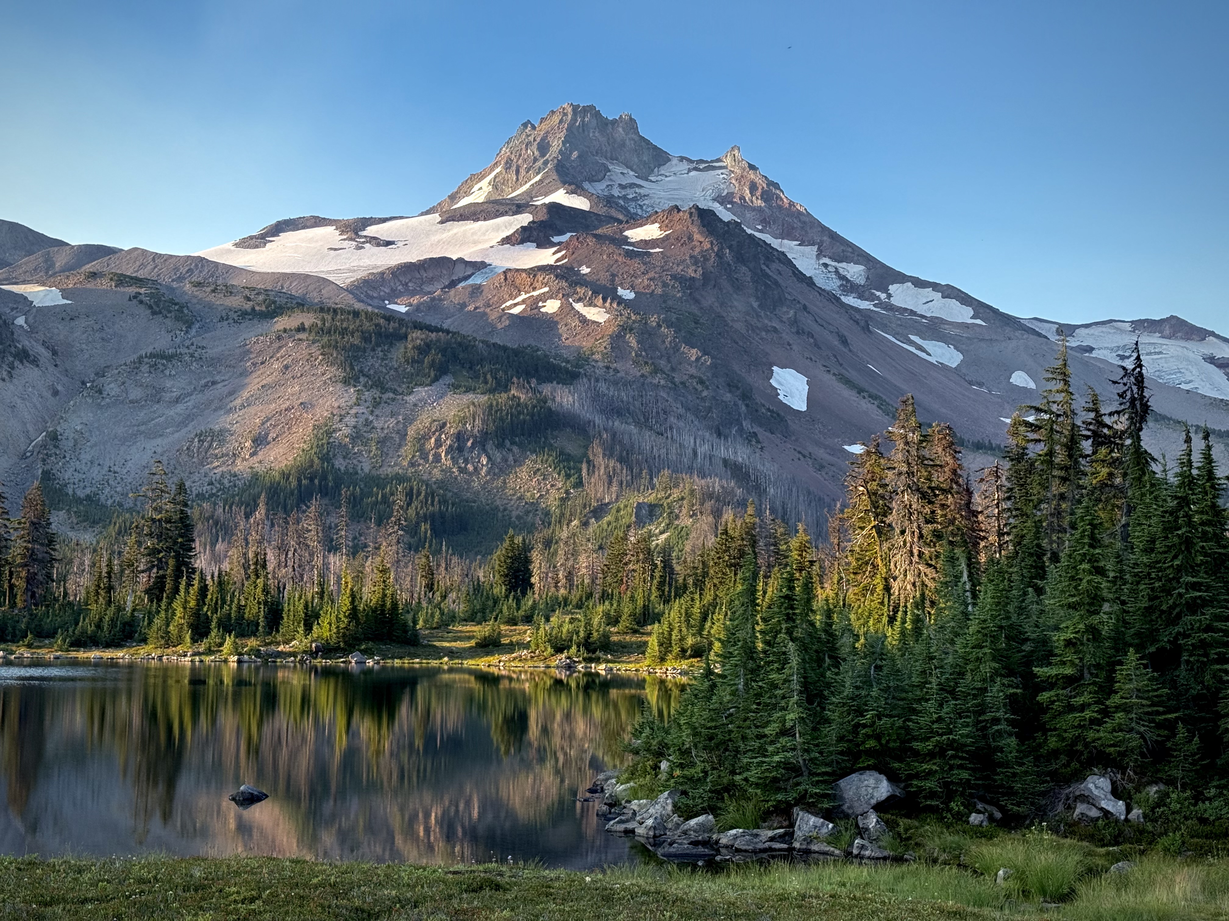
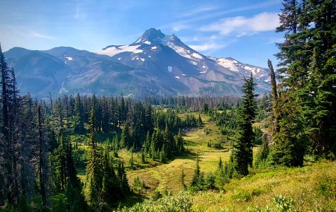
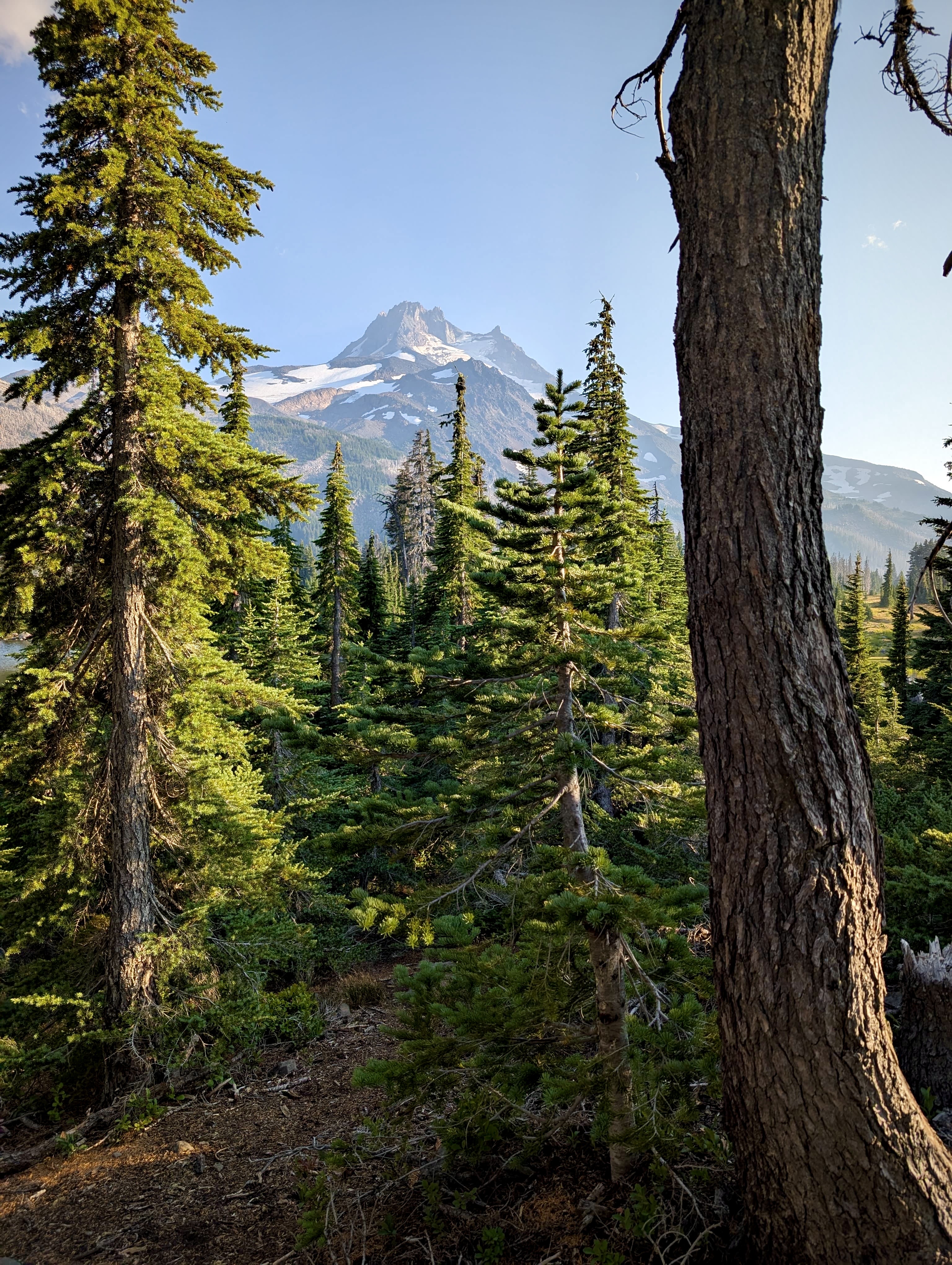
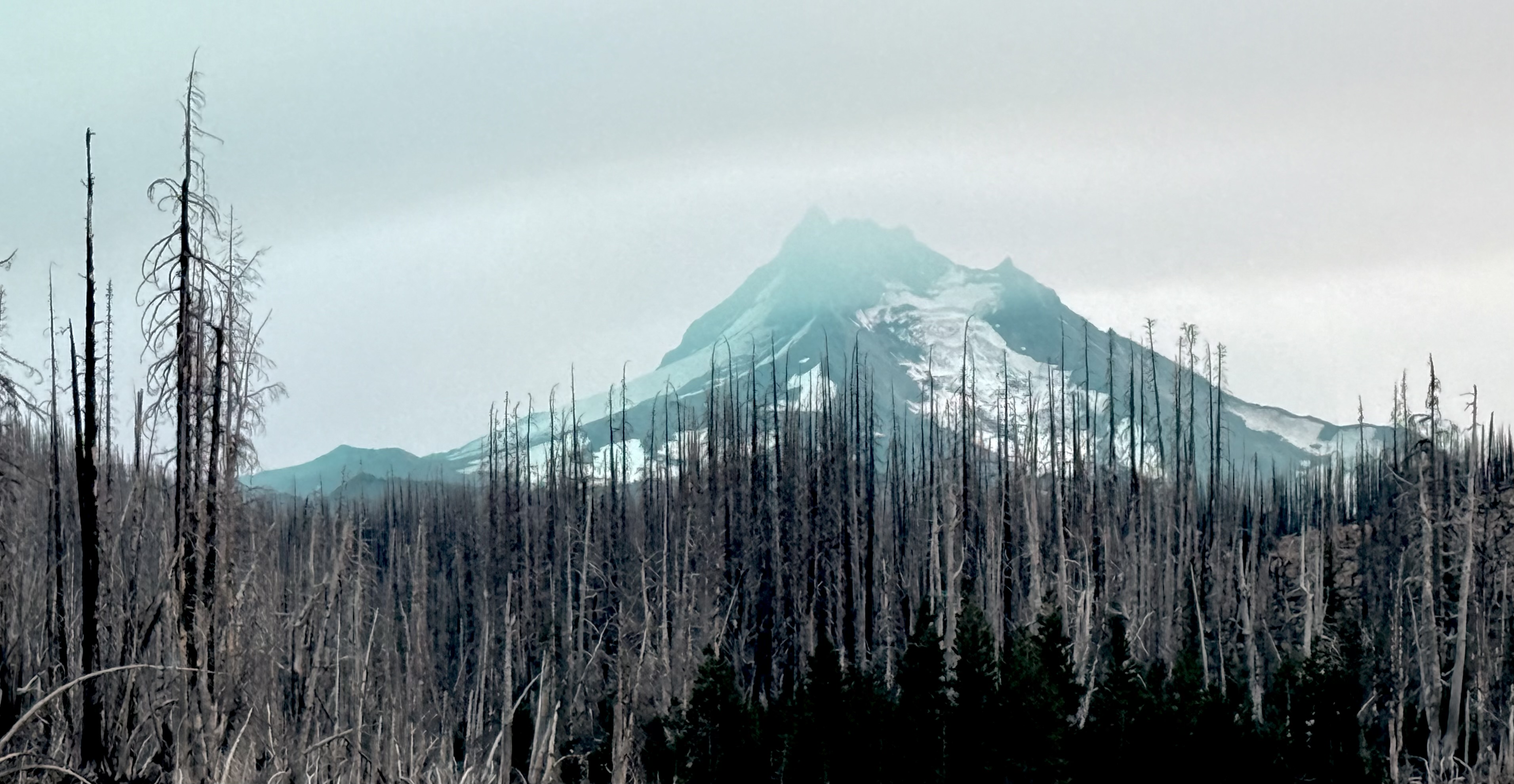
The serenity of Russell Lake, in the shadow of the magnificent Mount Jefferson, made it difficult to move on as Jefferson Park is in a word, idyllic.
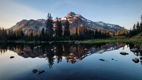
The glaciers on the mountain pick up the soft light of early morning… the still waters of the alpine lake reflecting the regal presence of Mount Jefferson… this place of calm framed by towering firs is a quiet reminder to appreciate the richness of the moment.
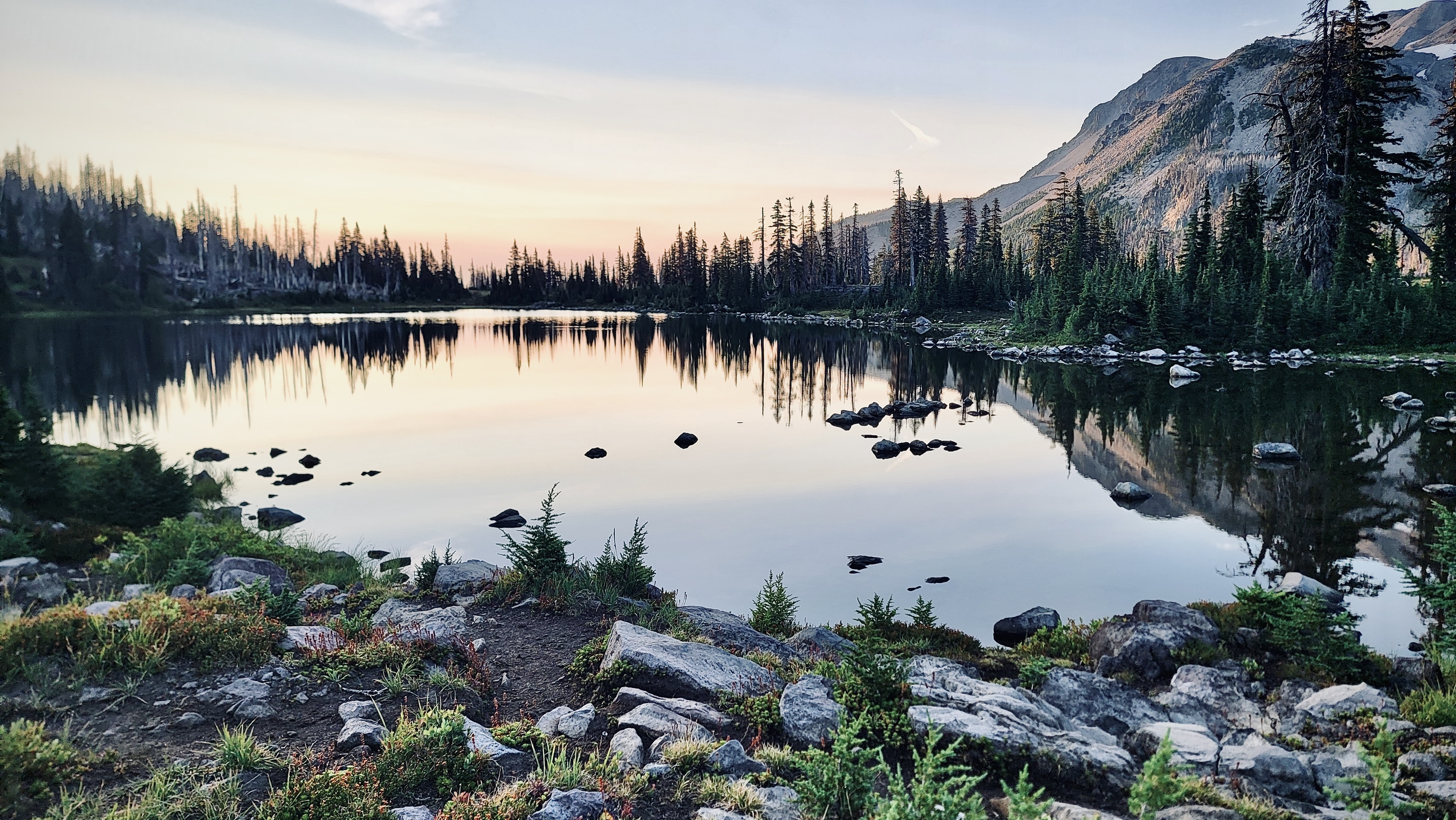
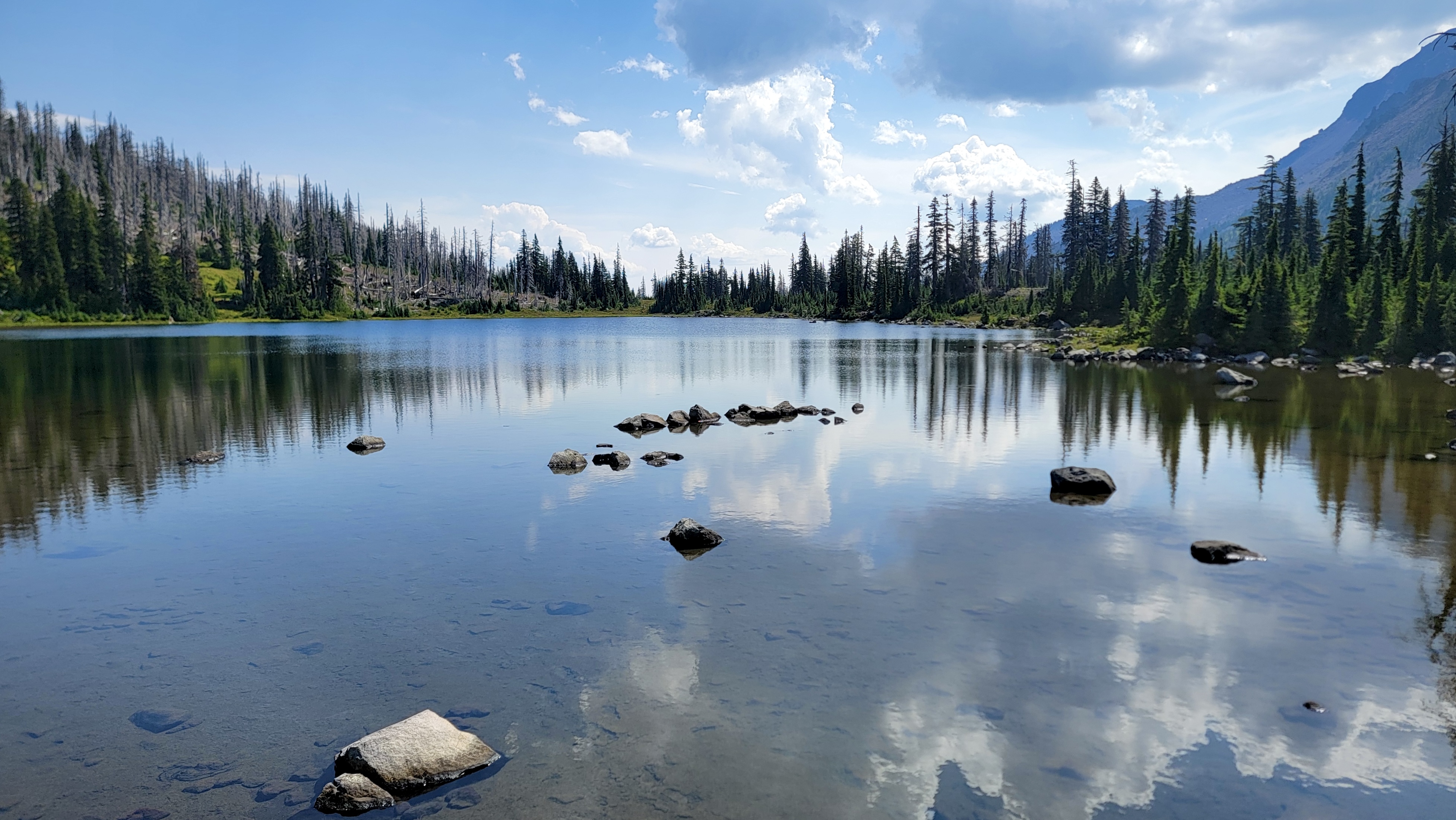
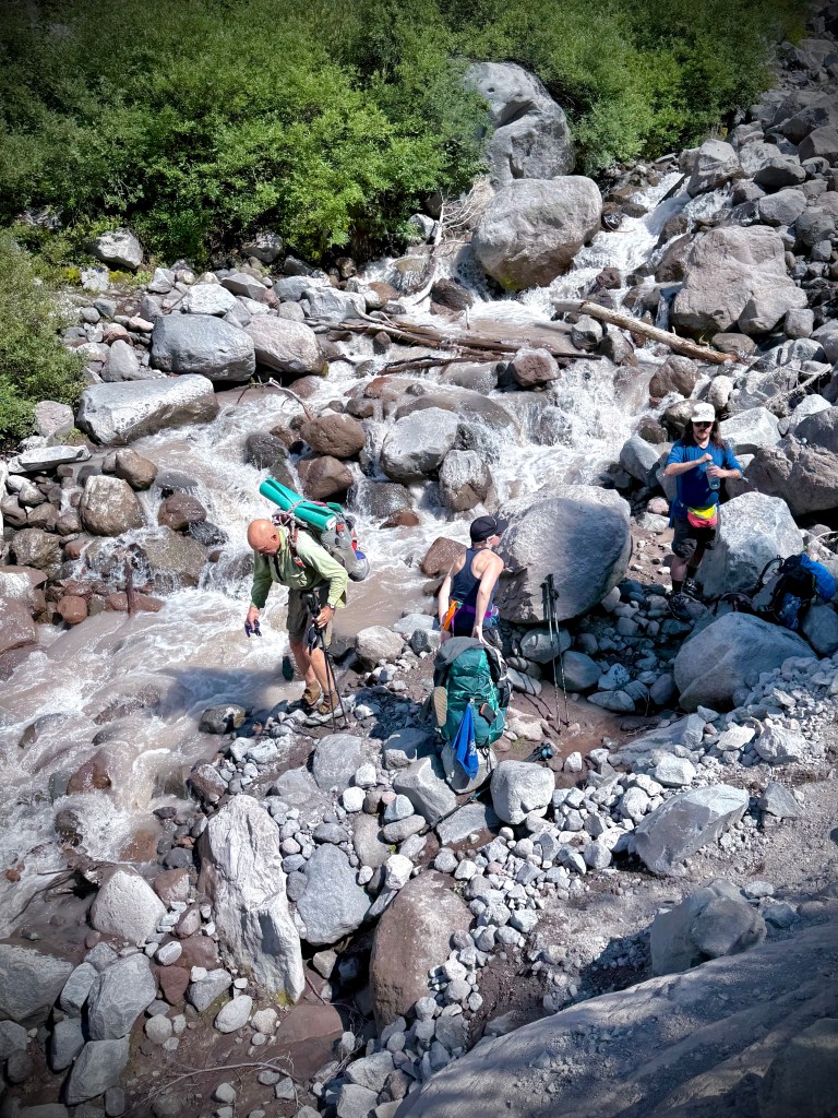
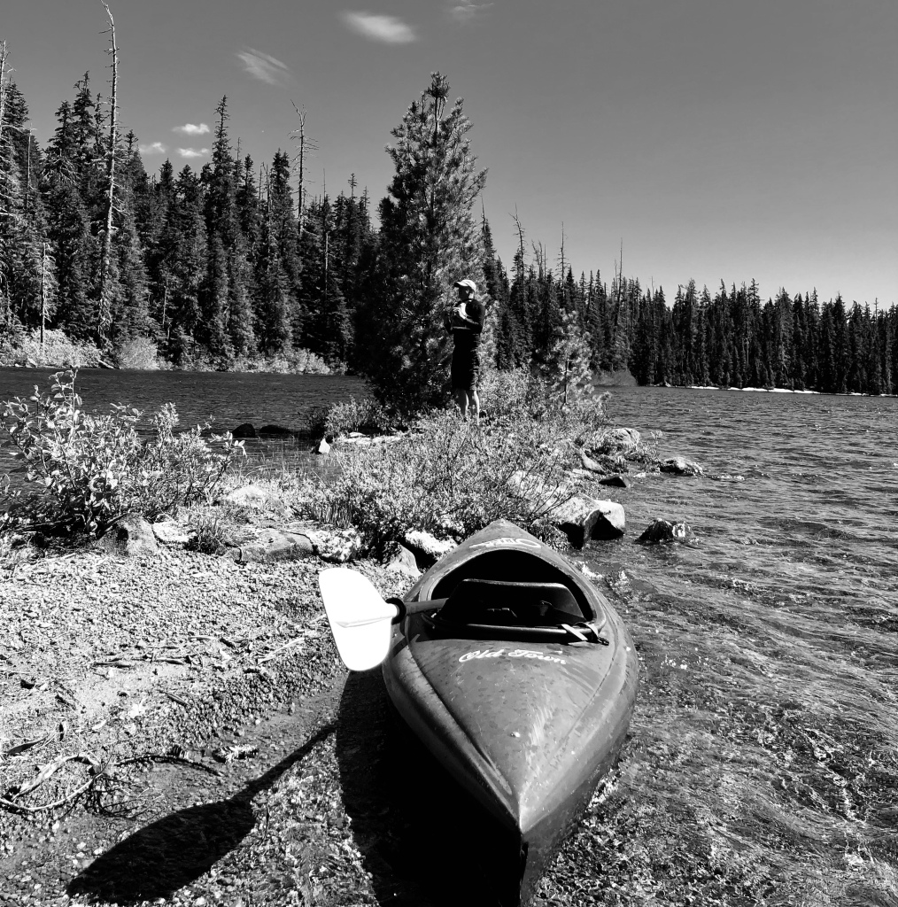
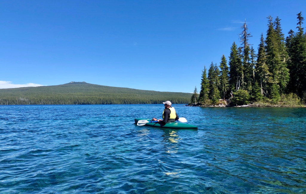
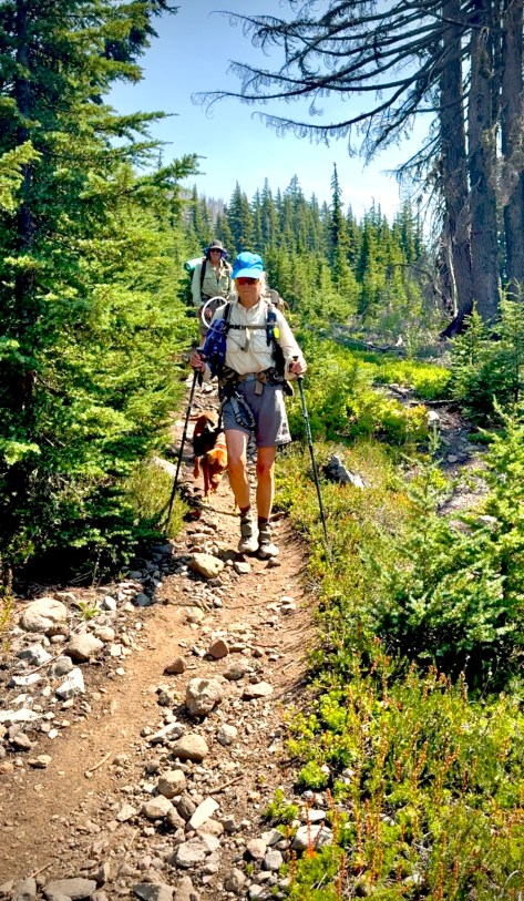
I finished my breakfast while stuffing the last of my equipment into my pack. I watched as Anthony and Katie, who had set out already, took a jaunt around our little lake first. It was such a spectacular day that a side excursion was certainly in order.
I followed suit along a faint trail around Russell Lake that was later lost in a tangle of undergrowth, so I just tramped my way- bushwhacking back to the lakeside bank to finish my walk.

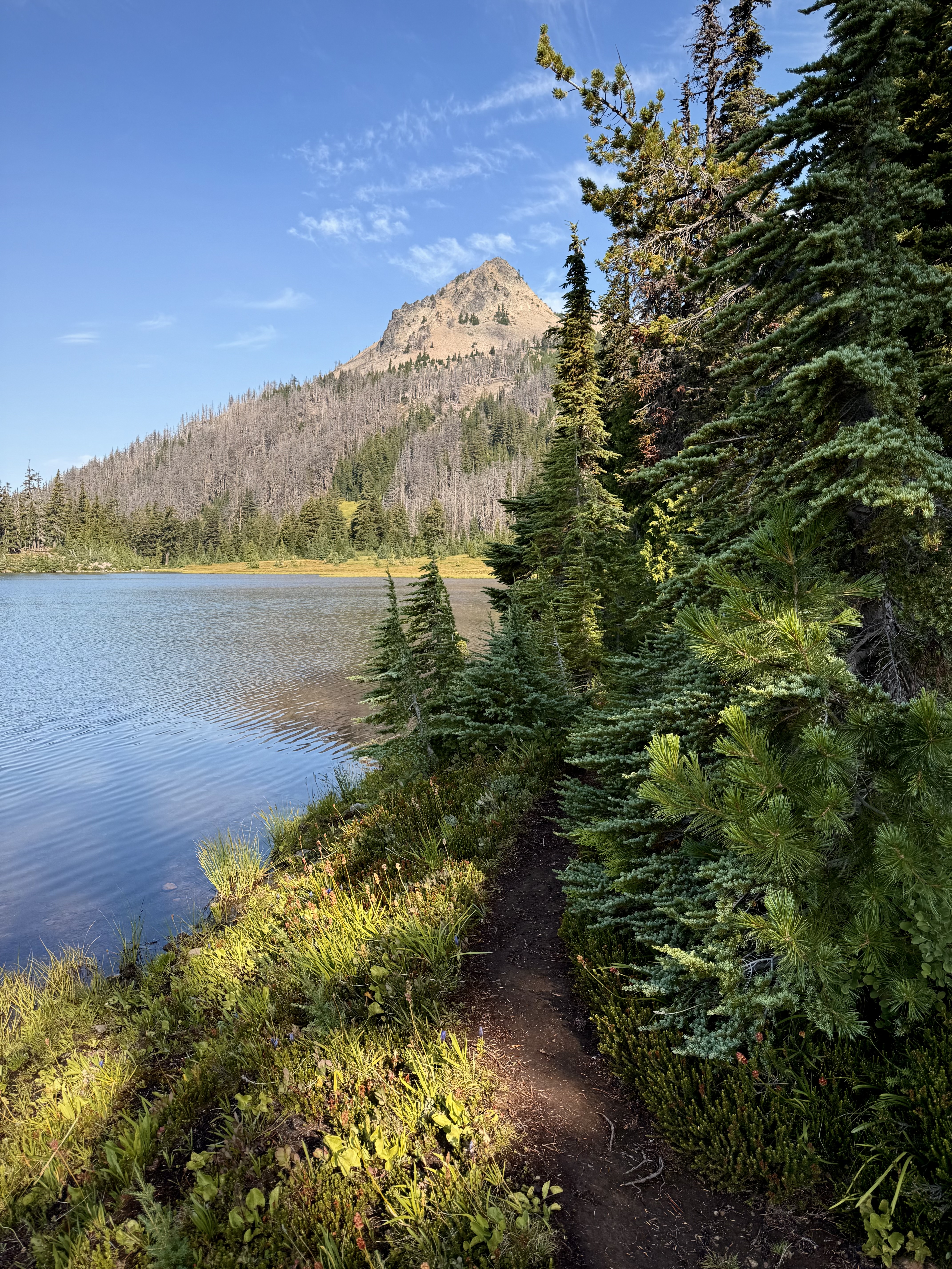
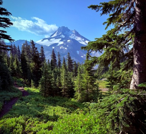
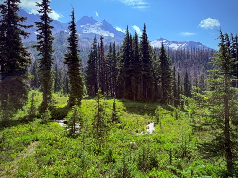
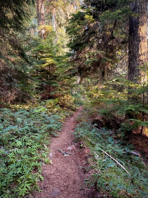
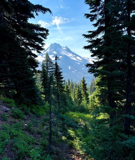
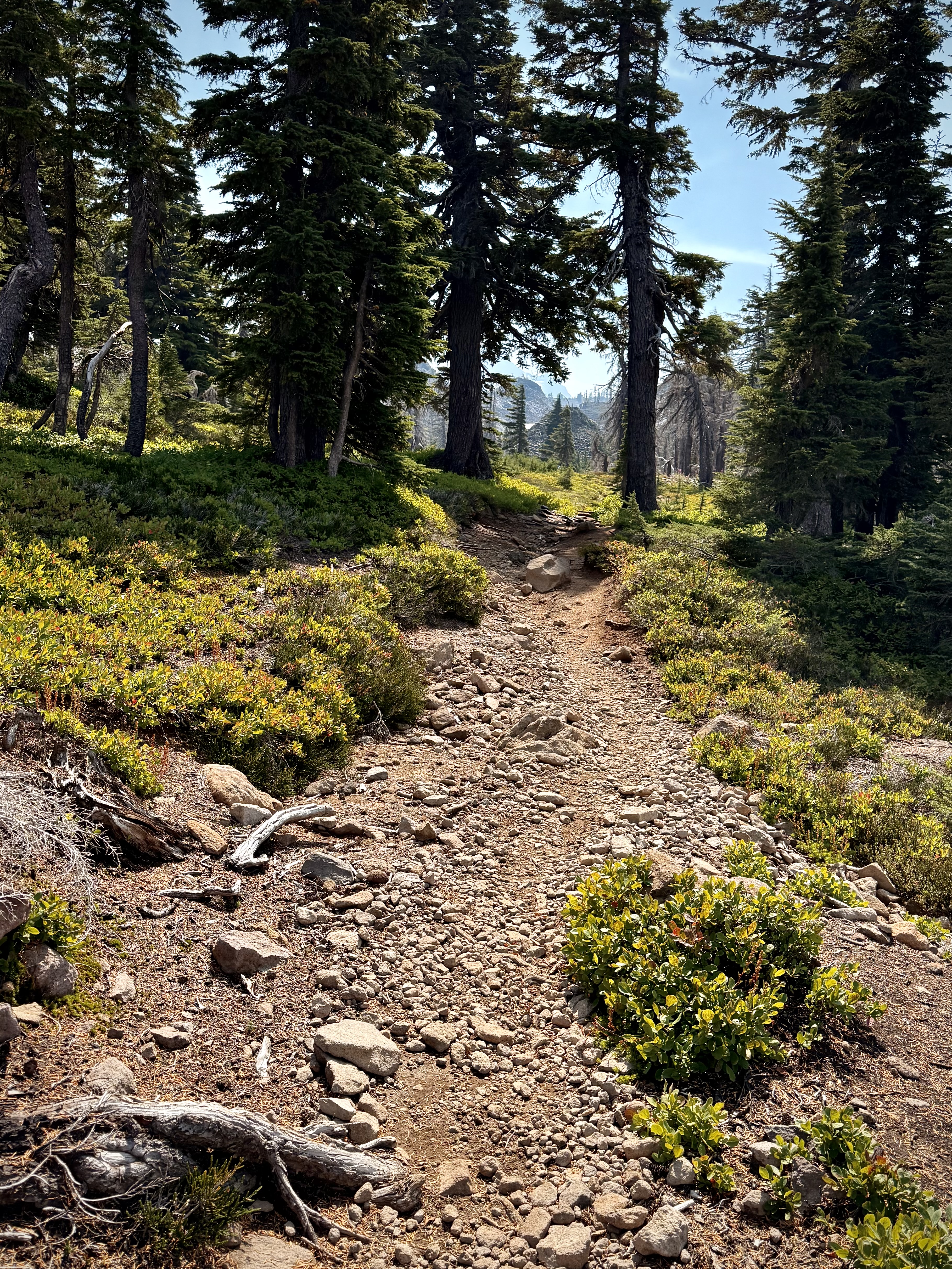
Peggy and Dale were packing up leisurely, enjoying our splendid campsite at the lake, as I headed up the mountain into the dense forest. I celebrated every footfall along the path carpeted in pine needles while serenaded by songbirds.
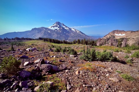
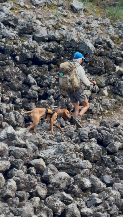
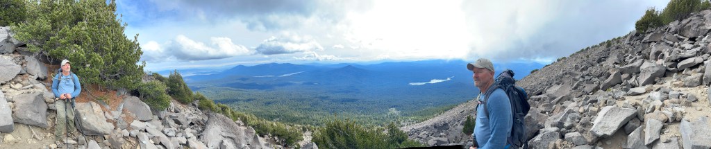
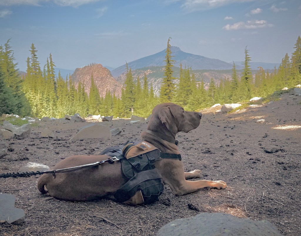
Every so often, through a peekaboo window that the woodland would open up, I could spy Peggy, Dale and their dog Jimi making their way to the foothill of our climb.
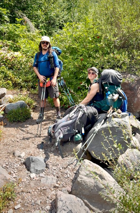
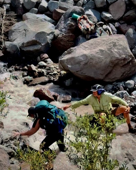
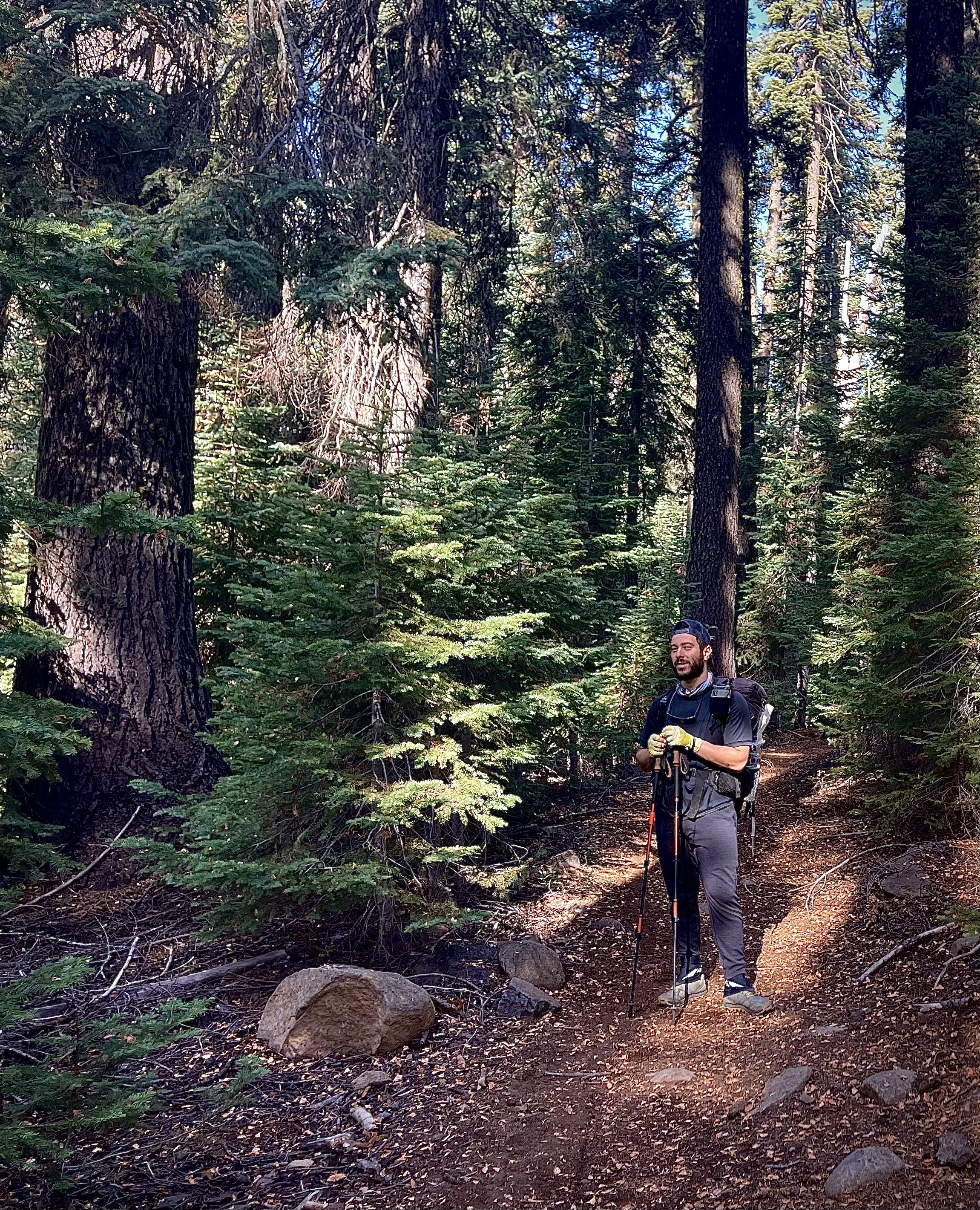
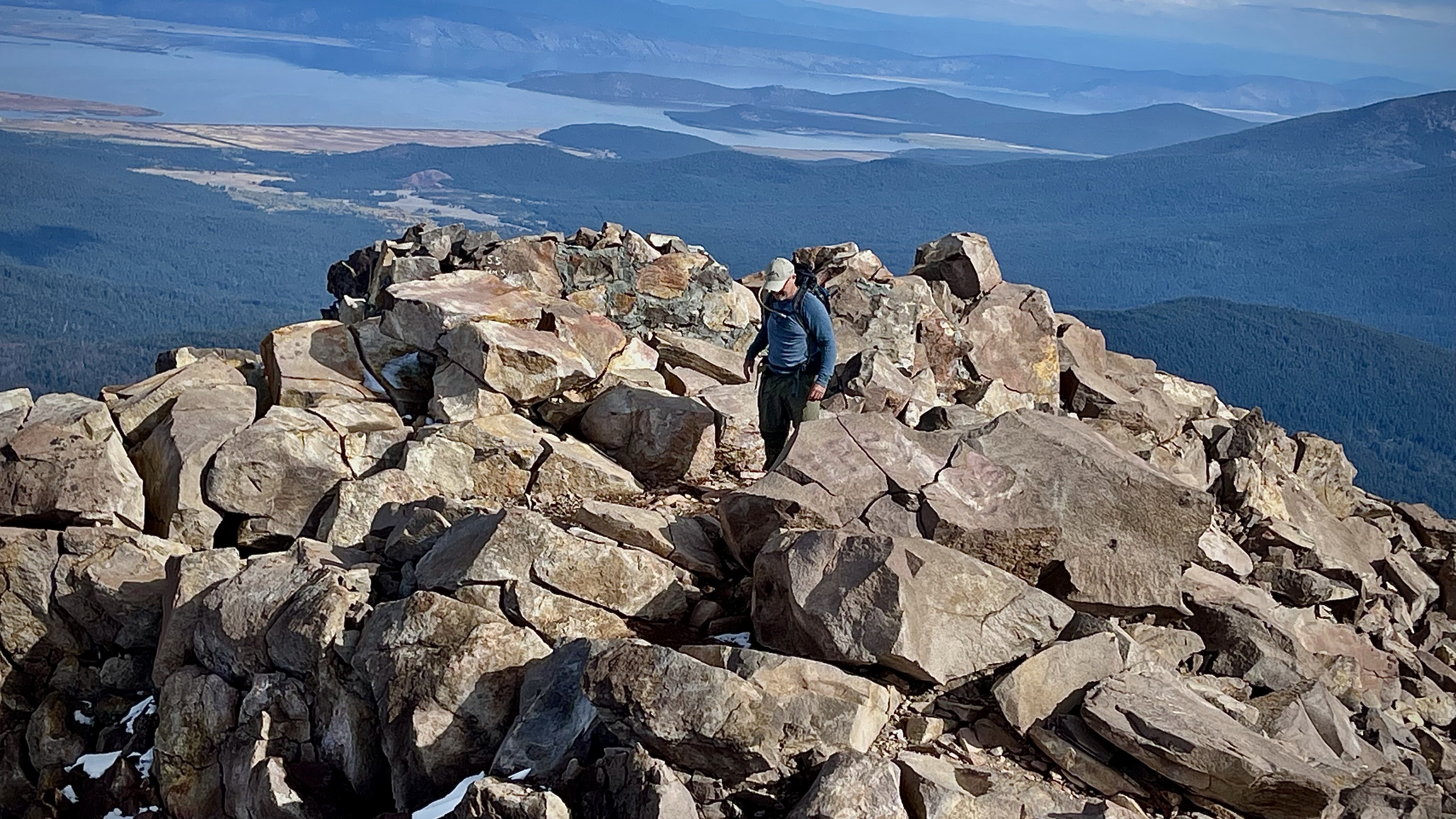
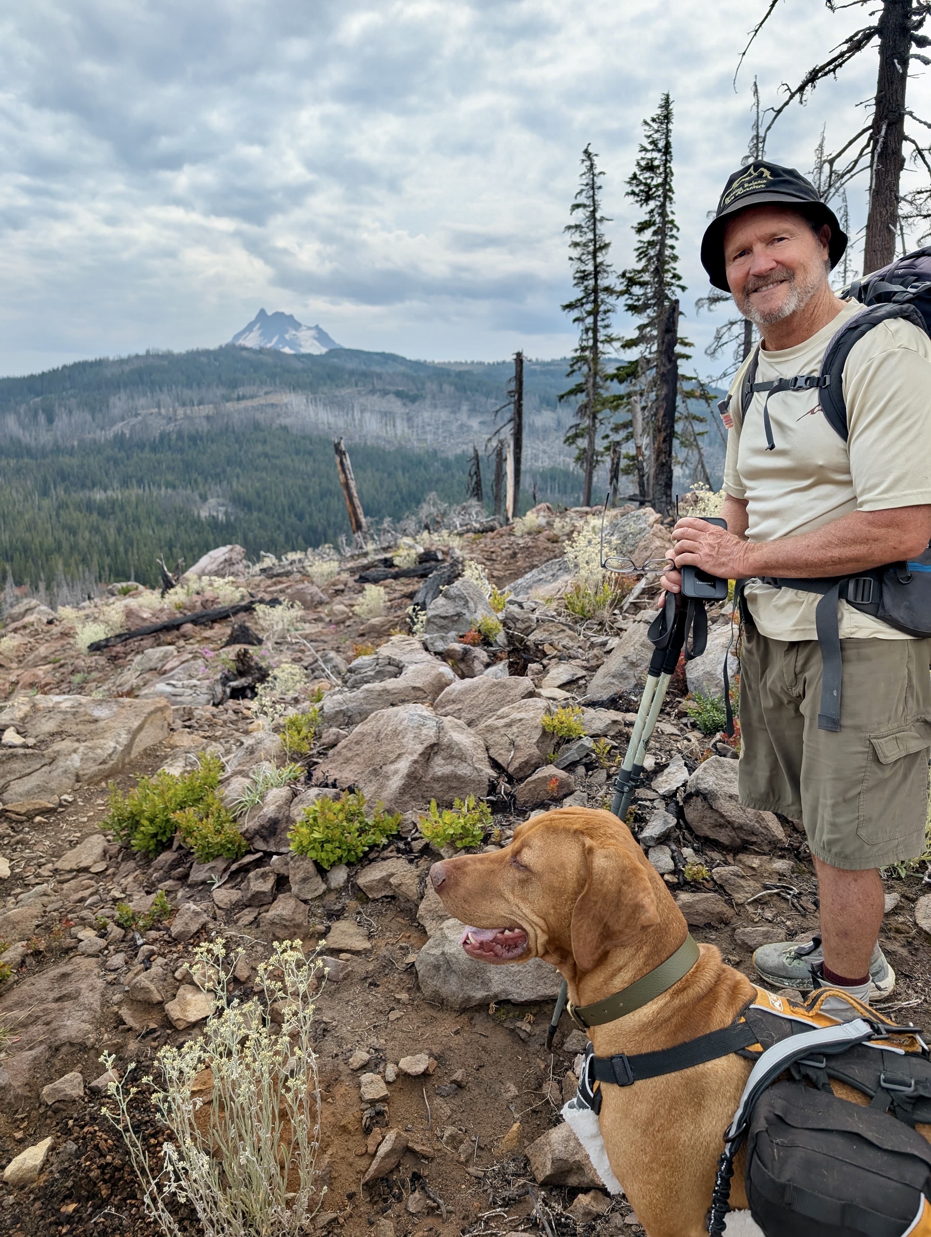
They were making good time and by mid-morning they had overtaken me so we proceeded together. My sister, Peggy confided that she was happy that we were hiking together for several reasons. One, obviously we planned to backpack this adventure to be together and together was more fun- despite that we may hike at a different pace. Two, she didn’t want to have to worry about me. Three, she was still a little apprehensive about her husband Dale since he had suffered the day before and as mentioned previously he had a bad experience on Mount Hood the year before. As it turned out her concern wasn’t without foundation.
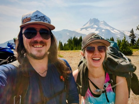
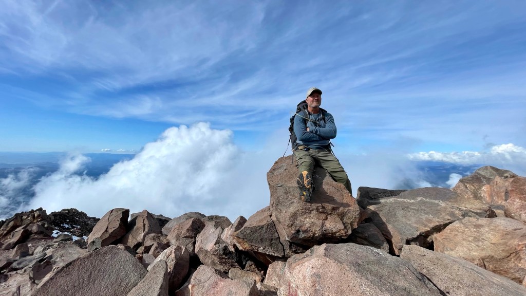
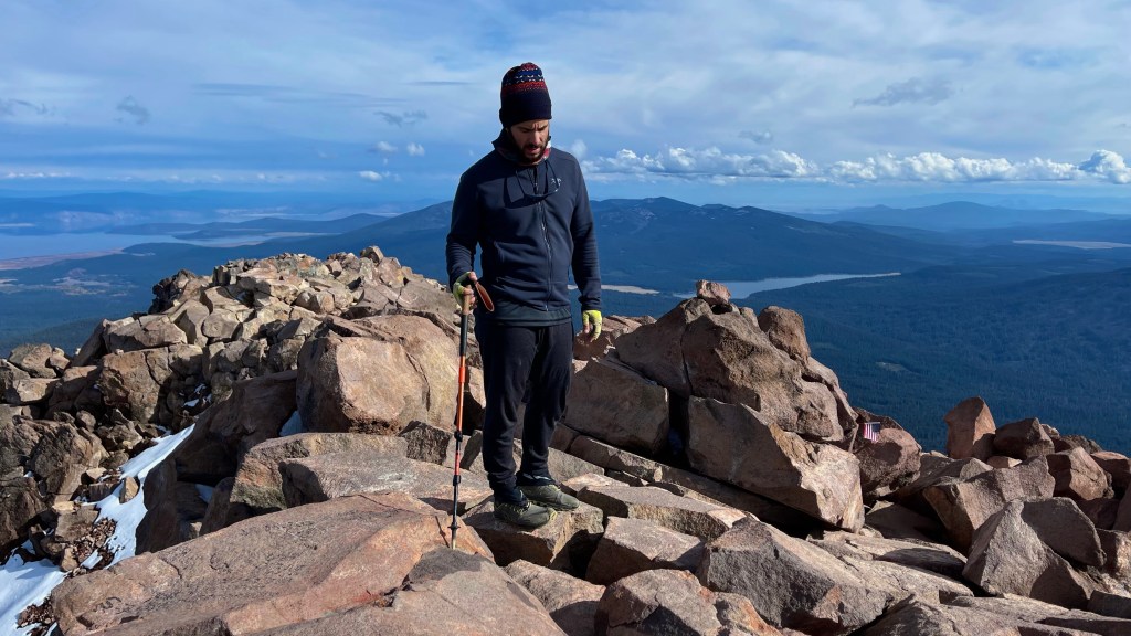
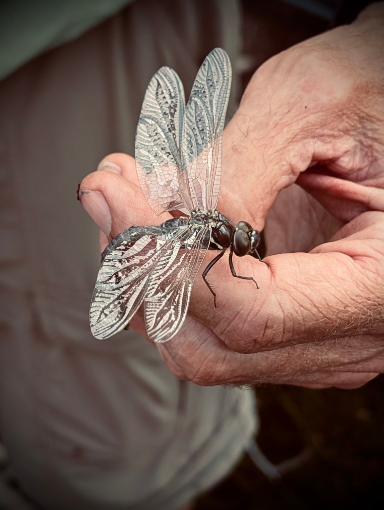
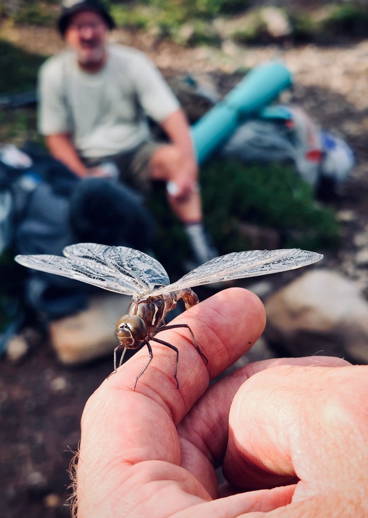
Photo complements of Anthony E. King Photography
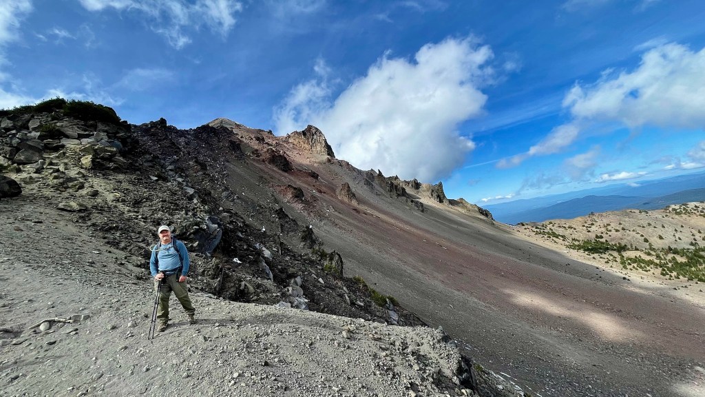
Dale, now 70, was about to learn that he was no longer Superman at least as far as the latter part of epic backpacking adventure. Just like the year before on the Timberline Trail he learned a lesson. The lesson being- during the latter days of trudging through the wilderness with a pack, especially during the second half of the day, exertion fatigue would for evermore proved taxing on him.

I was feeling good. It was only the first couple days climbing the mountain with heavy pack that I was feeling the plague of weariness. Of course admittedly we had now slowed our pace and were taking frequent breaks since Dale was not welling well.

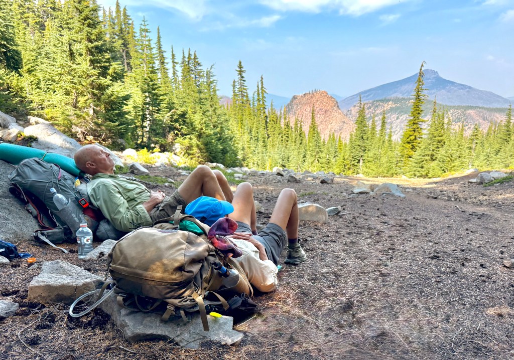
So, I certainly was not being pushed and now the pace was certainly a lot slower than I would have set if I was alone. I was still a bit concerned because seeing Dale struggle was something that I had not been accustomed to. But by slowing our pace and taking lots of breaks Dale was able to endure.

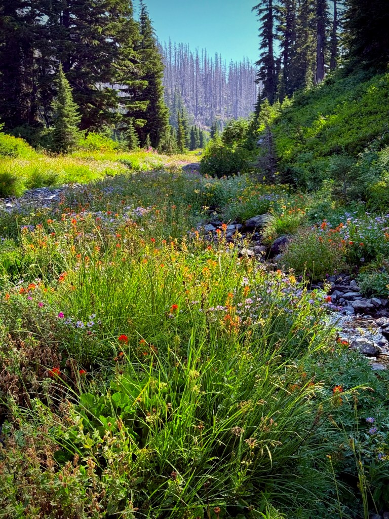
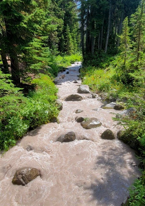
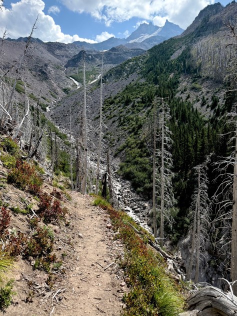
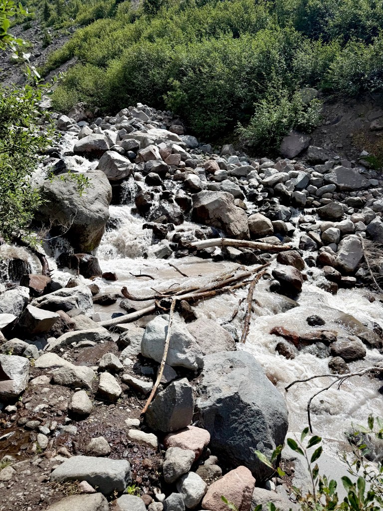
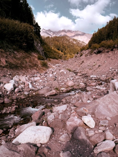
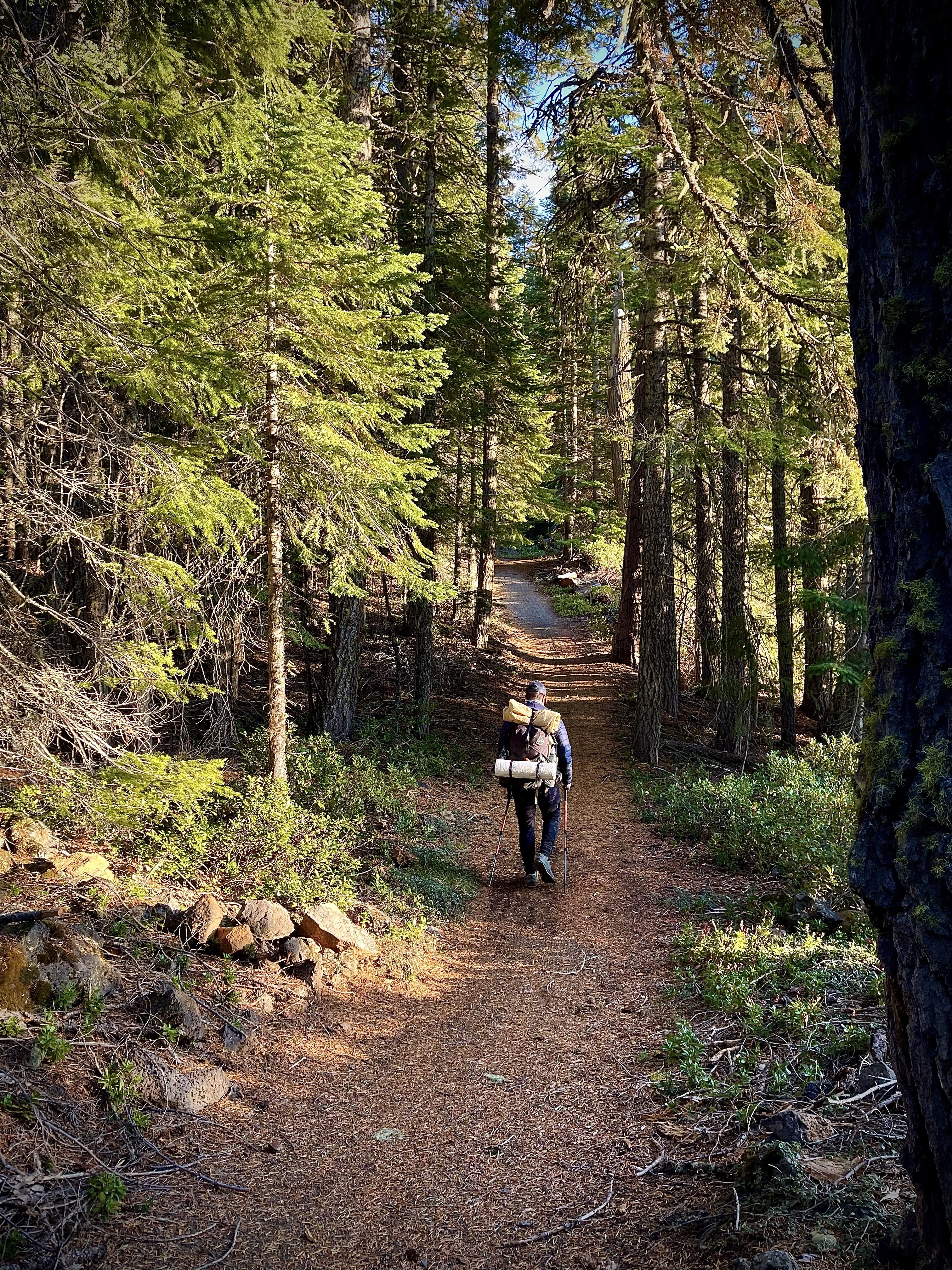
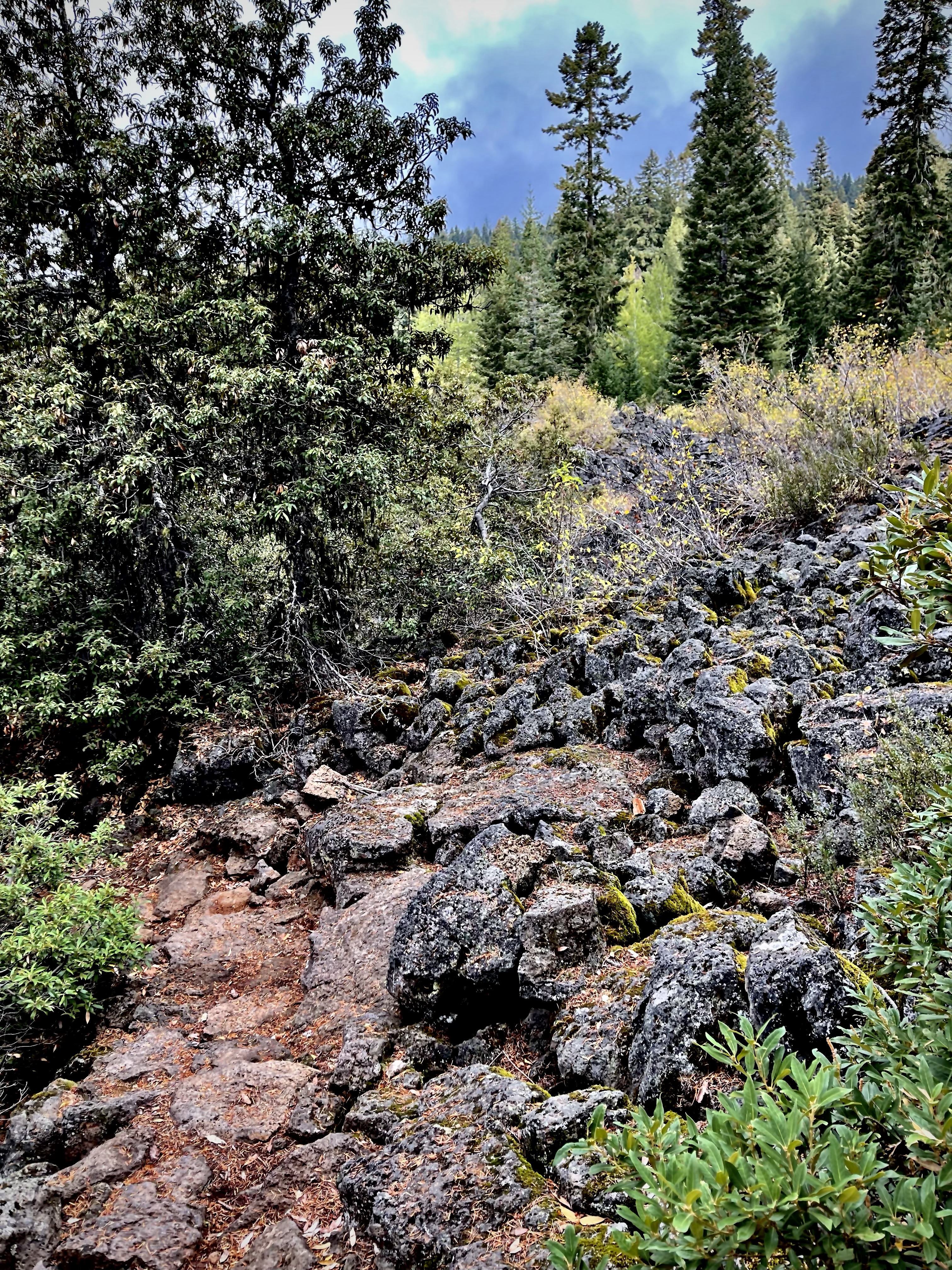
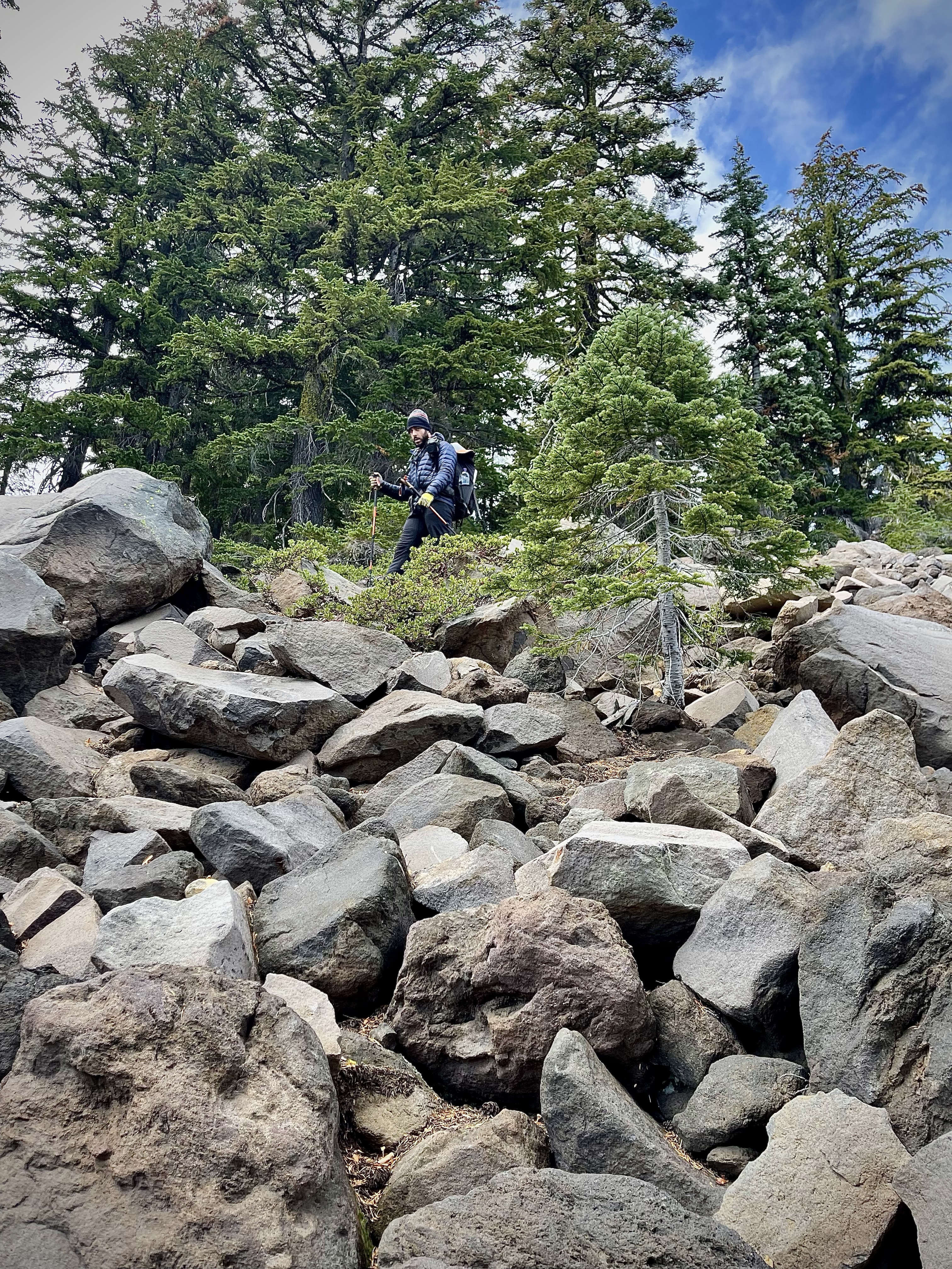
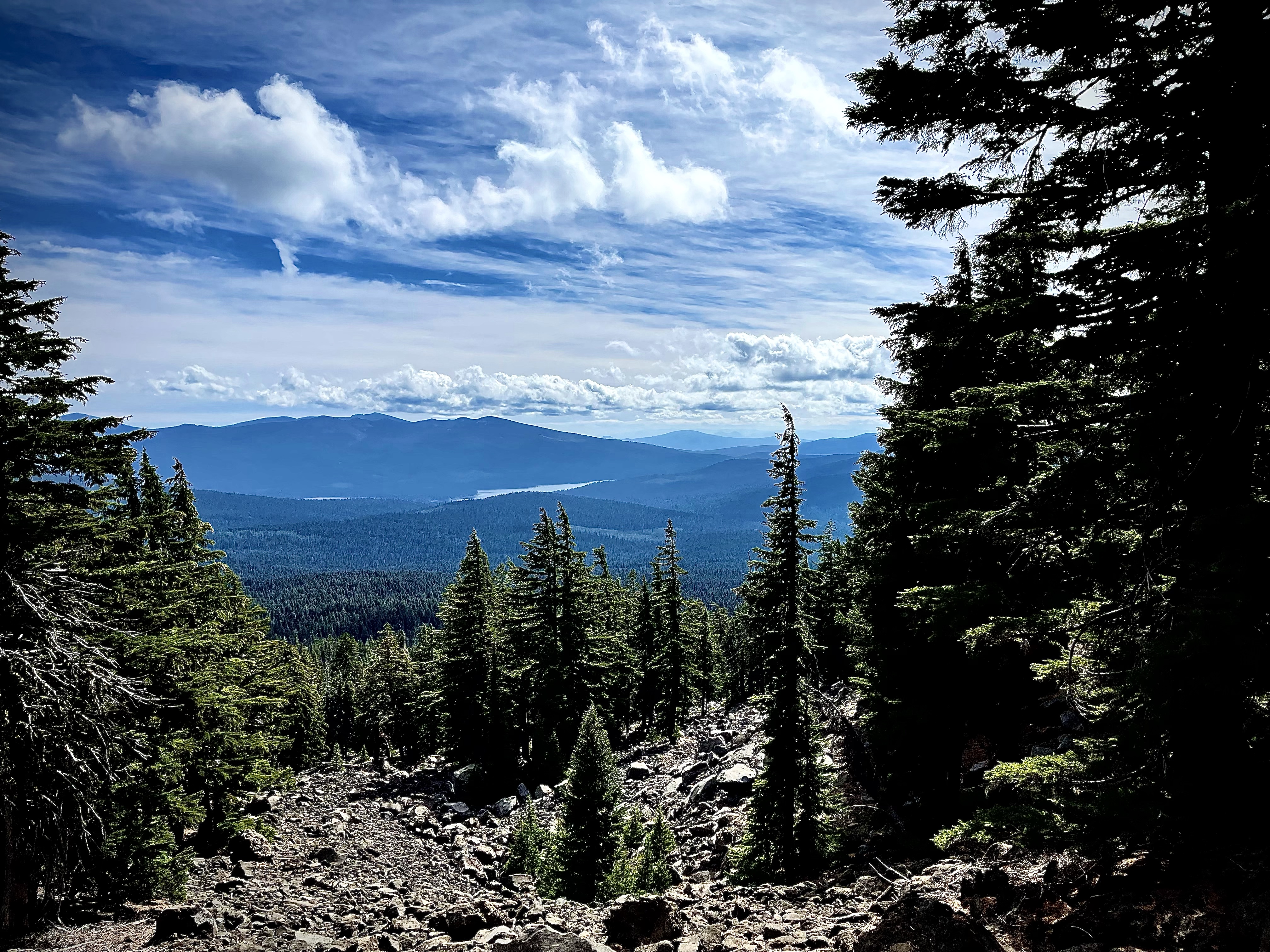
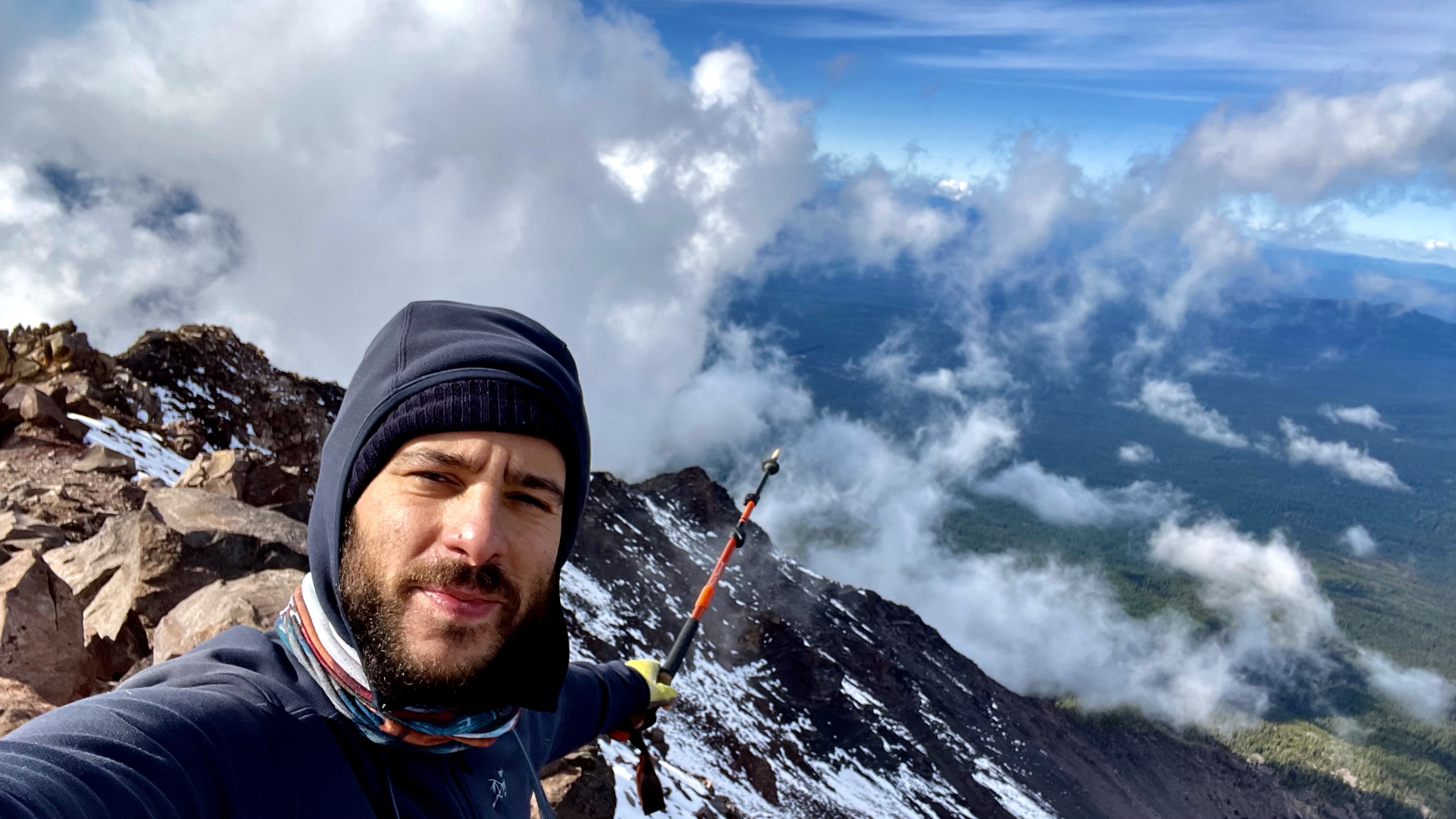
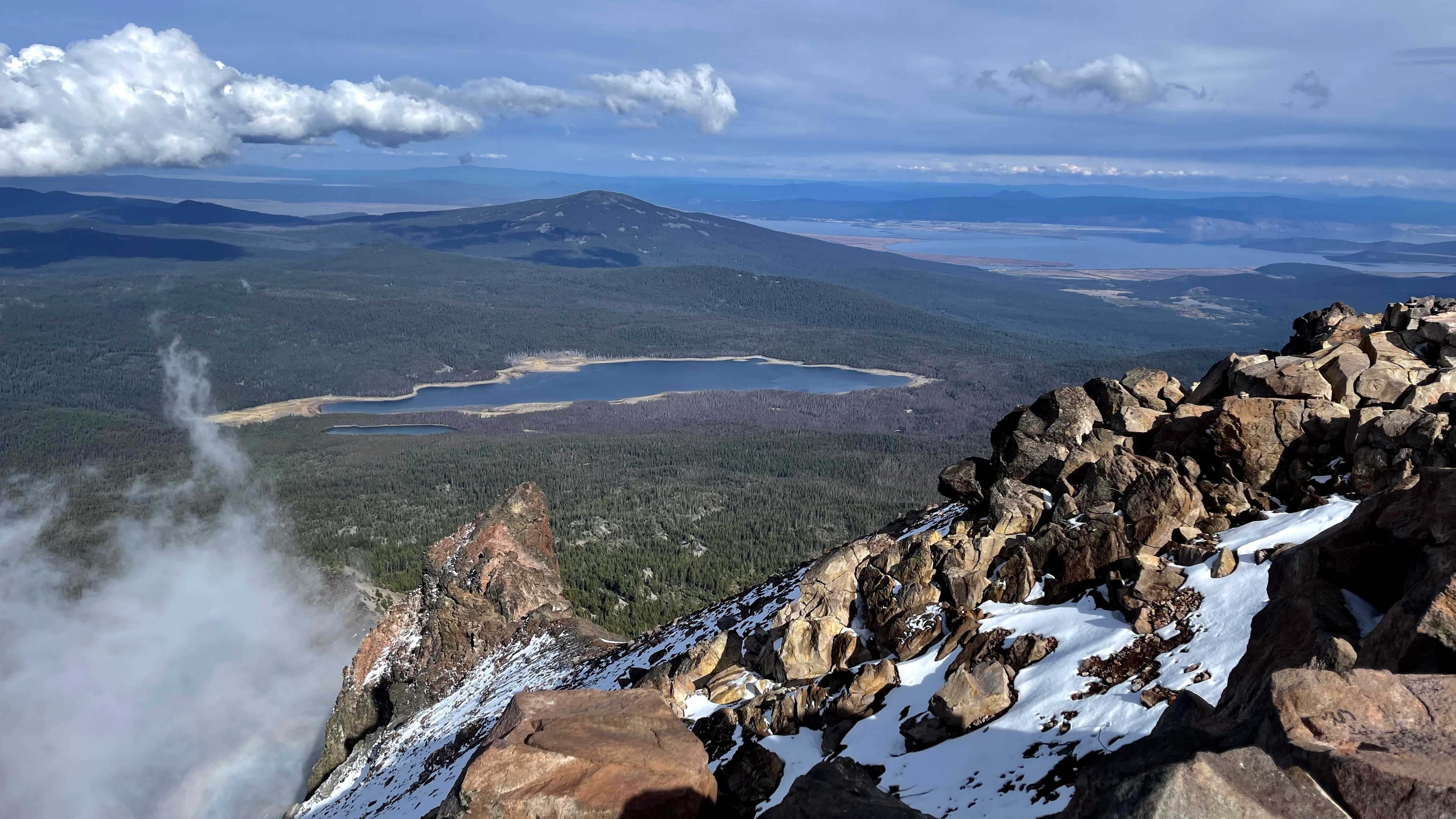
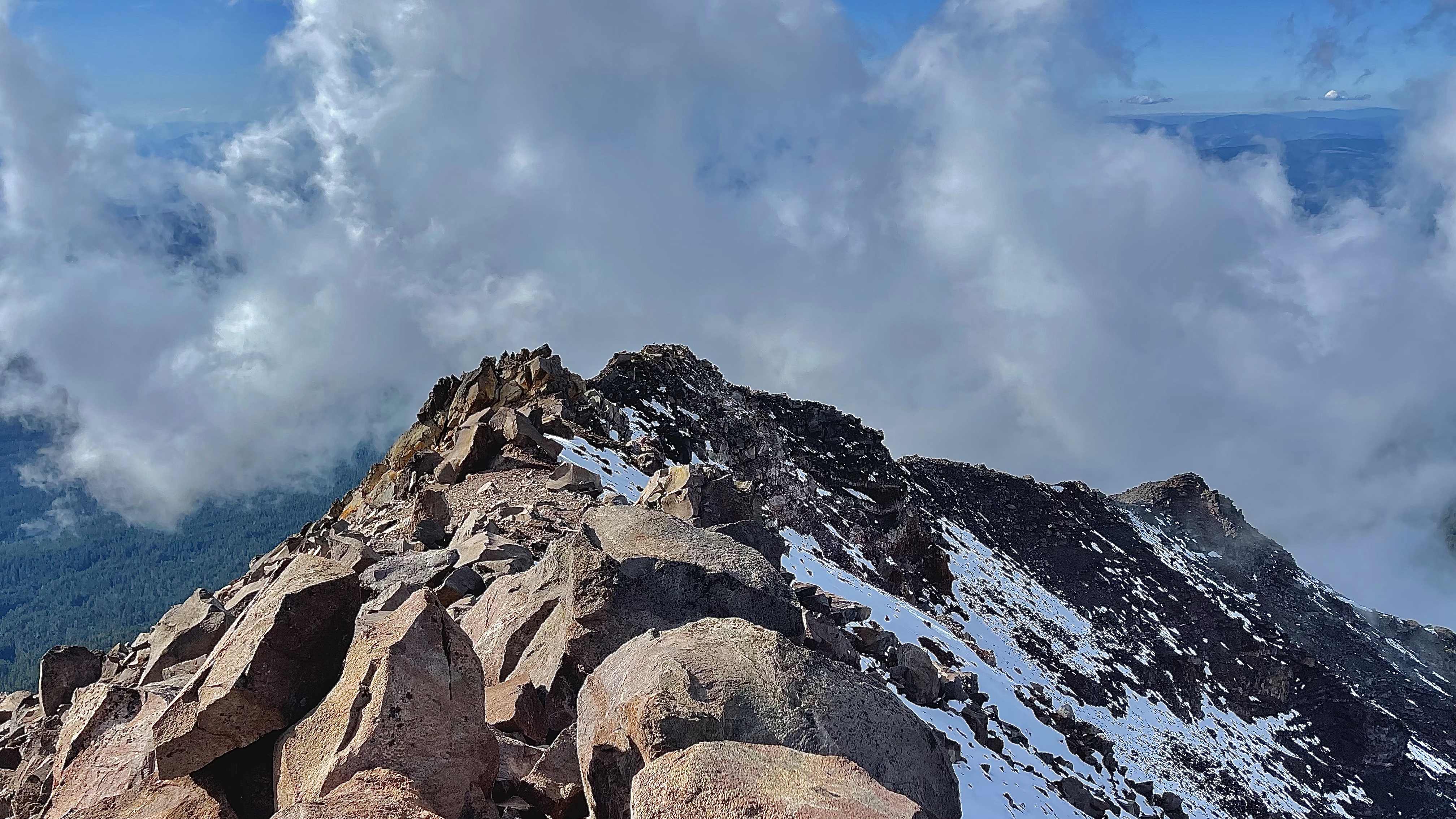
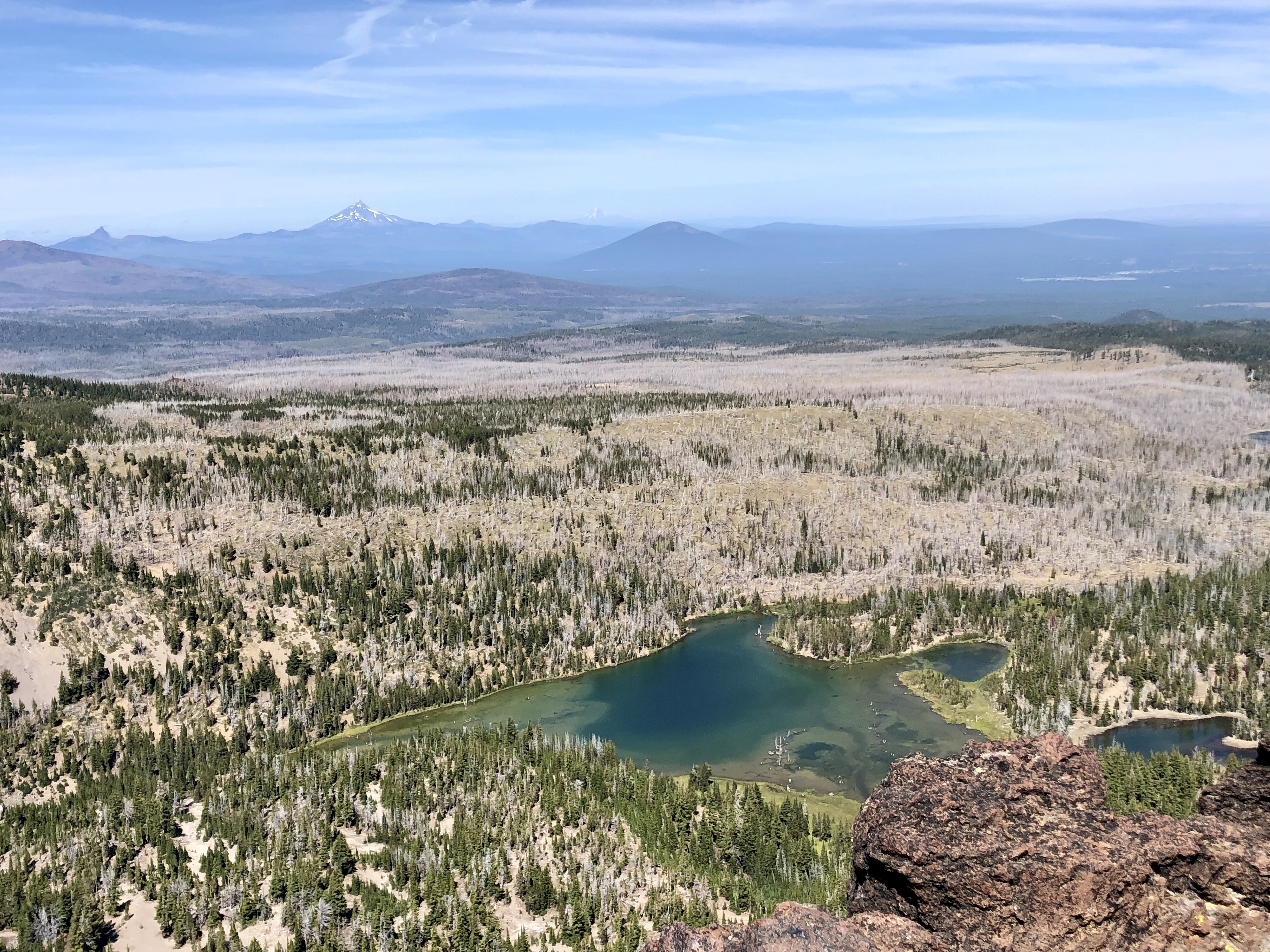
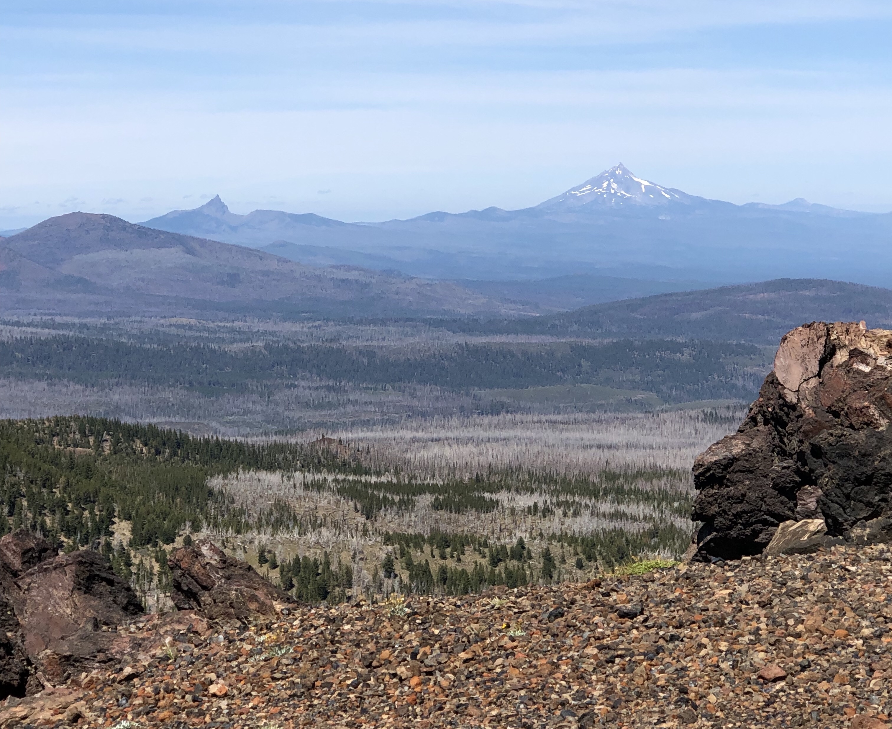
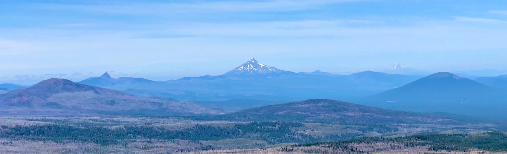
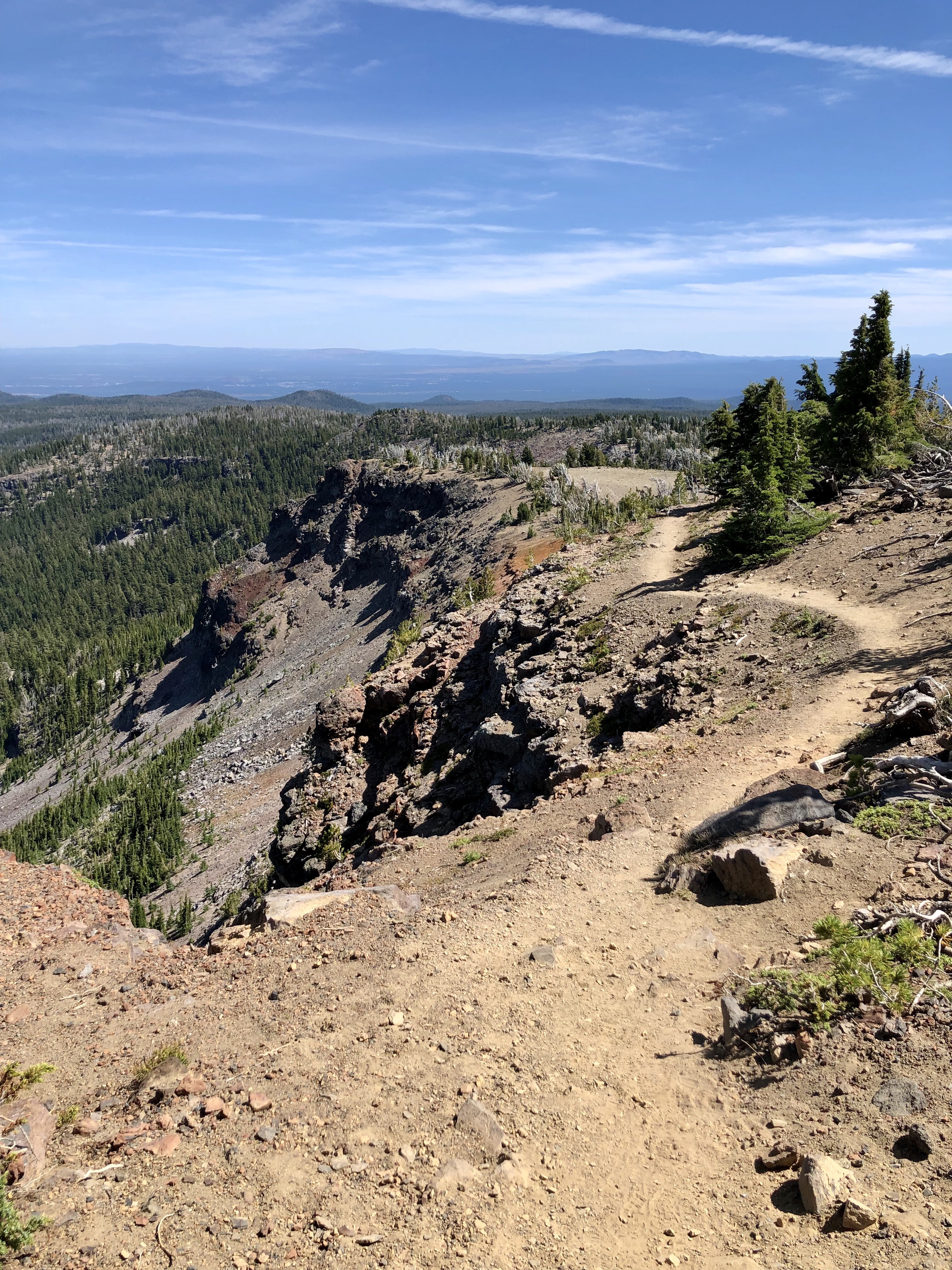
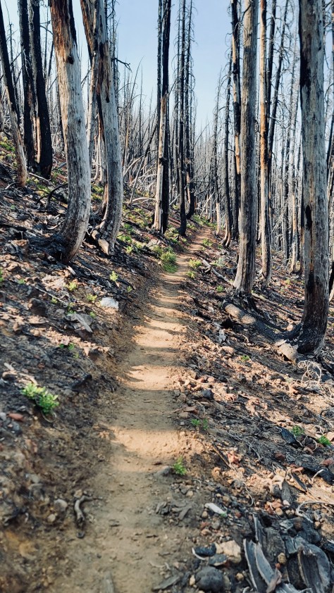
This day was another Beauty and the Beast regarding the dichotomy from the most alluring and stunning environment to the chard trunks of wildfire devastation. Everything everywhere just blackened truly a Land of the Lost. So utterly sad and dismal.
We could have hiked out on this day and I believe even though it would have been long and difficult that is what I would have preferred. I wanted to leave this wildfire Hell.
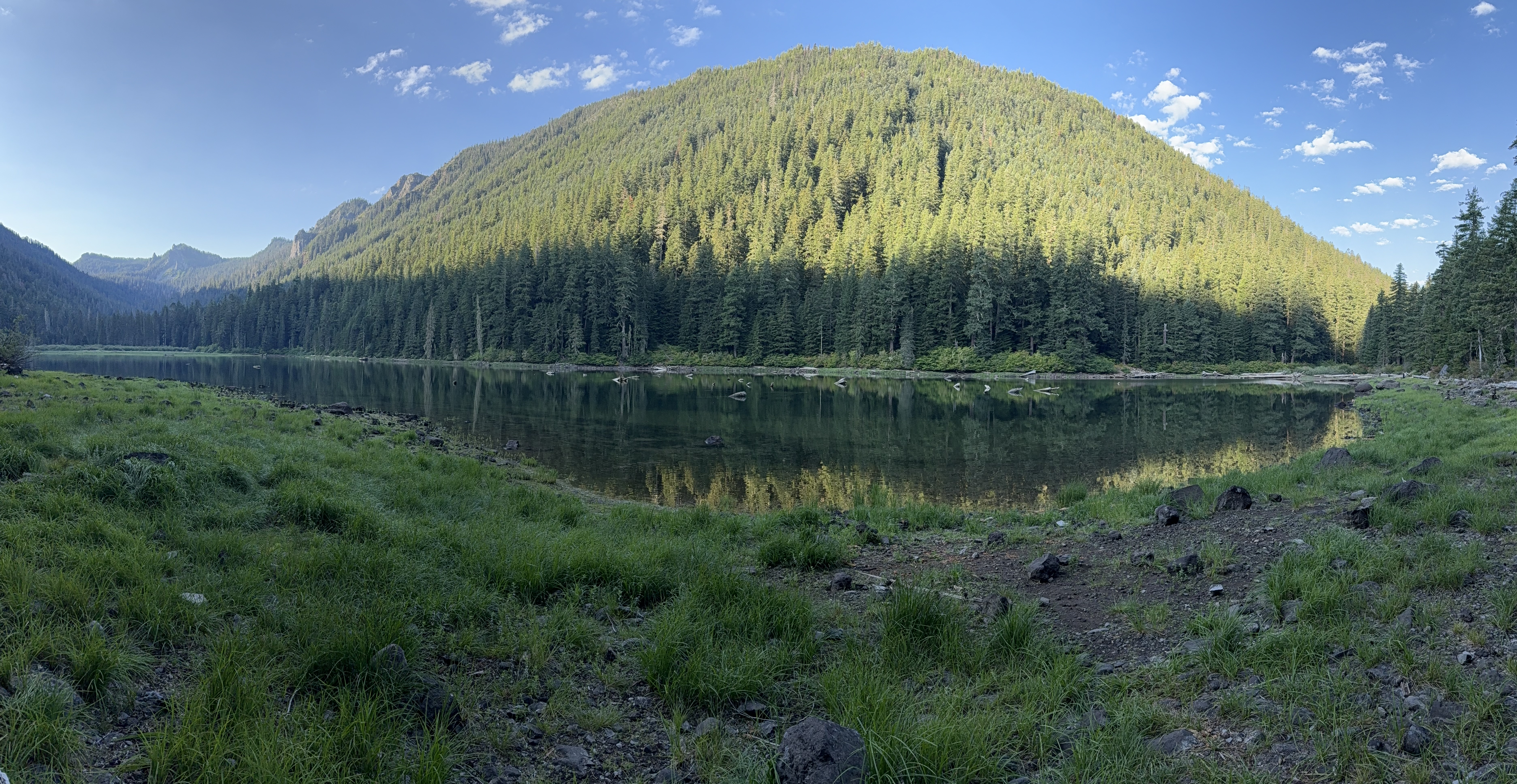
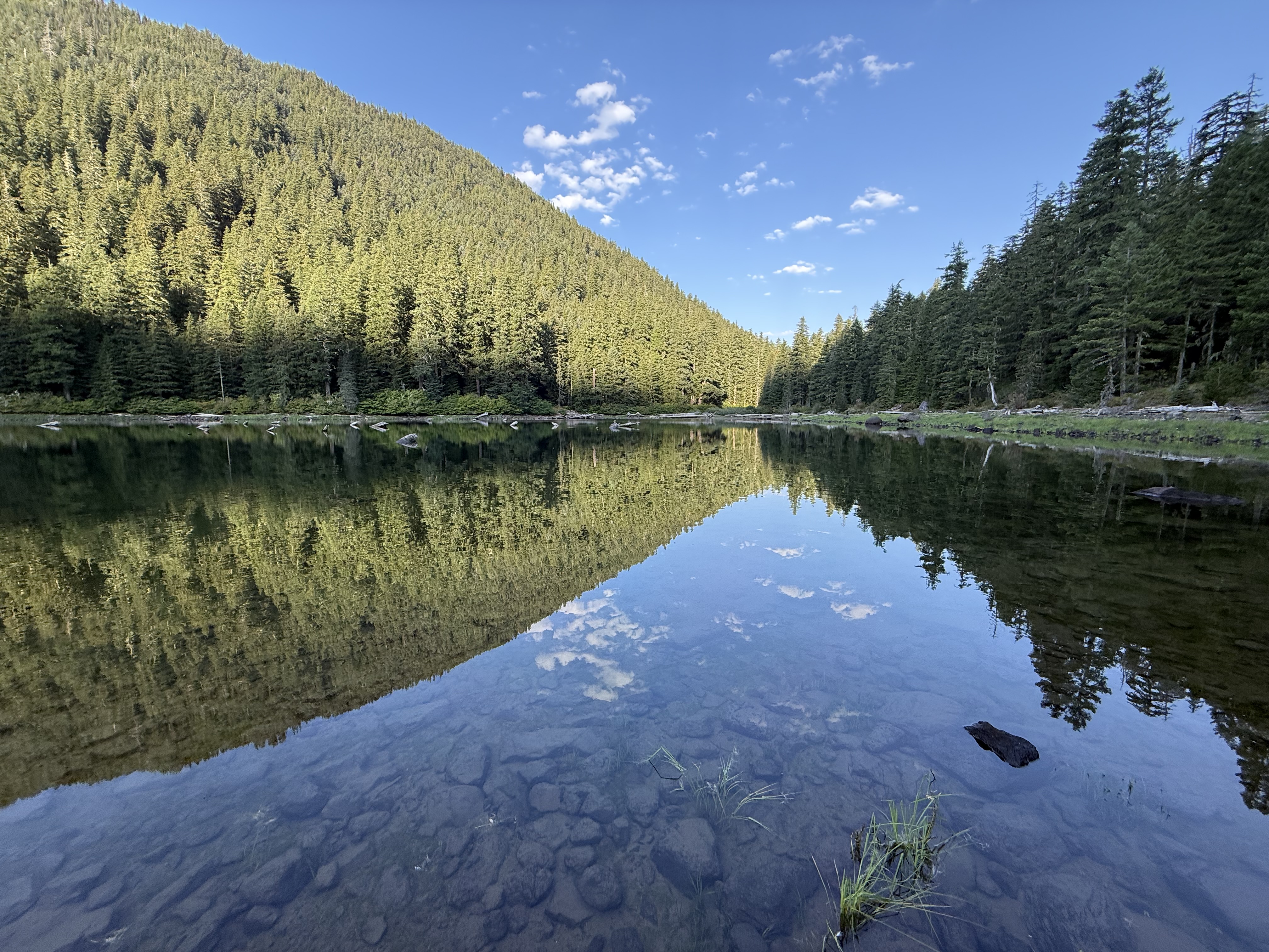
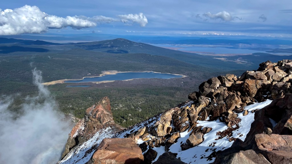
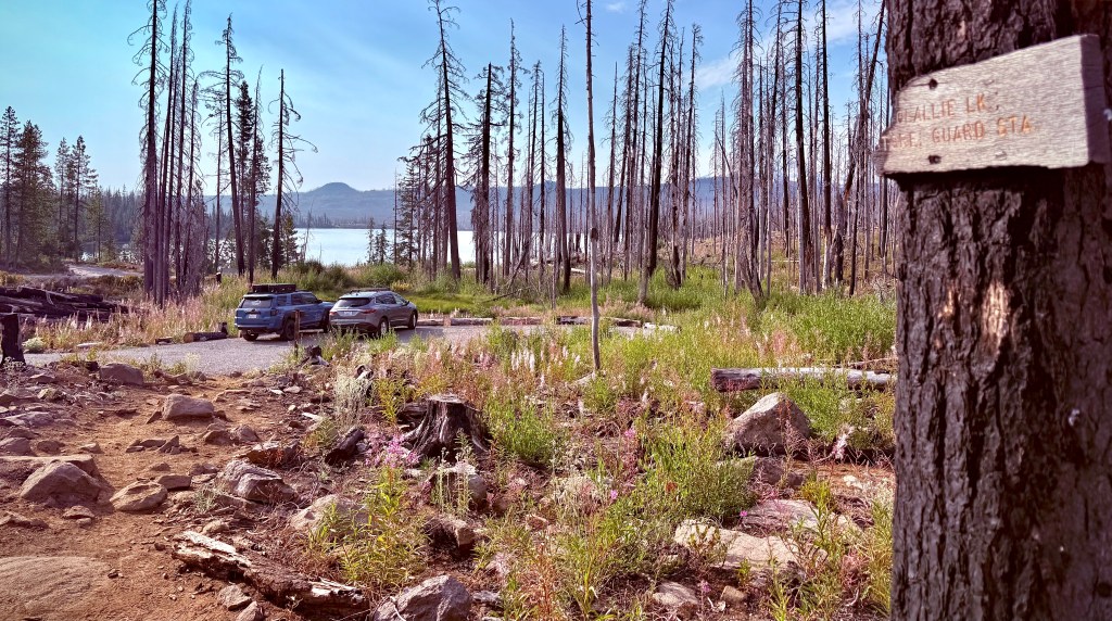
Anthony had planned out a day that would not have been as hard leaving us with an easy hike out the last day. He had a lake in mind. I kept contemplating, as we wearily plodded along, we can’t be to this lake yet because everything is still ugly. Dale kept getting worse and his pace continued to fall off with each on going hour of exertion.
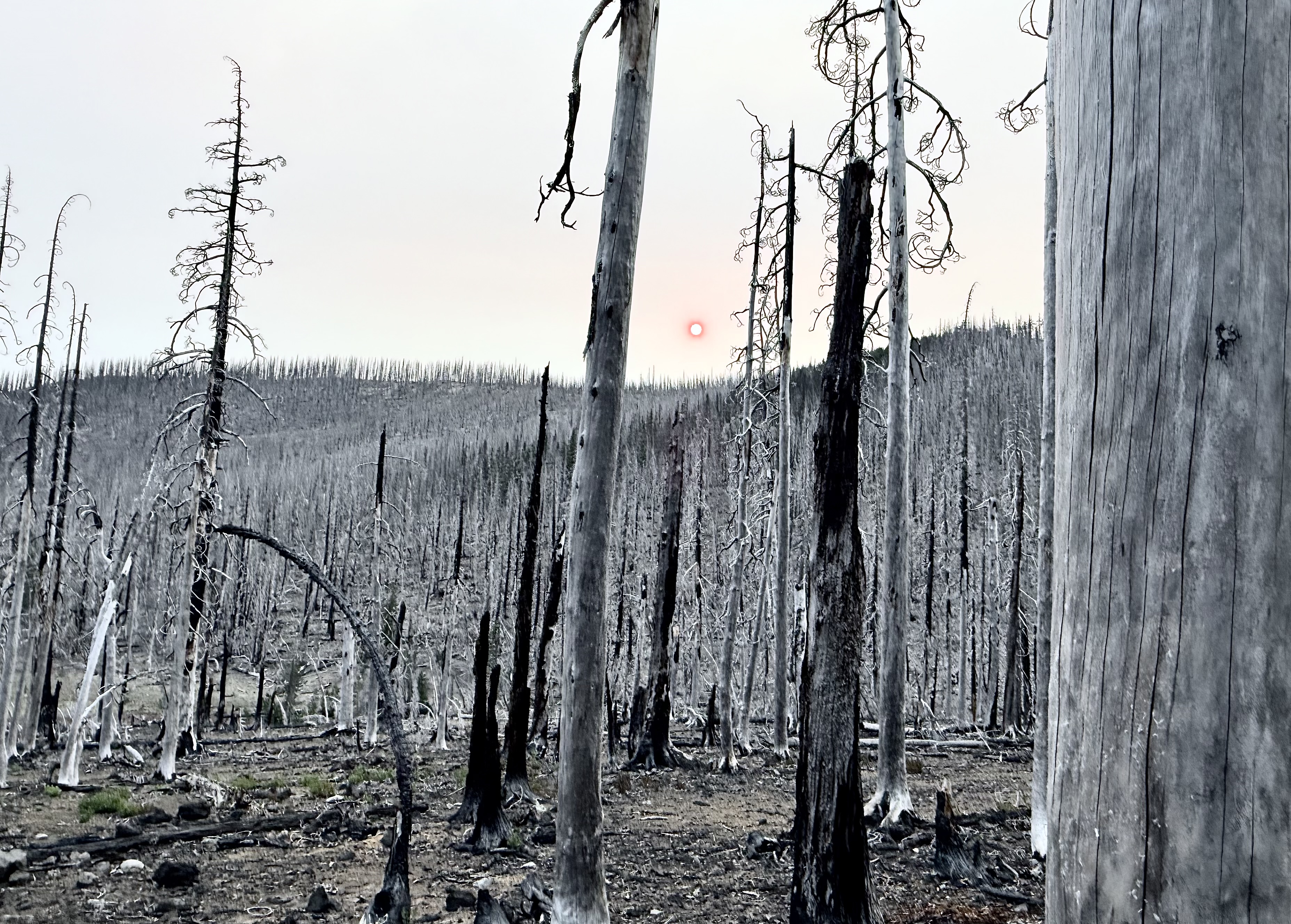
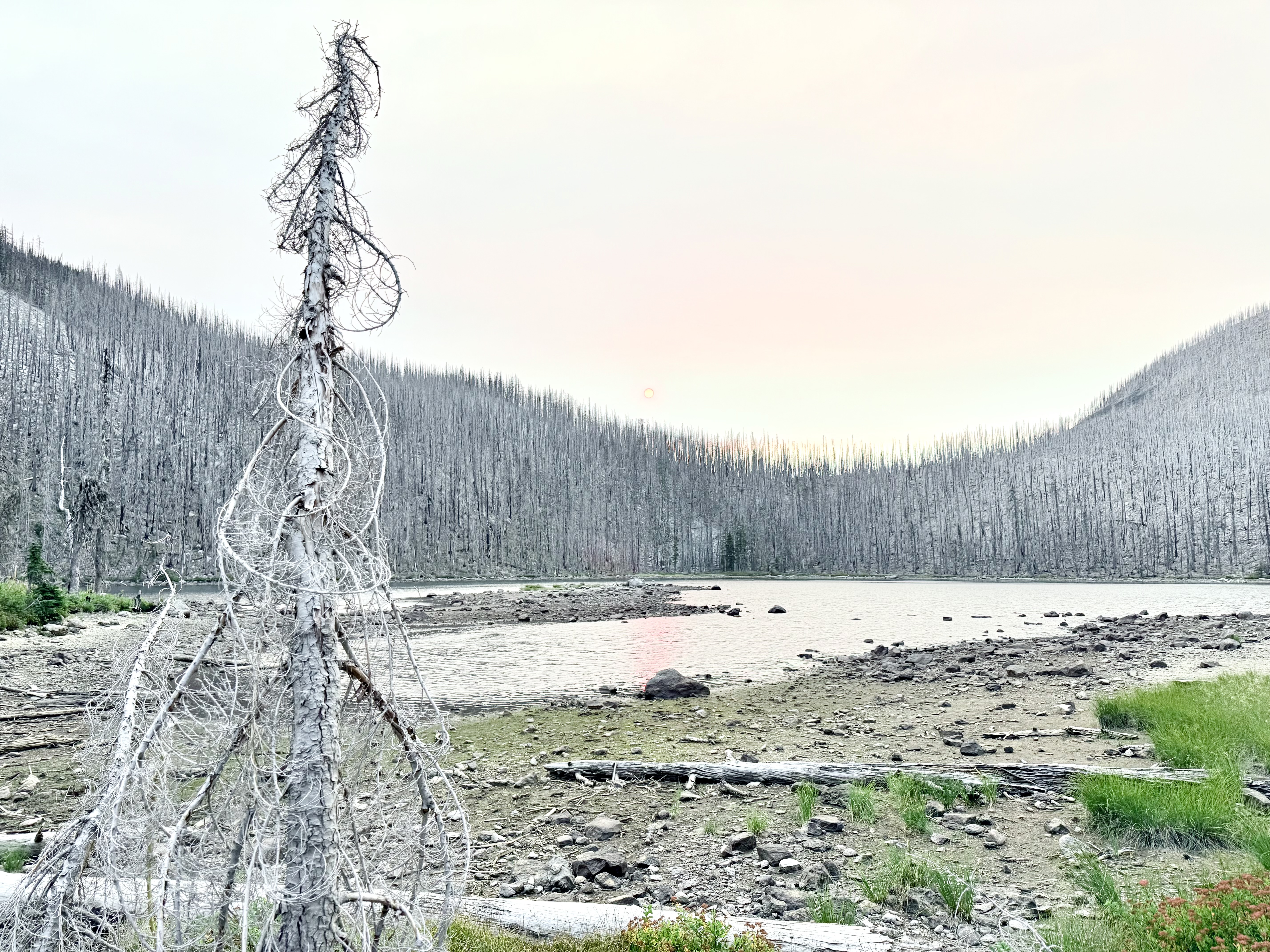
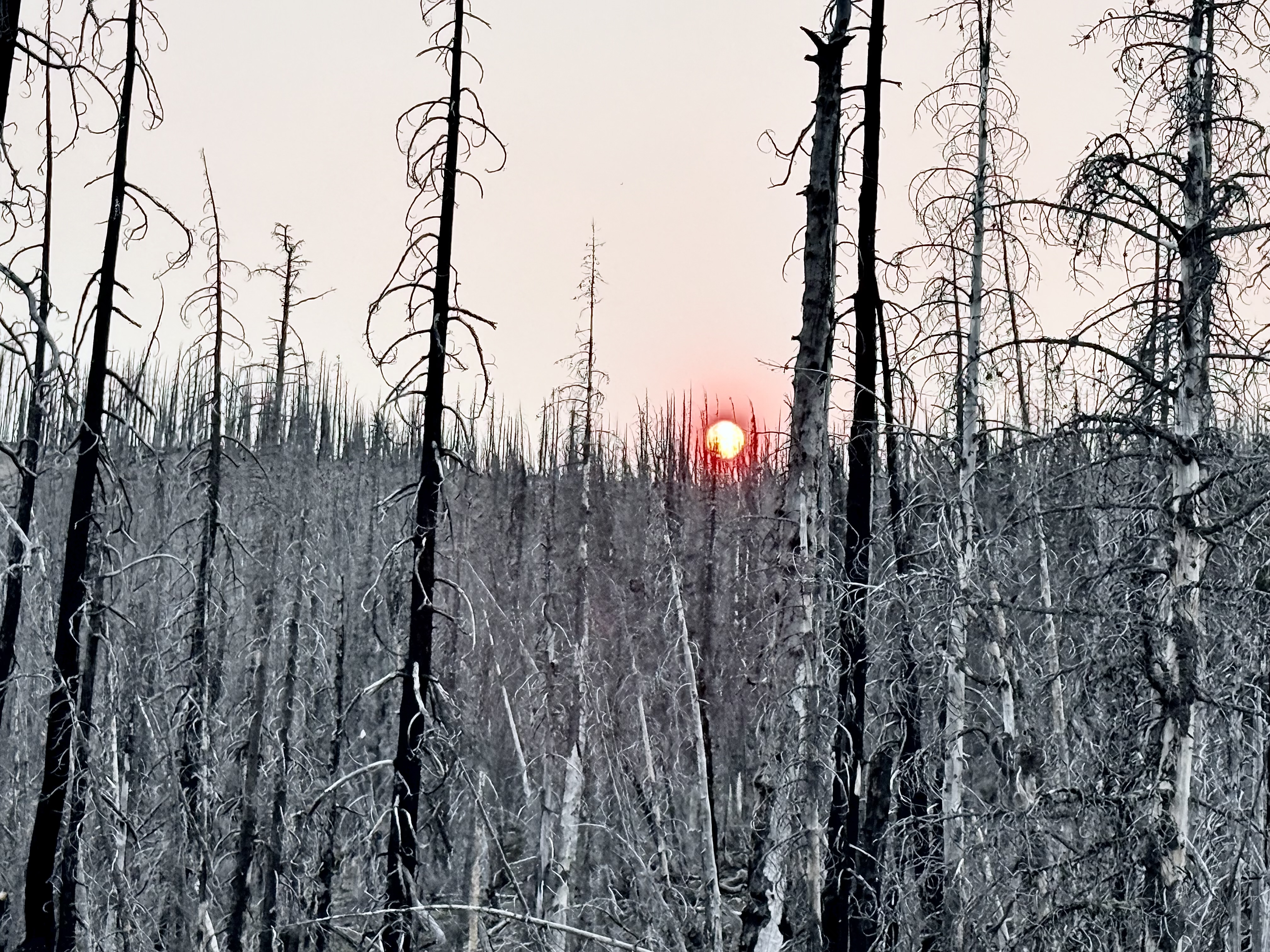
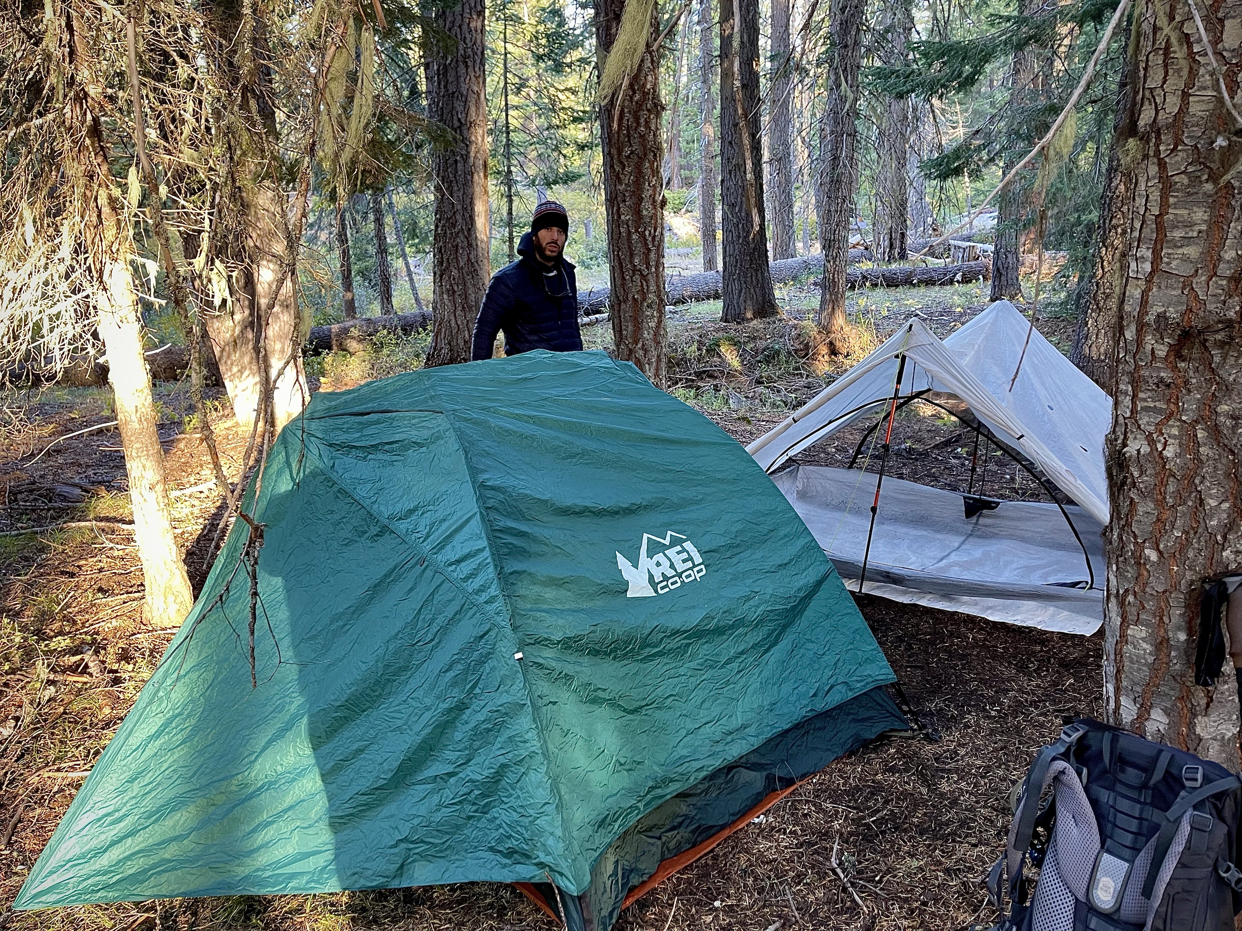
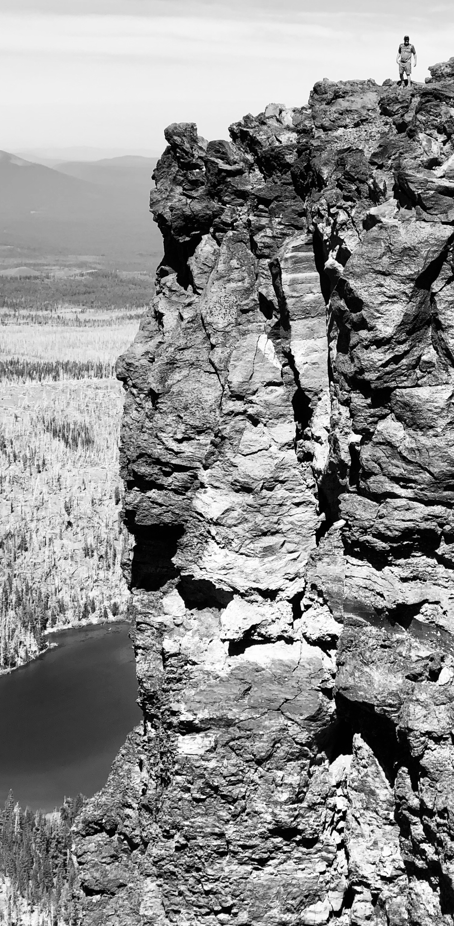
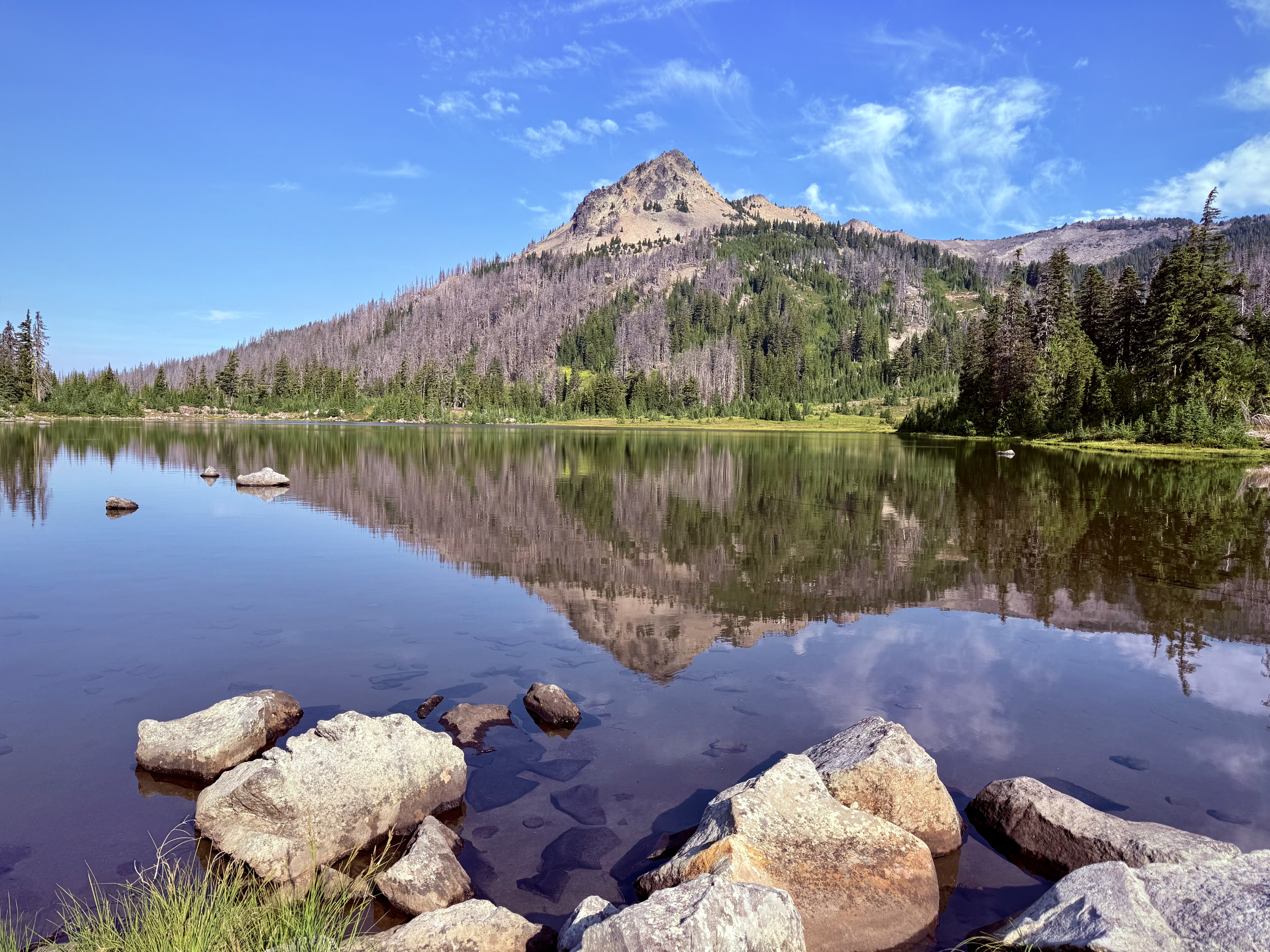
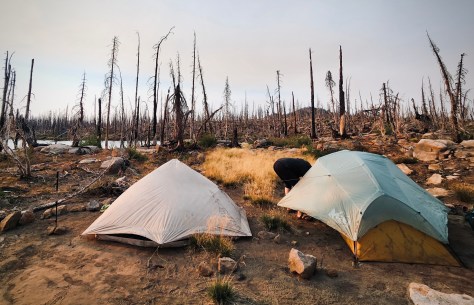
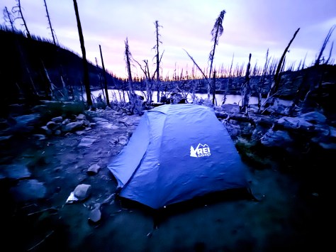
We finally pulled into where we were pitching our tents for the night. Cigar Lake, I am sure was named because of it’s shape, but I was thinking that it was ably named as it was all burned up. This Hades was surely the worst spot I have ever camped. The toppled timber was barren and black strewn about like matchsticks and the ground was ash. The smoke from the Sister’s Fire was choking out the sun giving it the appearance of a glowing red ball. It was an eerie apocalyptic setting.

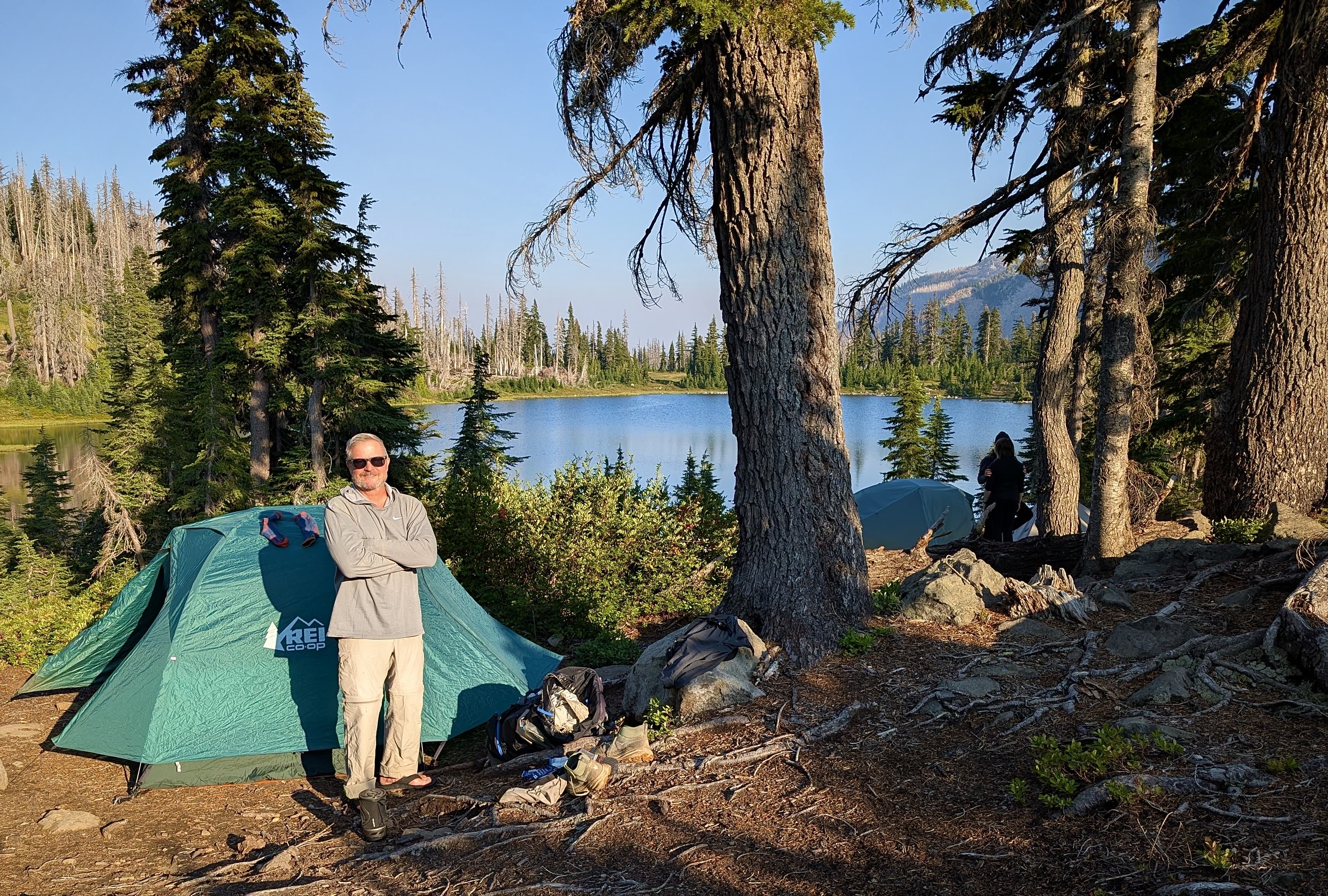
By the time we arrived Anthony and Katie had already set up their camp. The wind had painted the sides of their tents with ash. I really did not want to camp in that dirty, dusty place and searched about finding something more suitable in some nearby boulders. By the time I filtered water, set up my tent and started my Jetboil for dinner it was dark. There was nothing to see anyway so that was fine.
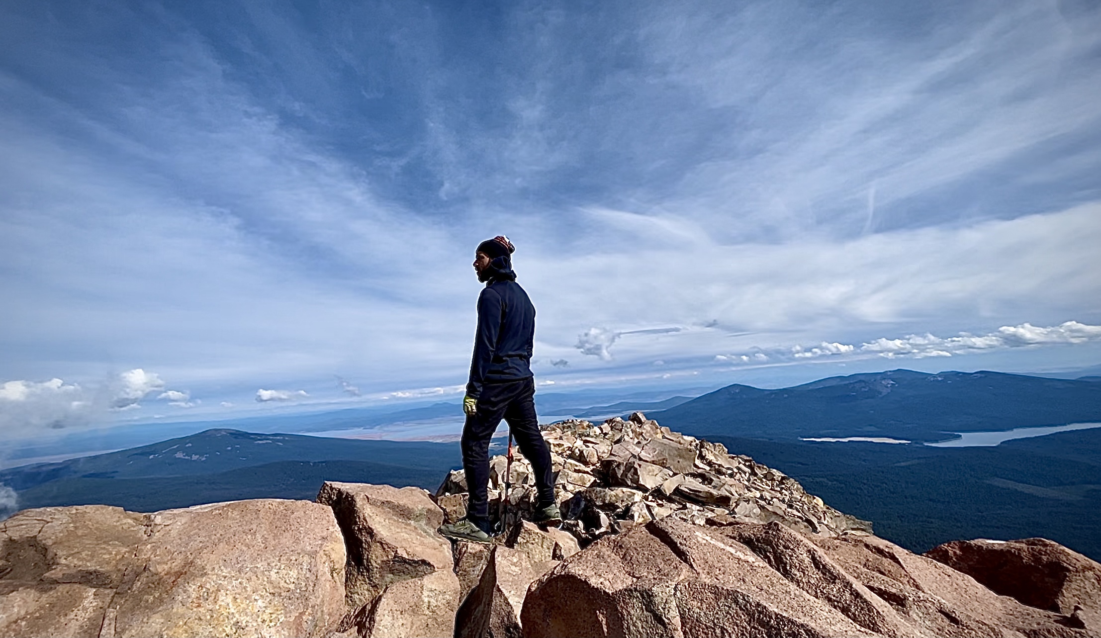
During the night I got a wild hair and conjured up a plan. In my mind the beauty of this expedition was over. There was only the drudgery of the last final few miles through the land of doom. So a leisurely breakfast was certainly not something to be enjoyed in this place of destruction.
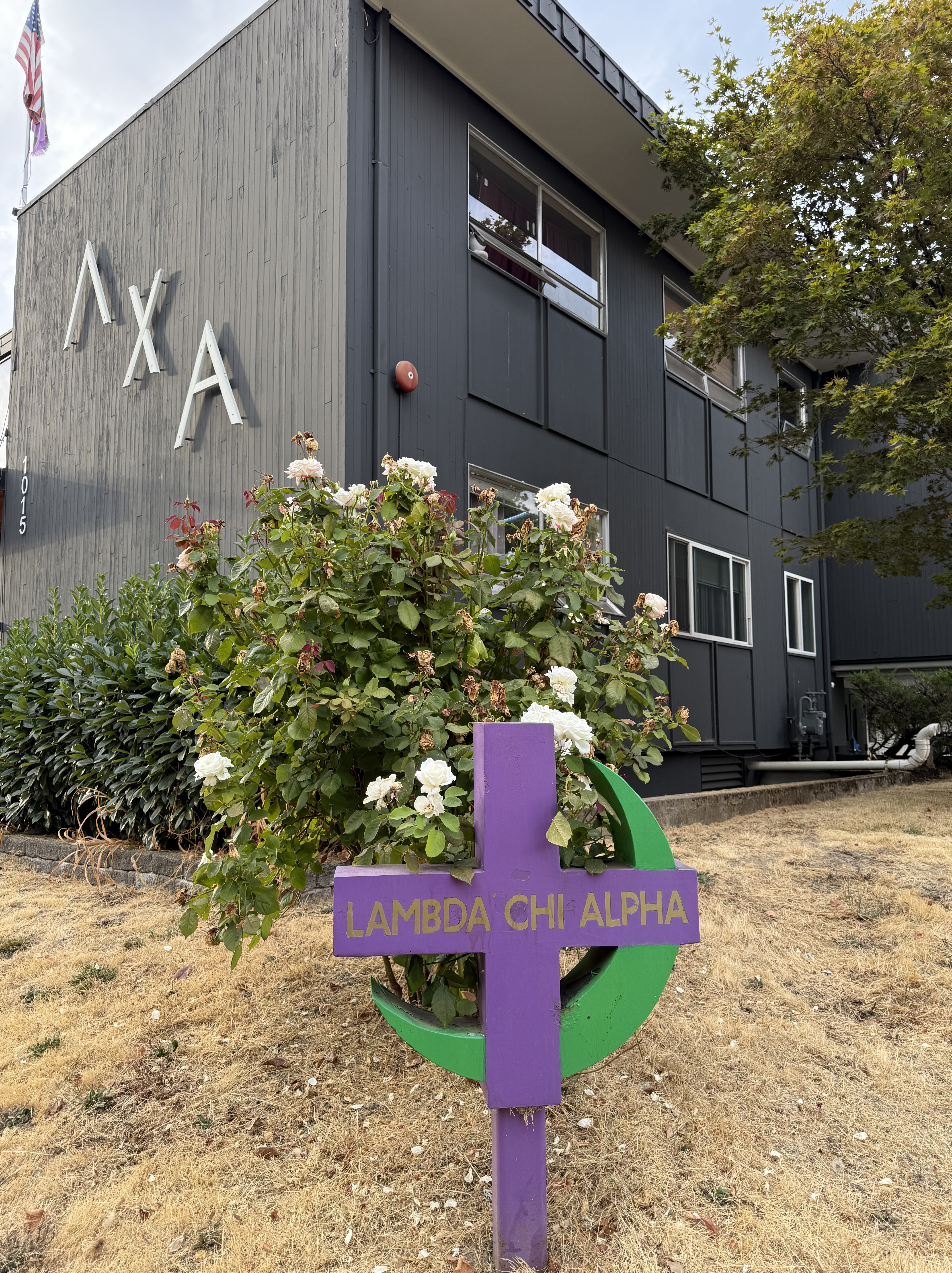
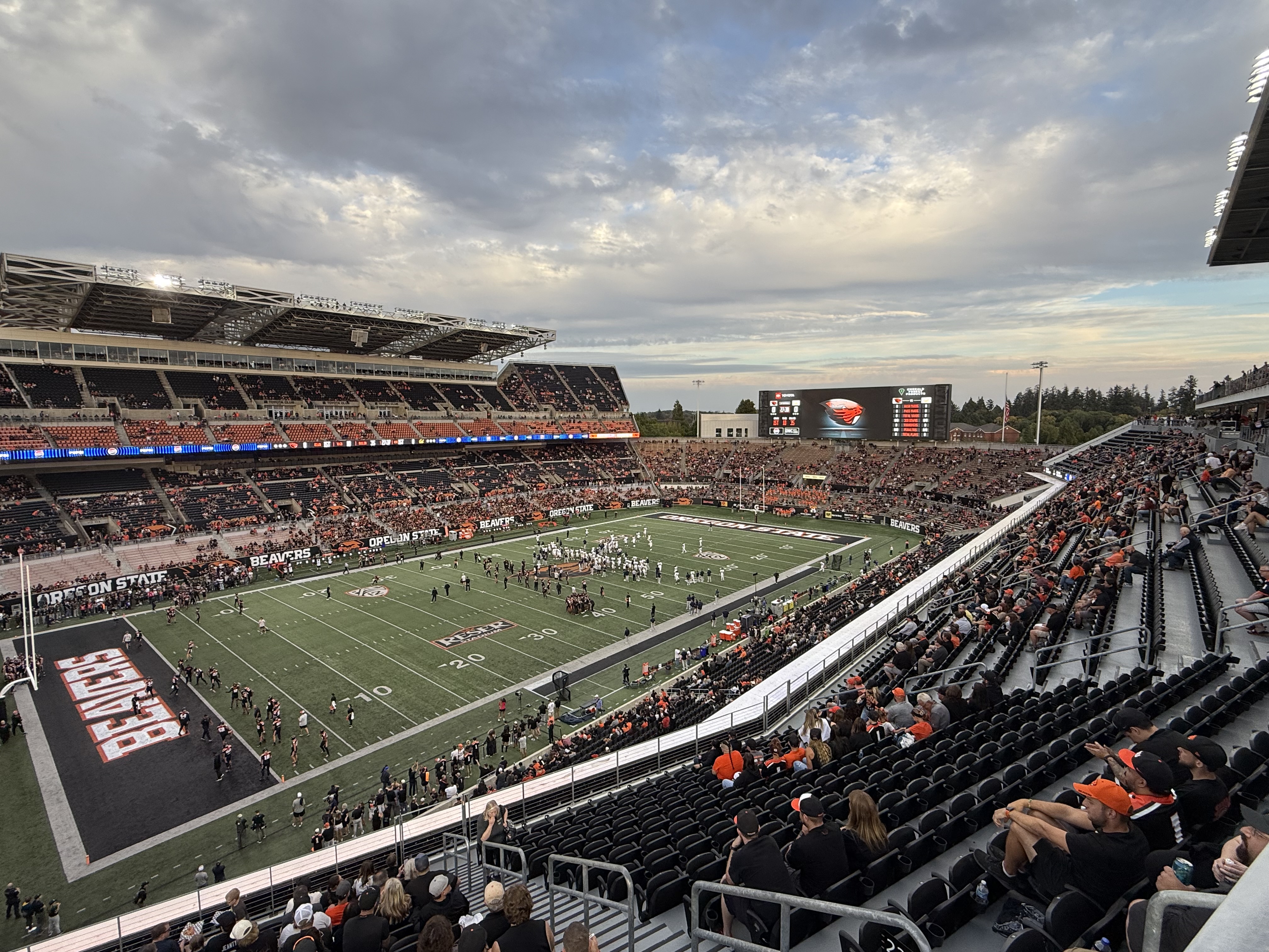
Beyond that I had been invited to return to my university, Oregon State, for a fraternity event which I thought that I would not be able to attend to the disappointment of my brothers. I had not set foot on campus since my graduation so seeing my fraternity brother chums and going to the football game was pulling at me. I thought if I got up early and high tailed it, hopped in my Toyota 4Runner TRD and 4wheeled out of there I just might make the event.
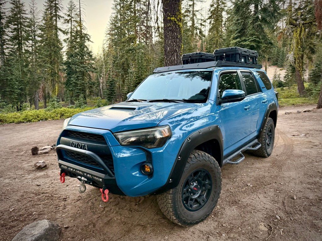
So that is exactly what I did. I bid my expedition friends farewell and hauled butt. You would not think that I had ever struggled on the mountain. With new found exuberance I moved at PCT Through Hiker pace, almost running, lol! I jumped in my rig and was gone in a giant cloud of dust bouncing along the rugged jeep trail off to another type of adventure.
Mount Jefferson Wilderness Finale
CLICK THE PIC!

Our group of intrepid wanderers Anthony, Katie, Peggy, Dale, and I appreciate you FOLLOWING these episodes of ‘Pursuing Balance Through Adventure’ Oregon Hiking in the Mount Jefferson Wilderness. (Previous episode) Our adventure trail started in a forest of devastation, lifeless and charred by wildfire. It even began raining and I thought to myself this is not why I came to here, this sucks. Most of that first day we were surrounded by ugliness and hardship. But that struggle through the ravaged area brought us to one of the most beautiful places one could imagine. There were more of those days ahead for us on the journey, a balance of gorgeous and hideous. Lush, fertile forest balanced with blacken timber and scorched earth. Nature does not know good and evil and views wildfire started by lightning as a crucial step in renewal, adaptation and the maintaining of ecological balance. I write this Adventure Blog PBTA talking about Balance. This is just another type of Balance. The Balance of Nature. You can’t have a rainbow without a little rain. Forests need wildfire as hard as that is for me to digest. On this hike we got to see two extremes. All part of Natures plan. I will say the struggles that we experienced through spoiled forest and the physical struggles that I had at the beginning of the trip and that Dale had at the end of the trip- were worth it. We were stronger for it. We were able to experience something very special, something that most people do not get to. The journey although difficult for different reasons, was oh so glorious. The sublime portions were so marvelous. It was pay to play, but we were all winners. It is on to the next adventure so be sure to: LIKE, COMMENT, FOLLOW and SHARE. Please visit my Online SHOP APPAREL for top quality adventure wear that carries the mantra, the banner, the message, the logo: ‘Pursuing Balance Through Adventure’. Profound Experiences in Nature is what we seek to Balance ho hum everyday responsibility with thrilling escapades. The menu showcases the many locations that PBTA travels. Each location is a separate website and thus needs to be FOLLOWED independently.
Happy Trails-
Roger Jenkins
Pursuing Balance Through Adventure