Tag Archives: Trailhead

Tumalo Mountain trail

DESCHUTES NATIONAL FOREST

NEAR BEND OREGON

Activity: Day Hike

Date: August 29, 2019

Distance 4 miles, 1,440’ elevation change, 3 hour duration, rated Moderate

Tumalo Mountain, a shield volcano, sits adjacent to majestic Mountain Bachelor near Bend Oregon in the Deschutes National Forest. At over 7700’ it affords wonderful views of Mt Bachelor at 9000’. From the top Tumalo Mountain is optimally located for spanning views of the northwest. Splendidly on display are the Sister’s Mountains, Broken Top and in the other direction Tam McArthur Rim.

Something very special for me to observe was occurring while I was on top of Tumalo Mountain. Yesterday in the late afternoon I was hiking Tumalo Falls. During the hike there was a light rain and distant lightening and thunder. That lightening touched off small forest fires in the area and fire fighters were working hard to make sure they stayed small. From my vantage point atop Tumalo Mountain I could see the aerial attack on that fire and found it fascinating. Crews made drops over and over with orange fire retardant to halt the advancing fire. Thank you fire-fighters for your valiant efforts.

A Northwest Forest Pass is required, and during the winter, if you are snow shoeing, a Snow Pass is required for parking. The trail gains altitude from the get-go as you weave through a sparse evergreen forest, an alpine meadow, until you reach an open portion at the top adorned with twisted white bark pines, and craggy trees. The backside of Tumalo Mountain confirms it’s volcanic origins with a steep hillside of volcanic pumice scree.

I highly recommend this hike. I hike mostly during the week, so the fact that this is a popular hike, simply because it is a great hike with superb views, is close to Bend, and is easy to get to, doesn’t affect me as much, but be aware that if you are hiking prime time – prime season that you won’t be alone. You know that you must be spoiled, in this manner, when you are hiking on a Thursday, and you discover a very chatty group is coming up behind you. I pulled over and let them go by. I believe that they figured out the reason that I stopped, mentioning something along the lines and apologizing. I replied. “Good morning, there is plenty of mountain for everyone.”

Fire Fighters drop fire repellent just in front of the fire to keep it from spreading.

Thanks for coming along on this journey of mine ‘Pursuing Balance Through Adventure’. It is my hope that my accounts will inspire you to seek your own counter balance to our busy work a day world through profound encounters with nature. Besides the stretching of the legs, and the breathing of mountain air, it is about setting the soul soaring to the mountain tops, the deserts, the oceans, rivers, lakes or canyons. If you are unable to take an adventure of this nature, for whatever reason, then do so vicariously through me and together we will experience freeing our souls through this medium. So please COMMENT, FOLLOW, LIKE, and SHARE.

Pursuing Balance Through Adventure Videos regarding the hike

Tumalo Mt in the Shadow of Mt Bachelor
Views of Sisters, Broken Top, and Mt Bachelor from Tumalo Mt.
Firefighters make aerial assault on Wildfire as seen from Tumalo Mt.

Tumalo Falls & Double Falls

DESCHUTES NATIONAL FOREST

NEAR BEND OREGON

Activity: Day Hike

Date: August 28, 2019

Distance 2+ miles, 320’ elevation change, 90 minute duration, rated Easy

If you like waterfalls then the Pacific North West is definitely the place to be, boasting more waterfalls then anywhere in North America. Oregon has some splendid falls and Tumalo Falls, a short drive from Bend, is a good one. Be advised that the last couple of miles or so are unpaved gravel, washboard National Forest roads. It can be done in everyday vehicles, but it can be a rough ride. Also this is a popular spot so plan accordingly as parking can be tough in the small lot at the trailhead. If you don’t have a Northwest Forest Pass then it will be $5 cash.

Tumalo Falls in Tumalo State Park is 89’ tall and is on Tumalo Creek, part of the Deschutes River watershed area which is glacier fed. Tumalo, it is believed, is an Native American word for icy water. That would make sense if it is glacier fed. But one thing is for sure it is a grand falls and the whole area is magnificent. There are two viewpoints a short distance from the parking area. After taking in the beauty of the falls I headed out with Bruce Petersen, my good friend and fraternity brother, whom I had not seen in decades. Bruce is from Bend and he guided me along the North Fork Trail, which was easy to follow, along Tumalo Creek. We took in multiple wonderful smaller waterfalls along the route including Double Falls. Double Falls has a similar drop to Tumalo Falls but broken up into several drops.

It was late in the day, and although Central Oregon brags about 300 days of perfectly blue skies, on this day a light rain began to fall, (lovingly referred to as “liquid sunshine” which of course keeps Oregon green and beautiful), and a few lightening flashes accompanied by the rumble of thunder aided in our decision it was time for us to head back. Also Bruce was a trooper as he was rehabbing from knee surgery, but was quickly on the mend and his doctor okayed our couple miles or so hike, but if you have more time there is more trail and more waterfalls to be enjoyed.

About Nature – A Waterfall
Never before had I seen such a splendid sight of grace and beauty as a waterfall. Life was being given to the green flowing lush vegetation on either side of a glittering strip of fluid motion moving down the land like a snake through grass. How enchanting the sight was and oh how comforting. -By George Krokos

Waterfalls are enchanting, magical, places of awe… let’s find some more because who doesn’t love waterfalls? If you love waterfalls like I love waterfalls then please LIKE, FOLLOW, COMMENT, and SHARE. Thanks for joining Bruce Petersen and I while ‘Pursuing Balance Through Adventure’.

Roger Jenkins, Pursuing Balance Through Adventure

Burma Road Loop

SMITH ROCK STATE PARK

NEAR TERREBONNE, OREGON

Activity: Day Hike

Date: August 28, 2019

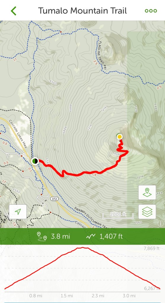
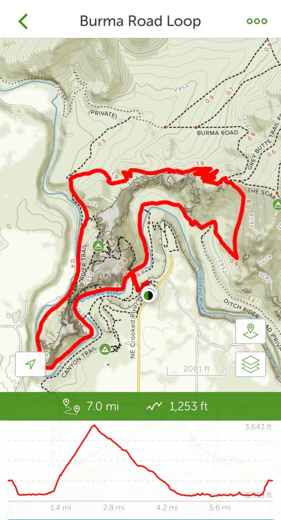
Distance: 7 miles, 1,253’ elevation change, 4.5 hours duration rated Moderate.

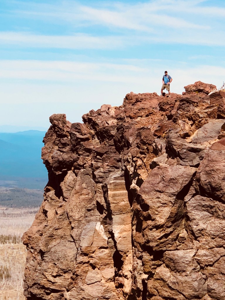
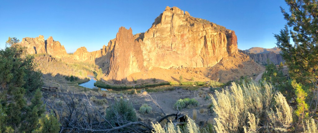
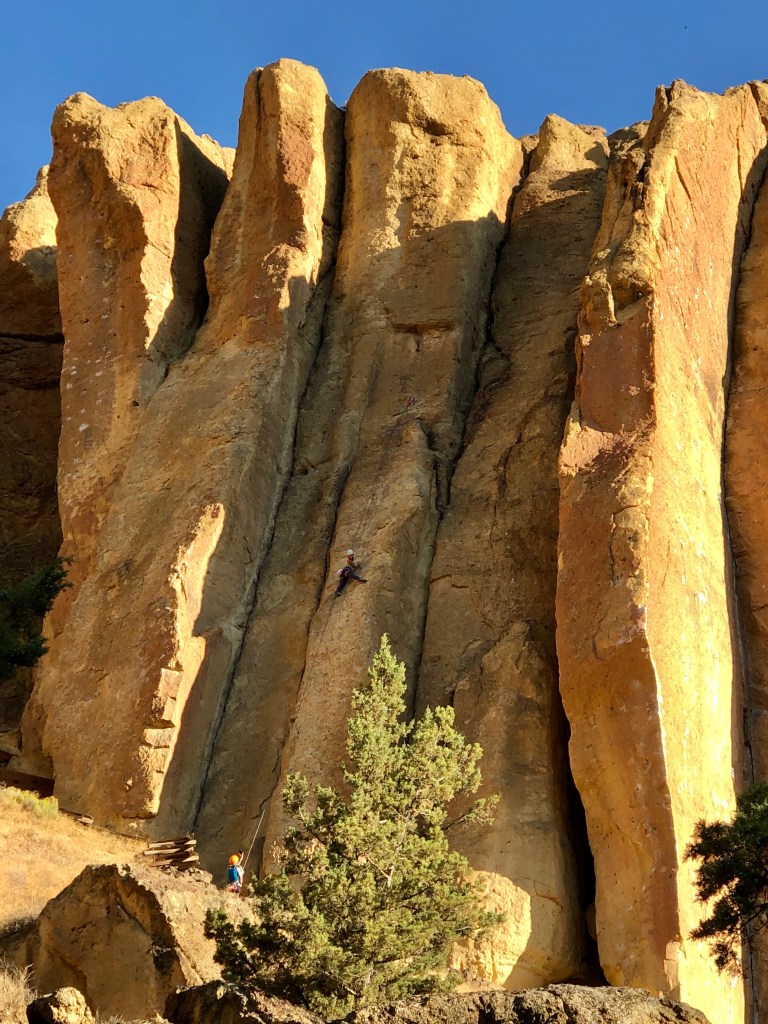
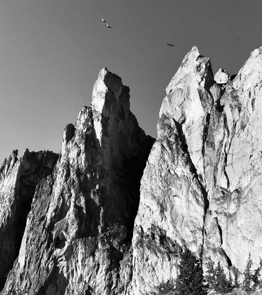
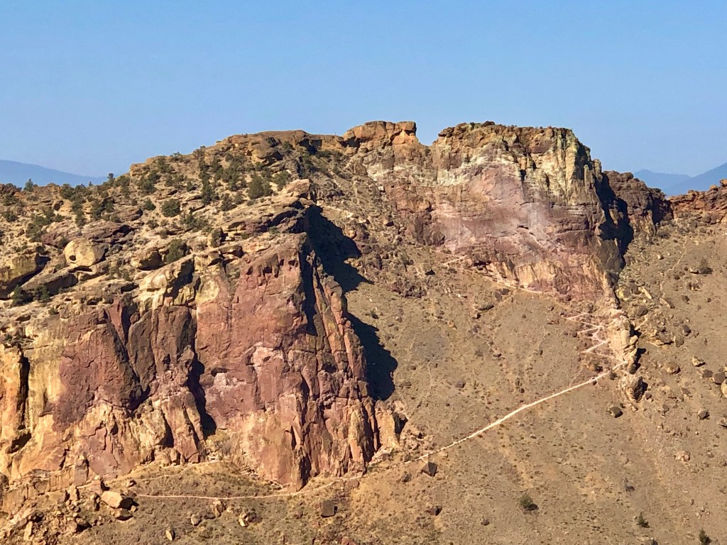
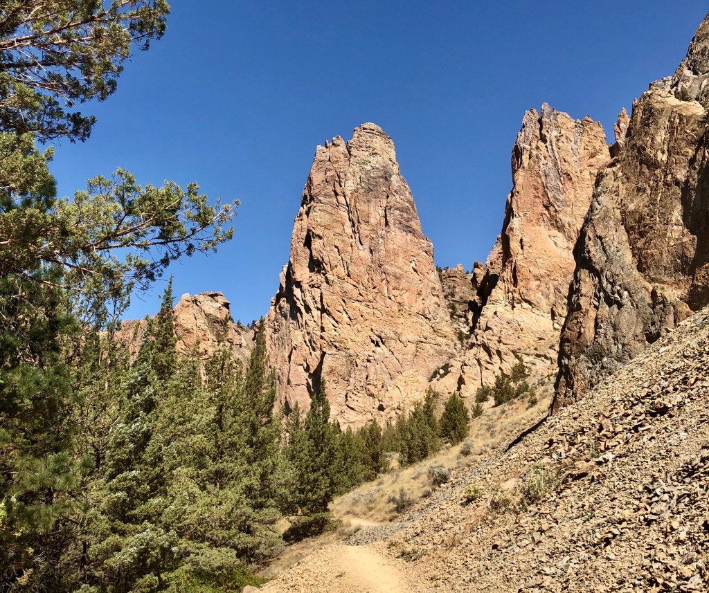
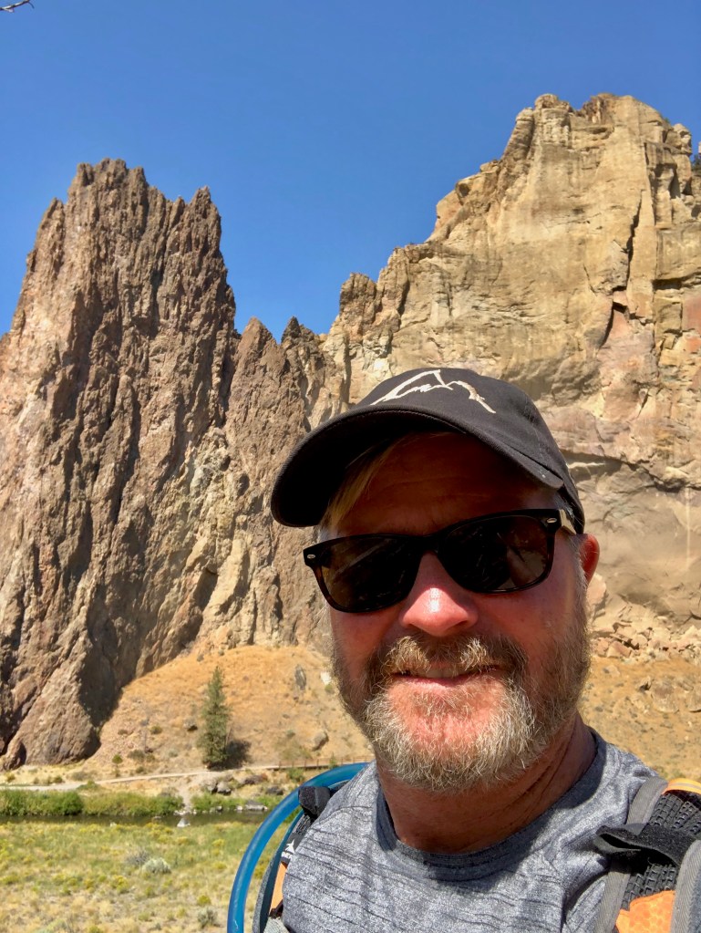
Smith Rock is one of those special places that is almost spiritual it is so beautiful. This was my second time to hike at Smith Rock, the last was hiking up Misery Ridge a few years ago with my fraternity brother Marcus, my son Alec, (then about 12), and a bunch of college guys, friends of Macus’s son. I found Misery Ridge to be aptly named for the crazy switch backs and quick elevation change, not only a challenge, but a stunningly beautiful hike and a fantastic climb.

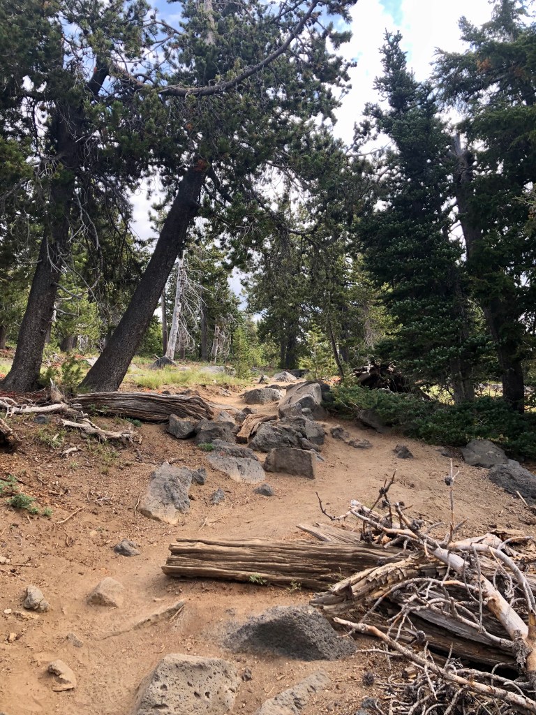
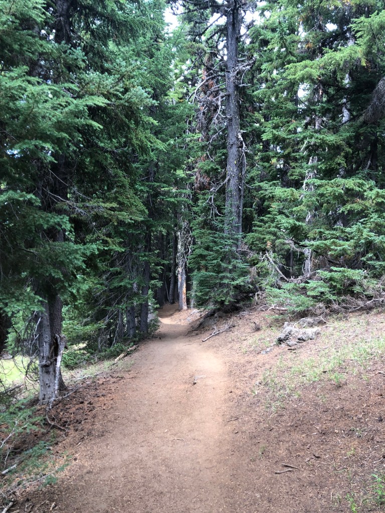
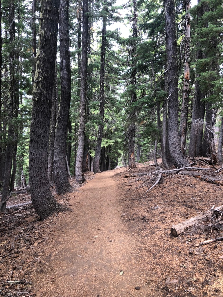
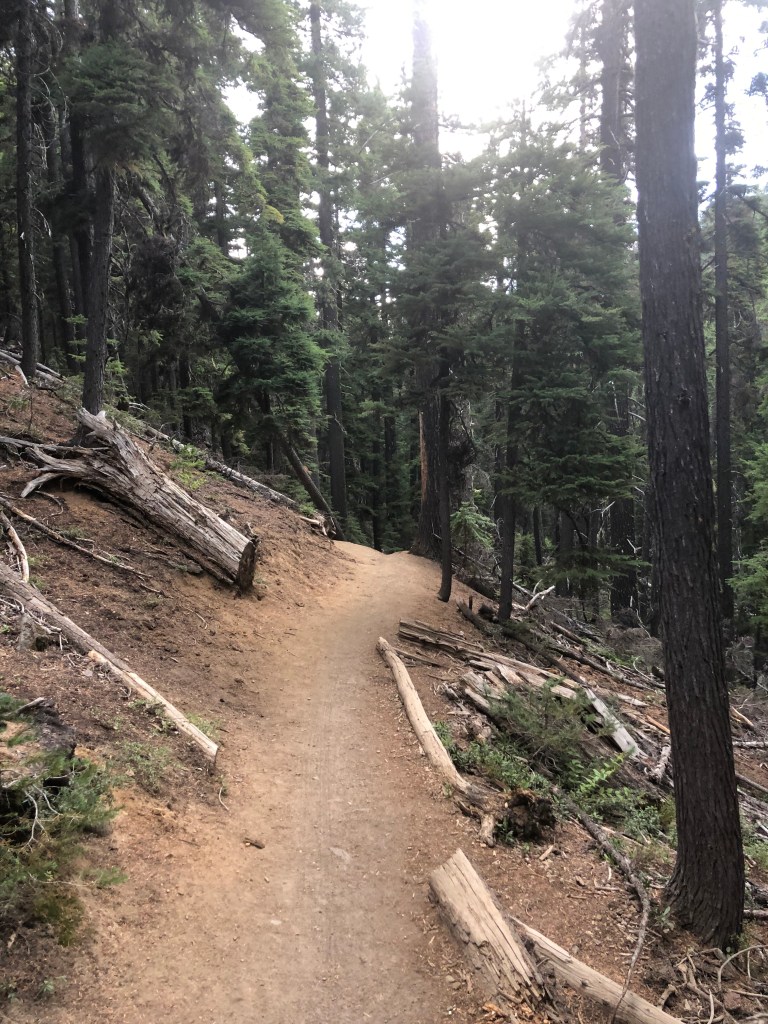
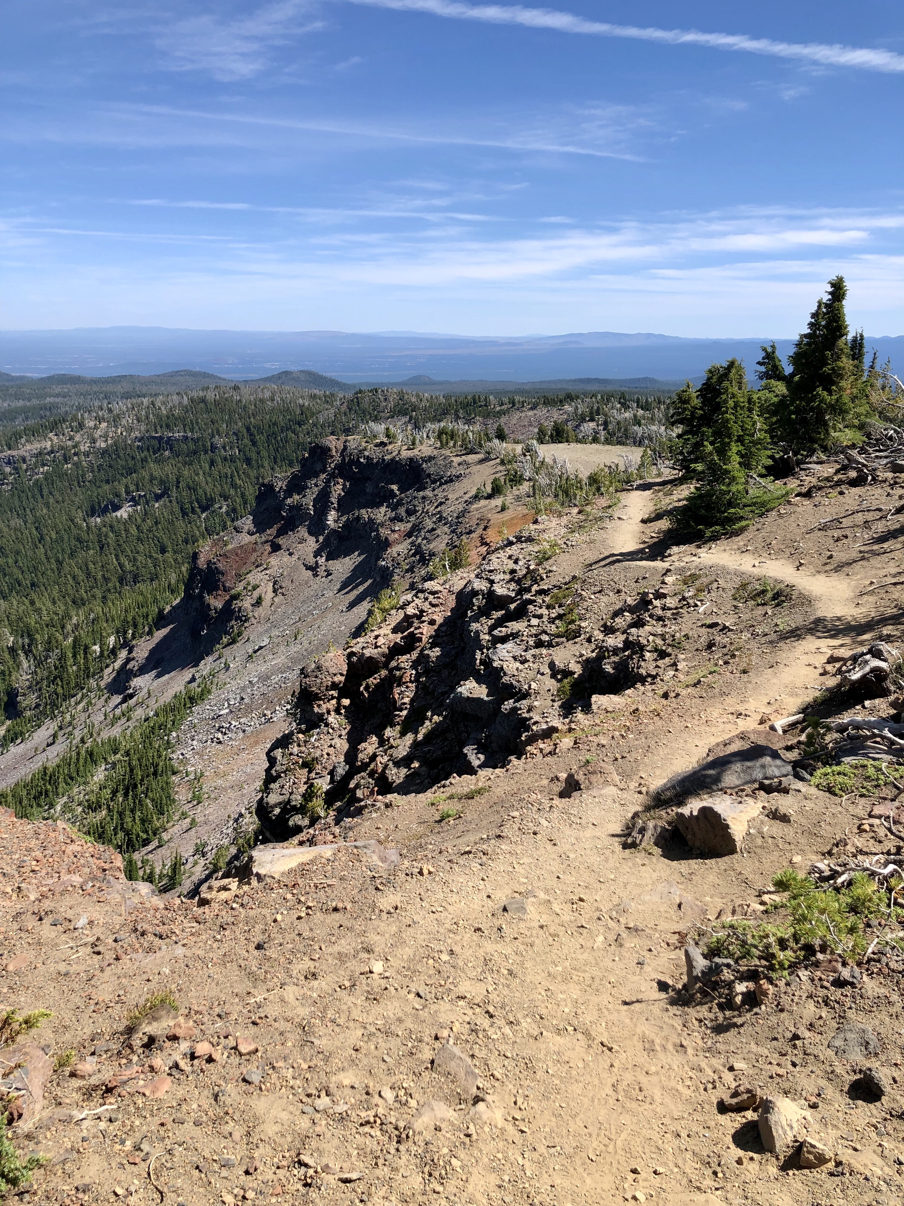
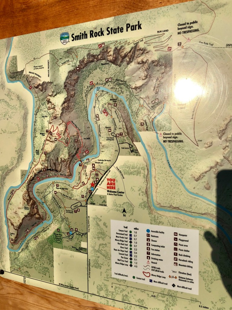
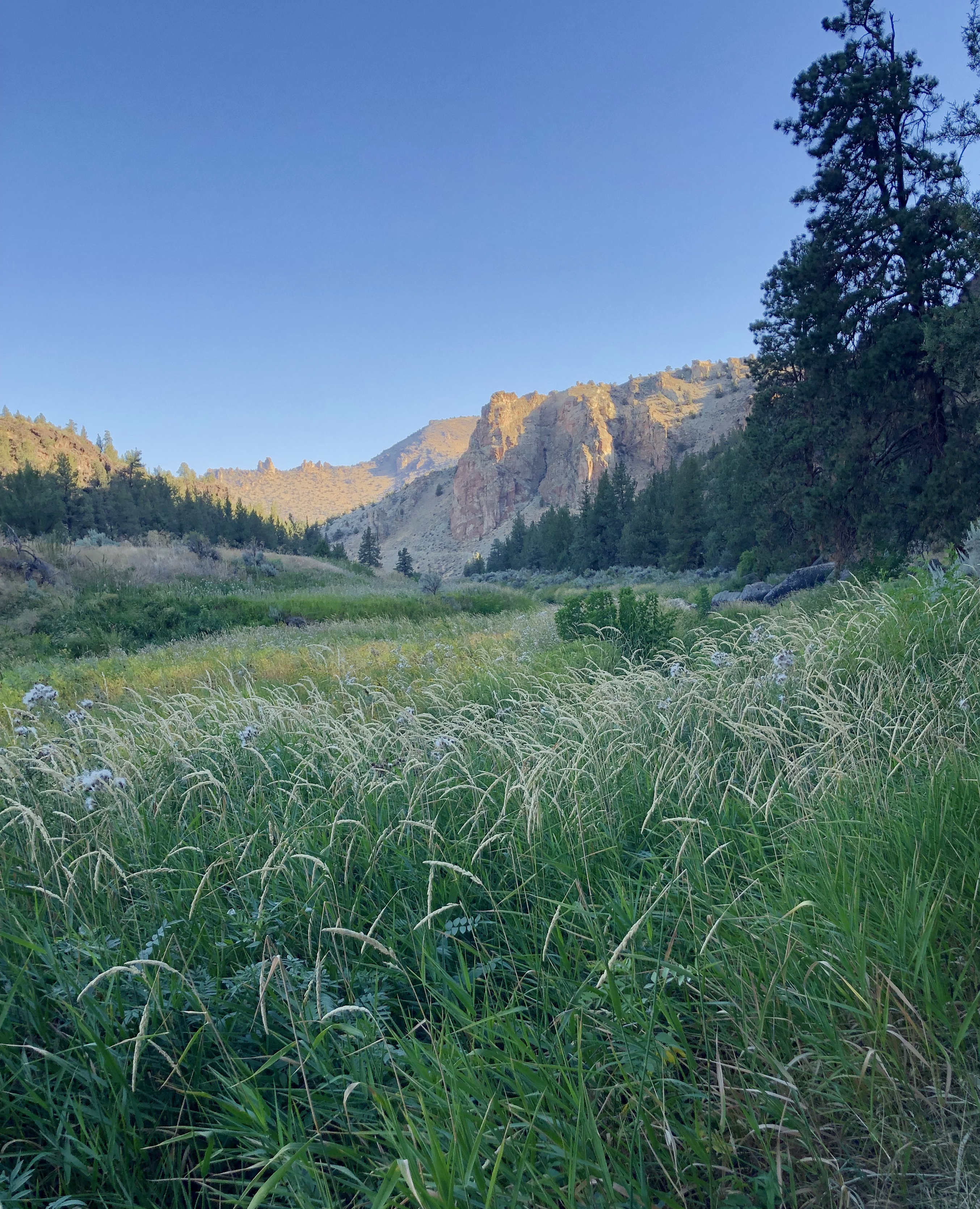
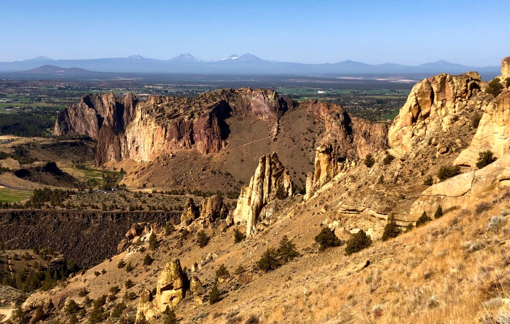
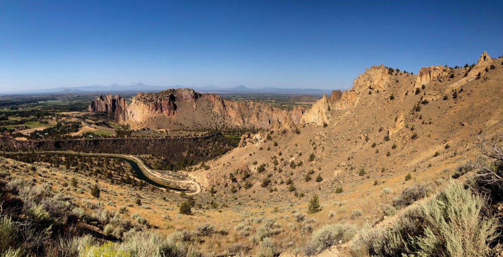
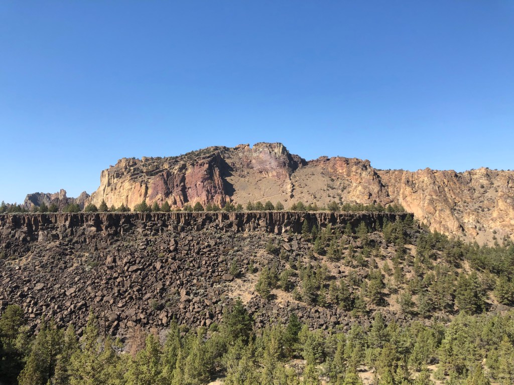
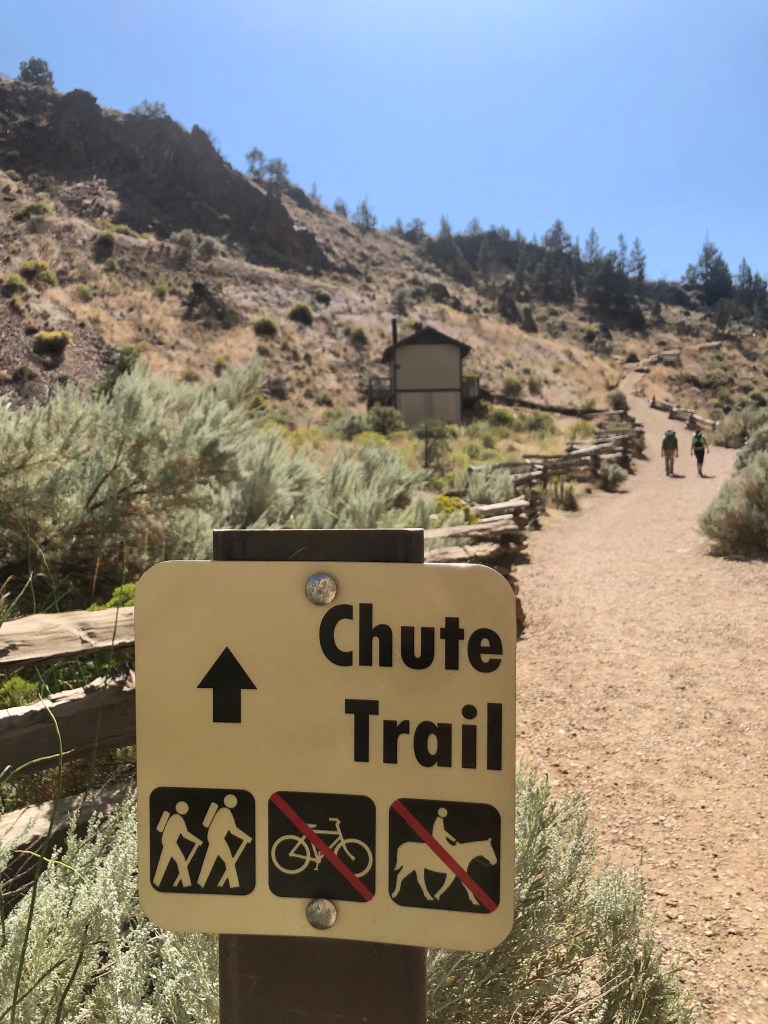
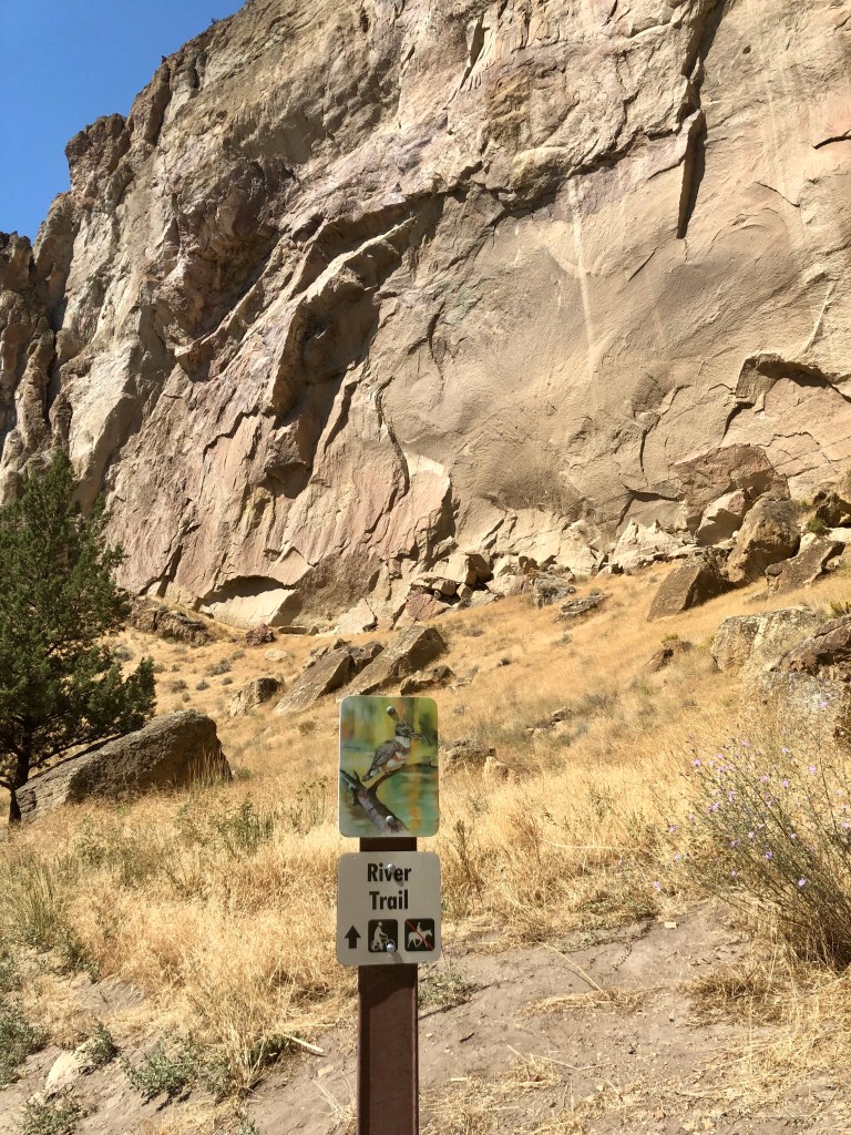
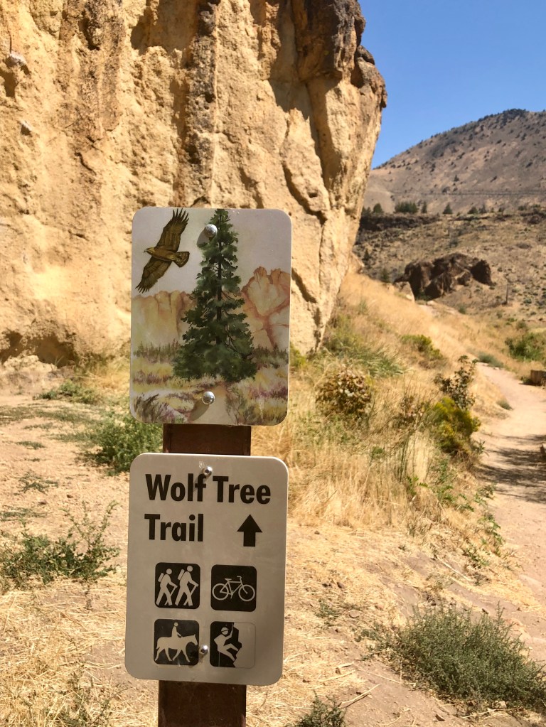
Wanting a different hike and experience I chose the Burma Road Loop. The loop is made up of multiple trails: The Chute, River, Summit, Burma Road and Wolf Tree Trails. It completely circumnavigates Smith Rock so you view it from every angle including looking down at it from the neighboring ridge. So any thoughts that this would be easier than Misery Ridge would be mistaken. Actually it is less aggressive in my opinion as the elevation is more spread out and over a longer distance. That being said however, there is a section with some fairly challenging switch backs as well.

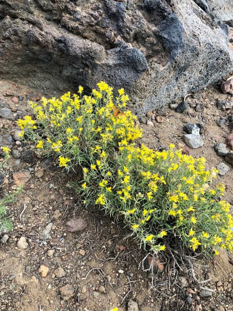
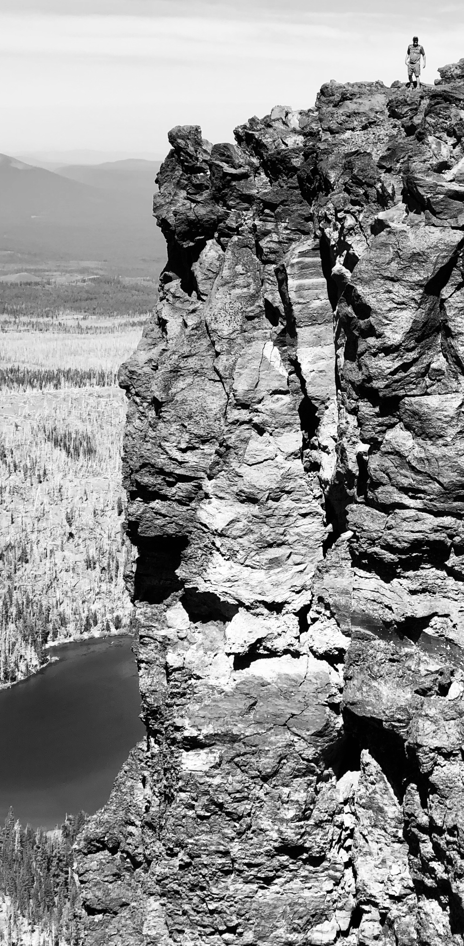
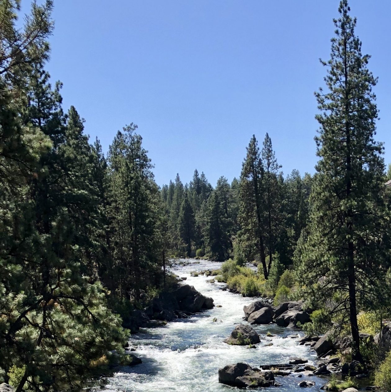
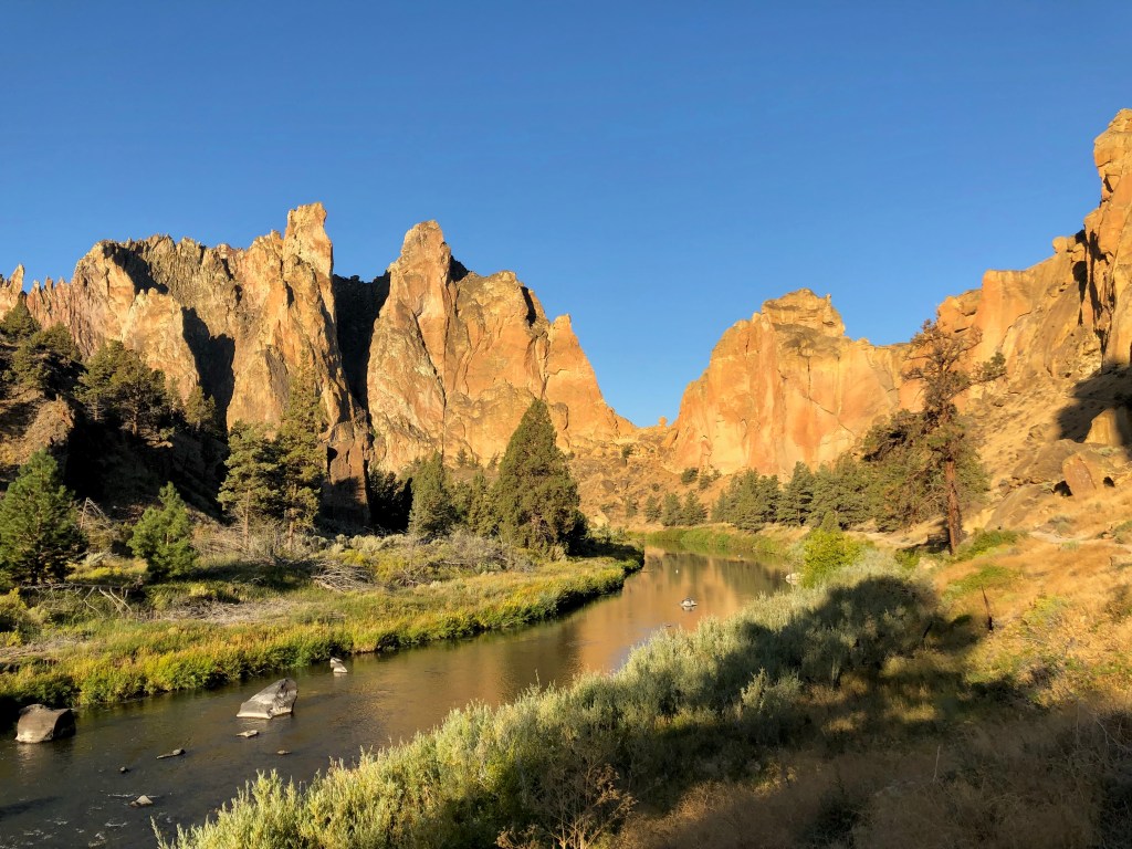
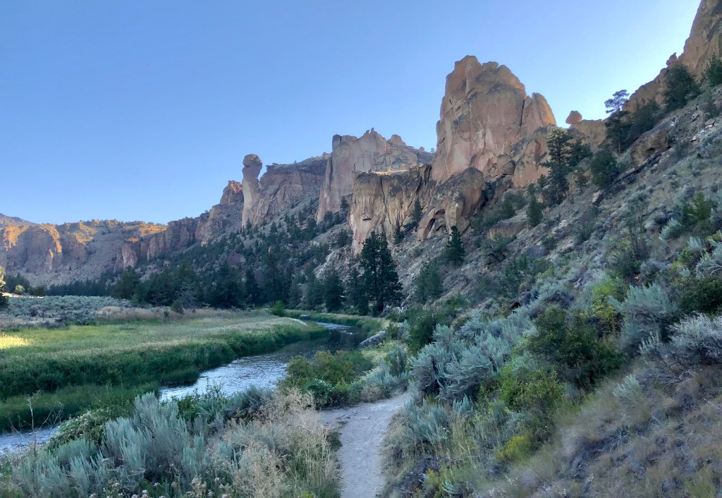
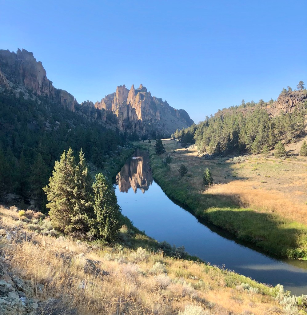
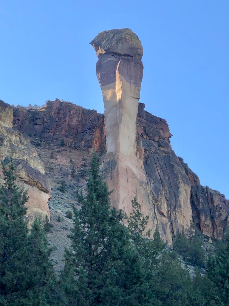
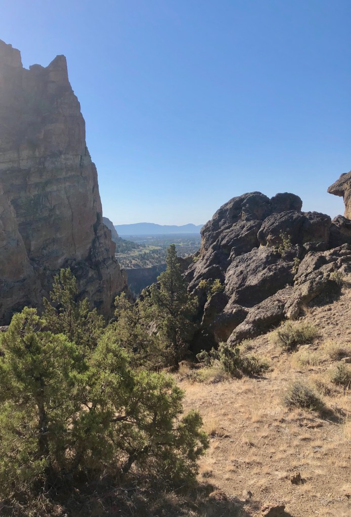
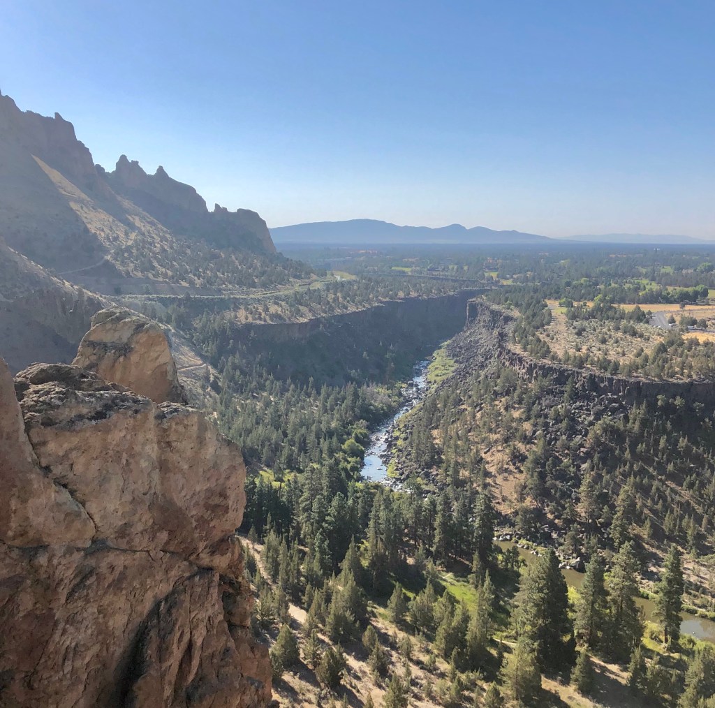
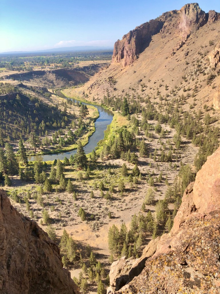
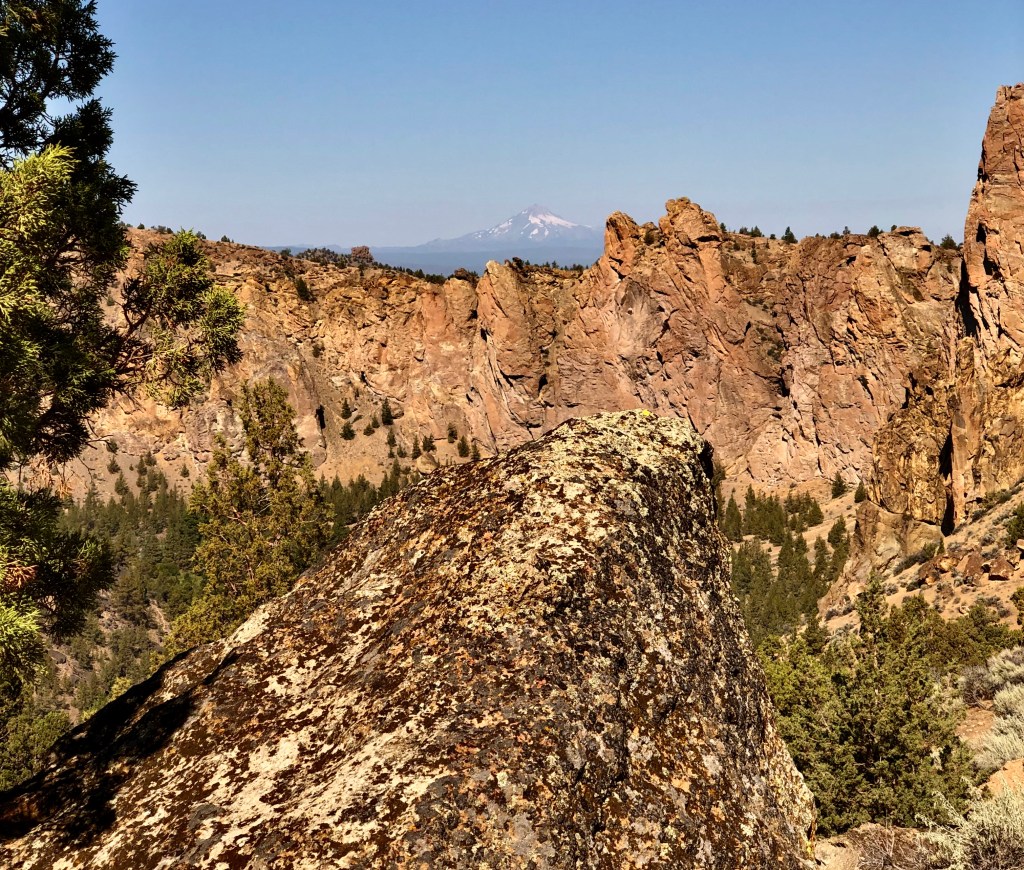
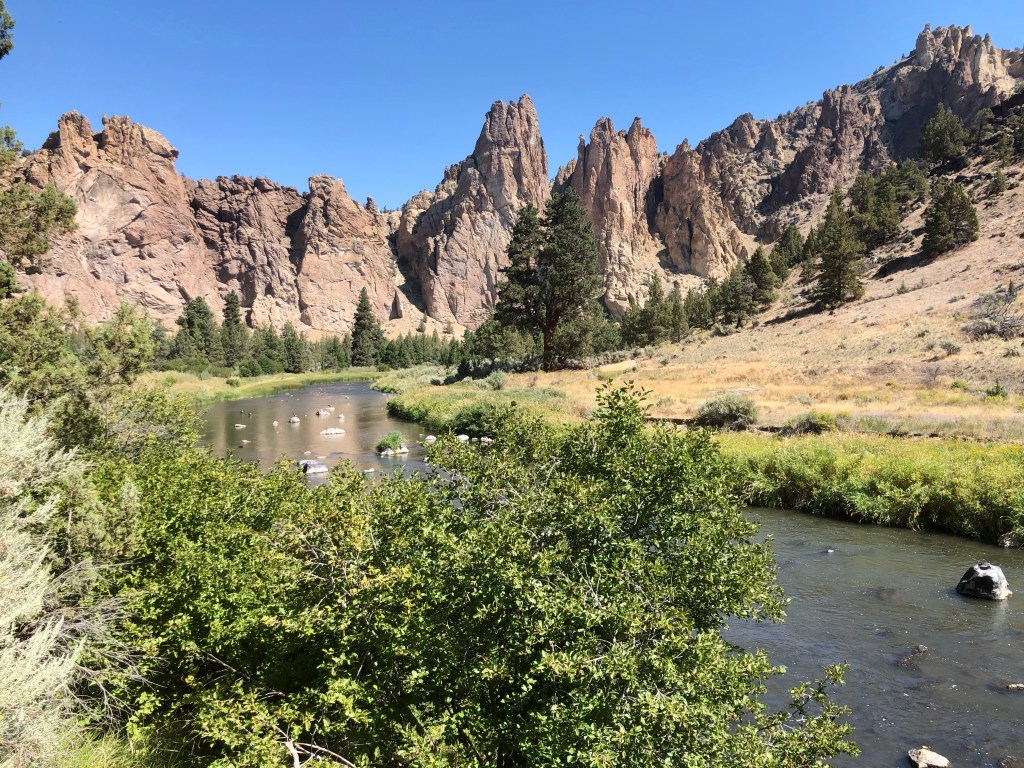
The trail drops down to the Crooked River which surrounds Smith Rock on three sides almost like a moat adorning an majestic castle. At this point the trail is easy following the awe inspiring walls of Smith Rock and along the River Trail, which is fabulous.

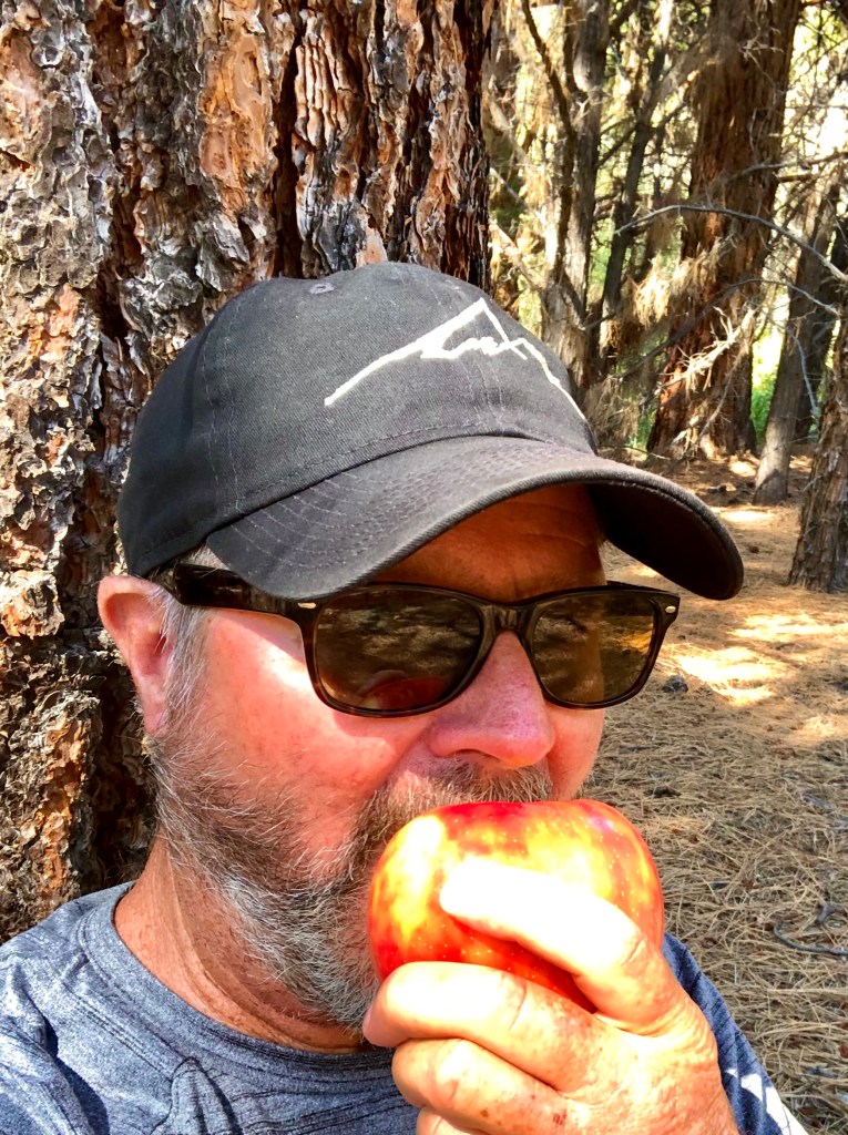
This was one of the hottest days of the year expecting to top out at 96 degrees. I was glad that I was getting an early start at 7:30 AM, which was most pleasant in the mid seventies, but by the time I completed my journey it was about 90.

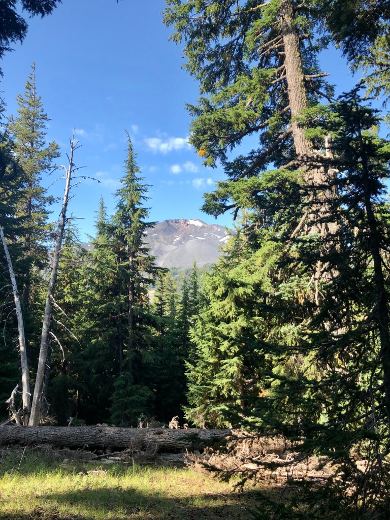
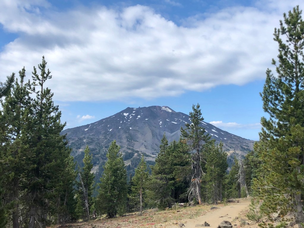
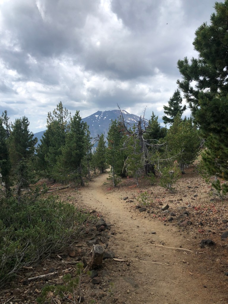
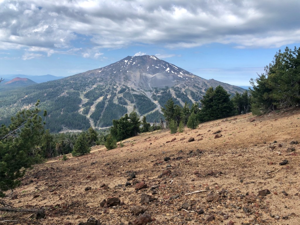
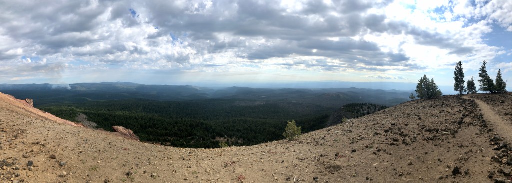
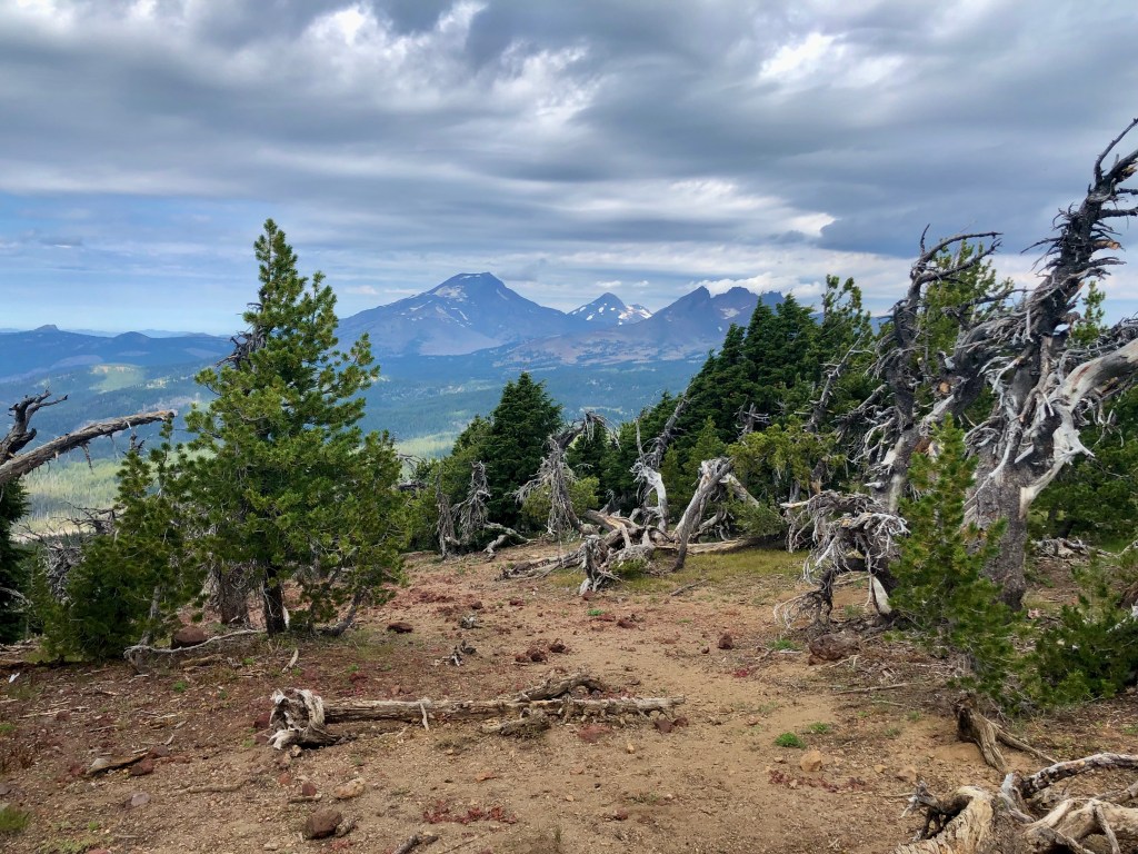
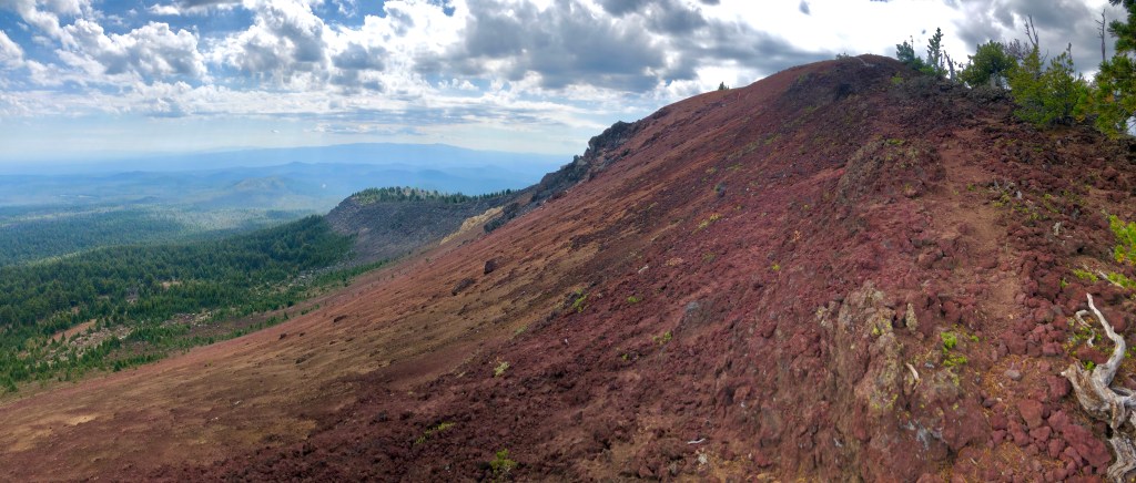
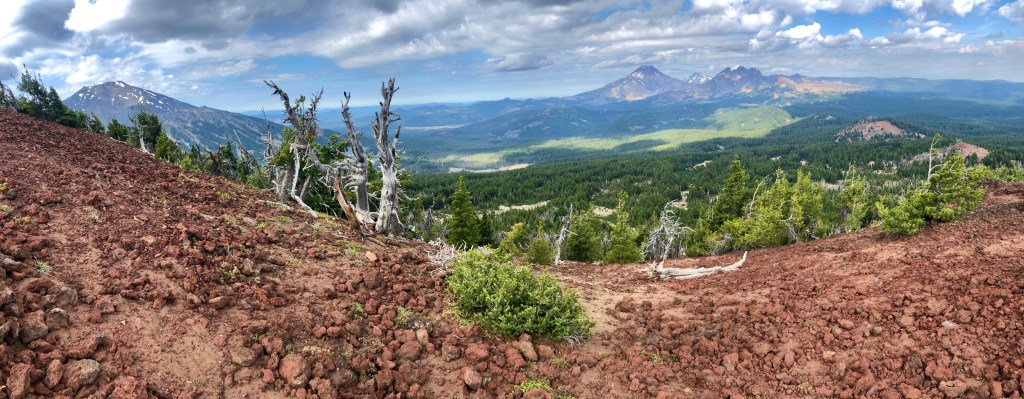
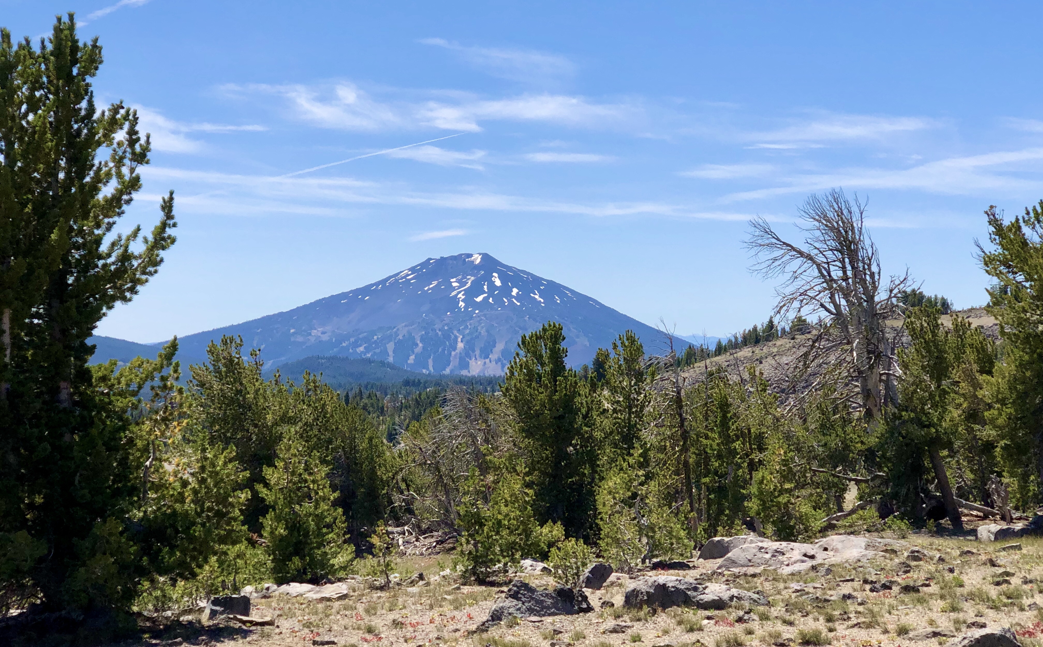
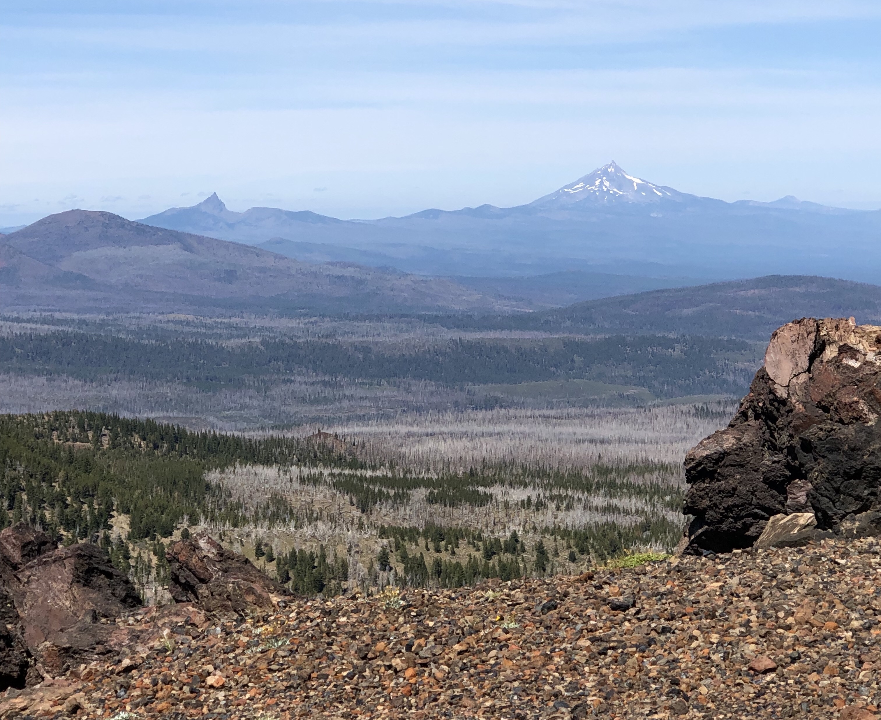
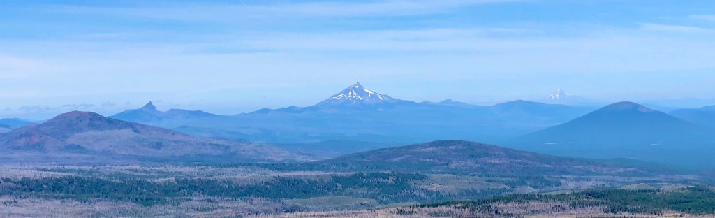
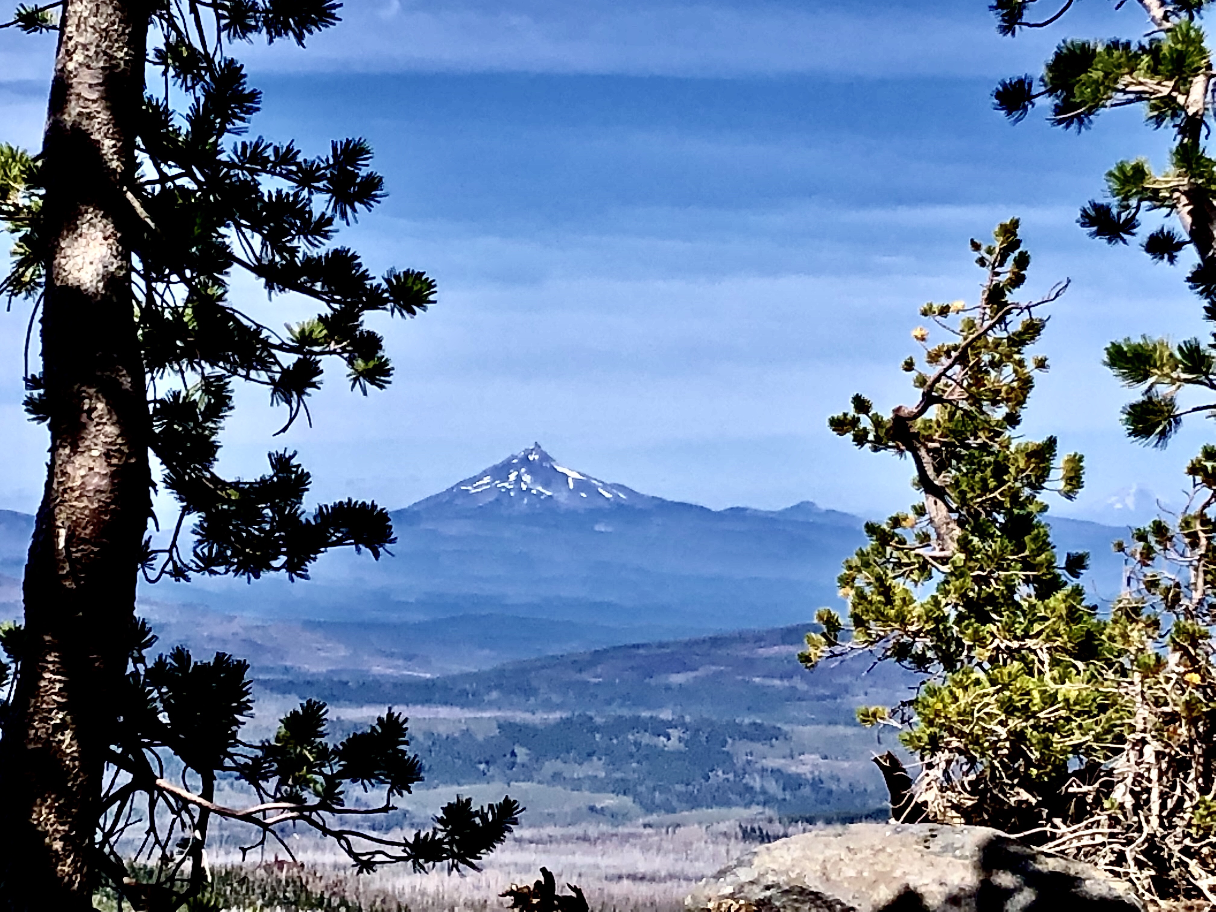
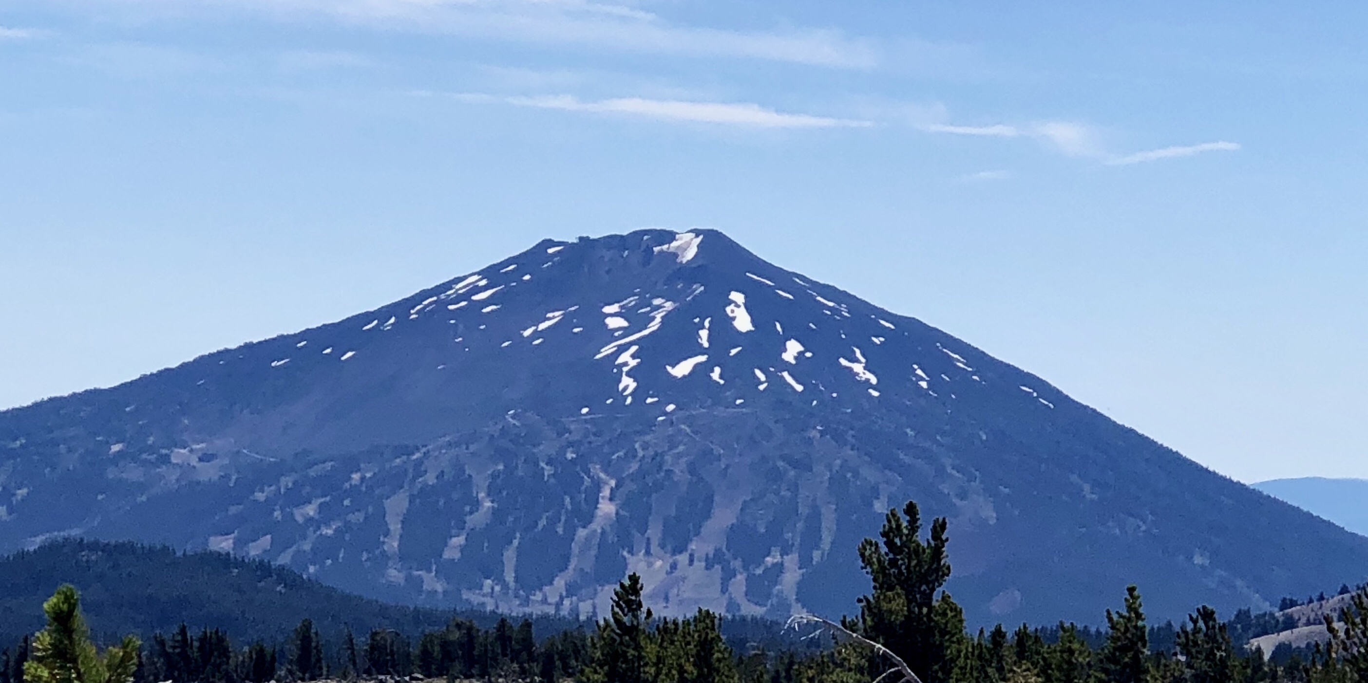
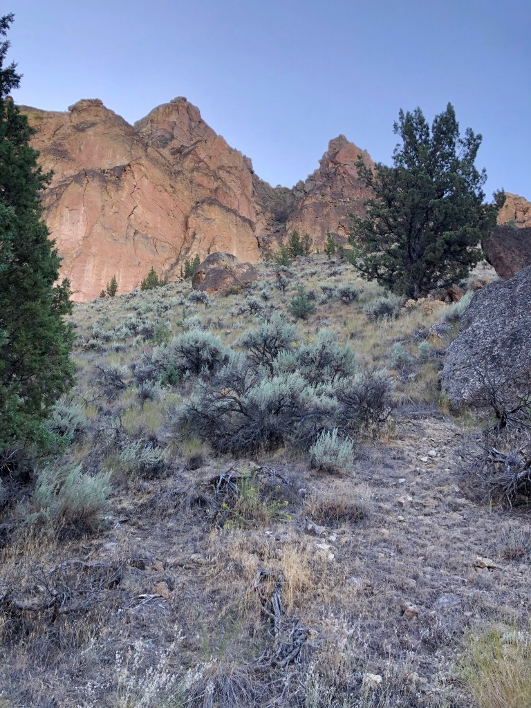
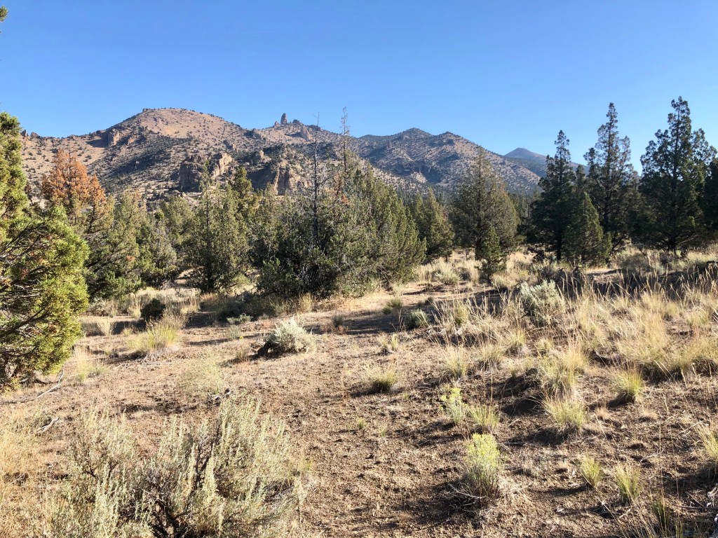
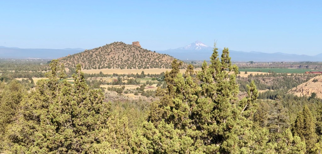
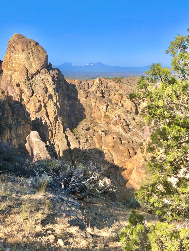
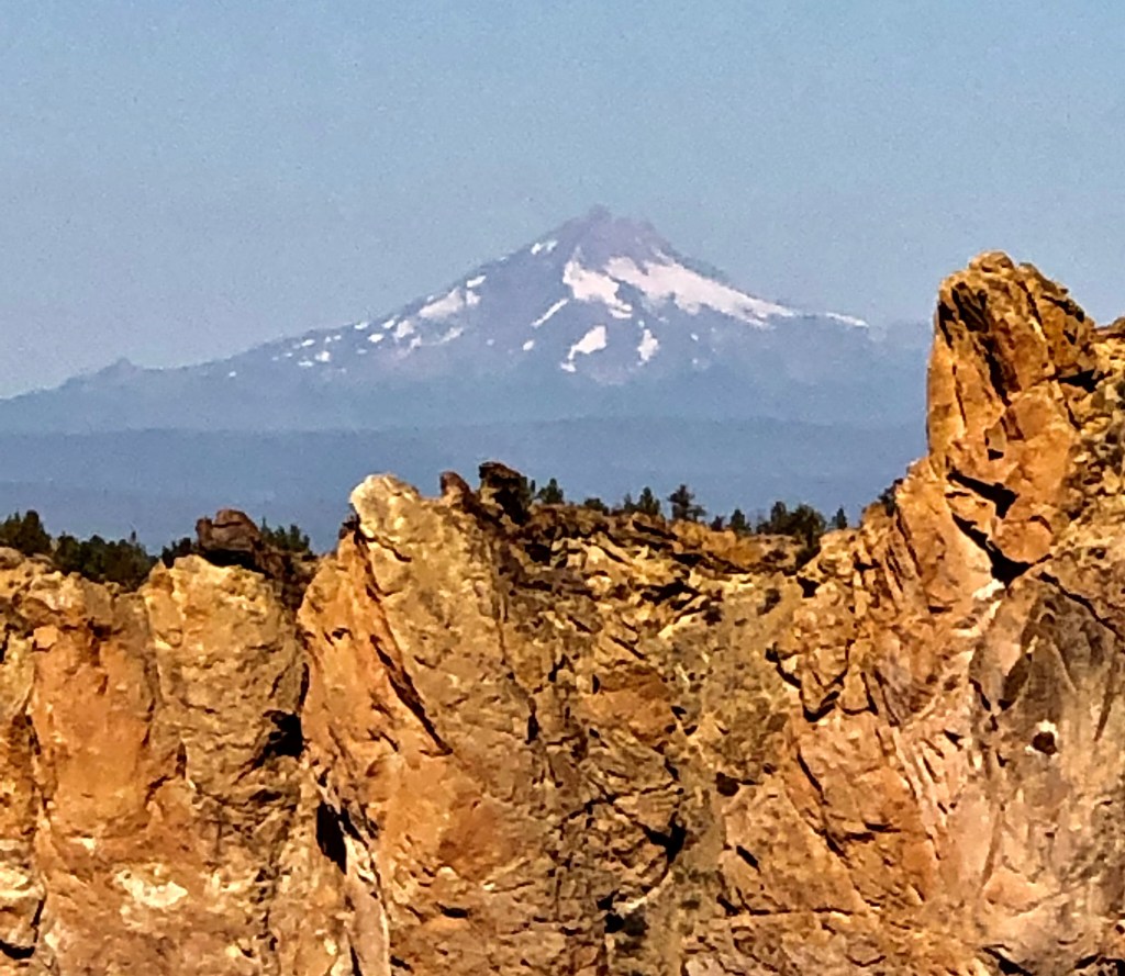
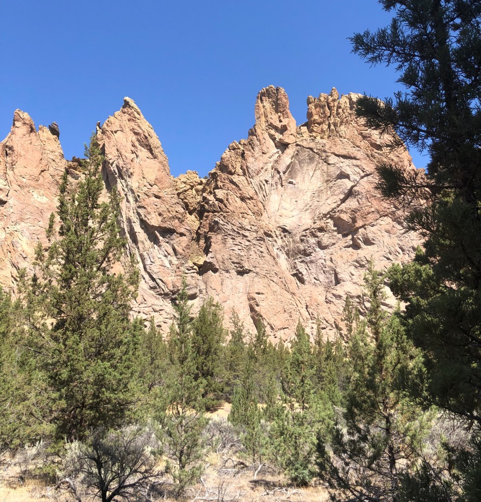
As I mentioned, the Crooked River wraps around Smith Rock. On the backside I headed up into a high desert scene. This is where the elevation starts going up and at a pretty quick rate with a number of switchbacks until you have a wonderful view of the river, the valley, Smith Rock, and the Cascade Mountains off in the distance. Just an spectacular view and with the wonderful rock faces and formations of Smith Rock it is simply a must do.

As I dropped in elevation the single track trail joined a double track road that was steep and not interesting, well… aside from the adjacent view of Smith Rock. My point is taking the Burma Road Loop clockwise is the way to go because going up a steep boring road with no switch backs would not be as pleasant, but working my way down it quickly with views of the valley and Smith Rock was perfect.

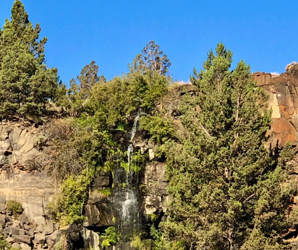
Once down to the valley floor there are more rock formations to take in, a wooded area, and then back to a delightful adventure along the Crooked River with ducks and geese, and a beaver. What an adventure filled with wonder… when you are Pursuing Balance Through Adventure.

Wow, Smith Rock, ya’ just gotta’ luv it! Adventure and Balance is what we are pursuing so FOLLOW, LIKE, COMMENT, and SHARE so together we can accomplish this type of harmony.

Roger Jenkins Pursuing Balance Through Adventure

Video Clips of Smith Rock ‘Pursuing Balance Through Adventure‘

Tam McArthur Rim Trail

SISTERS, OREGON

DESCHUTES NATIONAL FOREST- THREE SISTERS WILDERNESS

Activity: Day Hike

Date: August 24, 2019

5+ miles, 1,276’ elevation gain, 3 hour duration, rated Moderate

Tam McArthur Rim is a must do, but then again there are some many stupendous hikes in this area, can you really say that? One thing is for certain if you venture to the Rim the only thing that you will be sorry about is that you did not do this earlier.

I drug my friend and fraternity brother Marcus Walker away from his work, (as owner of Secure Storage with 6 locations including local Bend, and Redmond, btw no finer storage), to guide me to a captivating view of the Cascade Mountain Range as we clambered atop Tam McArthur Rim near Sisters Oregon.

The trailhead is across from Three Creek Lake, which looks like a delightful place to spend the day boating, swimming or fishing. We were entering into the Three Sisters Wilderness area of the Deschutes National Forest and we were able to fill out the necessary permit right at the trailhead. It is a moderate hike through green pines and when you get to the top, an elevation of 7,732’, you have a multitude of mountains to enjoy. Mt. Bachelor, Broken Top, Three Sisters, Mt Washington, Three Fingered Jack, Mt Jefferson, and Mt Hood, on display in all their splendor.

I whole hardly recommend this hike. I need to mention the top is snow free only a few months out of the year, so you will need to plan accordingly, but in late August it was a marvelous hike.

Thanks for joining Marcus and I ‘Pursuing Balance Through Adventure’ on Tam McArthur Rim in Sisters, Oregon with an outstanding views of the Cascades. You do not want to miss the next episode of Oregon Hiking so take a moment and LIKE, COMMENT, FOLLOW, AND SHARE.

Roger Jenkins, Pursuing Balance Through Adventure

It was a little windy, but Marcus, after complaining about me dragging him up the mountain on the opening day of college football goes on to name the Cascade Mts in view from the Rim.