
Silver Falls State Park
Activity: Camping, Day Hike, Scenic Views, Chasing Waterfalls
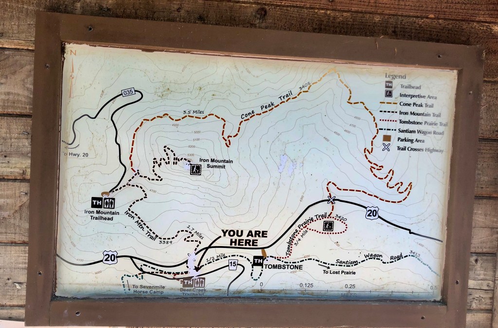
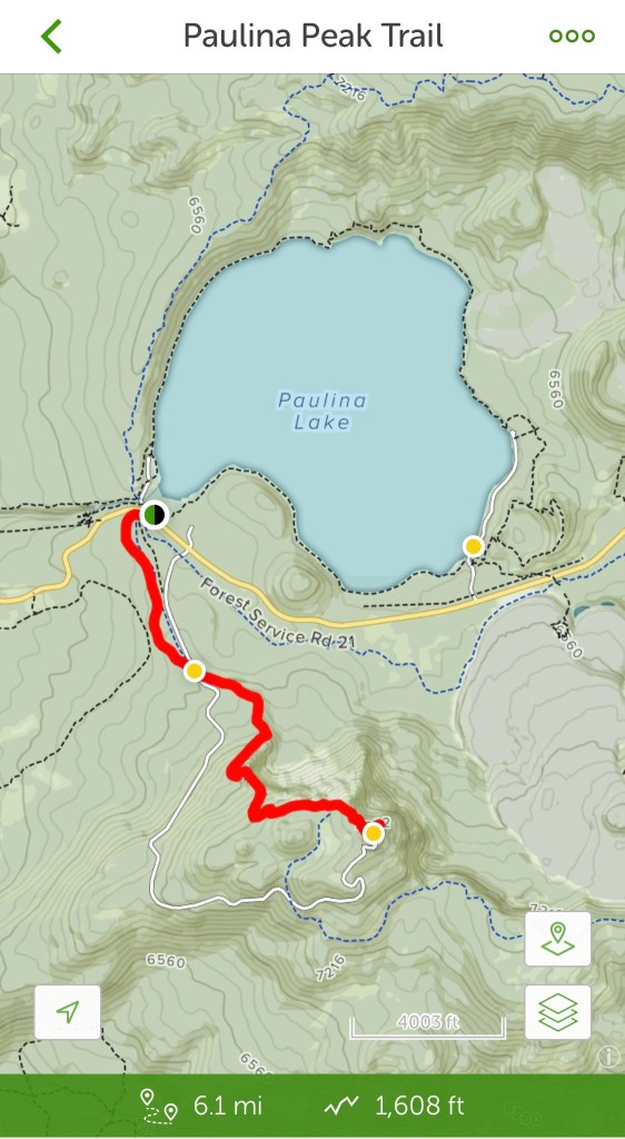
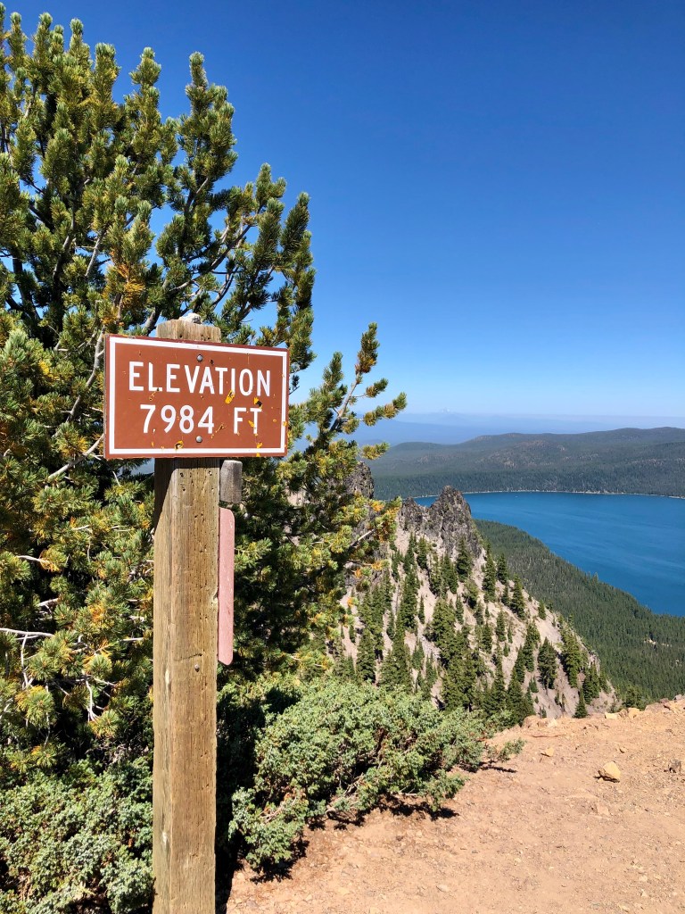
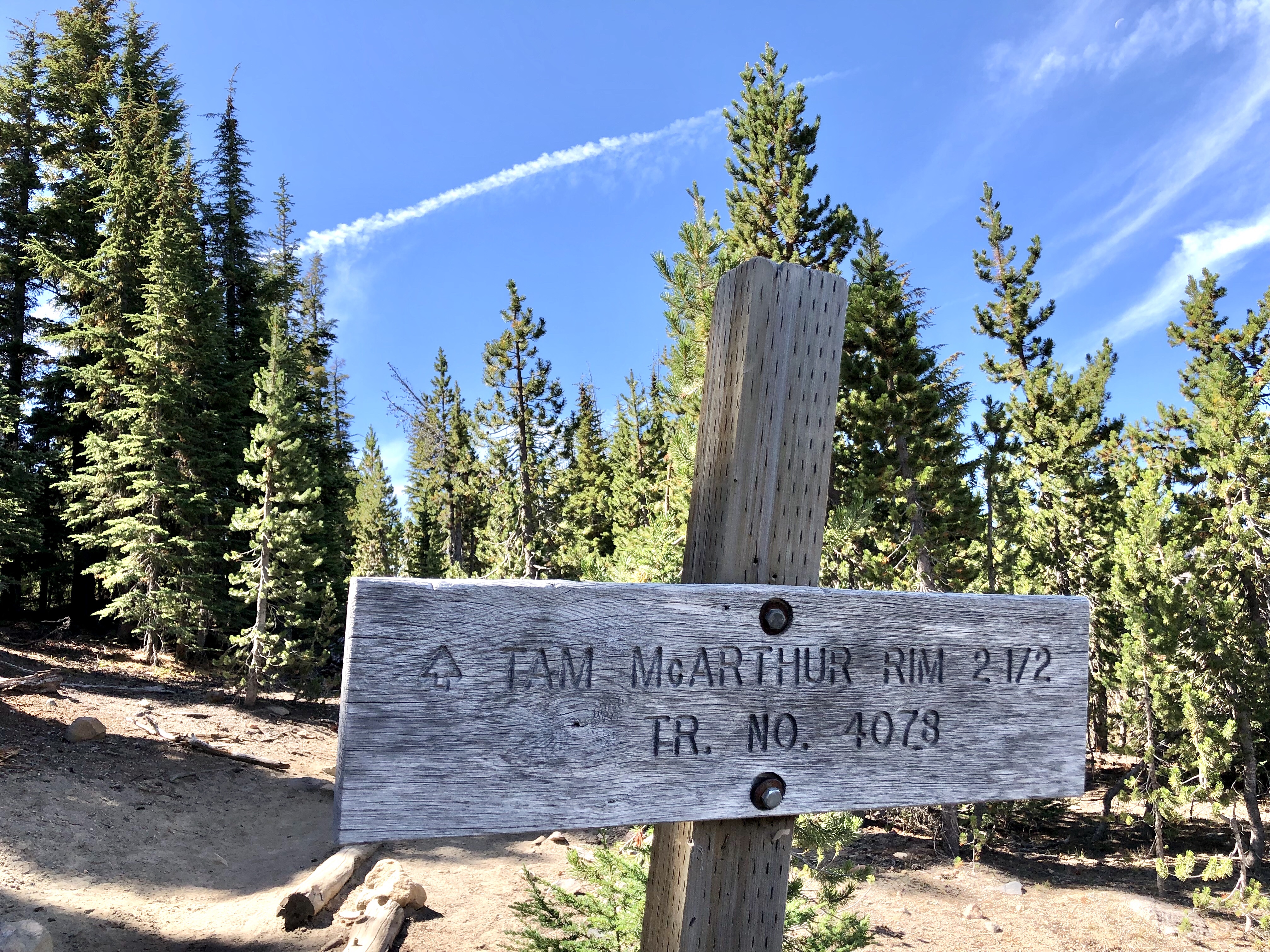
7.2 miles, 1224’ elevation gain, 2.5 hour duration, rated Moderate
Date: May 25 & 26, 2022
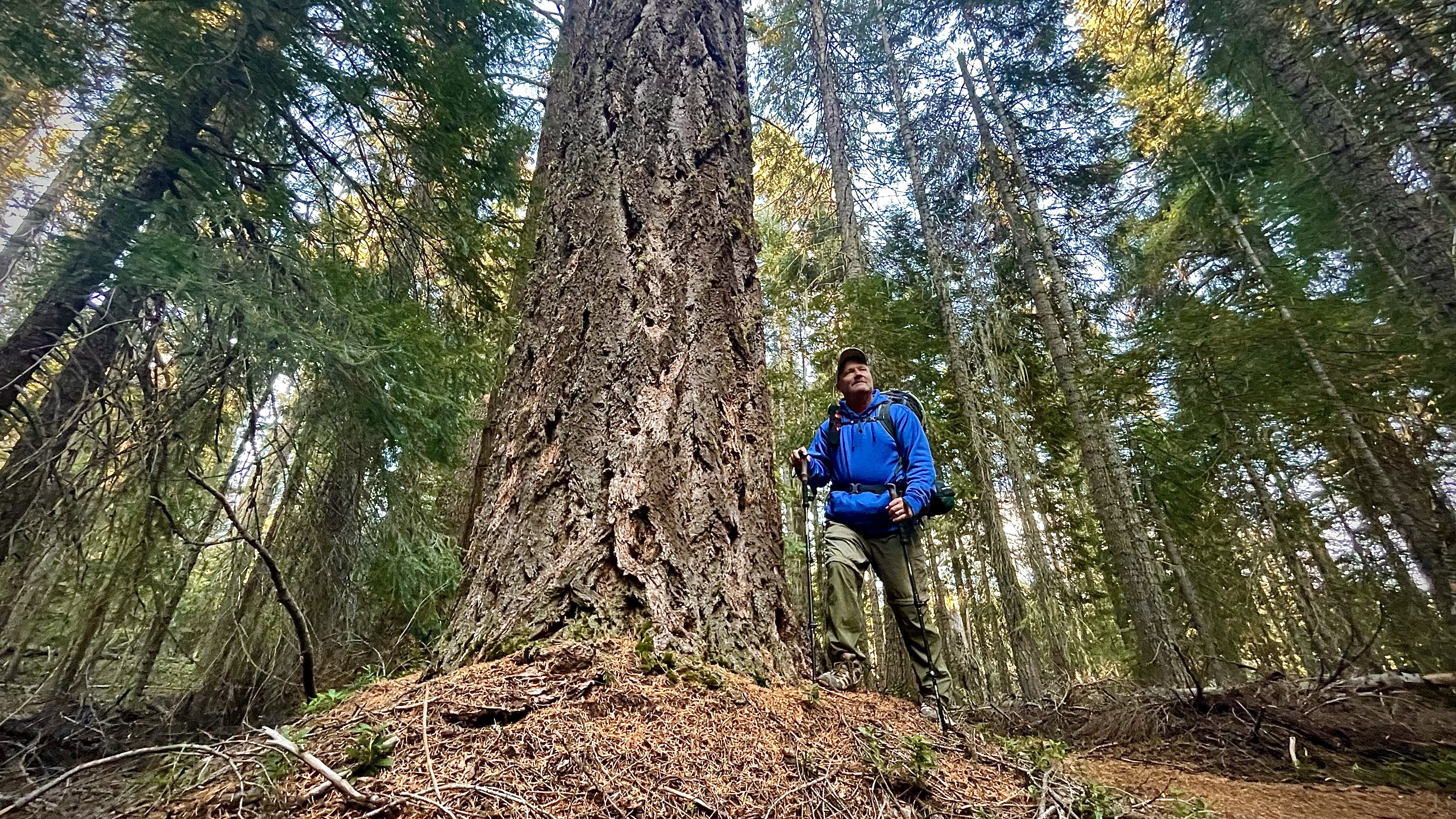
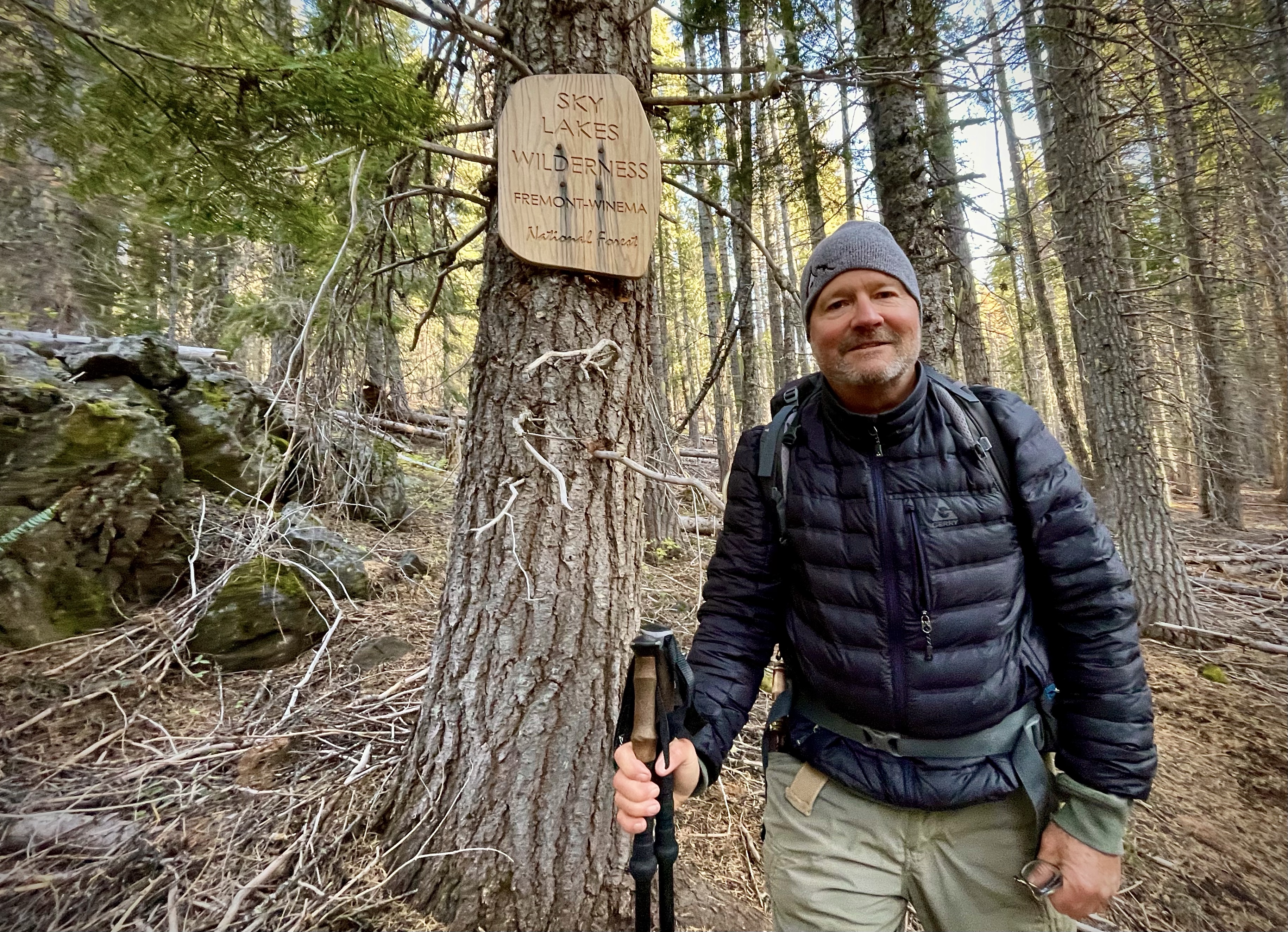
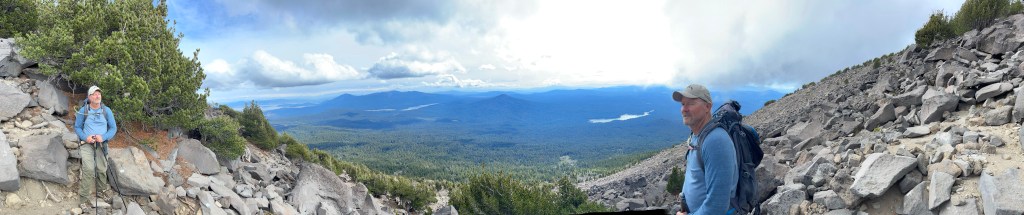
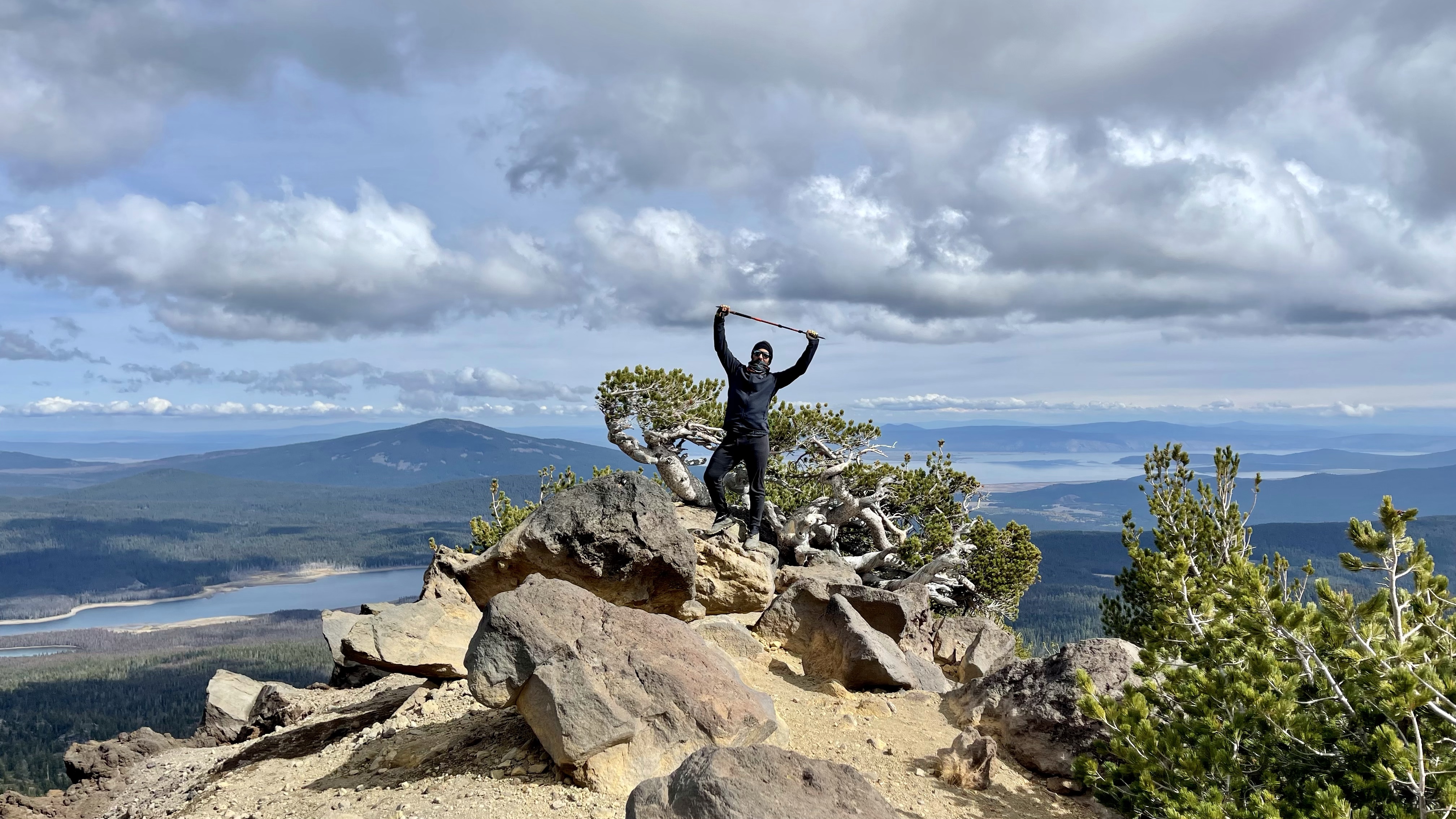
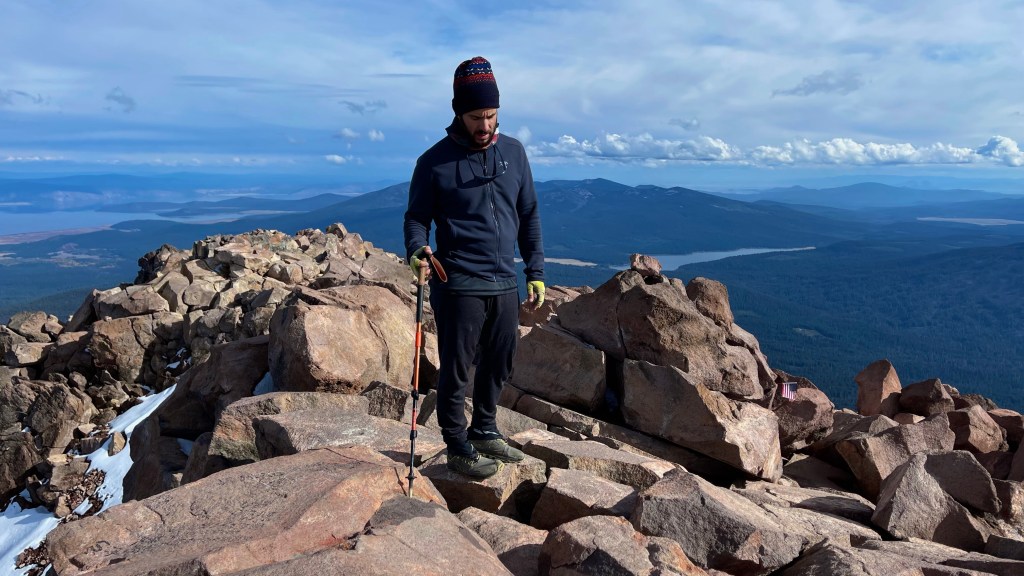
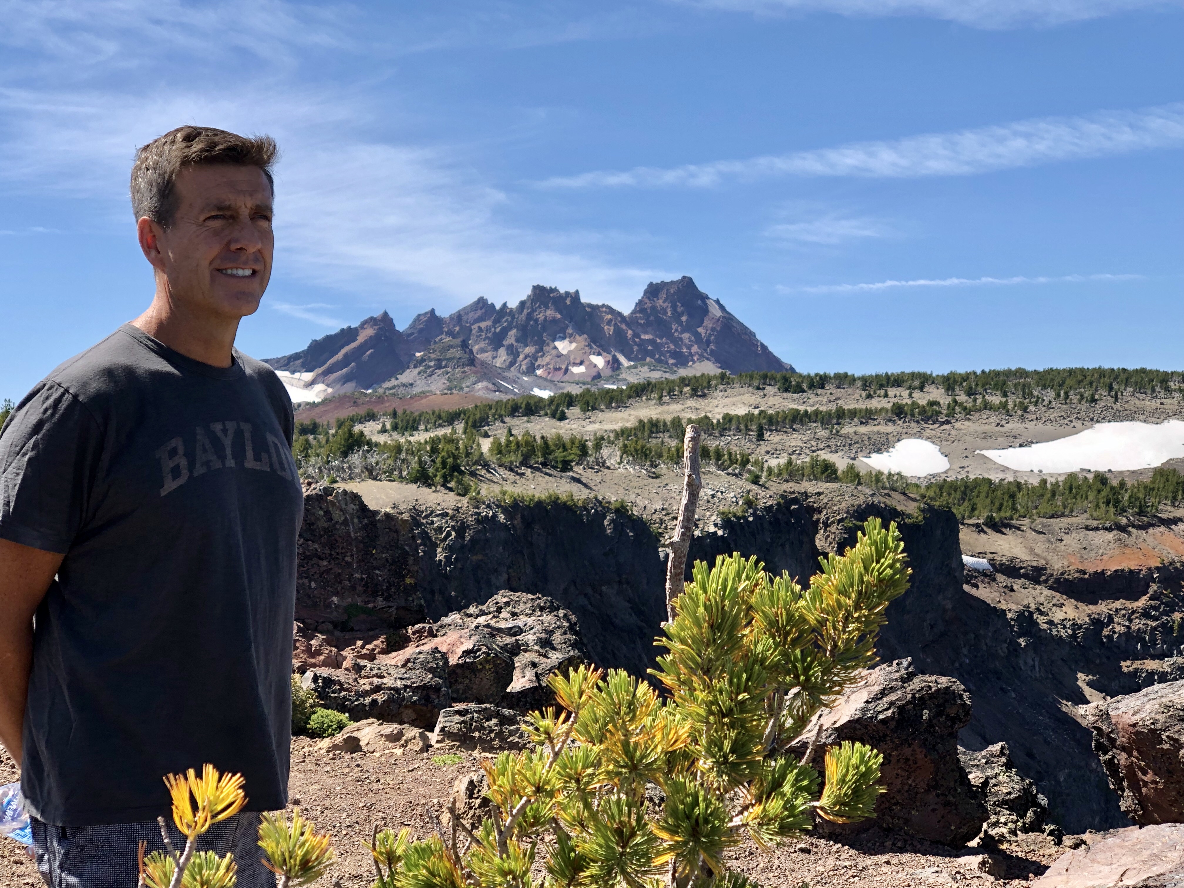
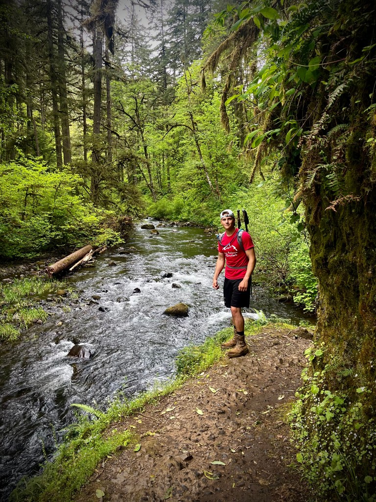
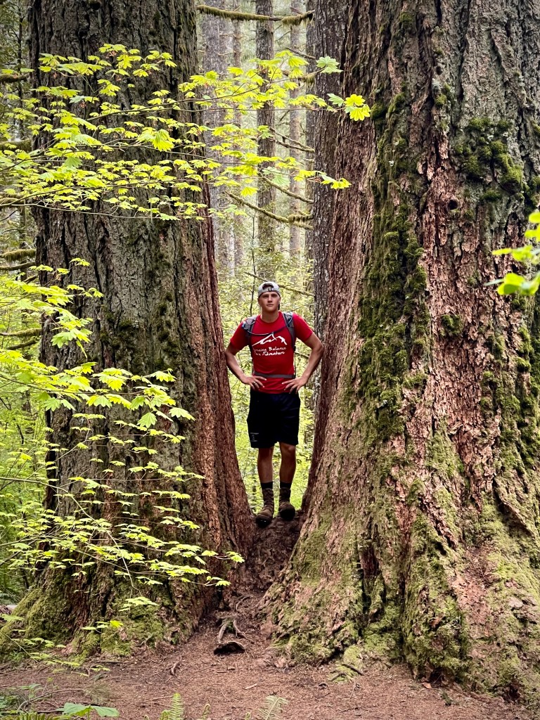
Silver Falls was a stop we made on our Road Trip from SoCal to Washington. It is outside of the city of Silverton and not far from Salem. I had been there once or twice as a boy and never forgot it and I wanted my son Alec and daughter Marina to experience it’s magic.
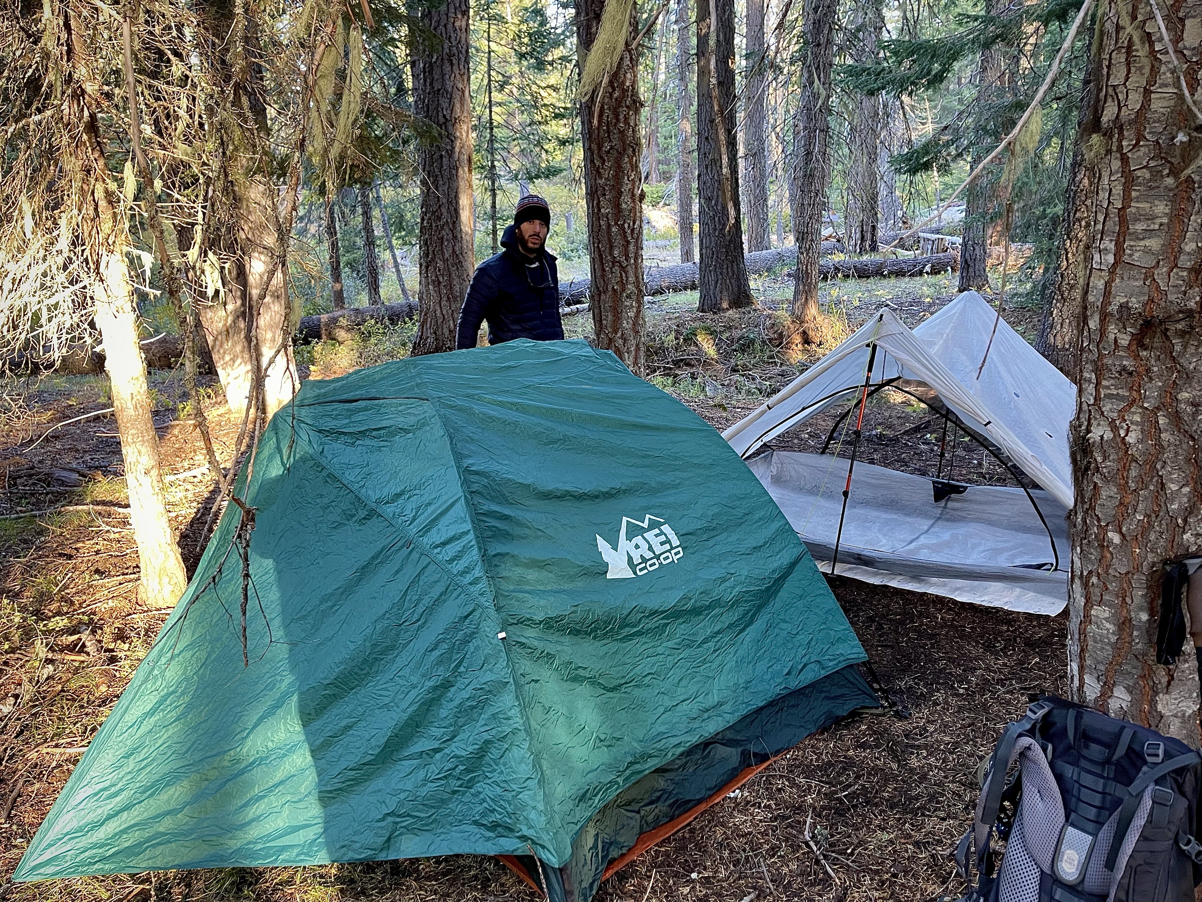
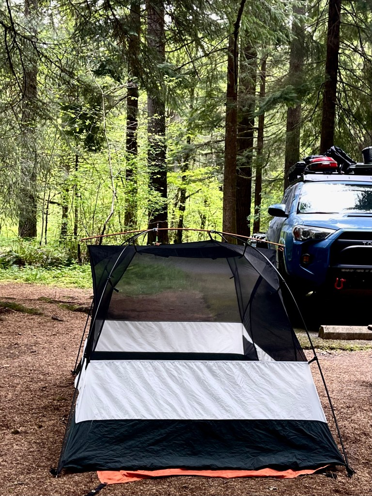
We were short on time and made a push from one last outing at Yosemite all the way to Silver Falls not arriving at the Silver Falls State Park Campgrounds until well past quiet time. I think we woke up half the campground as we pulled my Toyota 4Runner TRD Pro into our reserved camp spot. I know that we woke our neighbor as it took us awhile to get situated and set up the tent. He asked, “Are you about done?” – Sorry…
About an hour or so after zipping up my sleeping bag I heard a noise just outside my tent. I wiped the sleep from my eyes and though maybe that guy is really mad because he is right outside the fly of my tent. I got the flashlight and unzipped the tent not sure what was going on to find myself eye to eye with a cute little raccoon. He was cute for about 5 seconds as he had eaten a hole in our food bag and was munching away. I tried to shoo him away and saw that there were two of them and they were right in my face and they were not backing off, but inching forward despite me waving the flashlight at them. They were not worried about me at all rather each other. I did not know that raccoons growled, but it started as a low guttural growl and grew into a loud hissing crazy thing. About another hour after that disturbance all hell broke loose a few camp spots away and it sounded like World War Raccoon had just broke out with a whole gang of raccoons going at each other.
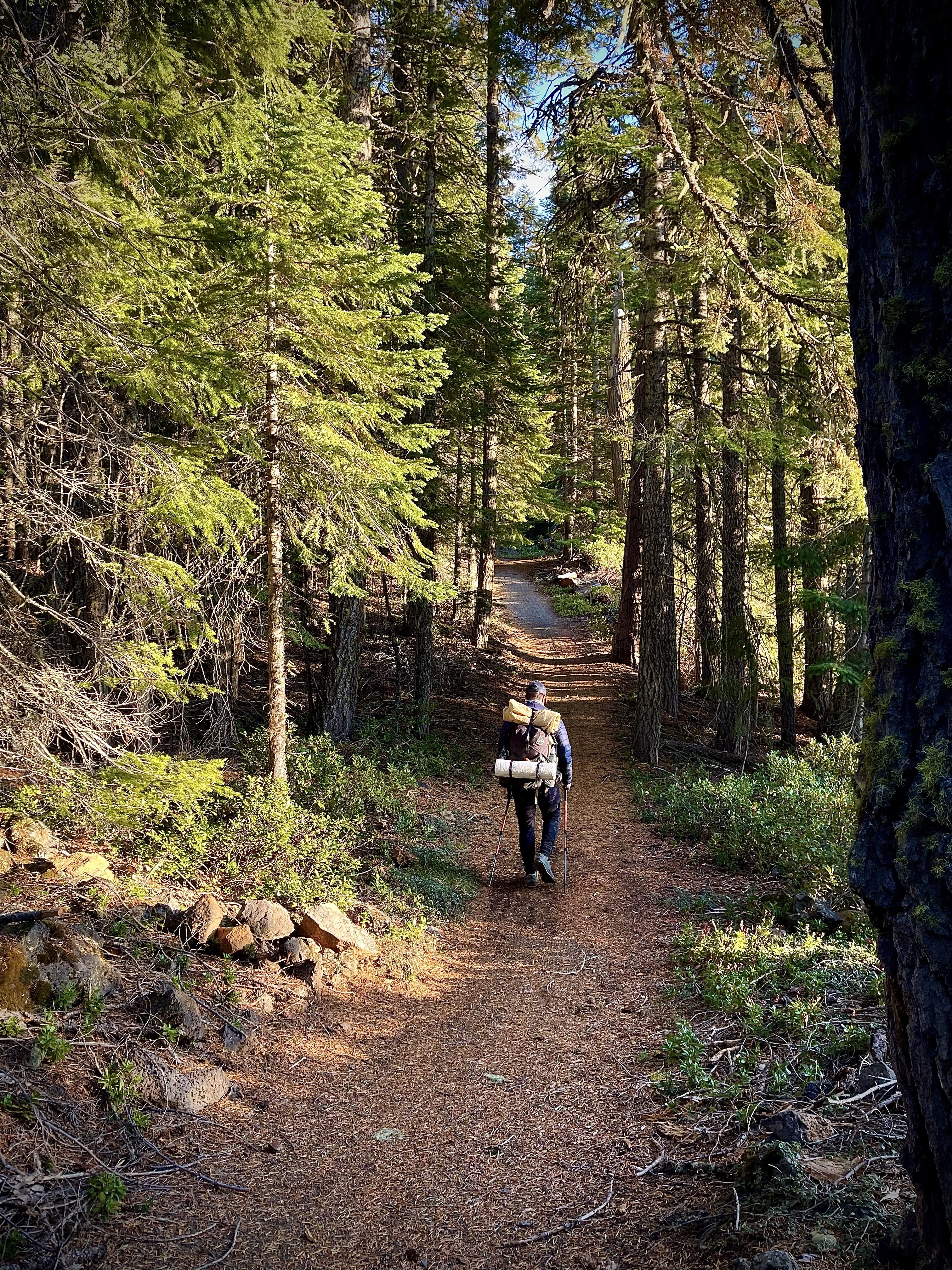
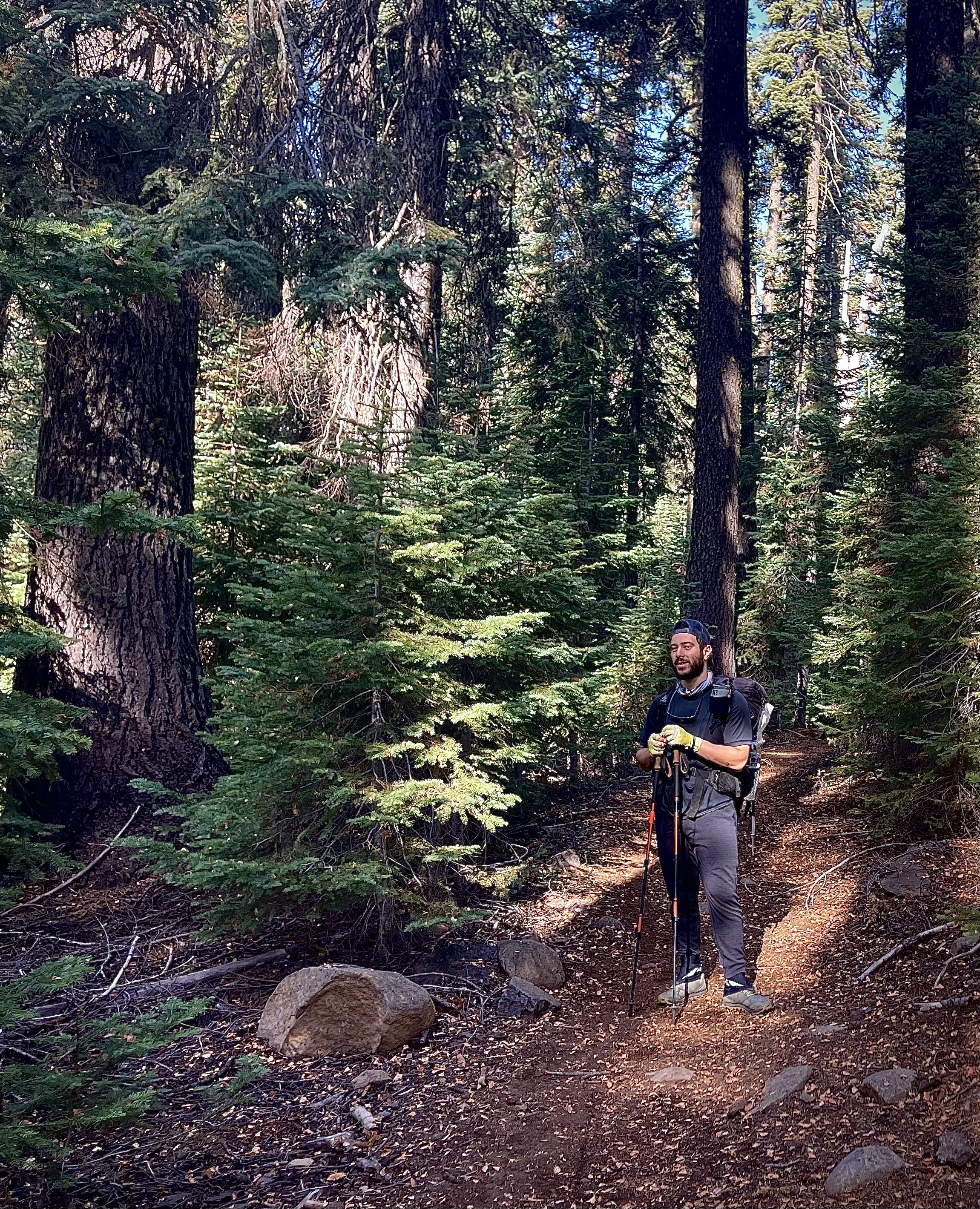
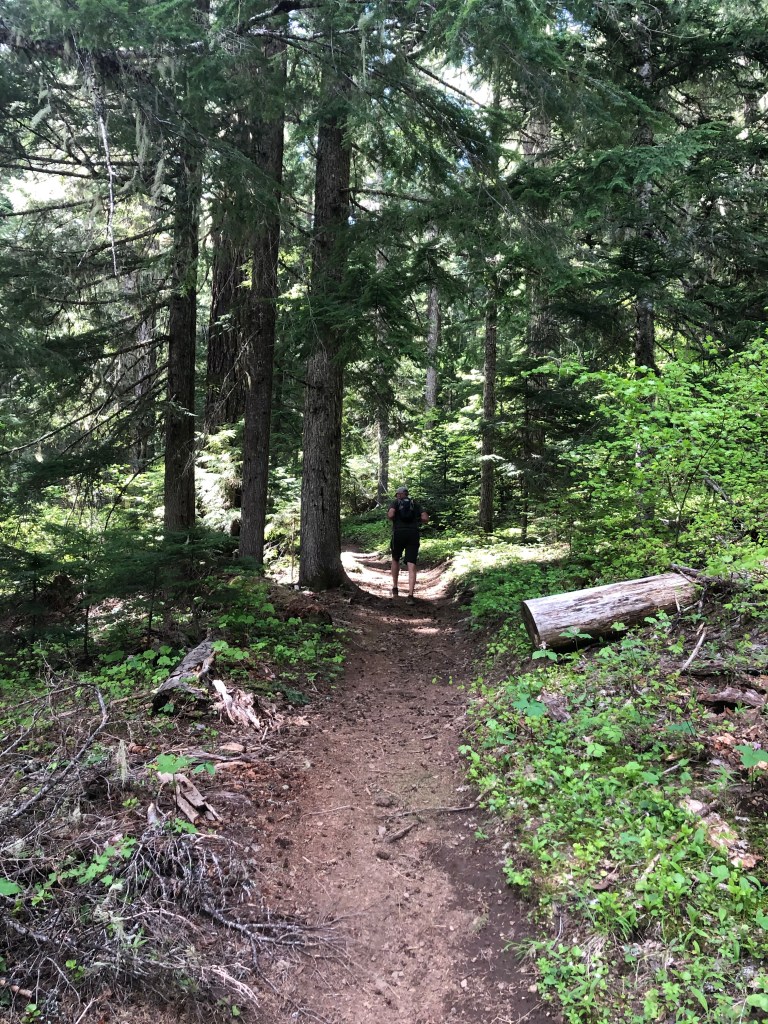
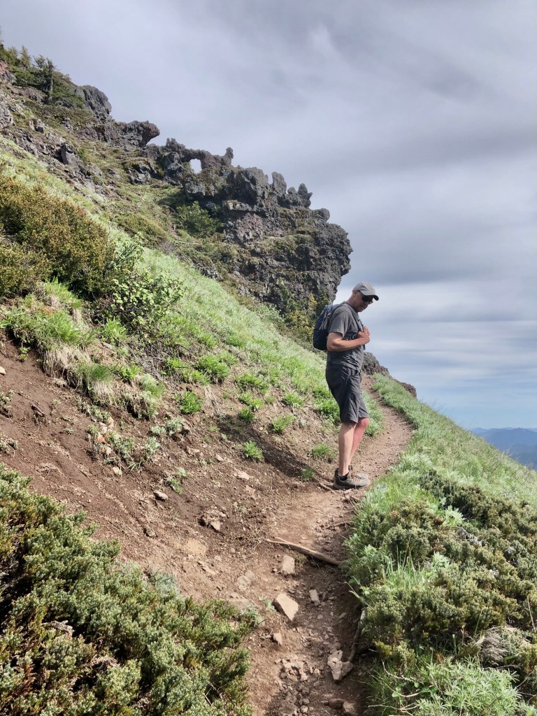
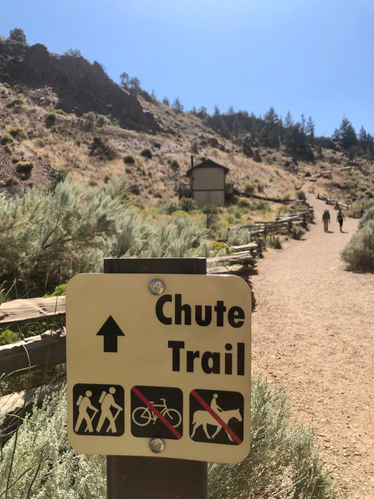
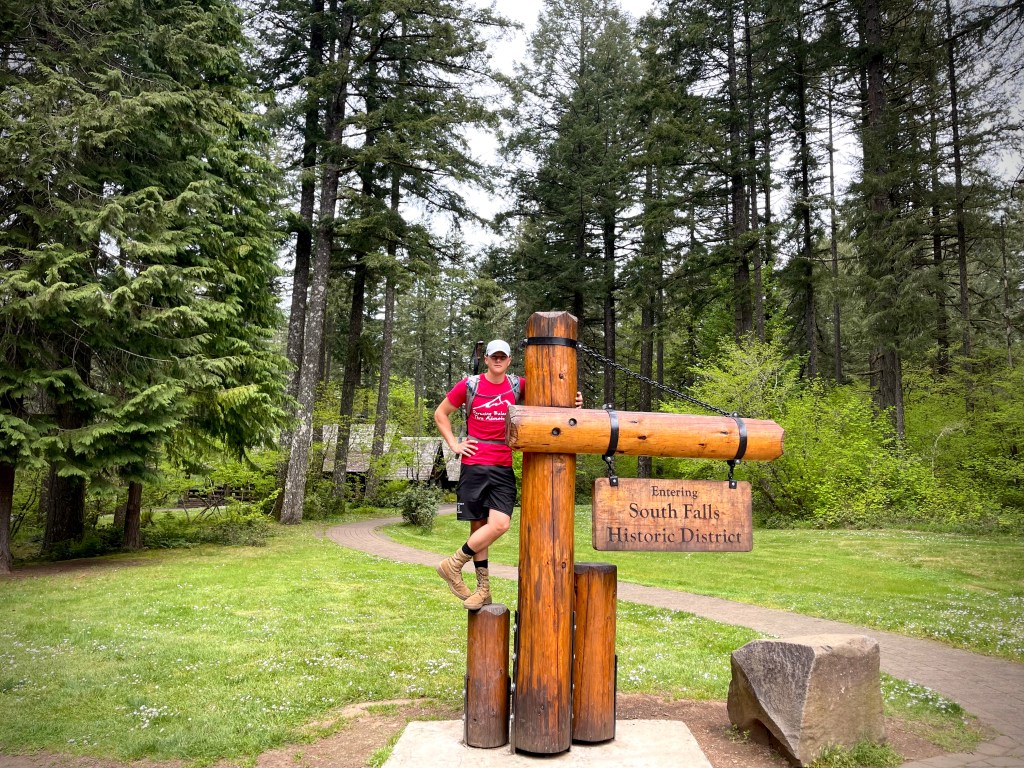
After a long drive and lots of activities the only thing that was going to get my kids up was camp grill breakfast. After eating, getting cleaned up and packed up we headed for the falls.

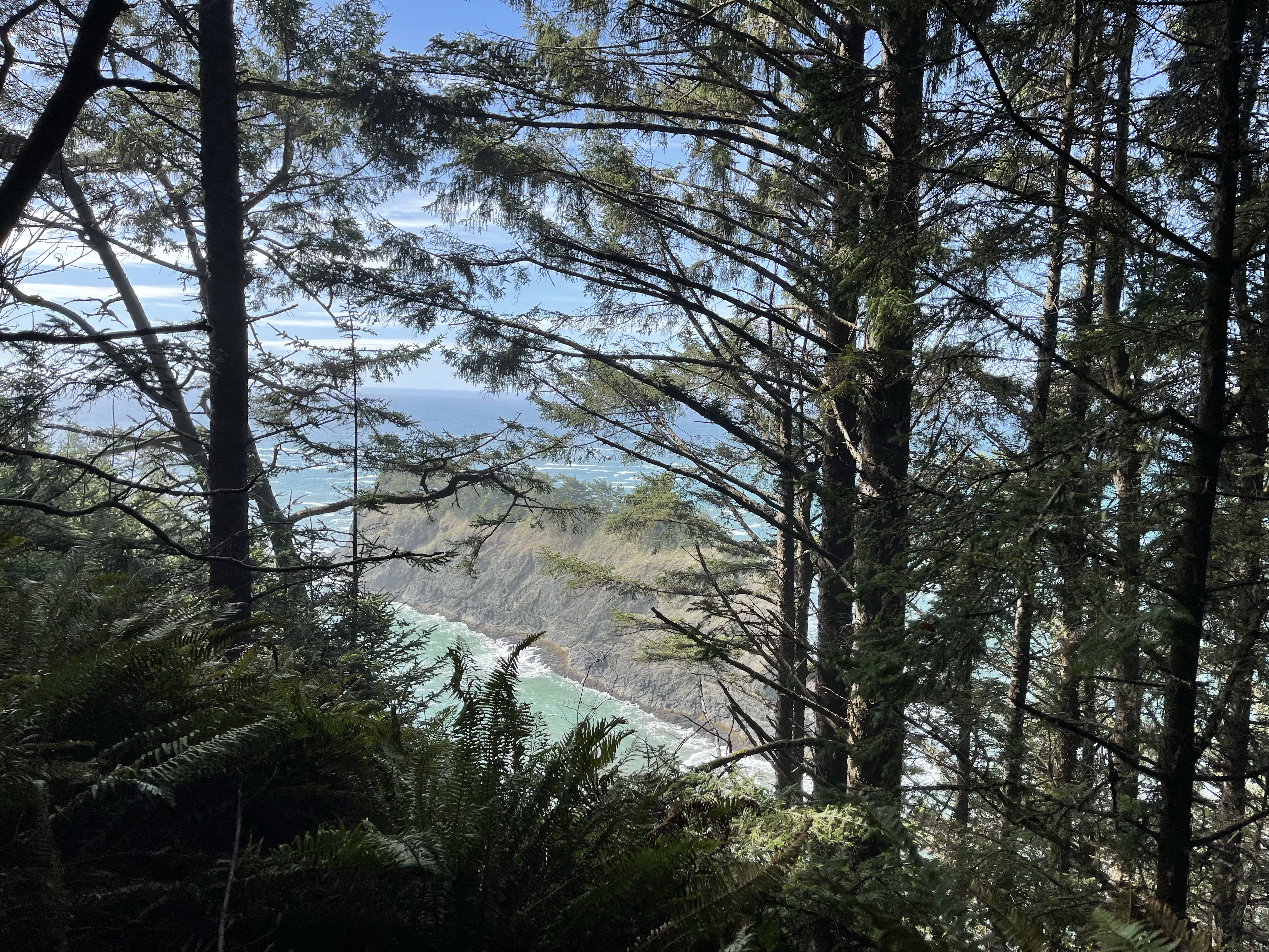
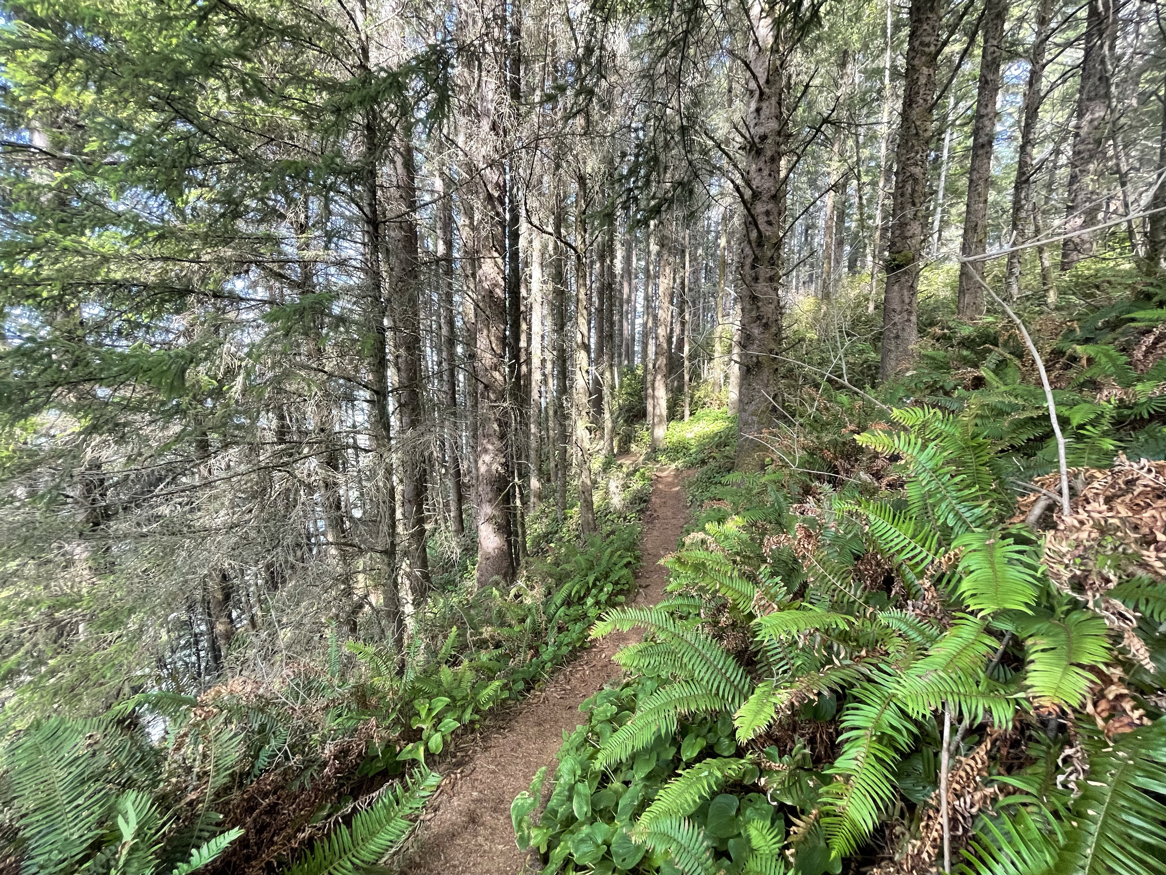
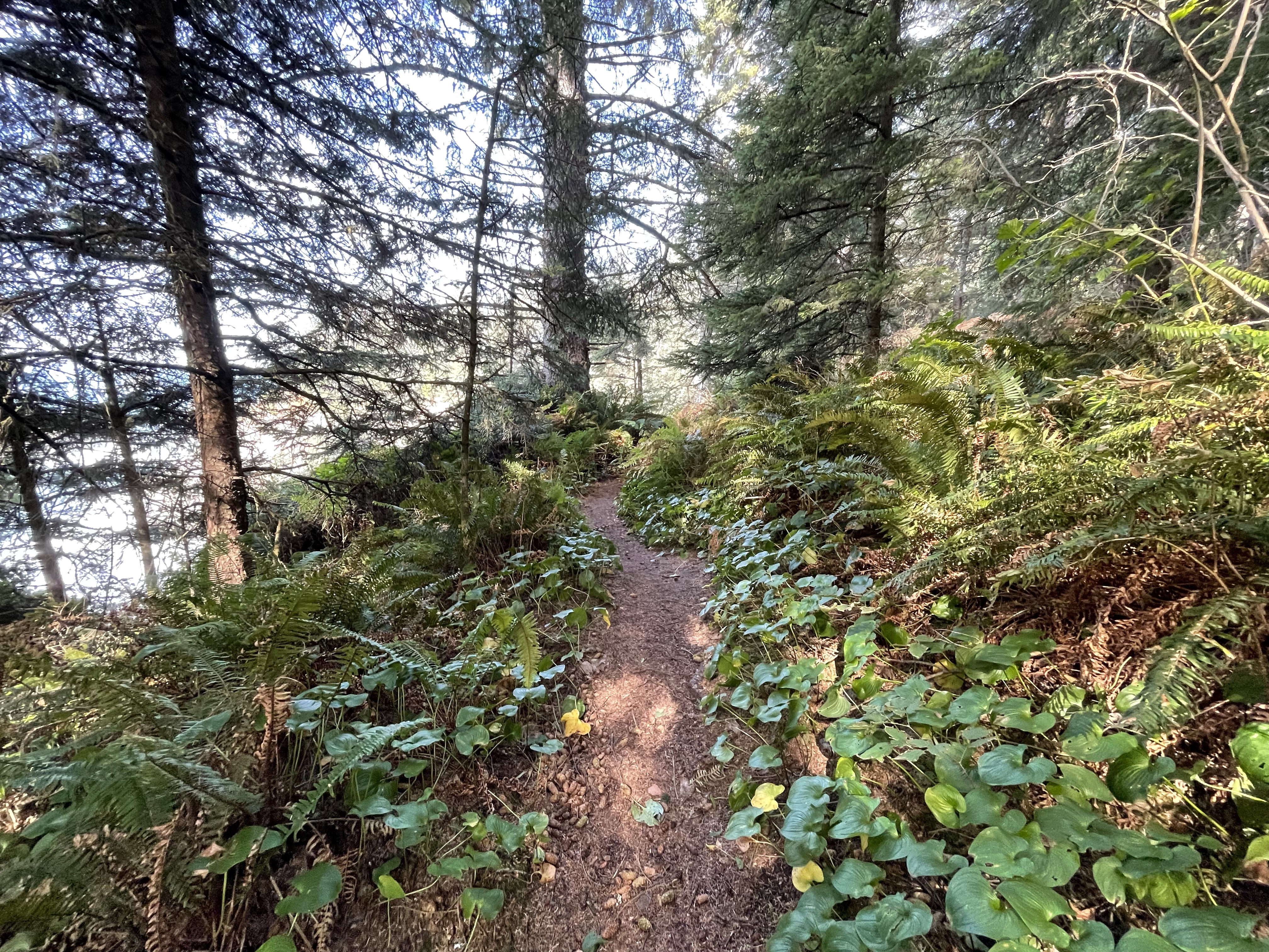
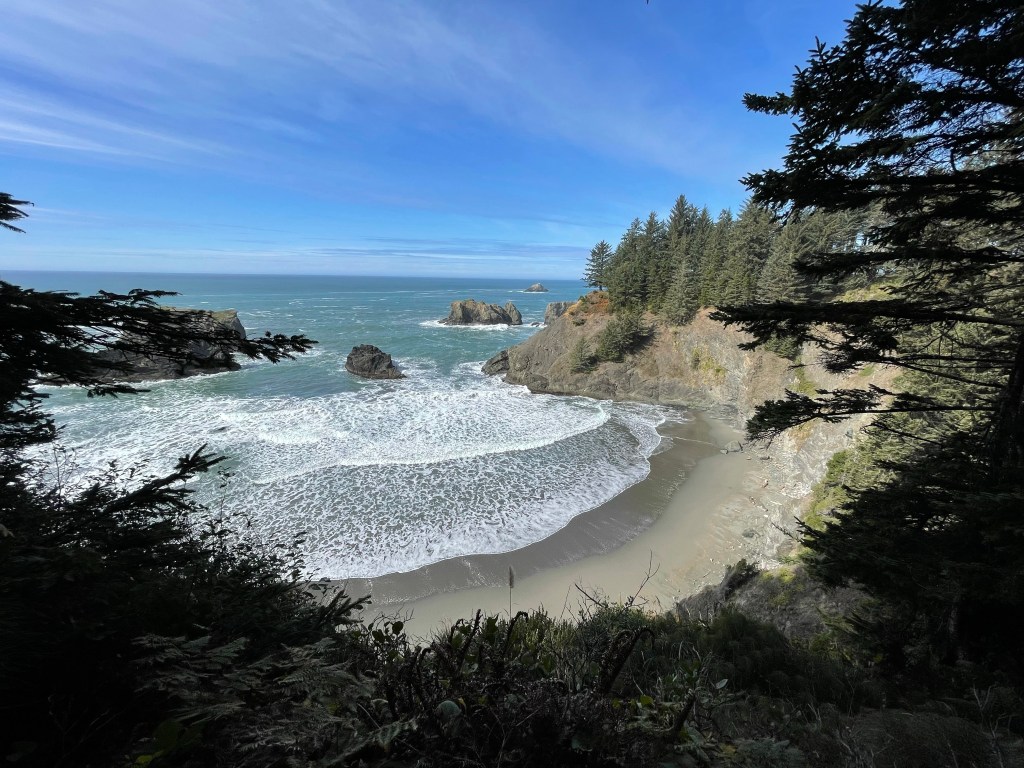
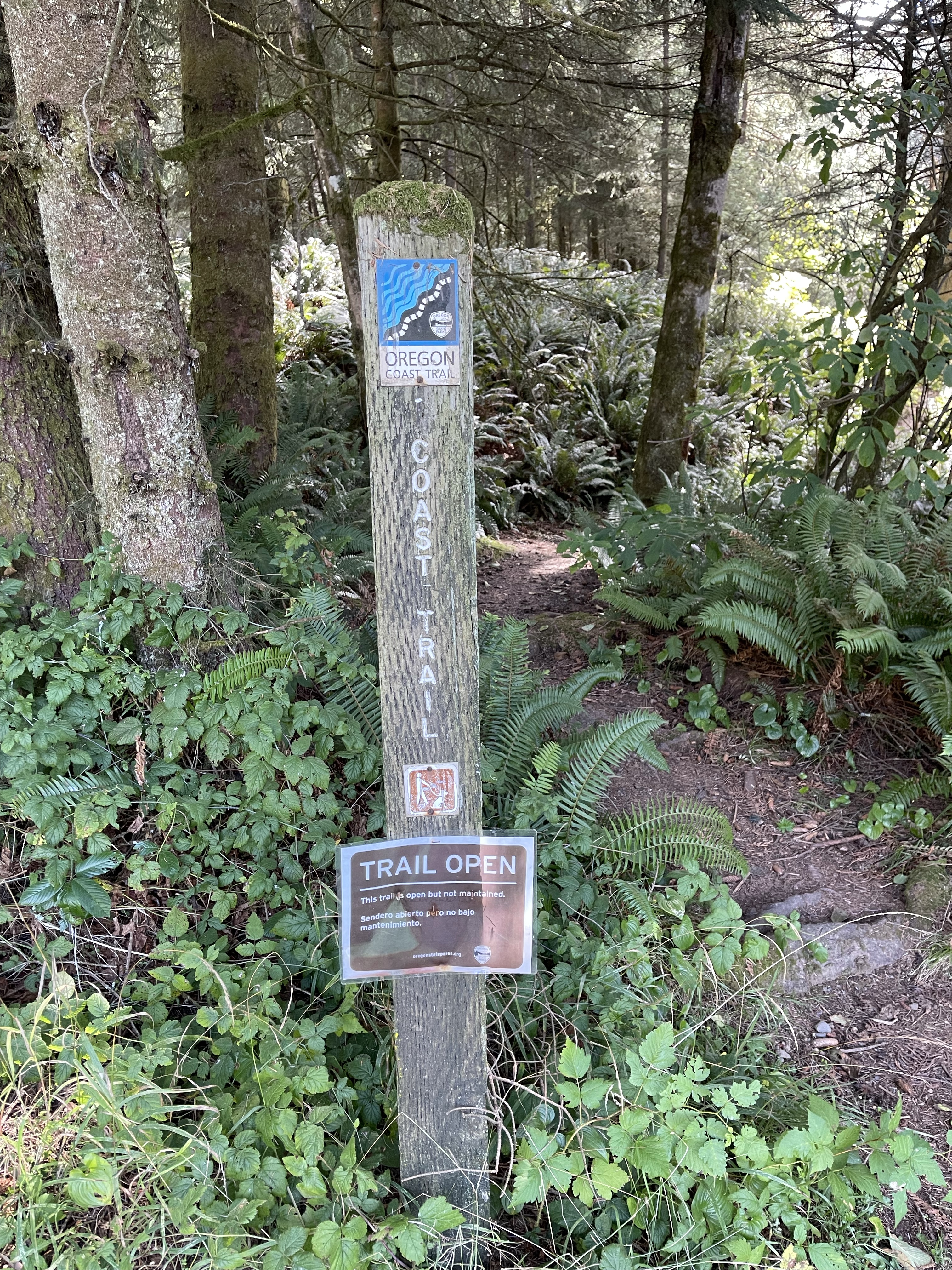
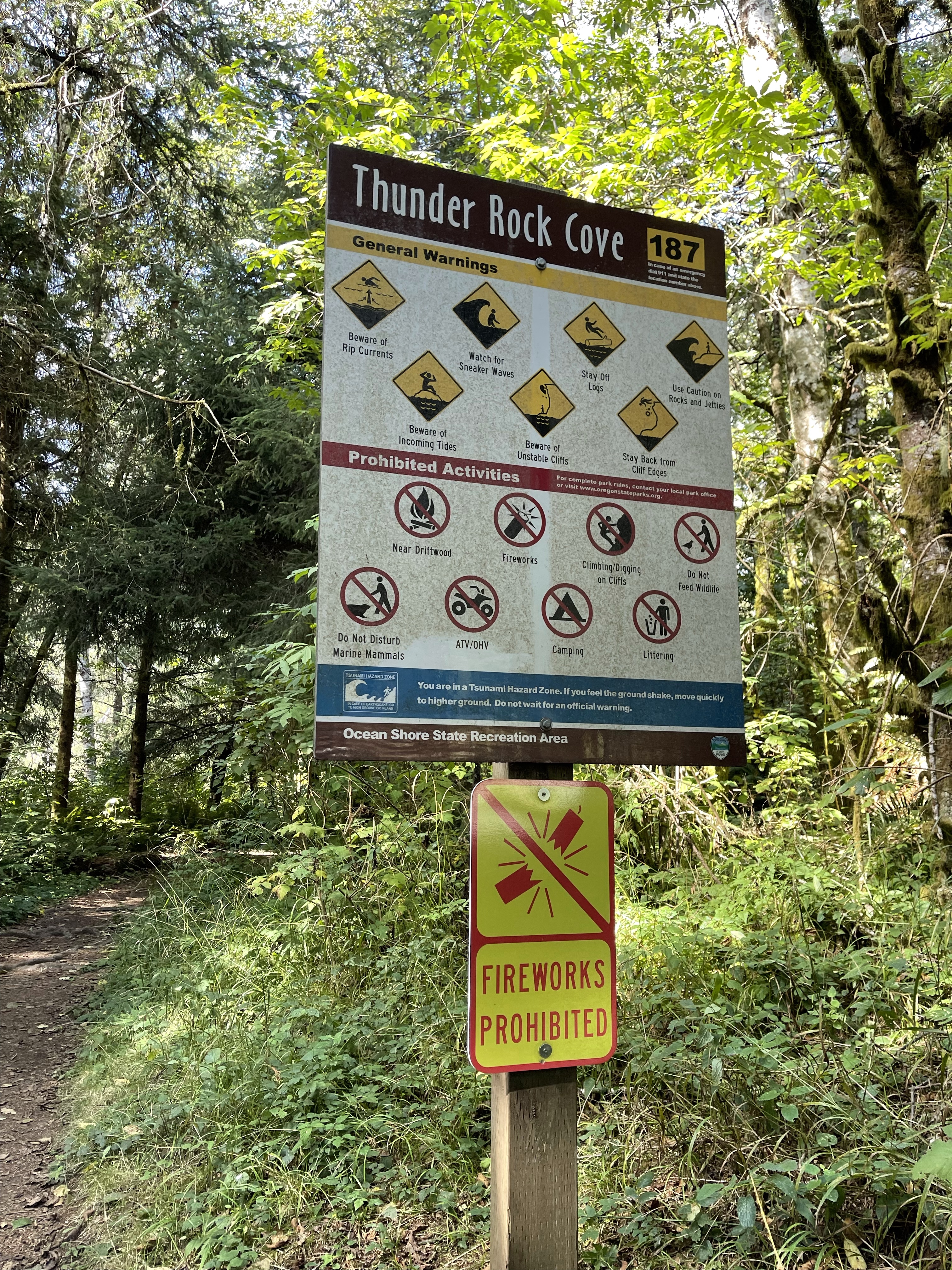
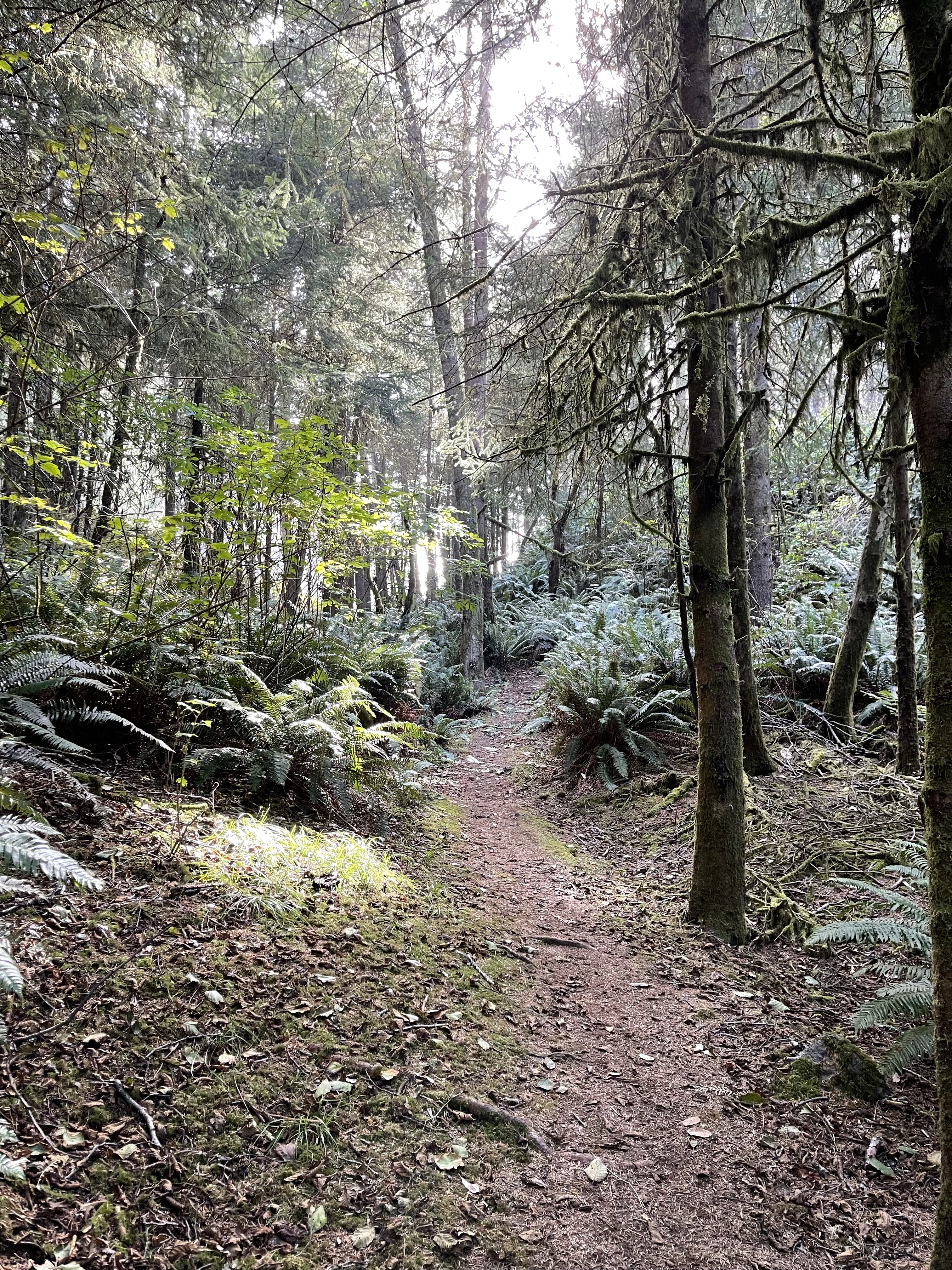
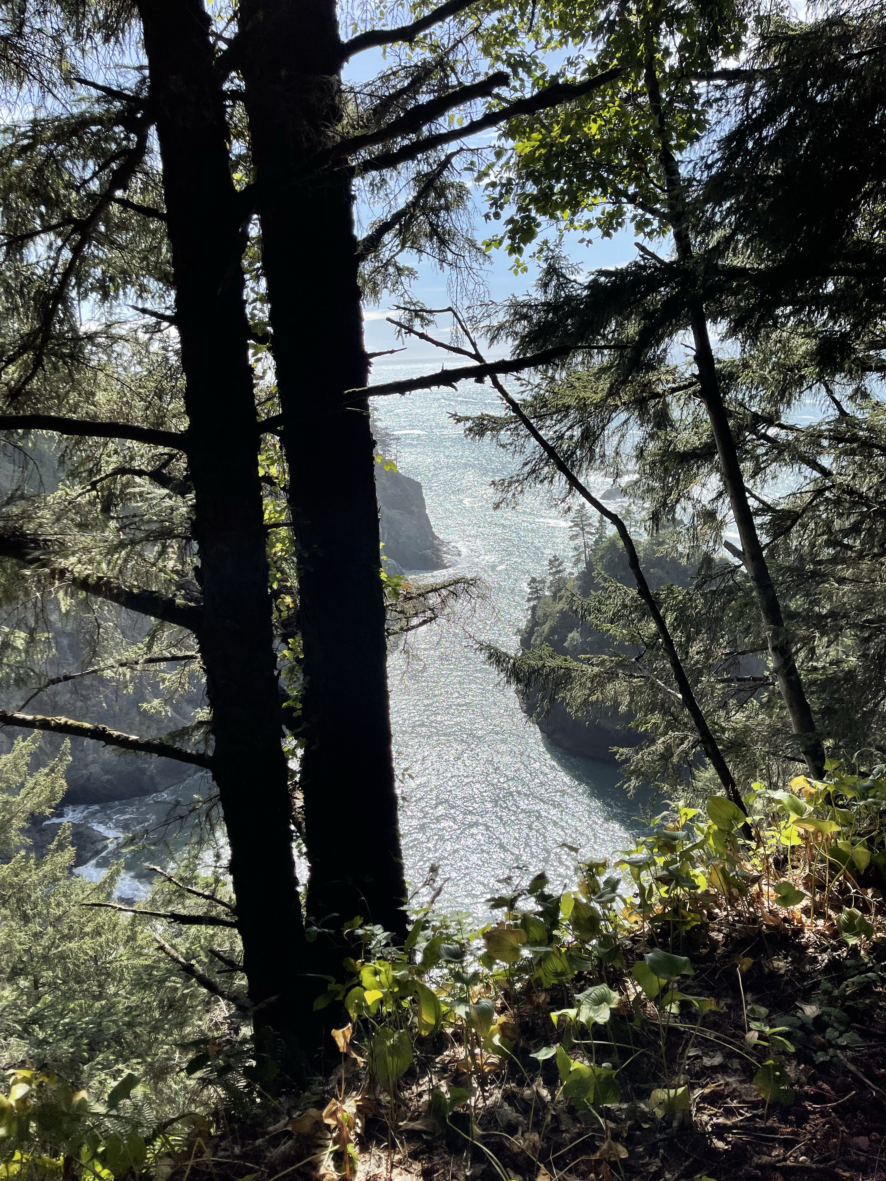
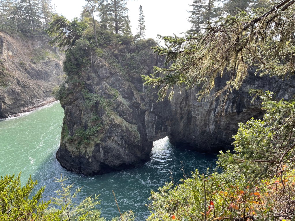
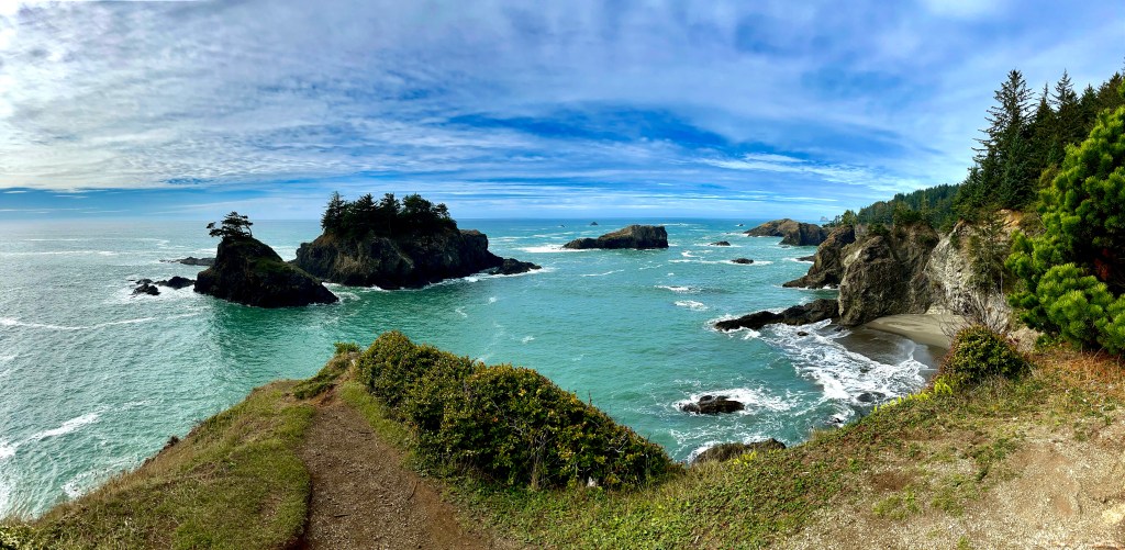
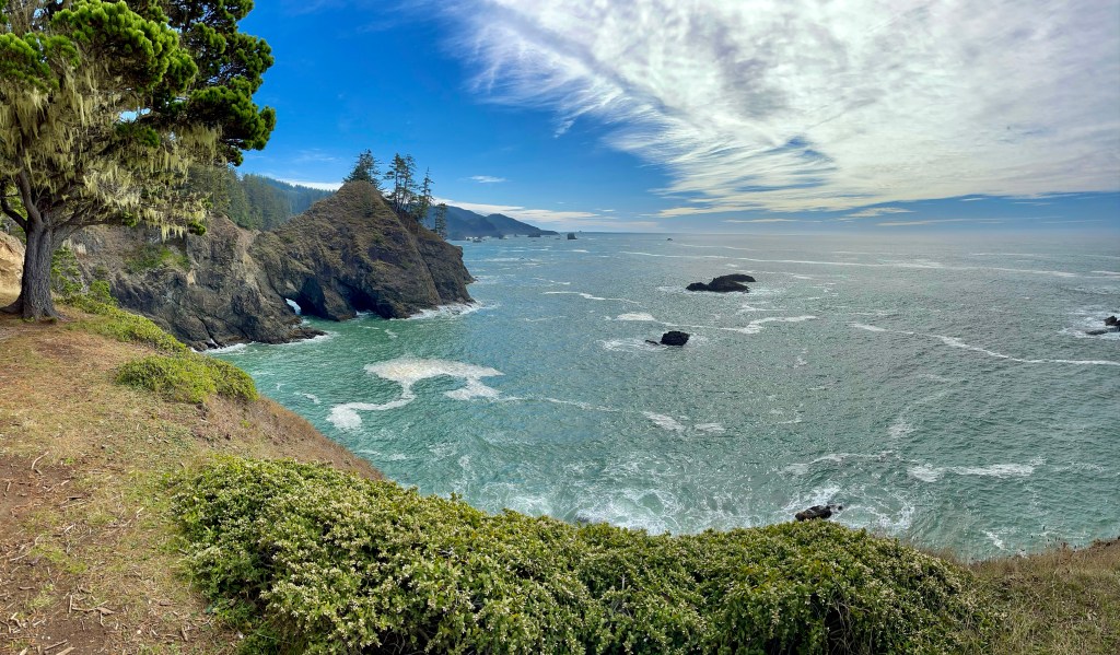
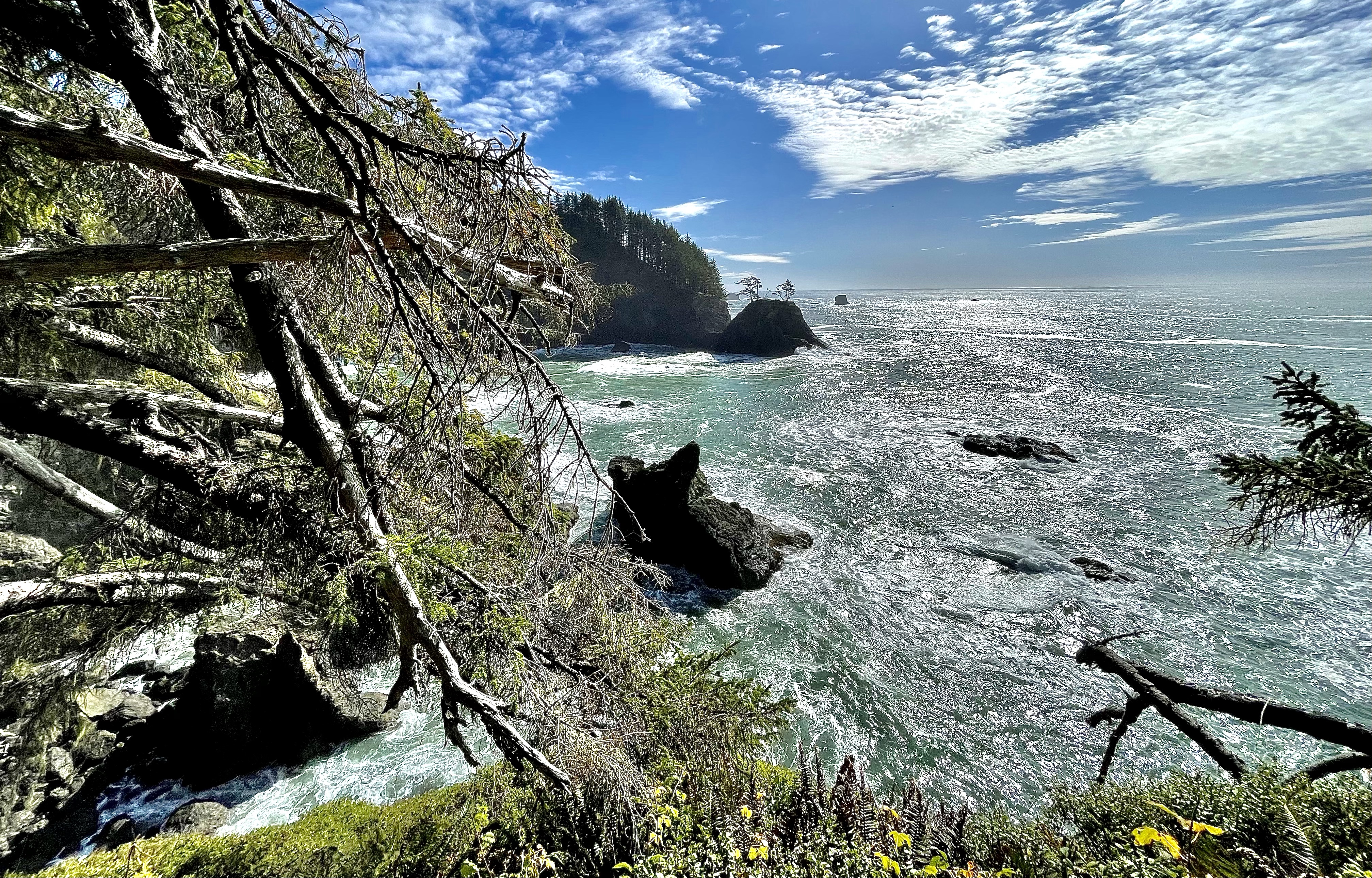
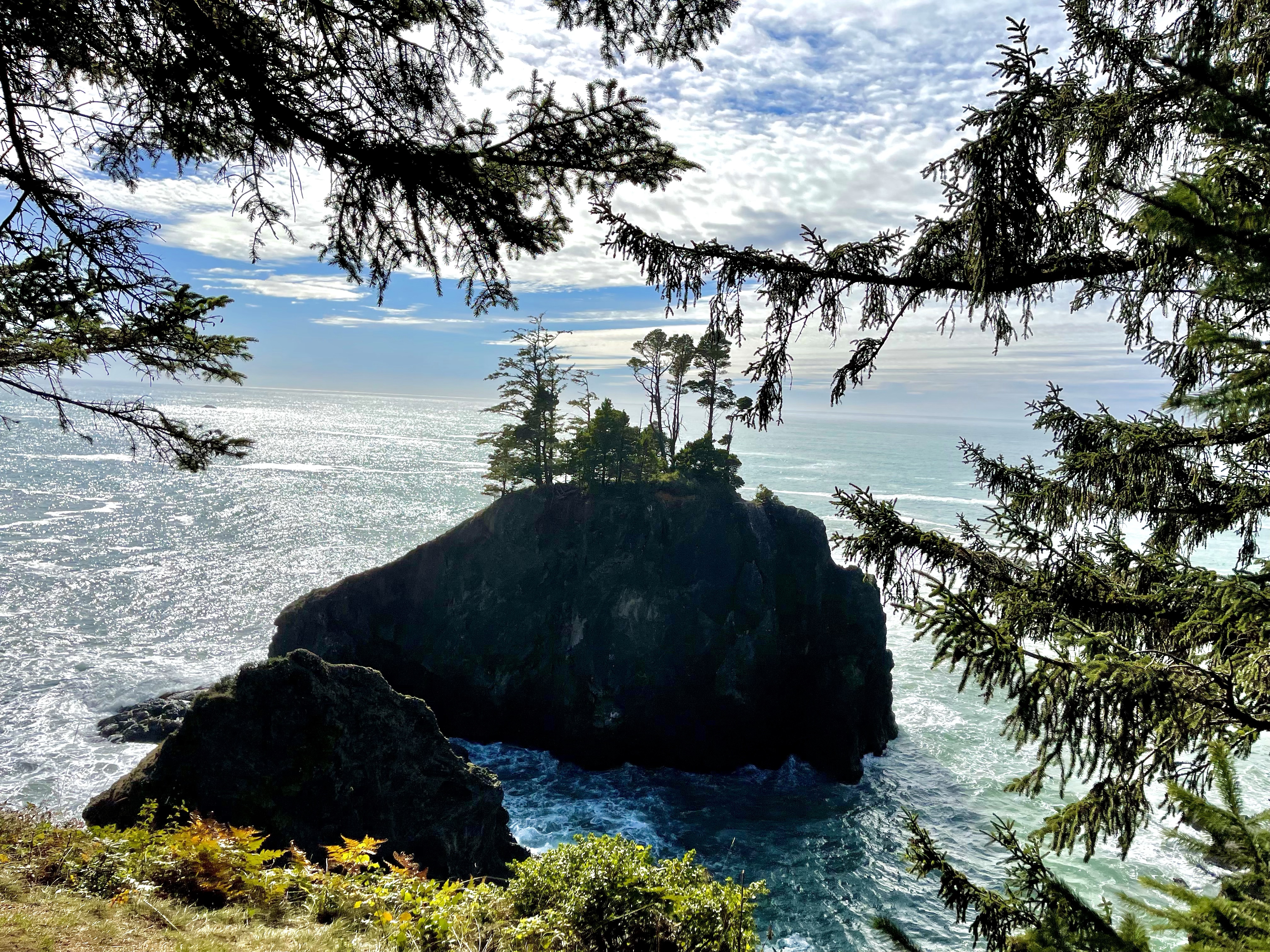
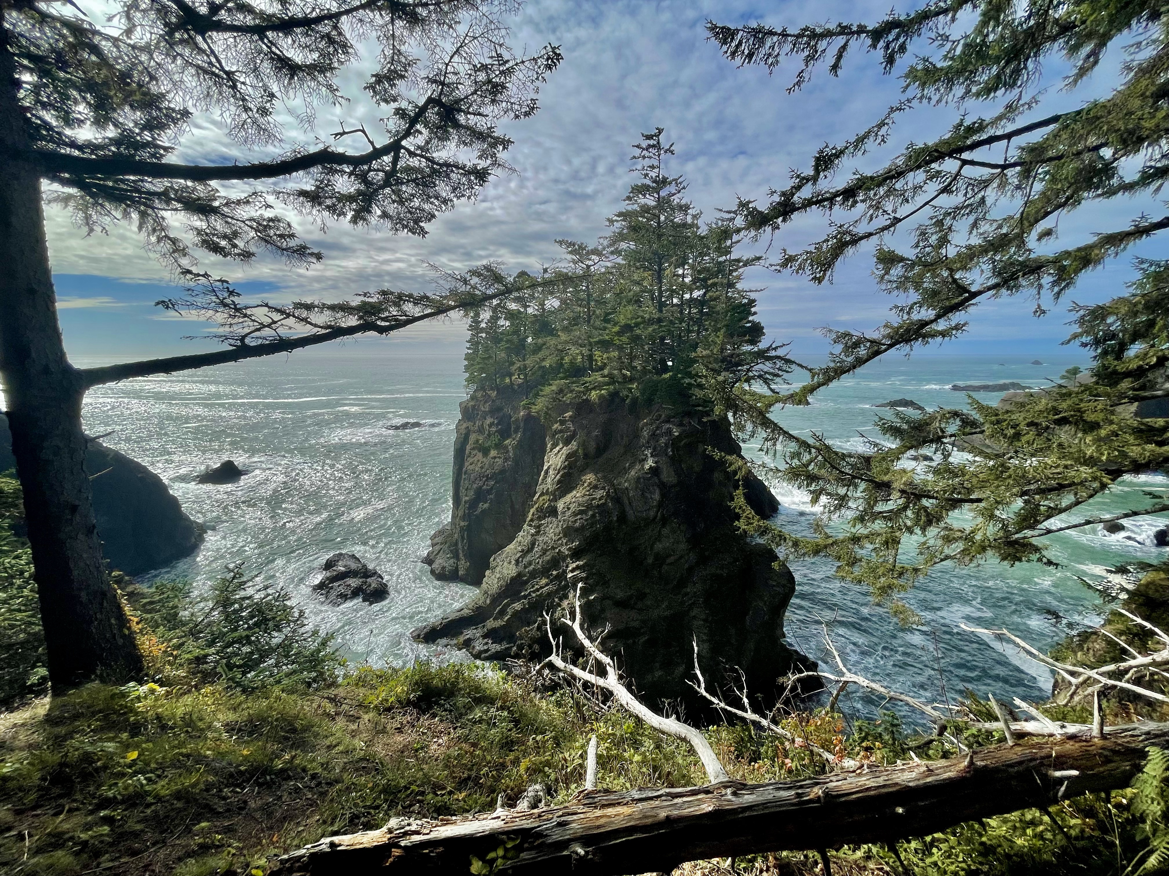
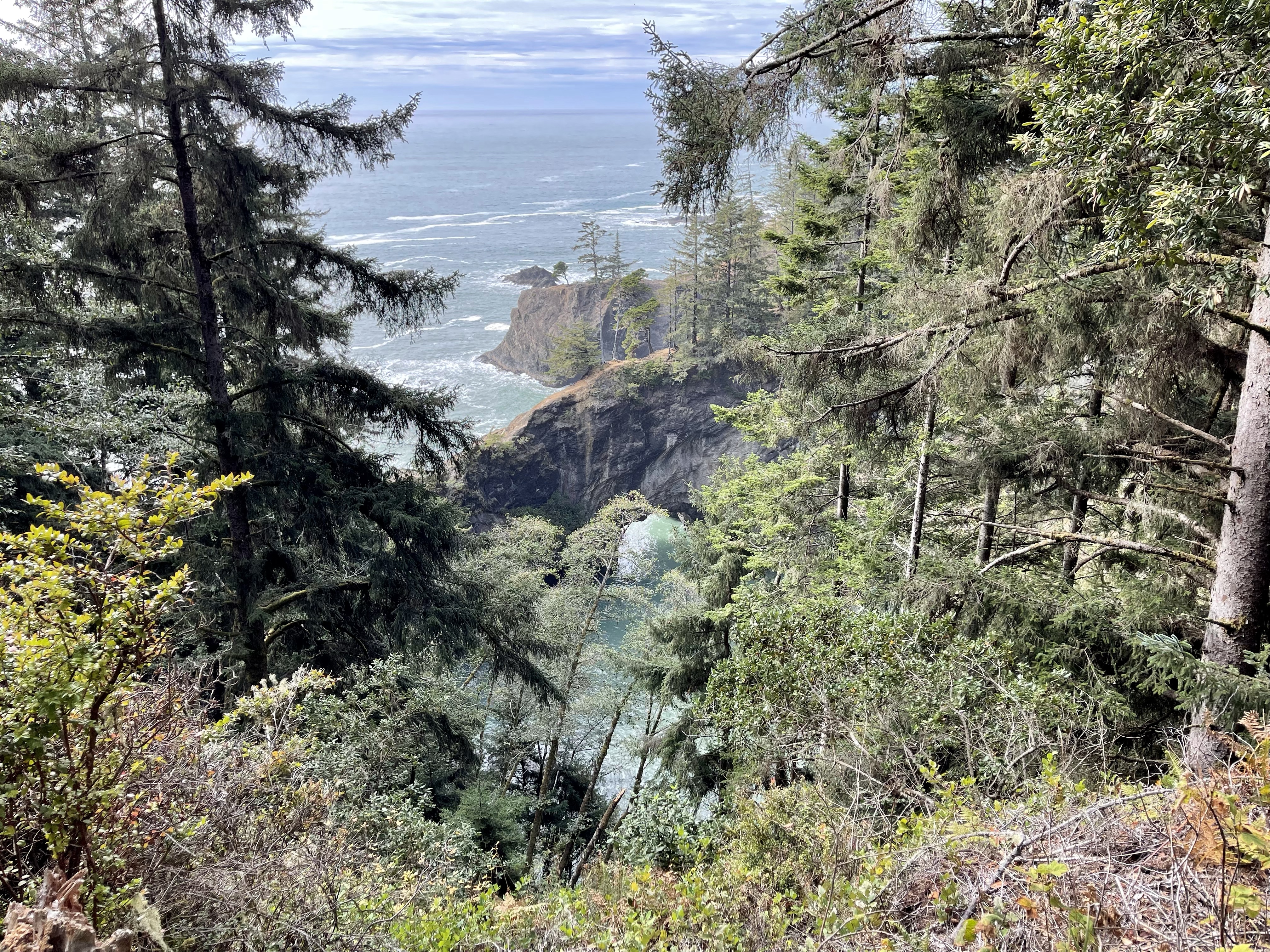
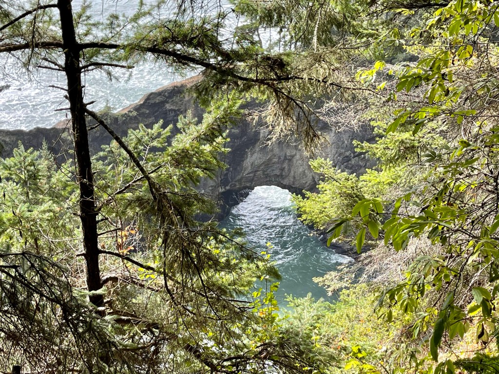
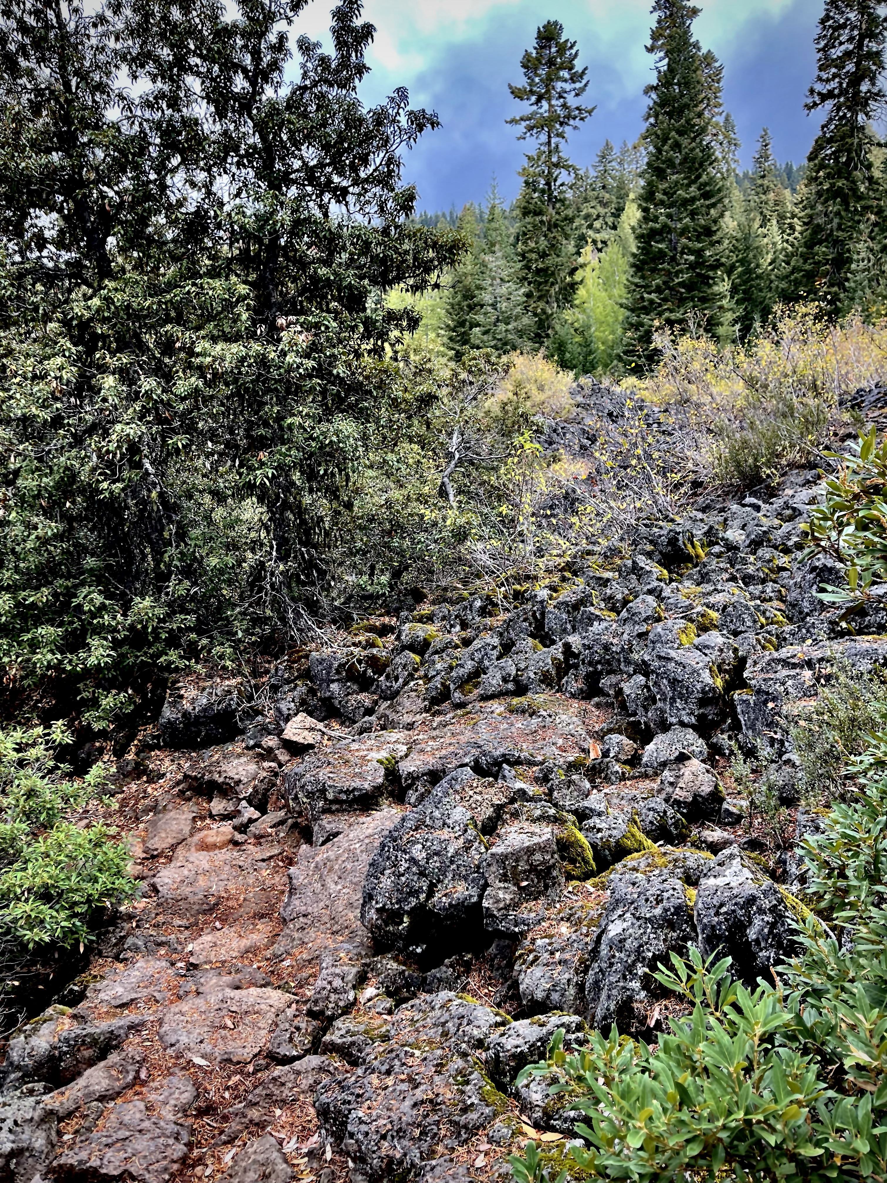
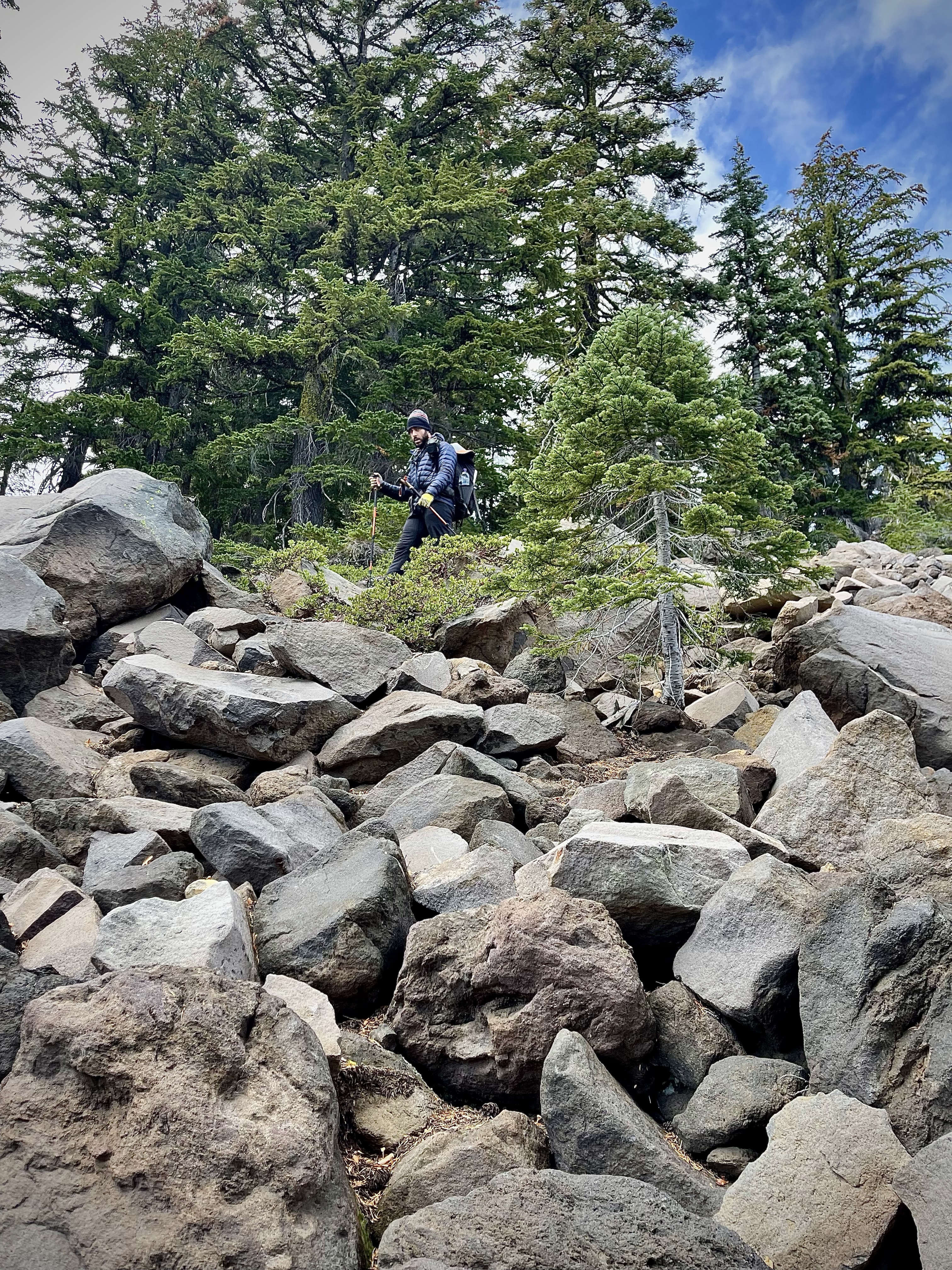
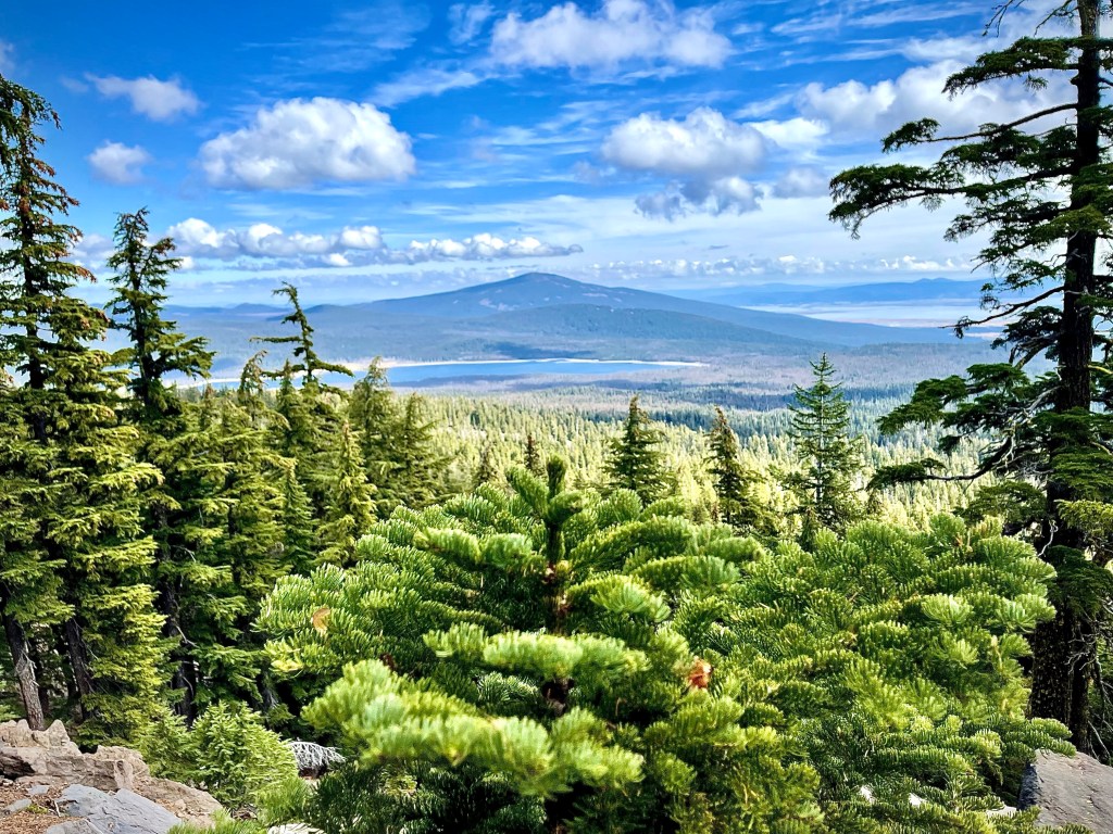
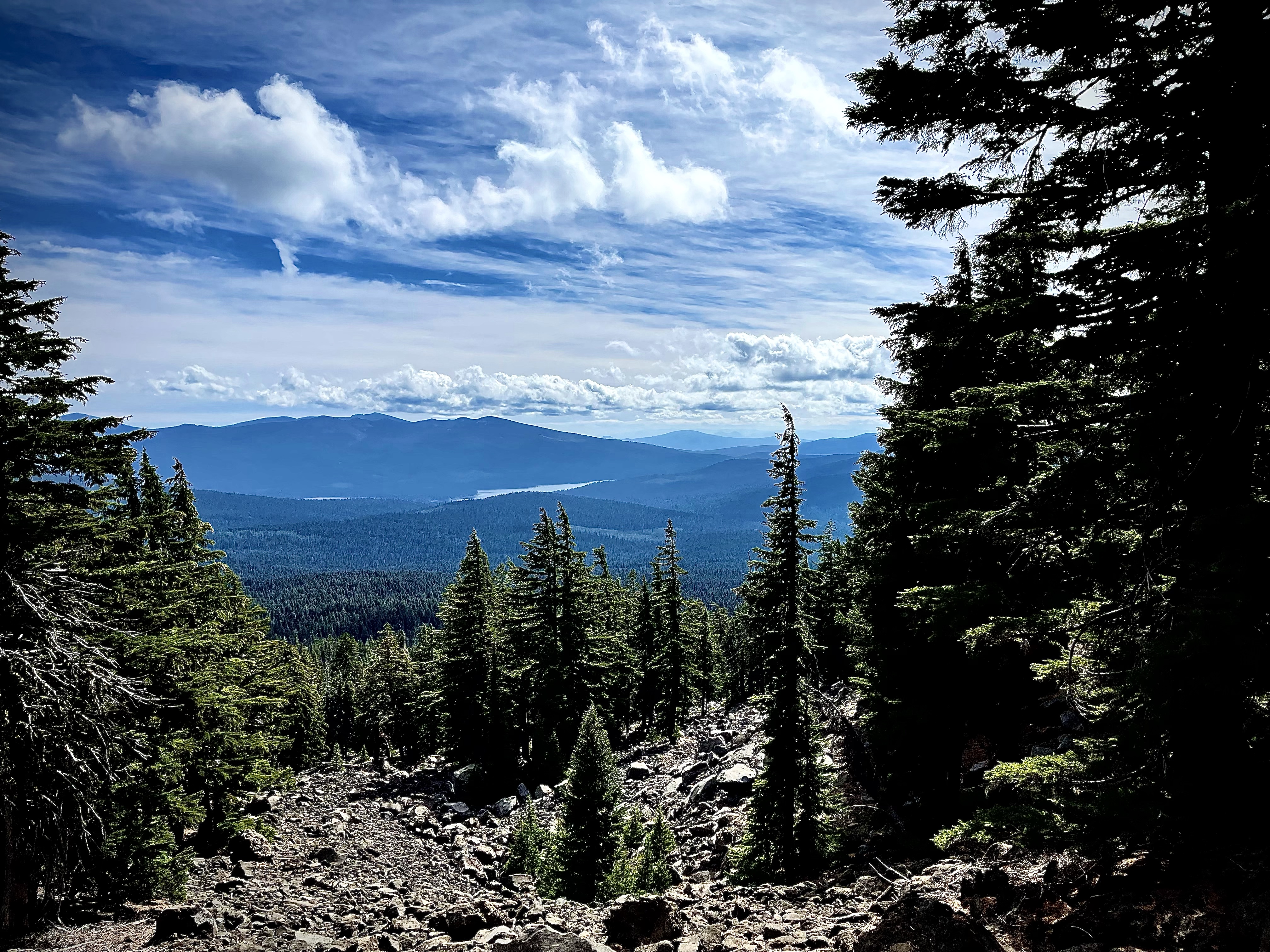
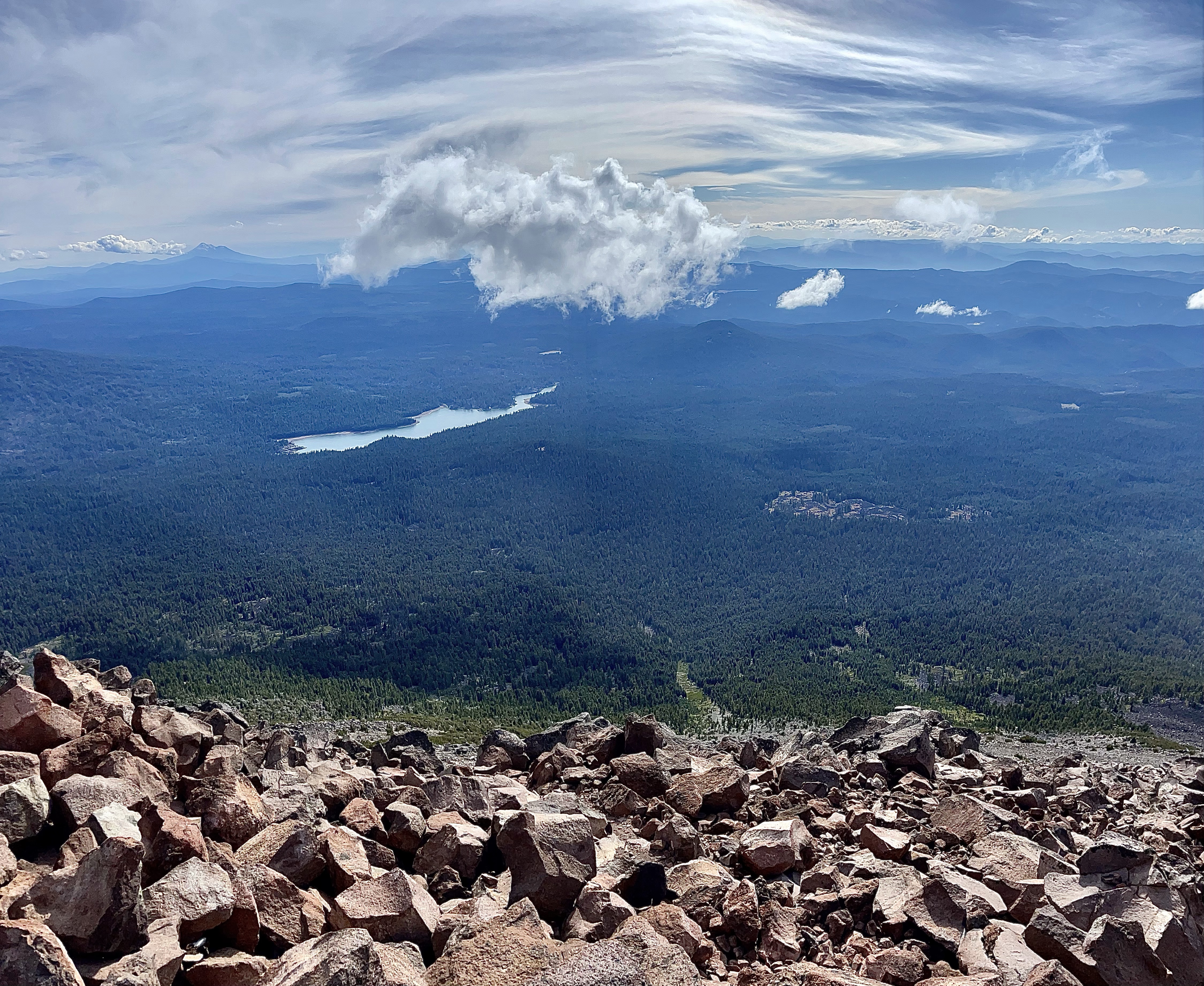
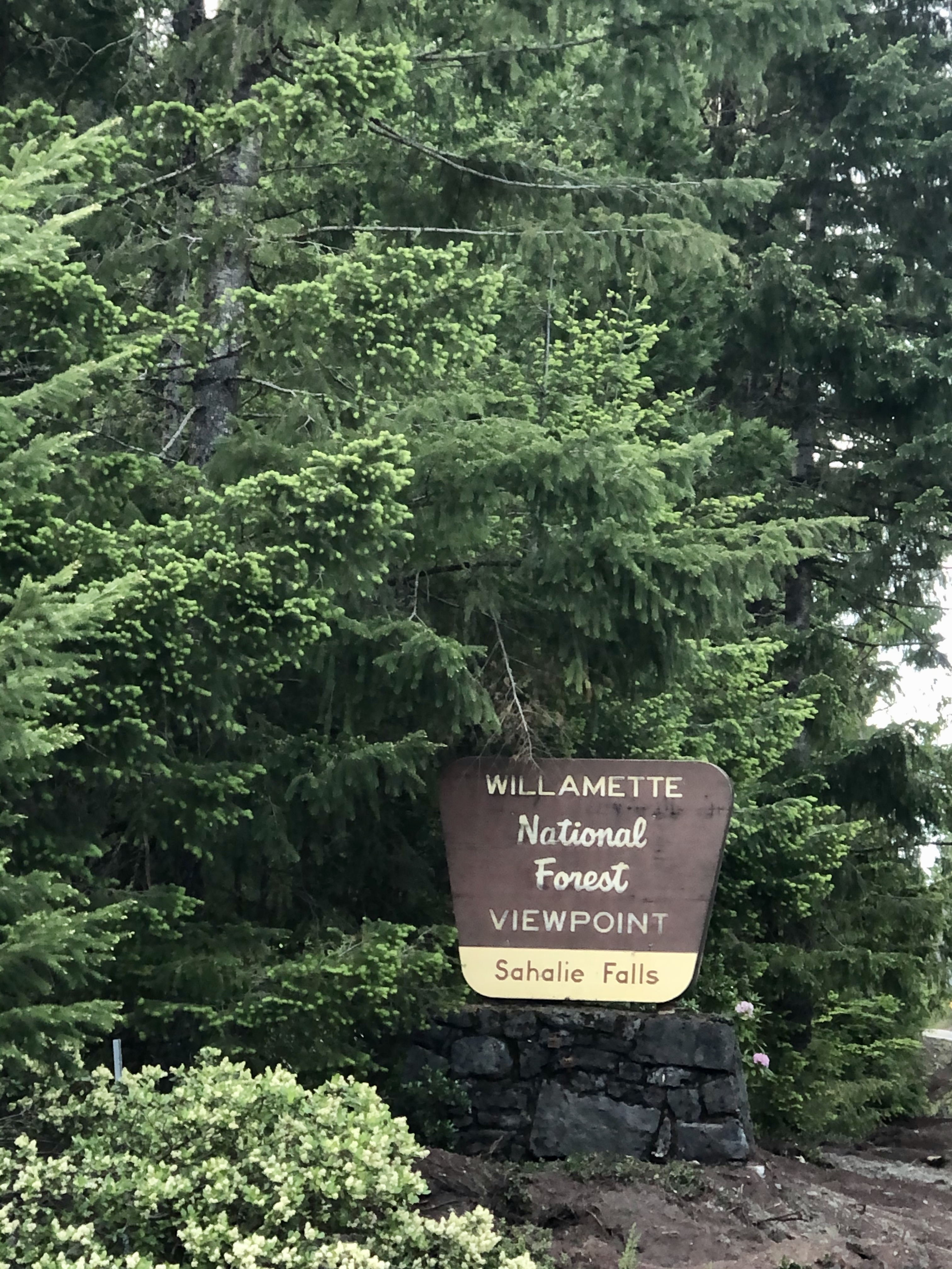
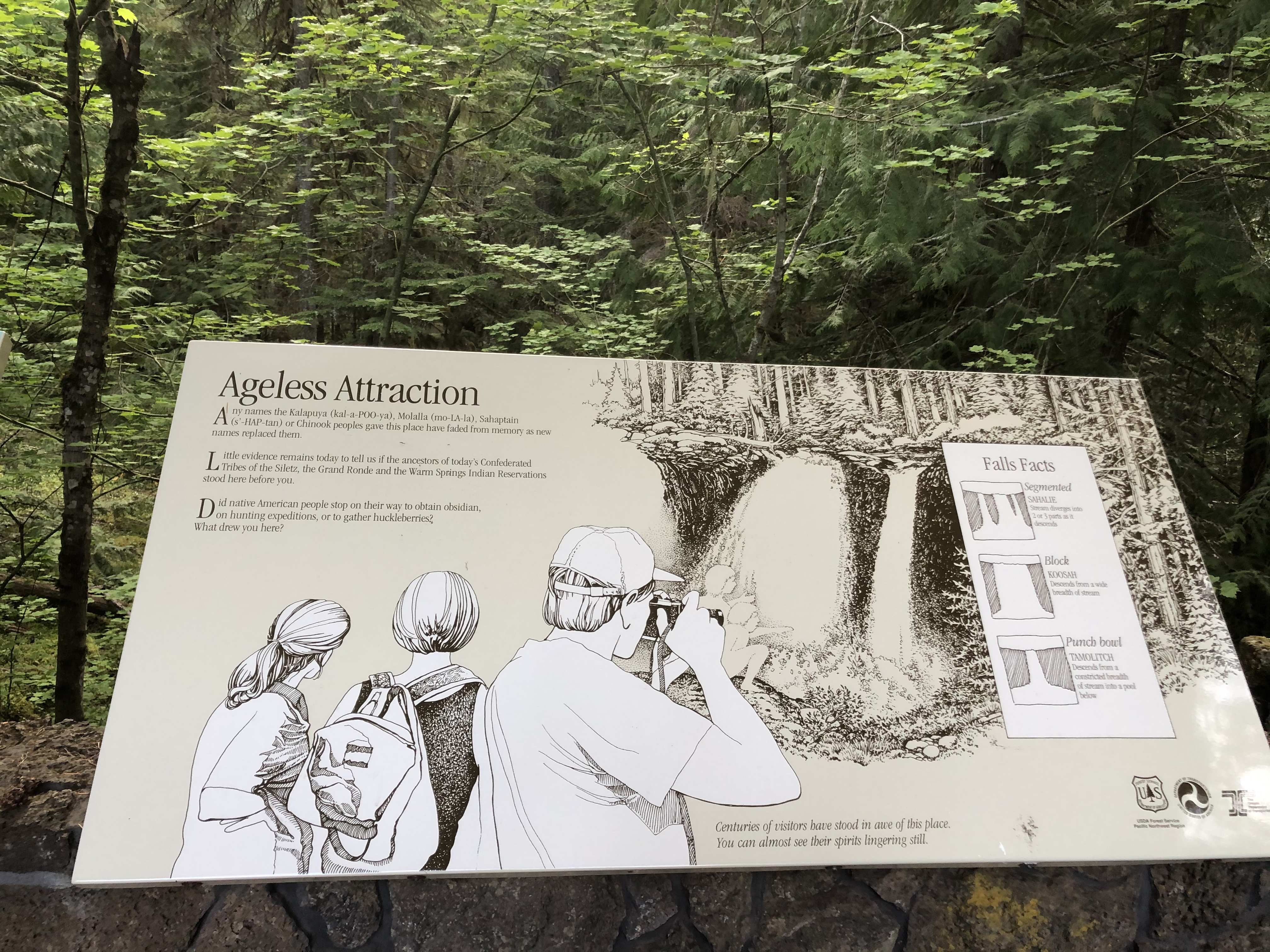
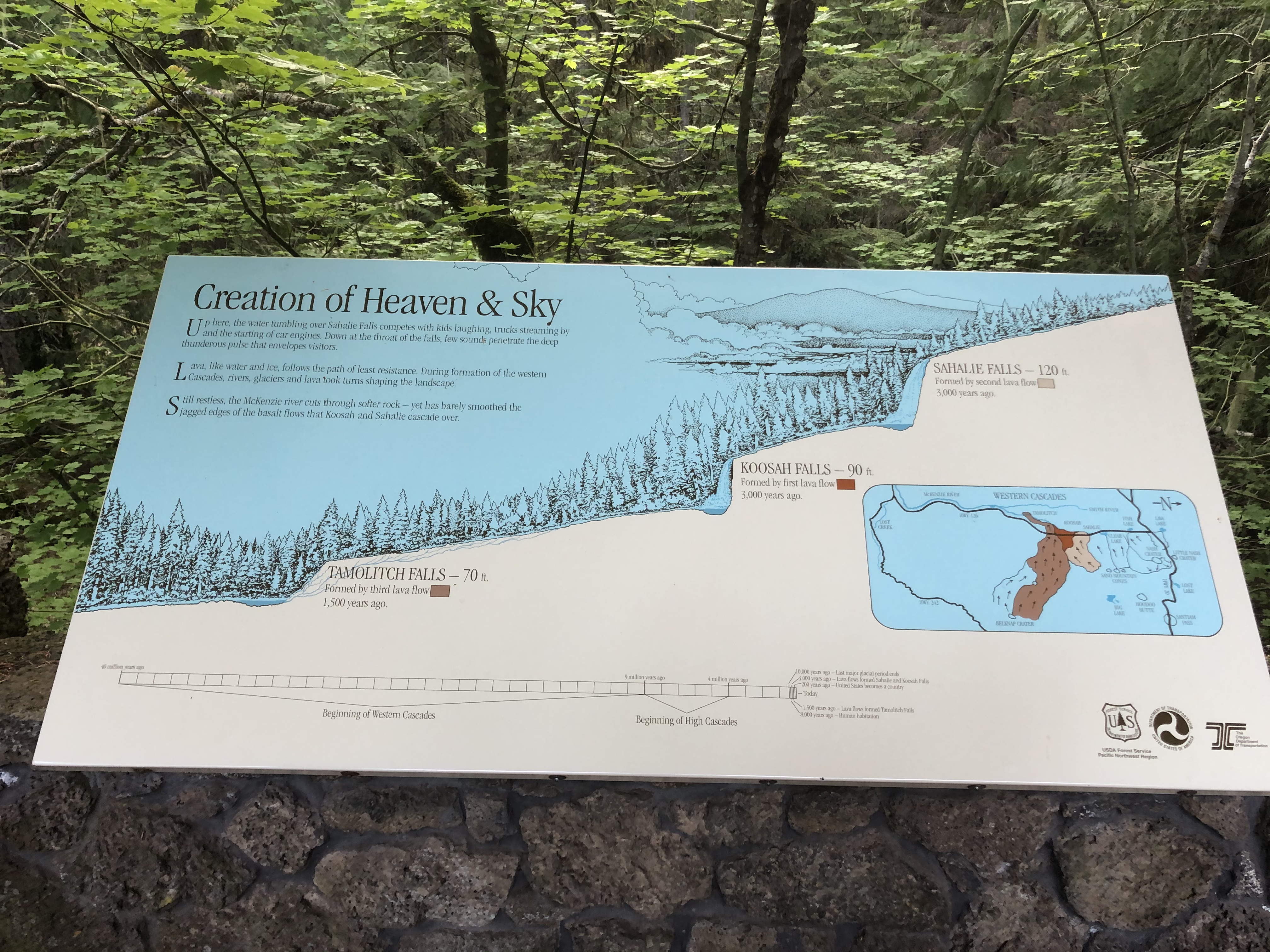
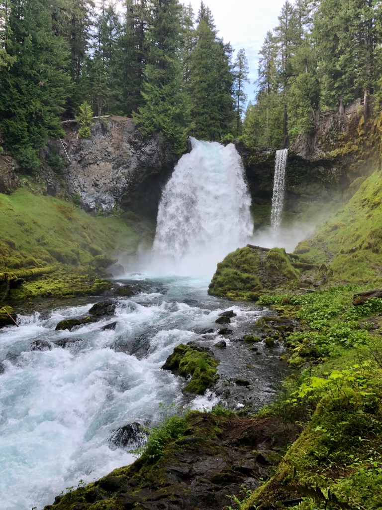
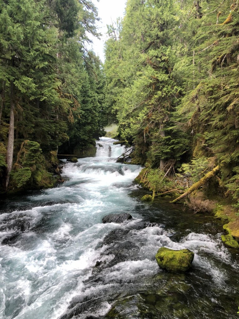
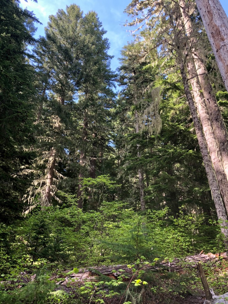
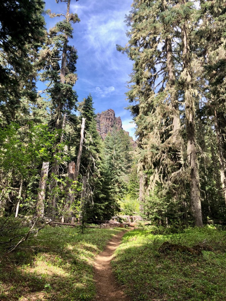
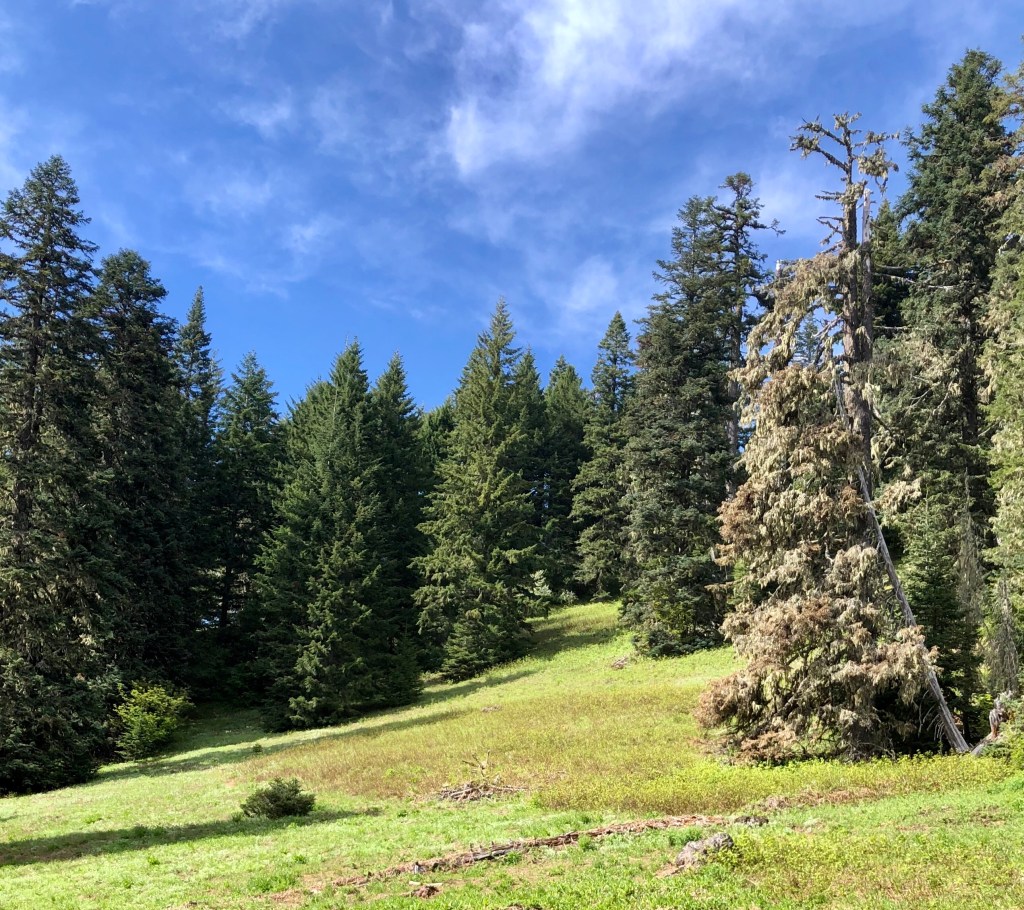
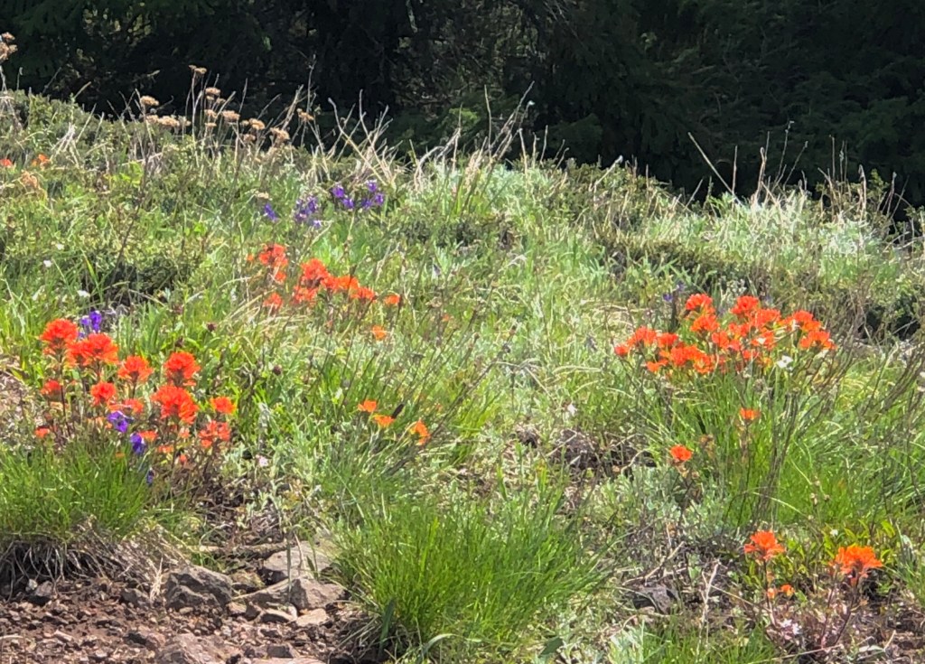
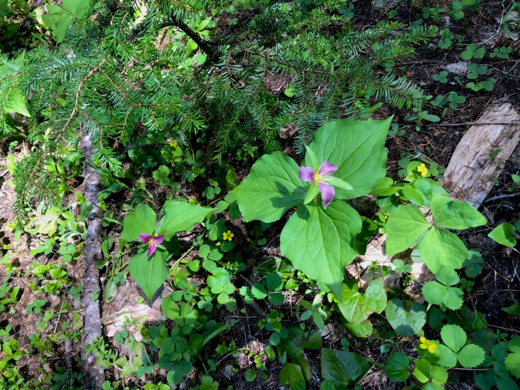
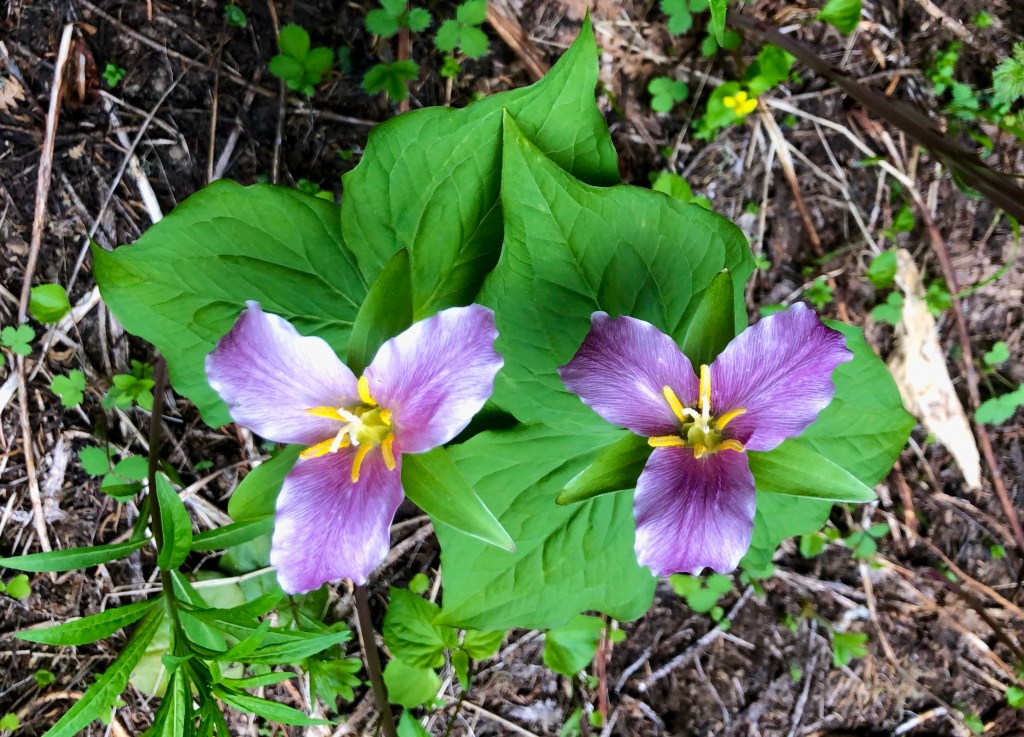
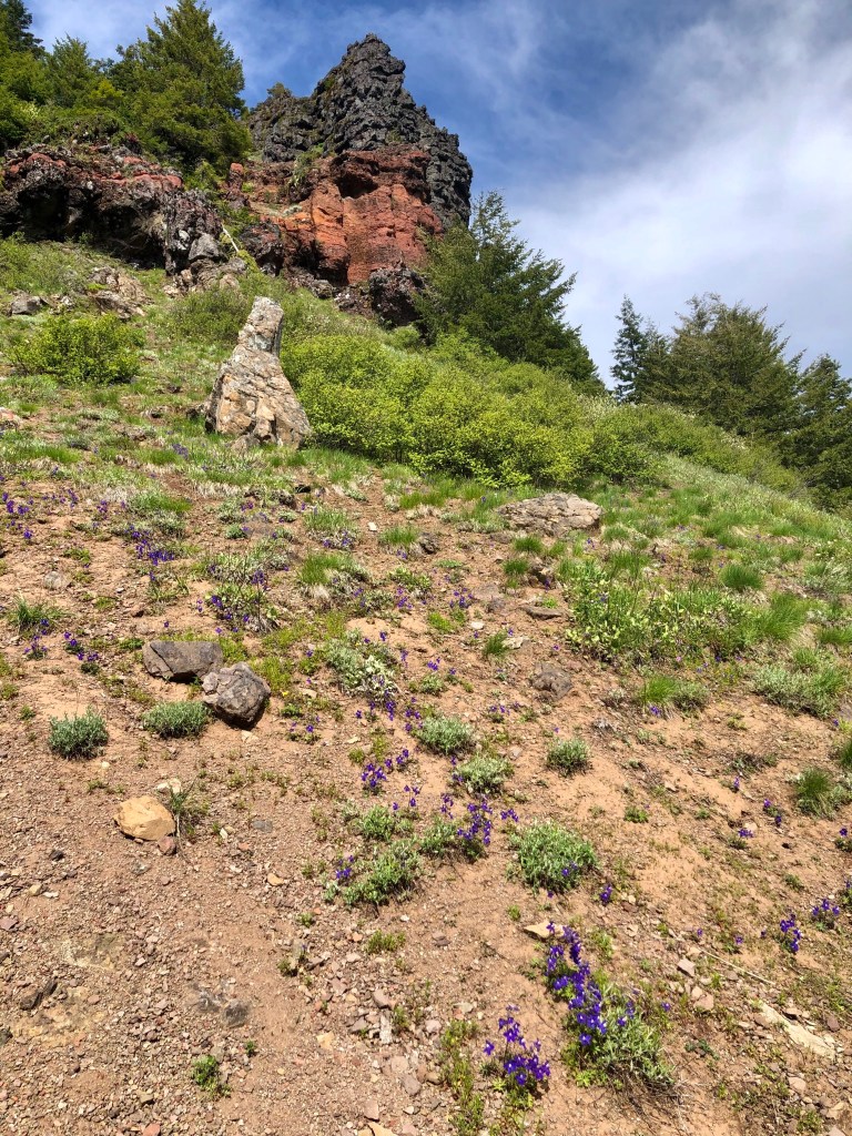
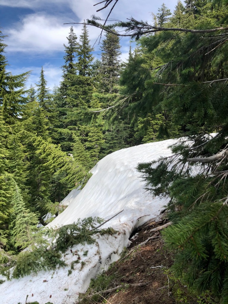
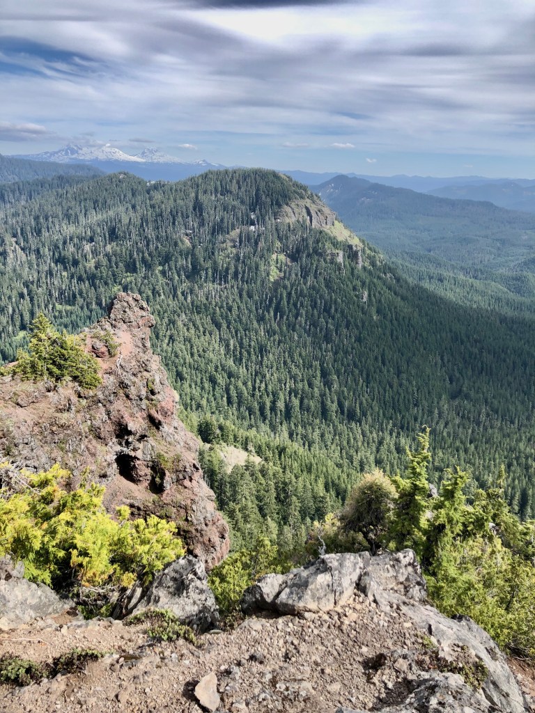
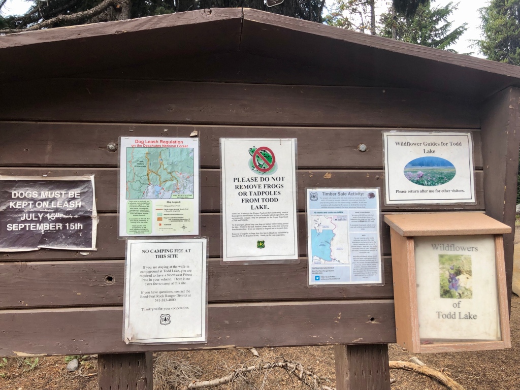
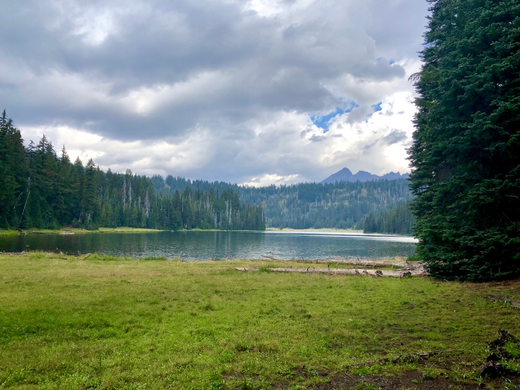
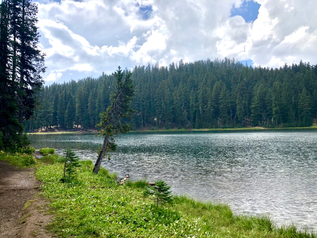
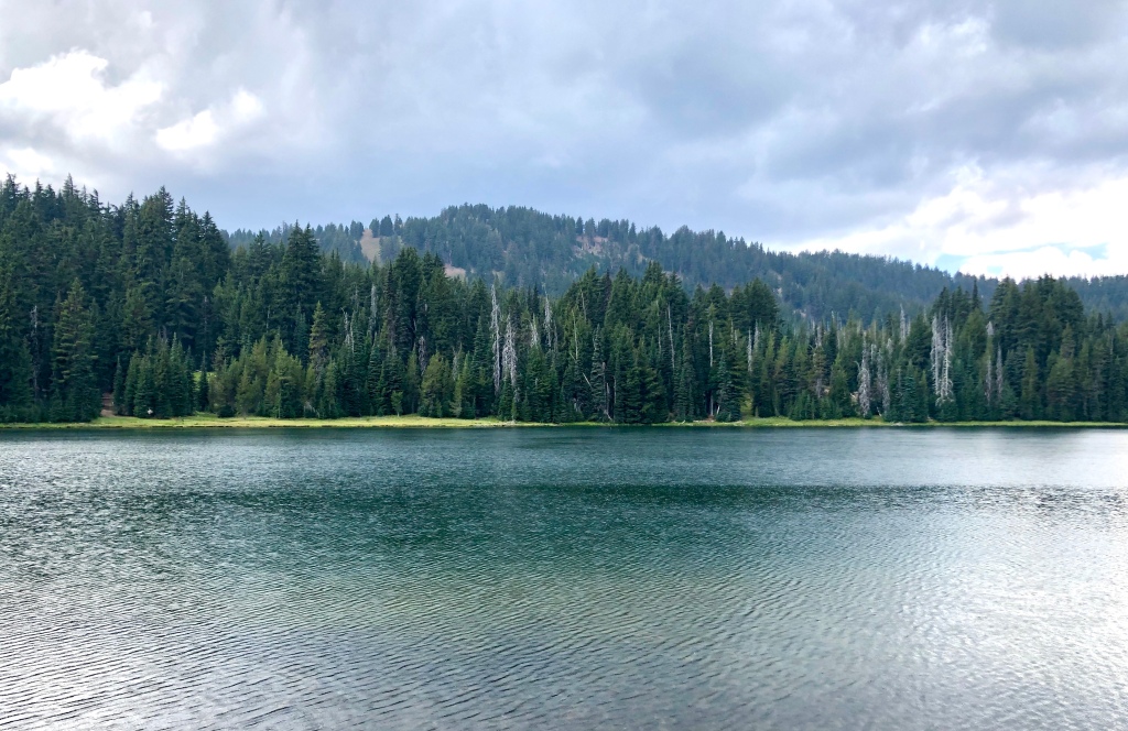
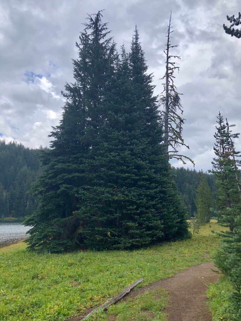
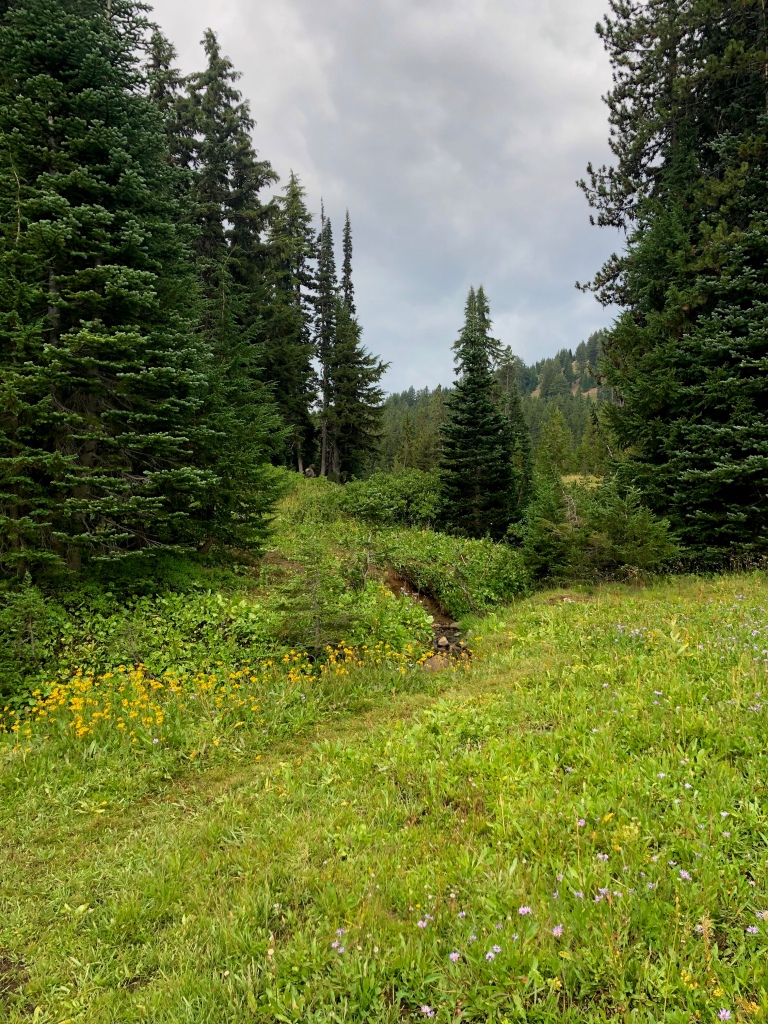
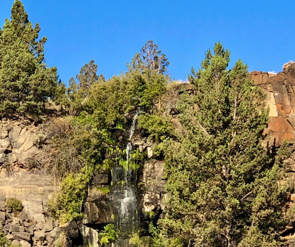
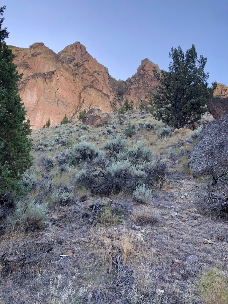
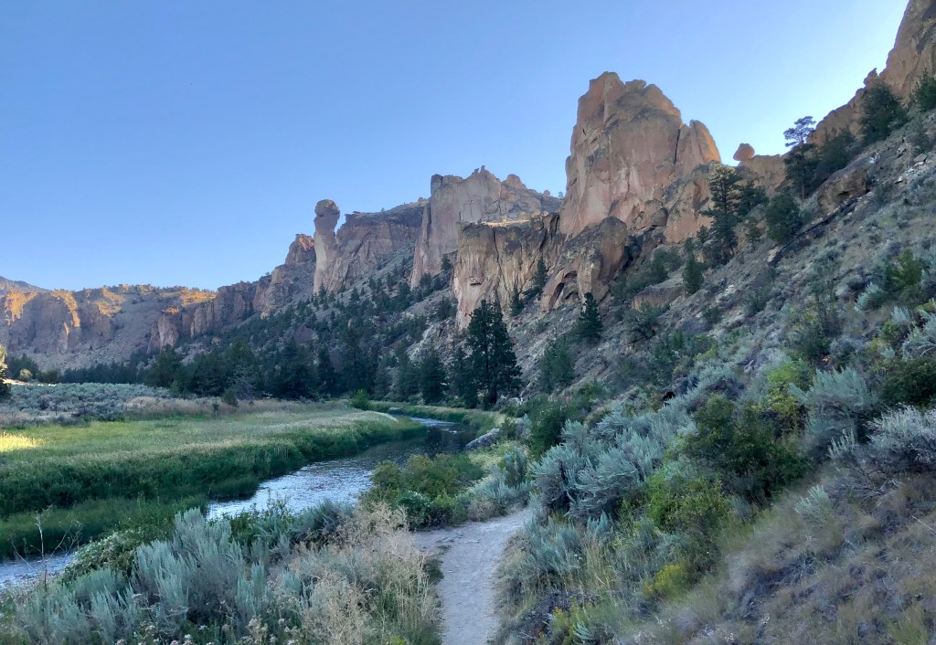
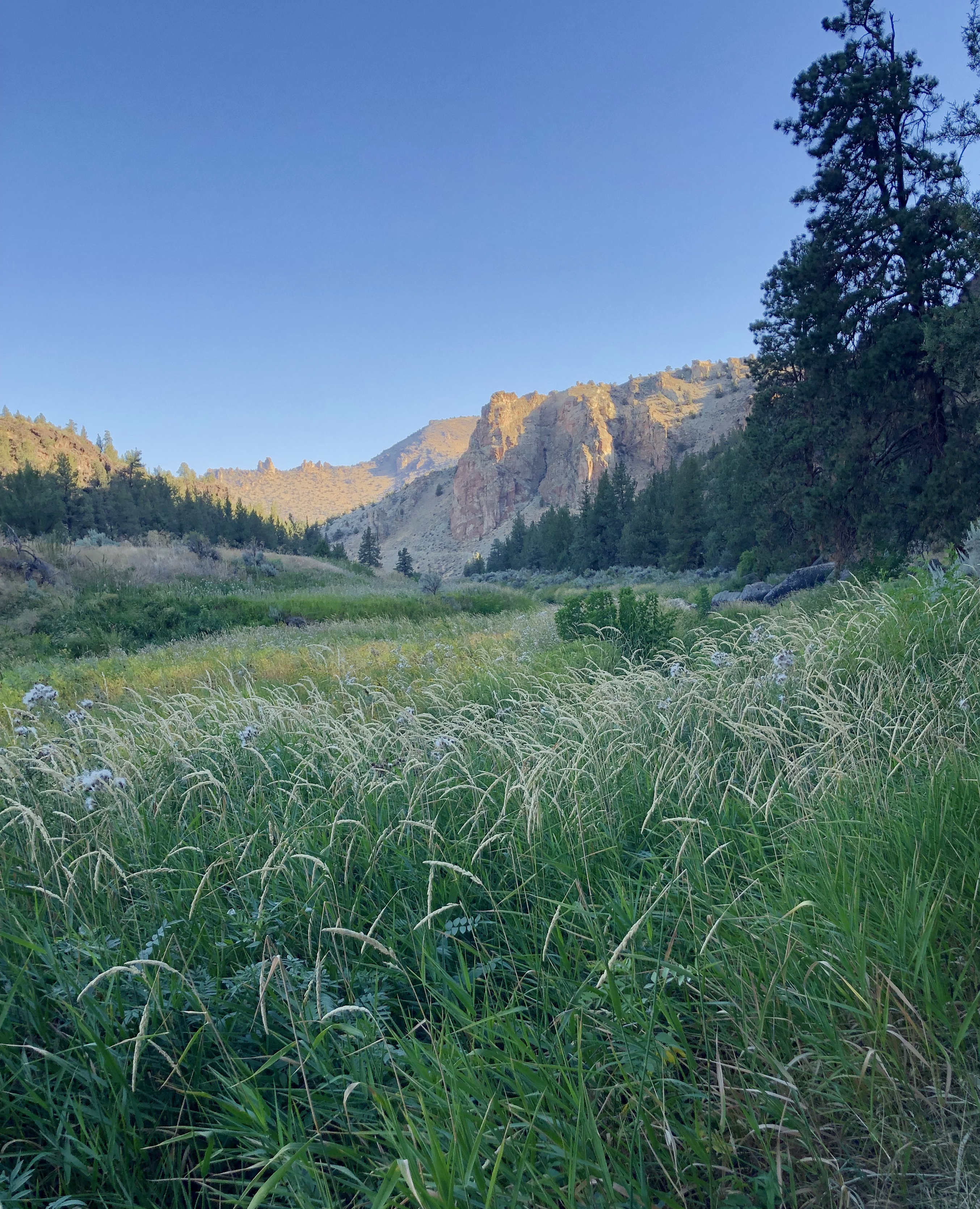
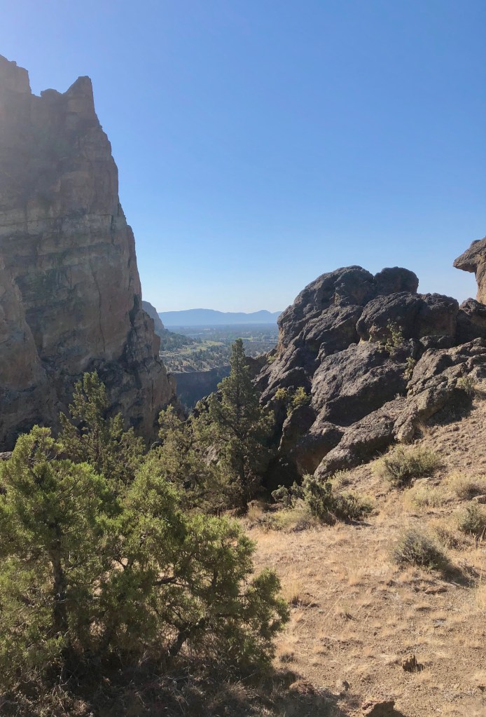
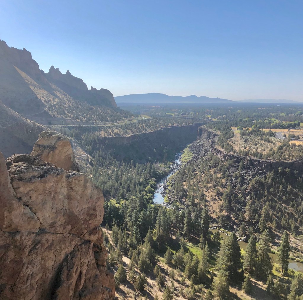
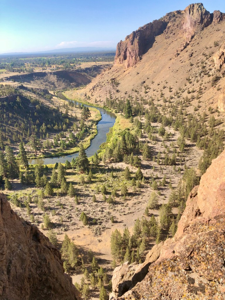
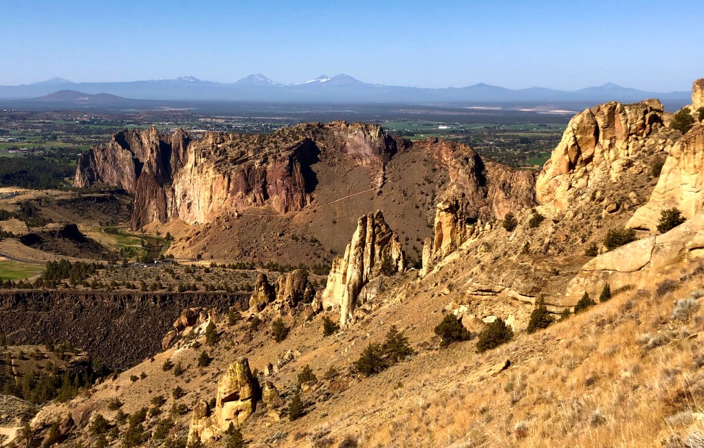
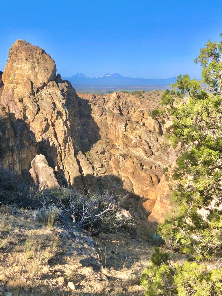
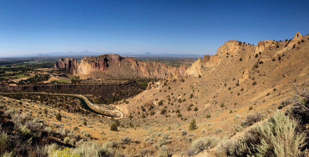
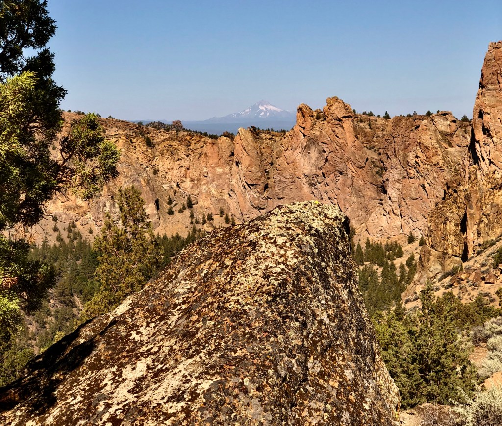
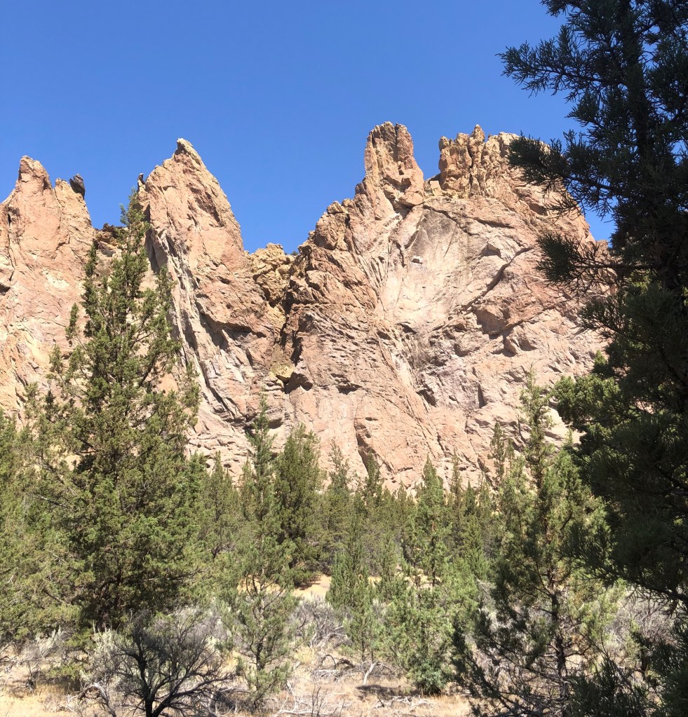
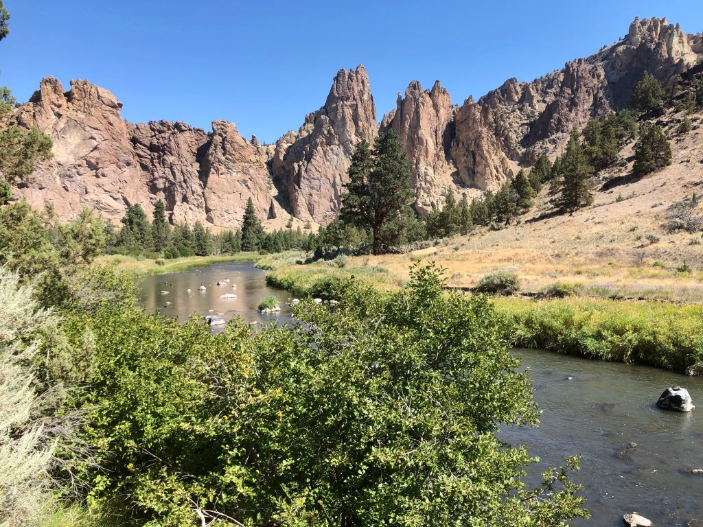
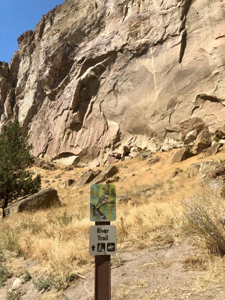
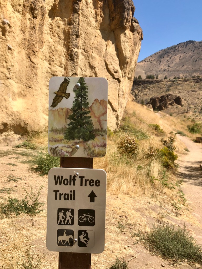
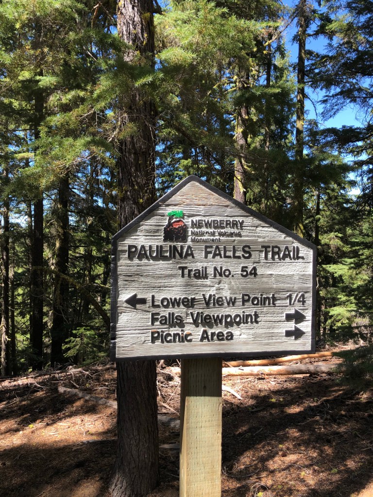
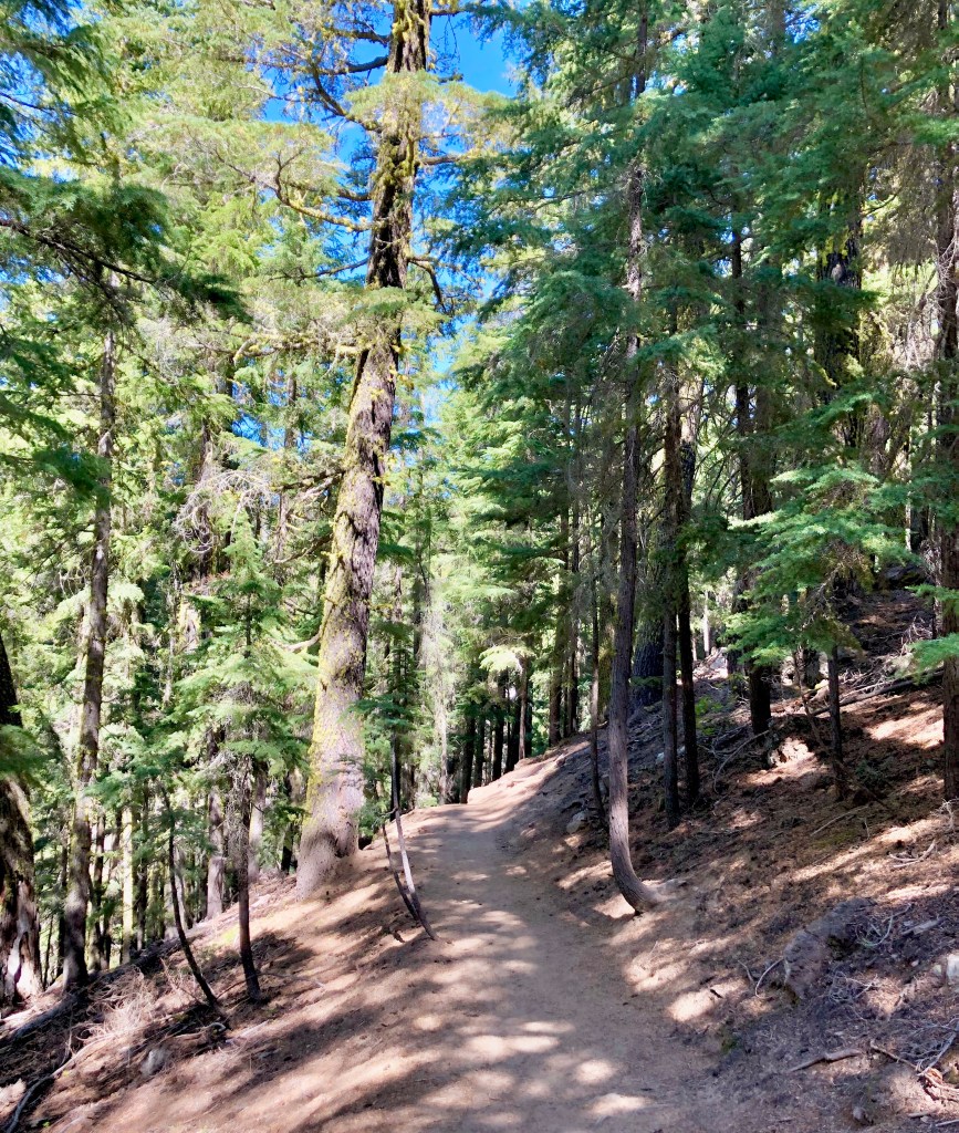
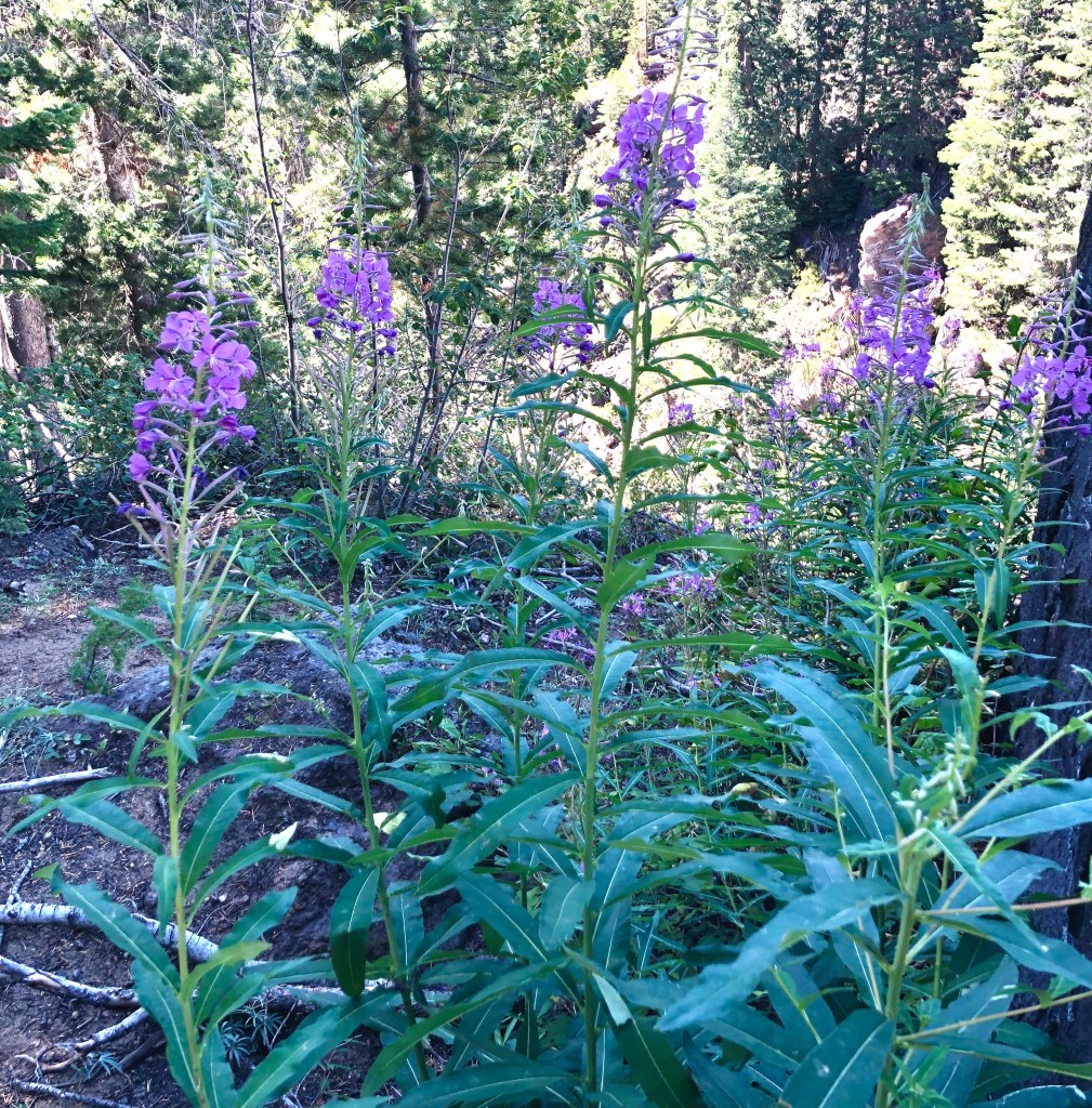
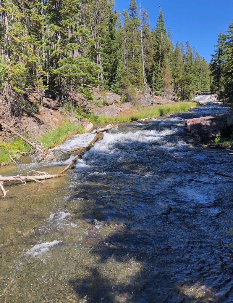
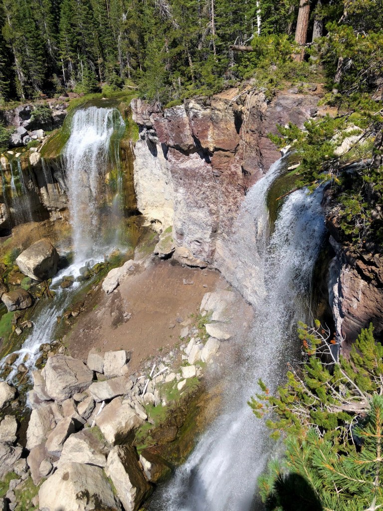
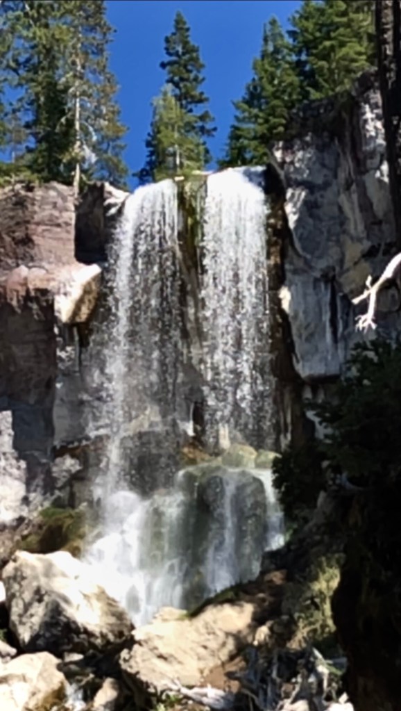
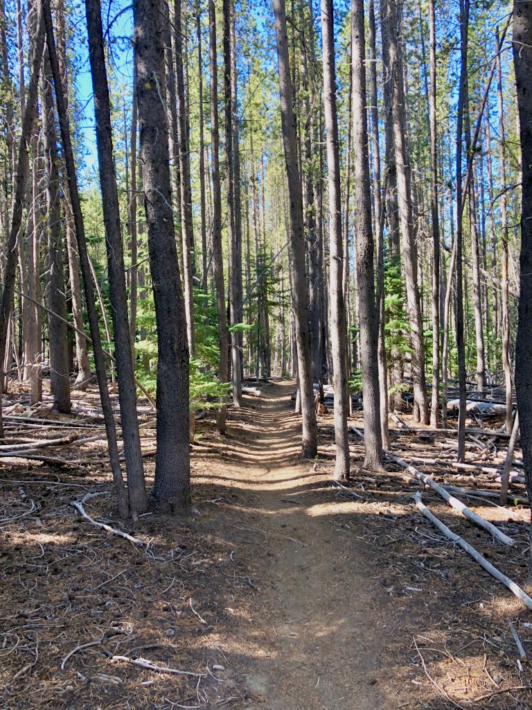
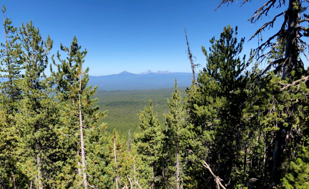
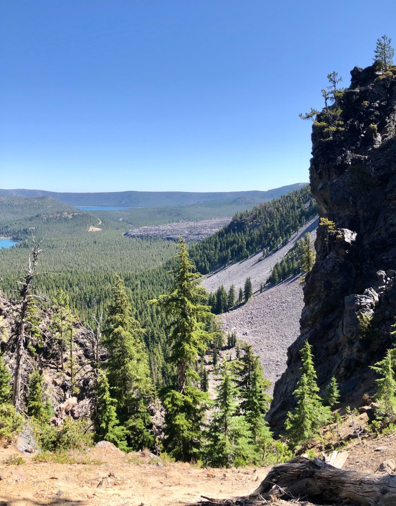
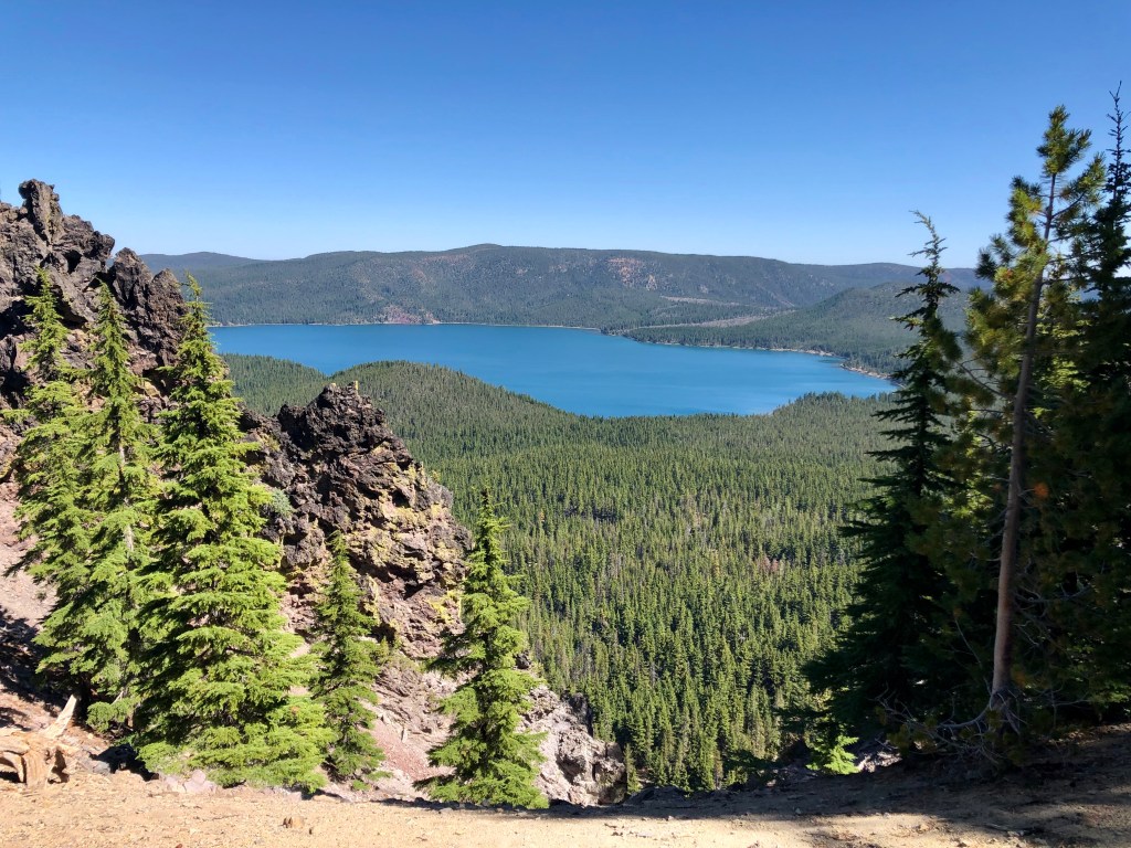
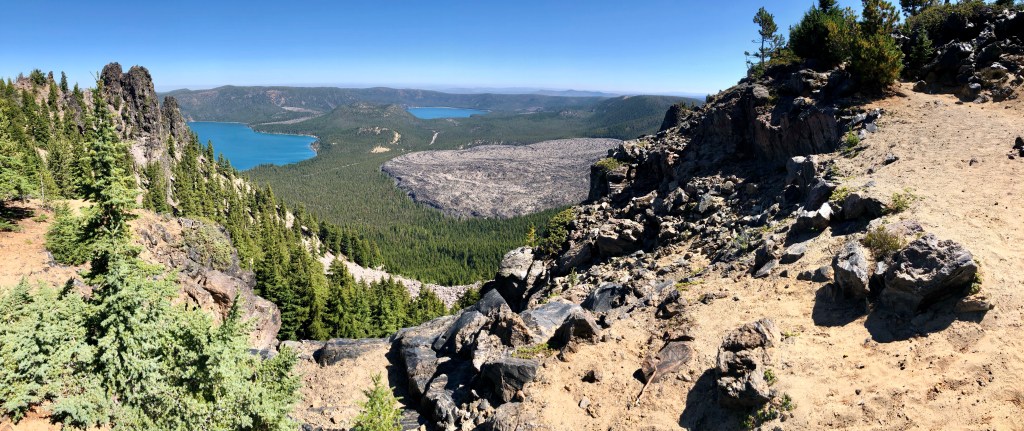
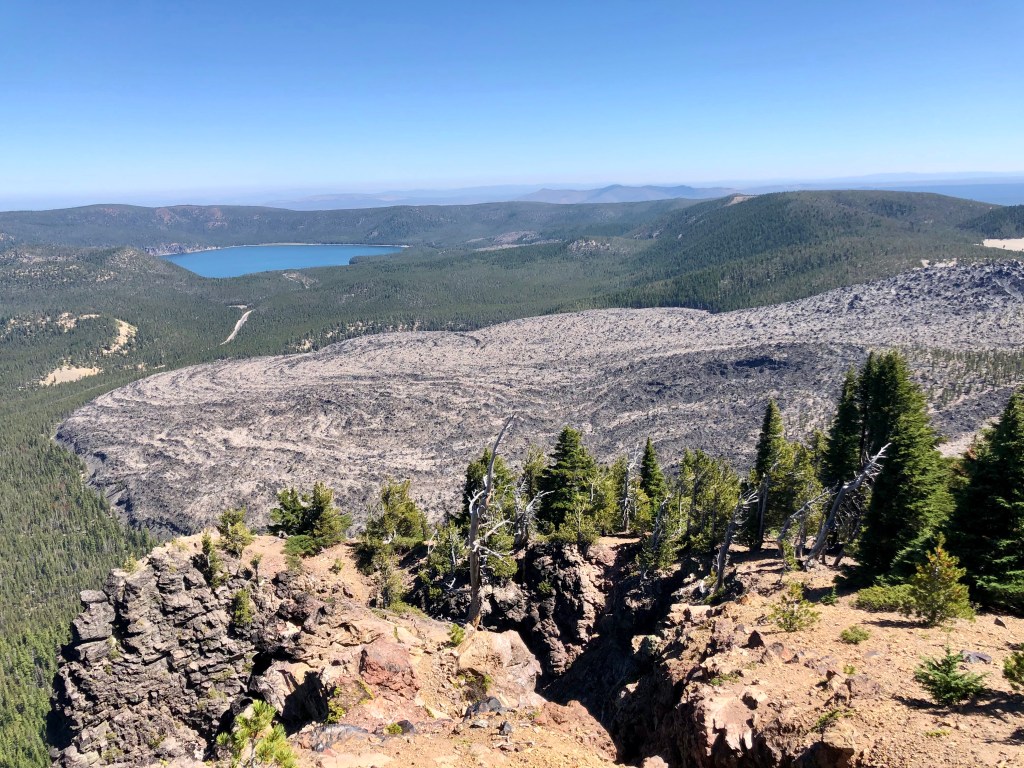
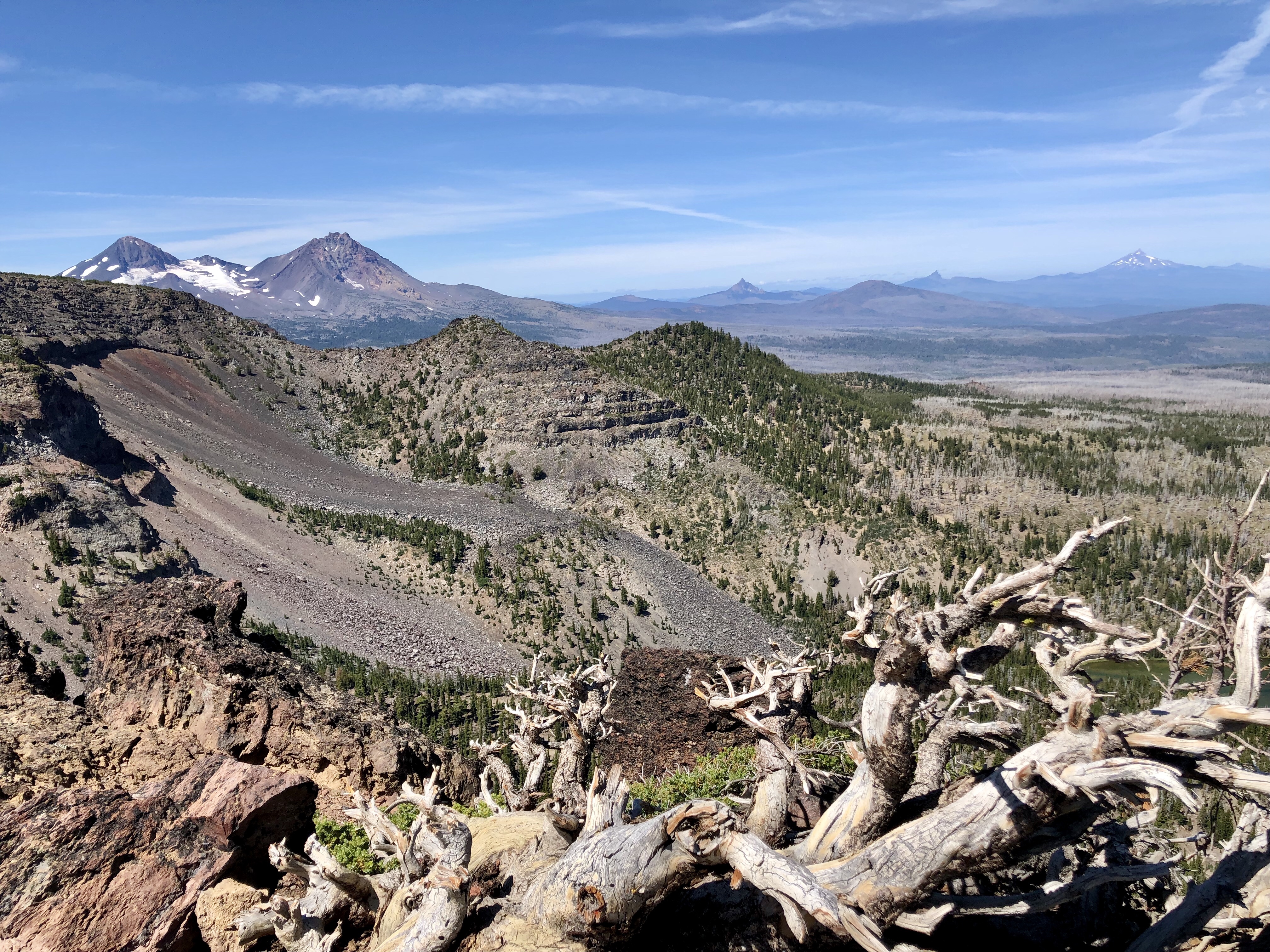
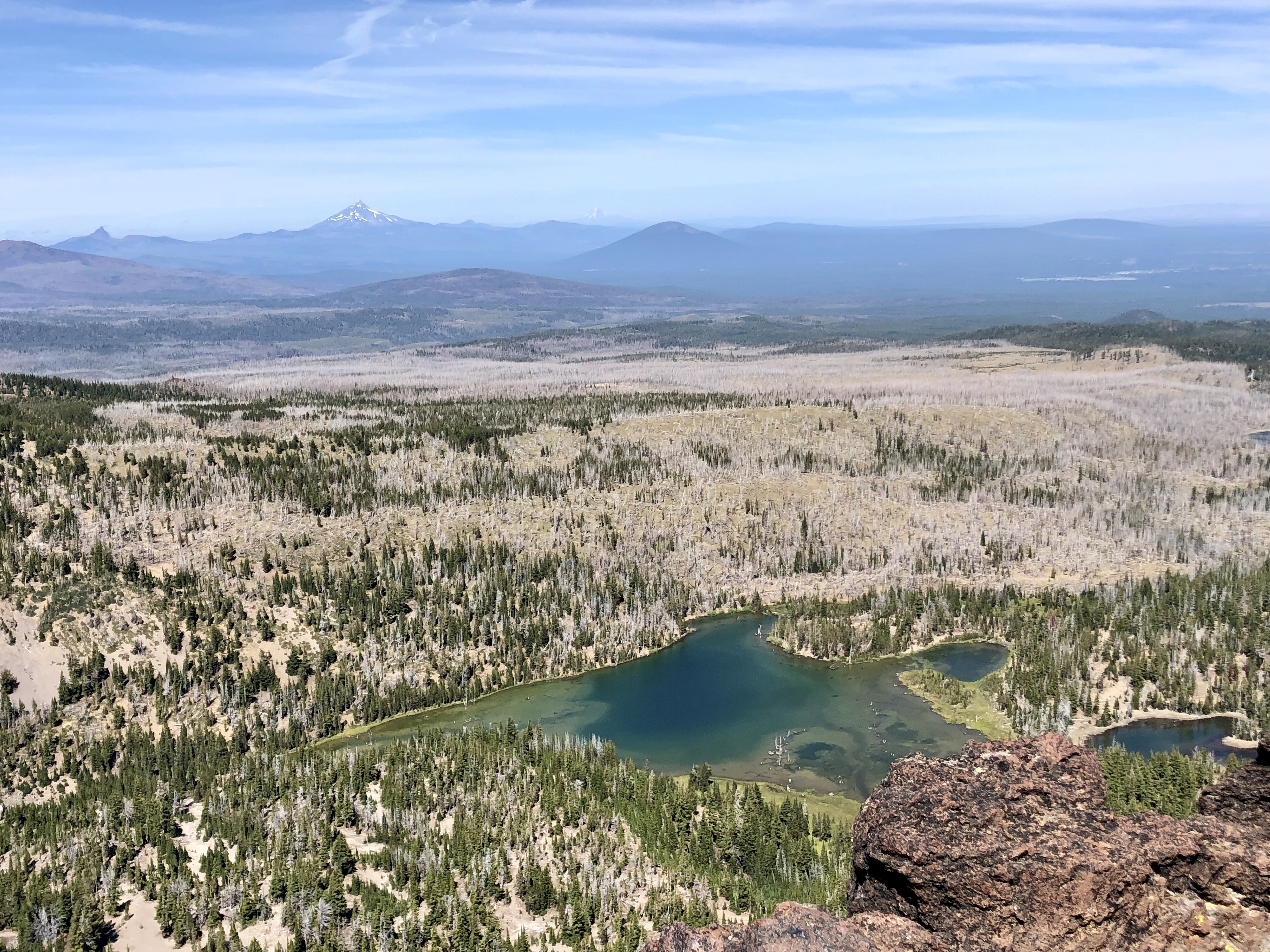
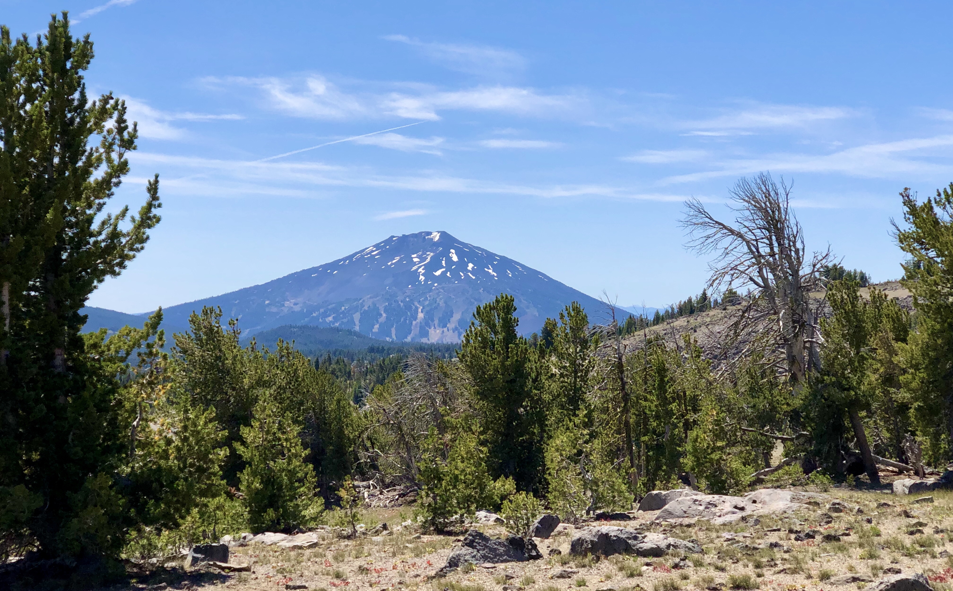
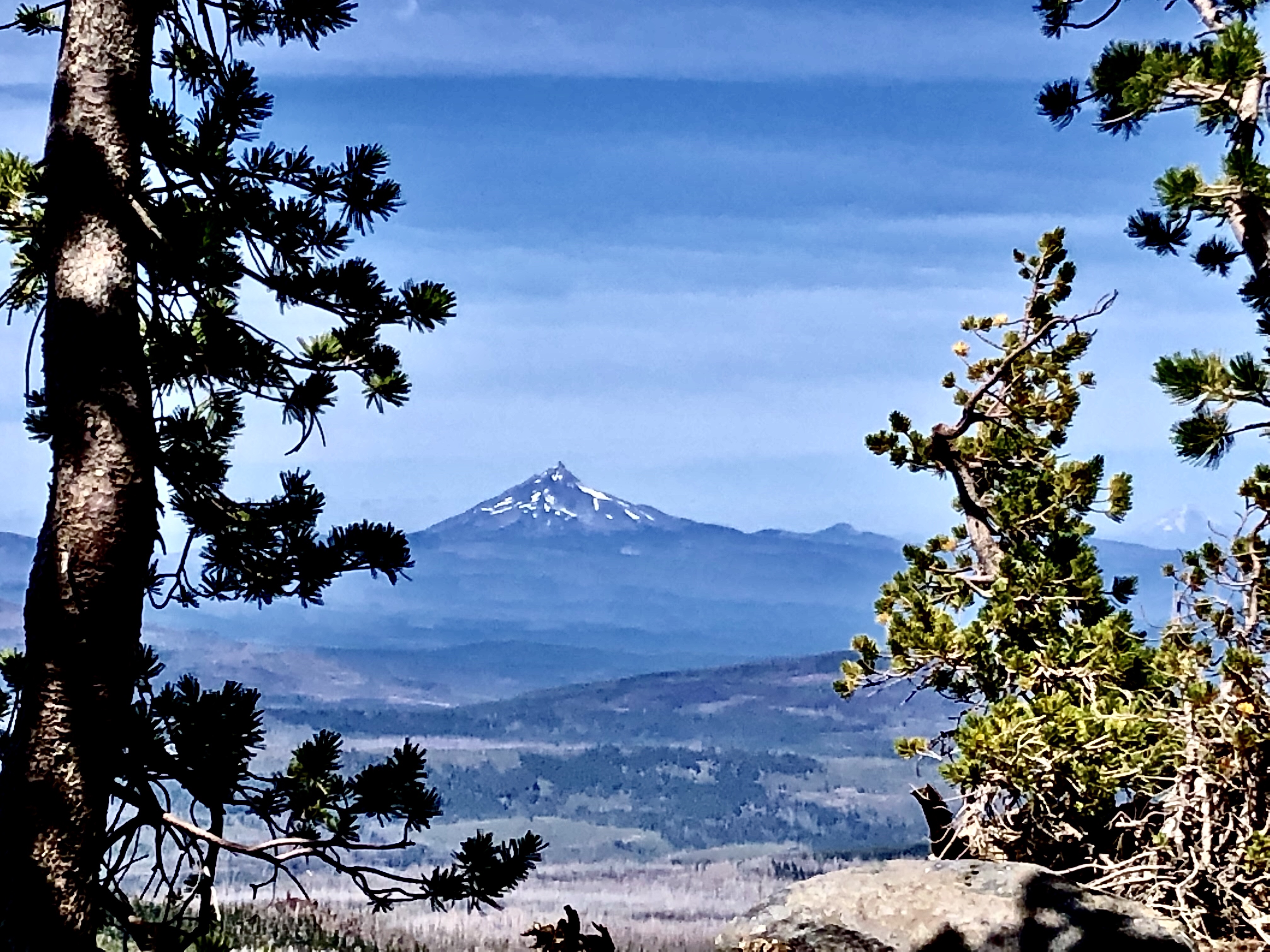
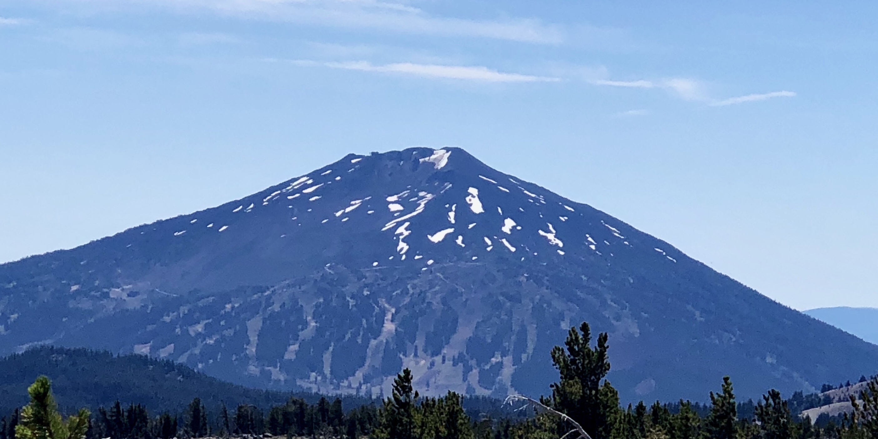
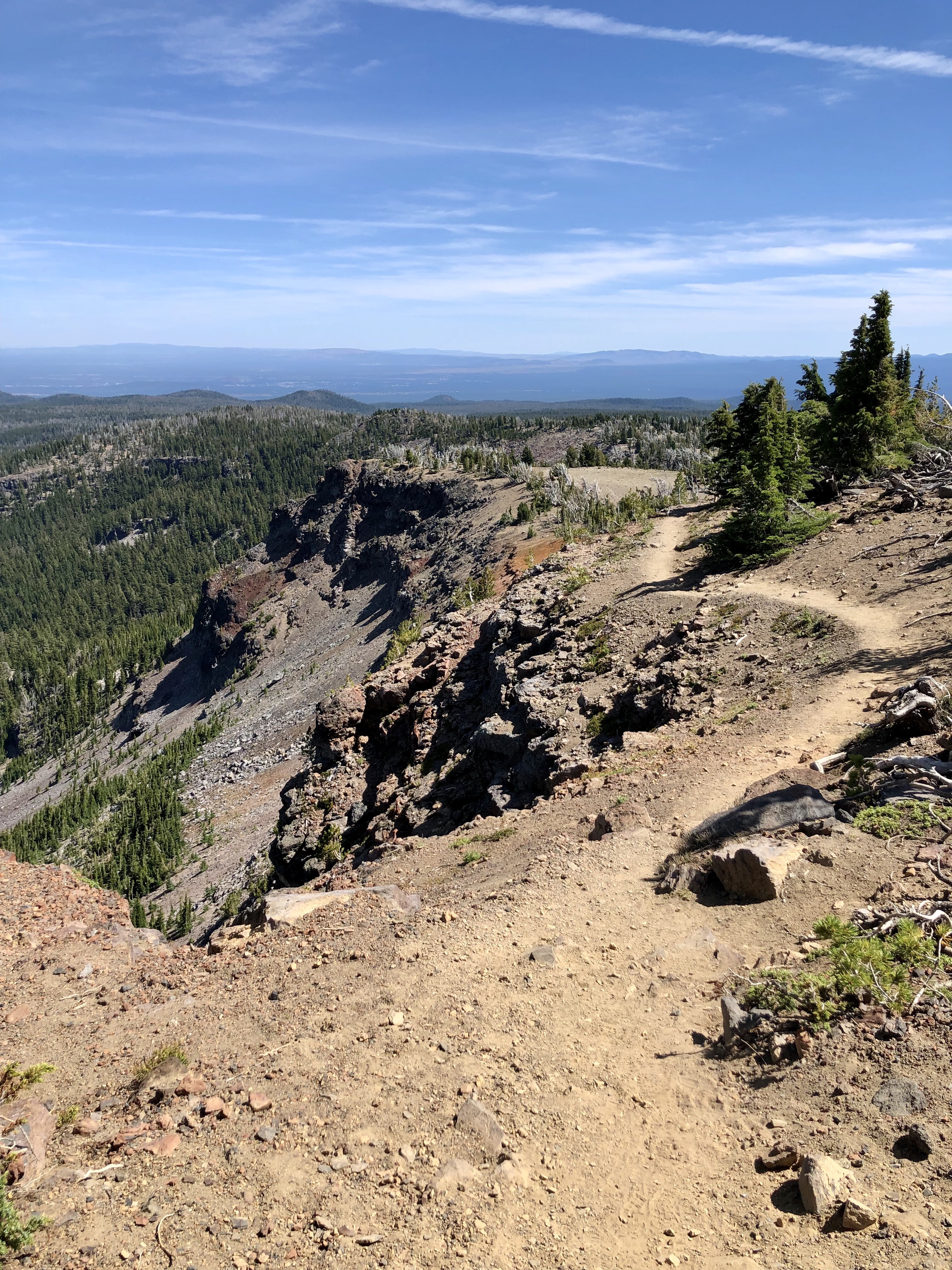
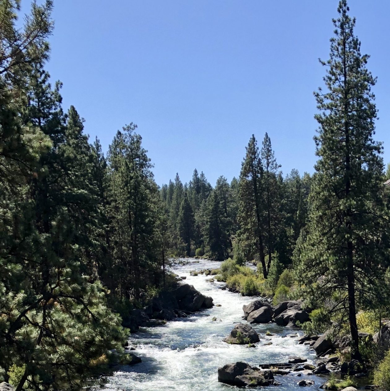
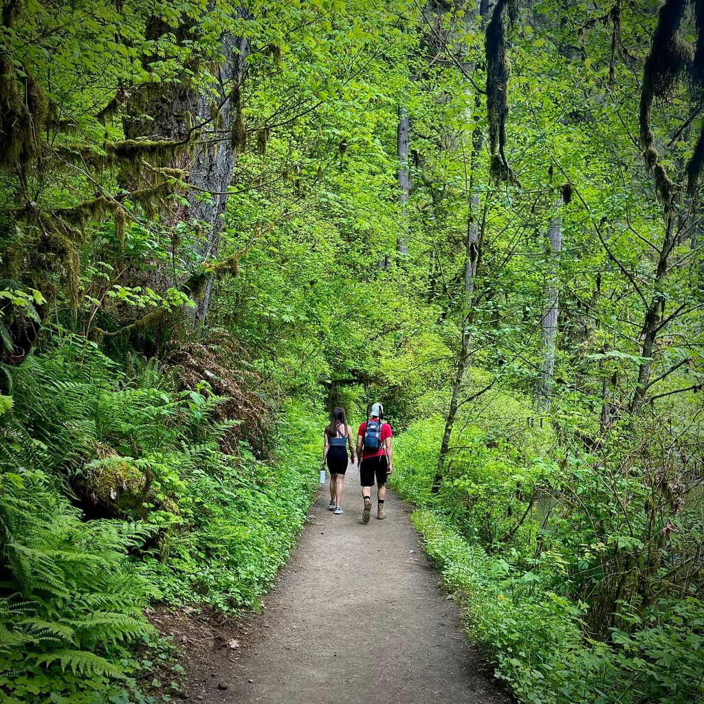
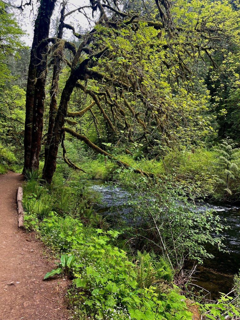
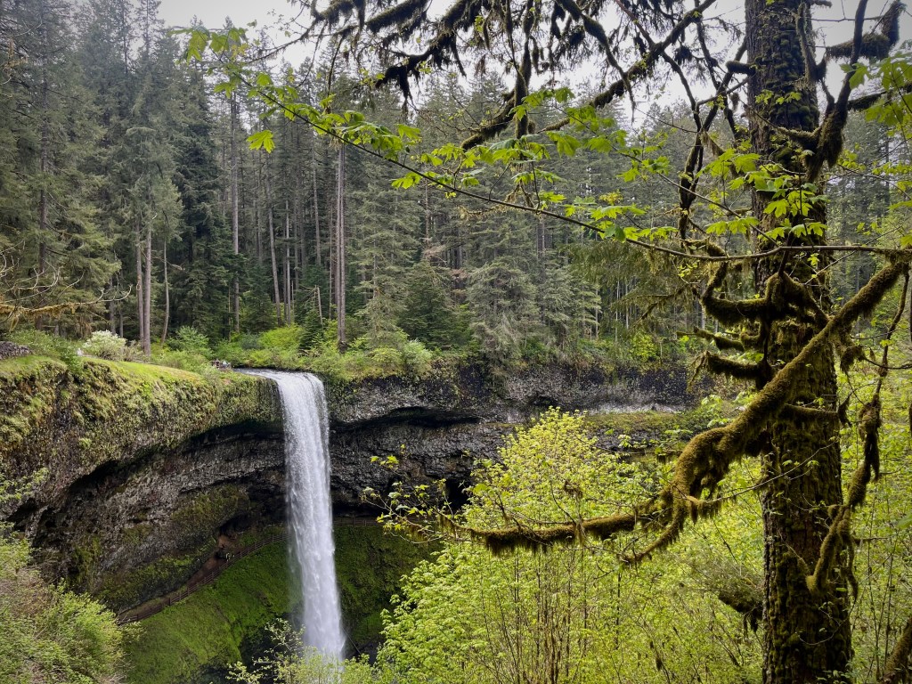
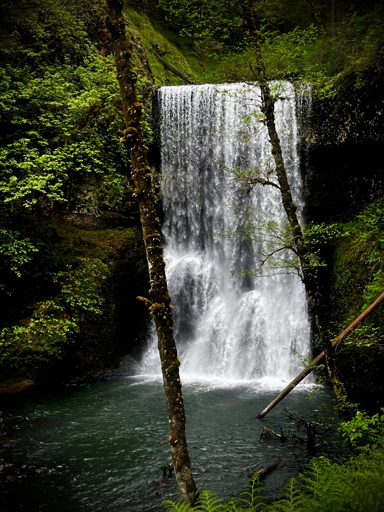
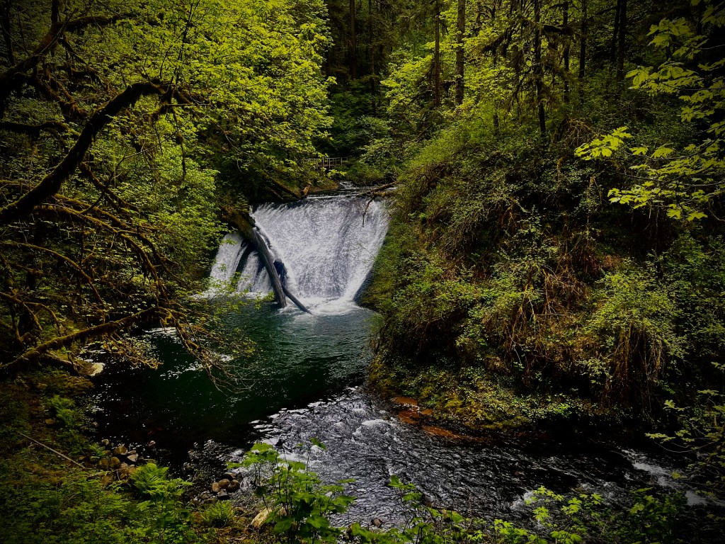
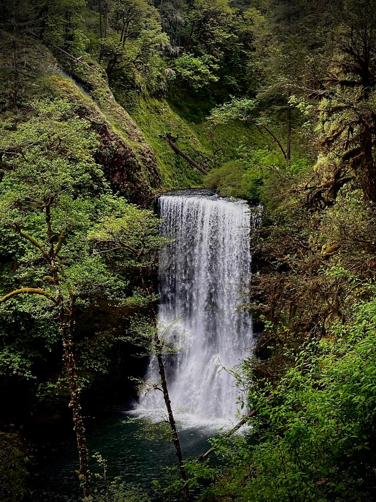
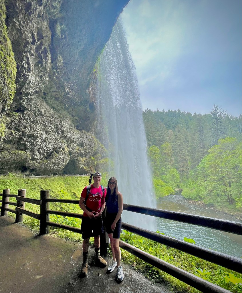
Silver Falls is the largest State Park in Oregon. It has a couple dozen miles of hiking paths across it’s 9,000 plus acres. In addition to that there are horse and bike trails as well. Silver Falls is a waterfall lovers paradise. You can see 10 stunning falls in less than an 8 mile hike. The forest is lush and spectacular, the stream are flowing and fabulous, but the star of this show is the waterfalls and boy are they certainly don’t disappoint. One would be happy with some of the little side show waterfalls that we are not even counting, but the 10 waterfalls are lovely, enchanting, and whimsical.
If you happen to be ’Pursuing Balance Through Adventure’ I cannot think of a better way than chasing waterfalls and at Silver Falls there are plenty to chase.
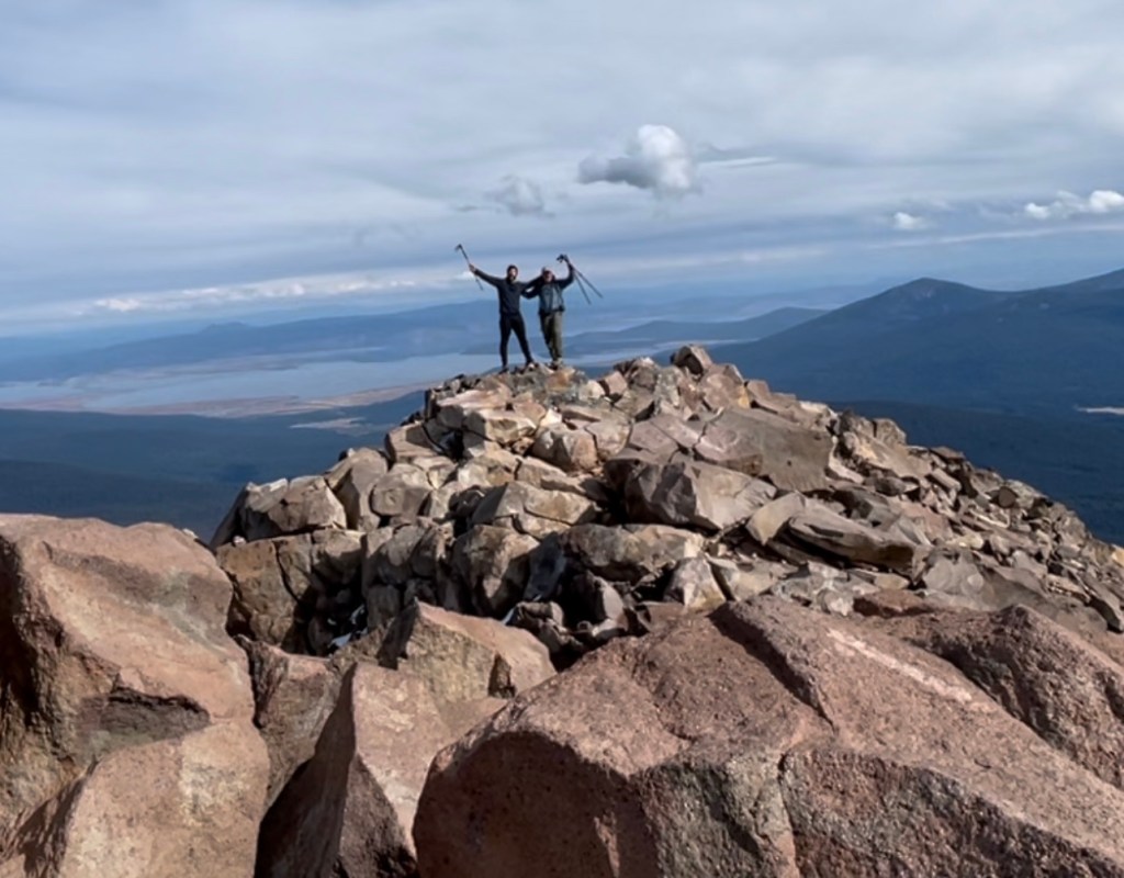
My son Alec summed it up like this: “If I could only go on one hike for the rest of my life it would be this one”. Marina nodded in agreement to her brothers statement.

Between the rocks of mountains
Emerged as the purest of spring
Gushing, whooshing and pushing
Over the rock by bashing and crushing
Ferocious water swash
Cold and strong making its own path
Tickling over pebbles
tumbling, whizzing and then swishing
Curving tight round the bend
Terrifying plunges wilder onto the rocks
Finally cascading down
Creating incredible splash
Loud with echoing sound
Leaving the waterfall starting to calm
Now flowing gently as a river
Leaving the trails of thrashing life behind.
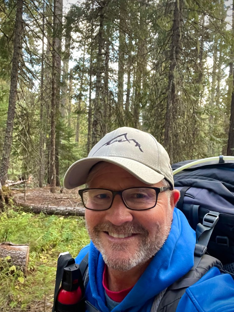
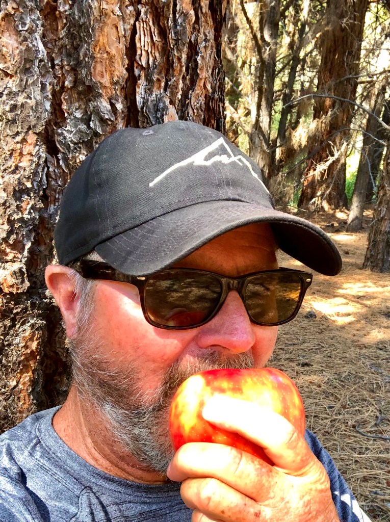
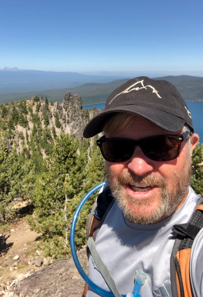
Thanks for joining Alec, Marina and I as part of our Chasing Waterfalls Road Trip at Silver Falls, certainly one of the most enchanting places we have ever been. Stay with us on this Road Trip as well as many other adventures by doing some super easy things: LIKE, COMMENT, FOLLOW and SHARE. If you like the hat and shirt that Alec has on in the pictures then I invite you to go to SHOP APPAREL for all of your Adventure Wear needs. PBTA travels extensively throughout the West if you go to the menu above you will see that the areas are categorized by area or activity. I am sure that this will fuel ideas when planning your next adventure.
Happy Trails-
Roger Jenkins
Pursuing Balance Through Adventure