Tag Archives: Day Hike

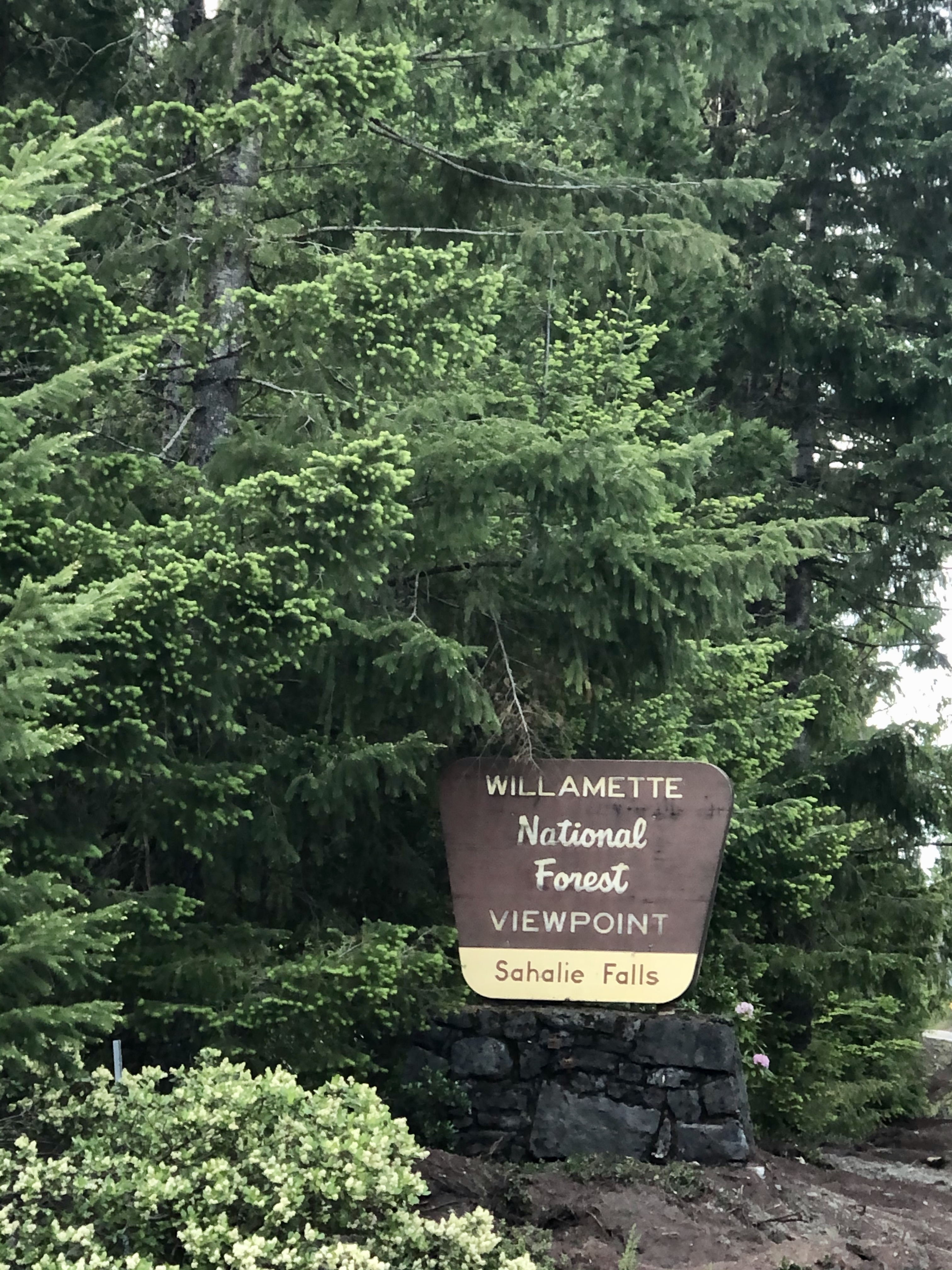
Sahalie Falls

WILLAMETTE NATIONAL FOREST

Activity: Scenic View Point, Chasing Waterfalls

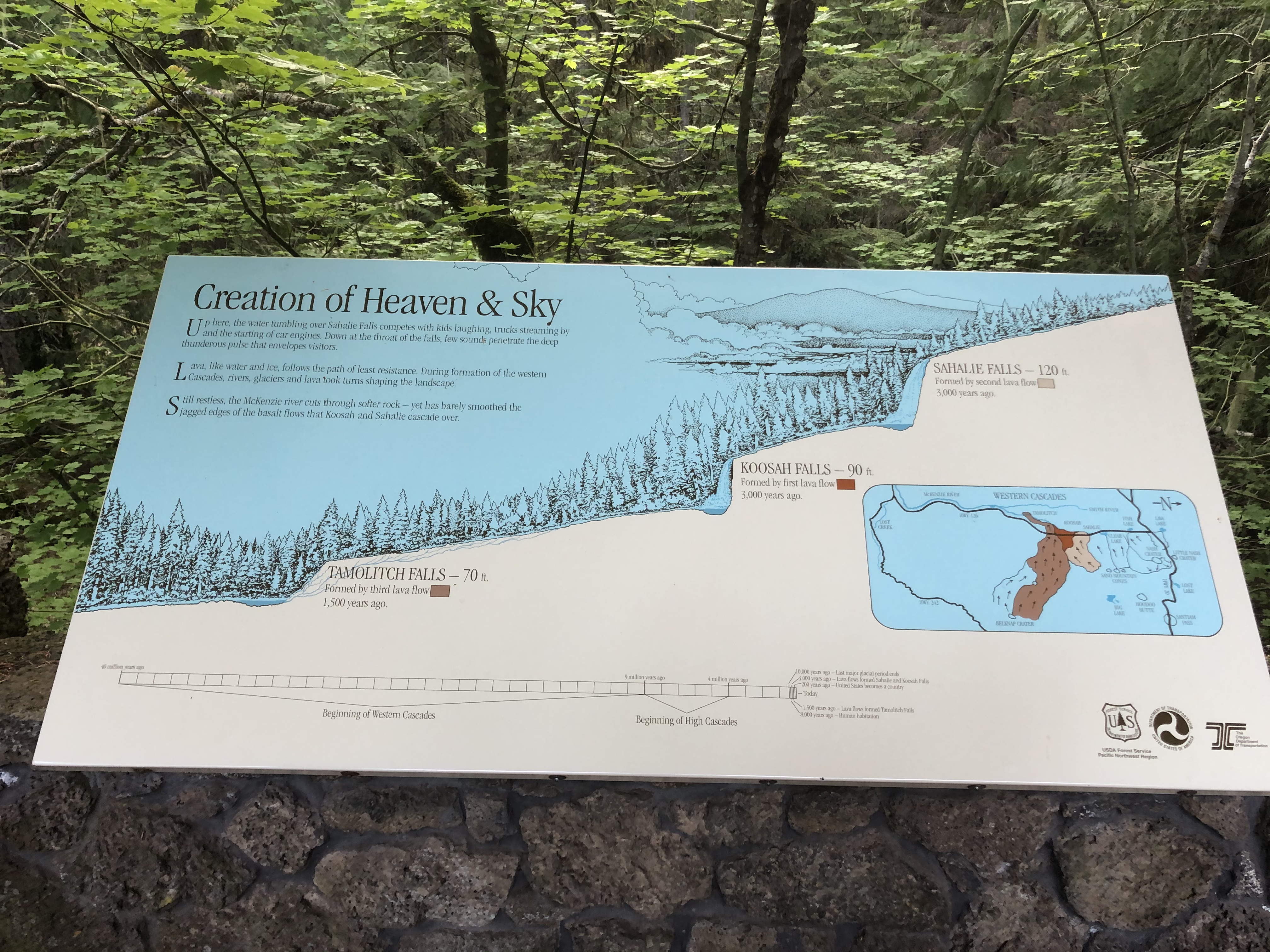
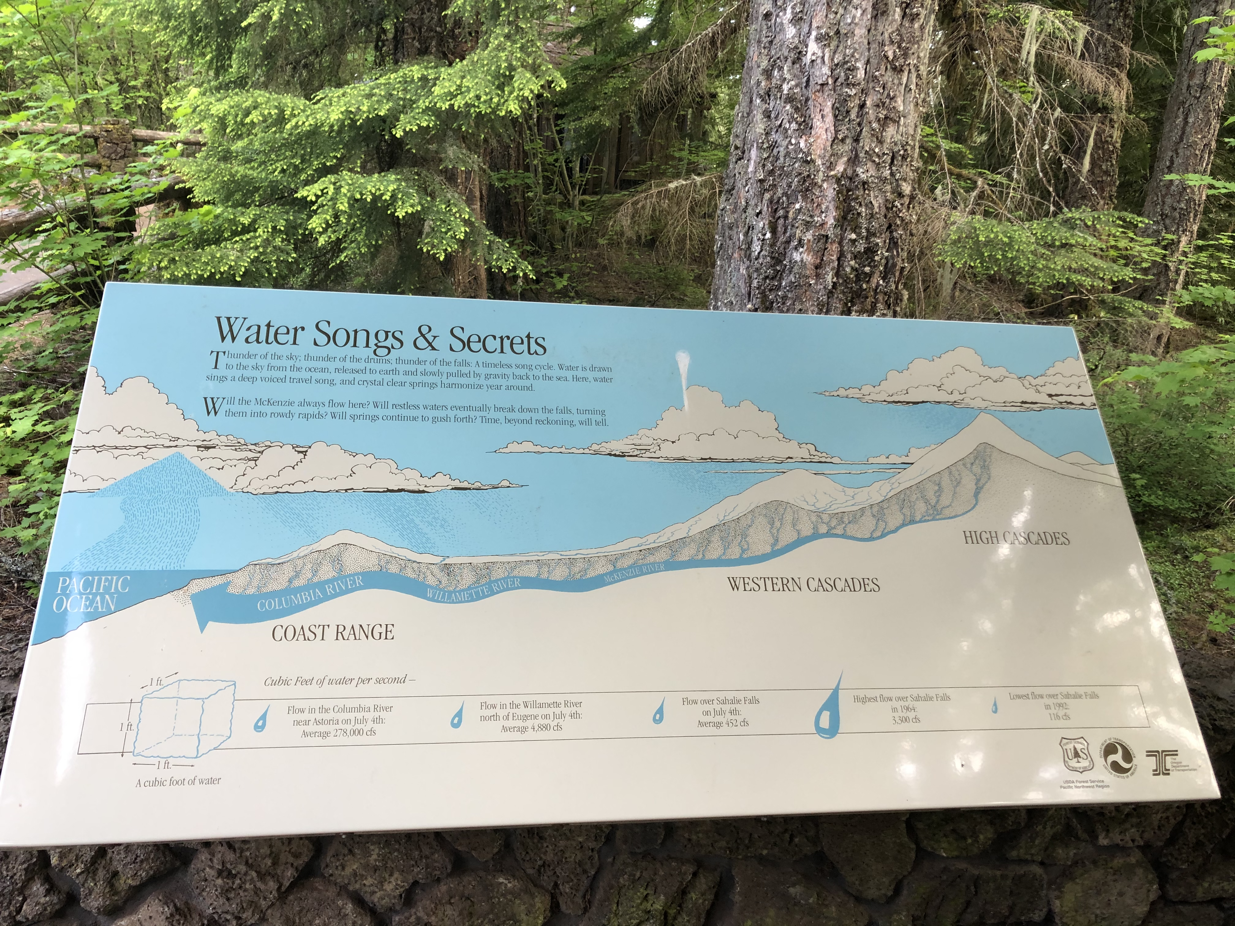
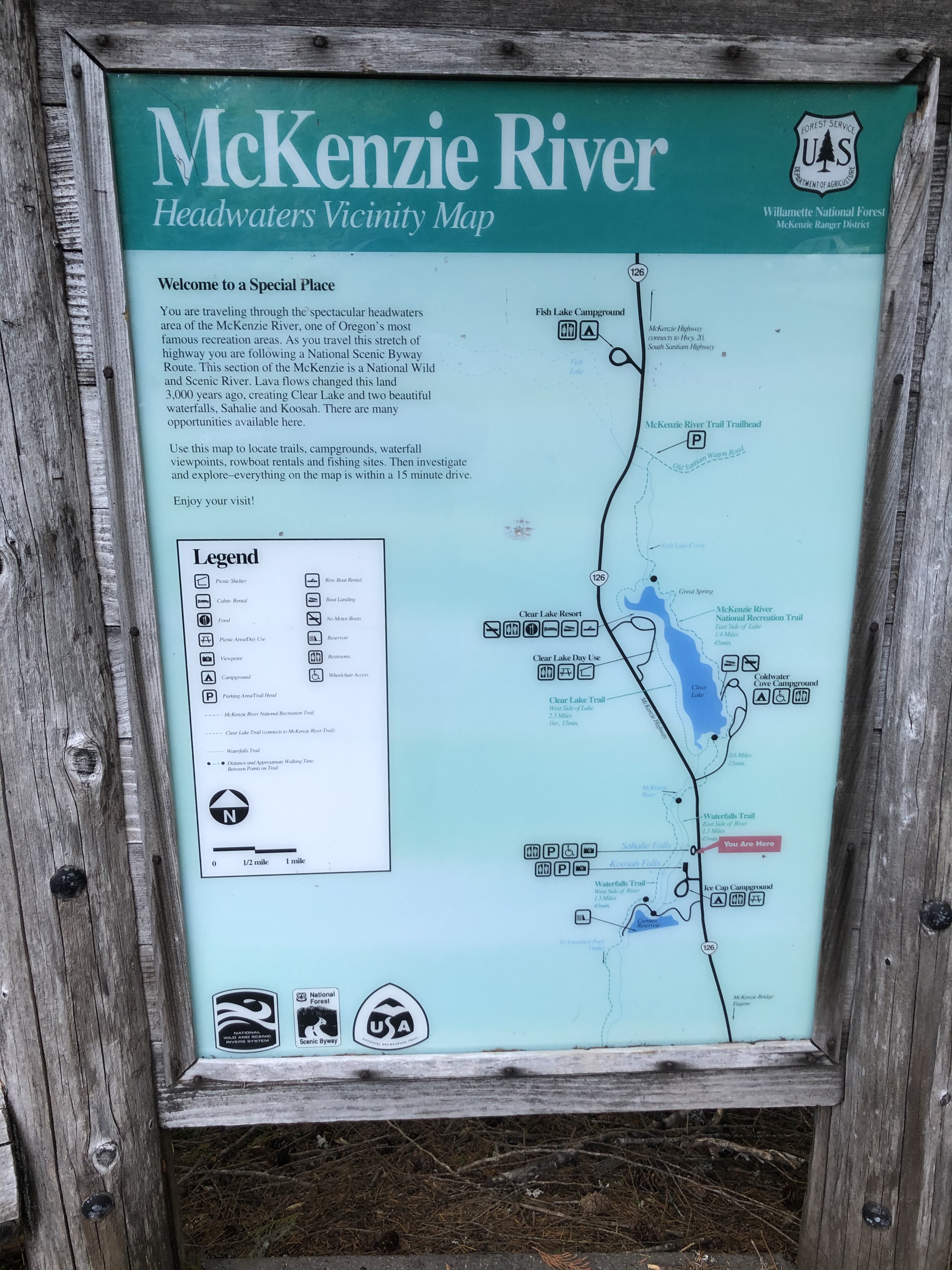
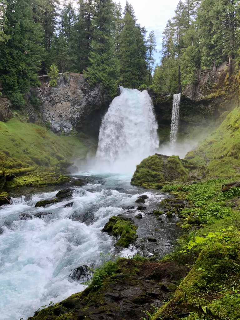
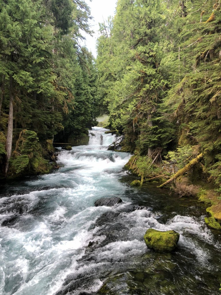
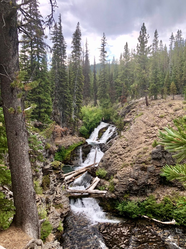
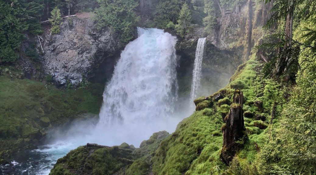
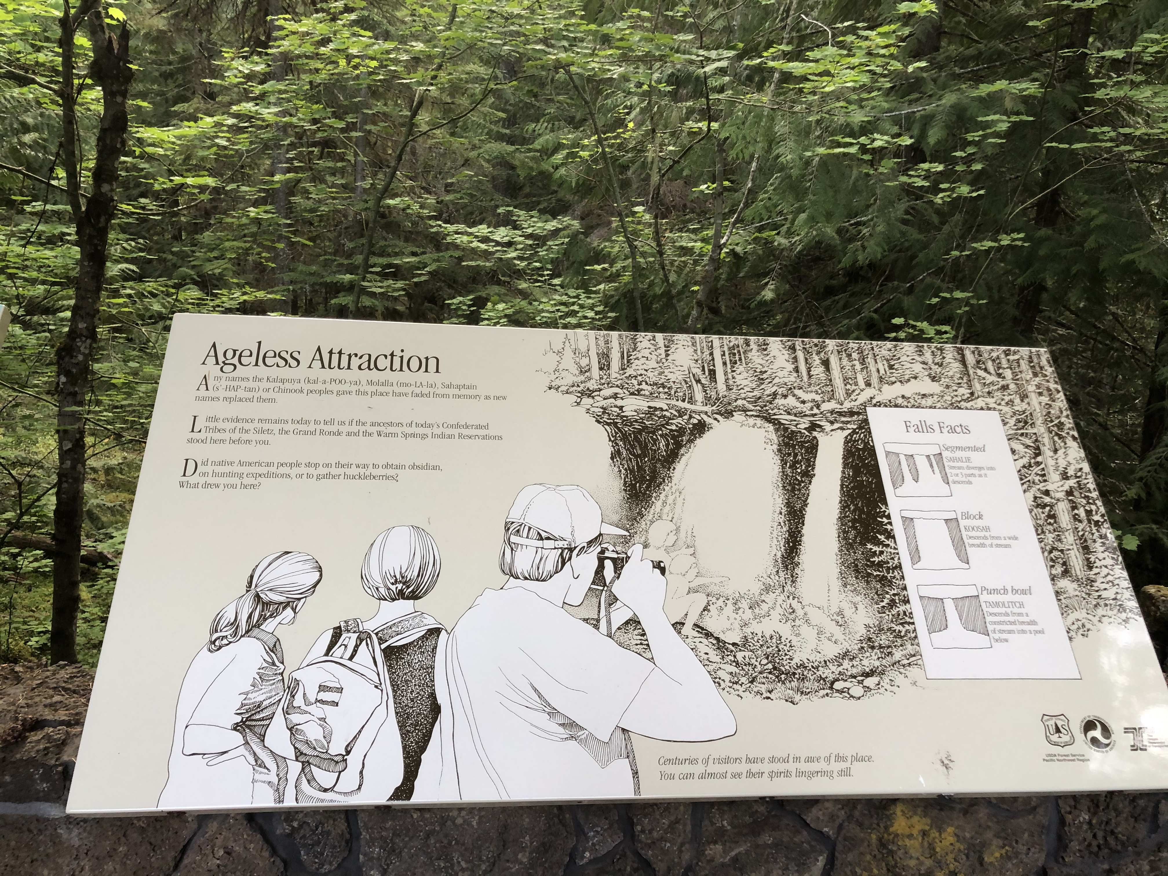
I was trekking across Central Oregon with my good friend and Fraternity Brother Bruce leading the way. He was kind enough to share his expertise and local knowledge on the area. We stopped at extraordinary Sahalie Falls. We had squeezed in many fantastic adventures during our 3 days enjoying this magnificent place called Oregon. So unfortunately our final day was running to an end and thus we did not have time for much of a hike at the falls. Still, we did go above the falls as well as down stream to partake in the wondrous views of this gorgeous spectacle.

Bruce could tell that I was astounded by what was before me. Upon first sight of the Sahalie Falls my eyes widened and my jaw dropped. I love chasing waterfalls, so it was not like I have not seen a lot of wonderful falls. But the power of the McKenzie River was quite literally launching the stream into space. This is a must do, and even my Fraternity Brother who lives in Central Oregon will make a stop here just to check it out when passing by.
There Is Nothing Like A Waterfall 

There is nothing like a waterfall
When rhododendrons bloom in spring
The sound and the earthy smells
Two of the joys that nature brings.

Green moss grows on everything
A soft and spongy feel
So magnificent the scene is
Why, it doesn’t seem quite real.

Just listen and close your eyes
The world just floats on by
There is nothing like a waterfall 

by Marilyn Lott

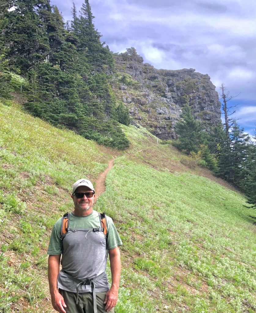
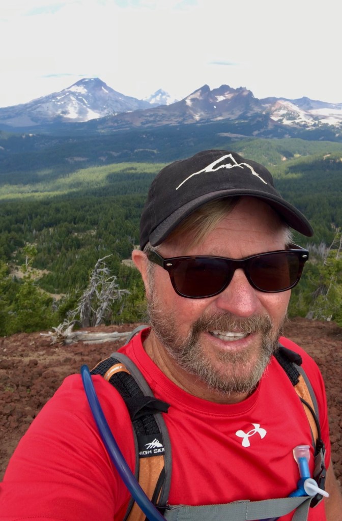
We appreciate you chasing Sahalie Falls with us. It’s time for you to go out and find an adventure that can ignite the passion of your soul, while you stretch your legs, feel the light spray from the waterfall on your face, and drink in all that Mother Nature has blessed us with… or heck you certainly can tag along with us as we continue ‘Pursuing Balance Through Adventure’, – We’re perfectly fine with that, but to do so you will need to FOLLOW, SHARE, COMMENT, and LIKE.  If however, you are ready to find an adventure there are plenty to inspire you just go to the menu above. Each of the locations is a separate website and thus needs to be FOLLOWED Independently. Yes, that is a PBTA cap atop my noggin. You can buy one at SHOP APPAREL where there is currently a SPECIAL DEAL going on. 

Happy Trails-

Roger Jenkins

Pursuing Balance Through Adventure
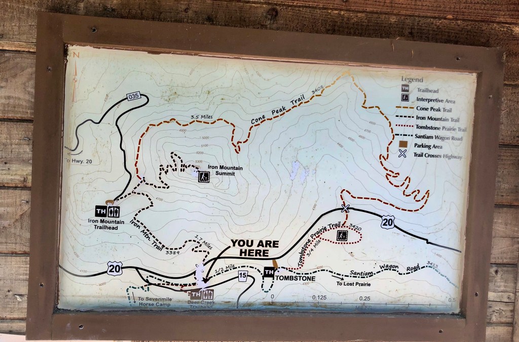
Iron Mountain Trail

WILLAMETTE NATIONAL FOREST

CASCADIA, OREGON

Activity: Day Hike, Peak Bagging

Distance: 4.5 miles, elevation: 5,476’, 1,276’ elevation gain, >2 hours duration, rated Hard

Date: 6-4-20

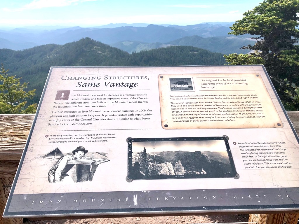
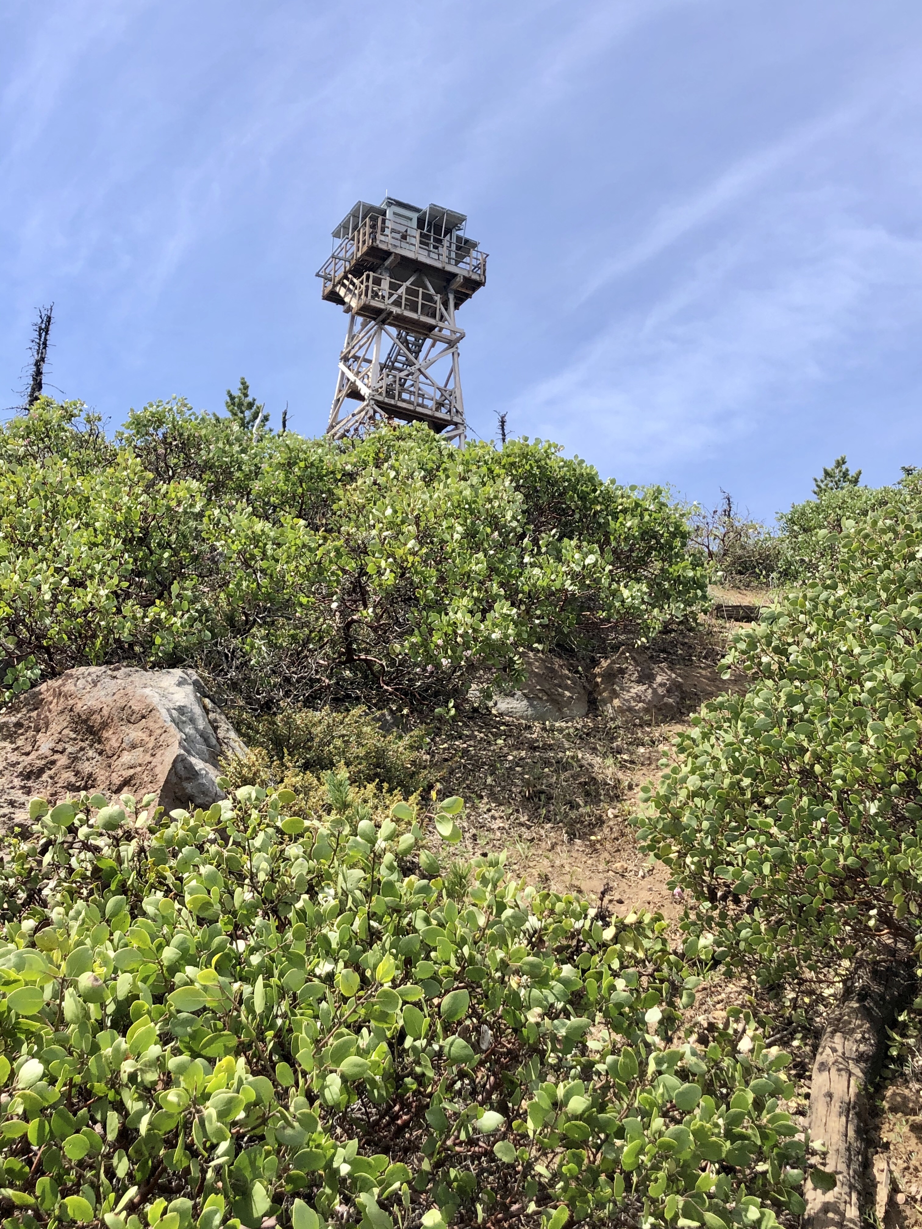
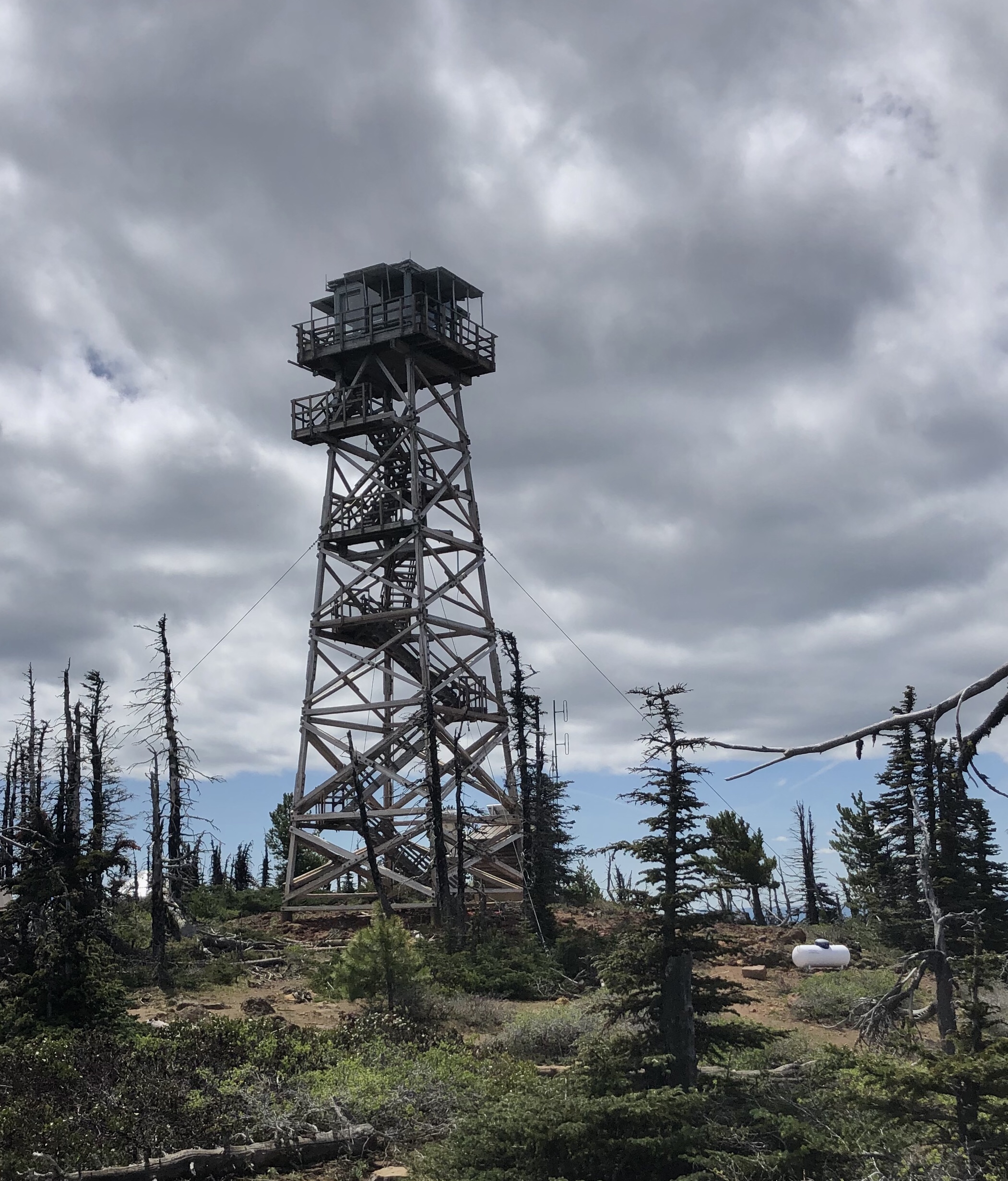
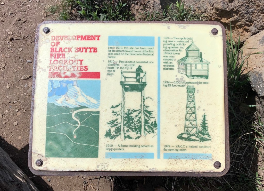
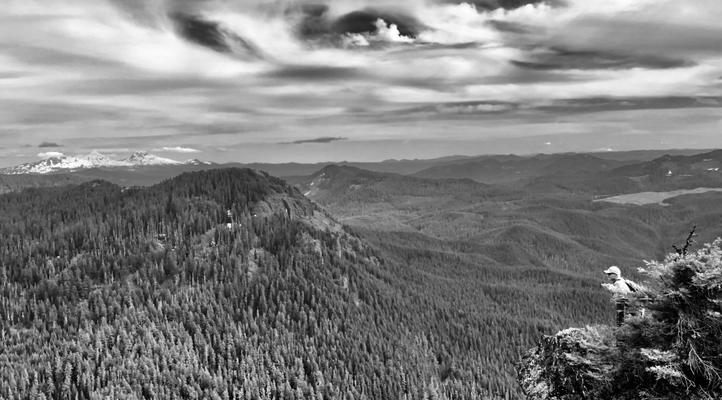
“Iron Mountain is a large jagged rock, situated in very rough country,” was an early description of this adventure describing the perch over looking the Santiam portion of the Willamette National Forest. It would be used at different times over the years as a fire lookout and it would be destroyed more than once by heavy snow, high winds, and wildfire.

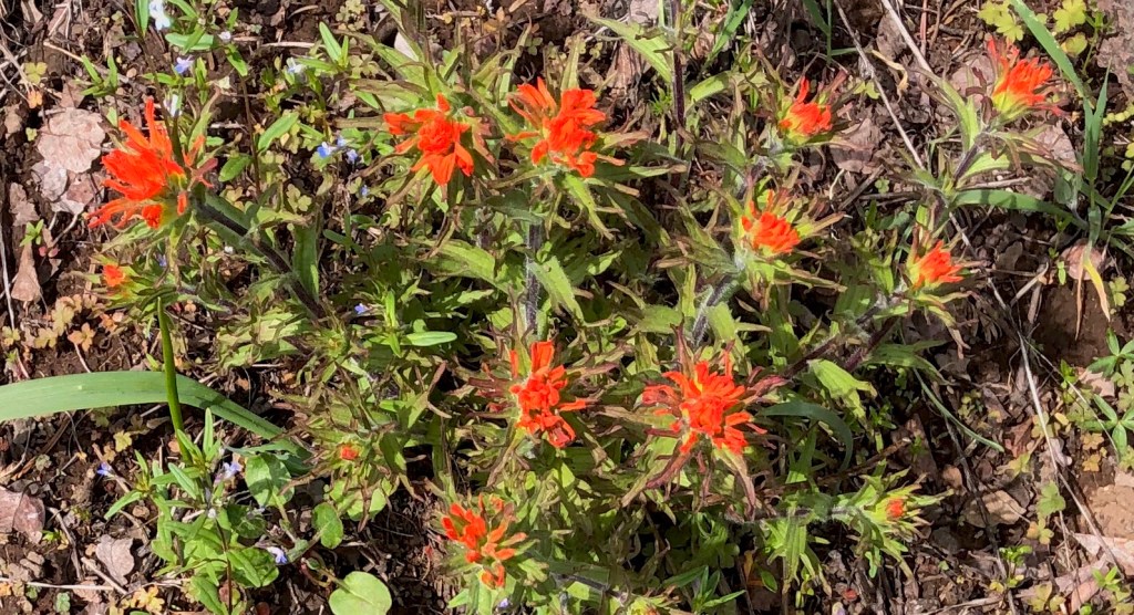
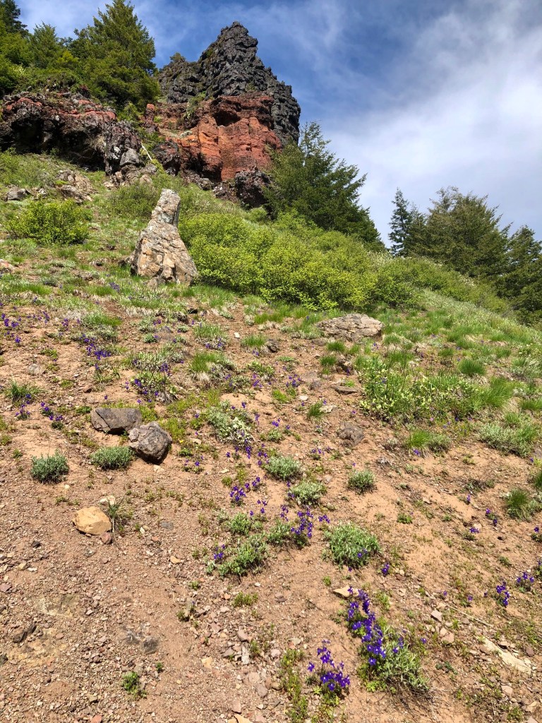
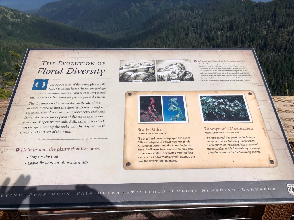
We were on Iron Mountain early Summer of 2020. There were a good amount of wildflowers decorating the landscape and to be sure this spot is well know for it’s flowers due to the rich soil. The biggest bloom, I understand, takes place in July, but even just after snow melt the flowers ’Spring’ to life and there are blooms through out the Summer.

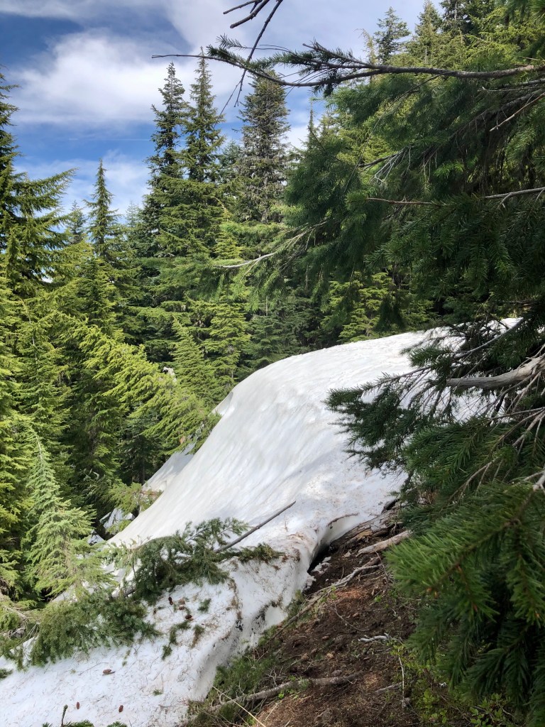
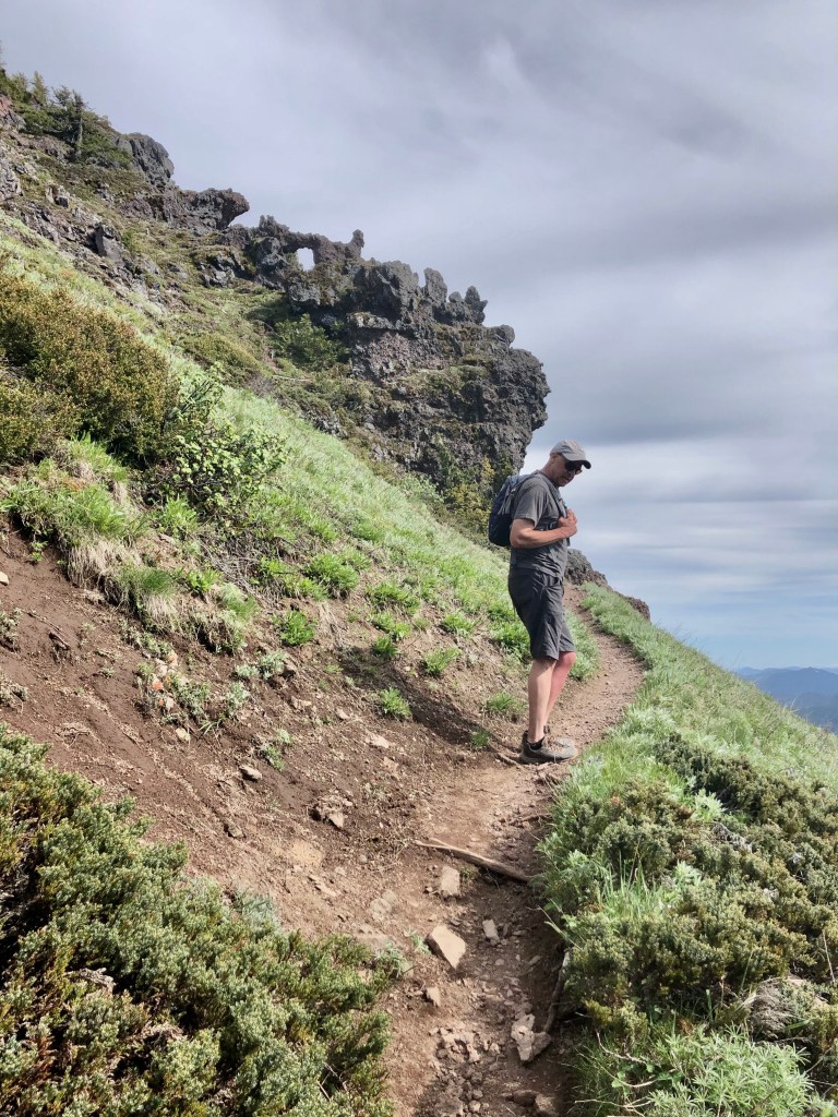
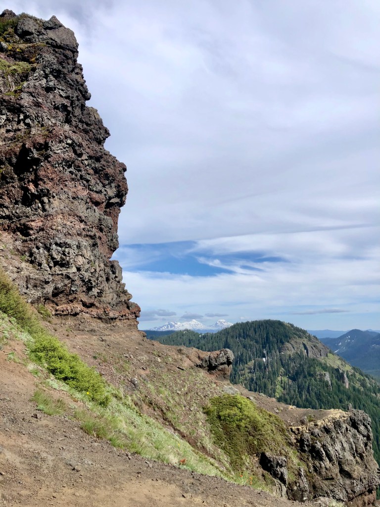
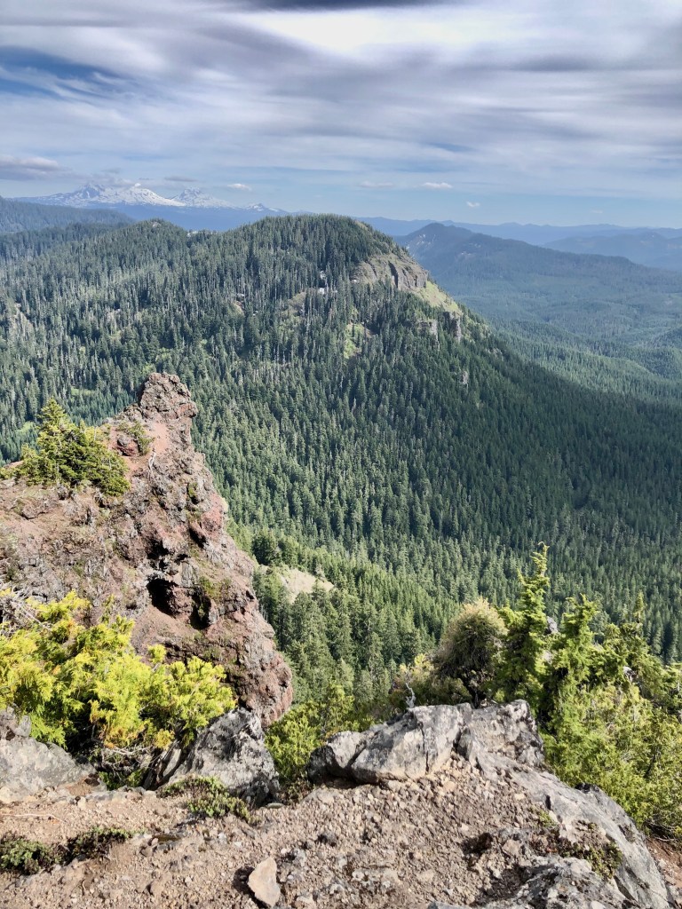
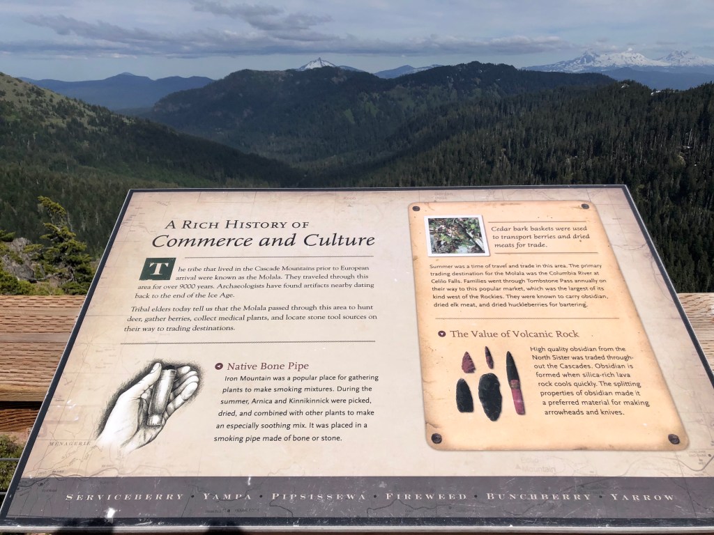
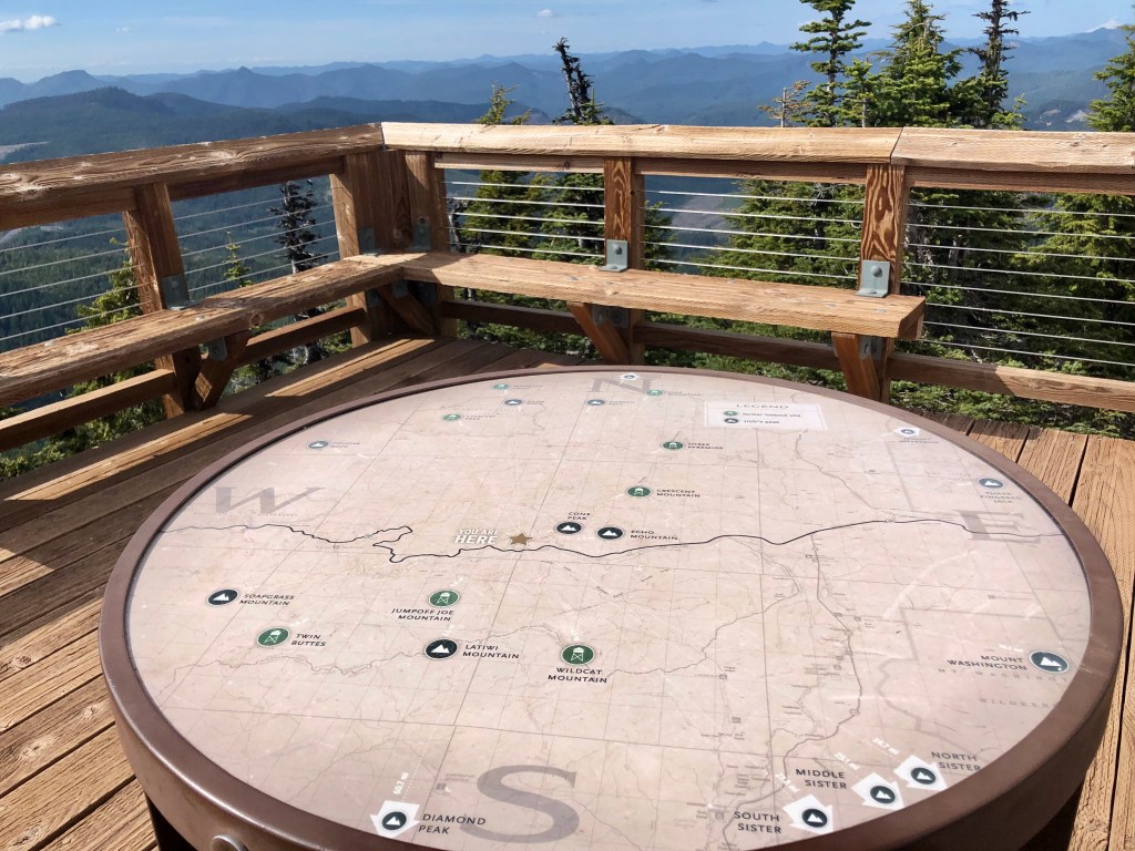
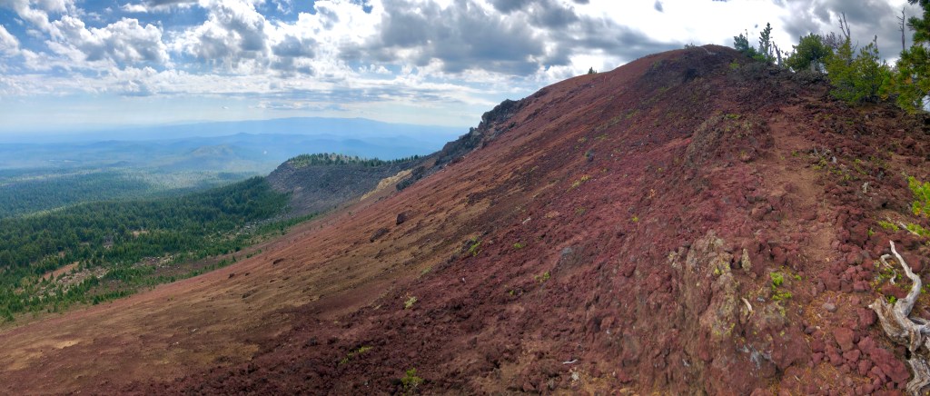
The day that my college fraternity brother Bruce introduced me to this splendid hike was a warm Summer Oregon day with a mixture of blue skies and whimsical clouds. The hike found us ambling through quiet forests, thick with wondrous fir trees, as well as green meadows dotted with beautiful wildflowers. Then on to some switch backs, passed scraggy volcanic rock, a left over section of snow, and then out on the top with fabulous views of lush evergreens as far as the eye could see, with boundless layers of mountainous ridges, and snowy peaks far in the distance.

Sadly late in the Summer the area was besieged once again by wildfire, and as of this late posting, (Oct 2020), it is closed for that reason.

Oh worrisome thoughts of what has become of this tranquil place. The kind of place that one might find balance from an otherwise over worked, over stressed, over political world that – oh yeah just happens to be smack dab in a pandemic, with a side of firestorm to boot. Prayers for the firefighters, prayers for Mother Nature, prayers for us all.

Hey thanks for joining my fraternity bro Bruce and myself on this joyous journey in nature, while ‘Pursuing Balance Through Adventure’. Don’t forget to COMMENT, FOLLOW, LIKE and SHARE. There is still more coming up in regards to Beautiful, Fabulous, Wonderful Oregon and if you go to the menu above you will discover that PBTA goes to many spectacular locations to give you inspiration. You don’t need to thank me, that’s my job. Speaking of which, if you would like to support PBTA then I just got a big shipment of T-Shirts: (thinking that maybe you don’t need the best, top quality gear maybe you just want a darn T-Shirt, well then boom gotcha covered) SHOP APPAREL.

Checkout the Free Drawing for Free PBTA Merch which runs through 11-15-20.  

Happy Trails-

Roger Jenkins

Pursuing Balance Through Adventure
Head of the Metolius

Deschutes National Forest

Near Camp Sherman

Activity: Sight Seeing, Nature Walk

Distance half mile, elevation change 30’, rated EASY

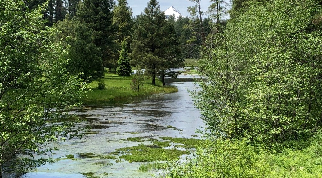
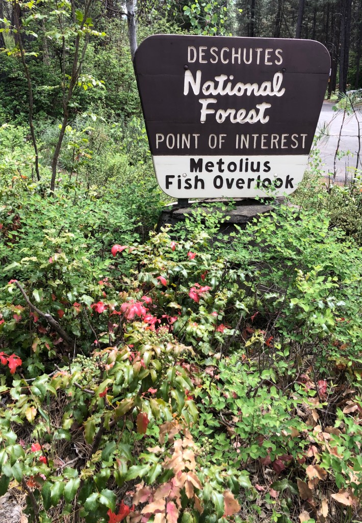
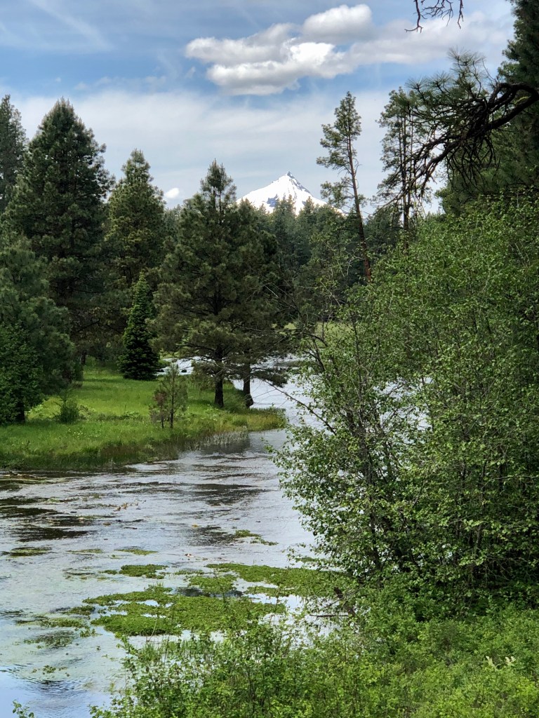
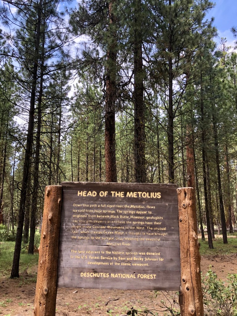
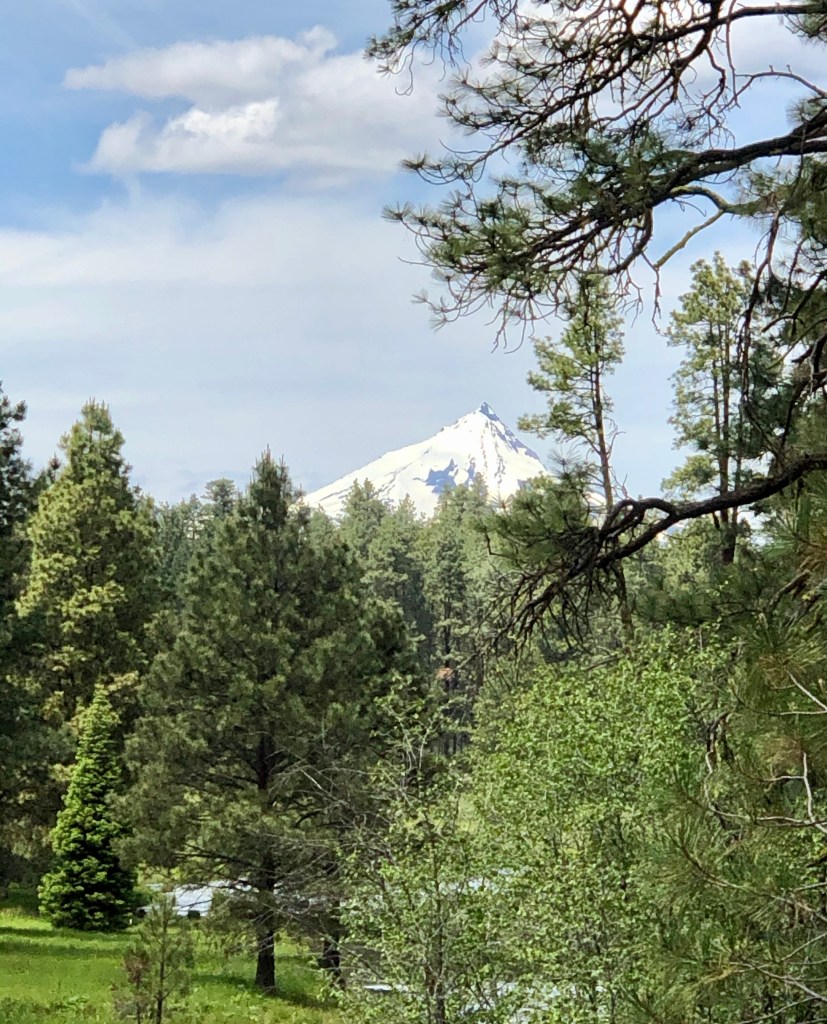
This is not really a hike. It is more of a nice little outing in nature. Just a real pleasant walk through Ponderosa Pines, to a quiet and tranquil scene of a slow flowIng river that started at that spot. Along with the spectacular river scene, which is absolutely idyllic, you will take in picturesque green meadows, beautiful fir trees and Mt Jefferson perfectly framed.  What a zen like place.

What is unusual about the phenomenon that is the Head of the Metolius is that most of the time rivers are started by mountain snow run off, or a bunch of springs all which join together over a pretty good chunk of land to form a river, that is not the case here. The Head Waters of the Metolius River comes right out of the ground right at that spot, and not in a trickle by any means. We are talking 50,000 gallons a minute.

After checking out this peaceful setting we stopped by the quintessential General Store type of establishment that is a must do. Just outside the doors the river runs by and there is great fishing to be had.

Really cool outing for the whole family.

Thanks to my good friend Bruce for sharing this enchanting scene as we adventured across Central Oregon, and thank you for joining us ‘Pursuing Balance Through Adventure’. If you liked the post then take a second and COMMENT, LIKE, FOLLOW and SHARE. If you glance up at the menu you will see that PBTA goes to many different locations you might just find a few to put on your list. Please note that each locations is a separate site and thus needs to be FOLLOWED independently. For the very best quality adventure gear stop by PBTA’s SHOP APPAREL.

Happy Trails-

Roger Jenkins

Pursuing Balance Through Adventure
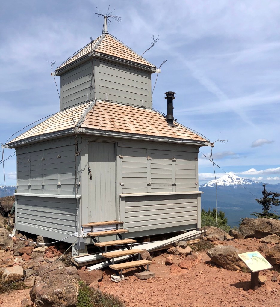
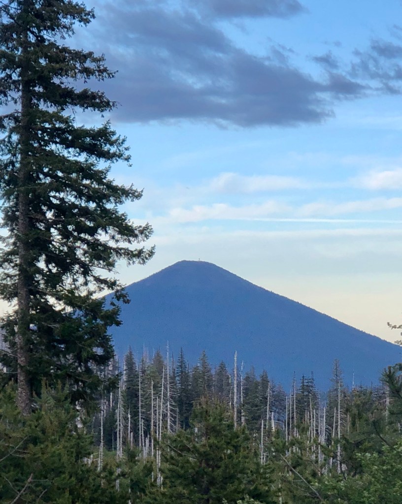
Black Butte

CAMP SHERMAN, OREGON

DESCHUTES NATIONAL FOREST

Activity: Day Hike, Peak Bagging

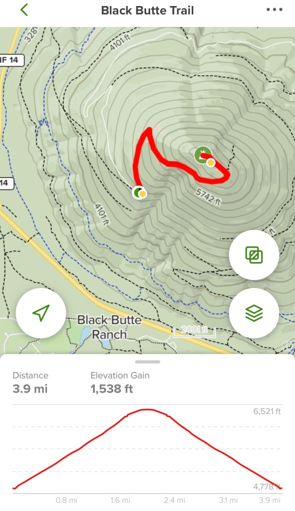
4 miles, 6,436’ elevation, 1,538’ elevation change, 3 hour duration, rated Moderate

June 4, 2020

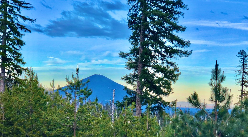
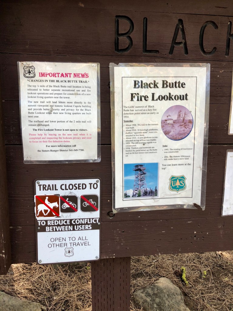
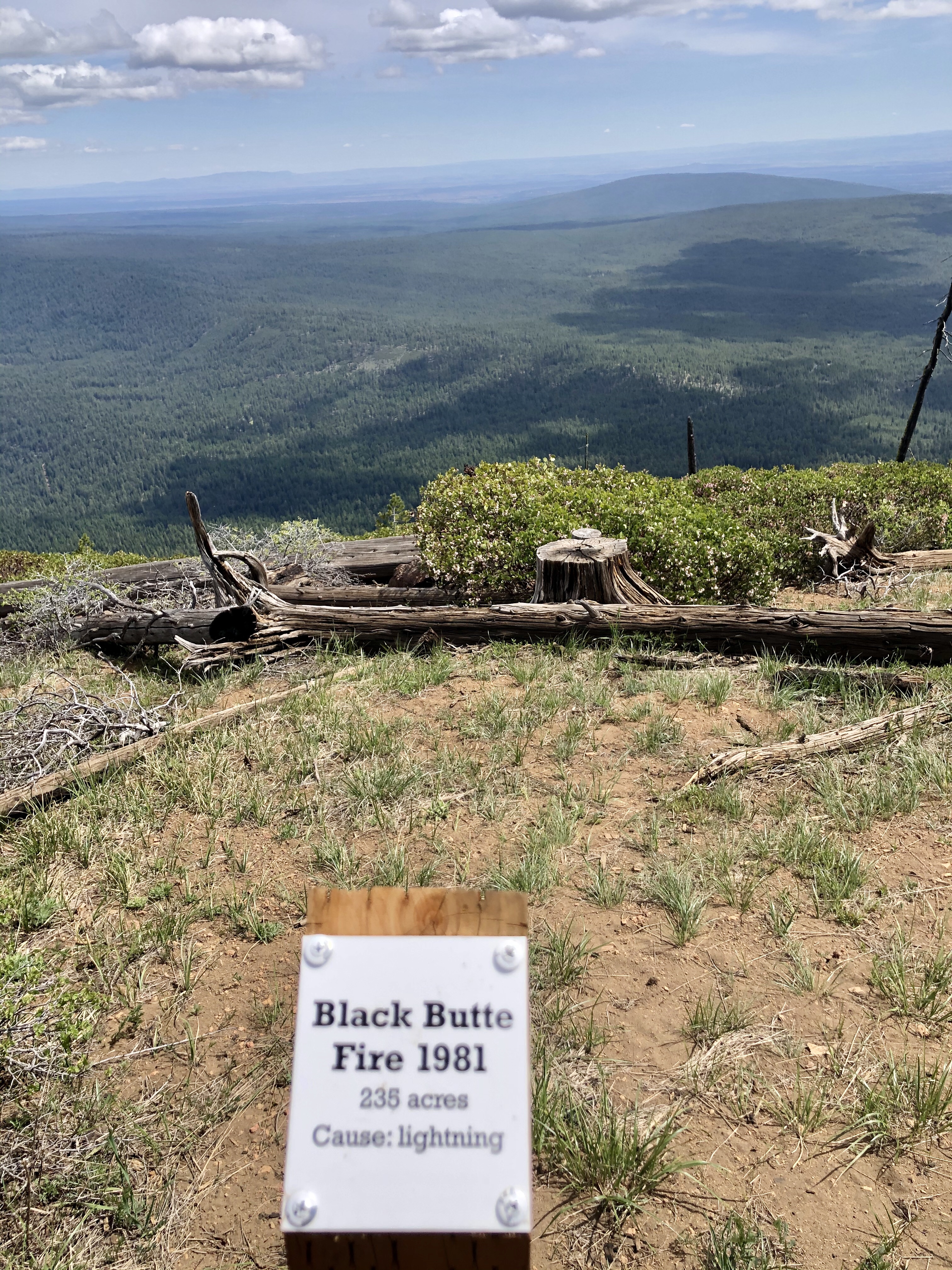
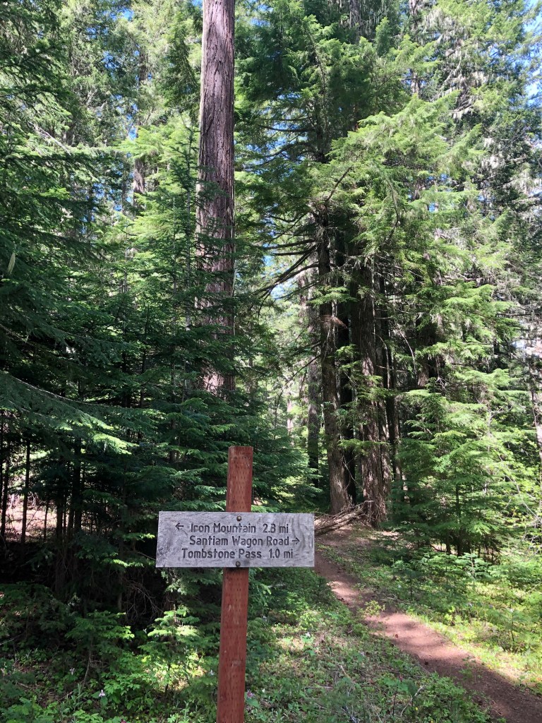
Black Butte Trail is a fun and popular hike in Central Oregon not far from Bend. The views along the way are worth the price of admission, which by the way you will need an America the Beautiful or other more local pass for parking. Like many of the mountains in the area Black Butte has volcanic origins. It is an extinct stratovolcano.

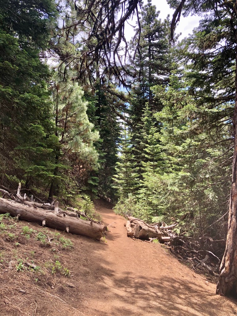
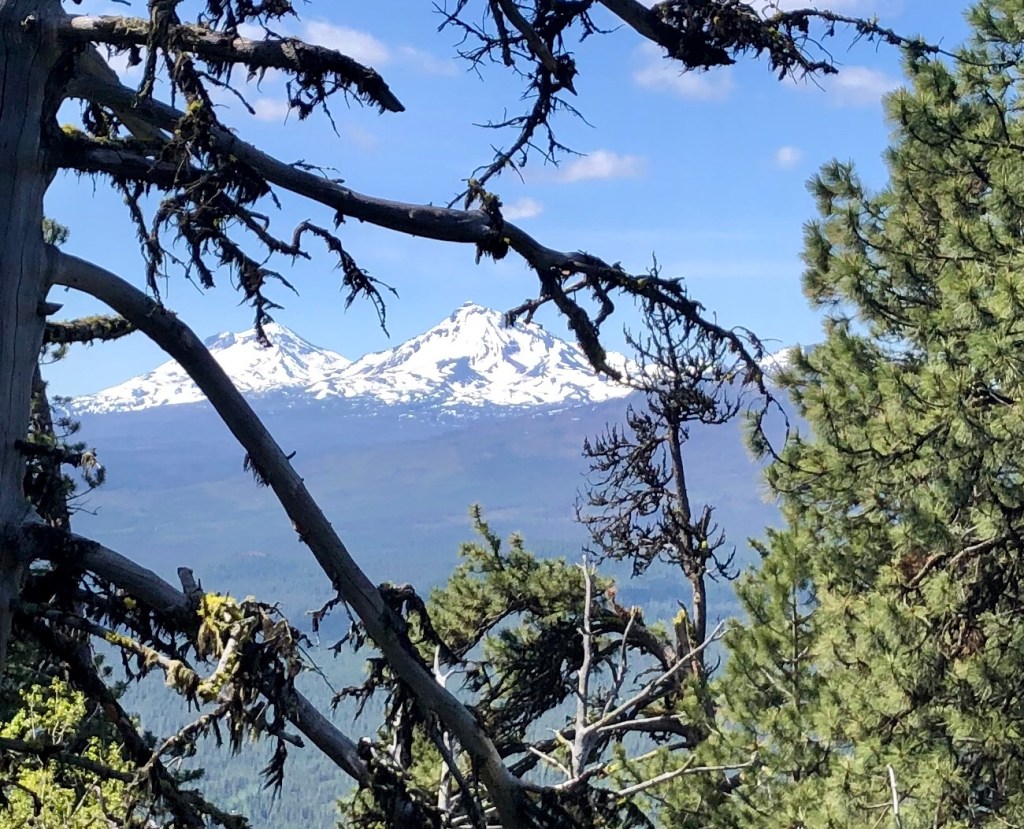
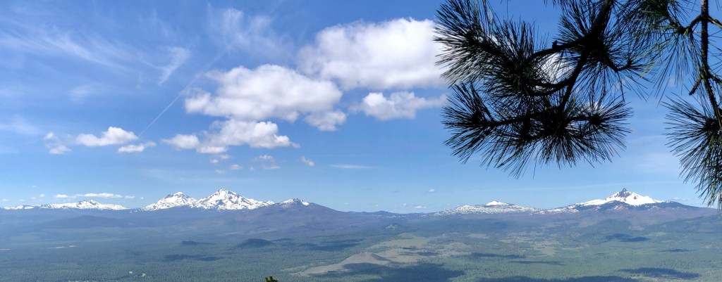
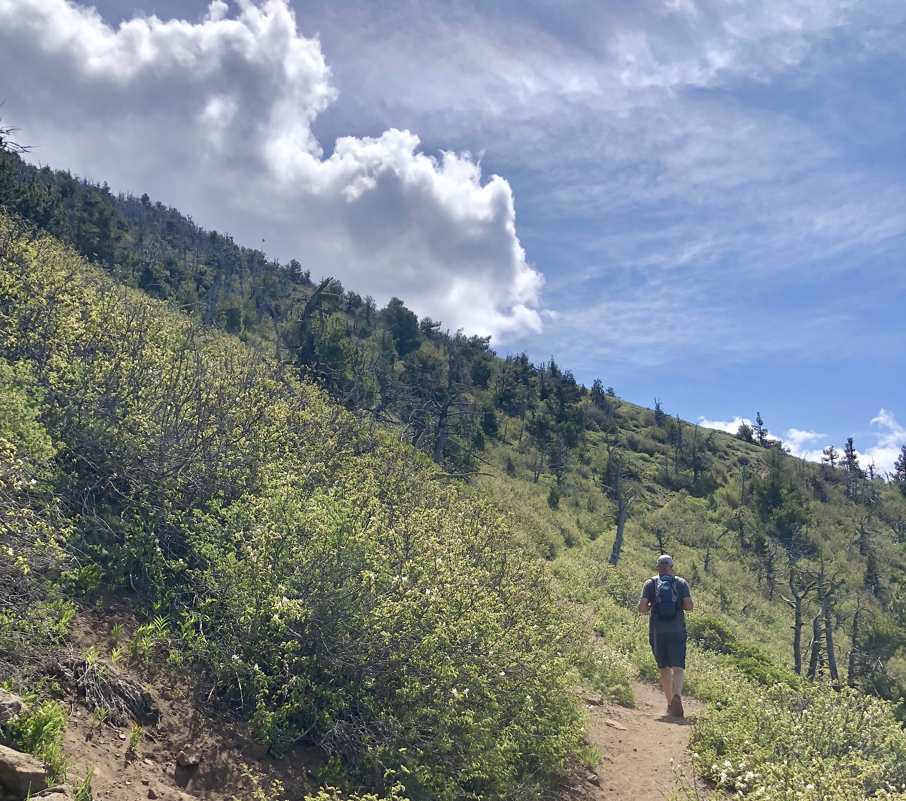
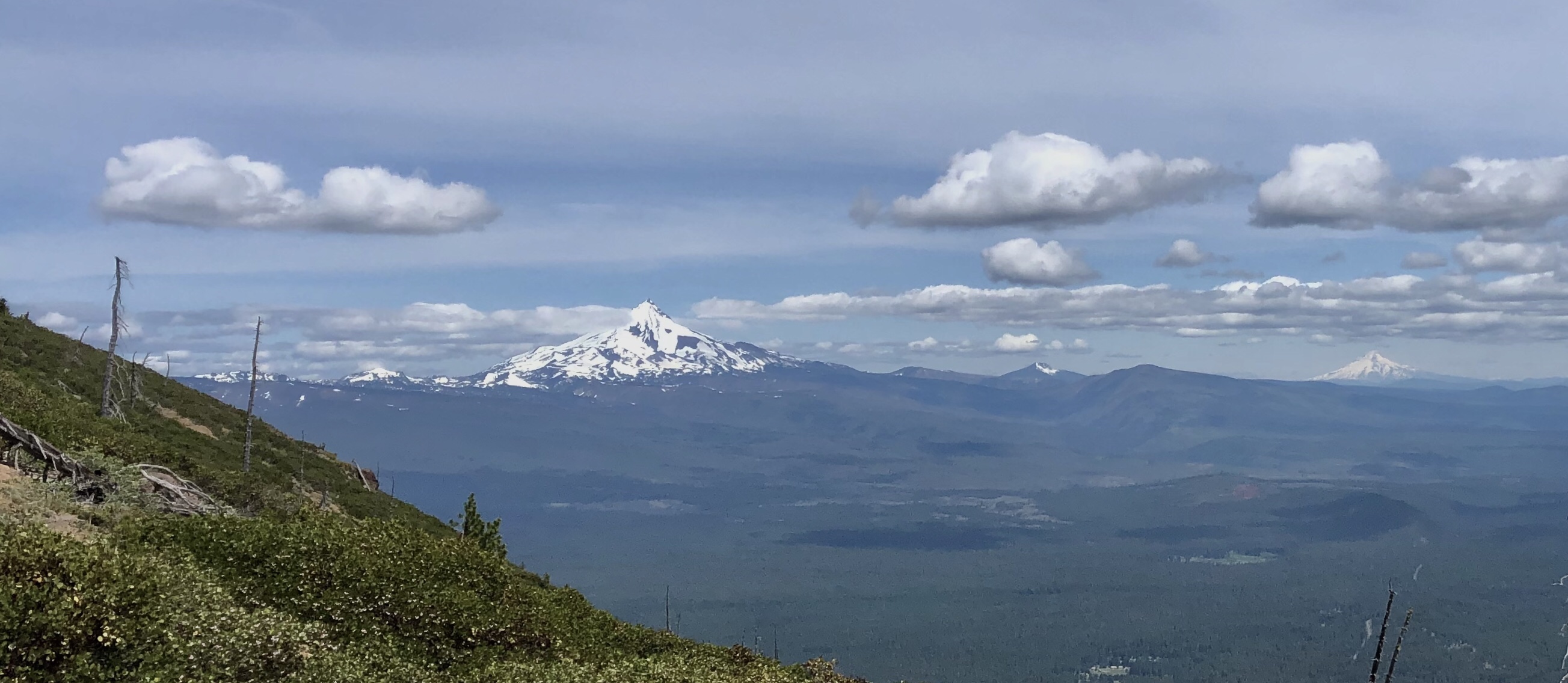
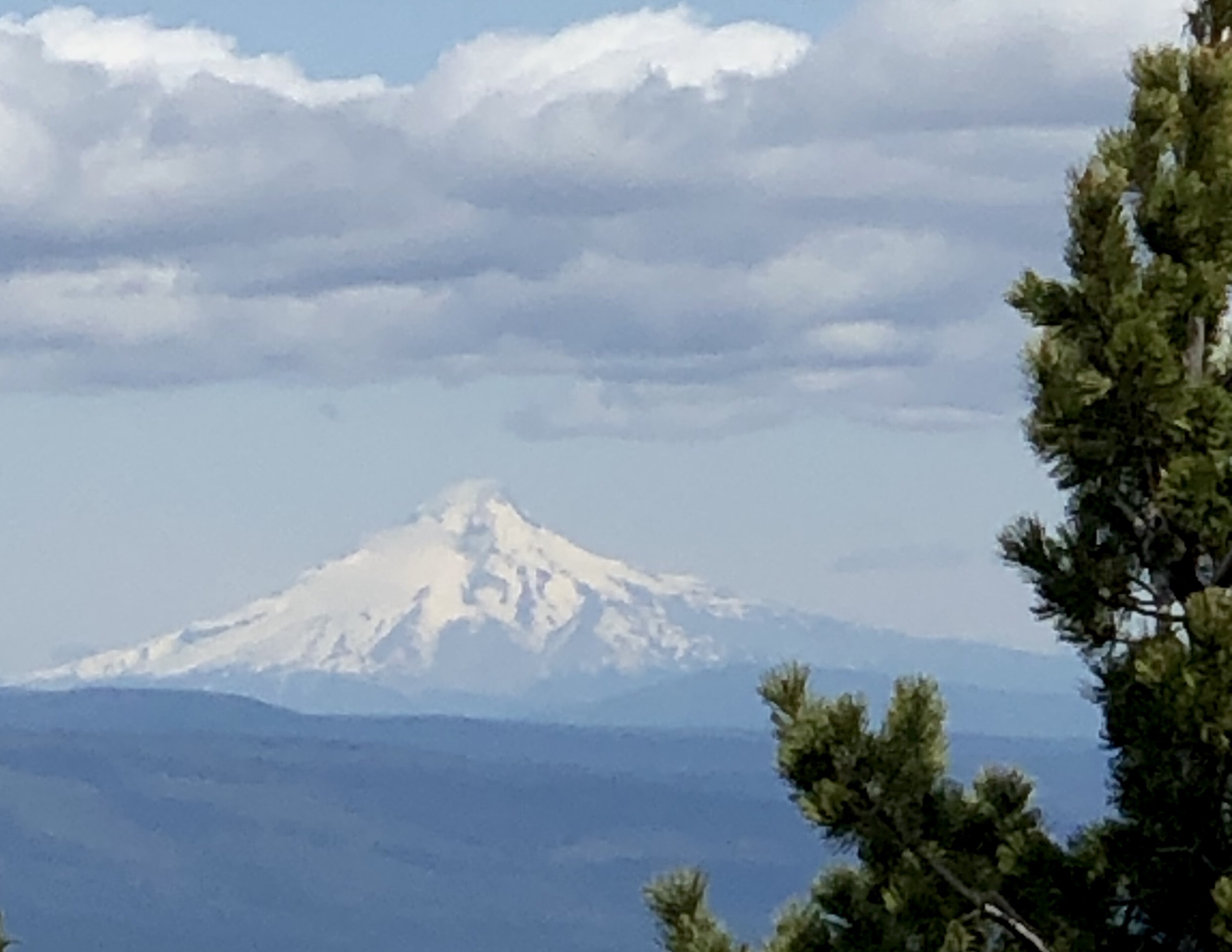
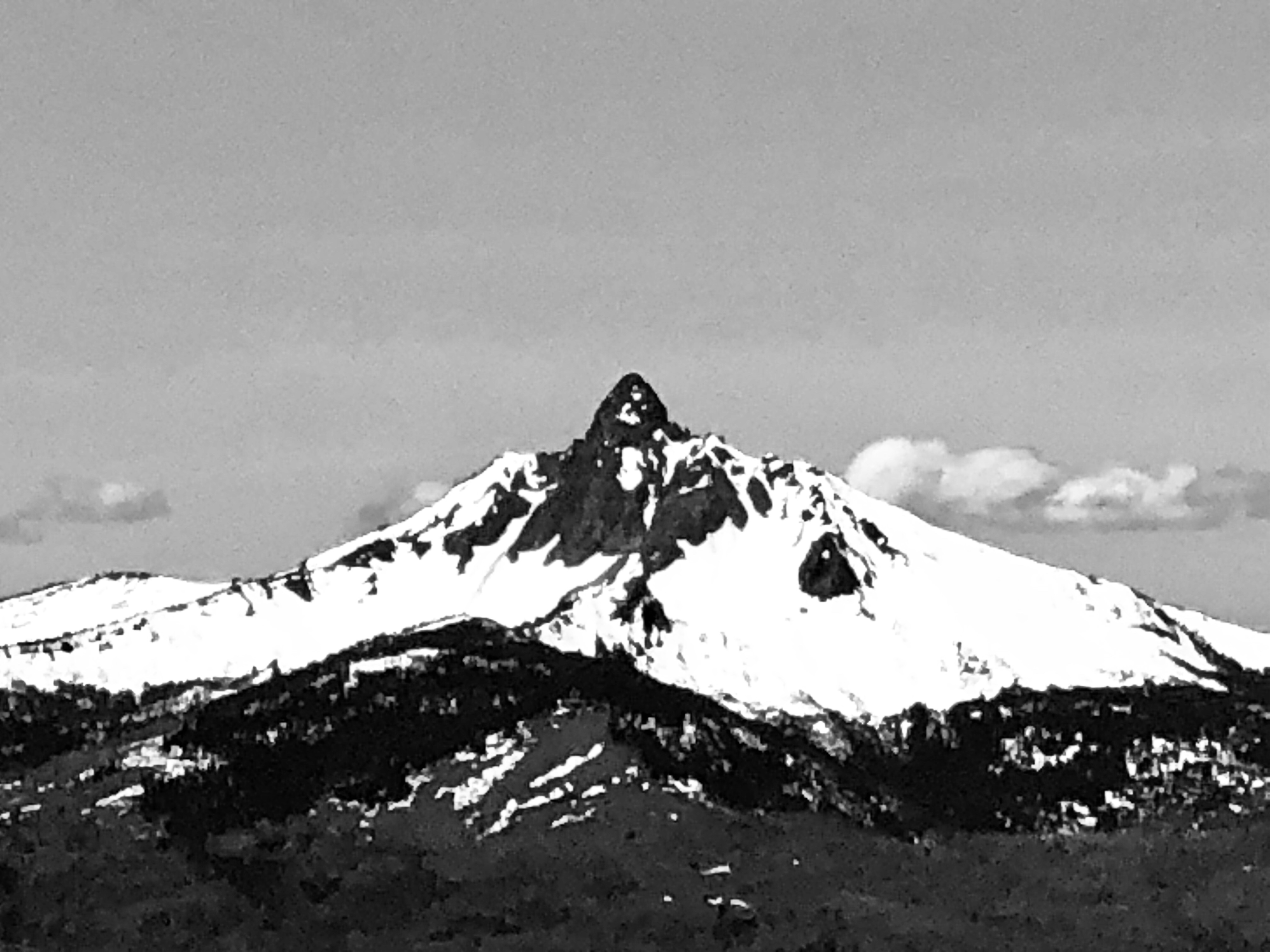
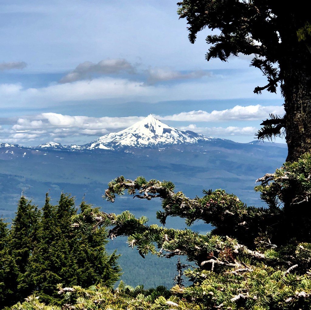
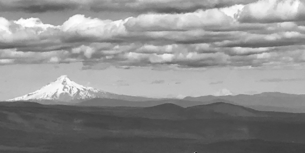
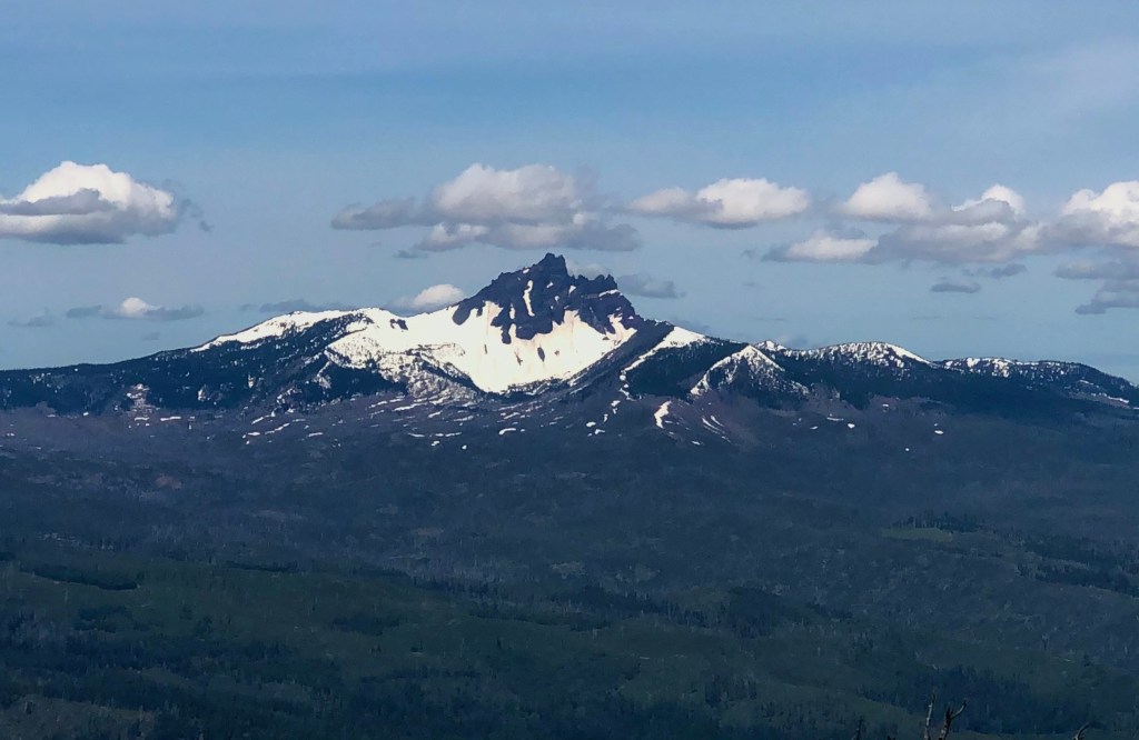
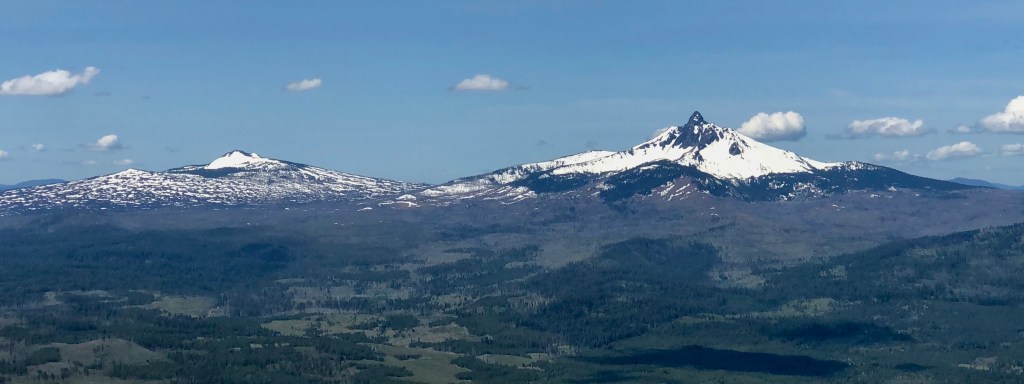
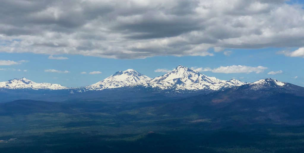
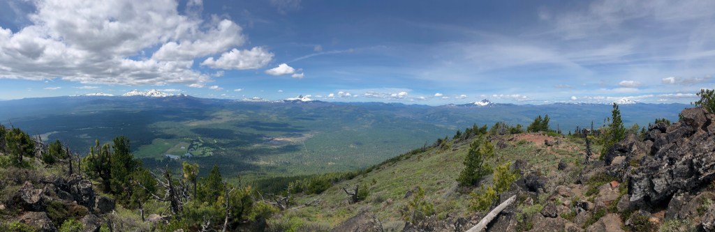
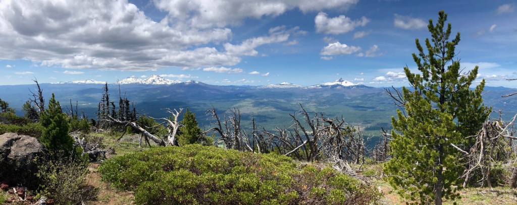
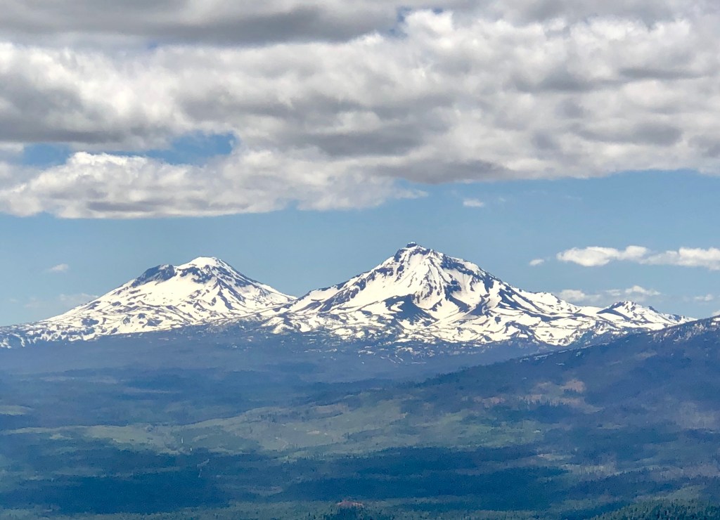
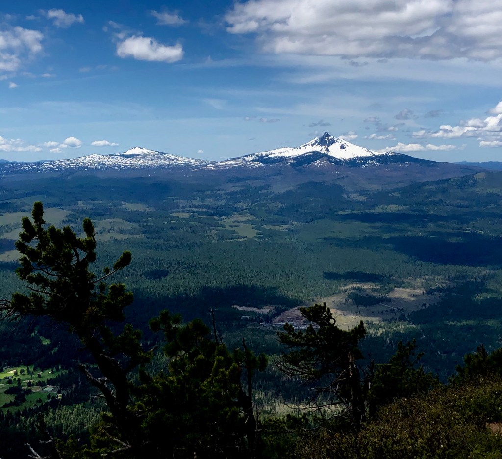
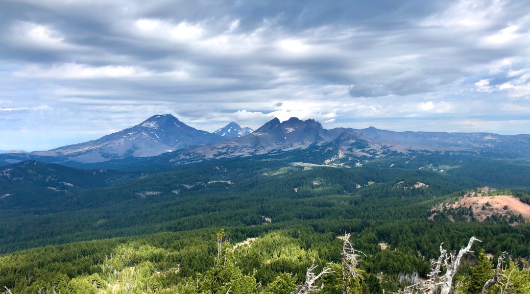
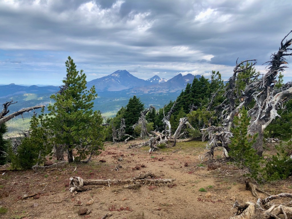
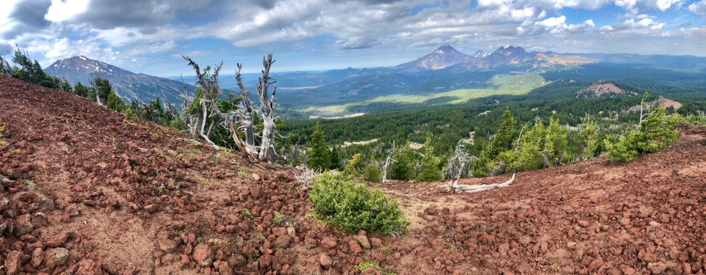
Your hike starts out in beautiful lush green forest. Enjoy the shade while you can as you will climb out of the forest and that will be the end of the shade. The views from Black Butte are utterly amazing along much of the hike. Even the forest provides peak-a-boo glimpses to spur you on along the trail. On top the Cascades come into full view and they are outstanding. Tam McArther Rim, Broken Top, the Sisters, Mount Washington, Three Fingered Jack, Mount Jefferson, Mount Hood, and Mount Adams all laid out before you like the most lavish banquet for the soul.

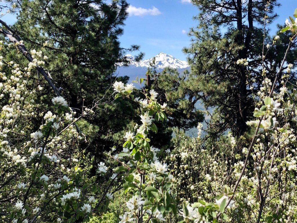
Tam McArthur Rim, South and North Sister is blocking Middle Sister, and Belknap Crater
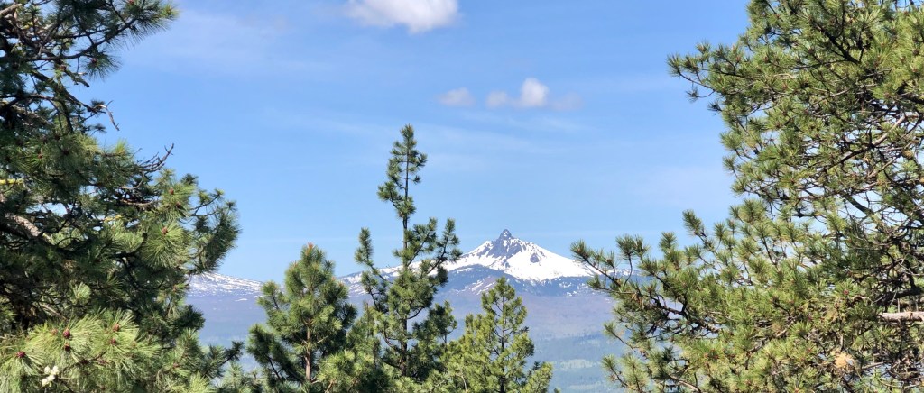
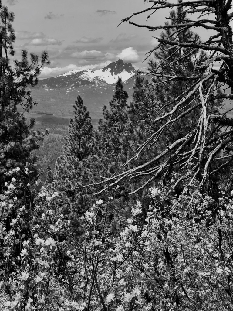
Three Fingered Jack through the firs.
“There are moments when all anxiety and stated toil are becalmed in the infinite leisure and repose of nature.”-Henry David Thoreau
Black Butte

I appreciate you joining my good friend Bruce and I as we found ourselves drinking from the cup of replenishment ‘Pursuing Balance Through Adventure’ with the Cascade Mountains on display in all their splendor. To take in so much beauty all at once is almost staggering. Nature has a way of bringing that needle back into balance offsetting our hectic lives and that is exactly what PBTA is all about. There is much more to come. Be sure to COMMENT, FOLLOW, SHARE, and LIKE. Stop by SHOP APPAREL and gear up and then get your boots dusty. Need a place to go? Checkout the menu above each location is a separate website and thus needs to be FOLLOWED independently.

Happy Trails-

Roger Jenkins

Pursuing Balance Through Adventure
Crater Lake

NATIONAL PARK

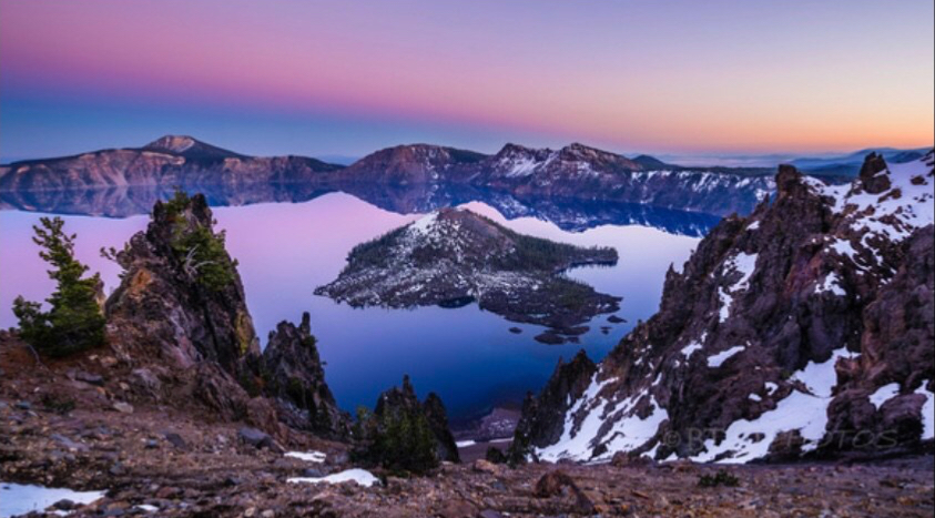
I spent 3 magnificent days hiking and backpacking at this national treasure, staring into a blue that can be found no where else, taking hundreds of pictures, basically because I had found myself bewitched by the unmatched beauty of the sight before mine eyes. Crater Lake is a magical place.

I invite you to join my soul-stirring journey ‘Pursuing Balance Through Adventure’ to arguably the most aesthetically pleasing lake in the world, Crater Lake. It’s luminous sky and mesmerizing ‘Crater Lake Blue’ will wash over you, kindling a feeling of peace and tranquility.

You can find my Crater Lake Adventures with these links to my sister site: National Parks Hiking ‘Pursuing Balance Through Adventure‘:

Scenic Rim Drive

Cleetwood Cove Trail

Back Country Camping

Mount Scott Trail

Crater Lake Lodge

Discovery Point Trail

Garfield Peak Trail

I hope you enjoyed the links to my exploration of Crater Lake. I have more than a dozen ‘Pursuing Balance Through Adventure’ websites and if you go to the above menu you can do some exploring of your own. These are all separate sites and thus need to be followed separately. If you would like to support both ‘Pursuing Balance Through Adventure as well as get some great top quality workout, adventure, casual wear then checkout Shop Apparel. Please COMMENT, LIKE. FOLLOW and SHARE.

Happy Trails,

Roger Jenkins, ’Pursuing Balance Through Adventure’

Special Thanks to Wick Smith of BTOPhotos.com for allowing me to use his professional photo of Crater Lake as the feature photo. He has many beautiful photos from all over the country that I implore you to enjoy on his site. Wick Smith is a Hobie Cat racing friend of mine, another adventurous hobbie of mine.

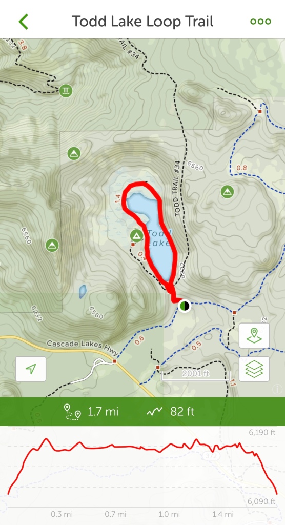
Todd Lake Loop Trail

DESCHUTES NATIONAL FOREST

NEAR BEND OREGON

Activity: Day Hike

Date: August 29, 2019

Distance > 2 miles, 82’ elevation change, 90 minutes duration, rated Easy

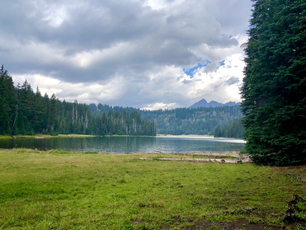
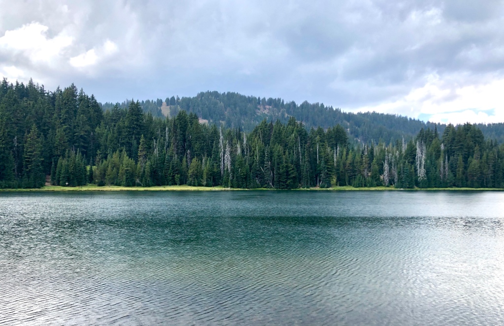
When I arrived at Todd Lake I knew there was a chance of afternoon thunderstorms. I thought that I could get in and out of this hike quickly before the storm. When I arrived there were nice views of the lake and the neighboring mountains Broken Top and Mount Bachelor. There was a little sun beaming through the clouds, but all of that was about to change. Quickly clouds rolled in masking the mountain views, a few claps of thunder, a flicker of lightening and then the heavens opened up and I got a pretty healthy down pour. I was prepared in my sailing foul weather gear jacket so there was nothing to do but enjoy Oregon’s “liquid sunshine” after all that is why everything is so plush and green.

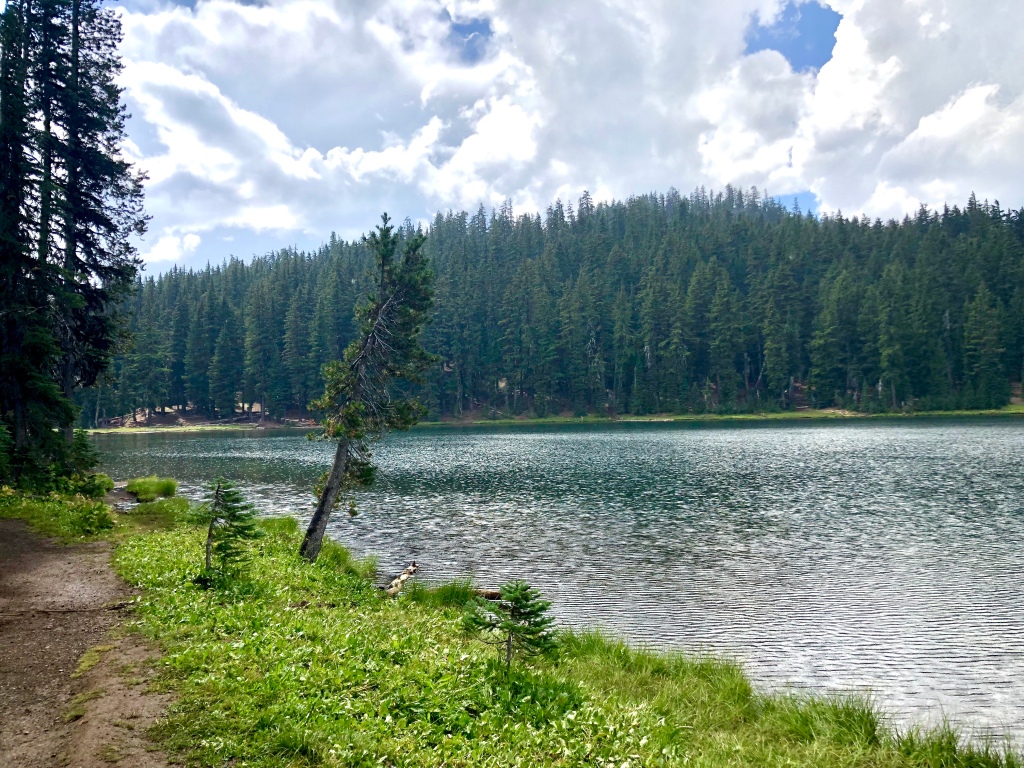
Hearing the rain on the lake, seeing the puddles collect on the trail, feeling the damp air, the breeze through the firs, the scent of freshness mixed with a dank whiff of wet decaying wood really lets you experience the Oregon Wilderness.

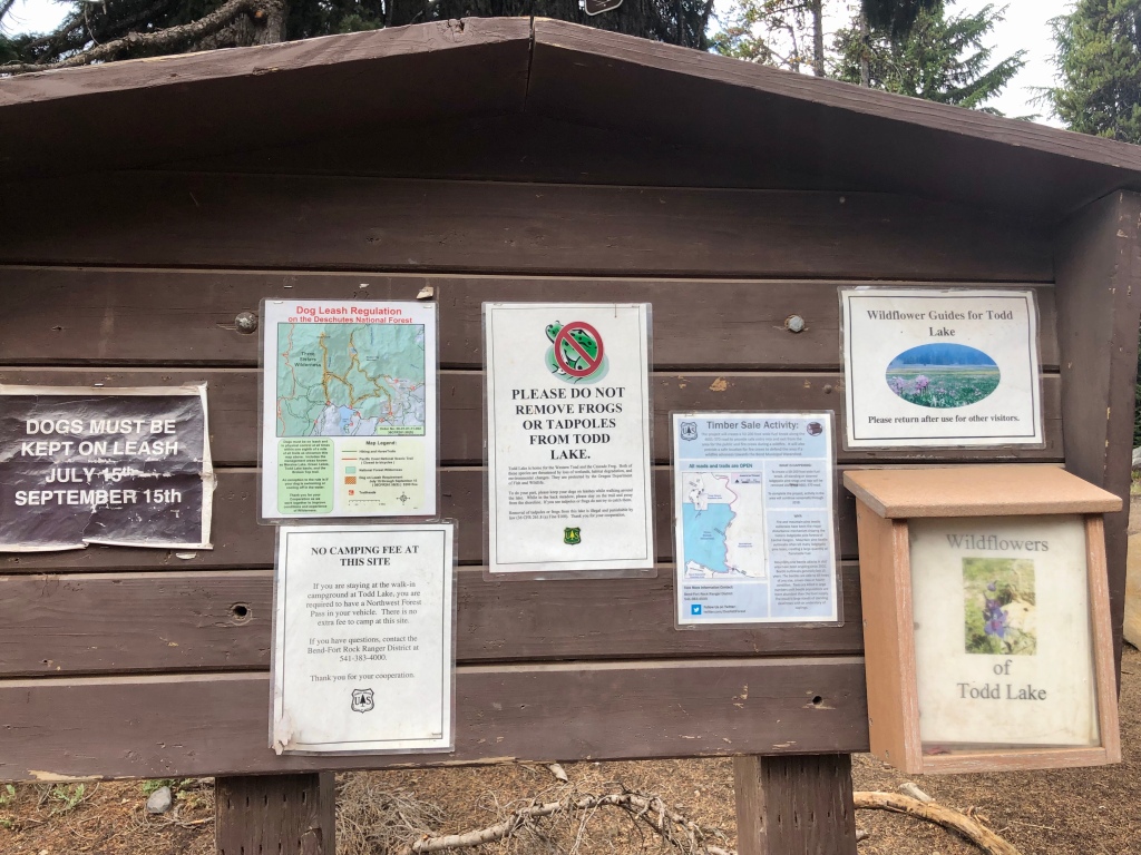
Trailhead parking is $5 unless you have a NW Forest Pass or other excepted annual passes. Todd Lake is a great little hike for the whole family. Very scenic even on a stormy day, so I can only imagine how beautiful it would be on one of the picture perfect Blue Bird Central Oregon days. The trail is delightfully forested, with views of the lake and mountains. On the far end is sort of a marsh meadow area. I found what I will call a little feeder stream filled with tadpoles. Fun little hike.

“Life is not about waiting for the storm to pass, but learning to dance in the rain.” -Vivian Greene    
Todd Lake with Mount Bachelor in the background

Todd Lake, in the Deschutes National Forest, is a great place to be ‘Pursuing Balance Through Adventure’, won’t you join me next time for another journey? You can do so by FOLLOWING, SHARING, LIKING, and COMMENTING.

Happy Trails, Roger Jenkins, Pursuing Balance Through Adventure
Additional Video Clips from Todd Lake

Tumalo Mountain Trail

DESCHUTES NATIONAL FOREST

NEAR BEND OREGON

Activity: Day Hike

Date: August 29, 2019

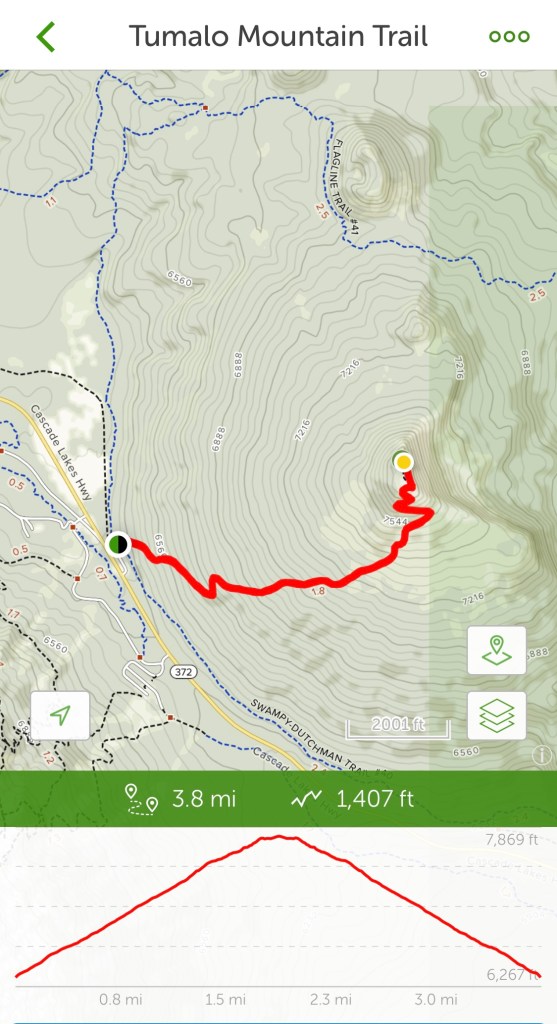
Distance 4 miles, 1,440’ elevation change, 3 hour duration, rated Moderate

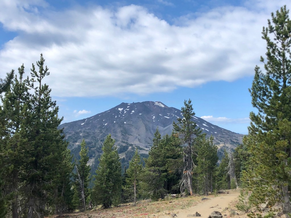
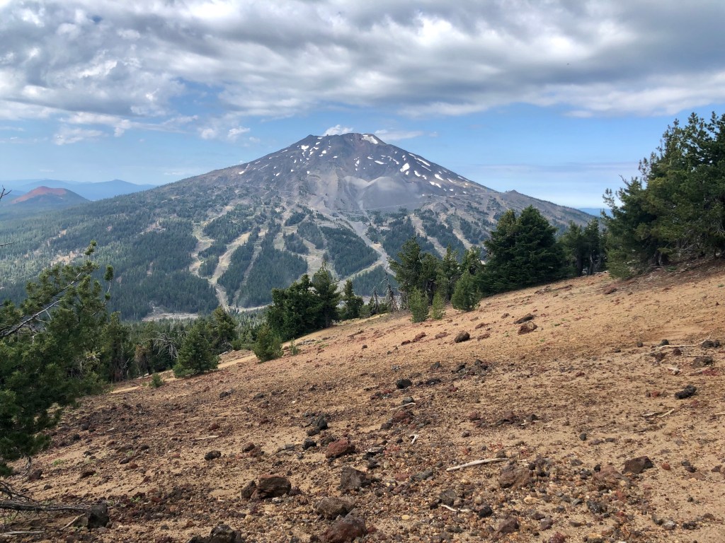
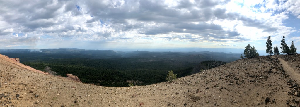
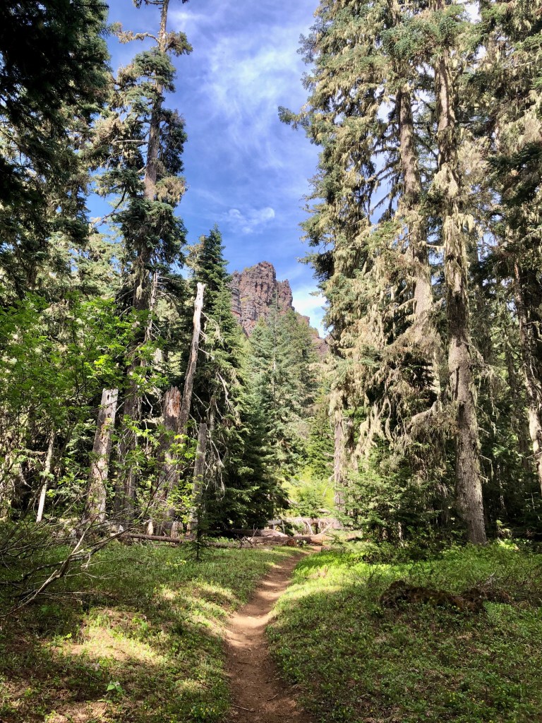
Tumalo Mountain, a shield volcano, sits adjacent to majestic Mountain Bachelor near Bend Oregon in the Deschutes National Forest. At over 7700’ it affords wonderful views of Mt Bachelor at 9000’. From the top Tumalo Mountain is optimally located for spanning views of the northwest. Splendidly on display are the Sister’s Mountains, Broken Top and in the other direction Tam McArthur Rim.

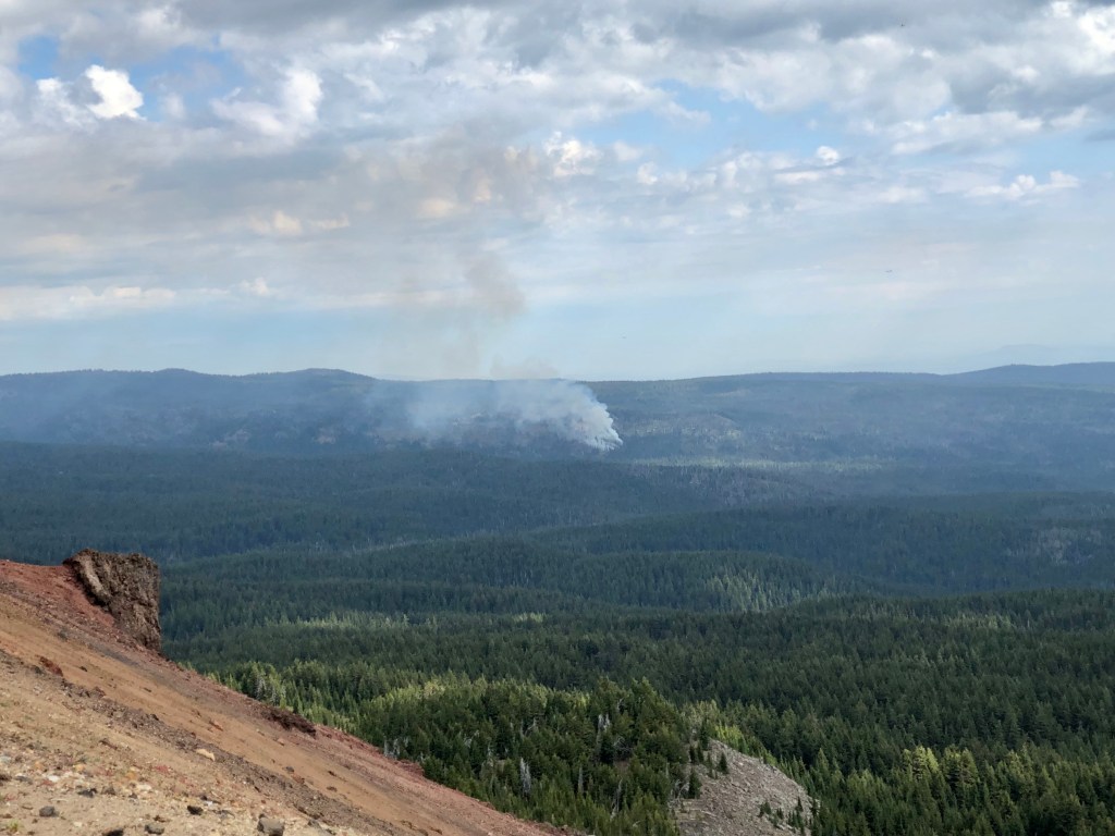
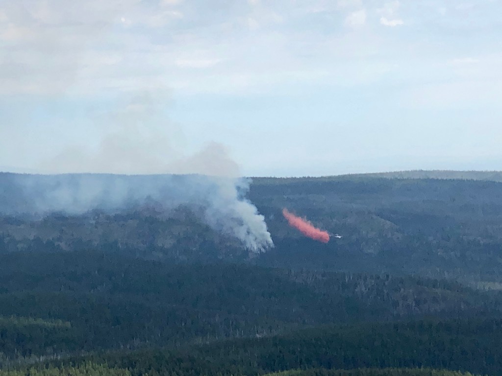
Something very special for me to observe was occurring while I was on top of Tumalo Mountain. Yesterday in the late afternoon I was hiking Tumalo Falls. During the hike there was a light rain and distant lightening and thunder. That lightening touched off small forest fires in the area and fire fighters were working hard to make sure they stayed small. From my vantage point atop Tumalo Mountain I could see the aerial attack on that fire and found it fascinating. Crews made drops over and over with orange fire retardant to halt the advancing fire. Thank you fire-fighters for your valiant efforts.

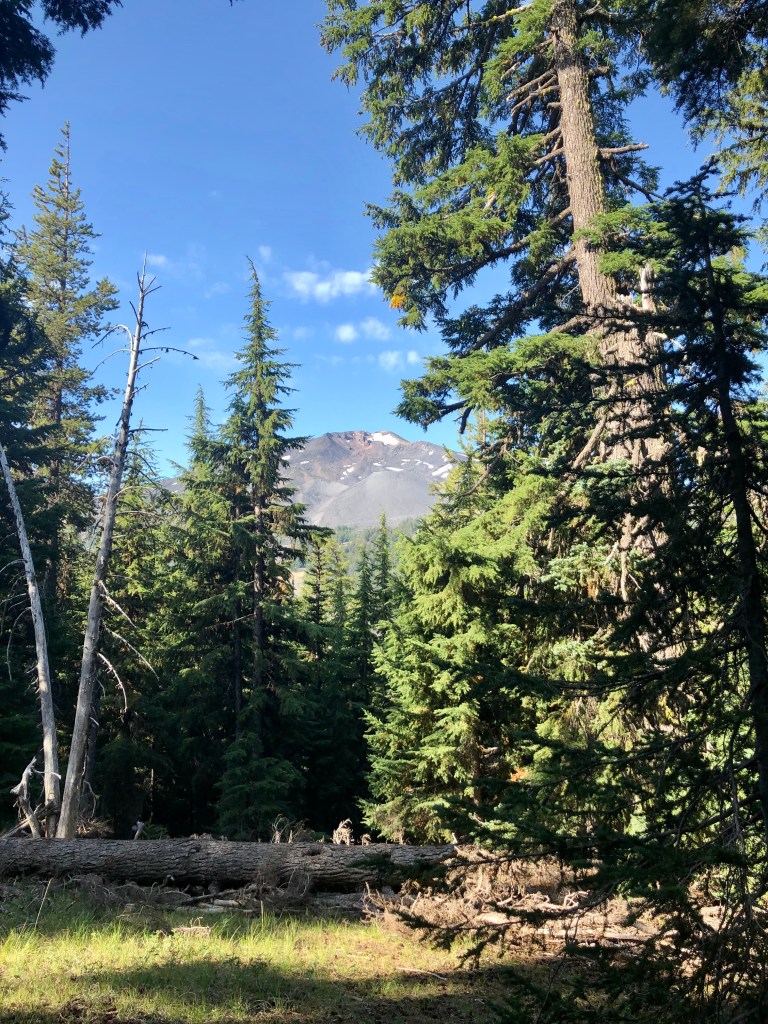
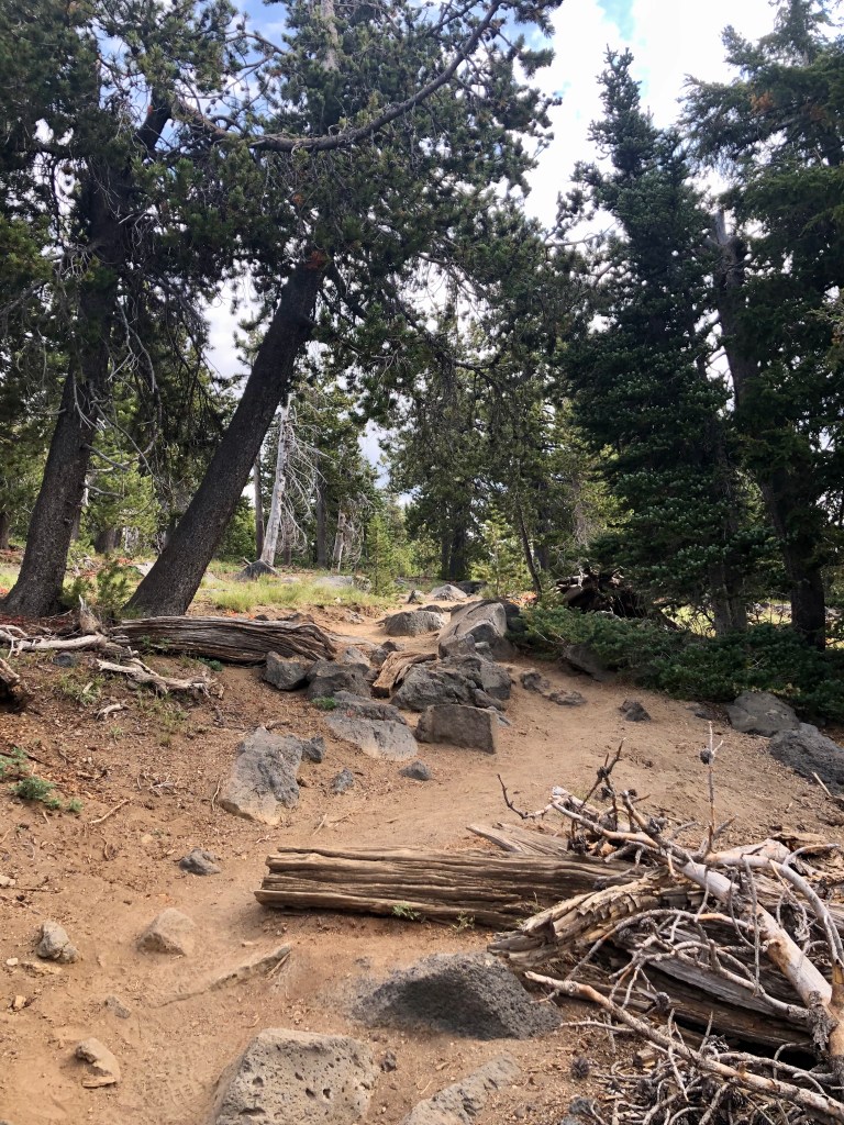
A Northwest Forest Pass is required, and during the winter, if you are snow shoeing, a Snow Pass is required for parking. The trail gains altitude from the get-go as you weave through a sparse evergreen forest, an alpine meadow, until you reach an open portion at the top adorned with twisted white bark pines, and craggy trees. The backside of Tumalo Mountain confirms it’s volcanic origins with a steep hillside of volcanic pumice scree.

I highly recommend this hike. I hike mostly during the week, so the fact that this is a popular hike, simply because it is a great hike with superb views, is close to Bend, and is easy to get to, doesn’t affect me as much, but be aware that if you are hiking prime time – prime season that you won’t be alone. You know that you must be spoiled, in this manner, when you are hiking on a Thursday, and you discover a very chatty group is coming up behind you. I pulled over and let them go by. I believe that they figured out the reason that I stopped, mentioning something along the lines and apologizing. I replied. “Good morning, there is plenty of mountain for everyone.”

Fire Fighters drop fire repellent just in front of the fire to keep it from spreading.

Thanks for coming along on this journey of mine ‘Pursuing Balance Through Adventure’. It is my hope that my accounts will inspire you to seek your own counter balance to our busy work a day world through profound encounters with nature. Besides the stretching of the legs, and the breathing of mountain air, it is about setting the soul soaring to the mountain tops, the deserts, the oceans, rivers, lakes or canyons. If you are unable to take an adventure of this nature, for whatever reason, then do so vicariously through me and together we will experience freeing our souls through this medium. So please COMMENT, FOLLOW, LIKE, and SHARE.

Pursuing Balance Through Adventure Videos regarding the hike
Tumalo Mt in the Shadow of Mt Bachelor
Views of Sisters, Broken Top, and Mt Bachelor from Tumalo Mt.
Firefighters make aerial assault on Wildfire as seen from Tumalo Mt.

Tumalo Falls & Double Falls

DESCHUTES NATIONAL FOREST

NEAR BEND OREGON

Activity: Day Hike

Date: August 28, 2019

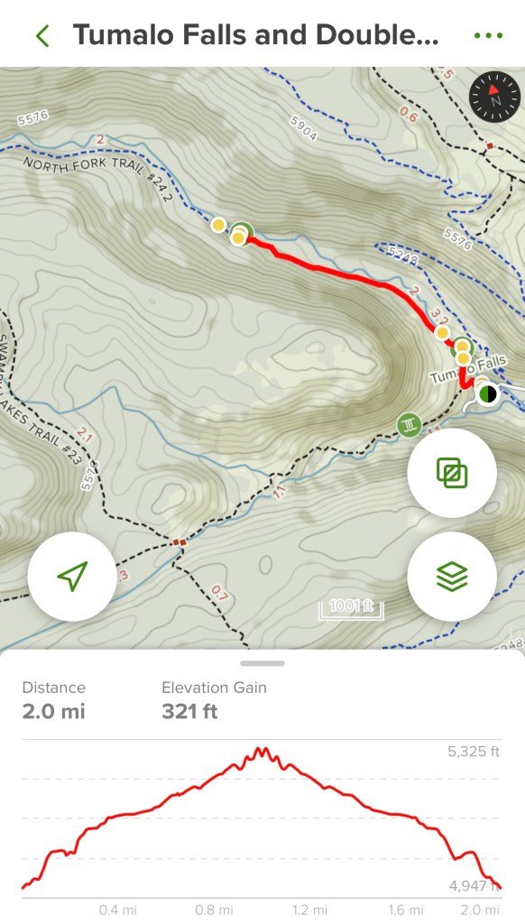
Distance 2+ miles, 320’ elevation change, 90 minute duration, rated Easy

If you like waterfalls then the Pacific North West is definitely the place to be, boasting more waterfalls then anywhere in North America. Oregon has some splendid falls and Tumalo Falls, a short drive from Bend, is a good one. Be advised that the last couple of miles or so are unpaved gravel, washboard National Forest roads. It can be done in everyday vehicles, but it can be a rough ride. Also this is a popular spot so plan accordingly as parking can be tough in the small lot at the trailhead. If you don’t have a Northwest Forest Pass then it will be $5 cash.

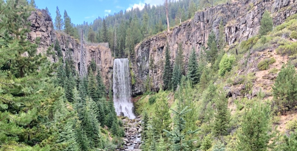
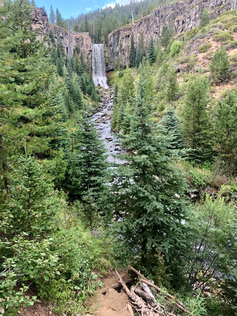
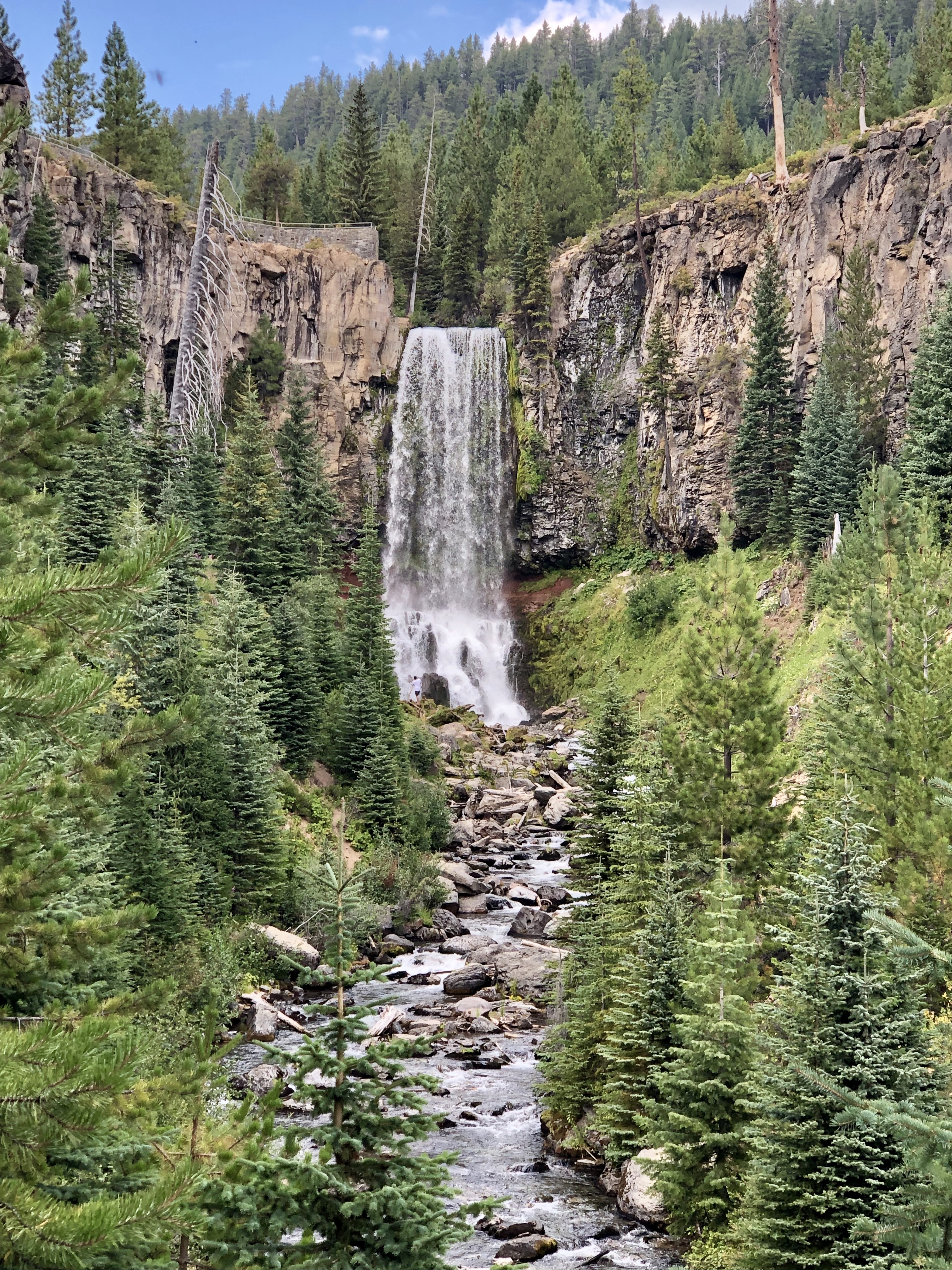
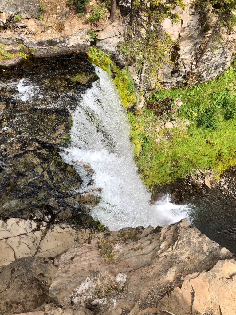
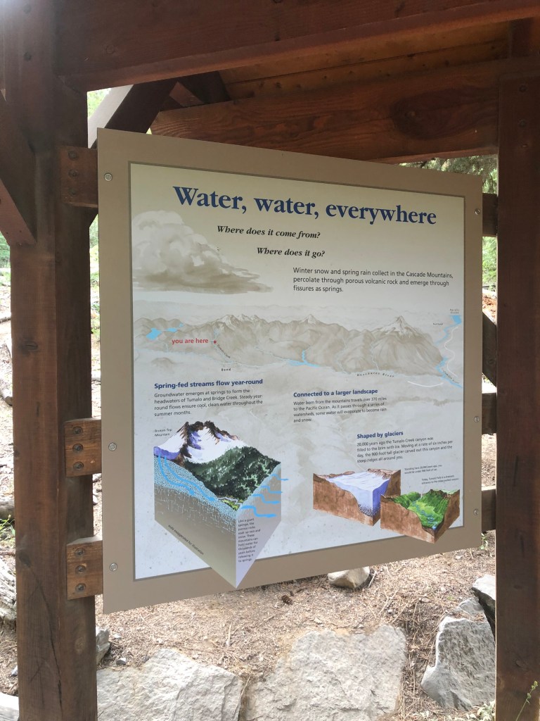
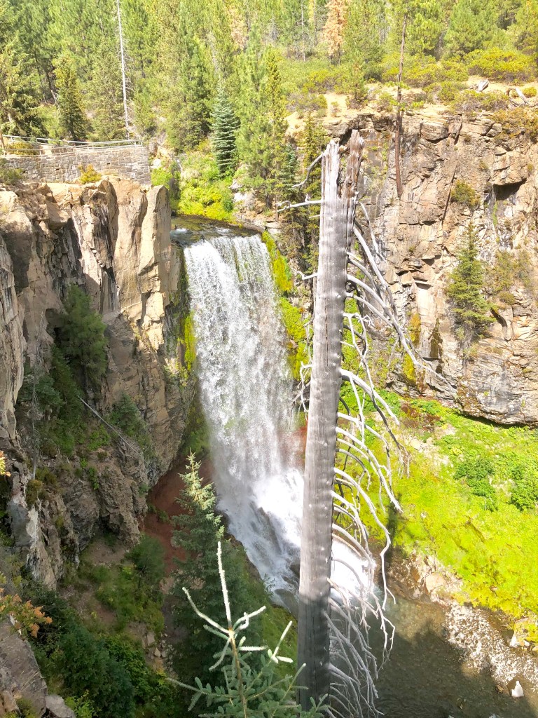
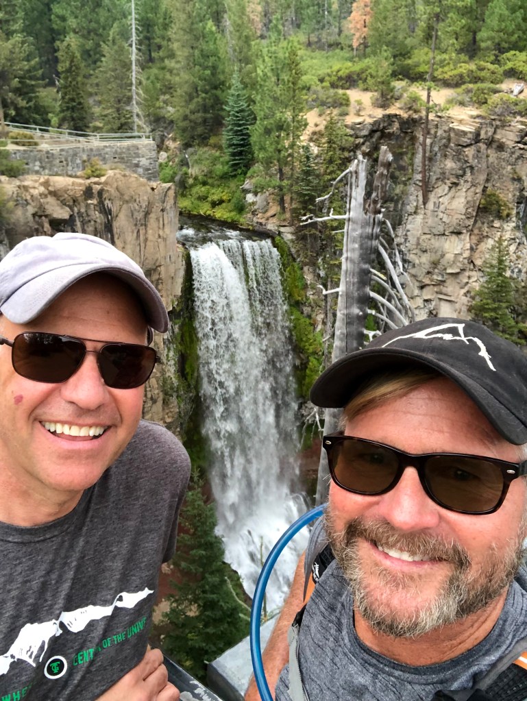
Tumalo Falls in Tumalo State Park is 89’ tall and is on Tumalo Creek, part of the Deschutes River watershed area which is glacier fed. Tumalo, it is believed, is an Native American word for icy water. That would make sense if it is glacier fed. But one thing is for sure it is a grand falls and the whole area is magnificent. There are two viewpoints a short distance from the parking area. After taking in the beauty of the falls I headed out with Bruce Petersen, my good friend and fraternity brother, whom I had not seen in decades. Bruce is from Bend and he guided me along the North Fork Trail, which was easy to follow, along Tumalo Creek. We took in multiple wonderful smaller waterfalls along the route including Double Falls. Double Falls has a similar drop to Tumalo Falls but broken up into several drops.

It was late in the day, and although Central Oregon brags about 300 days of perfectly blue skies, on this day a light rain began to fall, (lovingly referred to as “liquid sunshine” which of course keeps Oregon green and beautiful), and a few lightening flashes accompanied by the rumble of thunder aided in our decision it was time for us to head back. Also Bruce was a trooper as he was rehabbing from knee surgery, but was quickly on the mend and his doctor okayed our couple miles or so hike, but if you have more time there is more trail and more waterfalls to be enjoyed.

About Nature – A Waterfall
Never before had I seen such a splendid sight of grace and beauty as a waterfall. Life was being given to the green flowing lush vegetation on either side of a glittering strip of fluid motion moving down the land like a snake through grass. How enchanting the sight was and oh how comforting. -By George Krokos

Waterfalls are enchanting, magical, places of awe… let’s find some more because who doesn’t love waterfalls? If you love waterfalls like I love waterfalls then please LIKE, FOLLOW, COMMENT, and SHARE. Thanks for joining Bruce Petersen and I while ‘Pursuing Balance Through Adventure’.

Roger Jenkins, Pursuing Balance Through Adventure
Burma Road Loop

SMITH ROCK STATE PARK

NEAR TERREBONNE, OREGON

Activity: Day Hike

Date: August 28, 2019

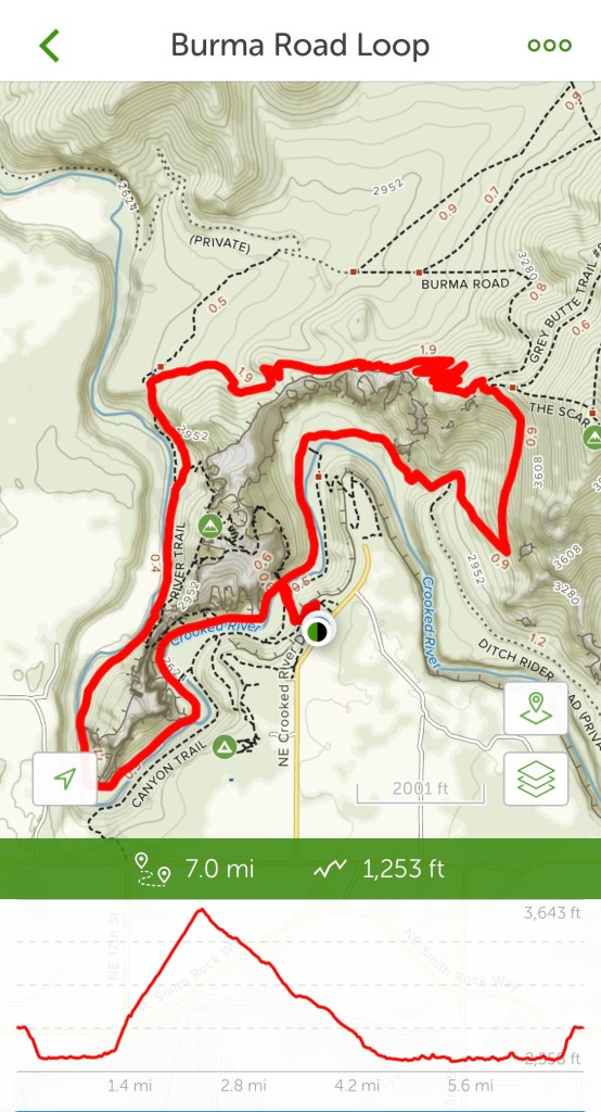
Distance: 7 miles, 1,253’ elevation change, 4.5 hours duration rated Moderate.

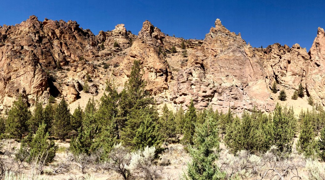
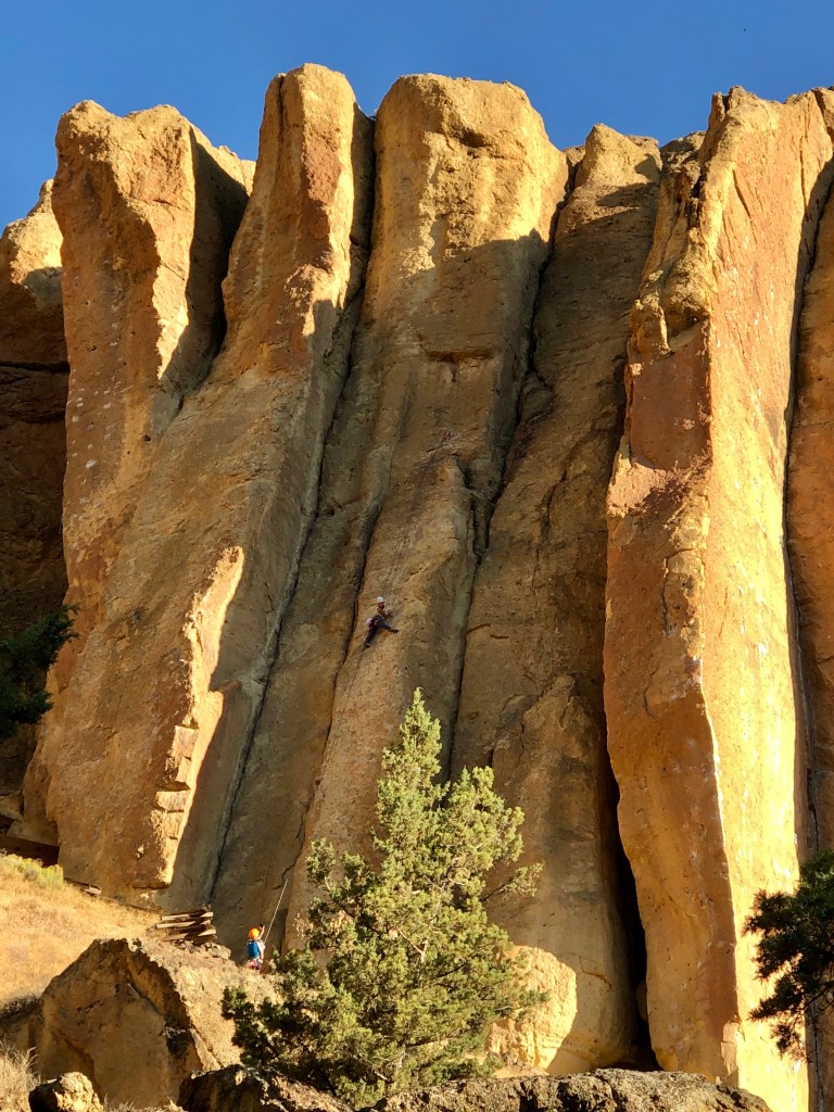
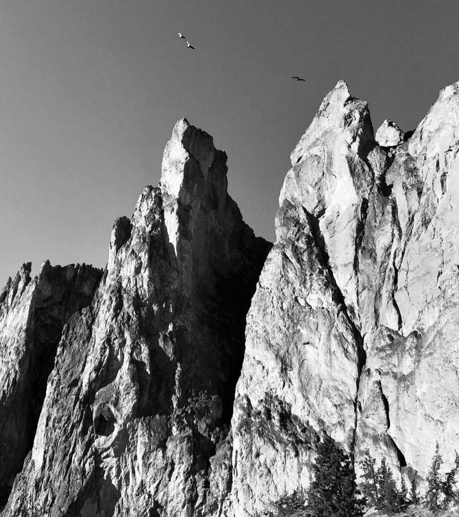
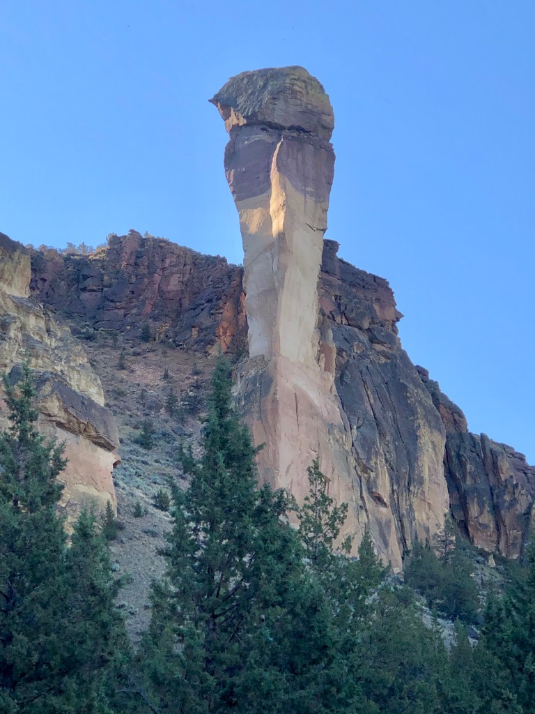
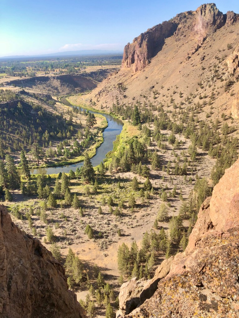
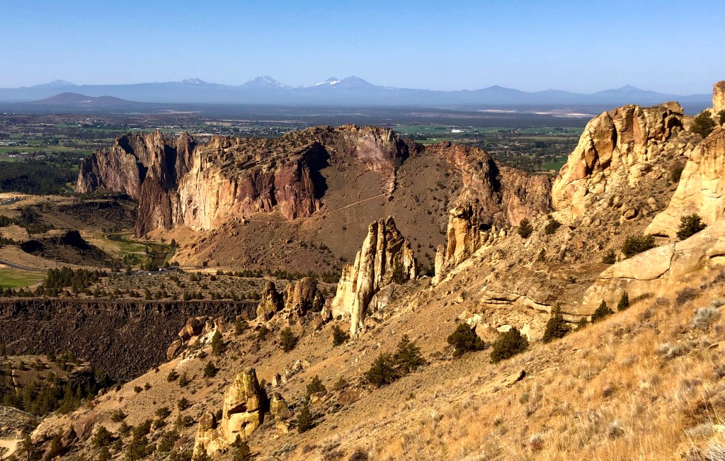
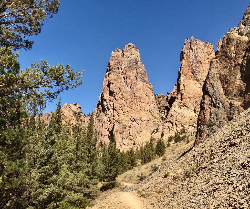
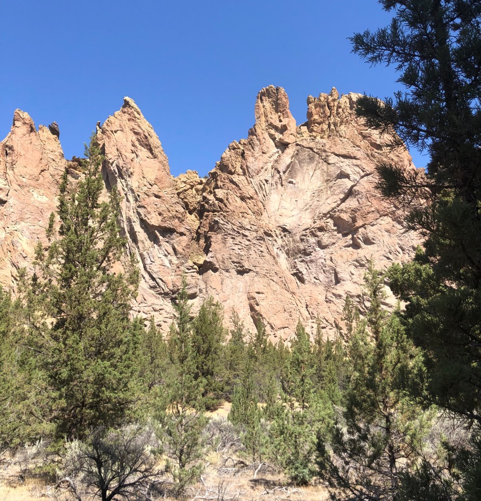
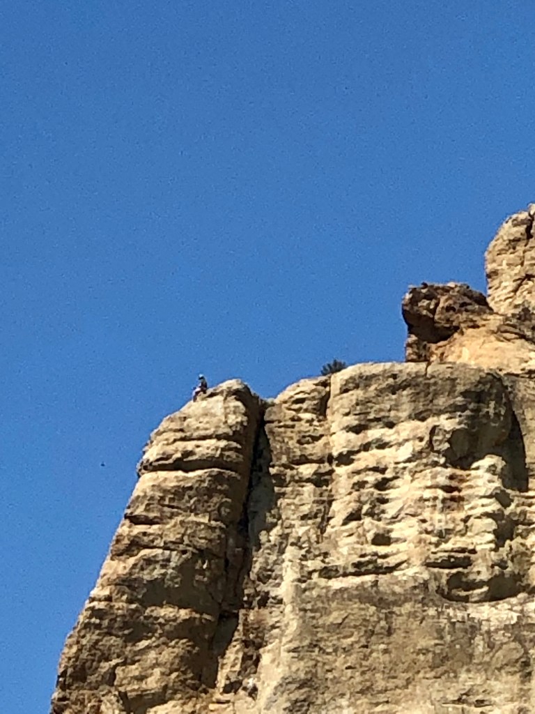
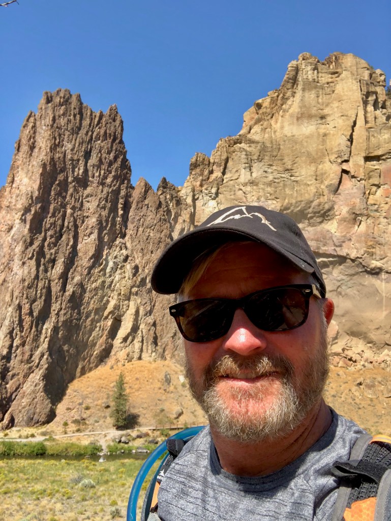
Smith Rock is one of those special places that is almost spiritual it is so beautiful. This was my second time to hike at Smith Rock, the last was hiking up Misery Ridge a few years ago with my fraternity brother Marcus, my son Alec, (then about 12), and a bunch of college guys, friends of Macus’s son. I found Misery Ridge to be aptly named for the crazy switch backs and quick elevation change, not only a challenge, but a stunningly beautiful hike and a fantastic climb.

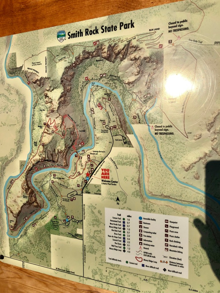
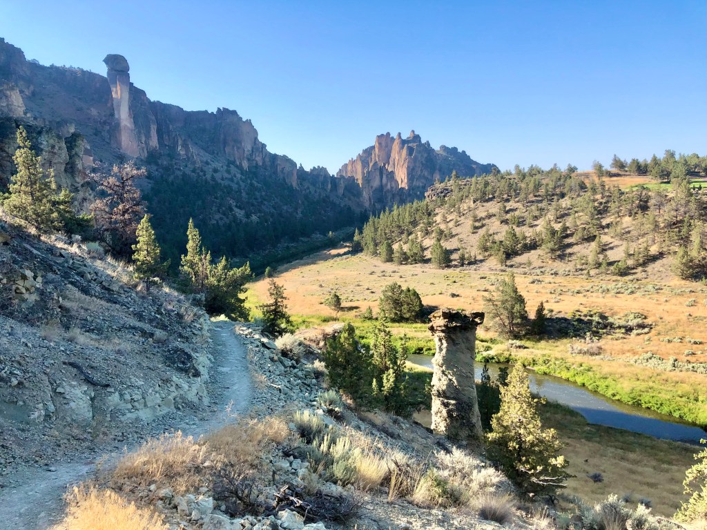
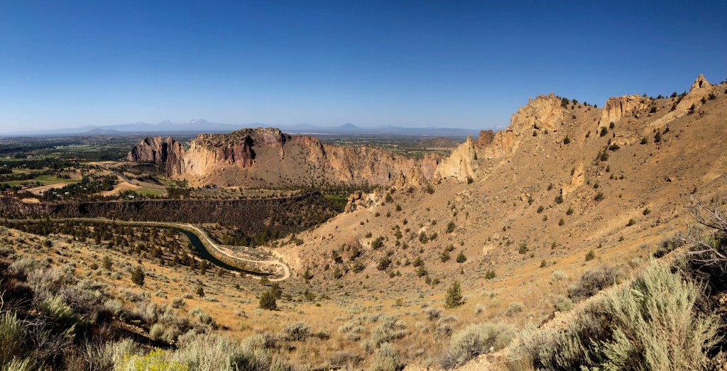
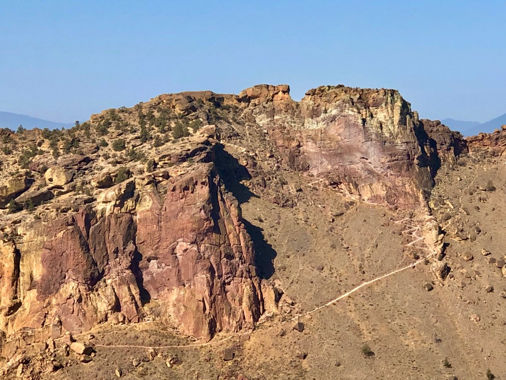
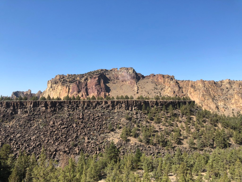
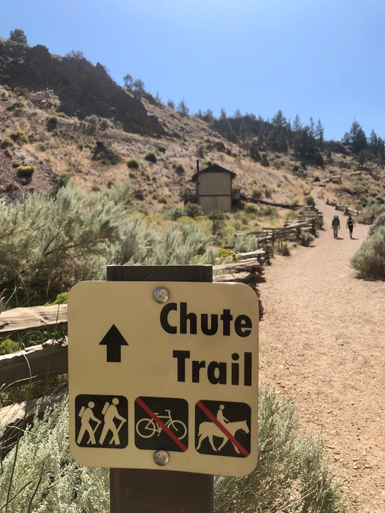
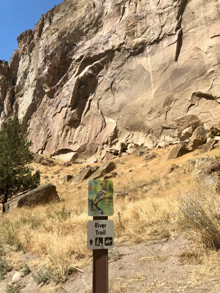
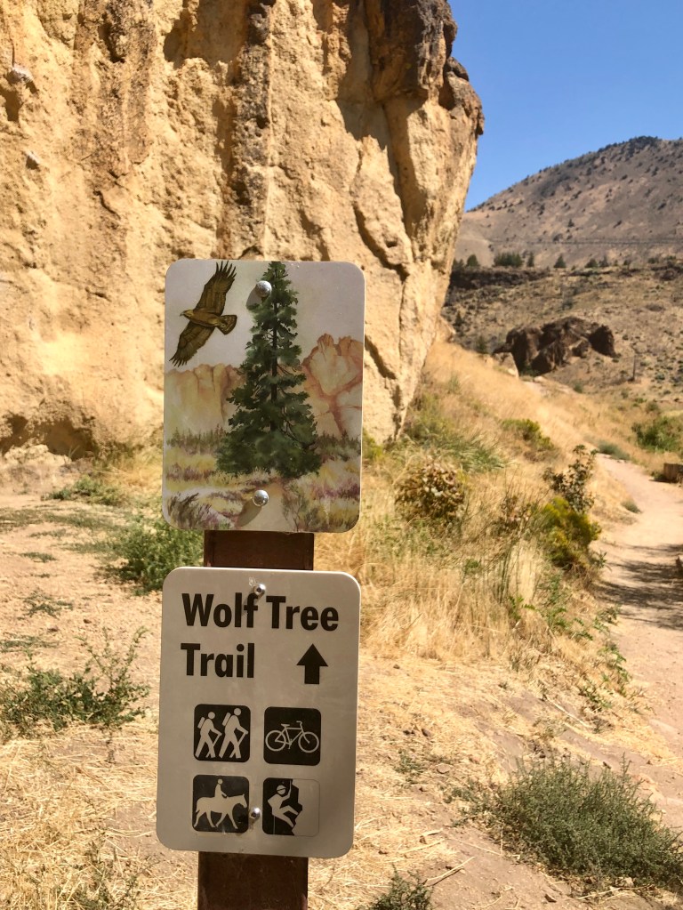
Wanting a different hike and experience I chose the Burma Road Loop. The loop is made up of multiple trails: The Chute, River, Summit, Burma Road and Wolf Tree Trails. It completely circumnavigates Smith Rock so you view it from every angle including looking down at it from the neighboring ridge. So any thoughts that this would be easier than Misery Ridge would be mistaken. Actually it is less aggressive in my opinion as the elevation is more spread out and over a longer distance. That being said however, there is a section with some fairly challenging switch backs as well.

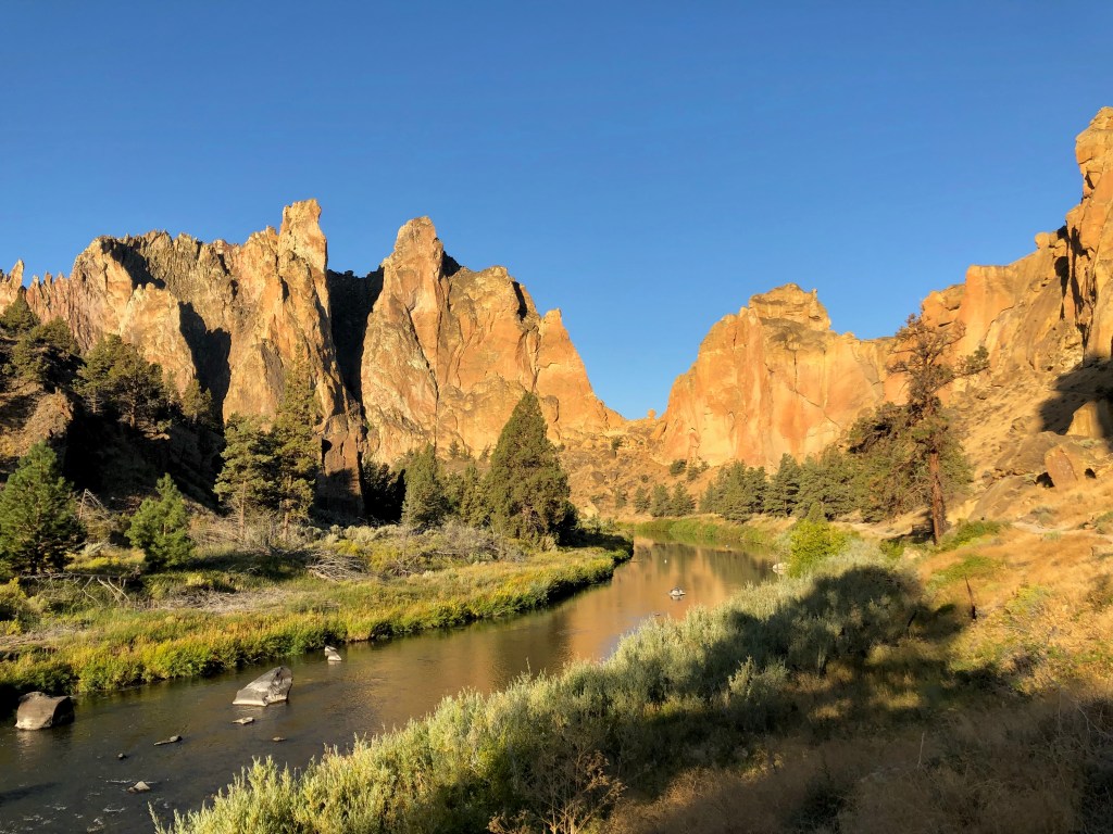
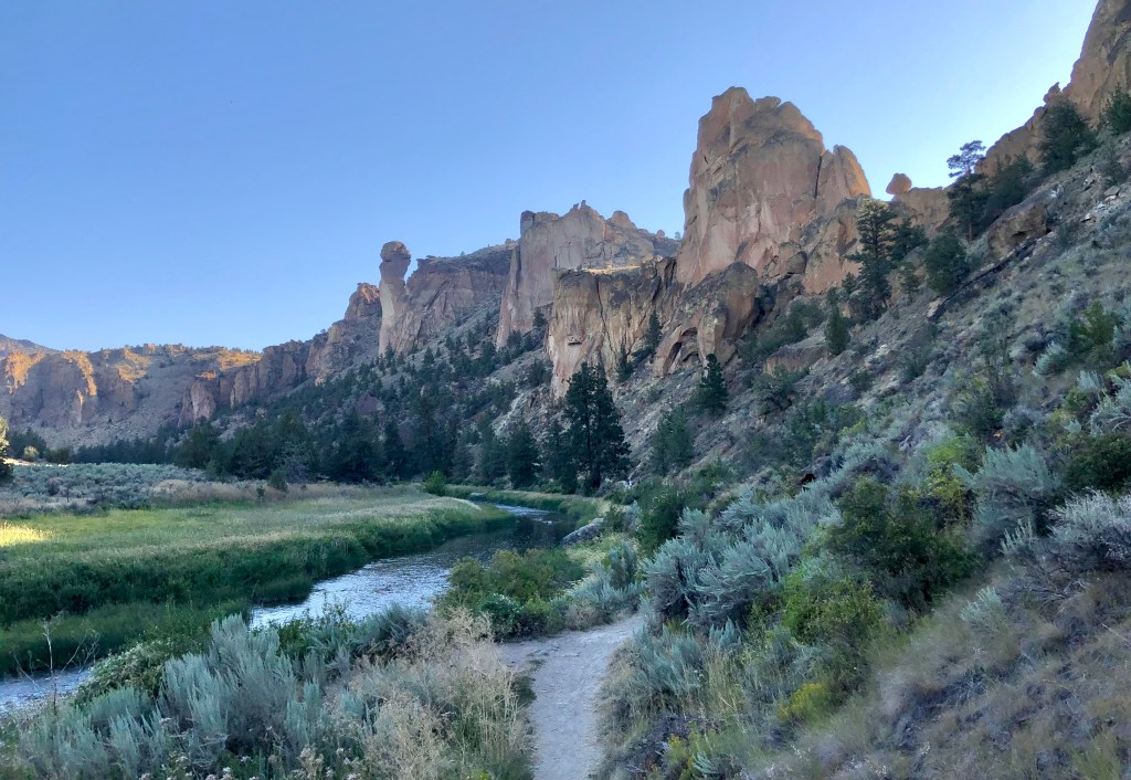
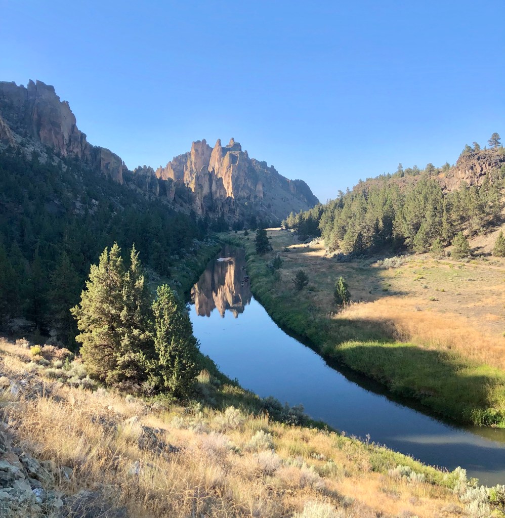
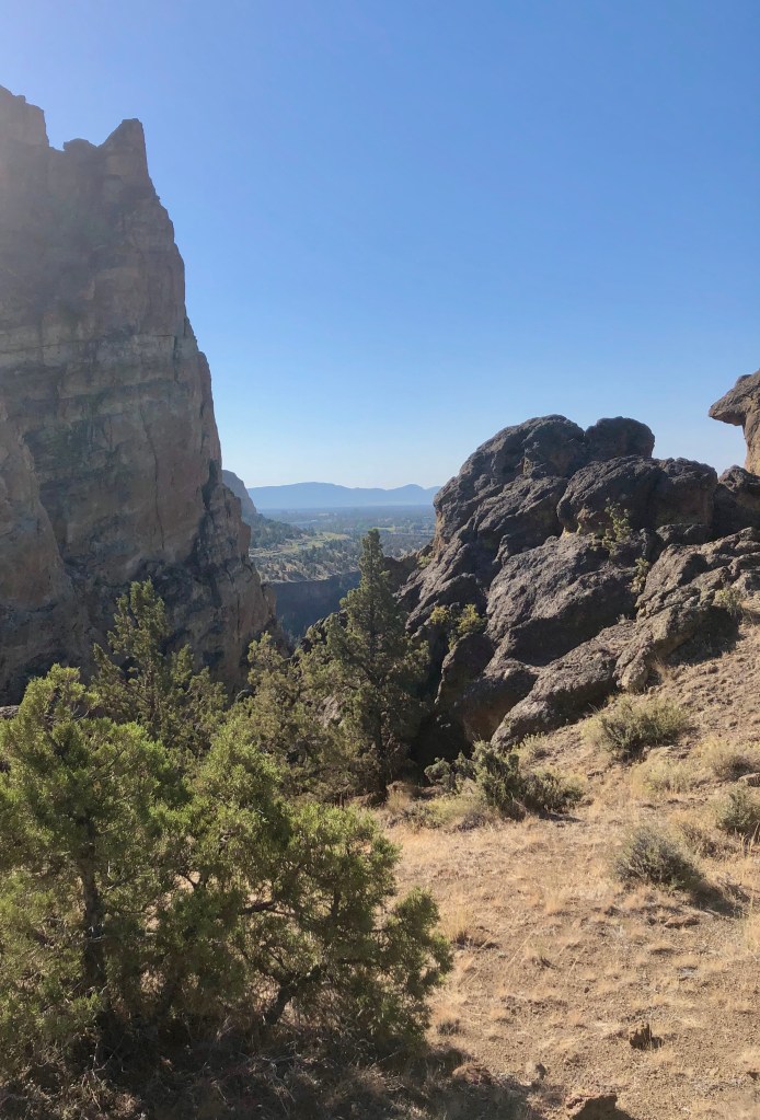
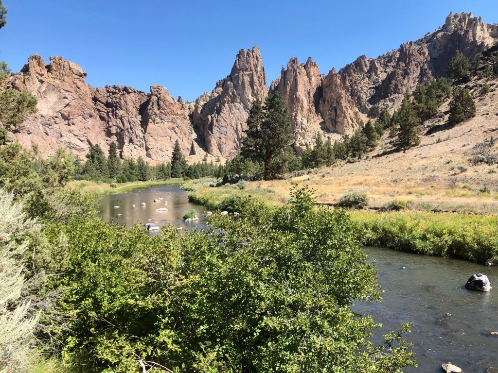
The trail drops down to the Crooked River which surrounds Smith Rock on three sides almost like a moat adorning an majestic castle. At this point the trail is easy following the awe inspiring walls of Smith Rock and along the River Trail, which is fabulous.

This was one of the hottest days of the year expecting to top out at 96 degrees. I was glad that I was getting an early start at 7:30 AM, which was most pleasant in the mid seventies, but by the time I completed my journey it was about 90.

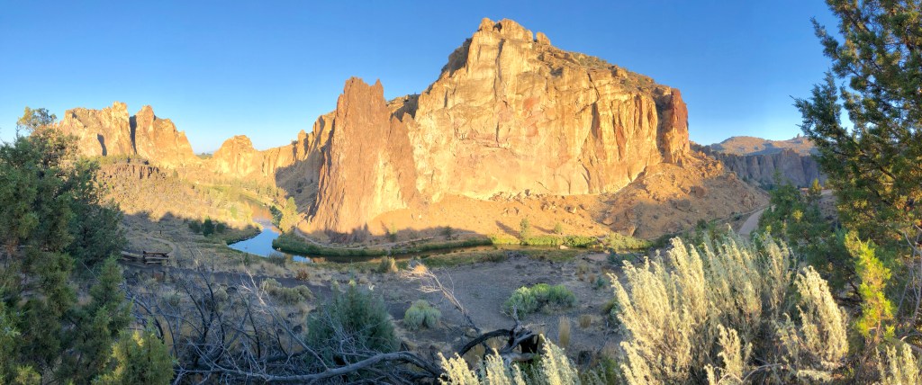
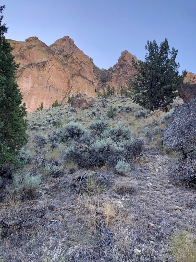
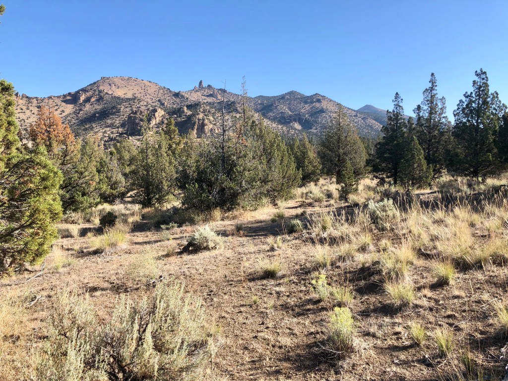
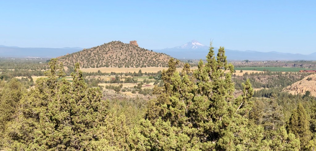
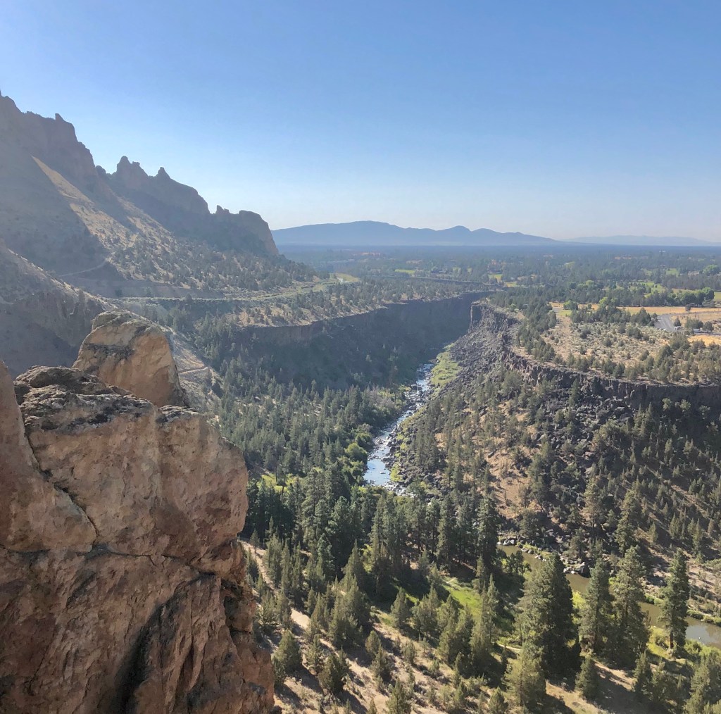
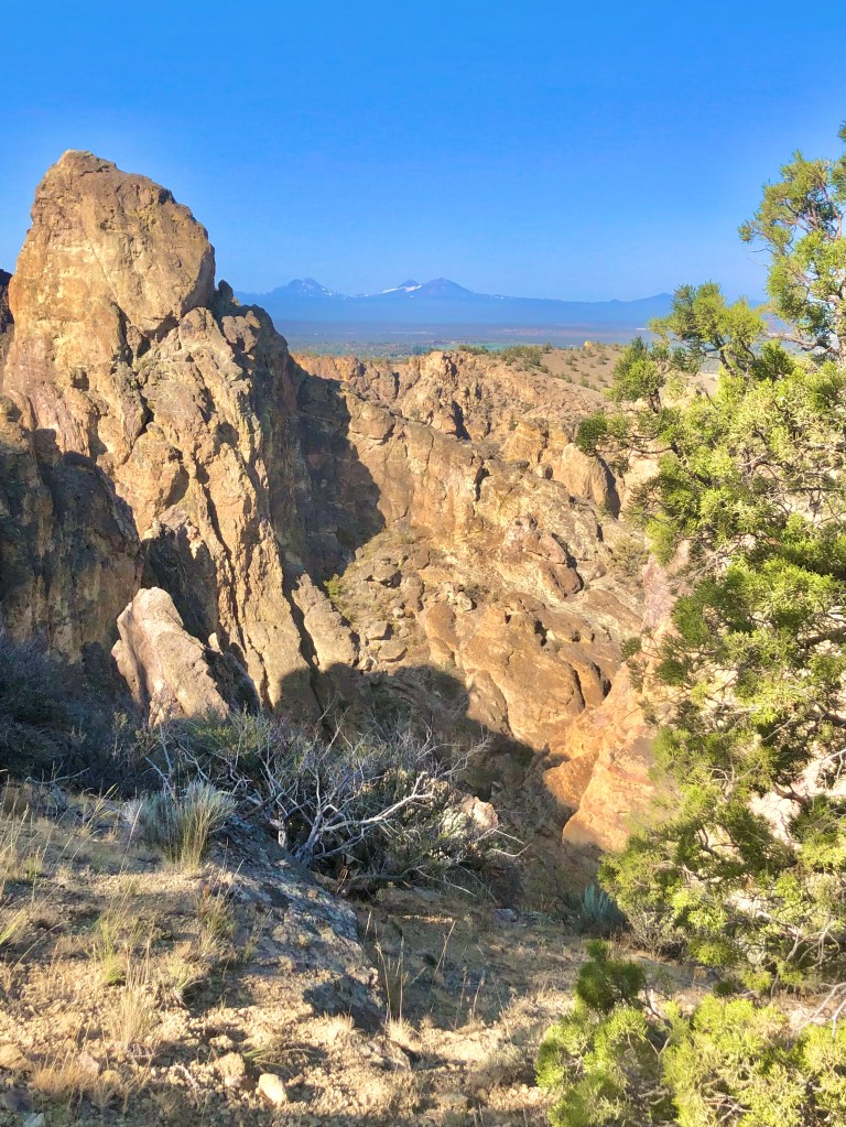
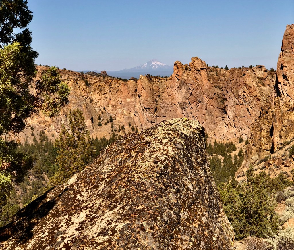
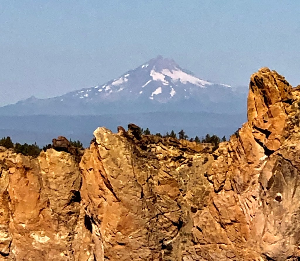
As I mentioned, the Crooked River wraps around Smith Rock. On the backside I headed up into a high desert scene. This is where the elevation starts going up and at a pretty quick rate with a number of switchbacks until you have a wonderful view of the river, the valley, Smith Rock, and the Cascade Mountains off in the distance. Just an spectacular view and with the wonderful rock faces and formations of Smith Rock it is simply a must do.

As I dropped in elevation the single track trail joined a double track road that was steep and not interesting, well… aside from the adjacent view of Smith Rock. My point is taking the Burma Road Loop clockwise is the way to go because going up a steep boring road with no switch backs would not be as pleasant, but working my way down it quickly with views of the valley and Smith Rock was perfect.

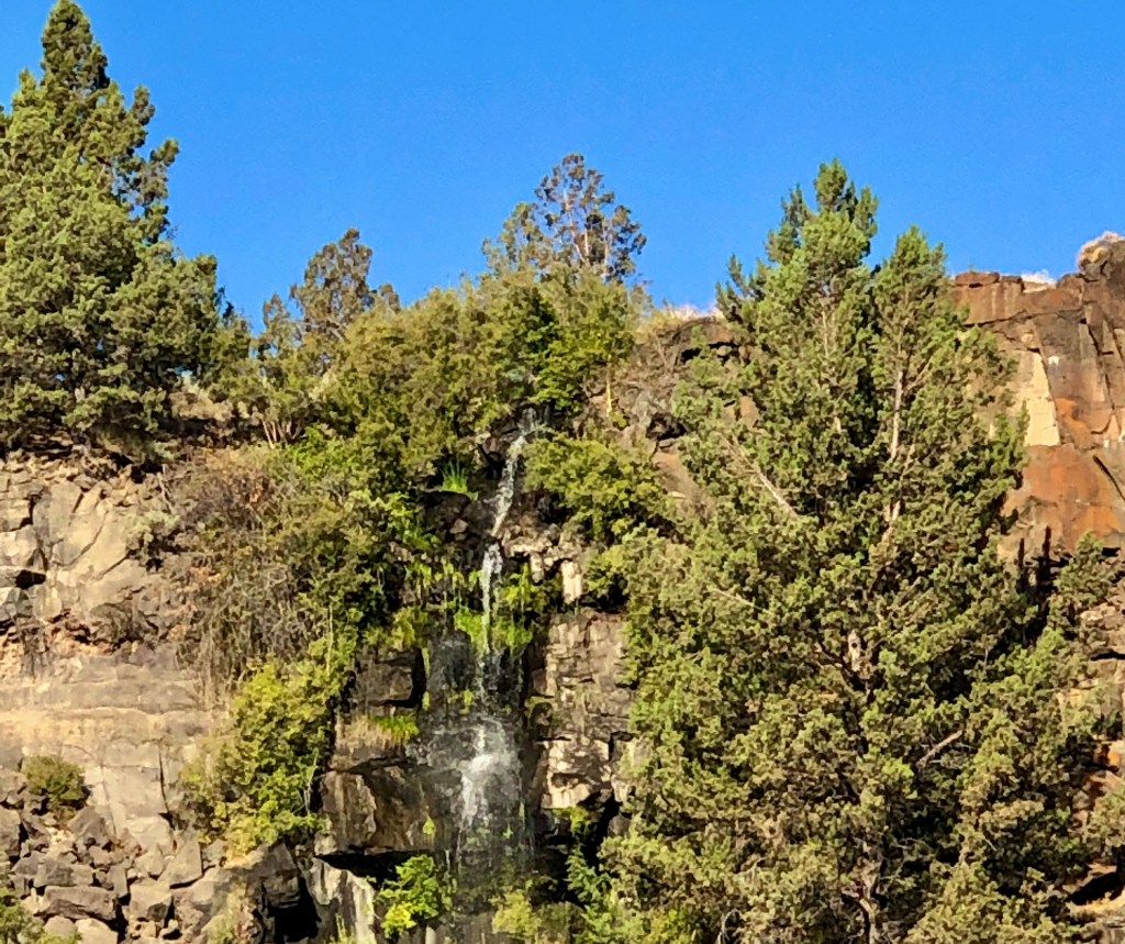
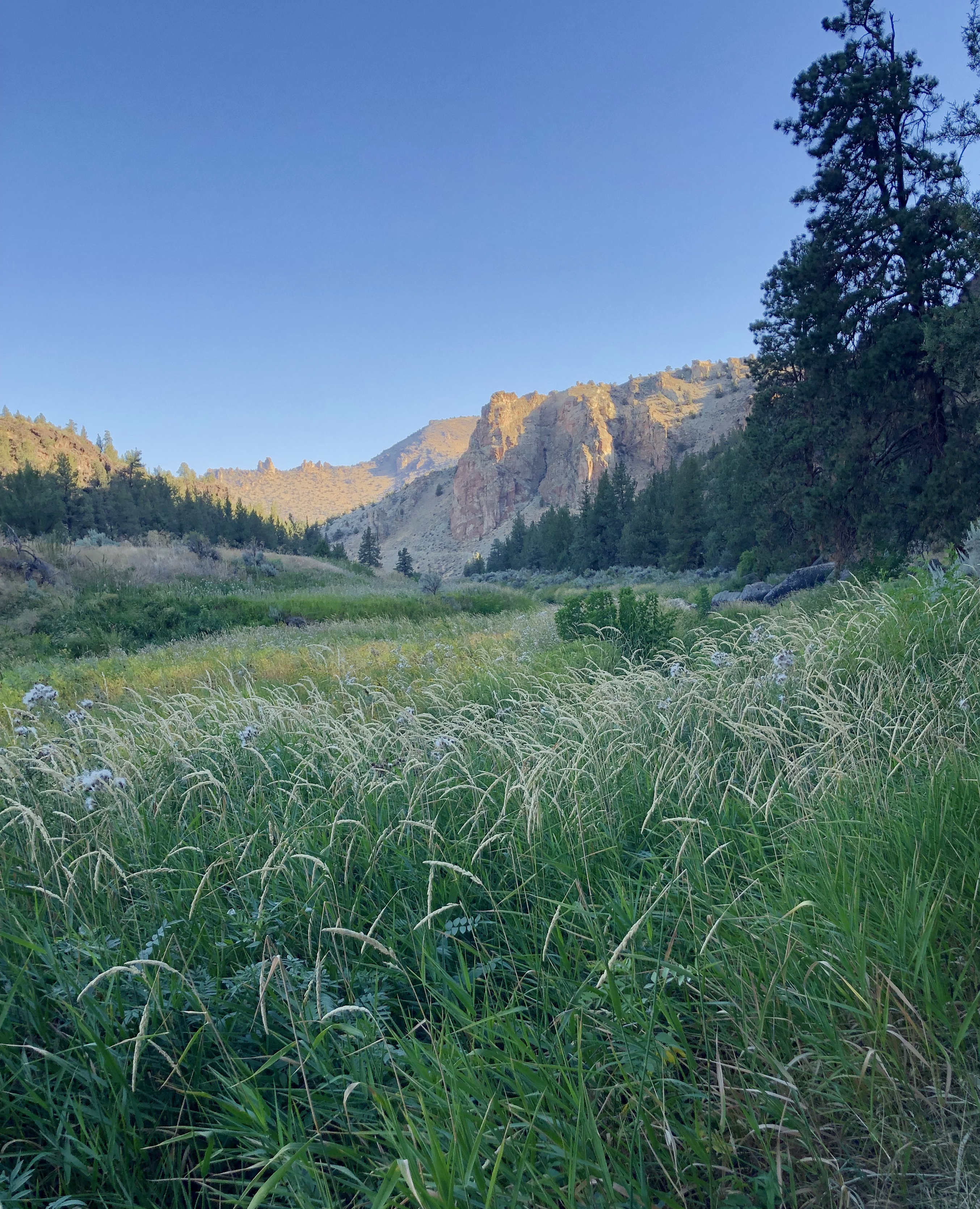
Once down to the valley floor there are more rock formations to take in, a wooded area, and then back to a delightful adventure along the Crooked River with ducks and geese, and a beaver. What an adventure filled with wonder… when you are Pursuing Balance Through Adventure.

Wow, Smith Rock, ya’ just gotta’ luv it! Adventure and Balance is what we are pursuing so FOLLOW, LIKE, COMMENT, and SHARE so together we can accomplish this type of harmony.

Roger Jenkins Pursuing Balance Through Adventure
Video Clips of Smith Rock ‘Pursuing Balance Through Adventure‘

Paulina Falls Trail

DESCHUTES NATIONAL FOREST

NEAR LA PINE, OREGON

Activity: Day Hike

Date: August 27, 2019

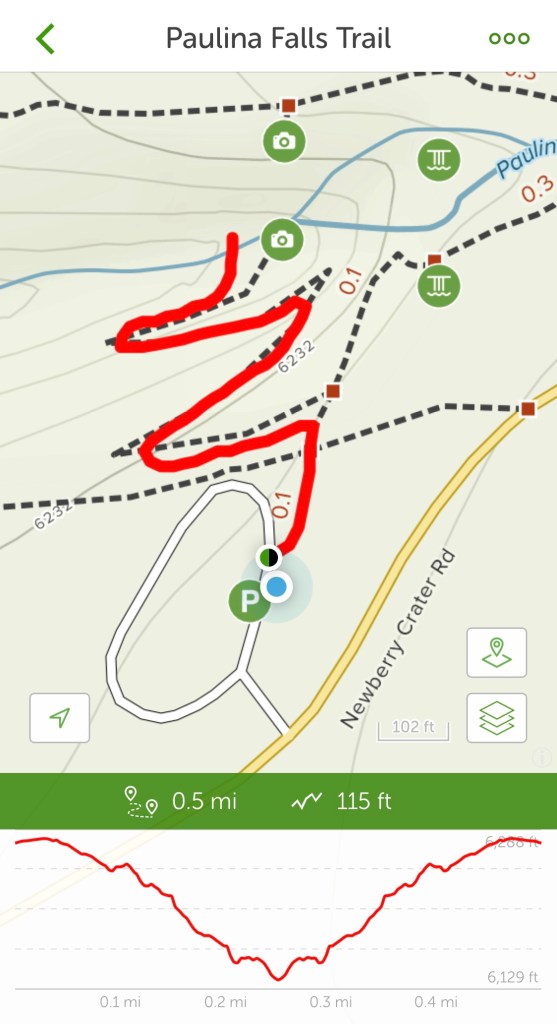
Distance: 1/2 mile, 115’ elevation change, 20 minute duration,

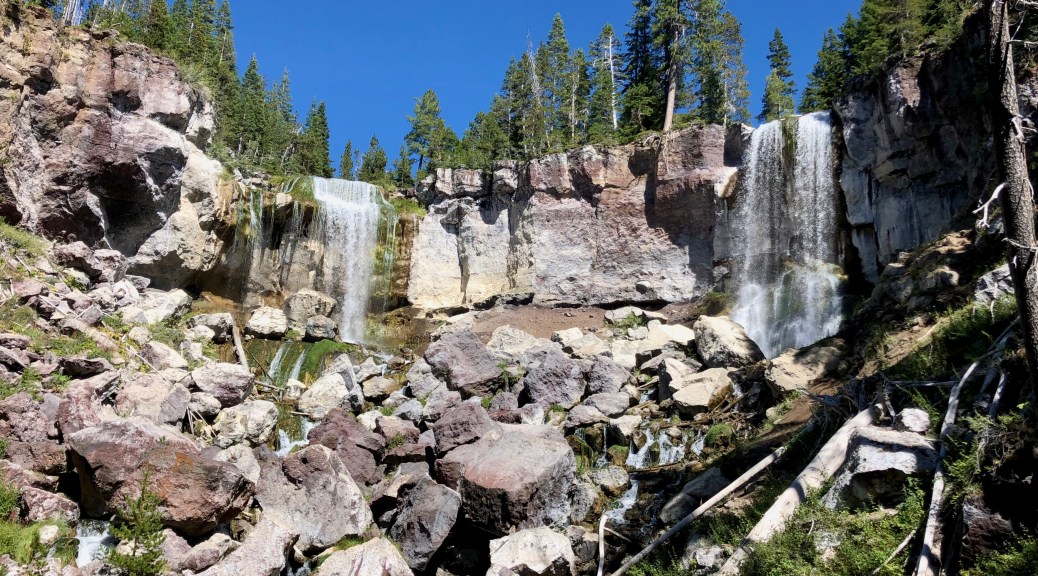
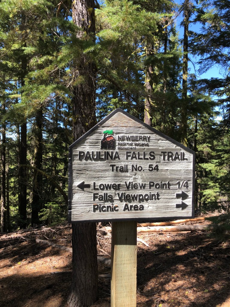
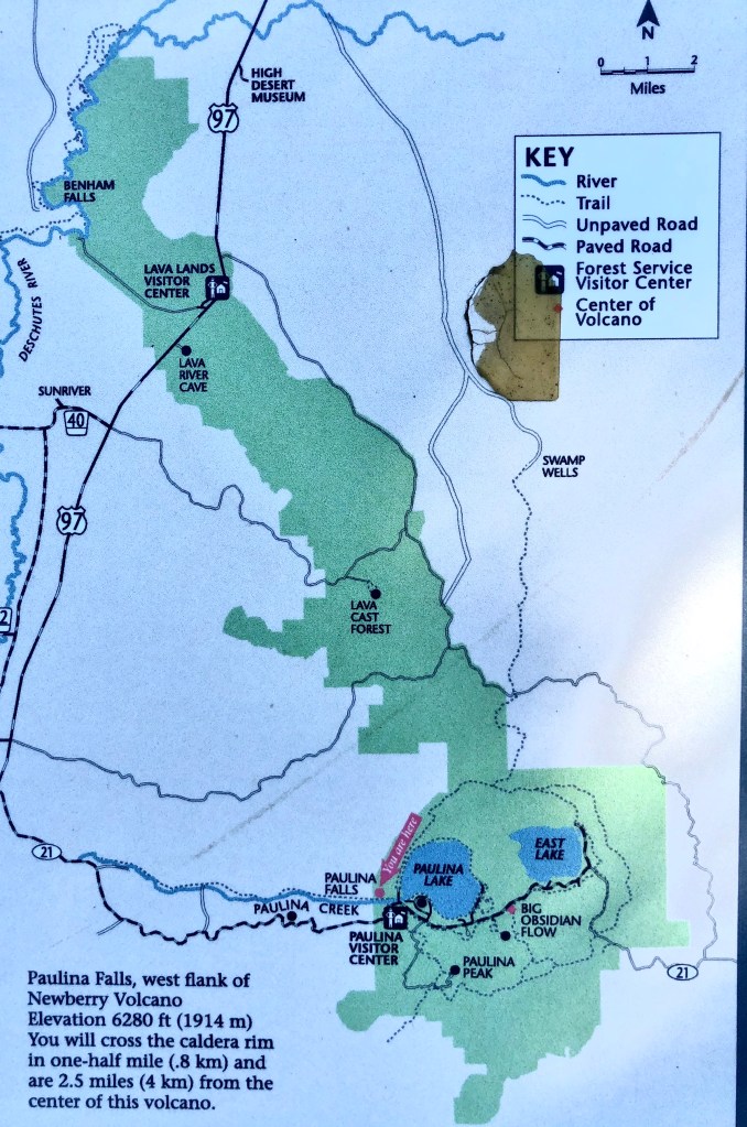
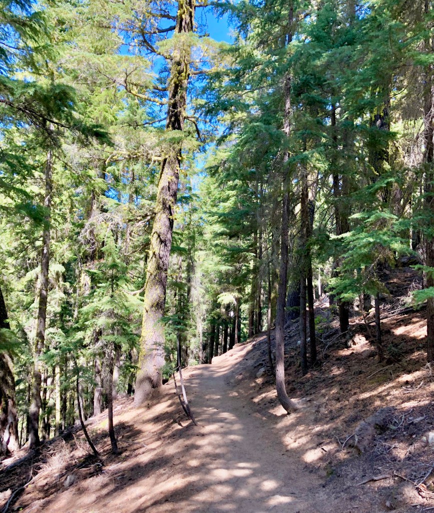
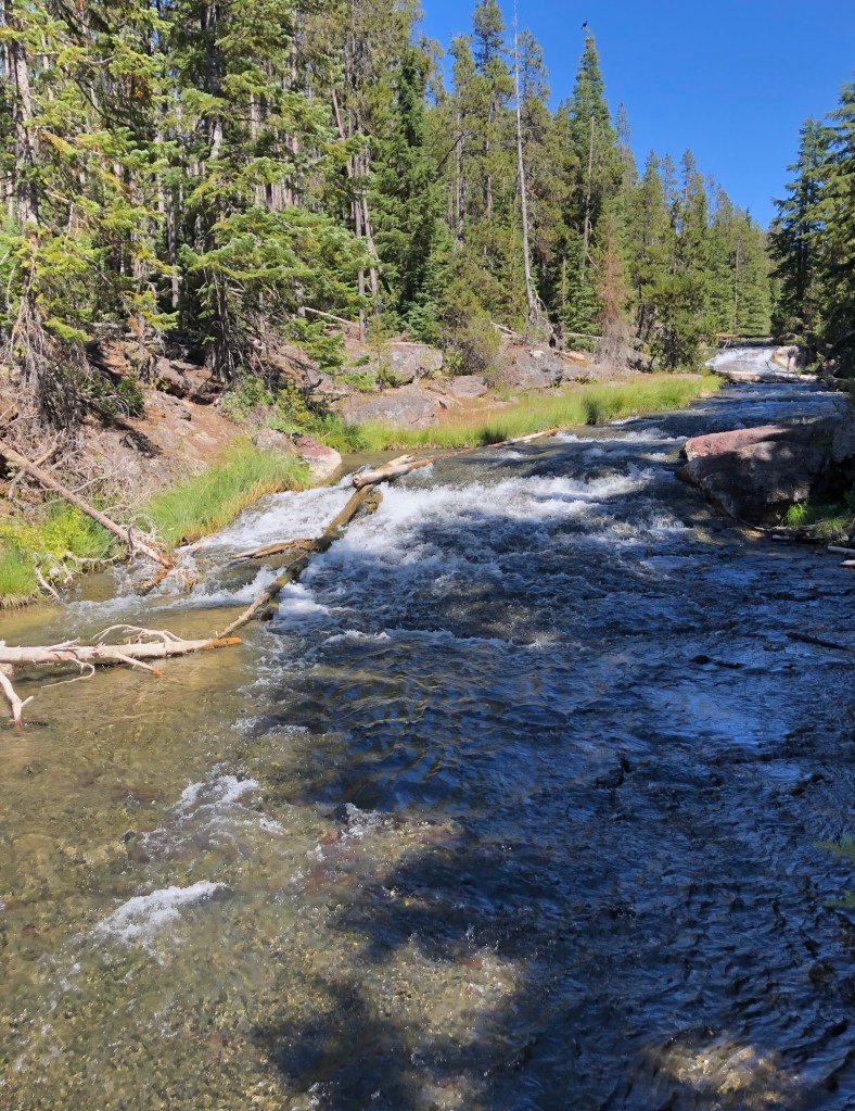
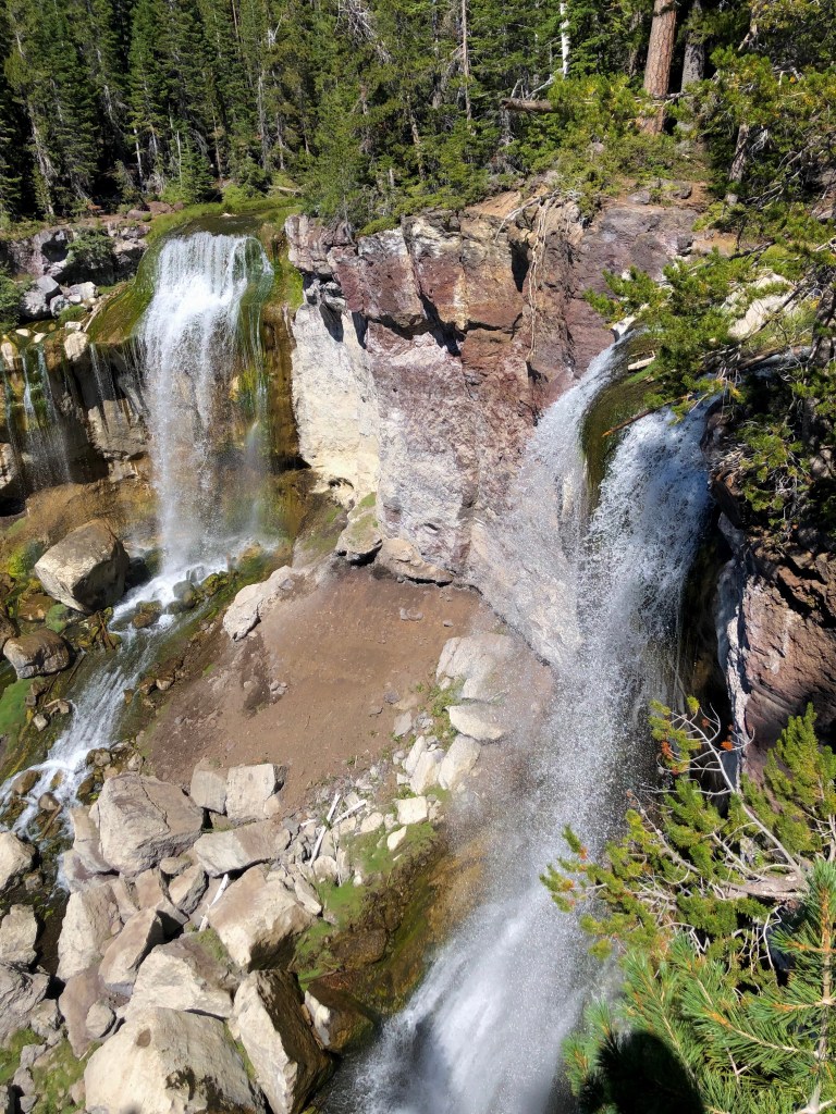
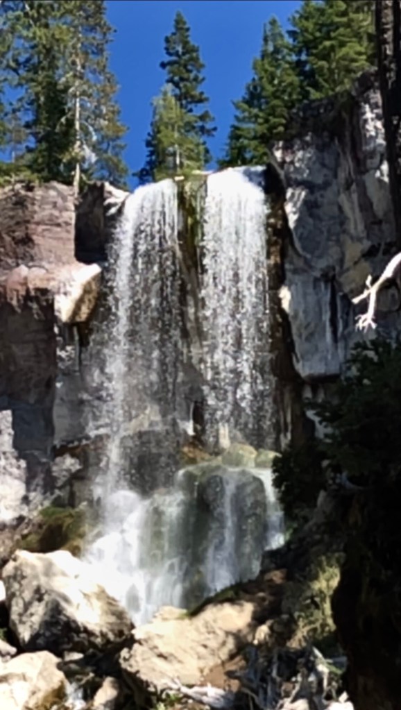
This is a very short hike, actually more of a nature walk, to a couple scenic view spots of Paulina Falls. This is a beautiful 80 foot double falls. One of the view points is looking at the falls from almost straight across. The other view point is at the bottom which is achieved by taking the trail with a few switch backs. The falls is quite nice as the water cascades from the double falls to a jumble of rocks below.

If you wanted a regular hike instead of a nature walk there is a trail called the Paulina Creek Trail which I did not try but the small section of it that I did see looked very nice. It can be sourced from the same parking area that I was in to do the Paulina Peak Trail.

“As long as I live, I’ll hear waterfalls and birds and winds sing. I’ll interpret the rocks, learn the language of flood, storm, and the avalanche. I’ll acquaint myself with the glaciers and wild gardens, and get as near the heart of the world as I can”. – John Muir

Thanks for joining me at Paulina Falls. I just love waterfalls don’t you? Well, one way to join me on more adventures to waterfalls so that you can be inspired to be ‘Pursuing Balance Through Adventure then LIKE, COMMENT, FOLLOW, and SHARE.
Roger Jenkins, Pursuing Balance Through Adventure
Some fun Paulina Falls and Paulina Creek video I shot during me adventure. Video is always the best when we are talking about moving water.