
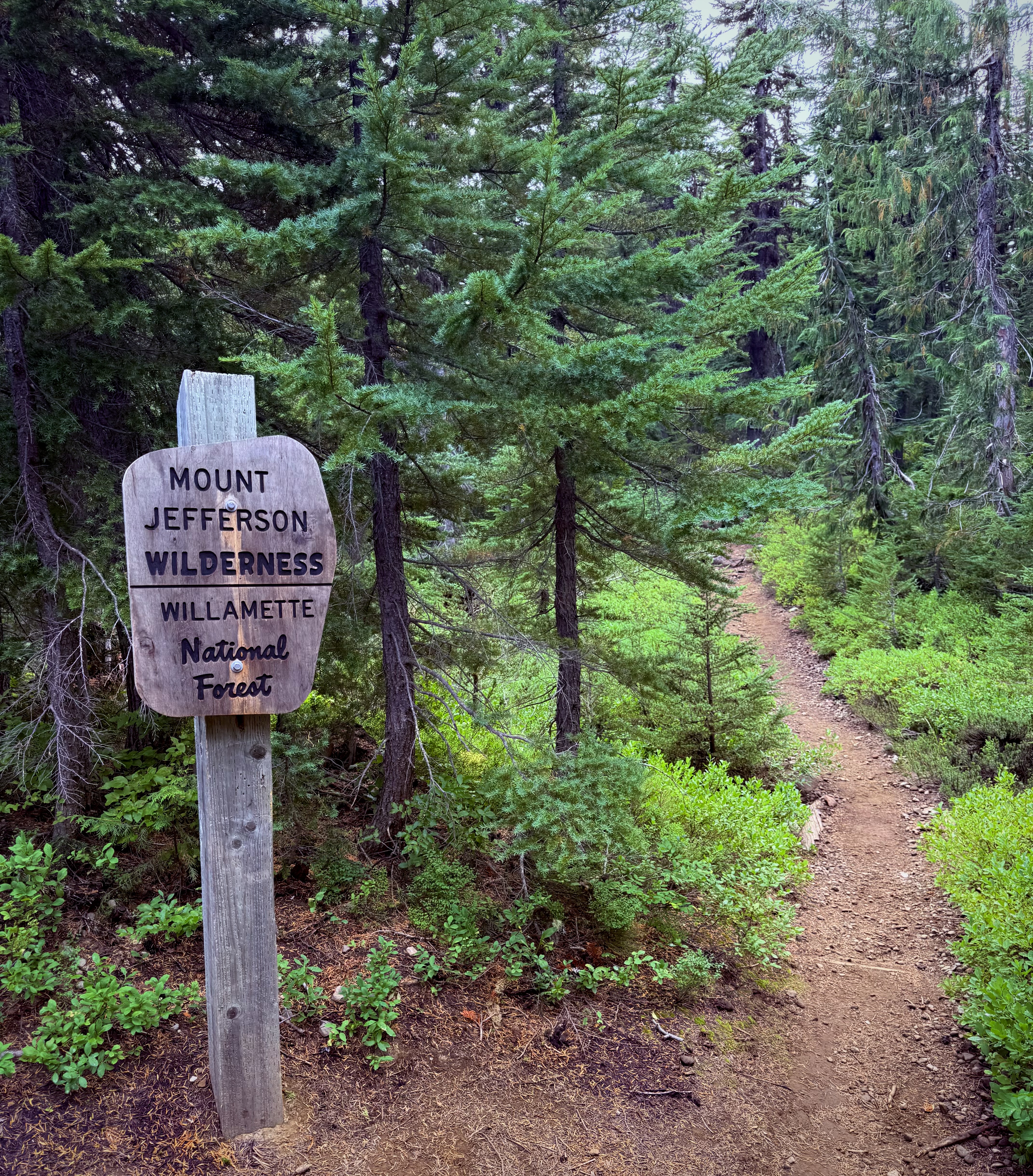
MOUNT JEFFERSON WILDERNESS
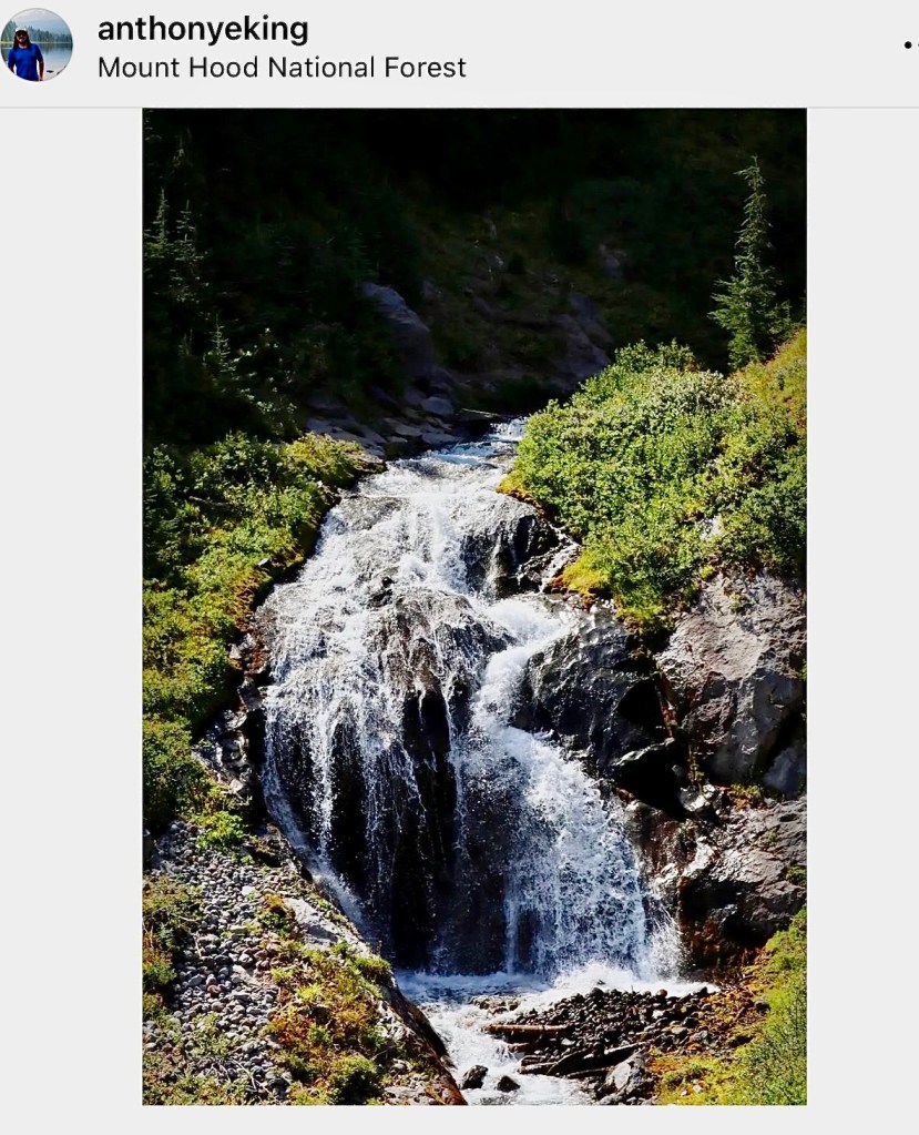
MOUNT HOOD NATIONAL FOREST
WILLAMETTE NATIONAL FOREST
Activity: Backpacking
41 miles, 7,014 elevation gain, 21 hours moving time, rated Moderate to Hard
Date: 8/25-30/25
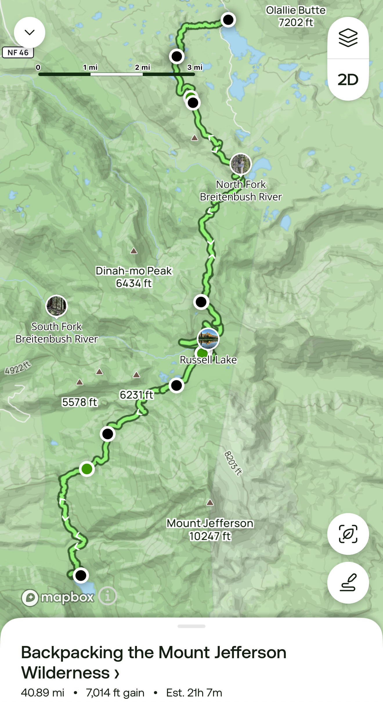
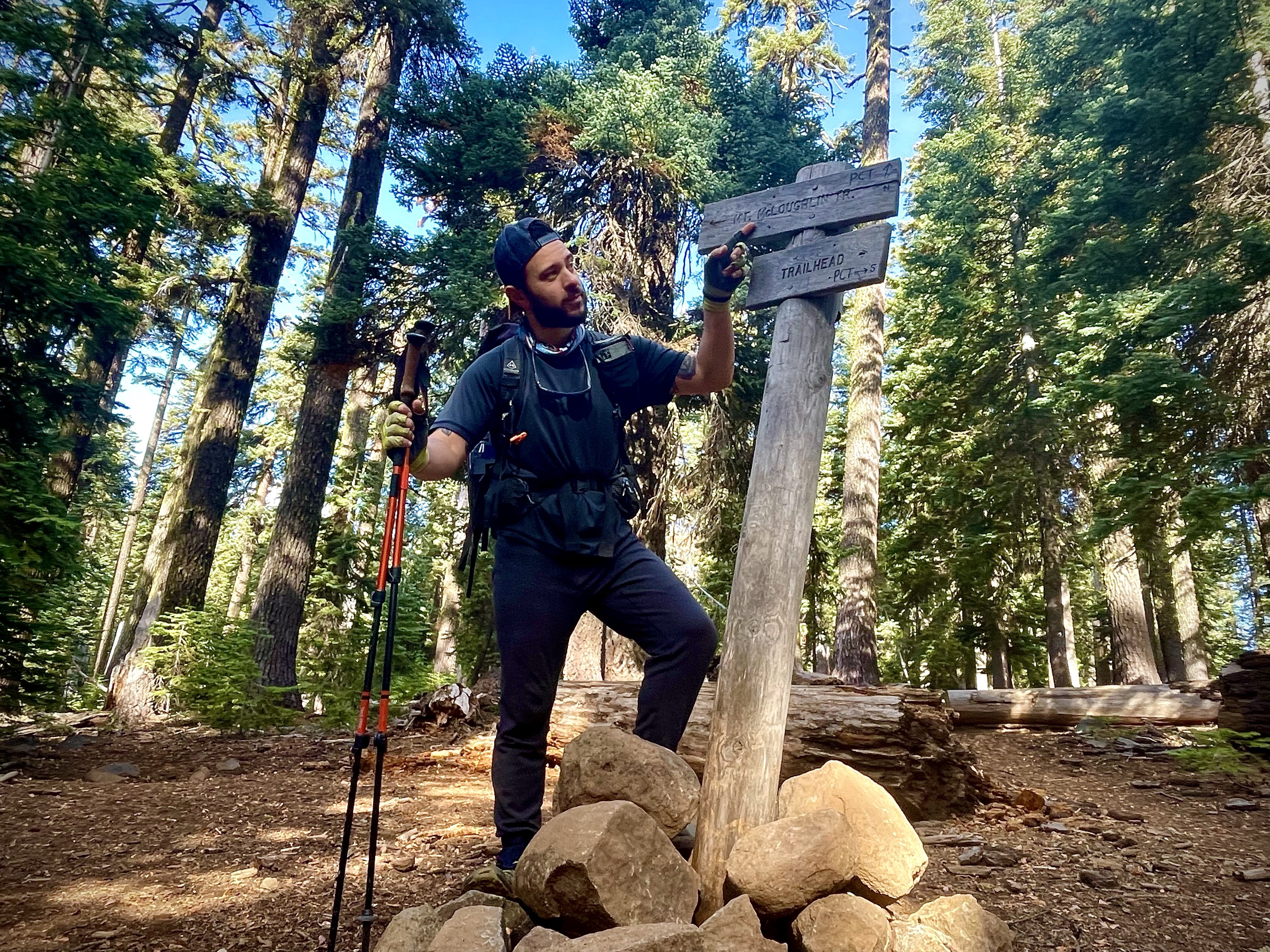
Day 3: Pamelia Lake to Russell Lake
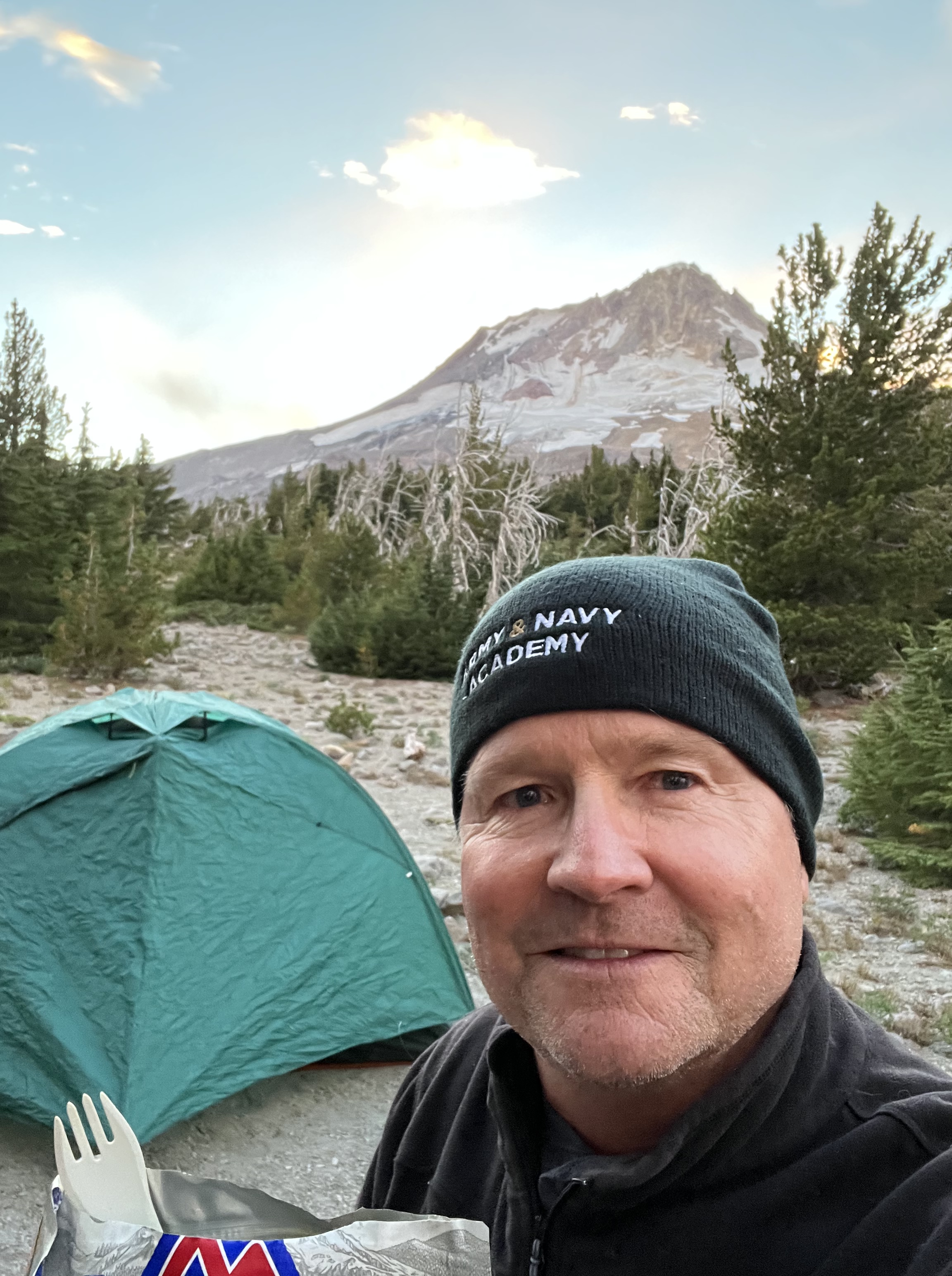
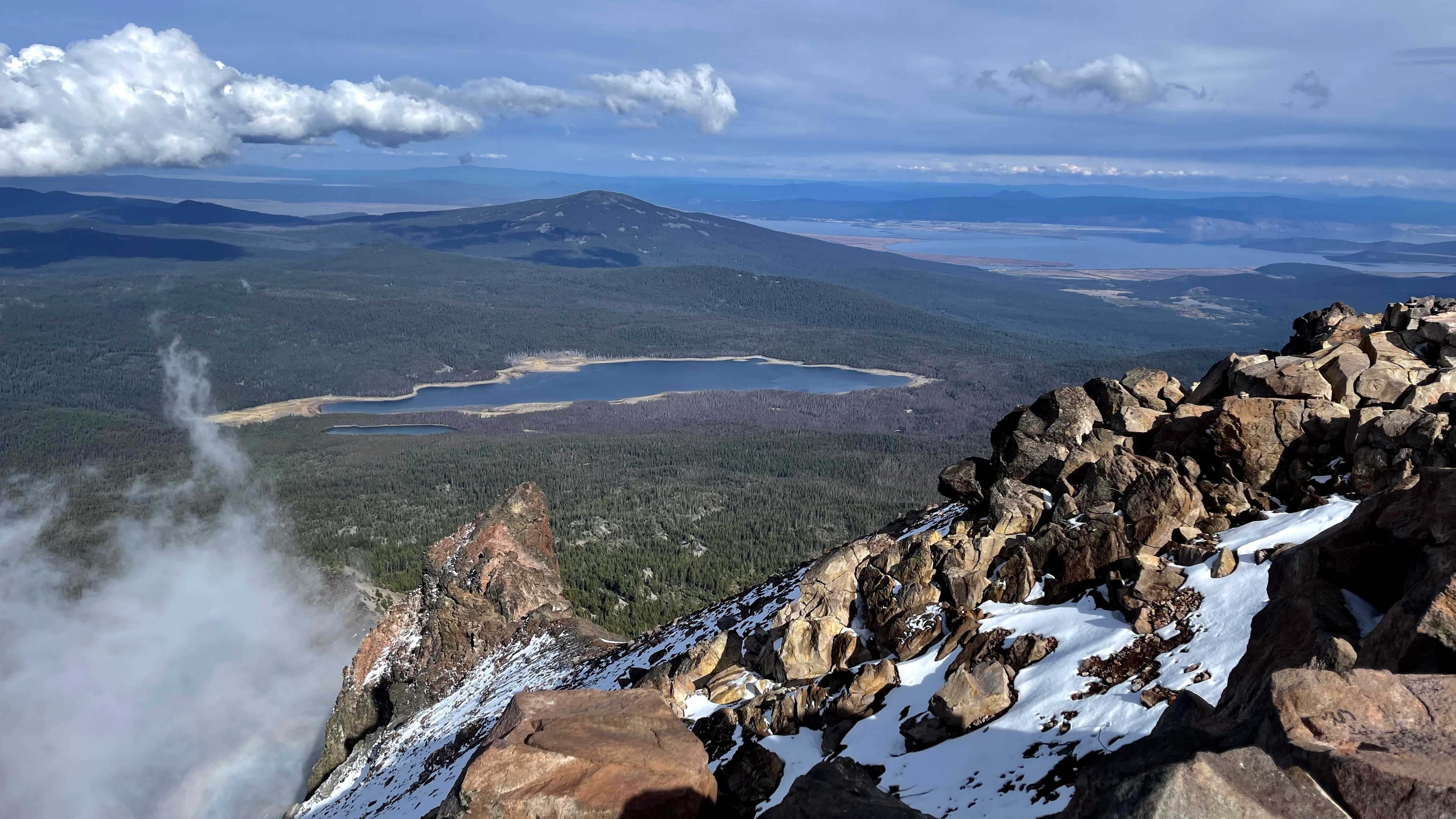
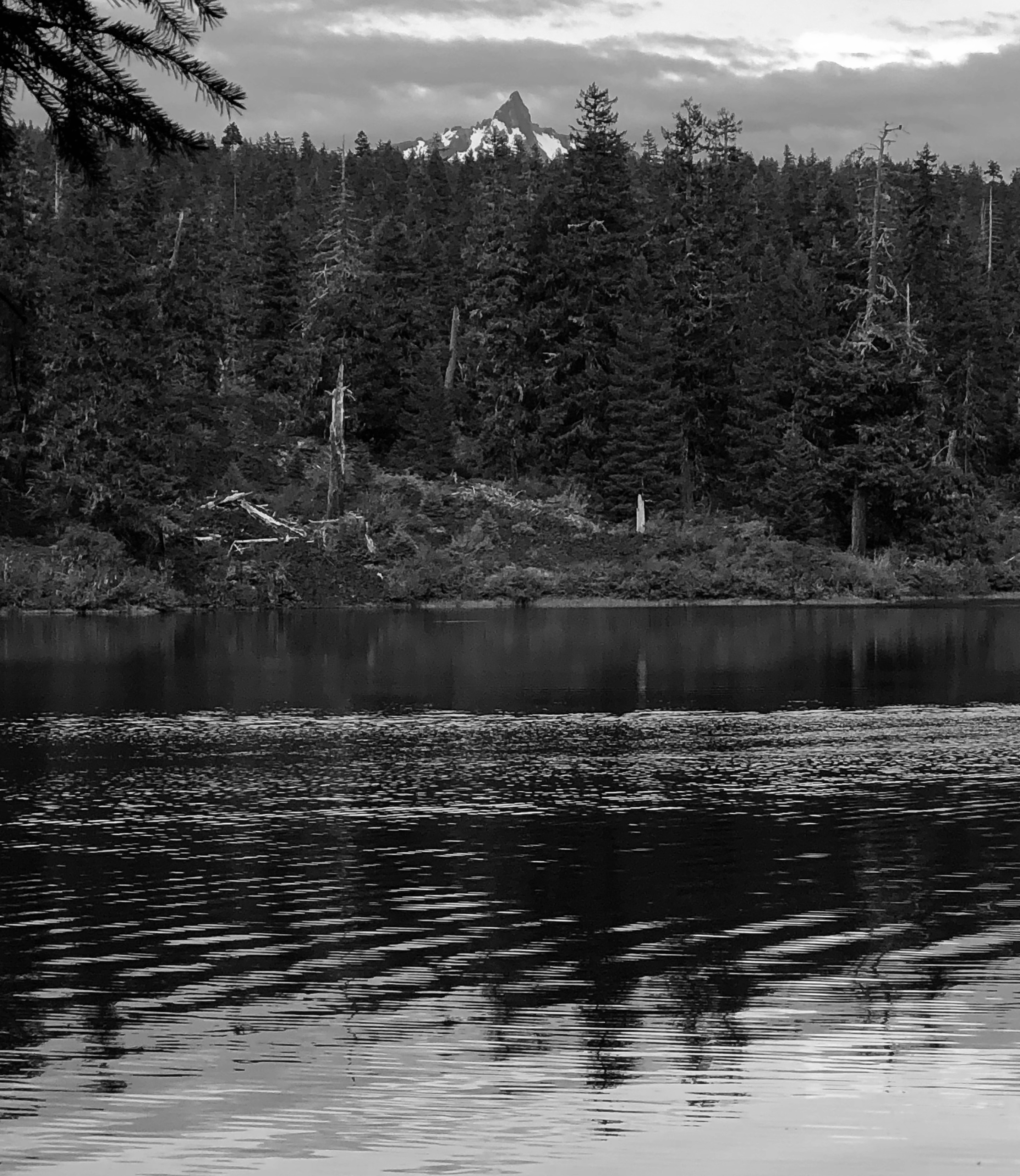
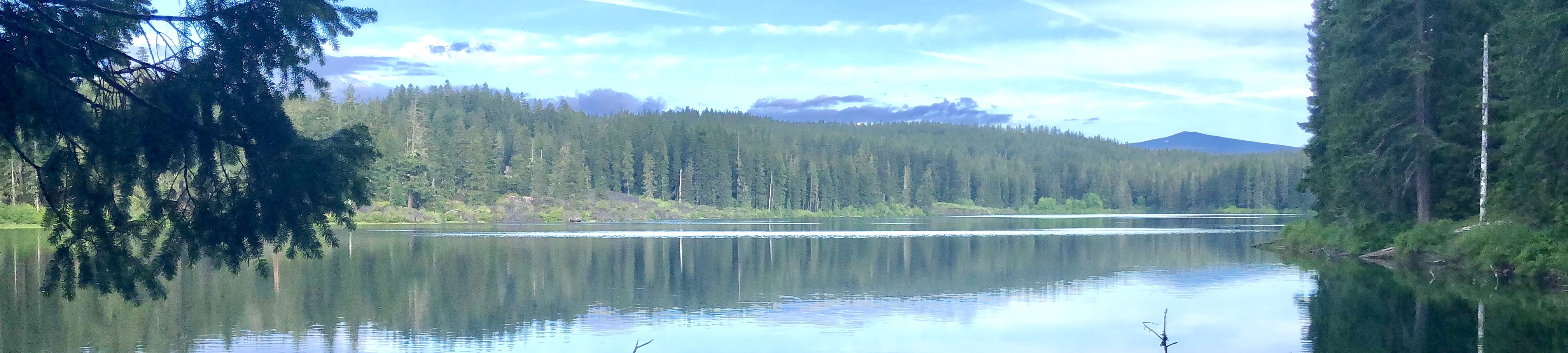
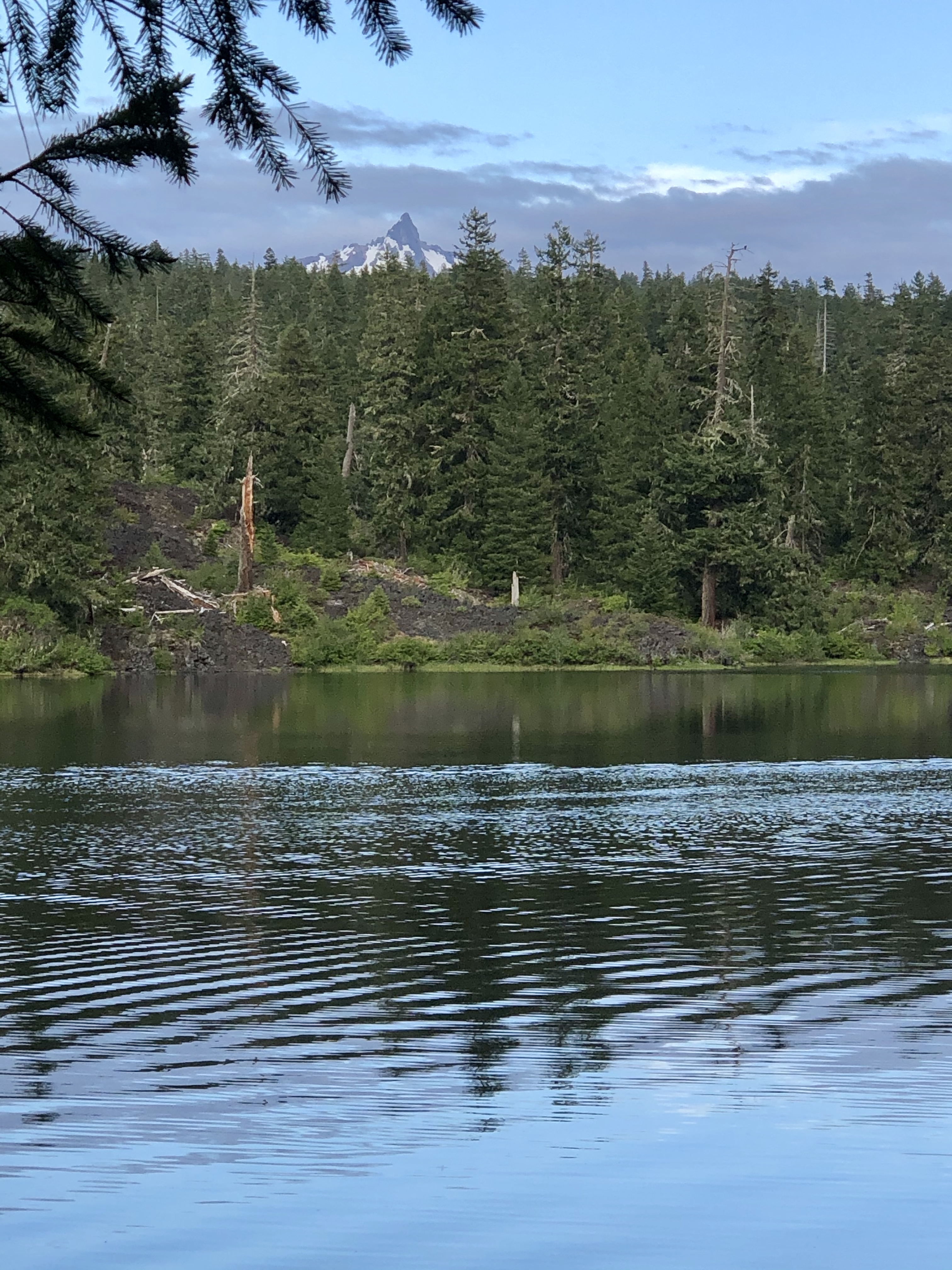
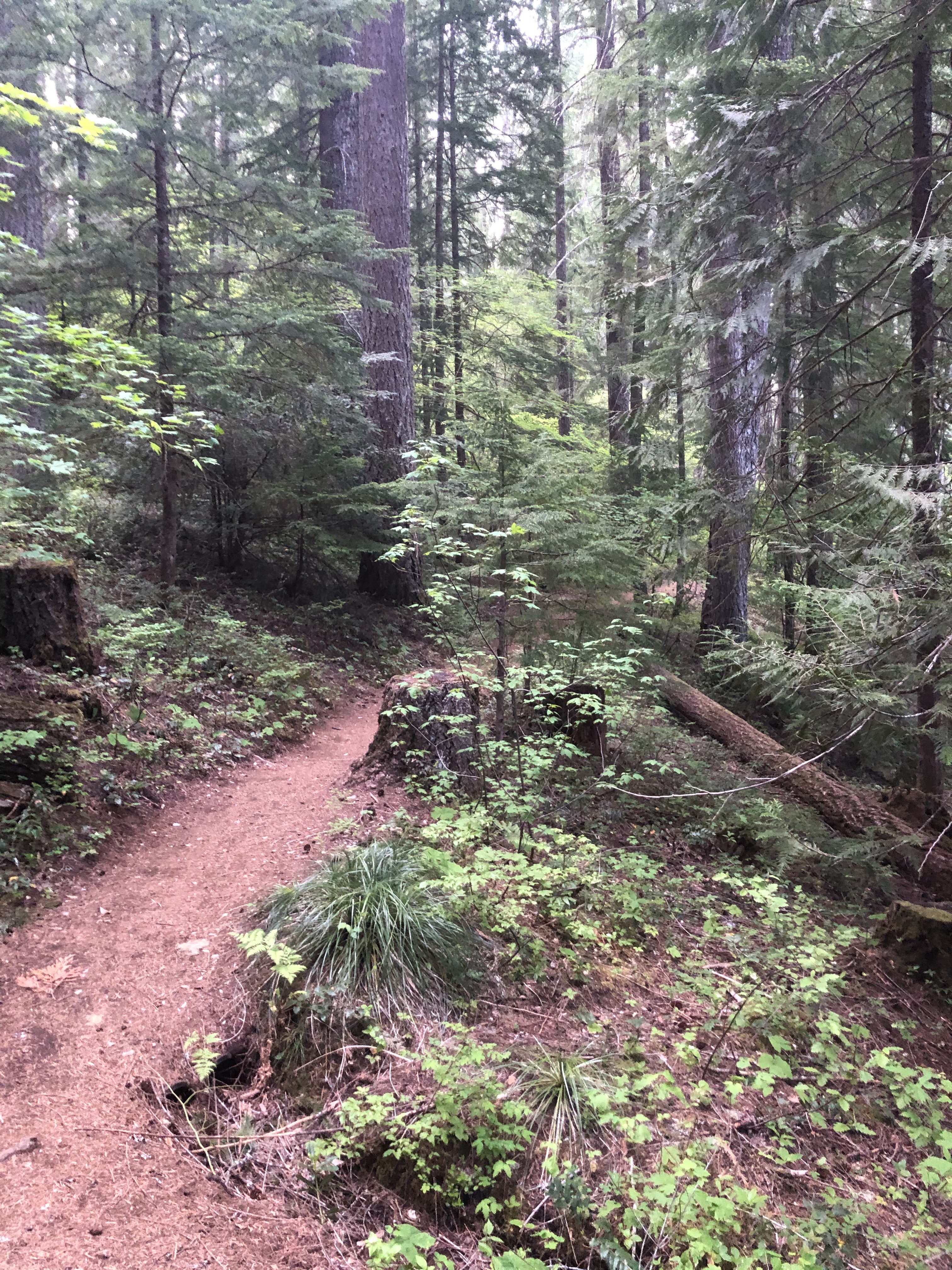
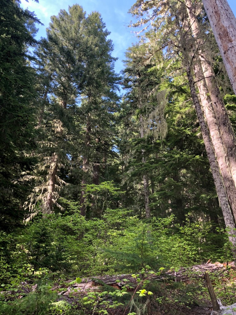
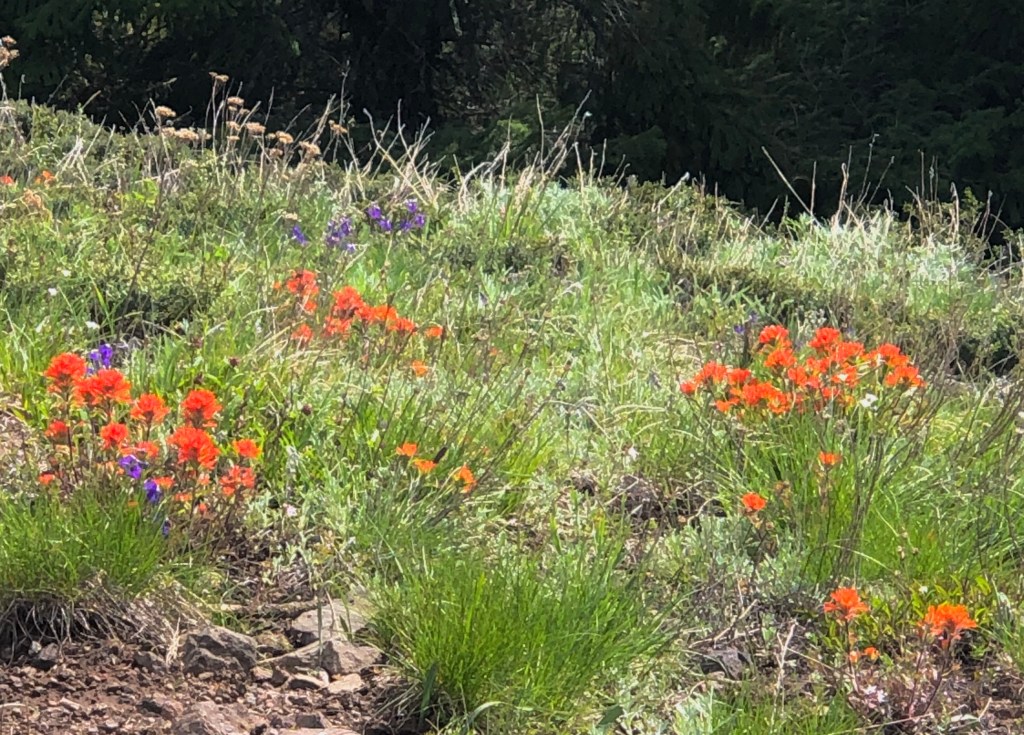
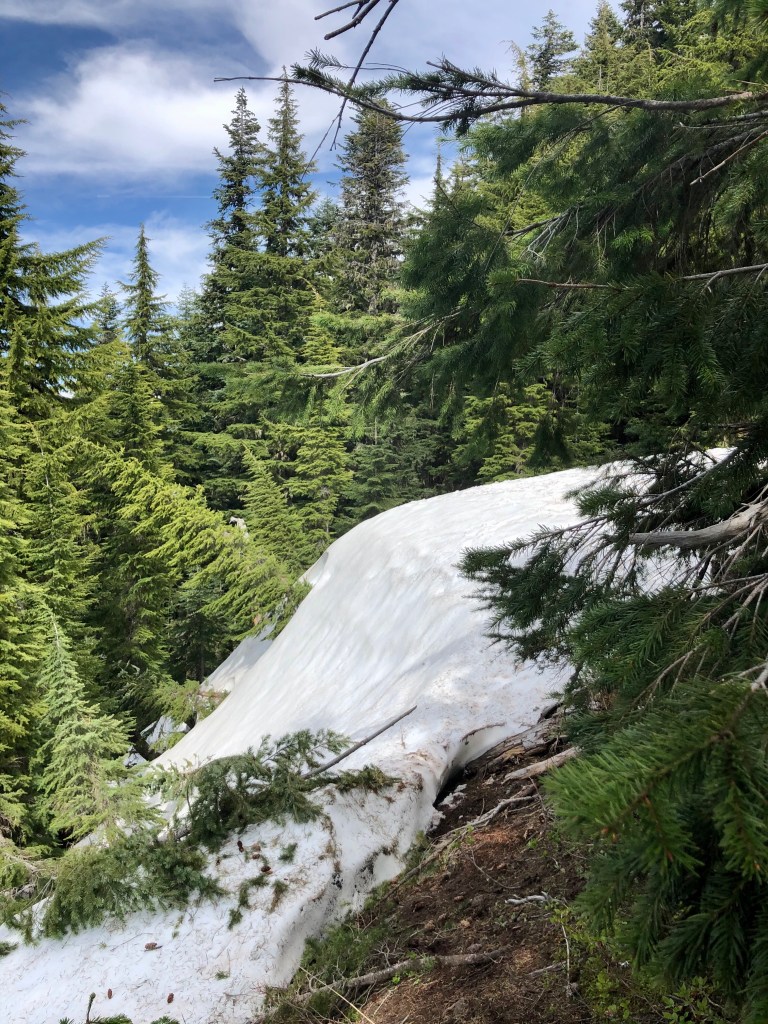
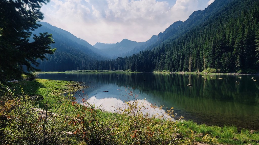
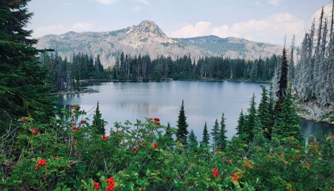
The day began in the dense thicket of fir trees along the shores of the ever so still Pamelia Lake. The lake reflected the evergreens and steep mountainside of Grizzly Peak just opposite our location. The scene was so peaceful and soothing as we filtered water for the days journey back to Jefferson Park.
I was apprehensive about the remainder of our trek. The first day we climbed in elevation to Park Ridge, the high point of the expedition. It was a not easy and I tired along the route. Now on Day 3 we were at the lowest elevation. We had done nothing but descend to this wonderful lake, but now it would be all up hill from here.
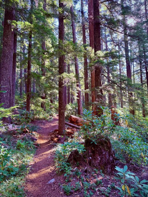
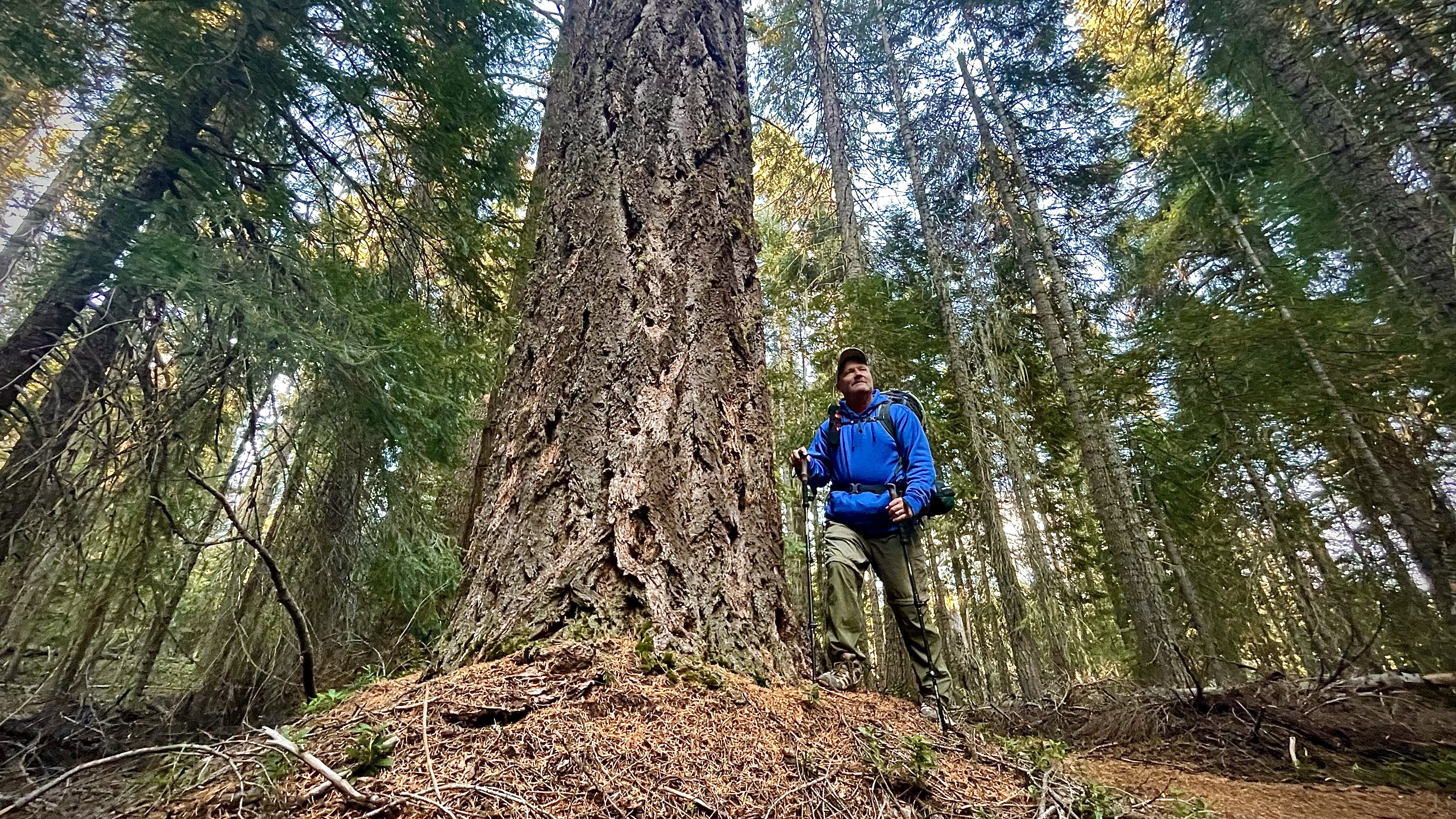
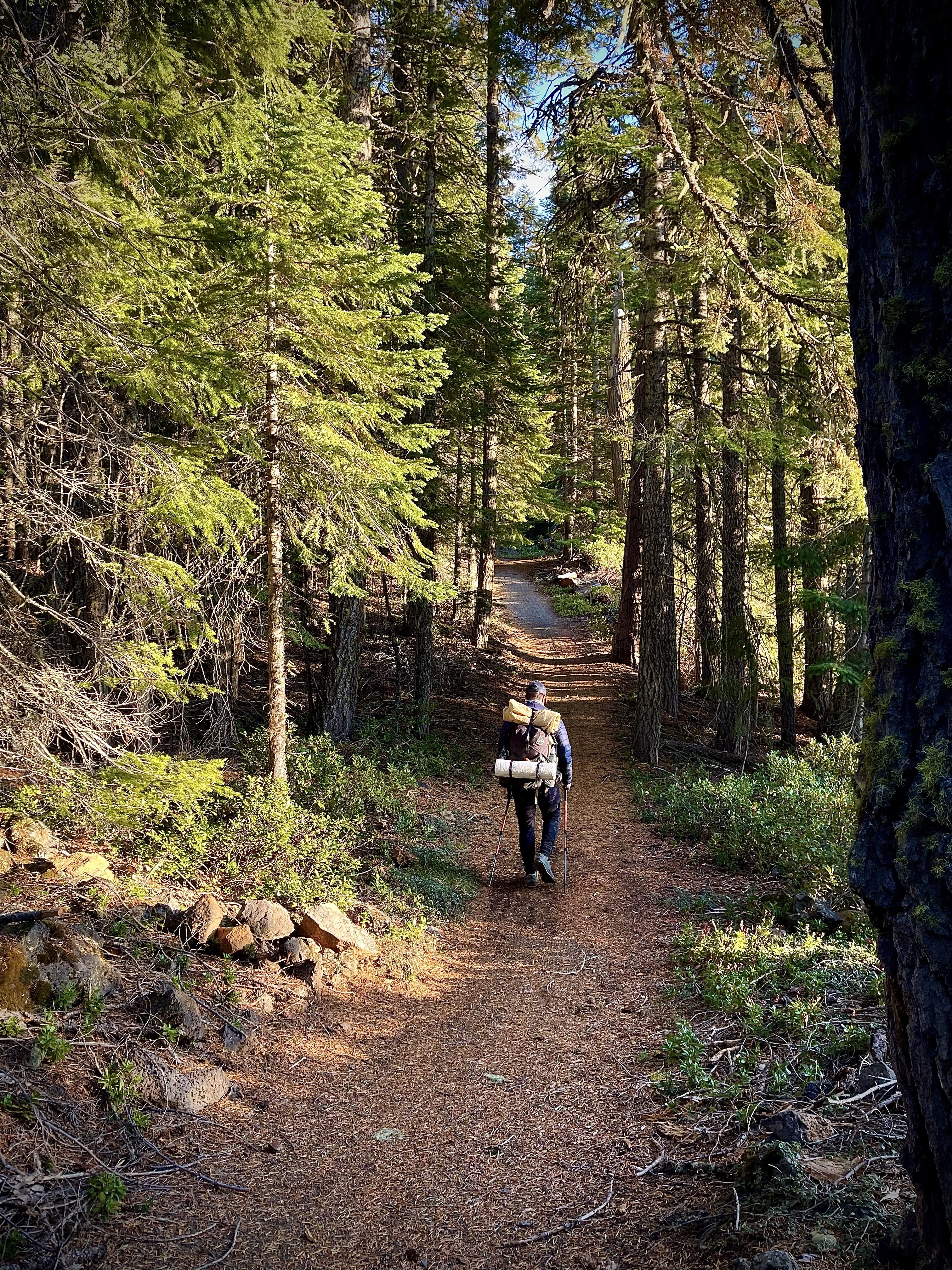
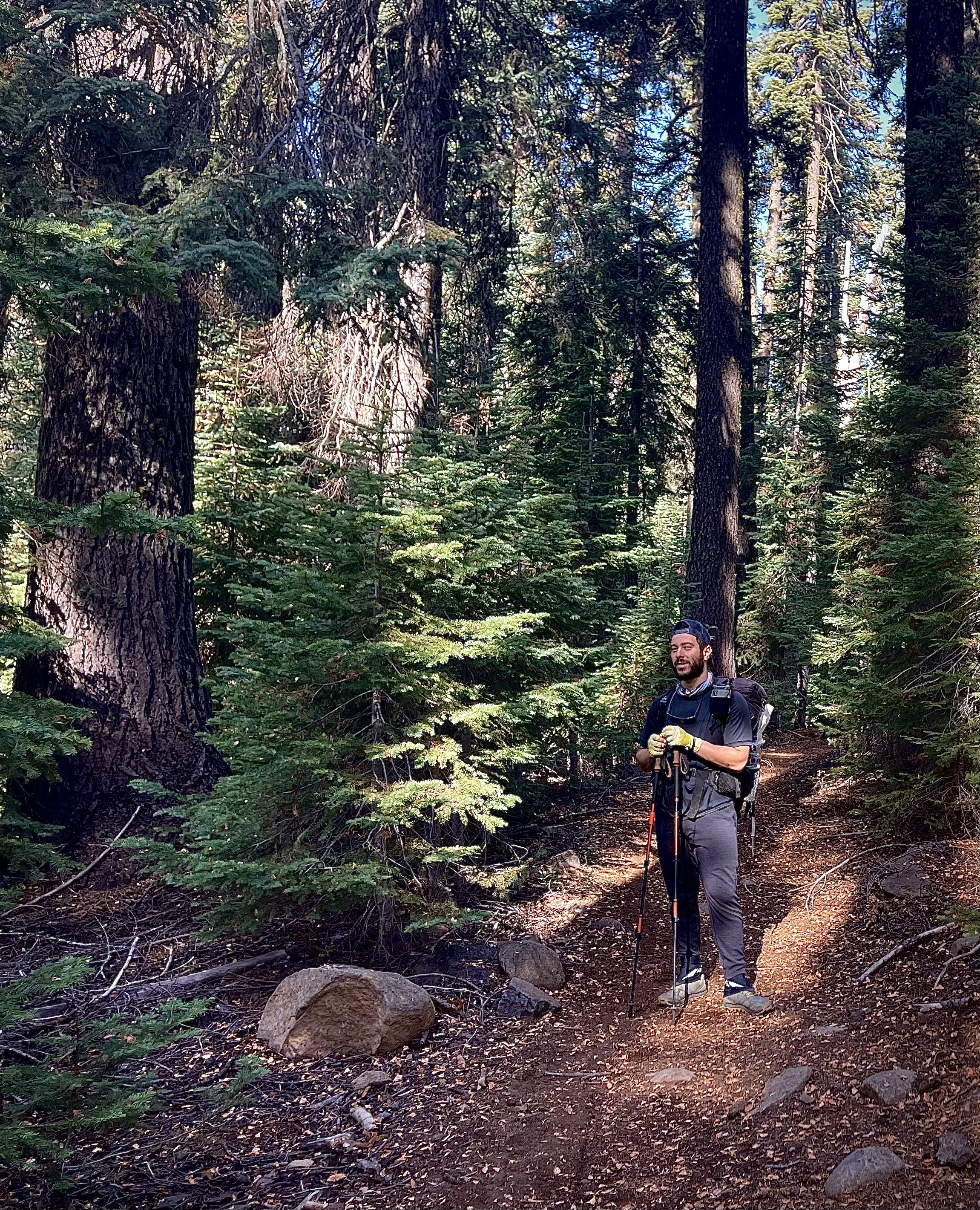
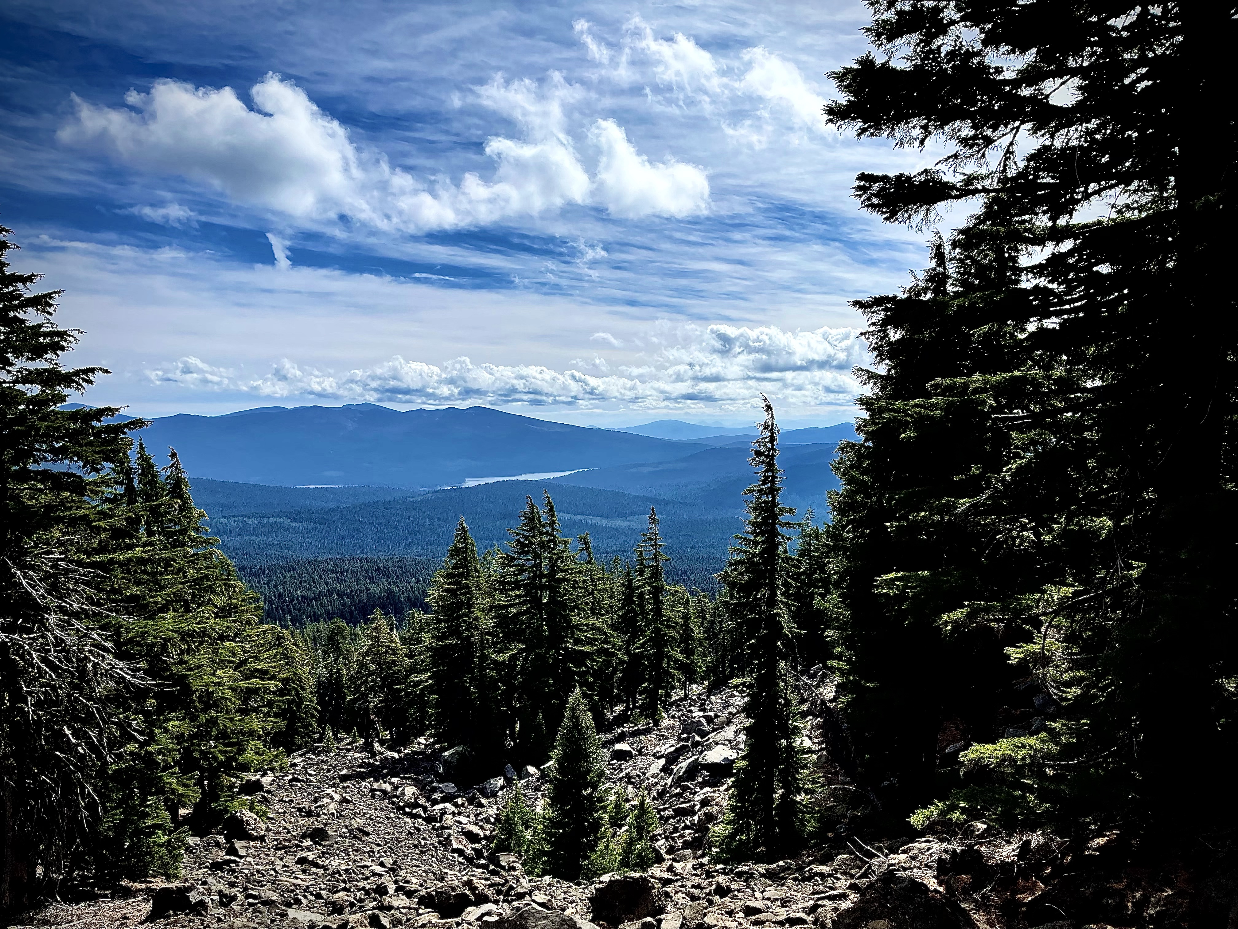
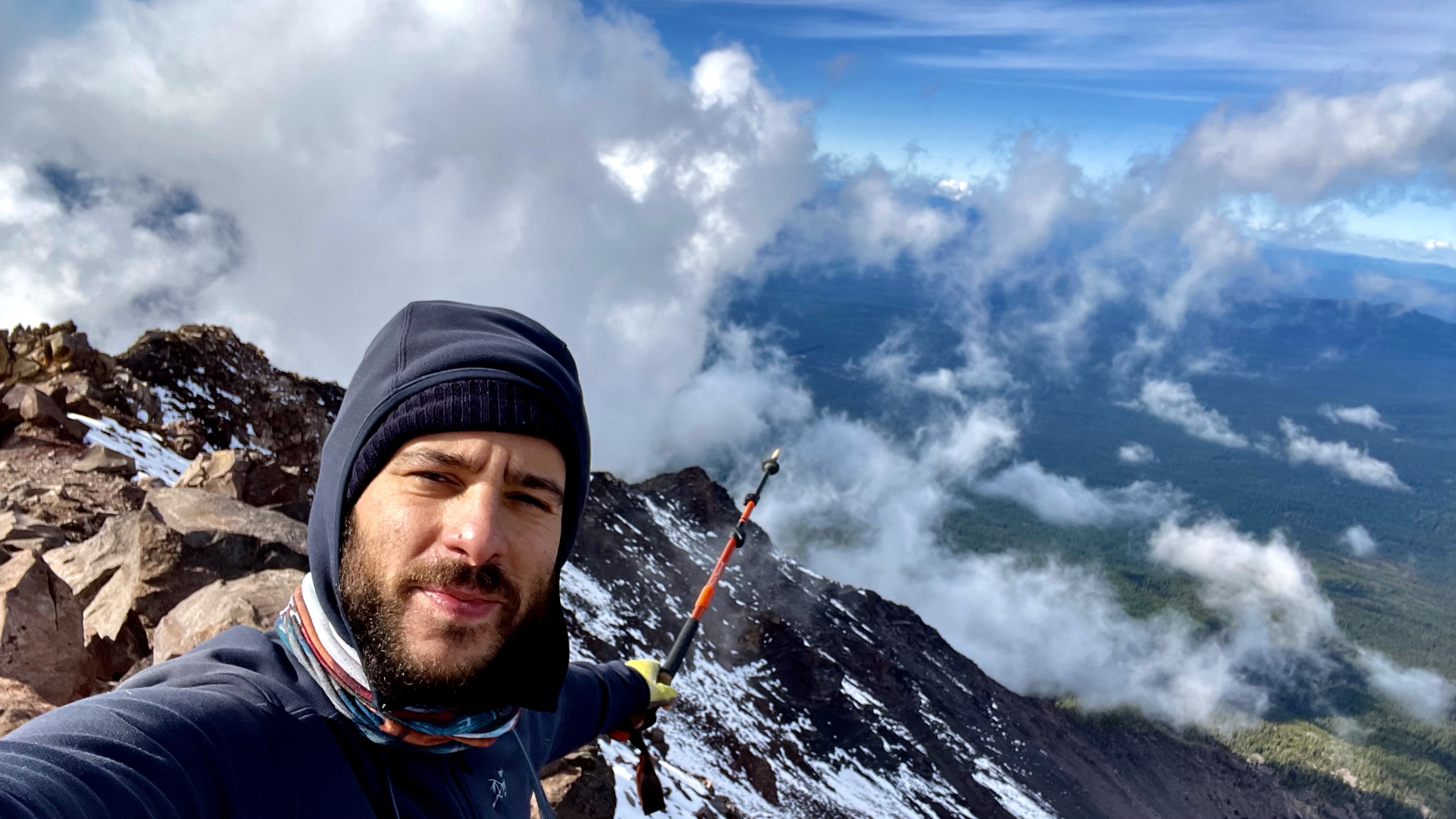
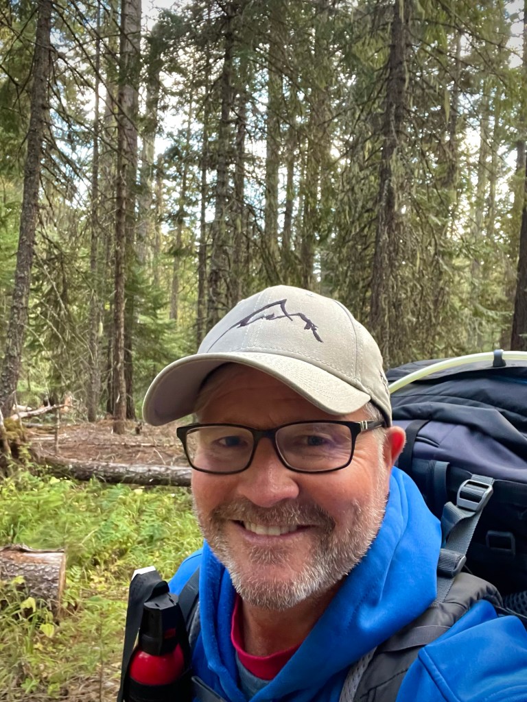
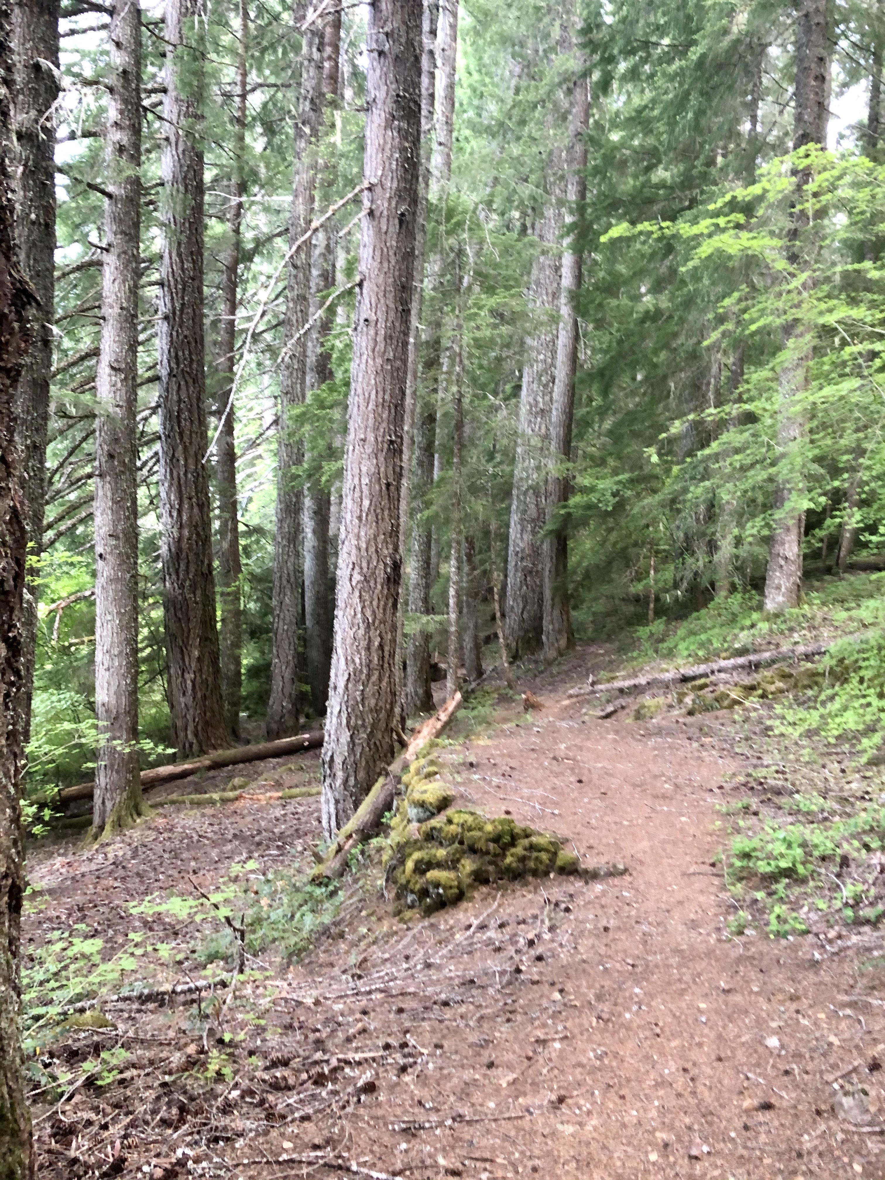
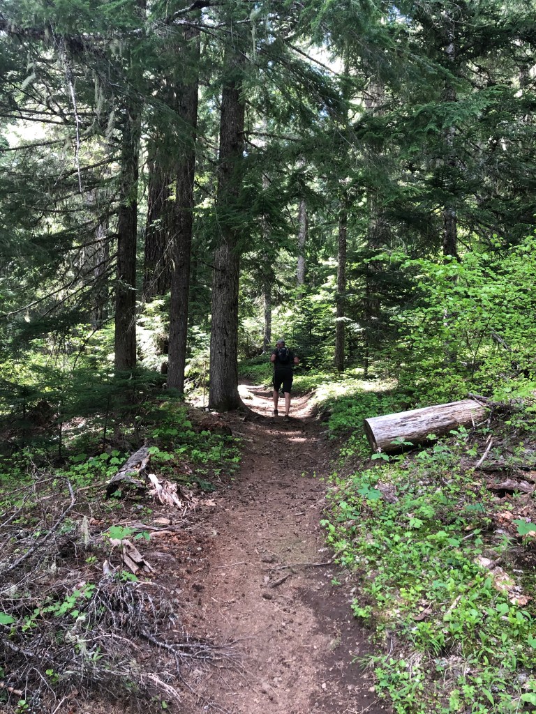
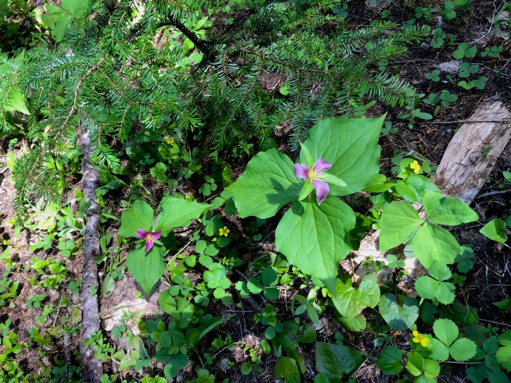
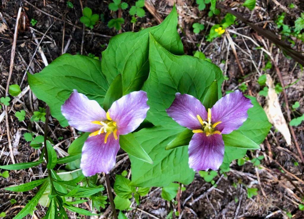
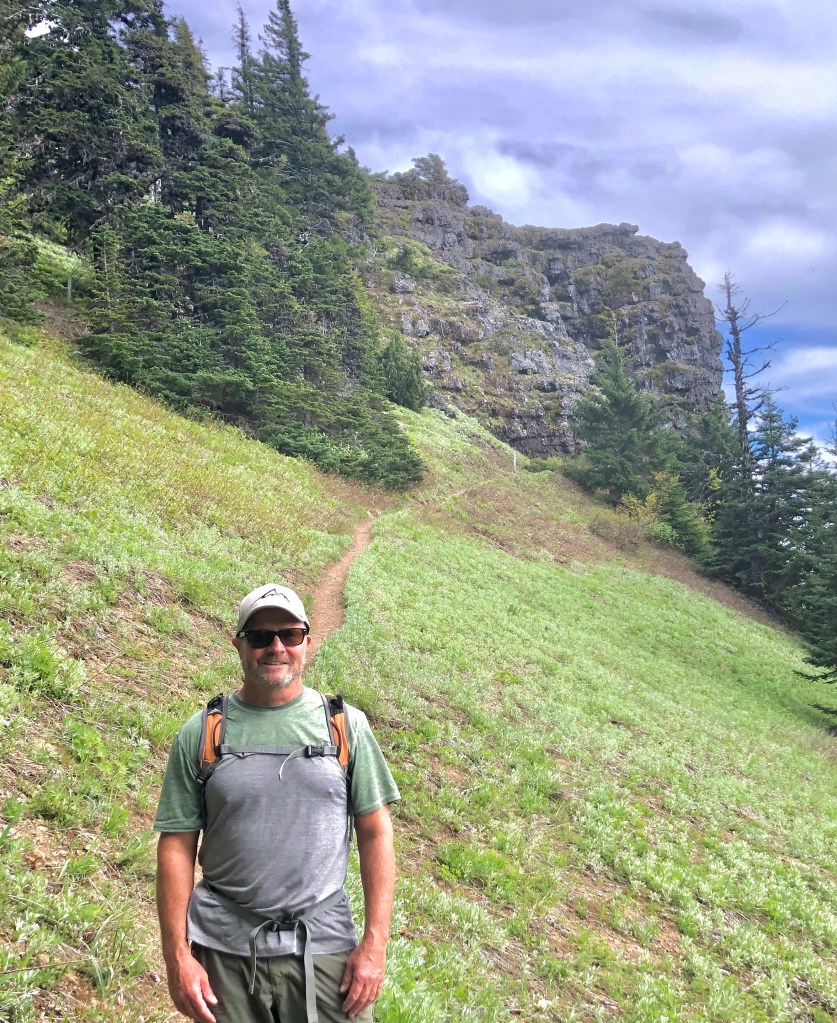
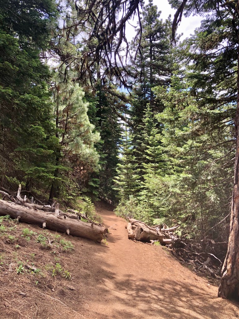
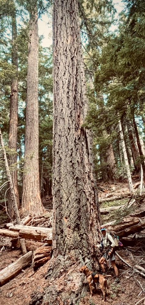
Once again I set out ahead of my fellow backpackers not wanting to slow the others down. The woods we were traveling through were just amazing, many of the fir trees were mighty tall and strong.
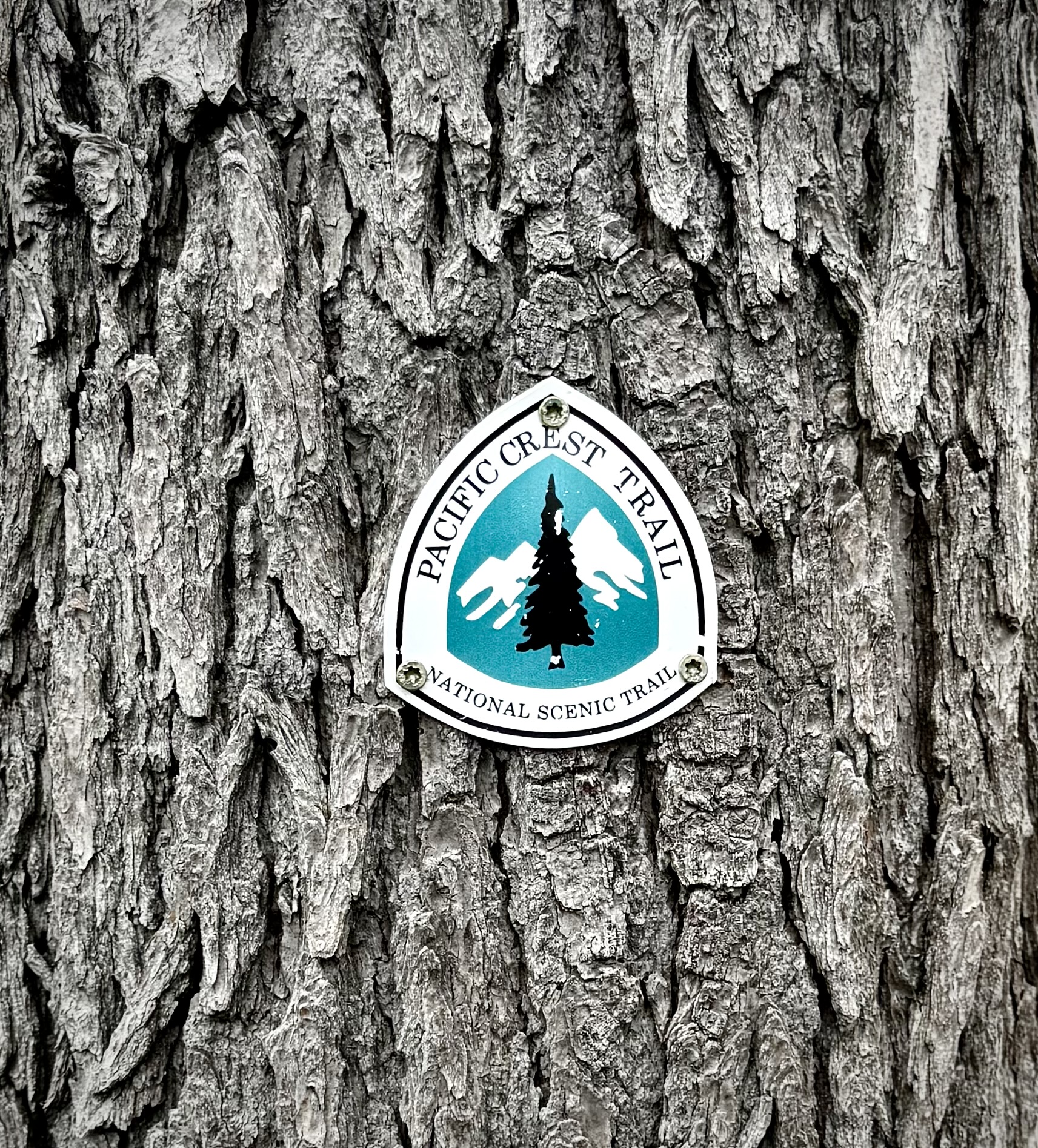
I ran into plenty of PCT Through Hikers and it was always fun to converse with them about their experience and how it was going. I talked to a solo PCT’er from Florida. He was not young and he did not look all that fit, but certainly he was as he had an extraordinary amount of miles under his belt by that point. He was not sure that he would be able to complete his quest before the winter storms in the Cascades would drive him back, but he was going to give it a go. I told him to me such a journey seems impossible. He conveyed that it gets easier and you more or less get used to it. Good for him! How cool. The folks we were meeting on trail now were pretty much the stragglers this late in the season. By the time they reach the North Cascades in Washington there was a real threat of extreme winter conditions in the mountains. Only the most hearty would make it now.
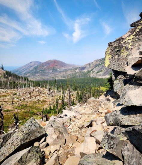
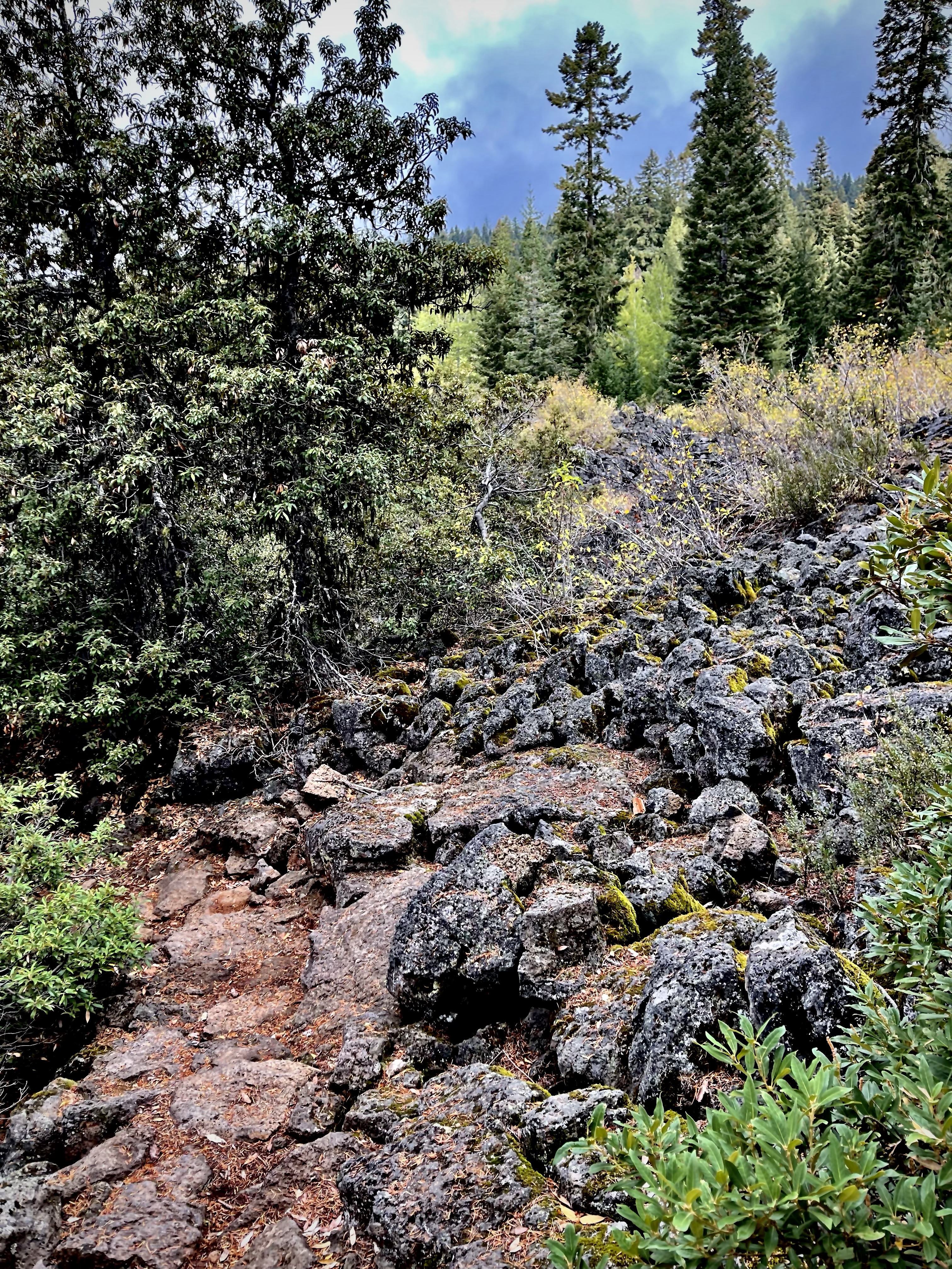
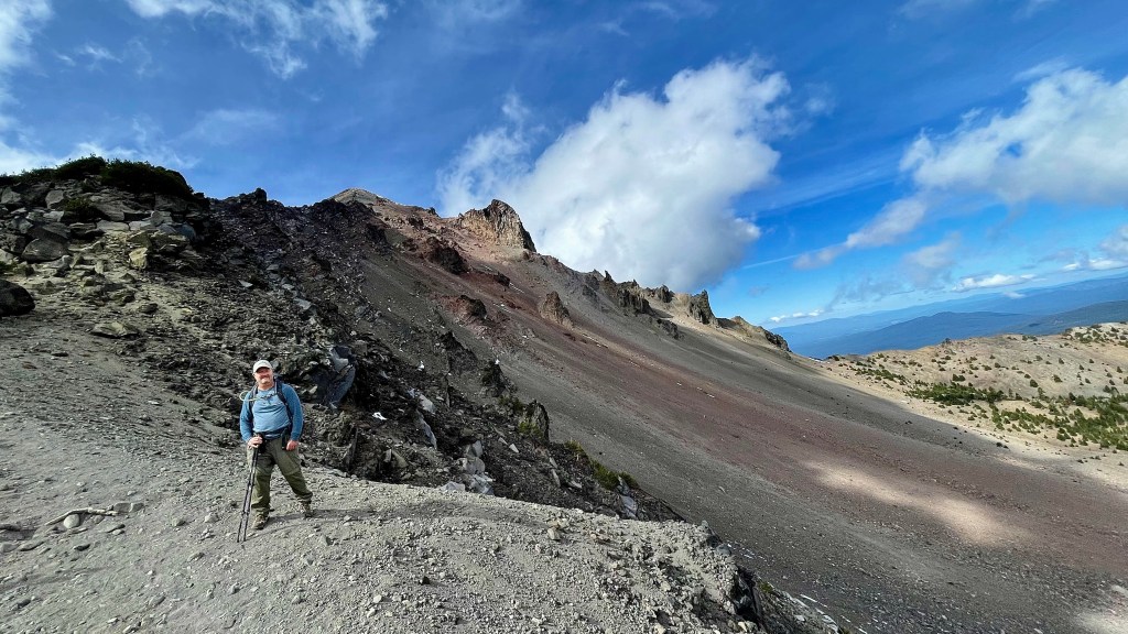
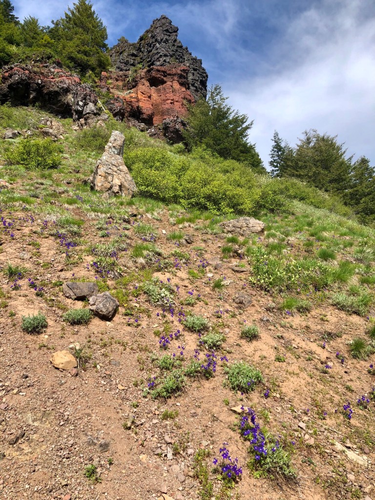
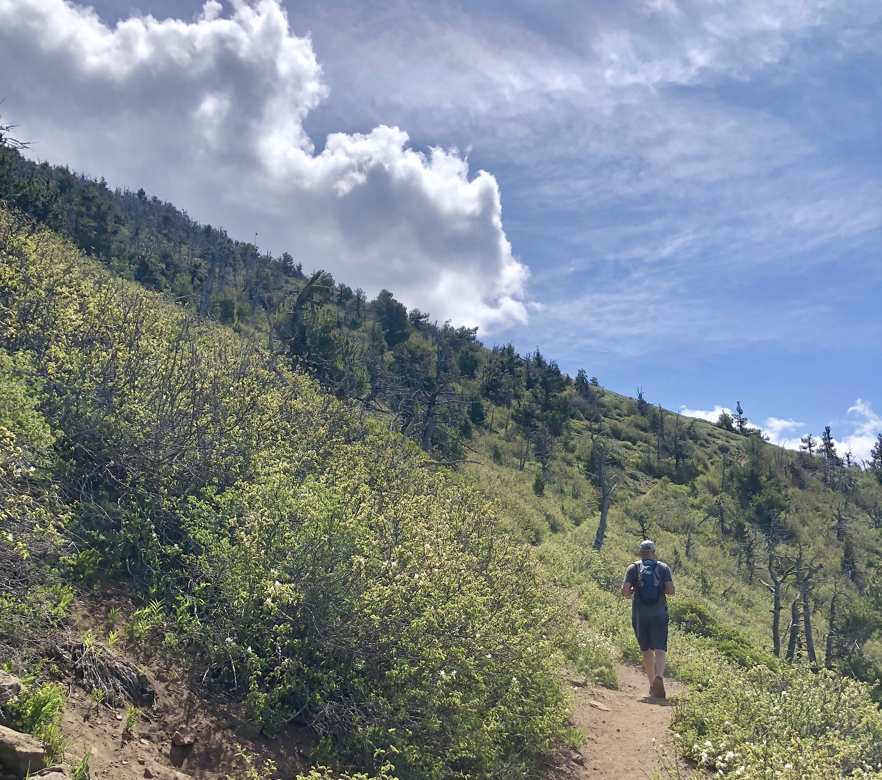
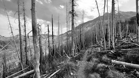
The alluring perfect forest ran out as we wrapped around the mountain. Back to the burn scar, ugh, but I did find some bushes filled with huckleberries and took a nice long break harvesting as many of the delicious tidbits for my breakfast snack as I could muster.
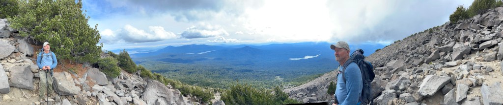
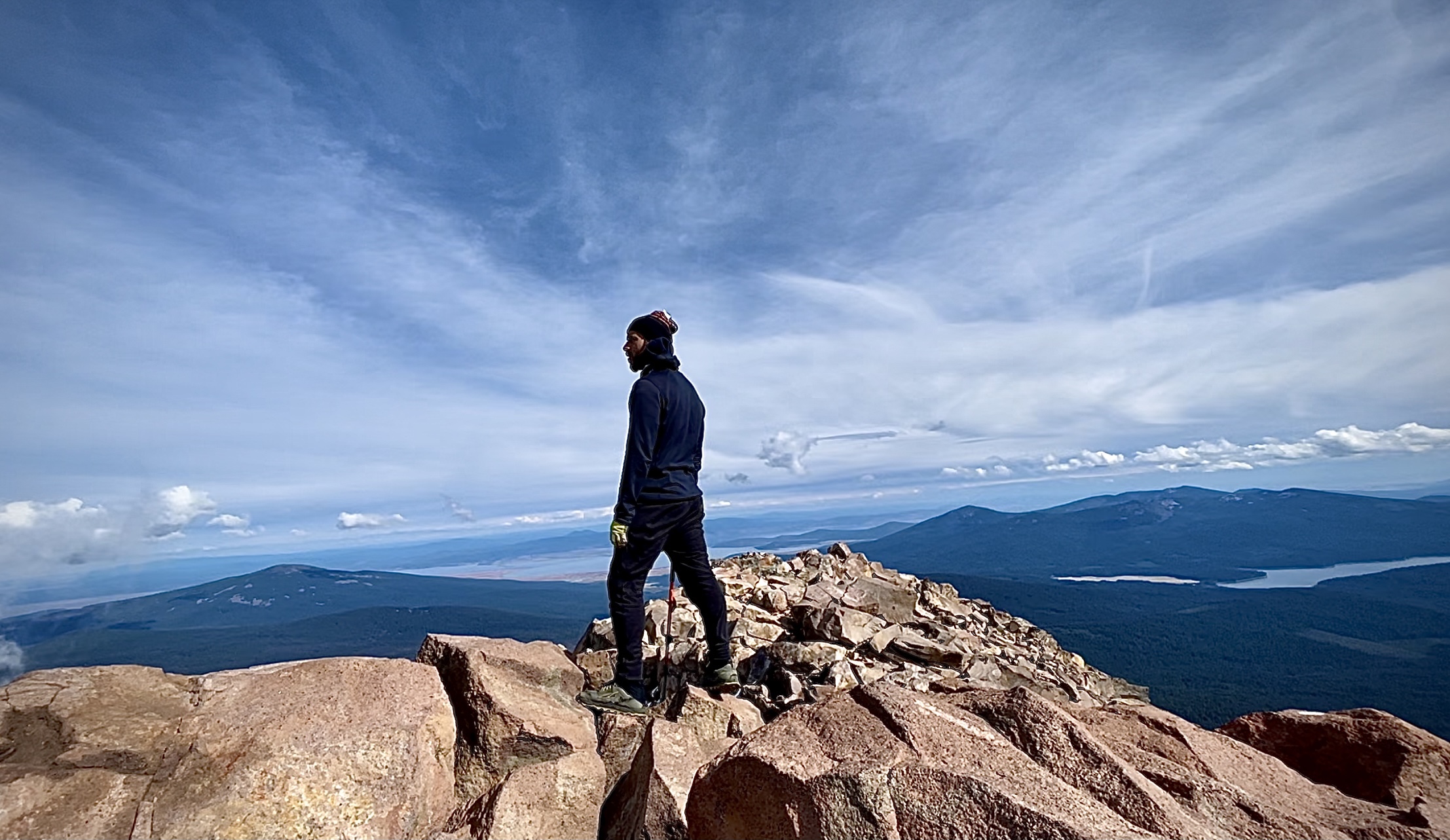
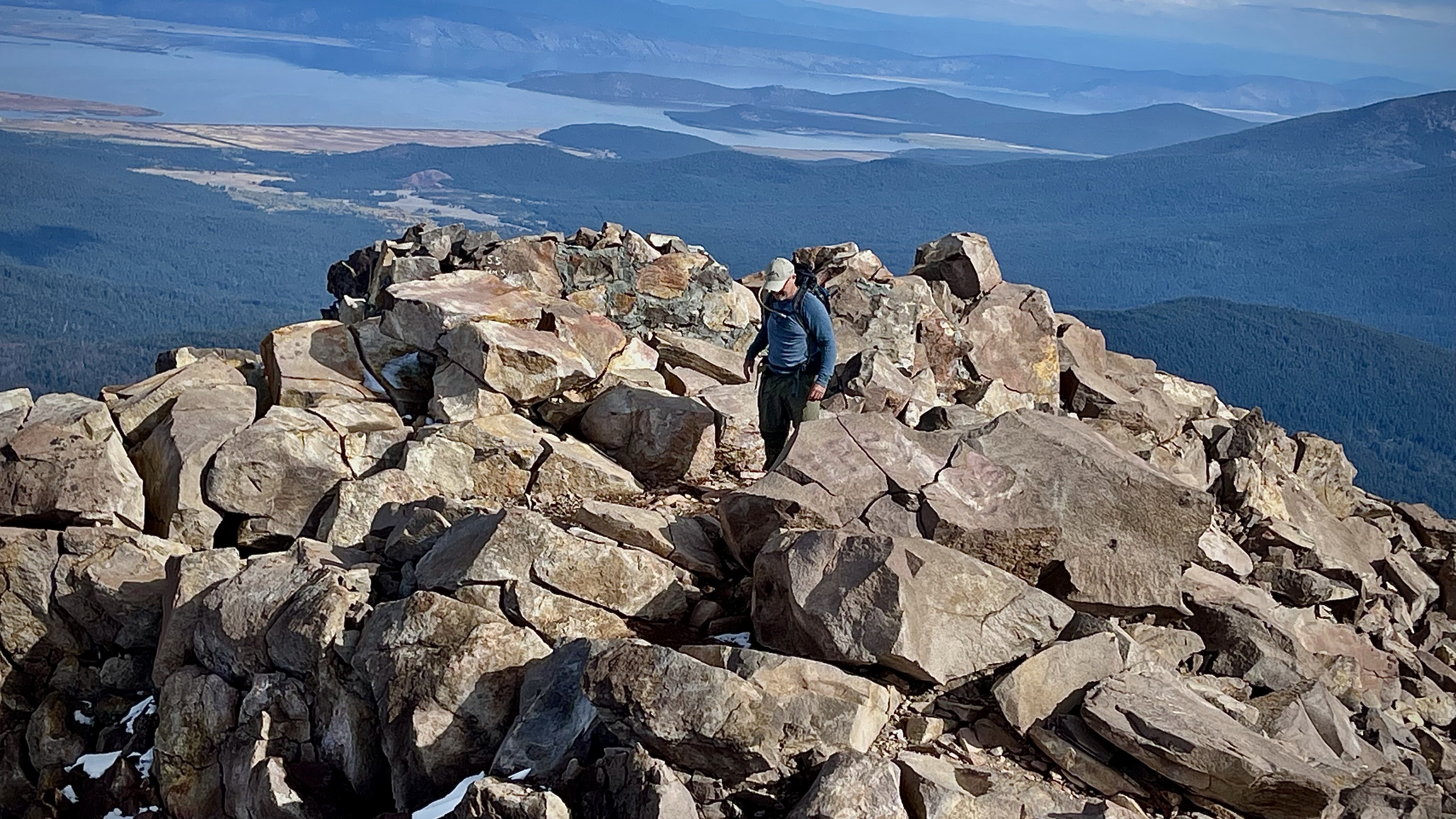
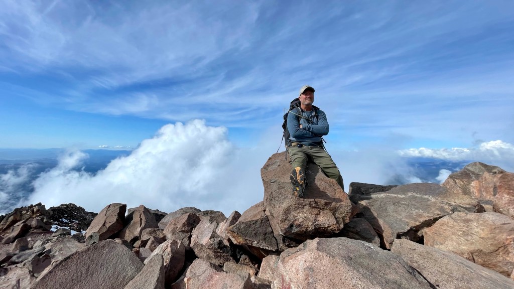
I was making pretty good time and was pleased that now on day 3 of hiking with a heavy pack, gaining elevation with each step, I had settled into a rhythm. It was not as taxing on me as I had dreaded, don’t get me wrong it was still taxing, but I was doing fine. The speedy expert trekker Anthony and not far behind him the youngster of our group, Katie, did not pass me until much later in the day.
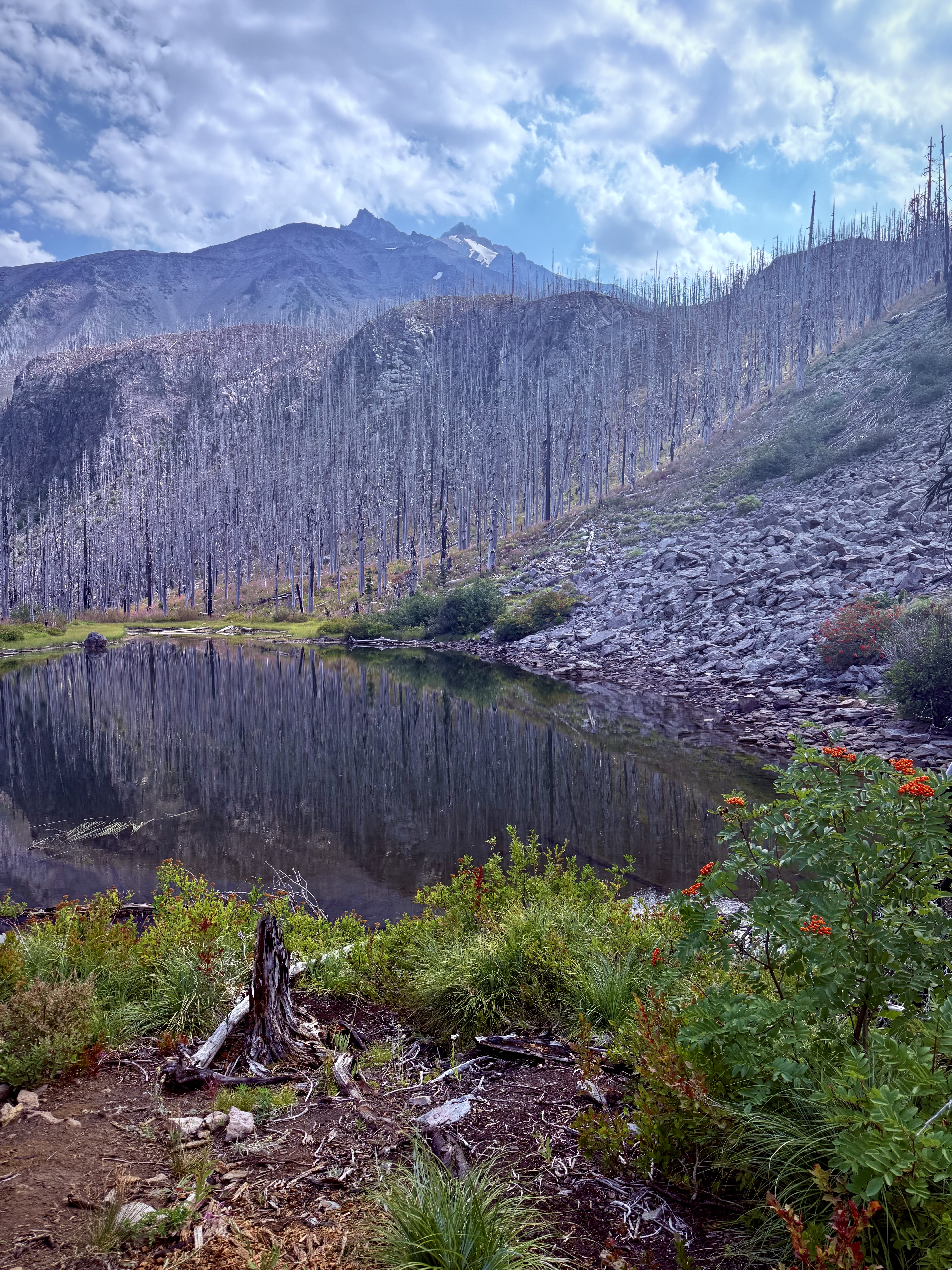
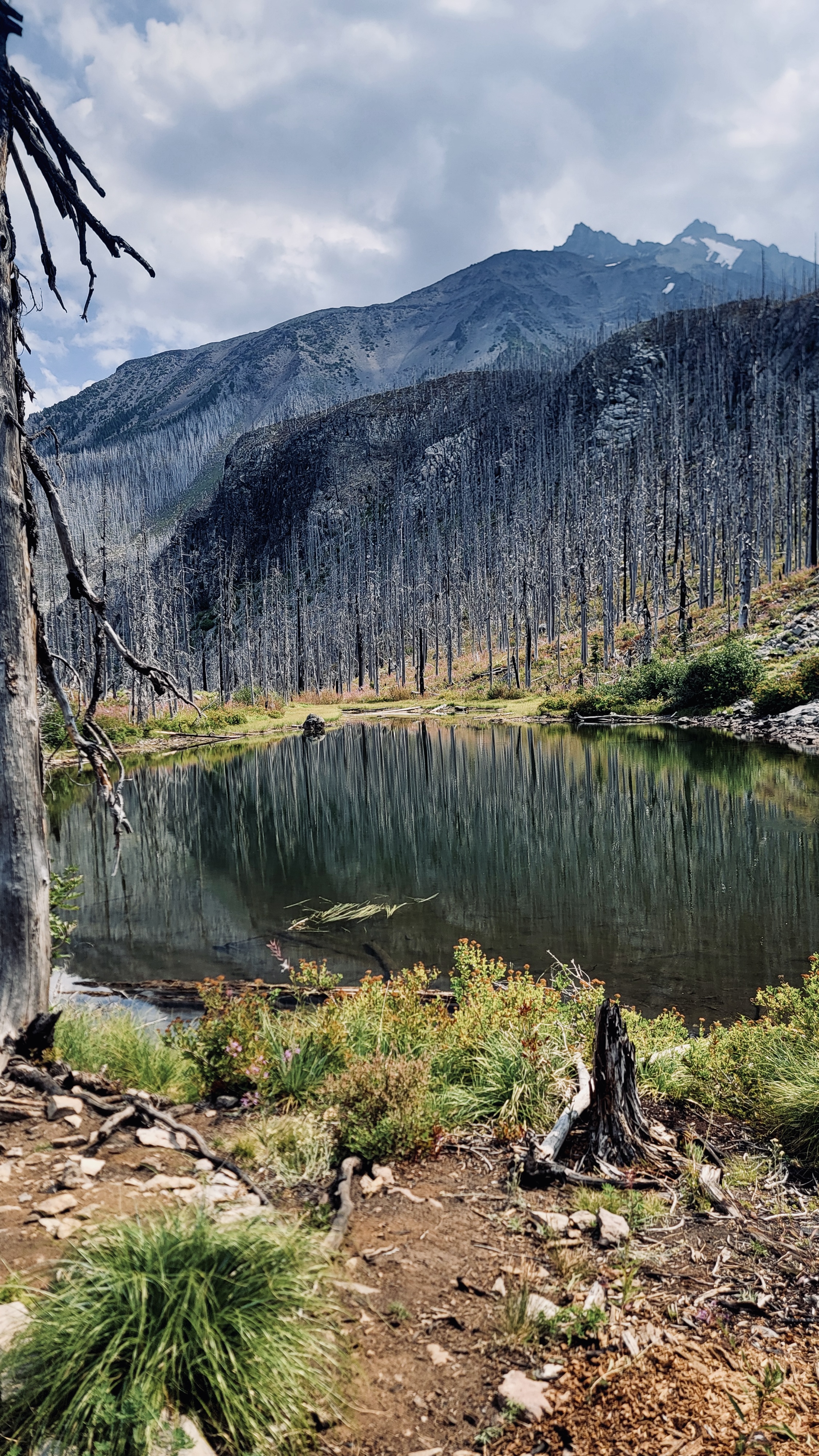
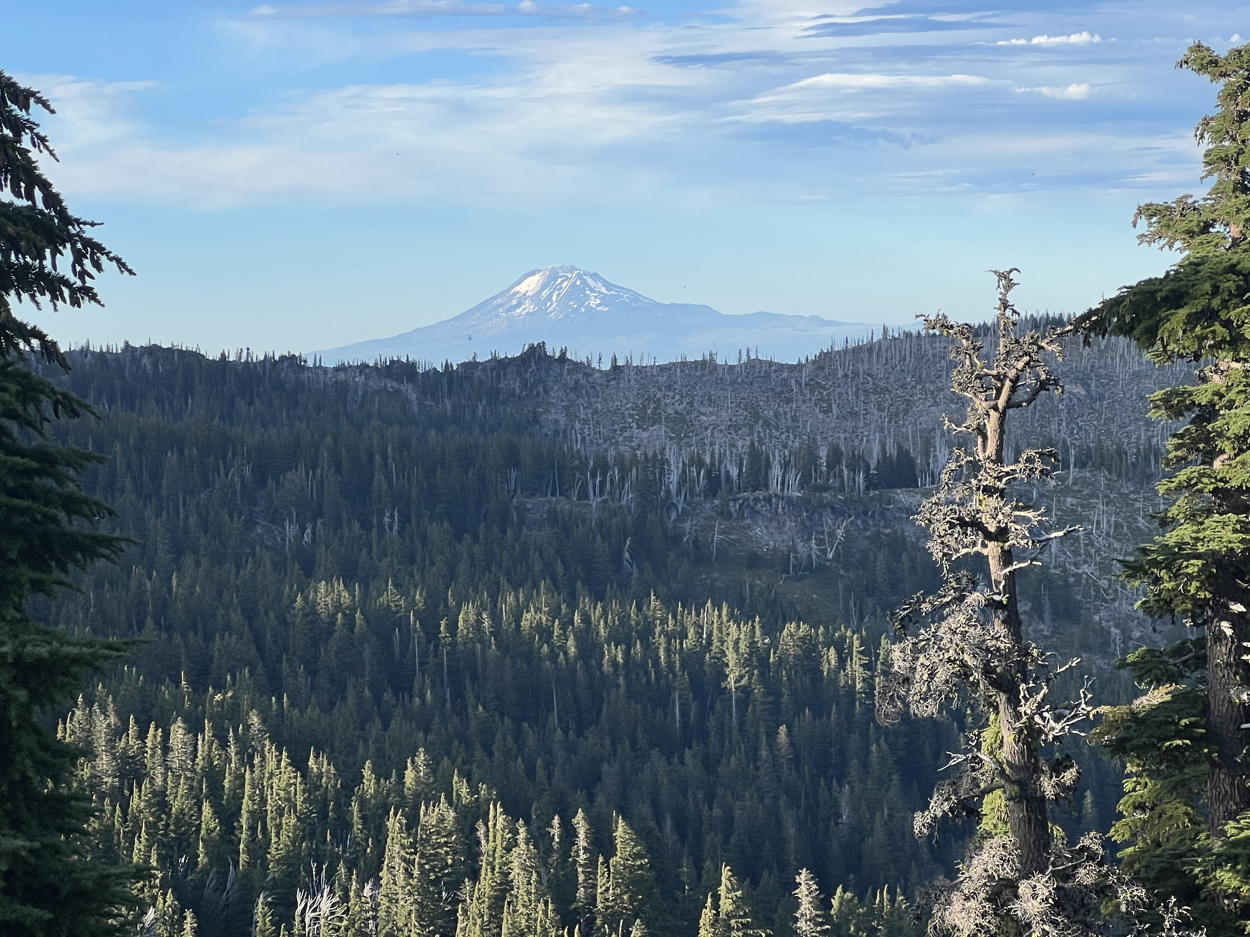
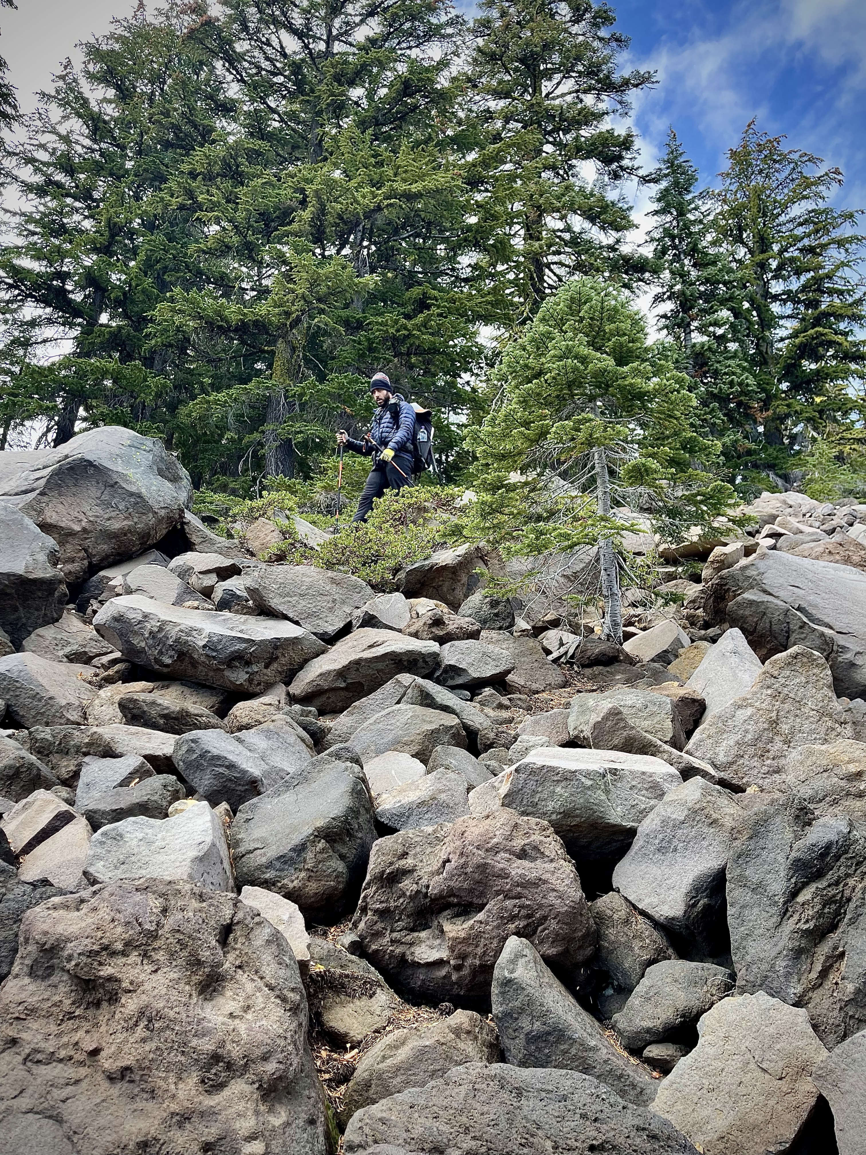
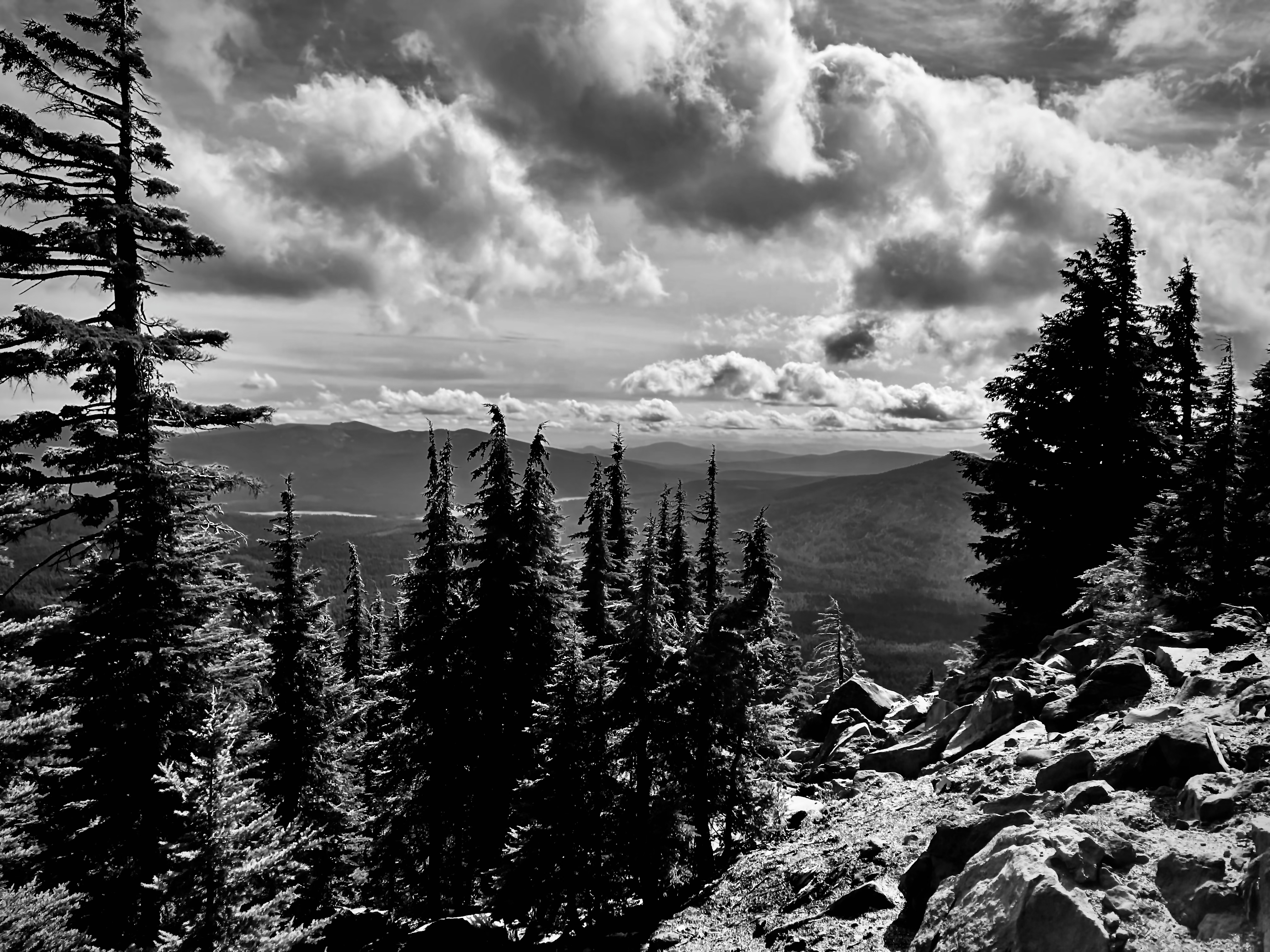
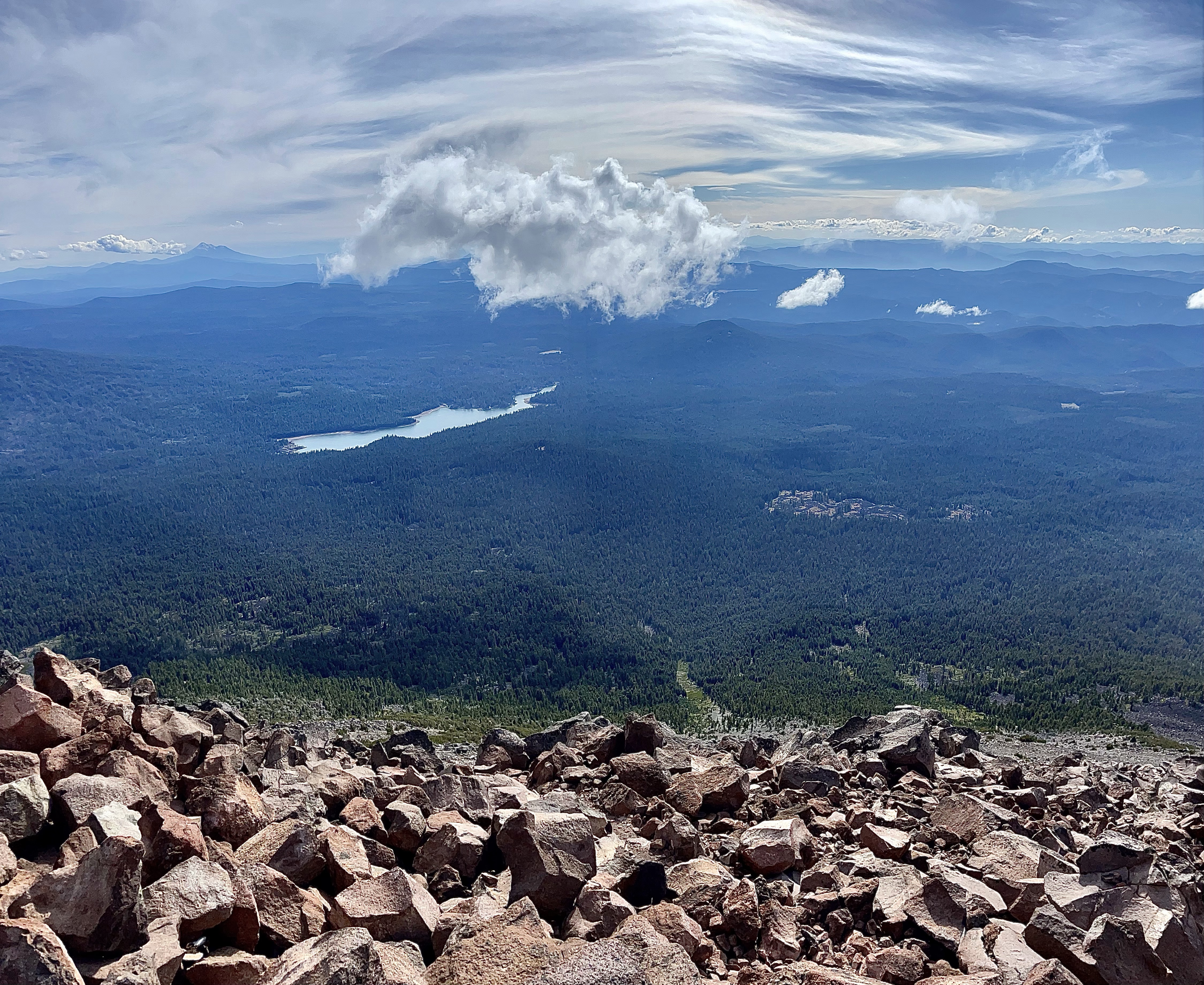
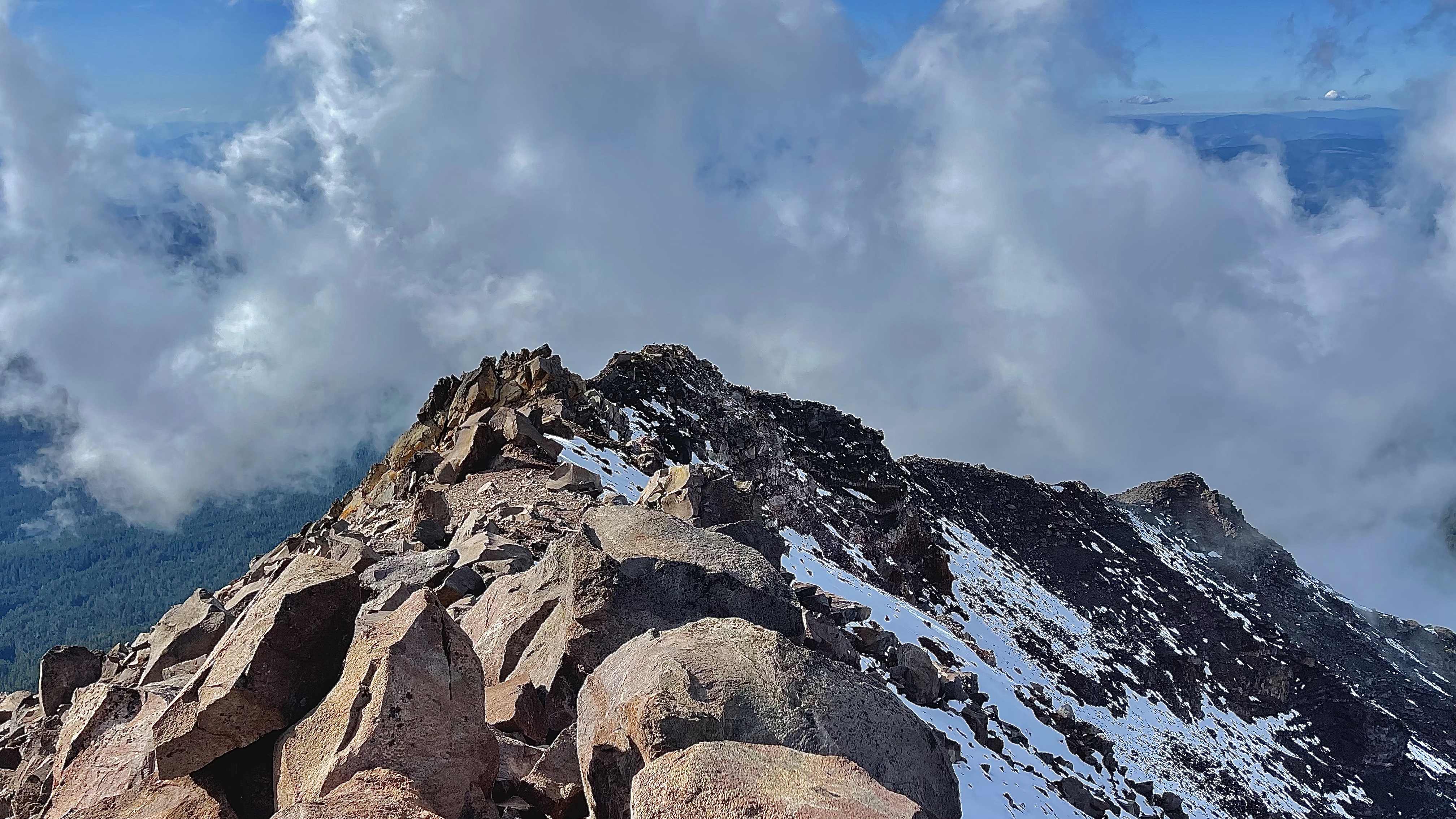
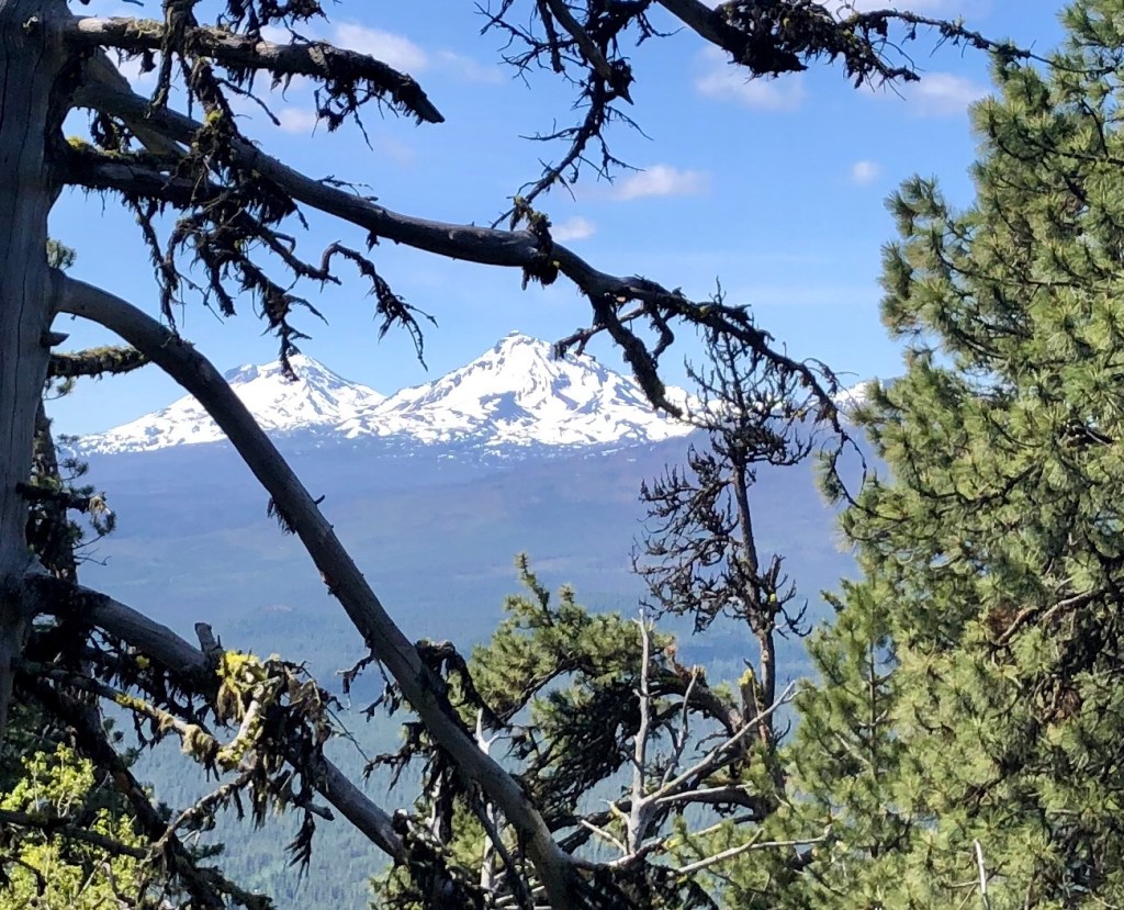
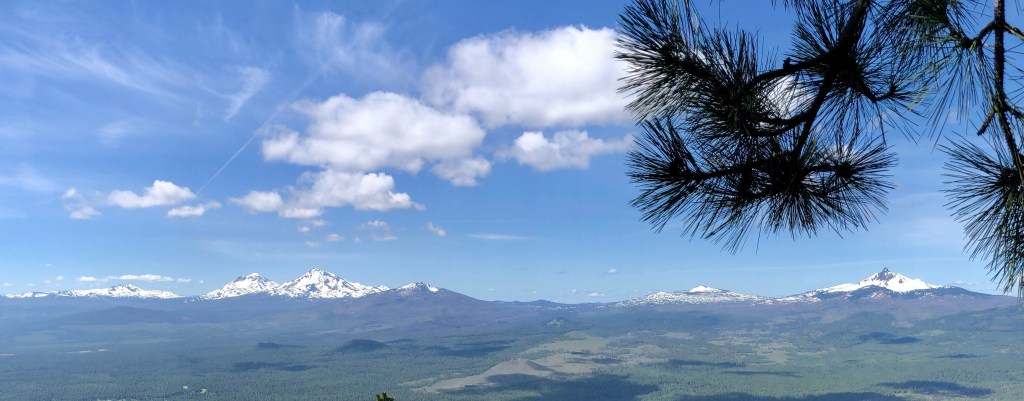
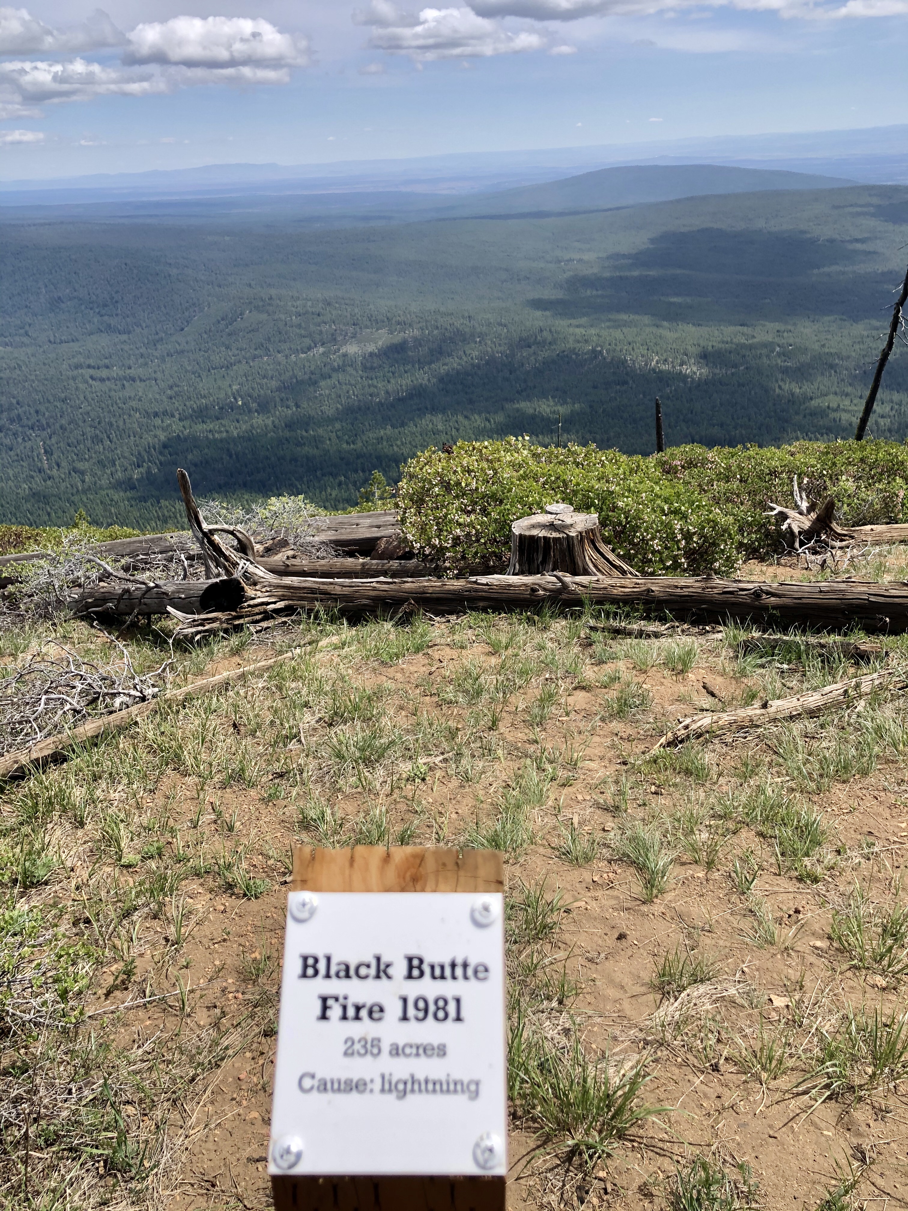
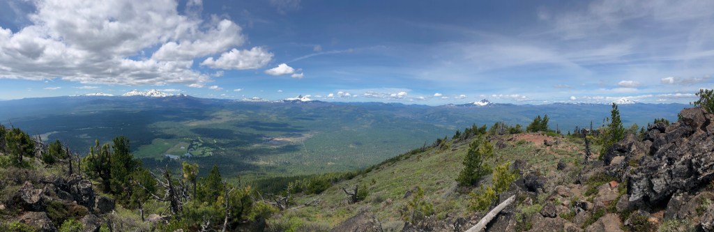
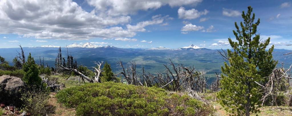
On and on through the devastation we trekked as far as I could see, and I could see pretty far. There was burnt timber everywhere and add to that I could see smoke from the active fire in the Sisters, Oregon area blowing up the valley and hoped that would not choke us out. I pondered about our safety and how that fire fight was going since we were more or less out of touch with the rest of the world. All of the timber that surrounded us had already burned once I imagine it wouldn’t burn again, but then again it’s a lot of wood, right?
I marched uphill through the wildfire devastation late into the afternoon and I was starting to wonder where was Peggy and Dale? They certainly should have passed me by now. I caught up to Anthony and Katie who were taking a snack break and voiced my concern and Anthony always positive said, “I am sure they are fine”. As the time passed I grew more and more worried. I happened to find a point with a little cell service and contacted their son Nick, who was their safety contact.
The year before Peggy and Dale followed my footsteps of an epic adventure I had previously and that was the Timberline Trail. Dale the senior of our group, an avid outdoorsman, had struggled on the last days of that backpacking event. This had not happened to him before so it was a surprise. It put them in a dangerous position as they were a day or two overdue and ran through their provisions with no contact via satellite device. Finally as their Safety Group, Nick and I pushed the panic button and contacted Search and Rescue. Luckily Dale and Peggy were able to self rescue. Search and Rescue contacted them just as they arrived back at their camper and recharged their batteries enough to function. Dale had suffered from extreme exhaustion, but they made it out. So obviously there was good measure for my concern.
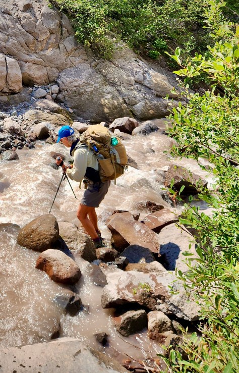
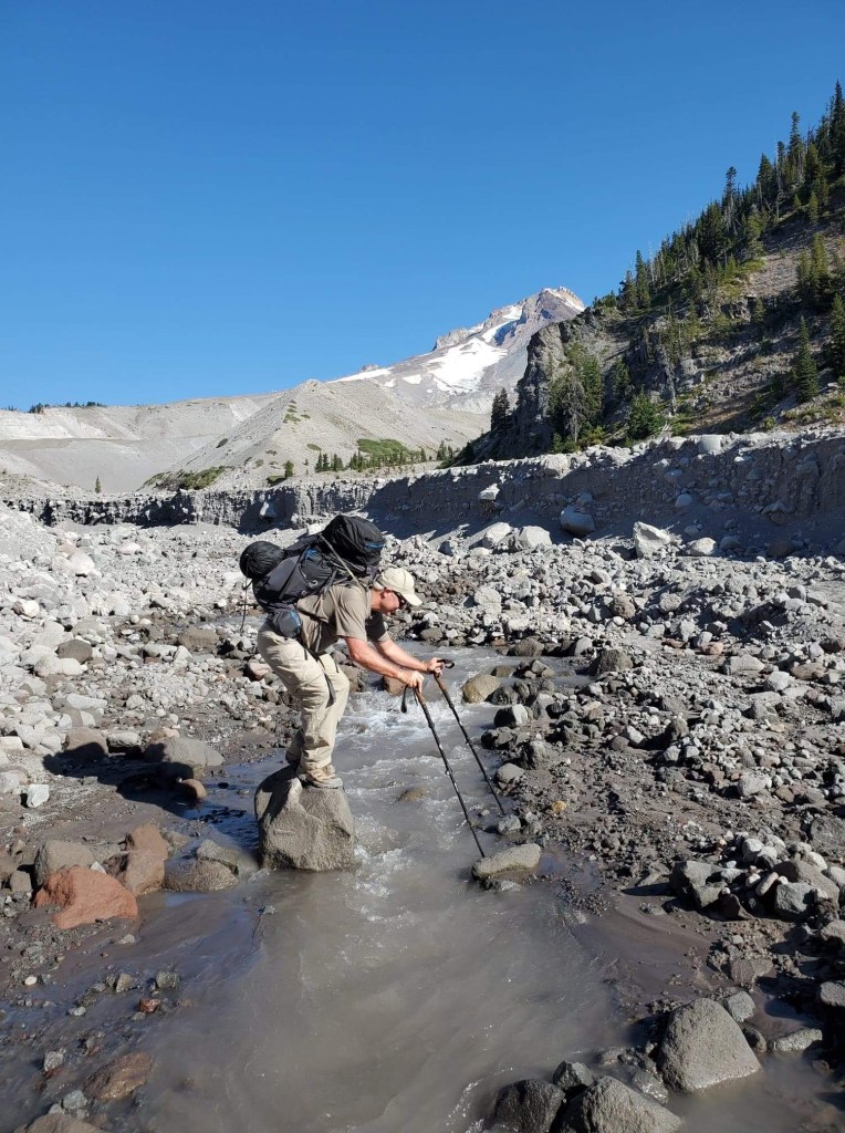
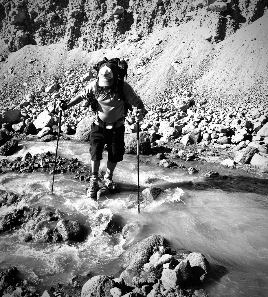
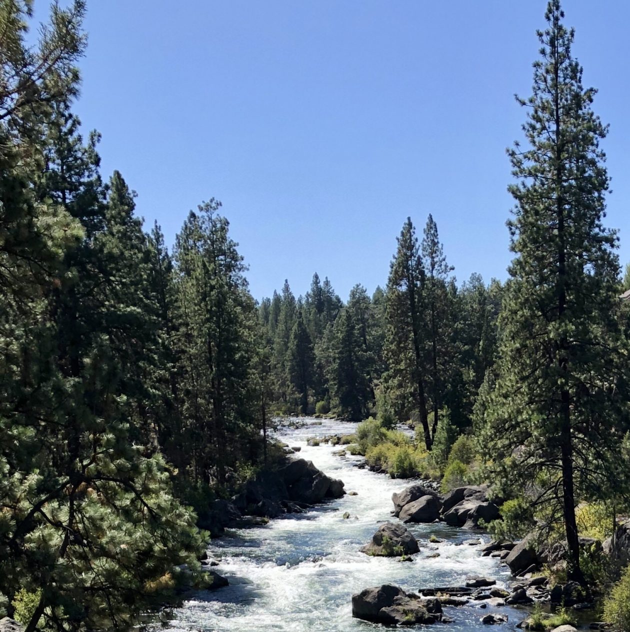
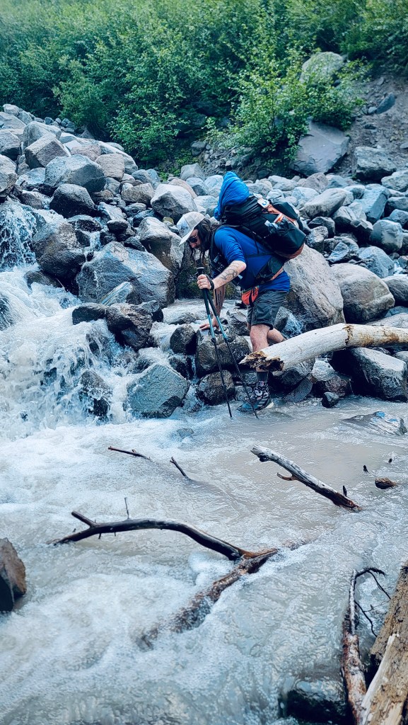
It was time to cross the tricky fast moving stream, but this time no one was around in case anything went wrong. I crossed the same spot I had the day before. It was probably the most difficult, but it kept me high and dry while the others painstakingly crossed in the water rather than above it. Easy does it… one foot after the other… watch your balance with the heavy pack… try not to make the thin log move… good made it to the halfway spot of a boulder in midstream… transition to the next wobbly log from which a fall would be rather dreadful. All good! Now up the embankment and onward.
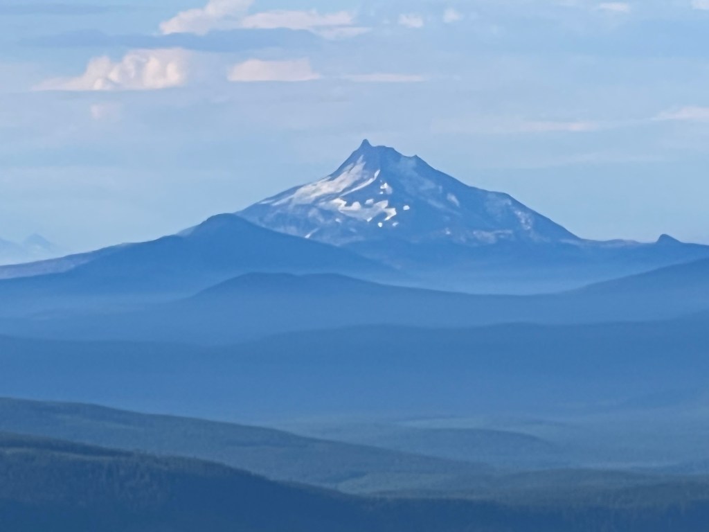
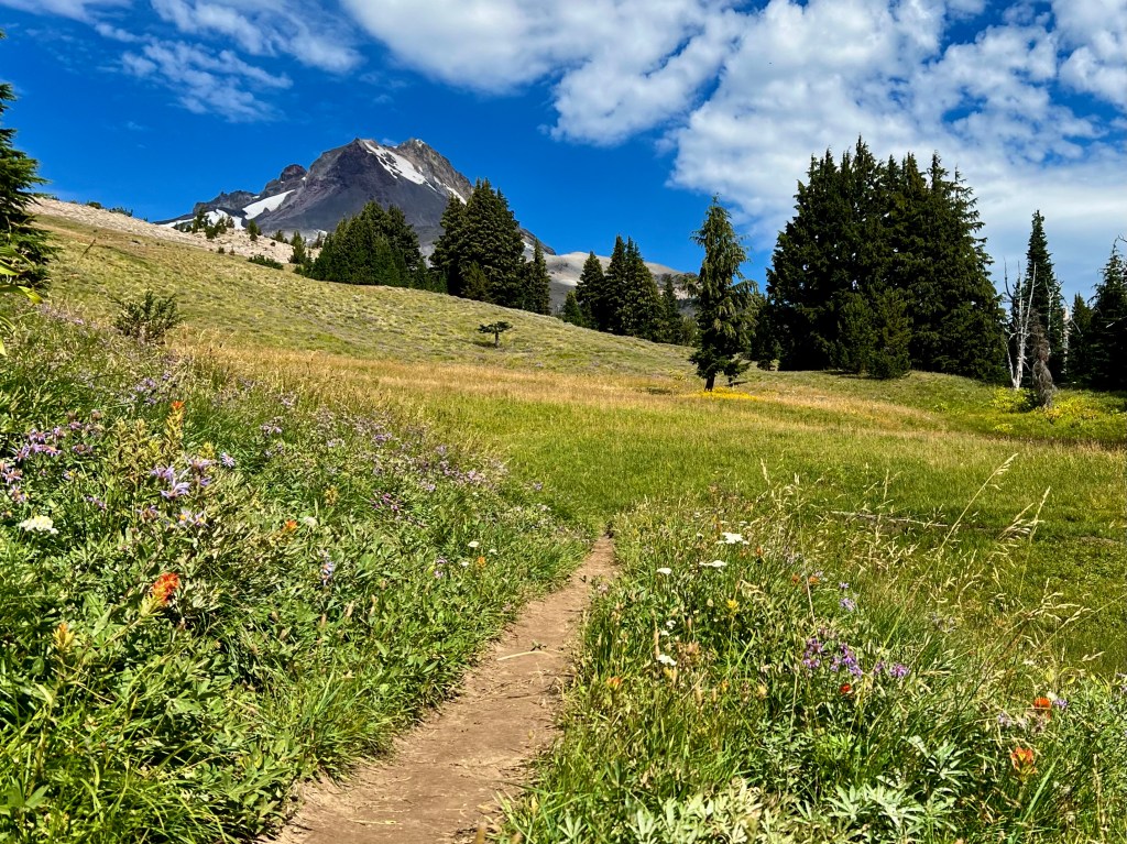
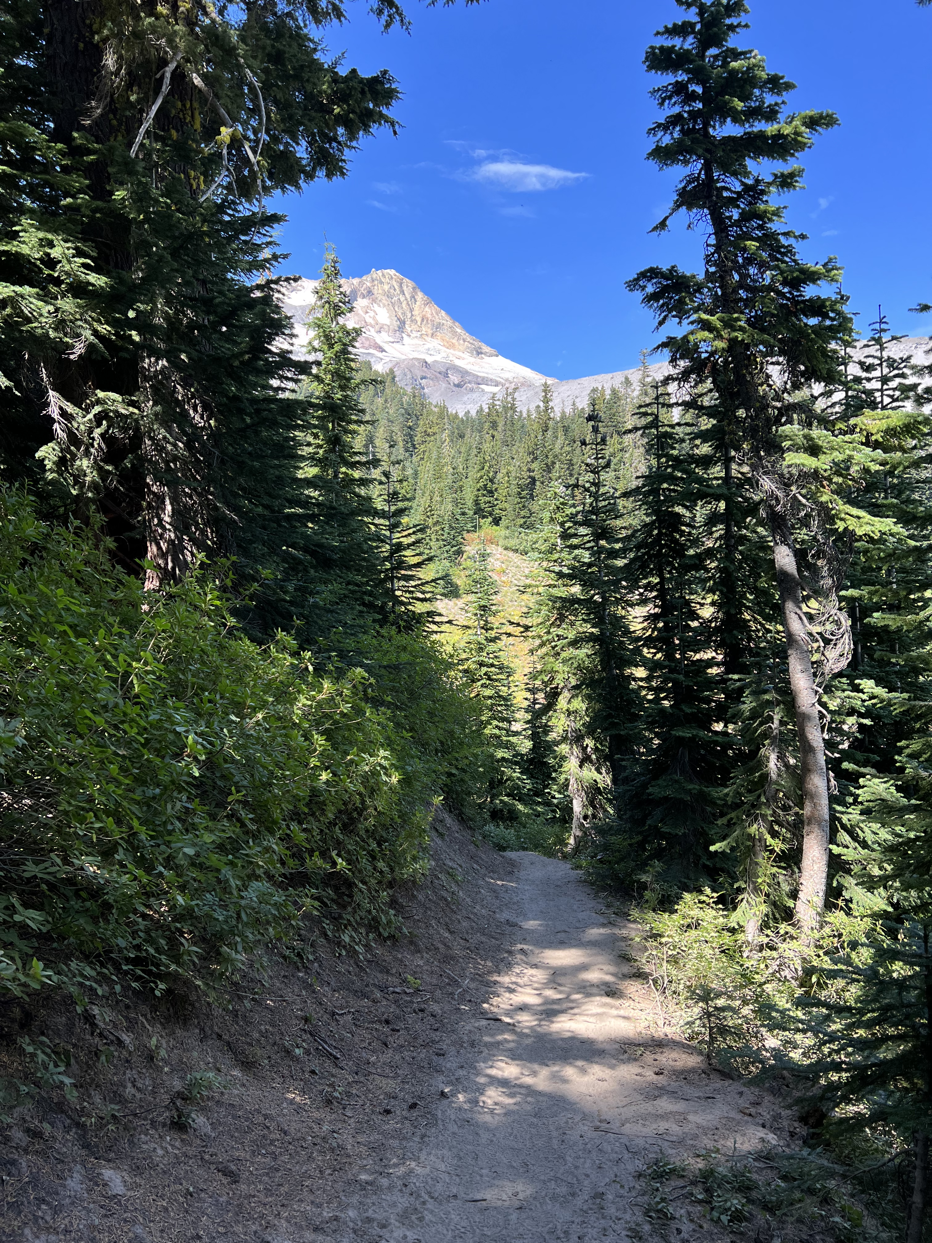
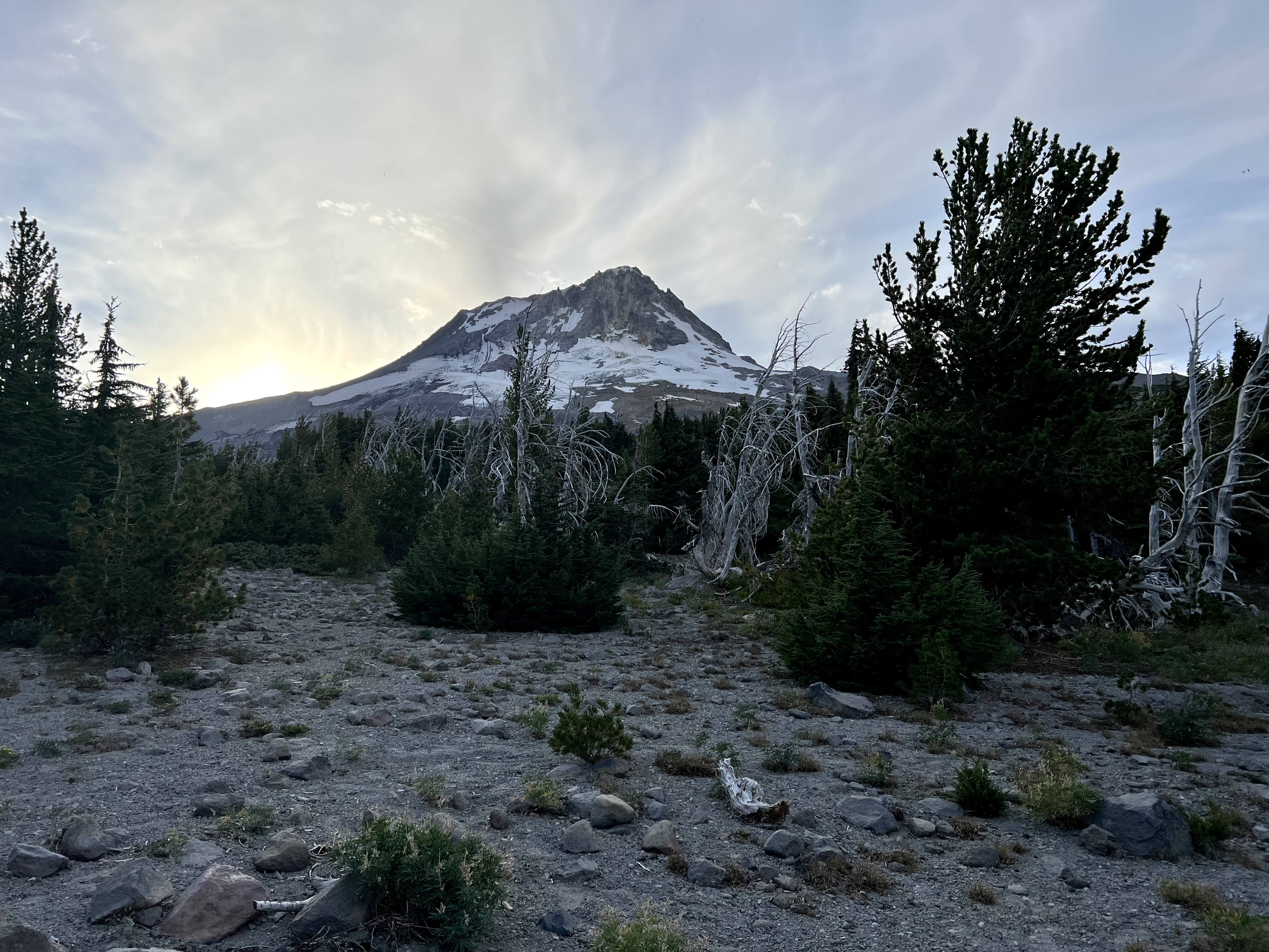
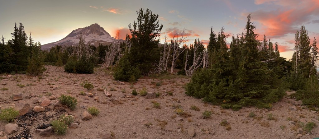
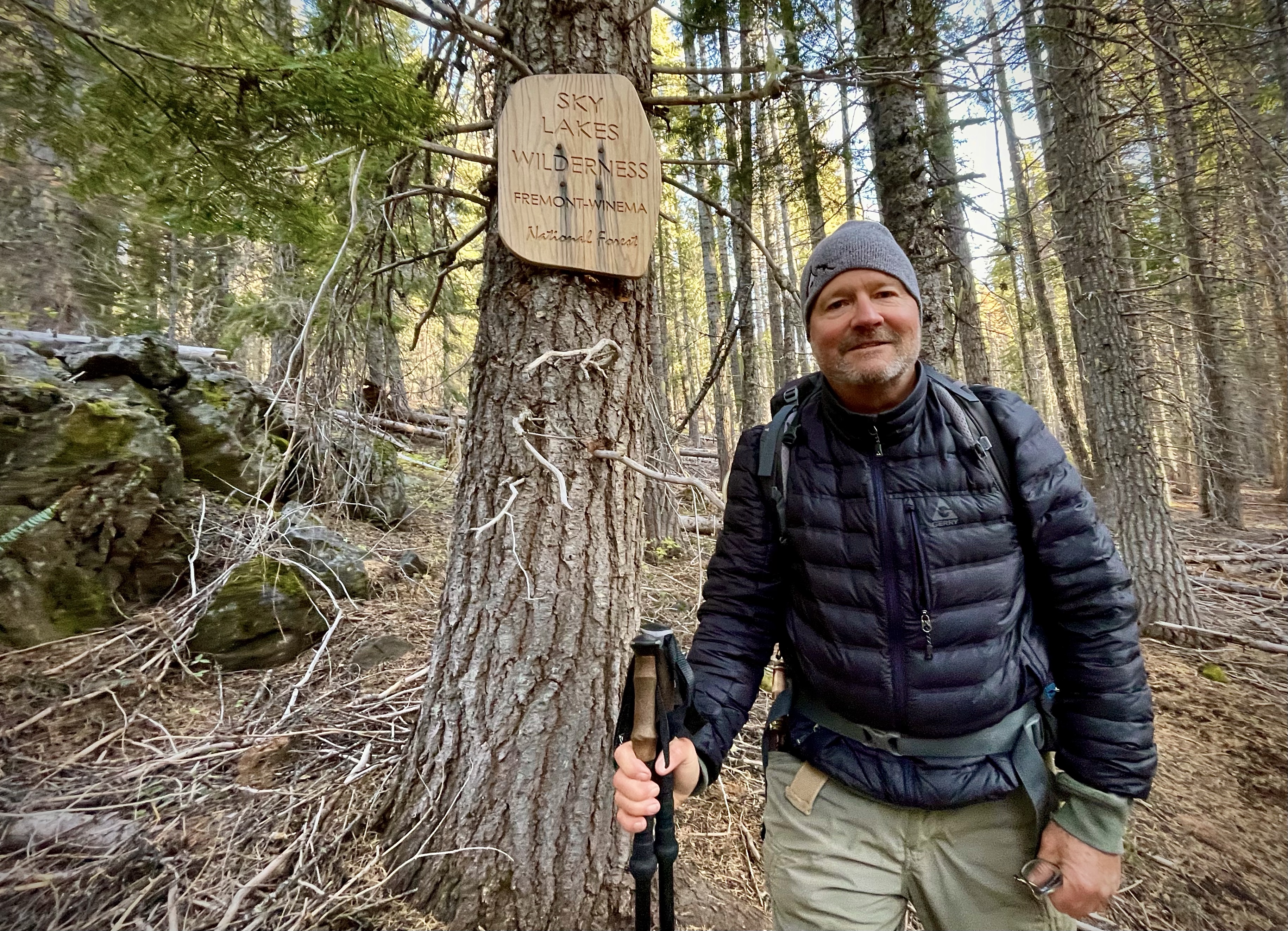
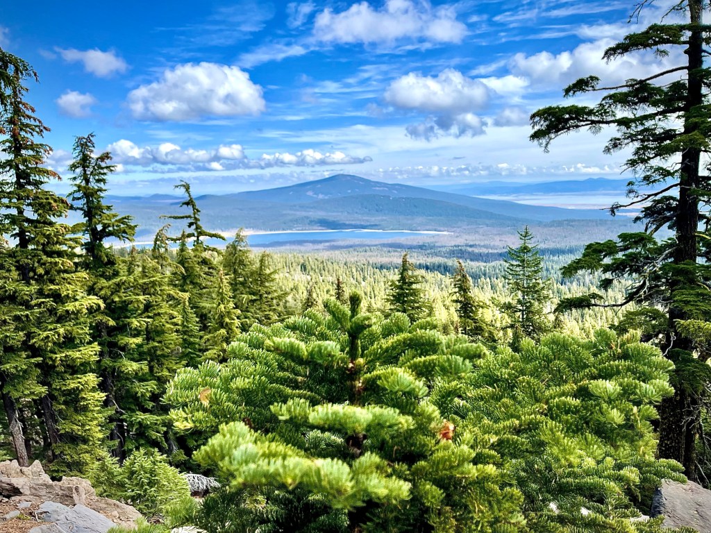
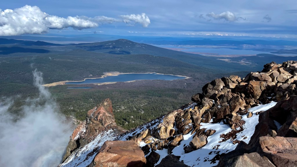
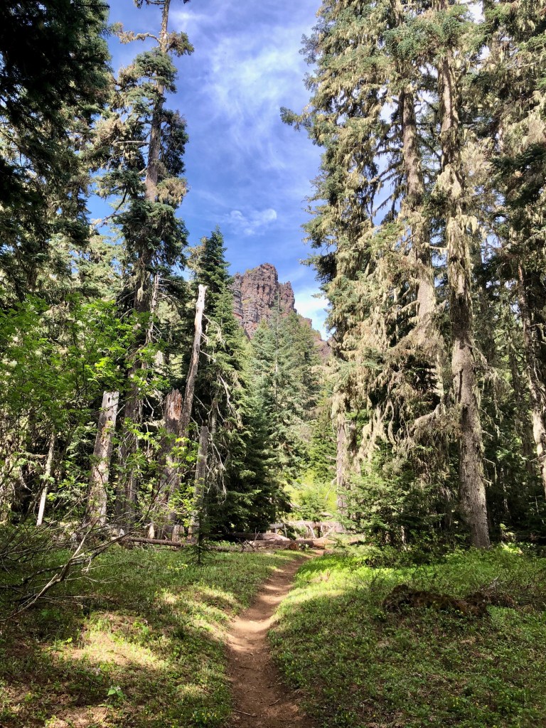
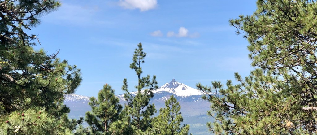
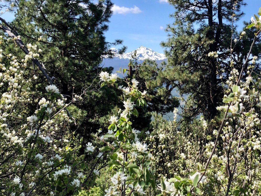
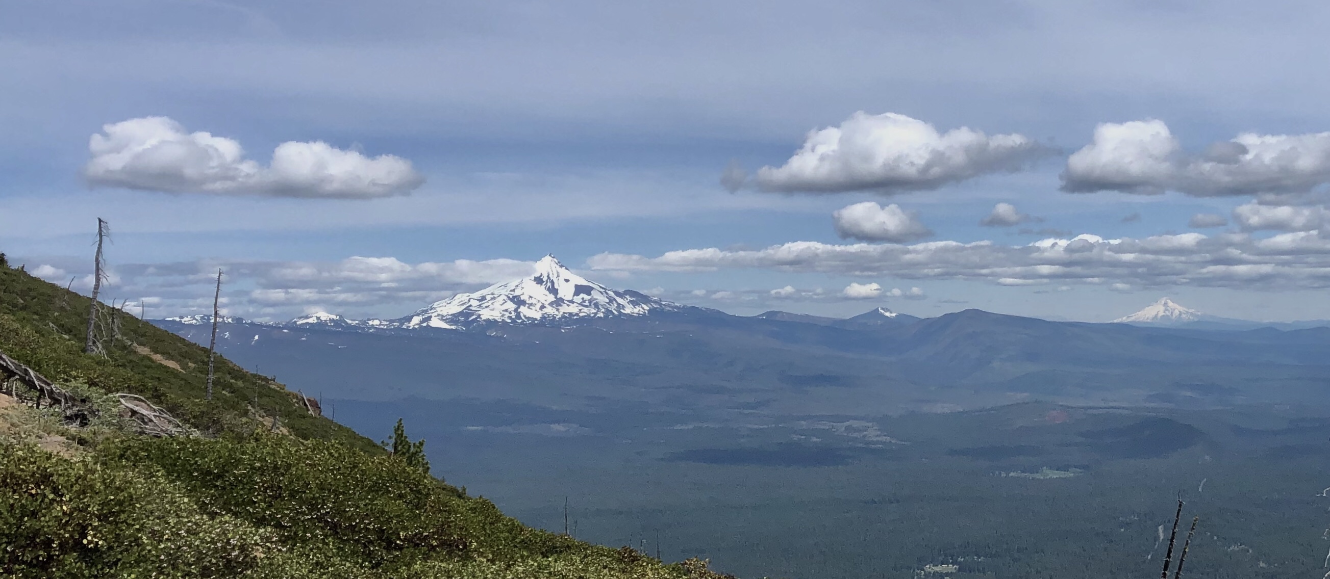
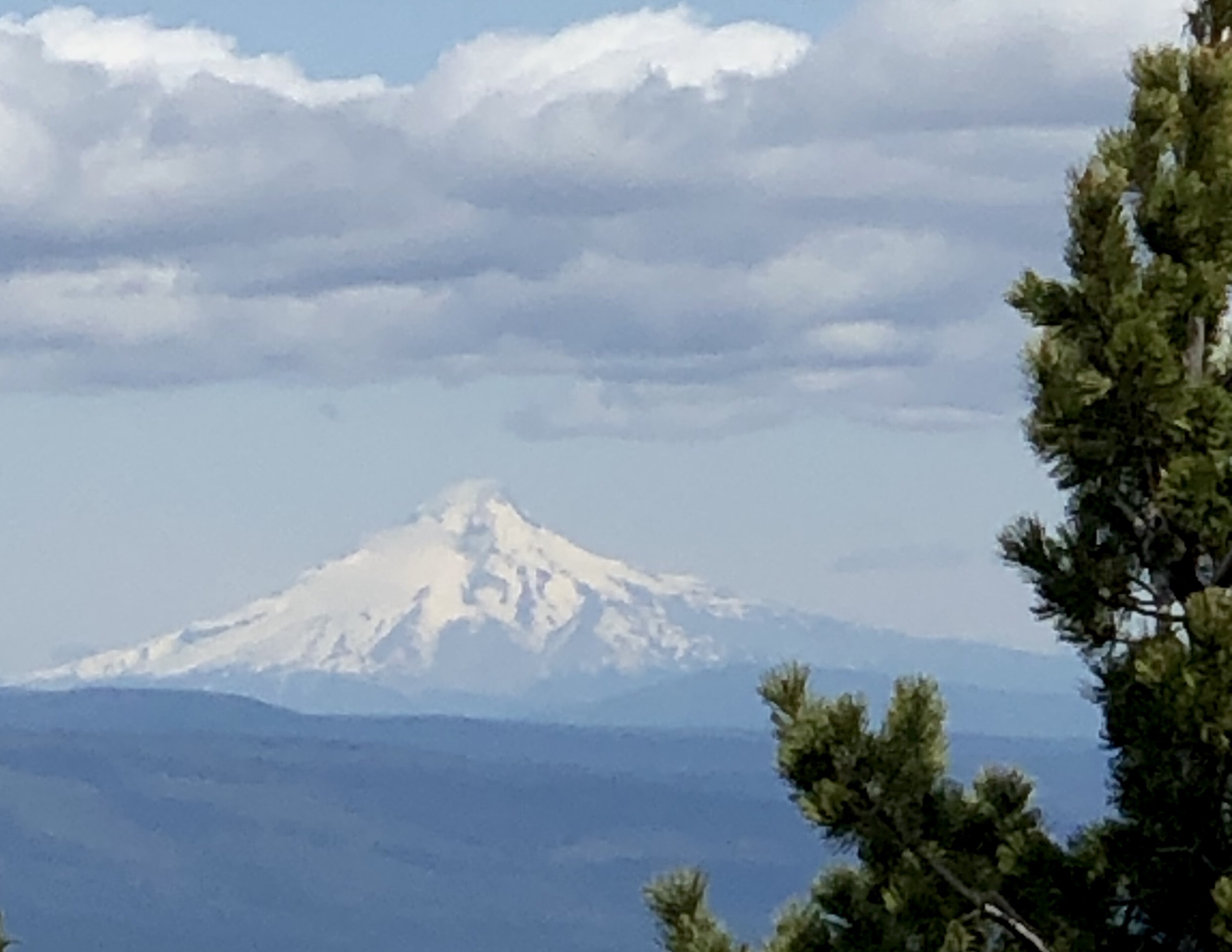
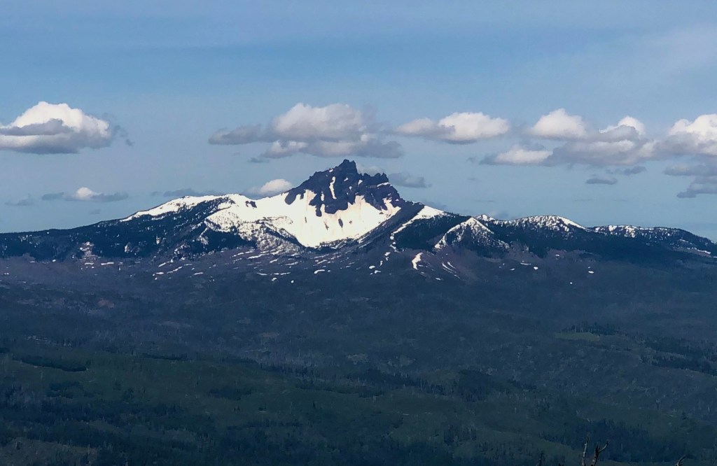
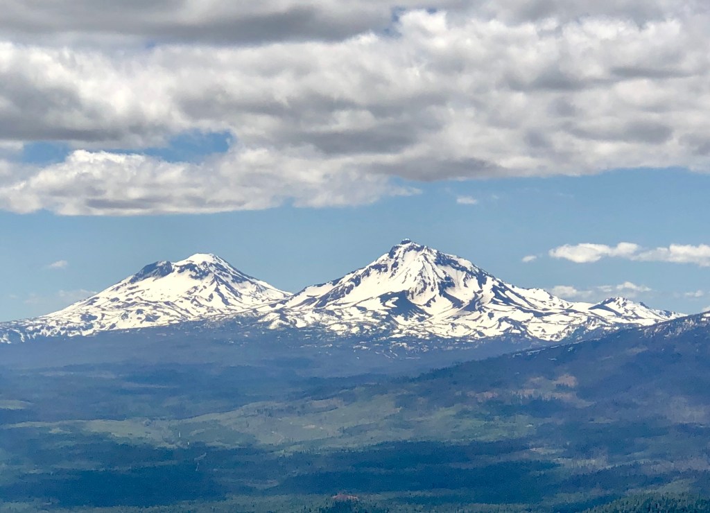
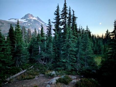
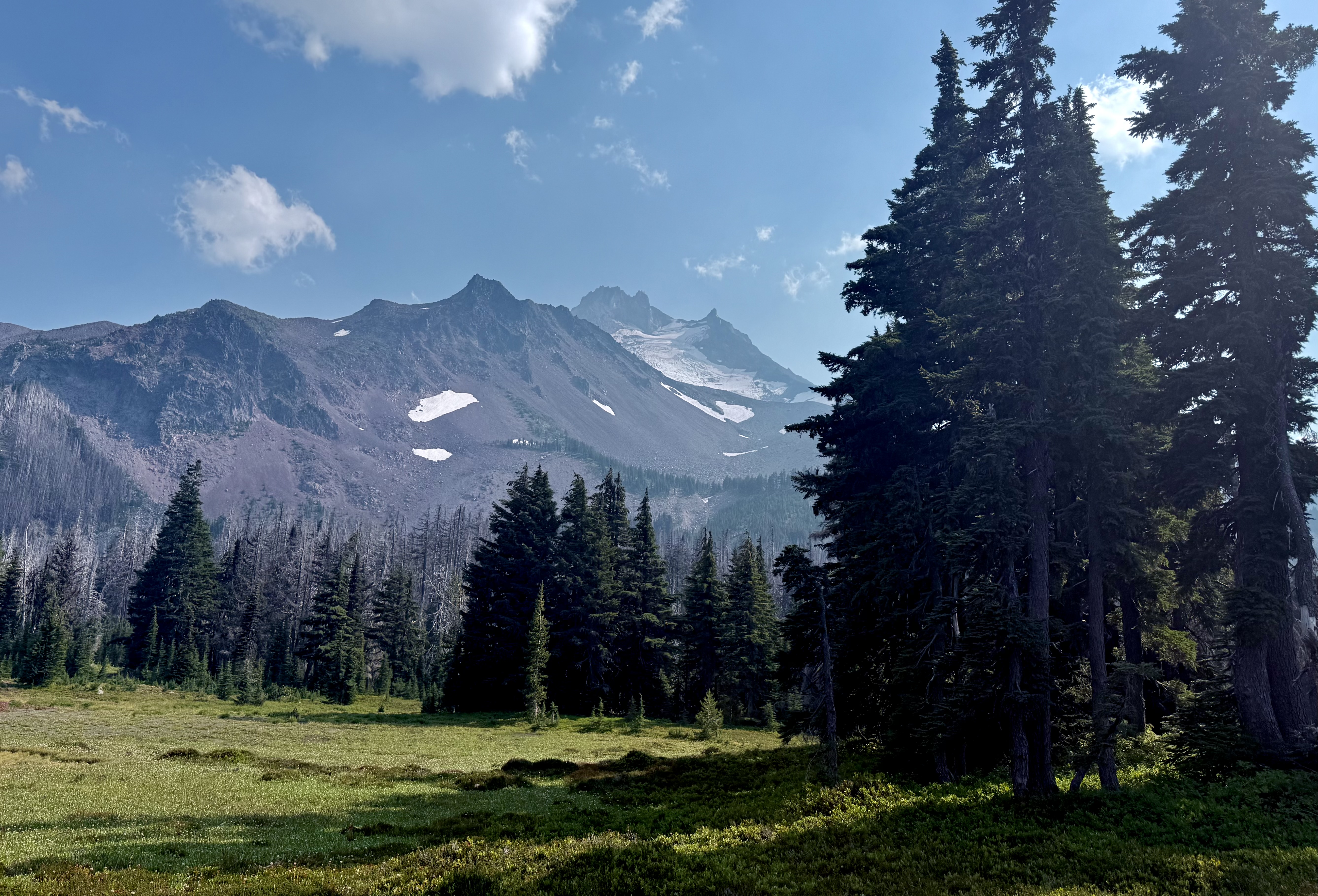
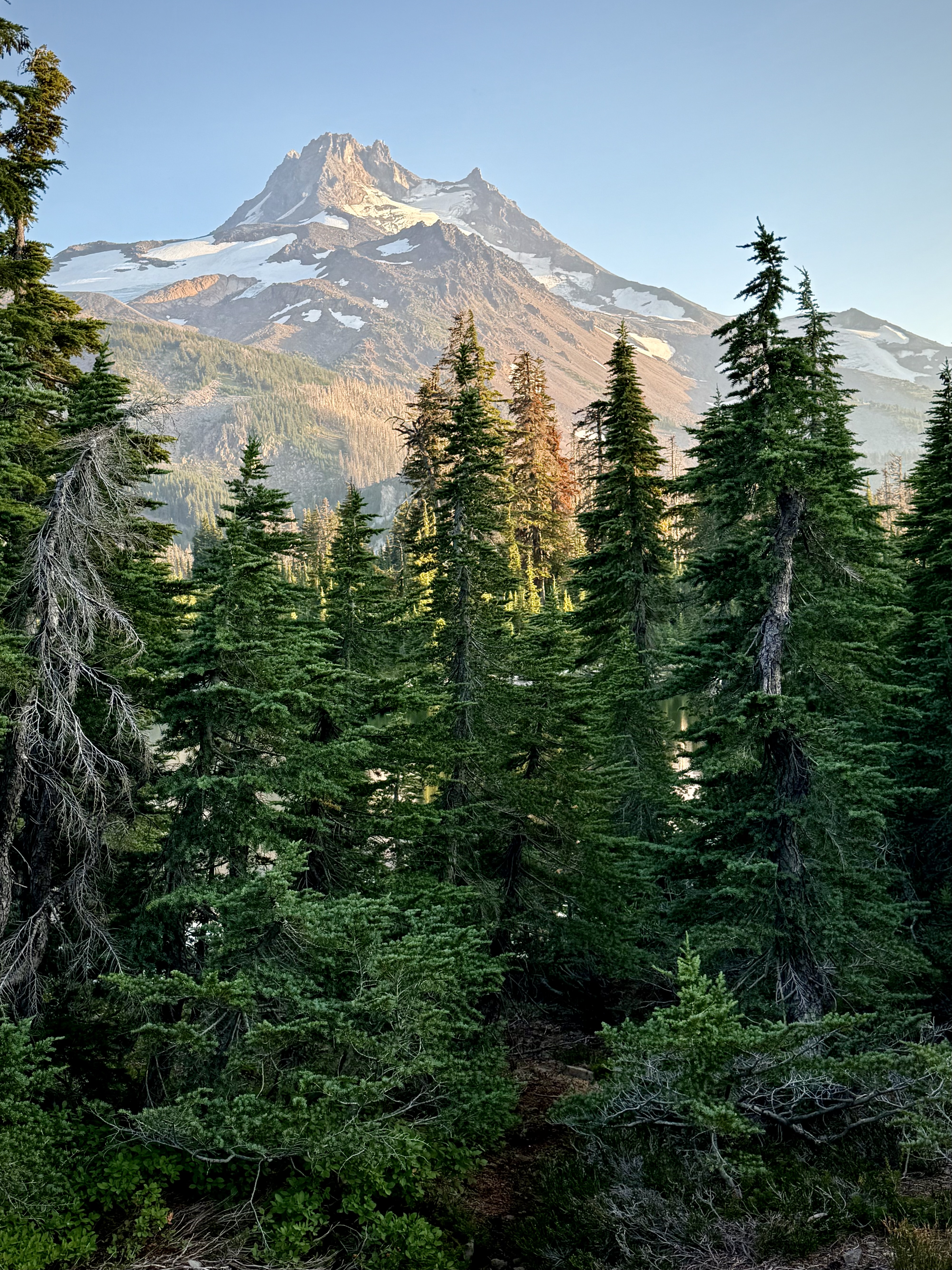
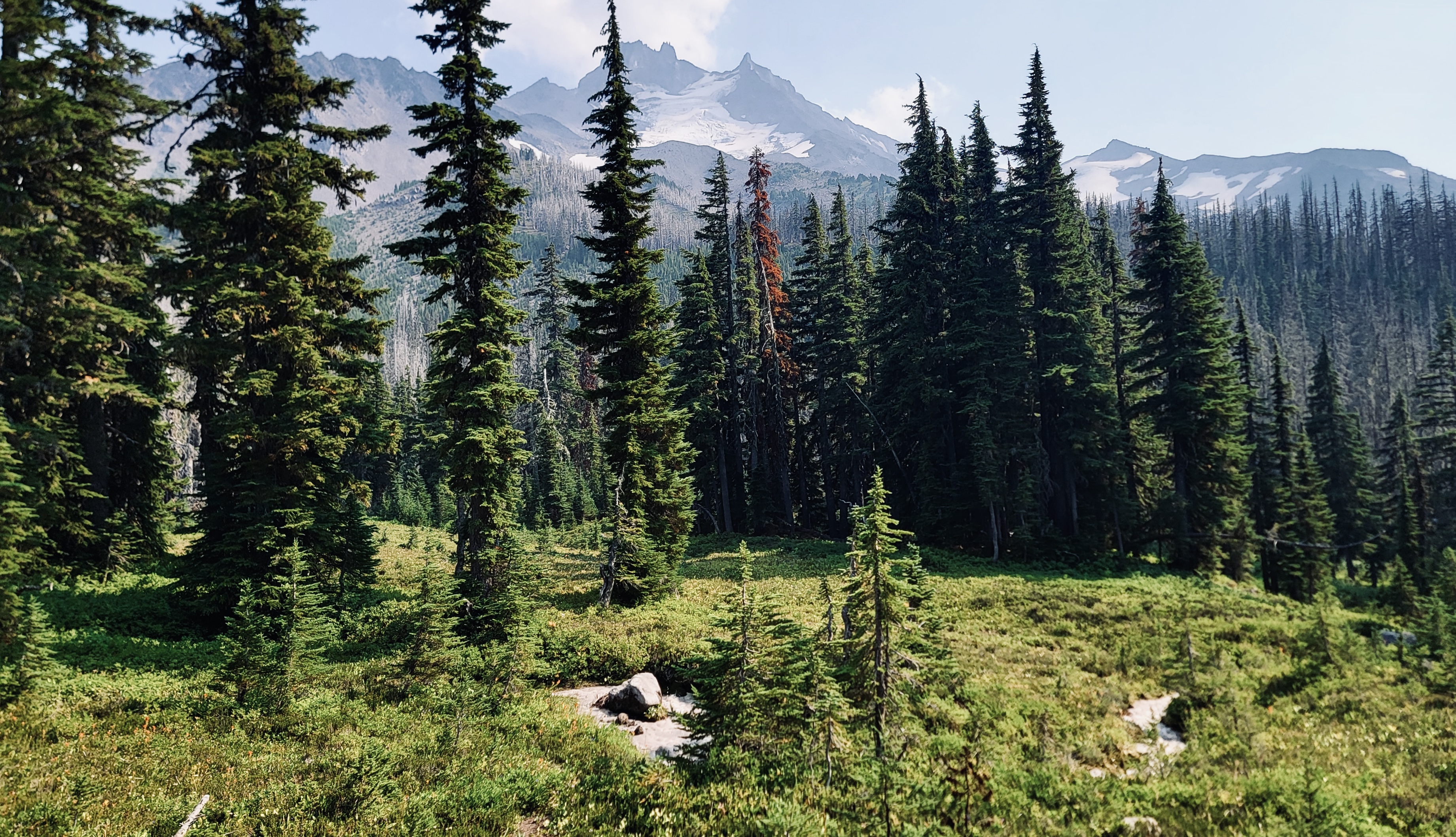
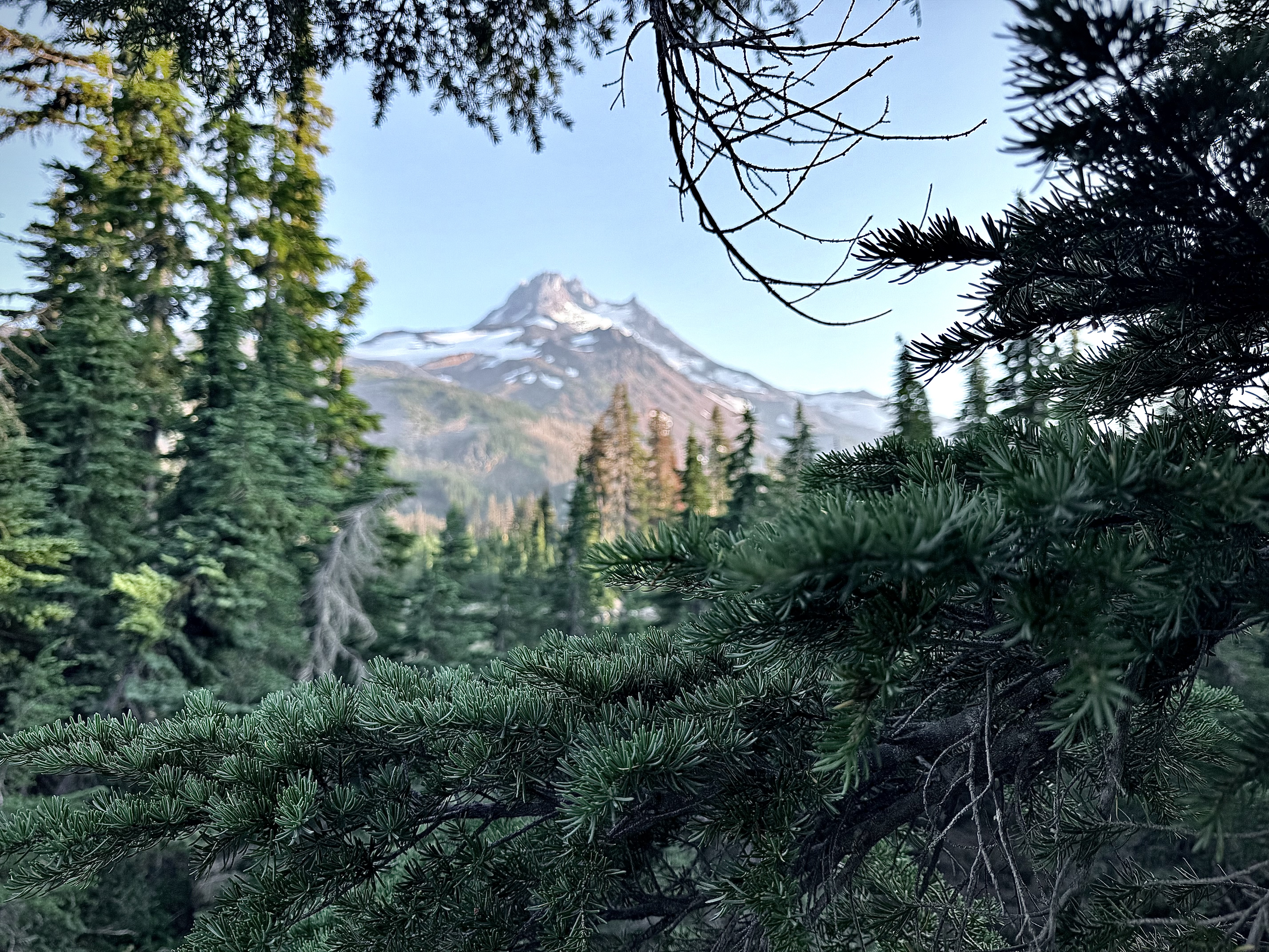
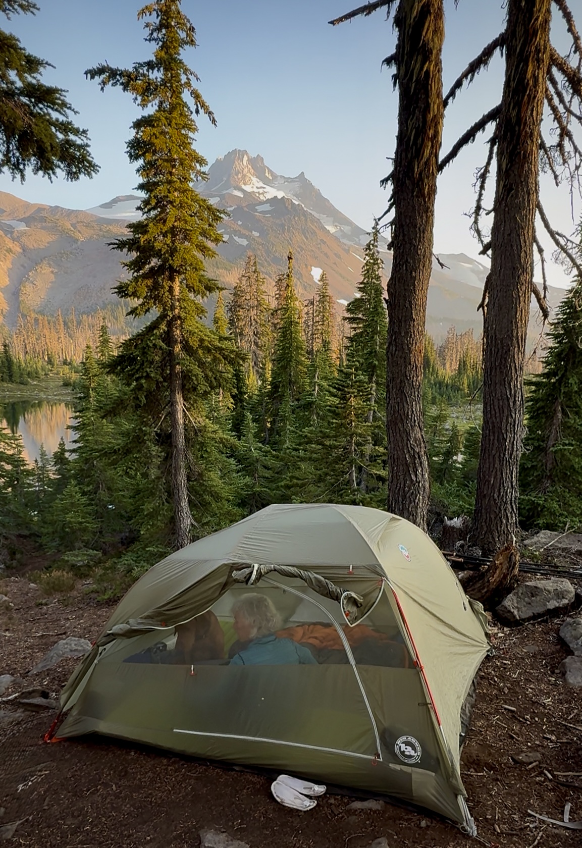
Entering Jefferson Park I was once again immersed in the immense beauty of this Garden of Eden. Streams that flowed with milk and honey, evergreens forests thick with life, the glaciers on Mount Jefferson glimmering in the sunshine.
Everything was perfect, but it was now the end of the day and no Dale and Peggy. A Through Hiker who was laying down tracks at a quick pace came up from behind me. I asked her if she had seen a couple backpackers with a dog? She remembered them, (everyone remembers the dog), she said she saw them taking a break and that they seemed fine. This was very reassuring and I thanked her for the good news.
It turned out that like the year before on Mount Hood and the Timberline Trail, Dale had hit a wall and was experiencing extreme fatigue, much more than I had ever experienced, as obviously I was way ahead of them.
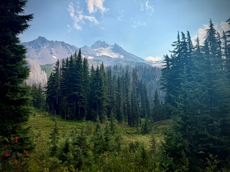
It was so good to be back in Mount Jefferson Park, a place that was… in a word: perfect.
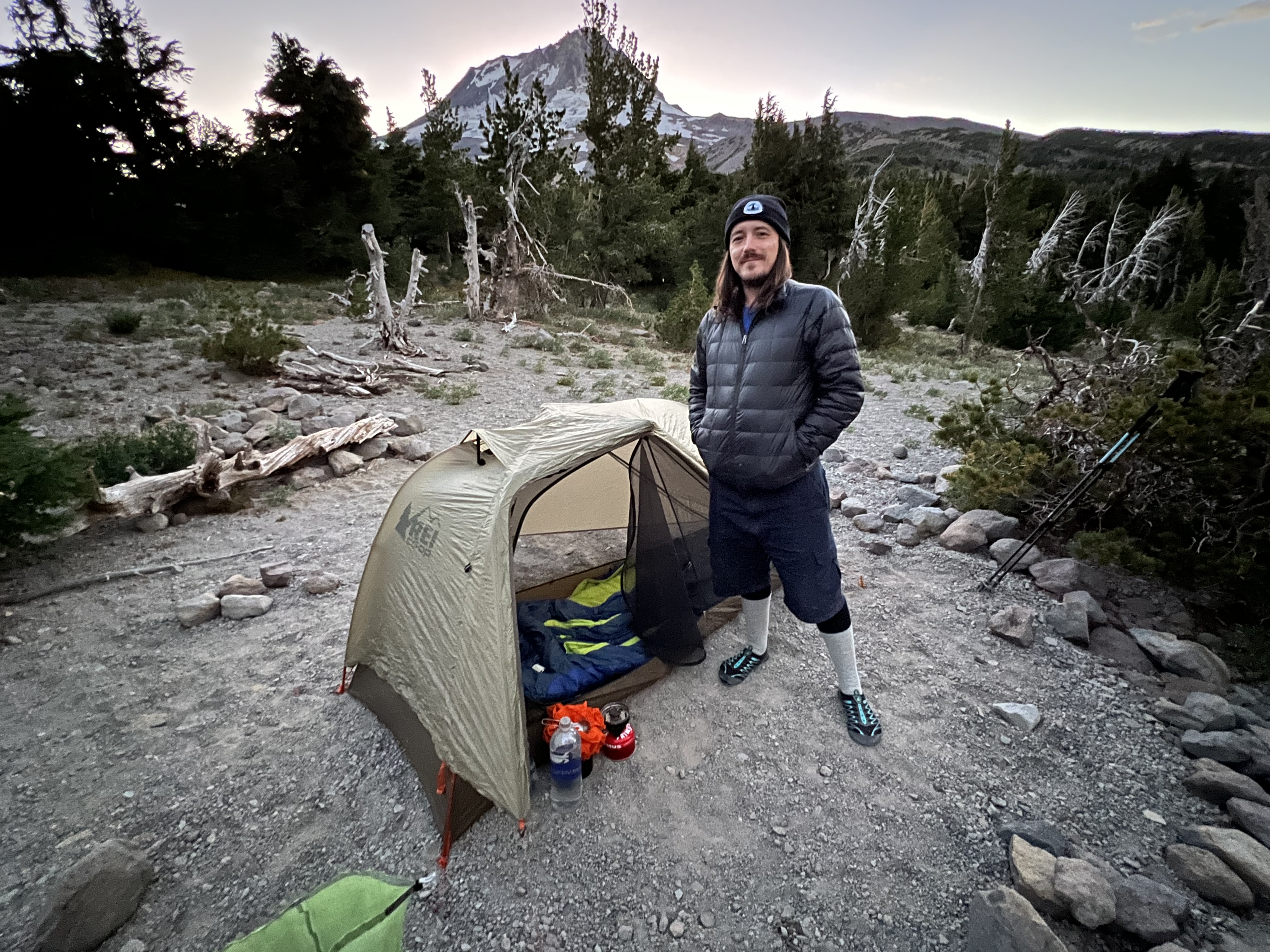
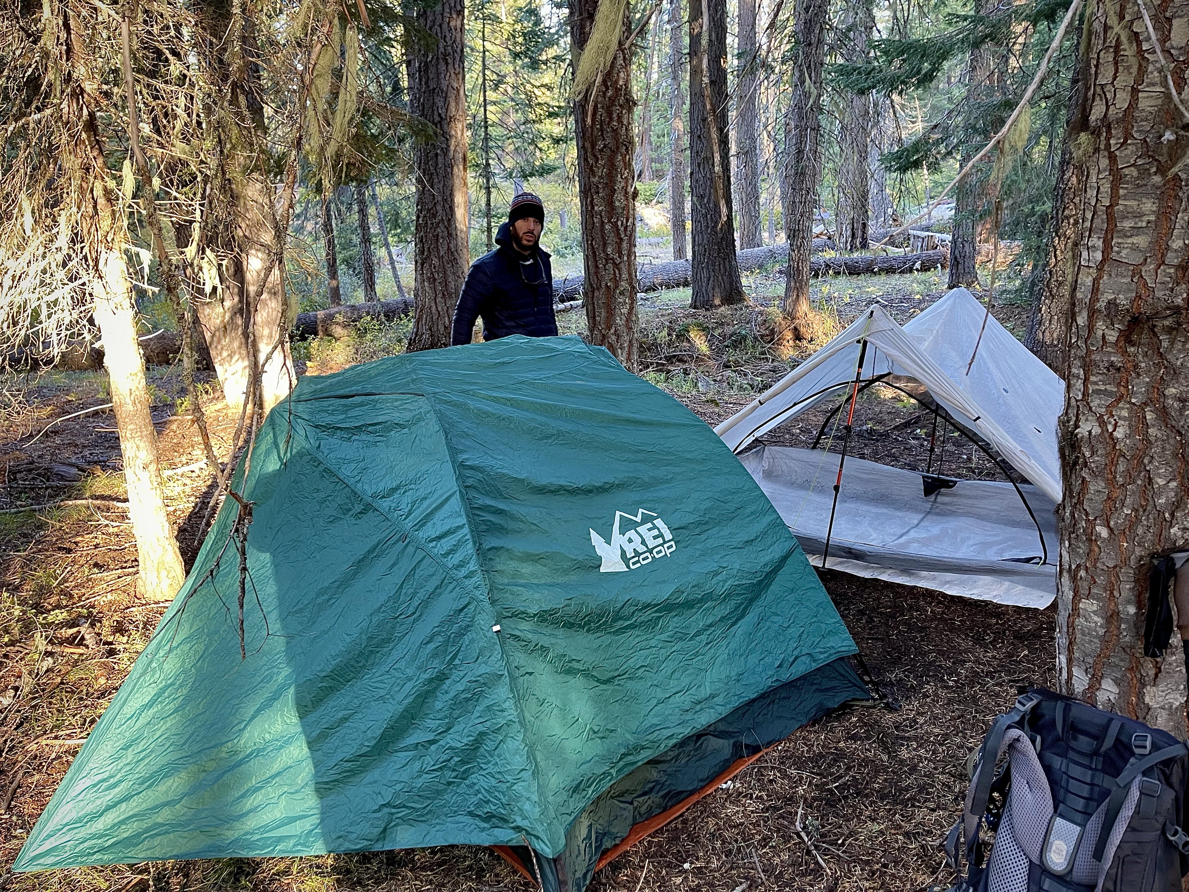
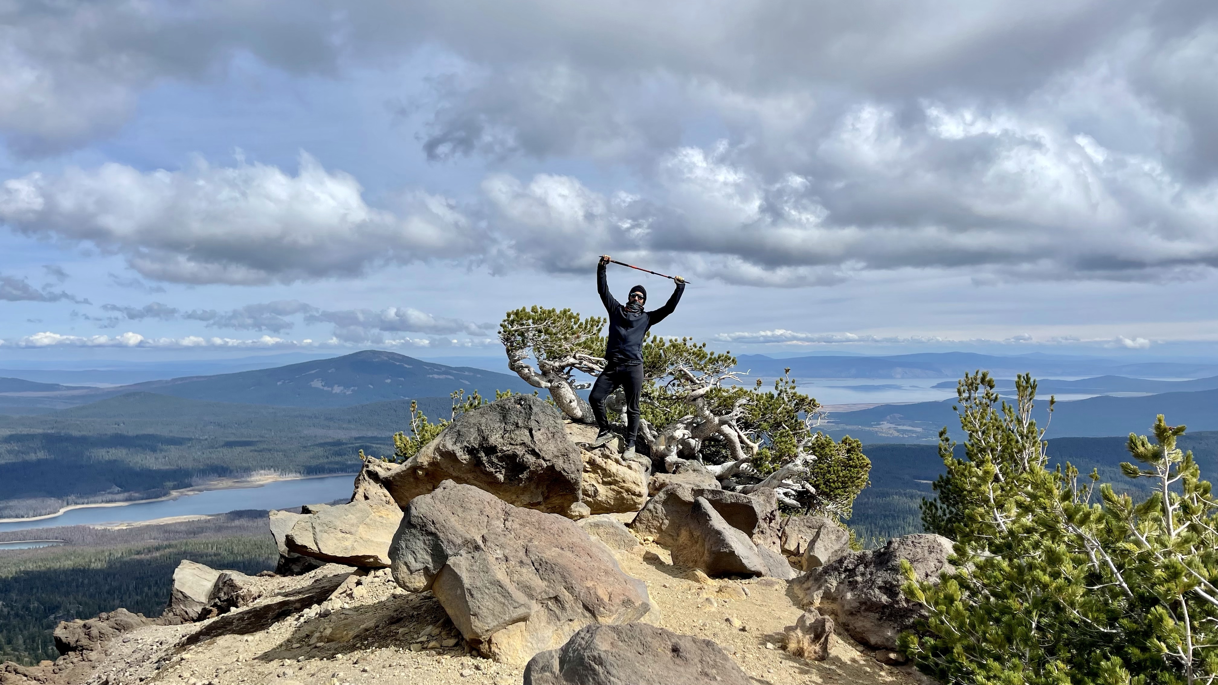
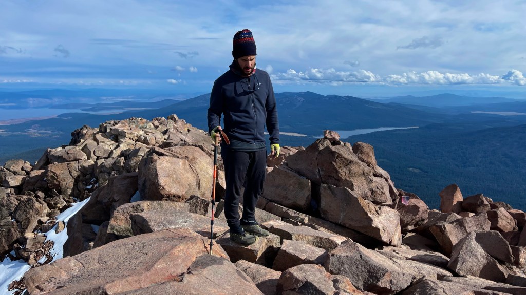
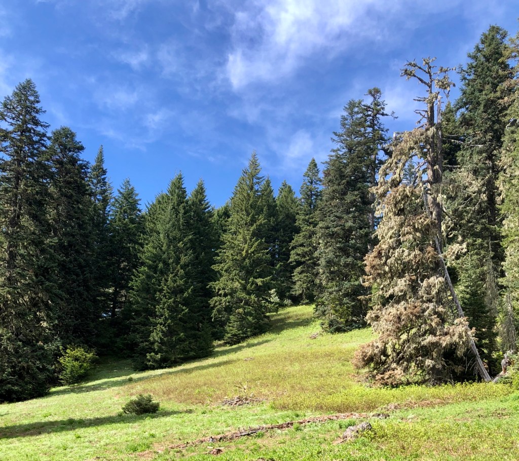
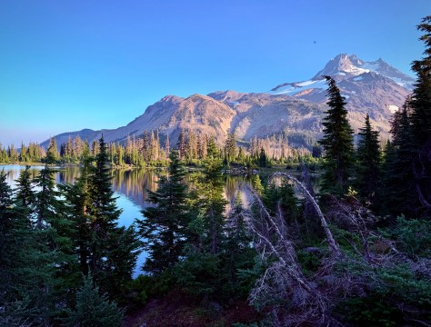
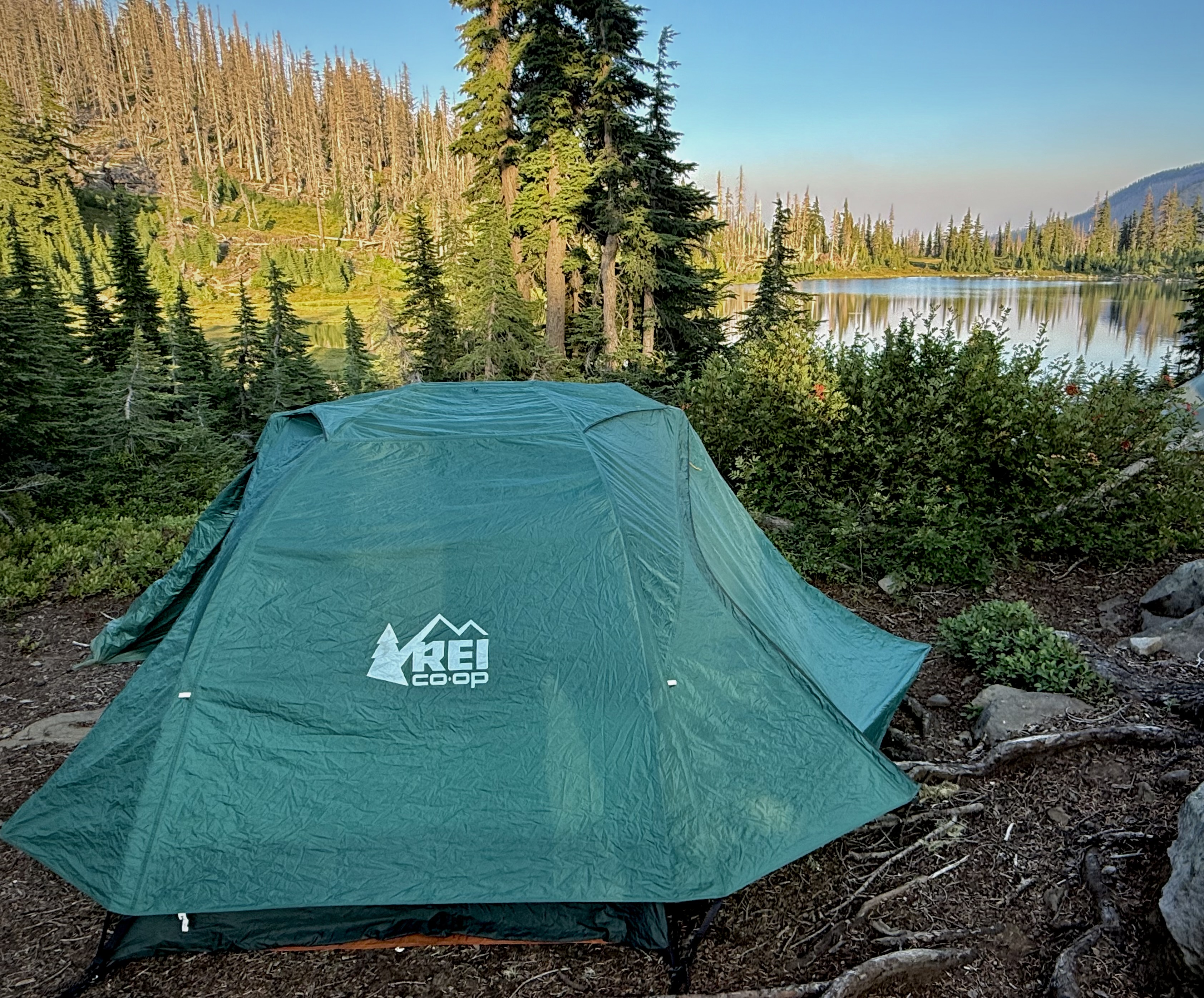
Our camp for the night was Russell Lake, surprisingly I was the first to arrive.
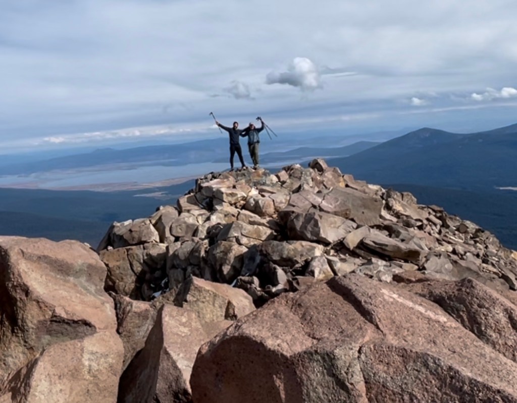
It turns out that Anthony and Katie took a brief side excursion around a couple other little alpine lakes nearby scouting places to camp as Anthony is always taking notes for other endeavors.
I scouted a couple spots to camp and then decided to take a load off and just enjoy a snack and the remarkable vision before me. It wasn’t long before Anthony and Katie arrived and we started setting up camp. I let them know that I had heard that Peggy and Dale were okay.
We were later all reunited and happy to be together in this stunning spot. We all went for an awesome swim in the lake. It felt great to wash away the trail dust. We shared story time perched on some rocks down by the lake as we ate our dinner. Peggy and Dale once again with their lavish Home Made Trail Cuisine, the rest of us were resigned to backpacker just add boiling water meal in a bag.
Mount Jefferson Wilderness, Day 3
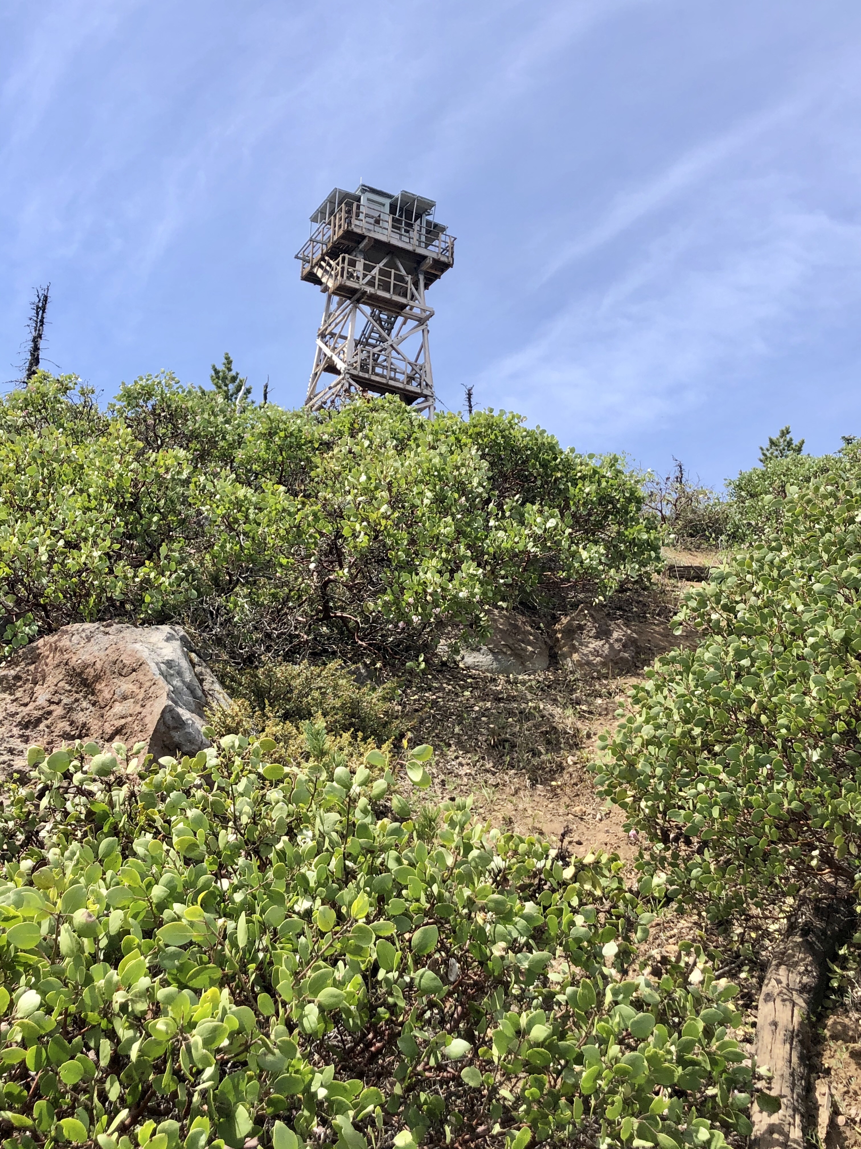
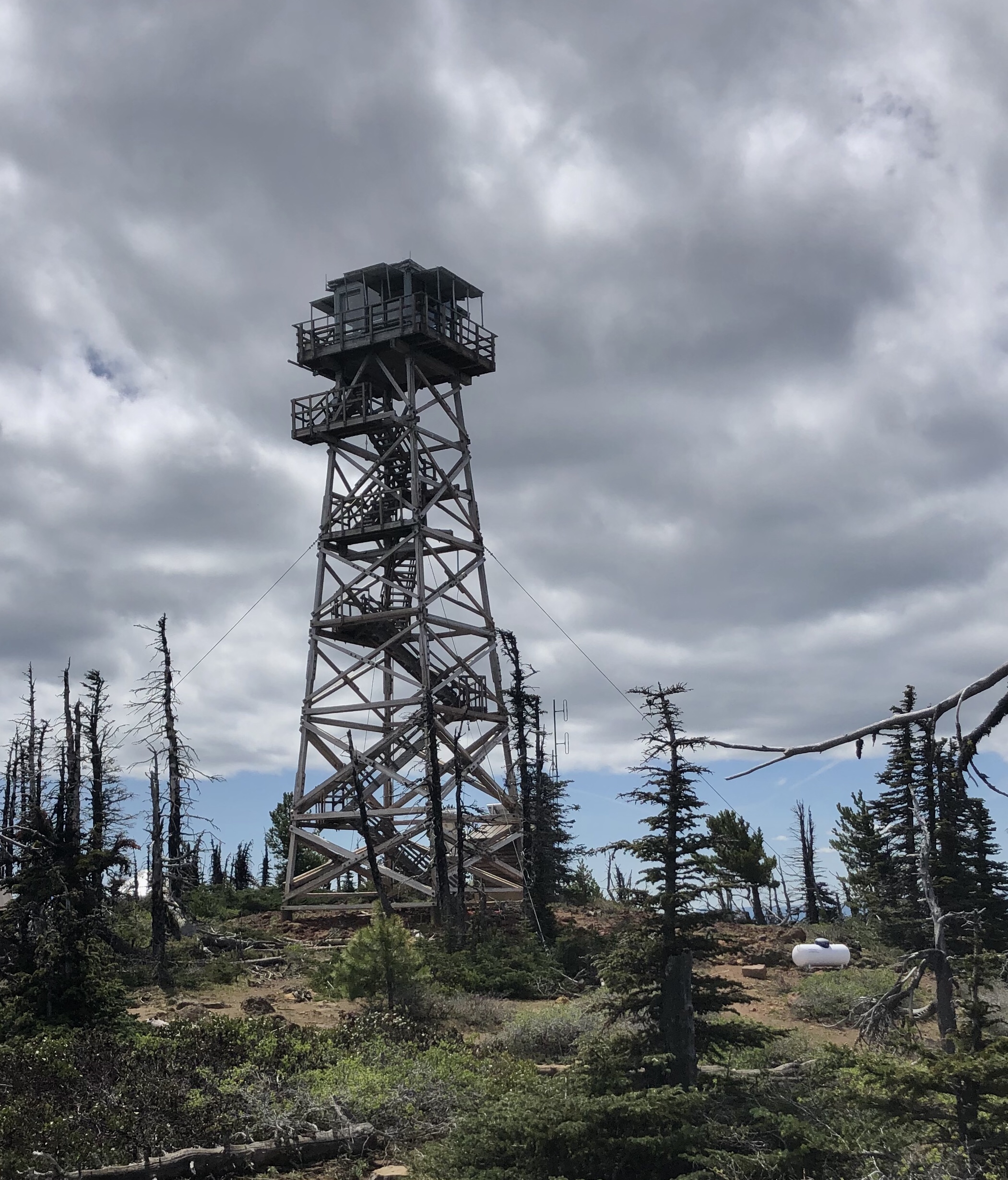
CLICK THE PIC!

Anthony, Katie, Peggy, Dale, and I say thank you and I hope you are enjoying these episodes of ‘Pursuing Balance Through Adventure’ Oregon Hiking in the Mount Jefferson Wilderness. This addition is such an utter dichotomy from the extraordinary beauty in Mount Jefferson Park, (Not sure why they refer to the area as “park”, as when I think of a park I think of roadways, bathrooms, campgrounds, ranger stations, visitor centers and so forth. There is nothing like that in Jefferson Park), to the bitting ruin of what once was the quintessential Pacific Northwest forest. I keep telling myself this is the balance of nature, not always so beautiful. Nature gave us the beauty and it also struck it down with a lightning storm which turned into a firestorm inferno. Someday the burn scar area will be a marvel once again, but not in our lifetime. There is more to share of our Mount Jefferson Wilderness Adventure. (Mt Jefferson Wilderness Finale) Stay with us for more mountain trekking all you have to do is: LIKE, COMMENT, FOLLOW and SHARE. Don’t forget to visit my Online SHOP APPAREL for top quality adventure wear that carries the mantra, the banner, the message, the logo: ‘Pursuing Balance Through Adventure’. Profound Experiences in Nature is what we seek to Balance home/work life with peace and harmony. The menu showcases the many locations that PBTA travels. Each location is a separate website and thus needs to be FOLLOWED independently.
Happy Trails-
Roger Jenkins
Pursuing Balance Through Adventure